The Trek in a snapshot

Trek Planner Maps
This content is locked
(memberships are currently unavailable)
This content is locked
(memberships are currently unavailable)

Experience. Discover. Explore.
Follow along on our adventure then go out on your own!


The canyon is beautiful. There are several short waterfall areas and the pictographs are impressive.
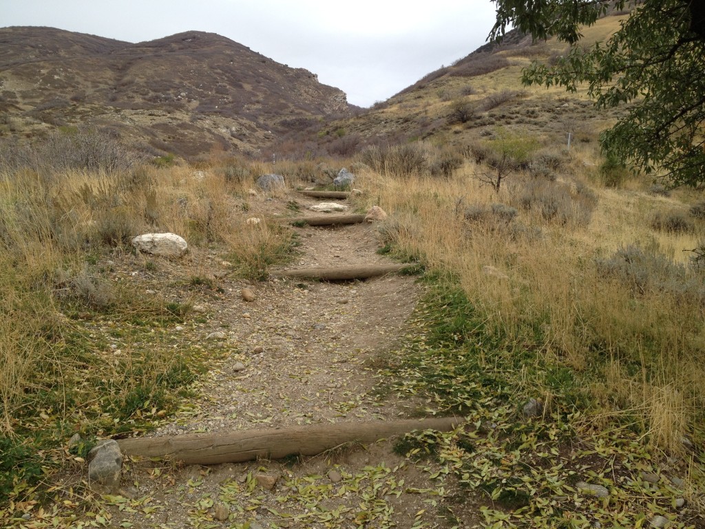
This is a very simple and easy hike for any age. It only took me about 40 minutes round trip from the parking lot at the bottom. I didn’t even bring water because I knew it was so short.
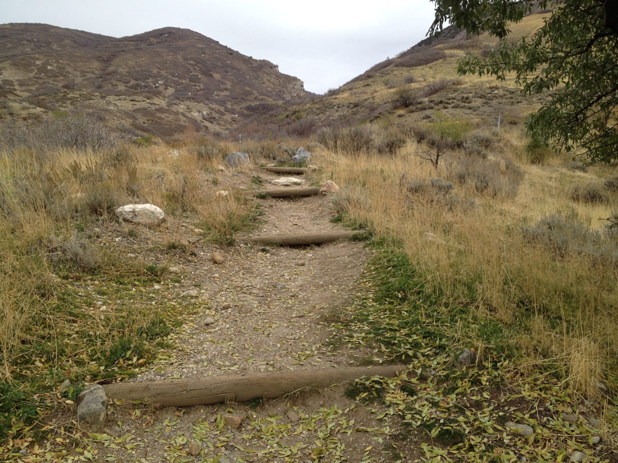
The trail starts off going up the mountain towards Parrish Canyon.
You will quickly wind your way to the top of the Bonneville Shoreline Trail. This is where you will need to turn left back towards the Parrish Canyon.
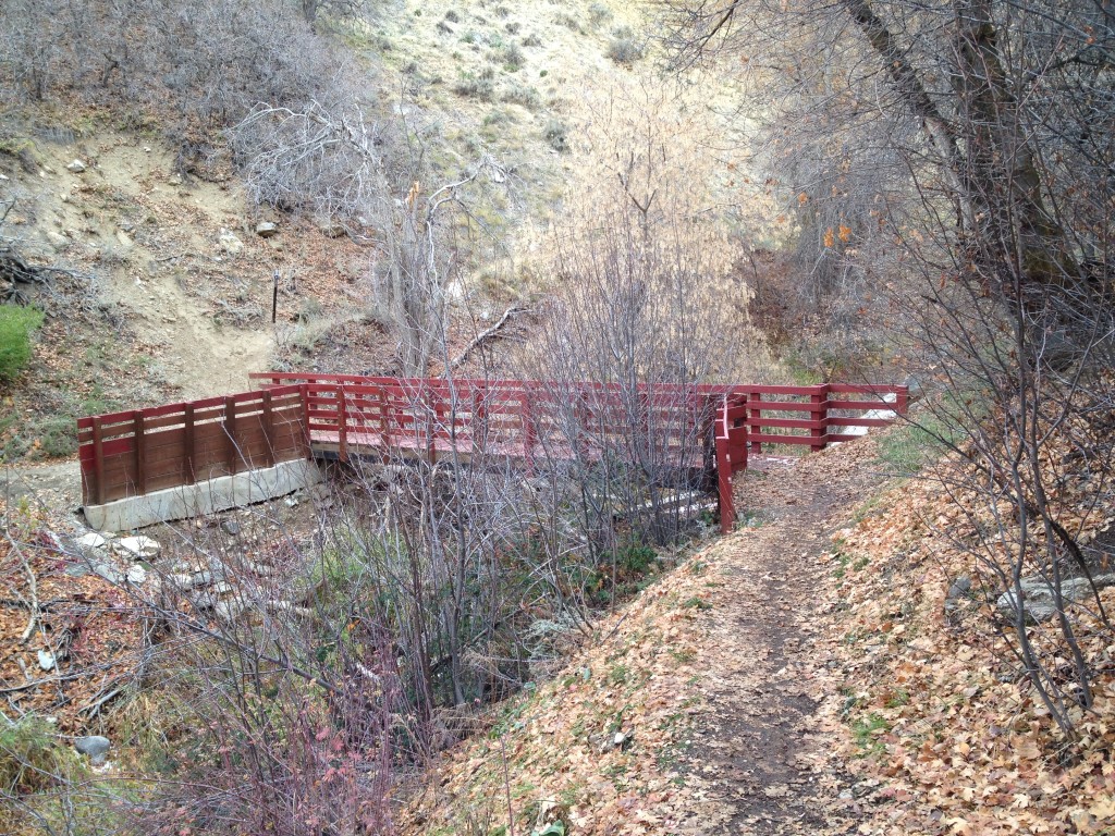
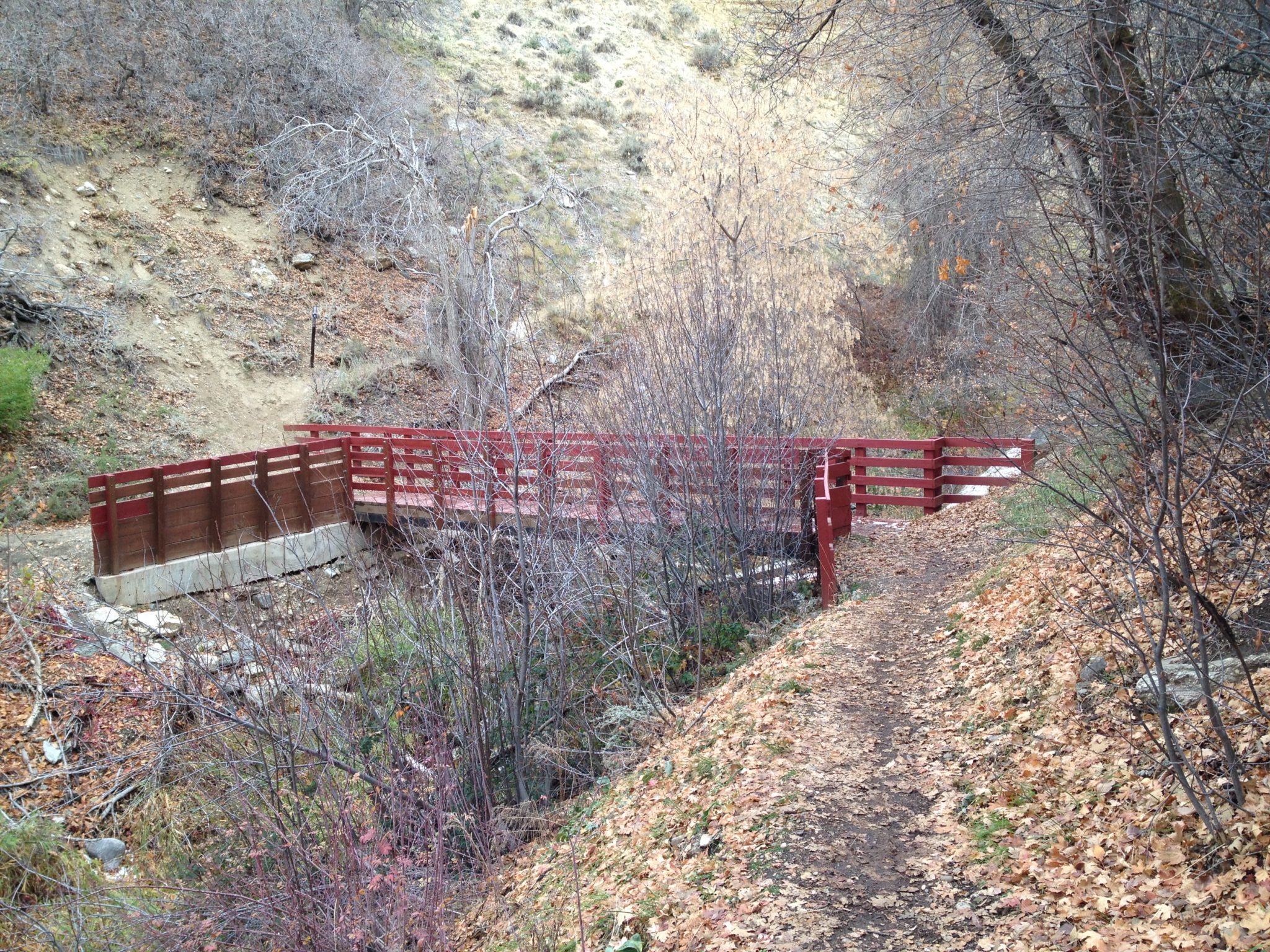
Once you come back to the canyon you will come to a red bridge.
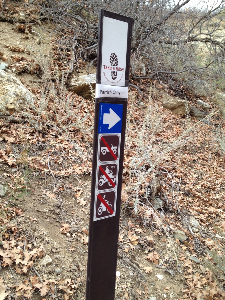
Cross the bridge and you will notice a trail marker and see the trail going back up the canyon and following Parrish Creek.
Continue on up the path.
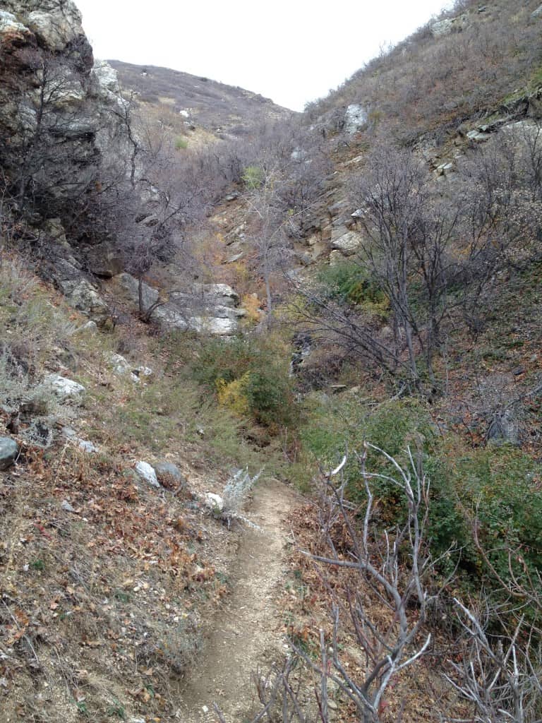
The trail gets very narrow and the bushes and thorns have seem to overgrown parts of the trail. You are STILL on the right path and it is not too much farther up the canyon from here.
Once you come to a large rock face on the left hand side you will need to carefully pass this area by climbing up on the rocks a few feet.
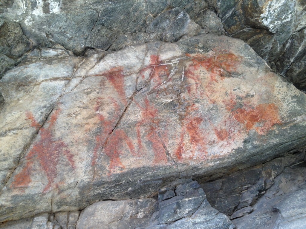
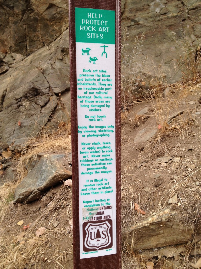
After this you will see a United States Forest Service marker explaining a little about general rock art information but mostly it talks about not defacing the pictographs.
Stupid people have scratched and scribbled on portions of the pictographs leaving permanent markings that will forever be with the rock art. Please do not do this – let us be respectful members of the community.
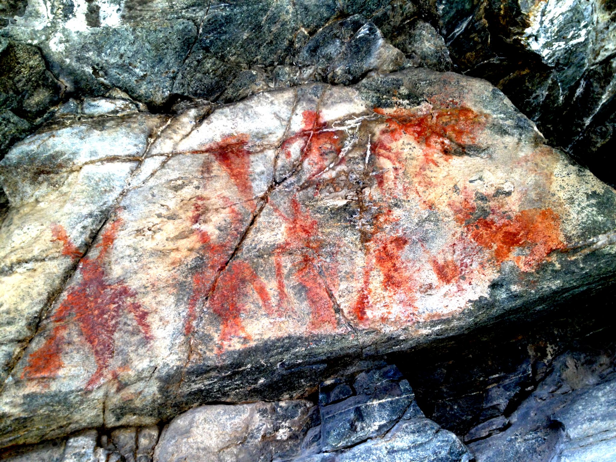
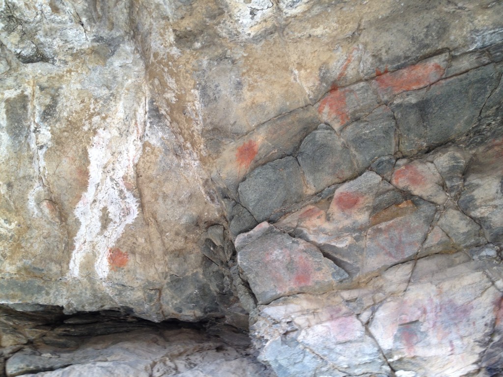
The pictographs are faint yet they are still remarkable. They are most likely drawn by the Fremont Indians that were in the area before the Pioneers came into the Utah.
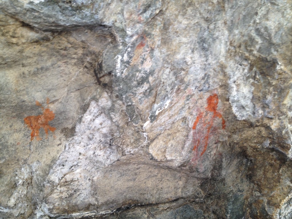
Parrish Creek Pictographs

Personal Thoughts
Parrish Canyon is a great little place to explore that does not take too much time. If you want to see something different then I suggest you head on up and check out these pictographs.


[…] Link to the Parrish Creek Pictographs […]
Nice blog! Very detailed – lots of facts. It’s sad that most people ruin pictographs. Alicia
Are there any waterfalls to head to after seeing these pictographs?
Hi Hannah! I haven’t gone too much farther after the pictographs but I didn’t see any waterfalls. There might be some way higher up!
You will see waterfalls on this hike along the entire way. Most all of the canyons that have water you will find waterfalls some small and some extra medium. Some are on private property please obey all private property sings otherwise you will get a ticket… so a friend told me …
There are some amazing trails near Centerville. Thanks for sharing some of these. i wasn’t aware of the pictographs that can be seen. Do you know if there are pictographs in Adam’s canyon?
Hi David. I haven’t found any pictographs in Adam’s Canyon but I have found some in Davis Creek in Farmington.
Are dogs allowed on this trail? Thanks for doing all these articles:)
Hi Christina, Thank you for your comment! Pets are allowed in Parrish Creek. The Forest Service says this about dogs along the Wasatch national forest: “All dogs must be on a leash in all campgrounds, picnic areas, and trailheads at all times. Pets are not allowed in swimming areas.”
Yes please dont spoil the experience for the rest of us. Good dog owners welcome. You may have a good dog however when it is surprised by little kids or adults it can and will bite others. And stop telling people our dog dose not bite.
Love this site,, do you know of any other Native American Pictographs places in Davis Weber county
Hi Dane! There are several other places around Davis/Weber counties. There are some in Davis Creek (http://thetrekplanner.com/davis-creek-waterfalls/) in Farmington and also lots in Willard (http://thetrekplanner.com/willard-pictographs/)