
The Trek in a snapshot

Trek Planner Maps
Trail Map is for Trek Planner Insiders only
This content is locked
(memberships are currently unavailable)
GPS Coordinates are for Trek Planner Insiders only
This content is locked
(memberships are currently unavailable)

Experience. Discover. Explore.
Follow along on our adventure then go out on your own!


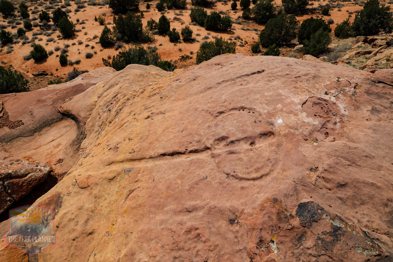
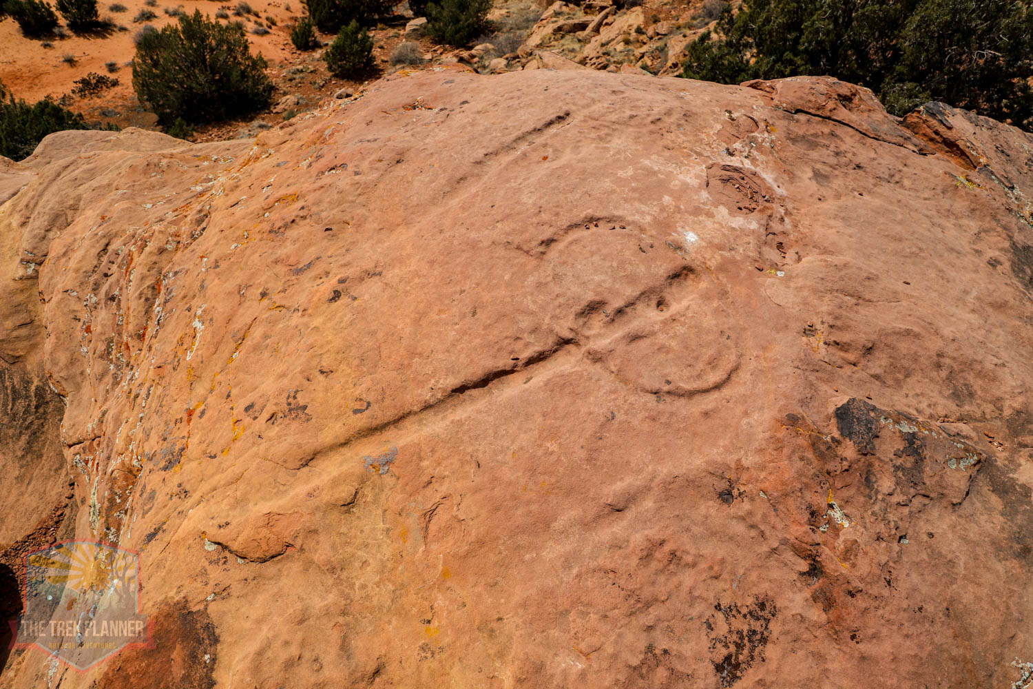
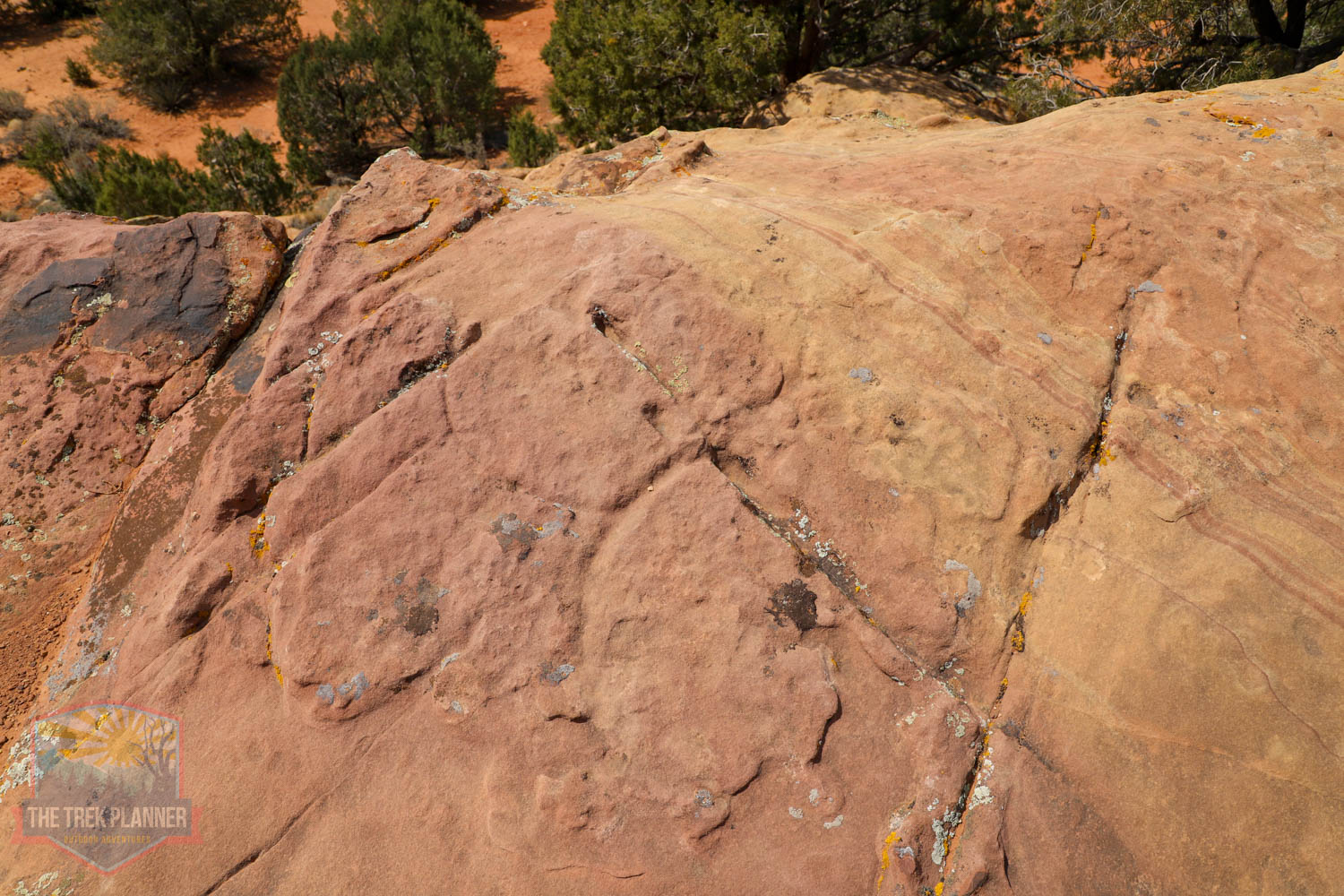
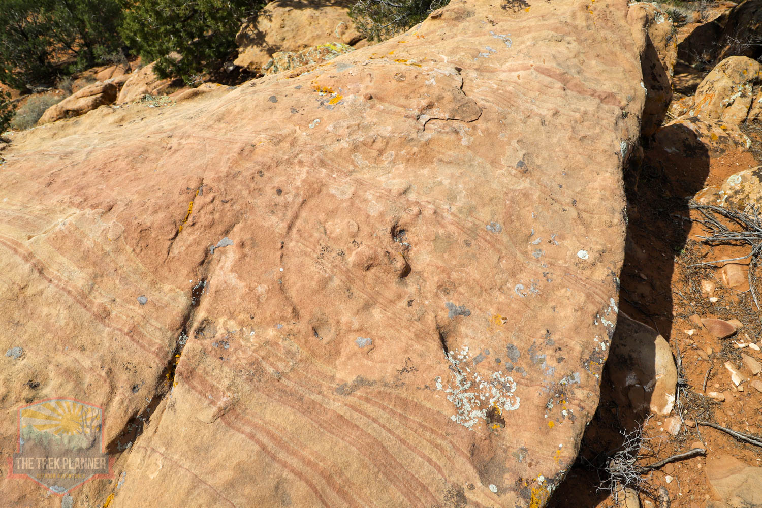
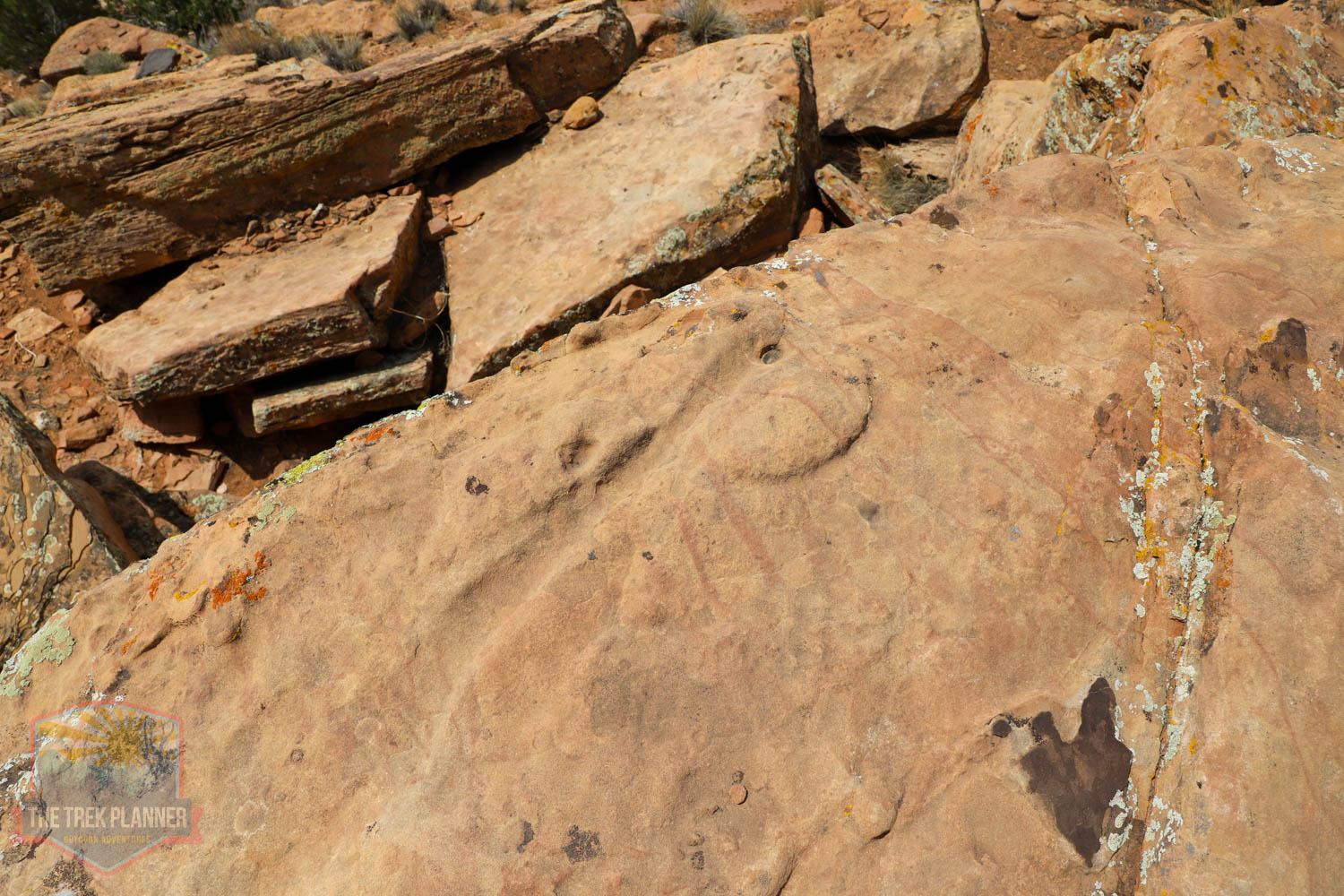
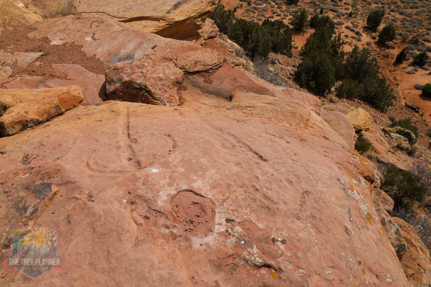
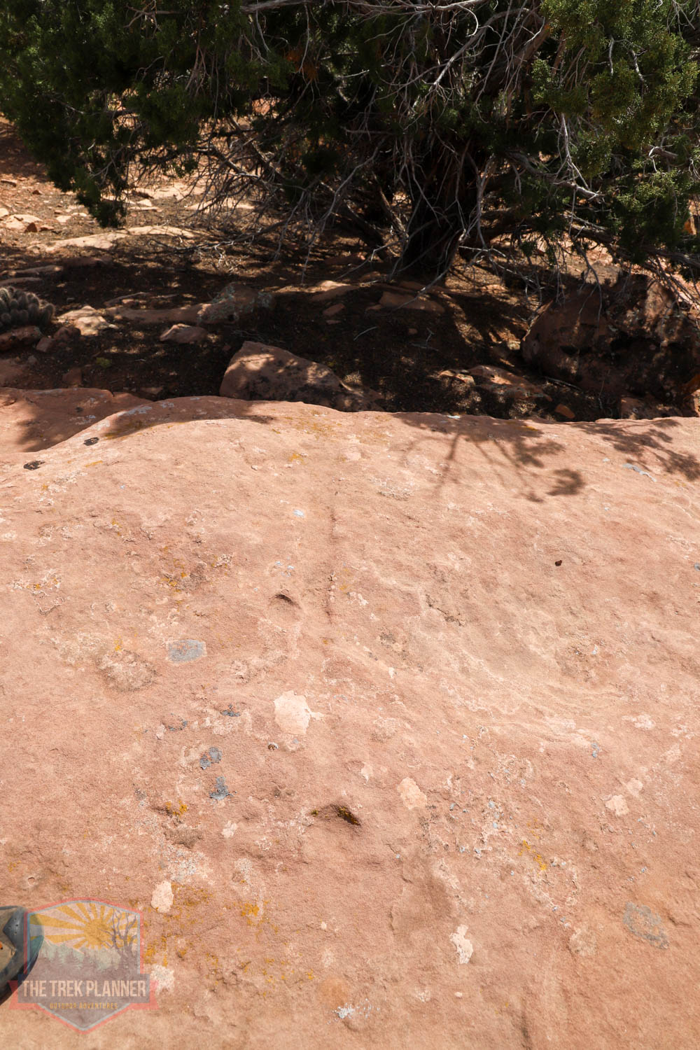
What is a water glyph? A water glyph, I am told, is a petroglyph that points you to where water is located. These are ancient rock carvings that were created as a sort of map. They are typically located in places that overlook wide valleys. The ones here are pointing in the north and south direction. No one knows how long ago they were created. It could be 500-1000+ years old! We don’t know. Some people even believe that they were created by the Spanish explorers. Here is a very interesting article on what the glyphs mean: read here.
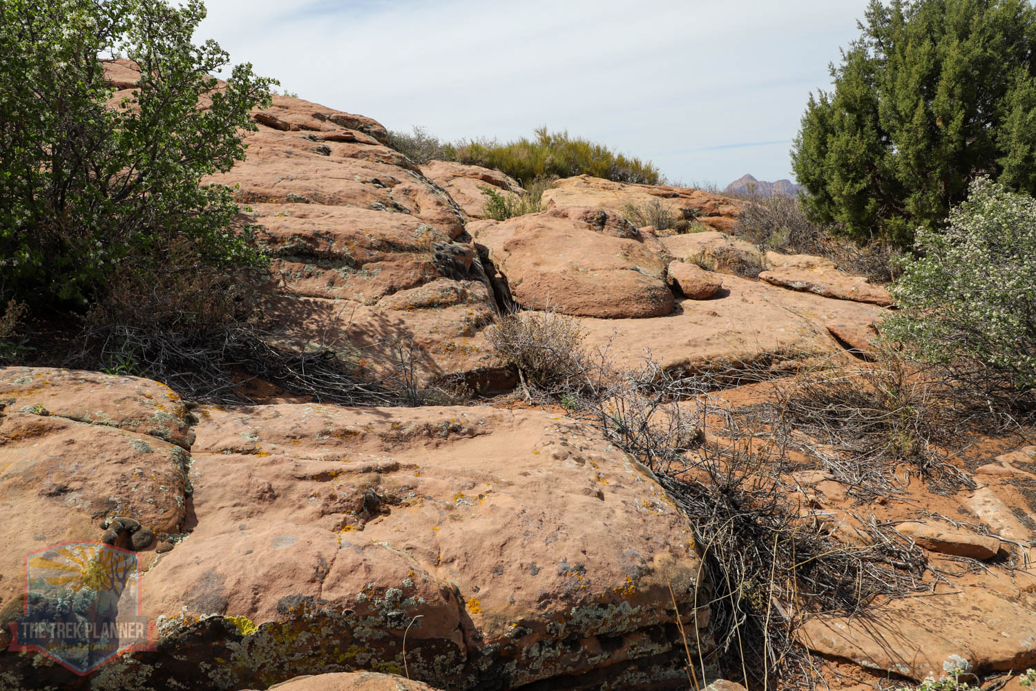
These ones are very easy to get to. I had to go through a cattle gate (keep it closed!) and then walked down to the knoll or hill and just walked around until I found the glyphs.
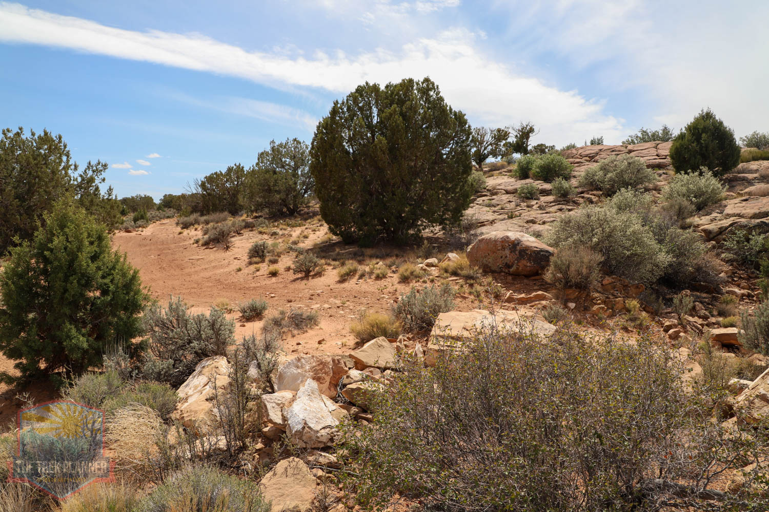

In all, I think I hiked about 1 mile roundtrip and spent about an hour exploring. This is a fun adventure and it’s fun to try and figure out where the water glyphs are pointing. I may have to follow them on a different adventure…
You will notice that the glyphs typically have a line with a circle at one end with a dot. The dot seems to be in different places depending on the location.
Some of the glyphs are difficult to spot, so use my GPS coordinates to get you close to them.


Trek Planner Insiders have access to a few more pictures below
This content is locked
(memberships are currently unavailable)

Personal Thoughts
If you are in the area and want to see some interesting history, then I suggest you visit here!


