
The Trek in a snapshot
Location
Provo, Utah
Managing Agency
City of Provo
Pets
Allowed on leash
Fees
None
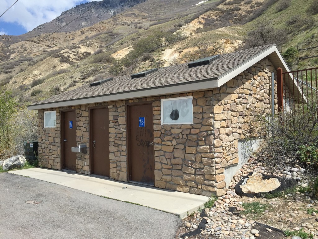
Restrooms
Yes, at parking lot
Camping
Not allowed
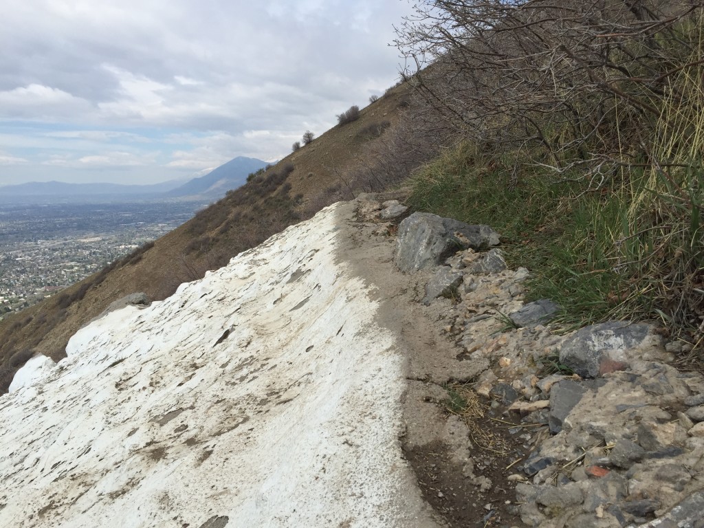
Trail Condition
Very wide and steep dirt trail
Sights
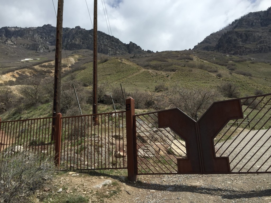
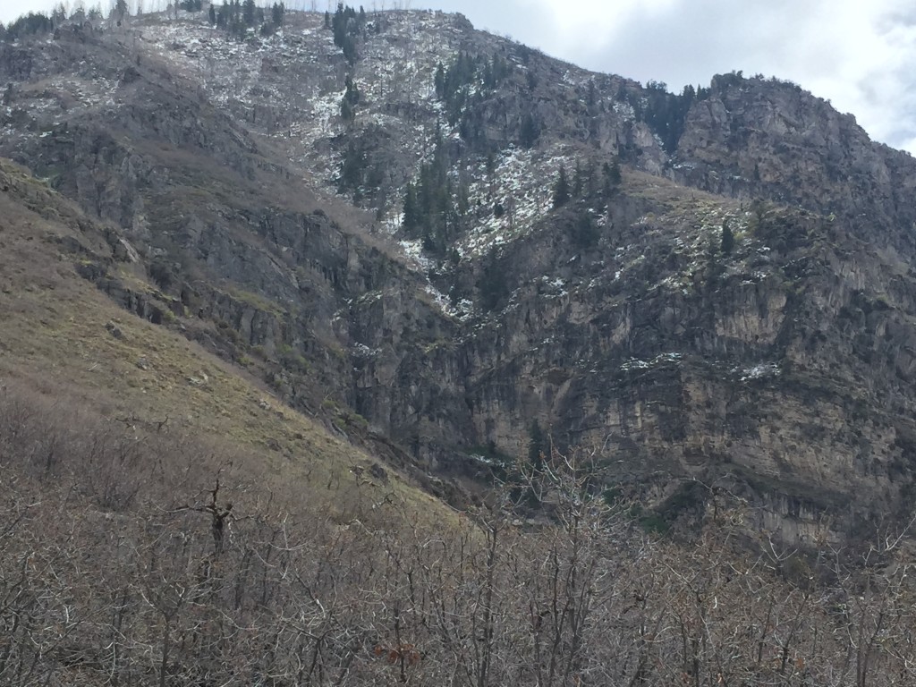
The big letter “Y” on the mountain, Slide Canyon, Bonneville Shoreline Trail, Utah Lake, Utah County
Water Info
Bring 1-2 liters of water
Best Season
Spring, summer, fall
Distance
2.25 miles
Time Required
1+ hours
Parking Elevation
5147 ft
Summit Elevation
6221 ft
Elevation Difference
1074 ft

Trek Planner Maps
Trailhead: 40.244947°, -111.627316°
Amphitheater: 40.245295°, -111.626770°
The “Y”: 40.248241°, -111.620119°

Experience. Discover. Explore.
Follow along on our adventure then go out on your own!


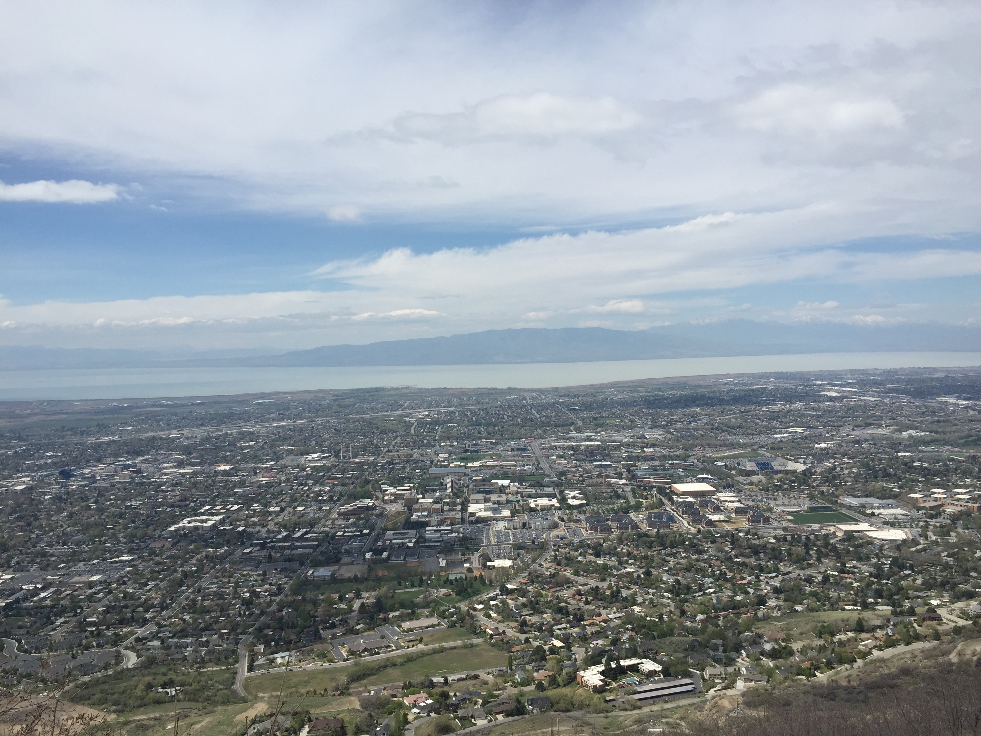
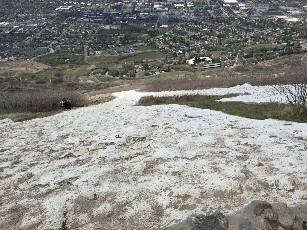
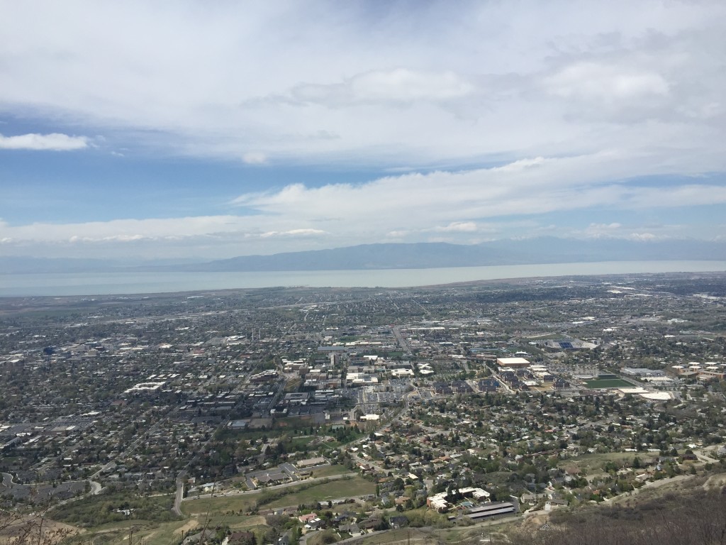
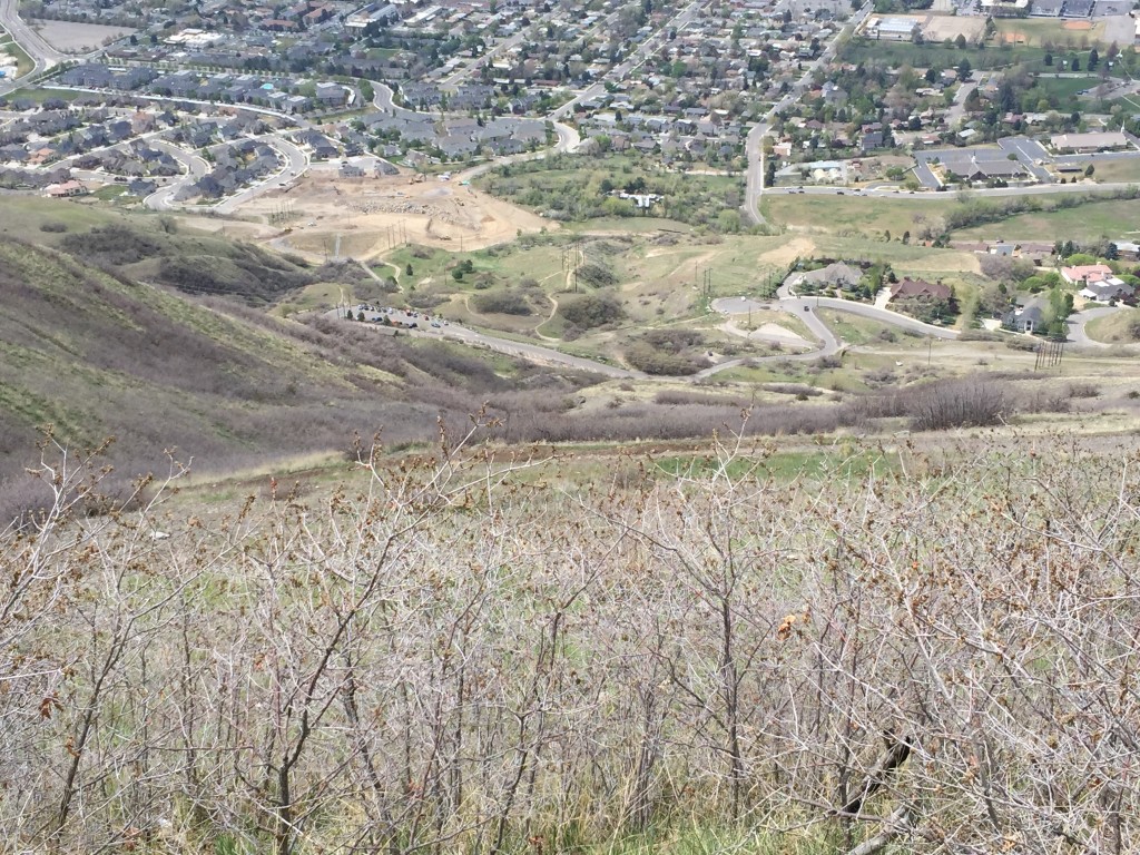
The Y Hike is a very popular trail in Utah County. It overlooks all of the county, Utah Lake and of course Brigham Young University.
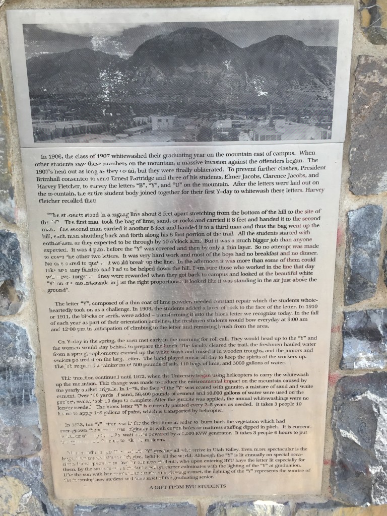
I won’t go too much into the history of the Y but it was started in 1906 when the graduating class of 1907 “whitewashed their graduating year on the mountain.” Pretty soon the letter Y was whitewashed on the mountain and it was an annual tradition to hike up to the top and spread new whitewash over the Y.
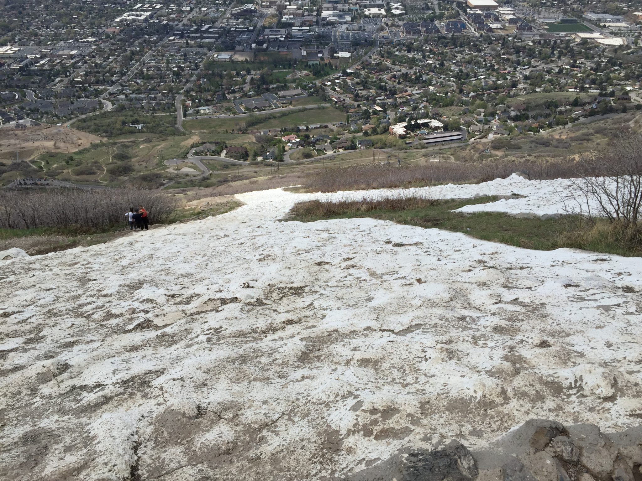
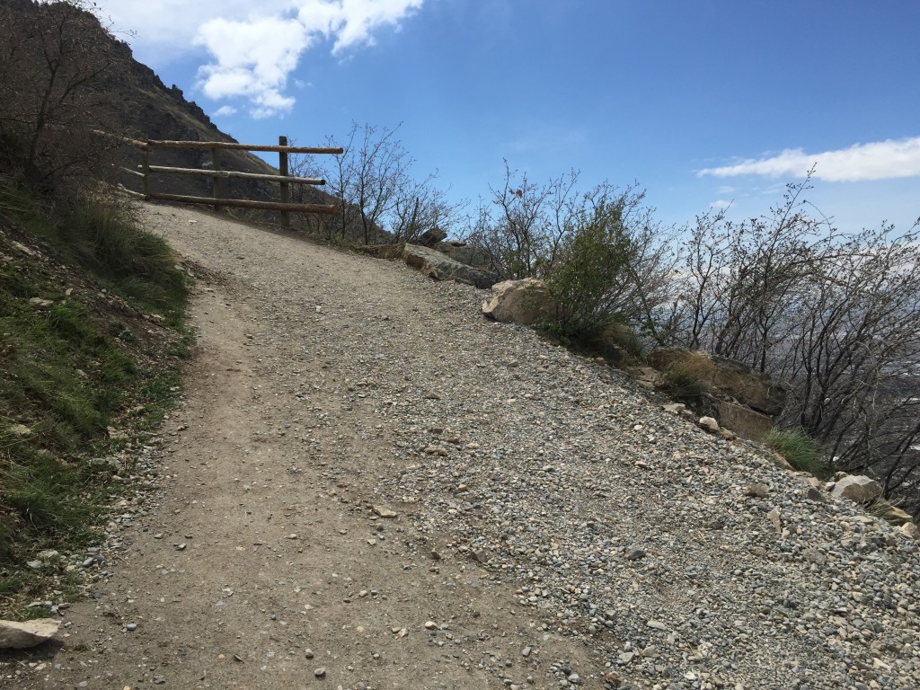
Please keep in mind that this hike is VERY steep for the entire length of the trail. Also remember that you will be coming down on the same steep trail and will be pounding your knees on the way down. I highly recommend using trekking poles for balance and knee support.
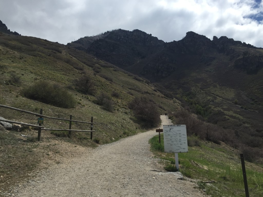
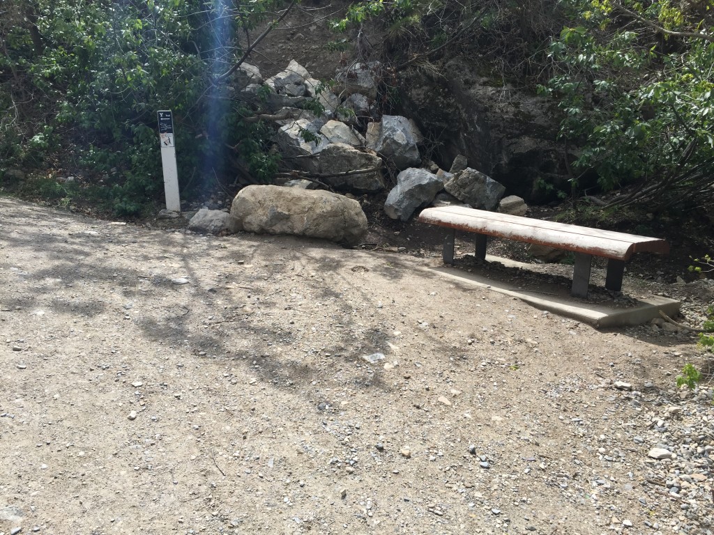
The trail starts off at the parking lot which holds several dozen vehicles. The bathrooms and several information kiosks are located here it. At the beginning of the trailhead you will notice that there are several trails. The “Y” trail is clearly marked and leads straight up the mountainside. The trail to the left goes up a hundred yards or so to the amphitheater where there are several benches. The trail to the right continues south on the Bonneville Shoreline Trail.
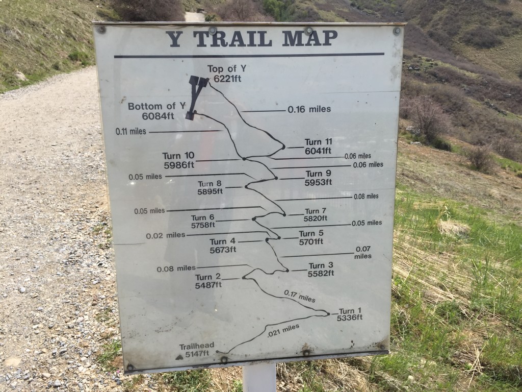
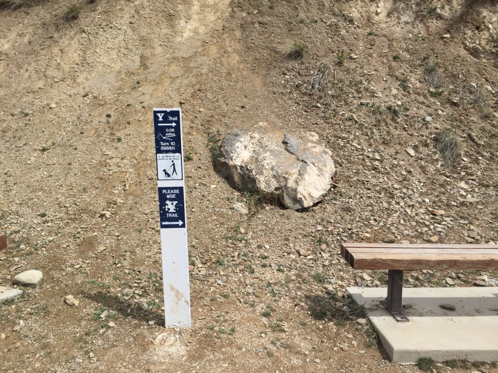
There is an important sign that tells you how many switch backs there are and how long the distance of each on is. I took a picture of it so I could reference it as I hiked up.
The trail is VERY steep! I kept a good medium pace and passed several people on the way up who didn’t carry any water or food with them. I saw another guy showing off to his girlfriend by skipping the dirt path and hiking straight up the mountain shouting “I’m going to beat you to the top!”. Several other hikers and myself passed this guy and his girlfriend going up and coming back down. Just take your time to the top and you will be fine.
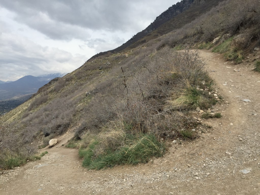
Before you know it you will be getting close to the “Y”. The trail splits and you can hike to the lower portion of the Y or the upper portion. I stayed right and went up to the top portion.
Once at the top it is easy to see just how far you have hiked. You will have gained more than a thousand feet in a mile of hiking and will be rewarded with incredible views of the entire county, Utah Lake and more.

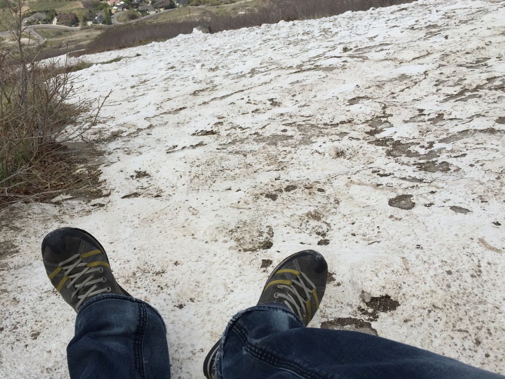
Again, I would recommend you using trekking poles or taking it very slow. On the way down, I realized I was using a ton of force on my knees and they got sore about 1/2 way down.

Personal Thoughts
The Y Hike is a very fun experience and I can understand why it is so popular. If you are looking for a fun hike to do in Provo then consider coming up to the Y.


