
Trek Planner Insider Content
Thank you for being a member!
The Trek in a snapshot
Location
Moab, Utah
Managing Agency
Unknown
Pets
I wouldn’t bring pets near here
Fees
None
Restrooms
None
Camping
Not allowed
Trail Condition
Dirt road
Sights
Mines, mining relics
Water Info
Bring a bottle of water if needed
Best Season
All
Distance
About 1 mile roundtrip
Time Required
30 minutes or more
Parking Elevation
4522 ft
Summit Elevation
Varies
Elevation Difference
Varies

Trek Planner Maps
Shinarump mine 1: 38°40’59.37″N, 109°42’19.13″W
Shinarump mine 2: 38°41’5.30″N, 109°42’19.98″W
Shinarump mine 3: 38°41’12.28″N, 109°42’19.87″W

Experience. Discover. Explore.
Follow along on our adventure then go out on your own!


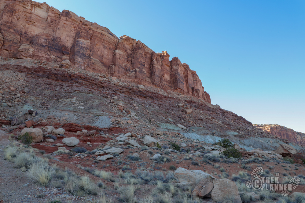
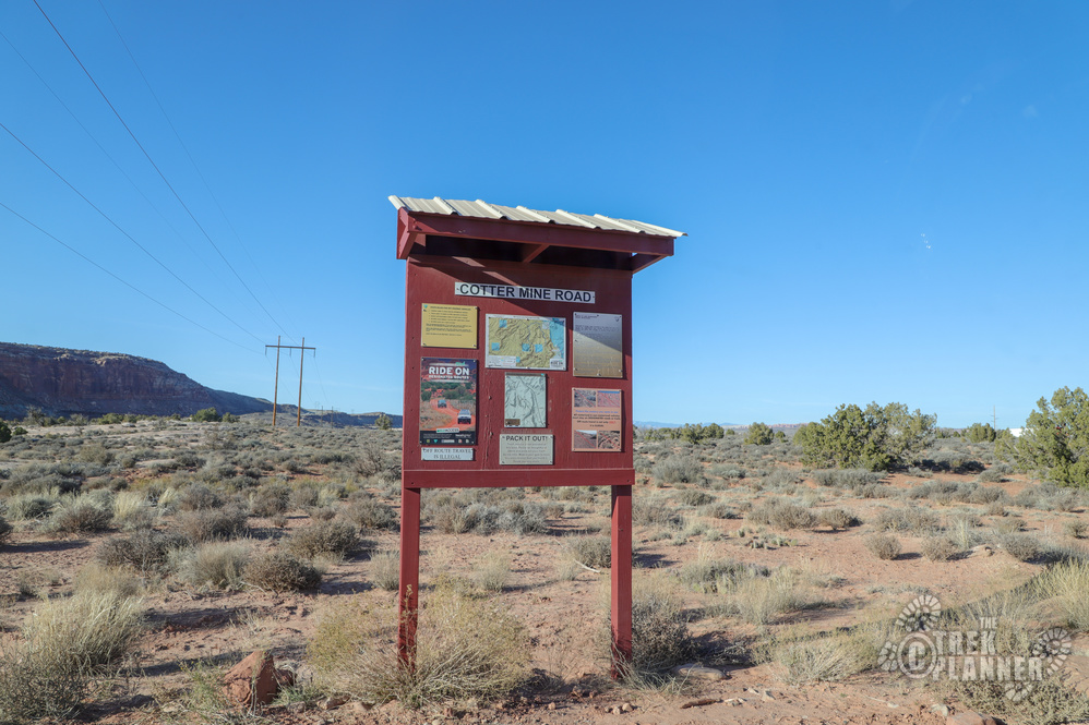
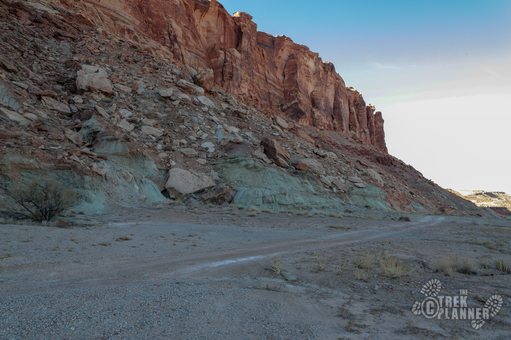
The trail begins on the Cotter Mine Road.
It is important to note that these are uranium mines and just as a precaution, you shouldn’t be spending too much time in the area and you shouldn’t be digging through the dirt, kicking up the dust and breathing it in.
You might be thinking who is this Mr. (or Mrs.) Shinarump and why did they name these mines after his crazy last name? Well, Shinarump is actually a layer of sandstone. If you have ever been to Monument Valley, the sandstone rock layer at the very top of the iconic Mittens is called Shinarump.
Anyway, I found a little history on the Shinarump mines and if you would like a read the mineral surveys and assays then click here. Here is the paragraph on the history of the Shinarump mines:
“The Shinarump No. 1 mine was discovered in February 1948 by Gordon Babbel and Nicholas Murphy of Moab, Utah. During the following year claims were staked throughout the Seven Mile Canyon area. A few tons of ore were shipped in 1949. The mines were idle during 1950. In 1951, mining from several prospects was resumed and since then has been continued intermittently. Over a thousand tons of ore were shipped from the Shinarump No. 1 mine between 1948 and January 1953. The Shinarump Nos. 1, 3, and 4 mines are owned by the Thornburg Mining Company Grand Junction, Colorado.”
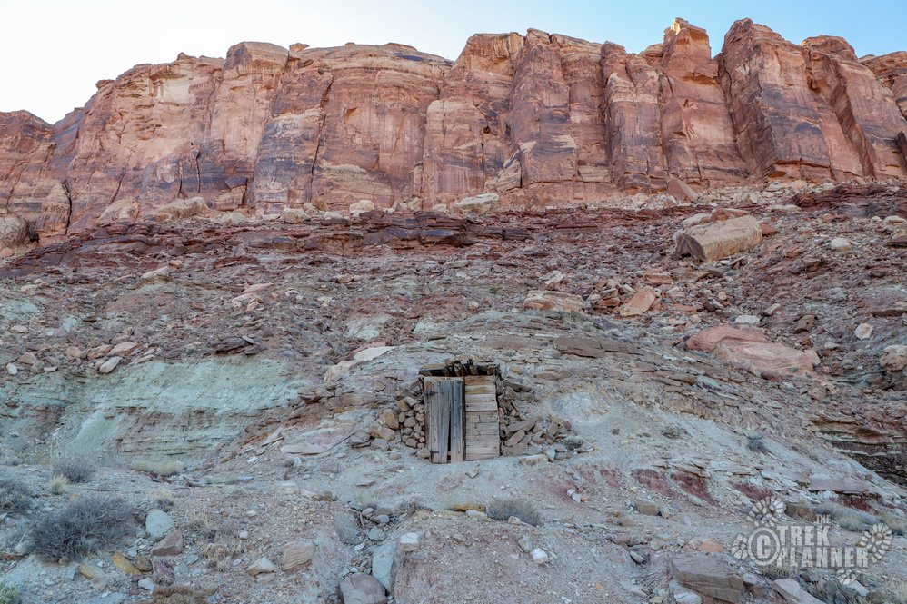
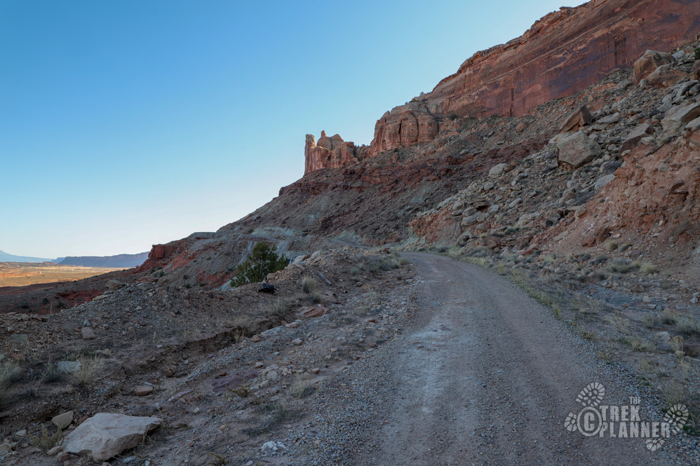
There is a road that goes up to all of the Shinarump Mines but I parked at the base of the cliffs and hiked around.
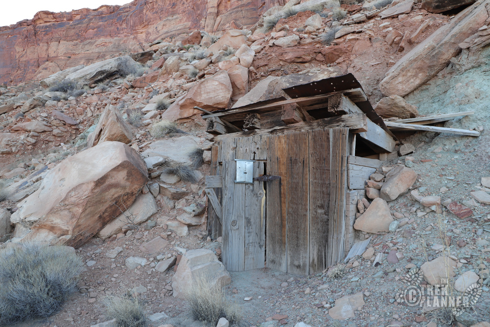
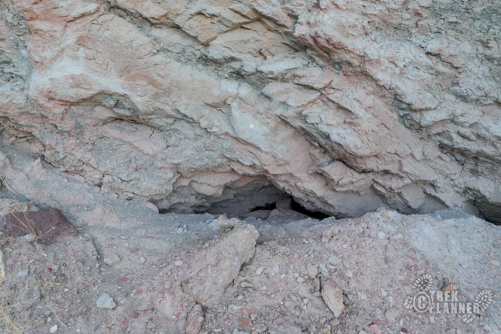
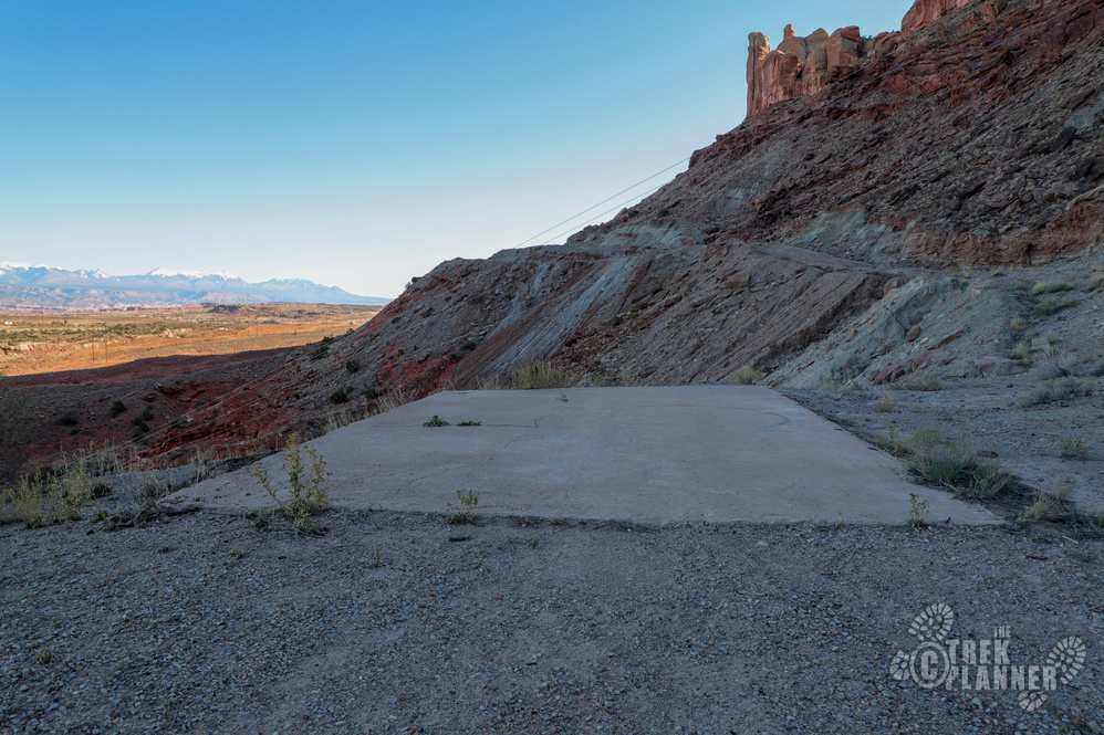
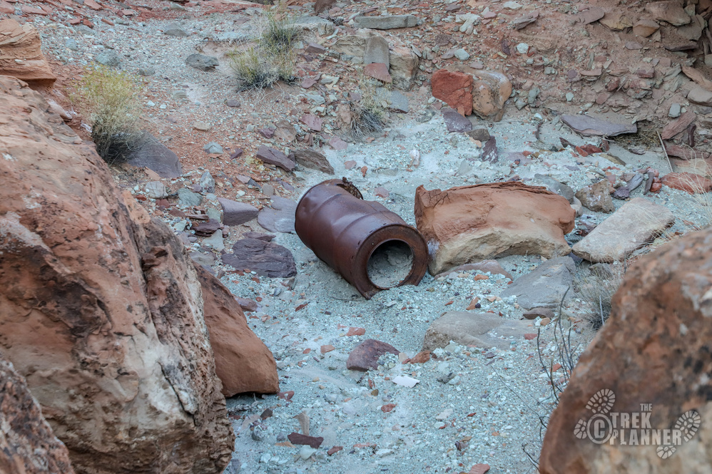
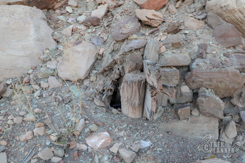
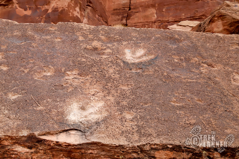
The first mining area I came to had nothing remarkable about it besides a small cement pad. There are some power lines that come right up to the cement pad too. The mine entrance is caved but you can still see the DNR (?) mine tag (see that round metal piece in the picture below) on the rock. The tailings are likely full of radioactive material so I wouldn’t dig around in the dirt.
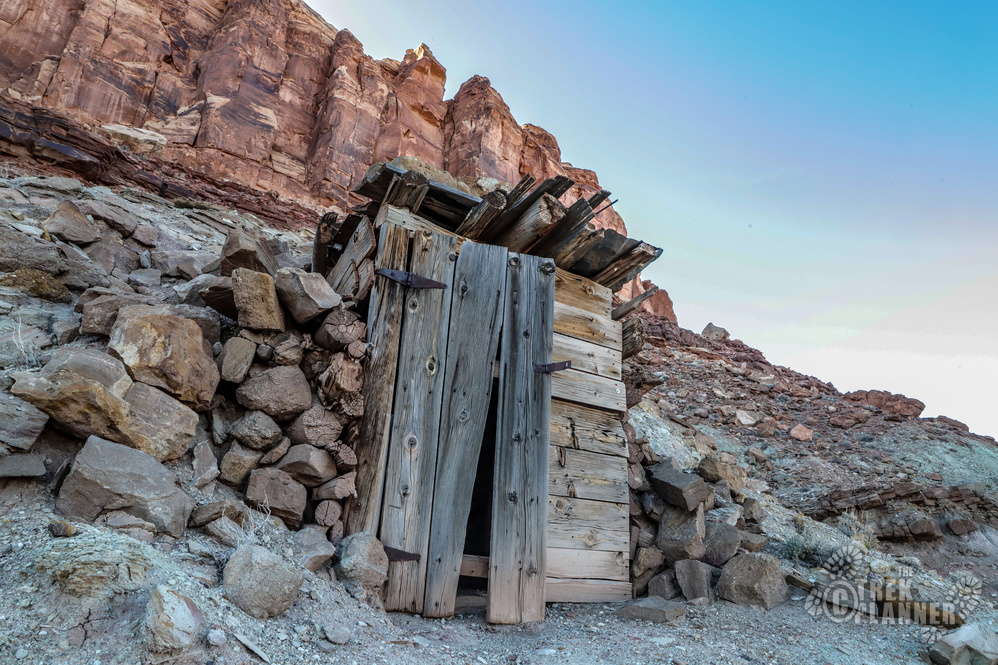
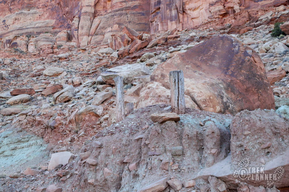
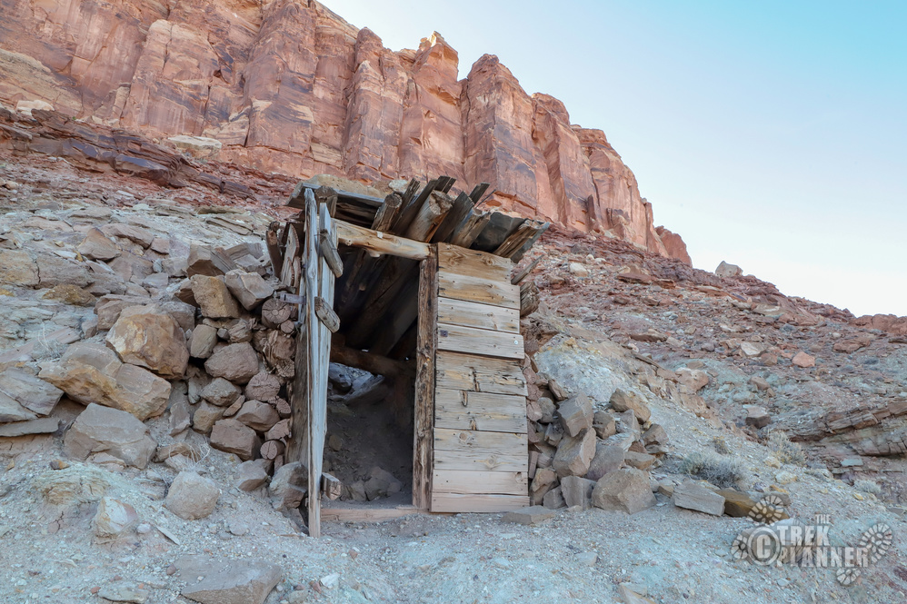
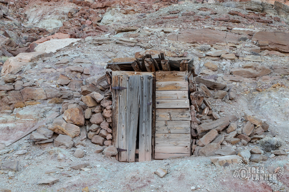
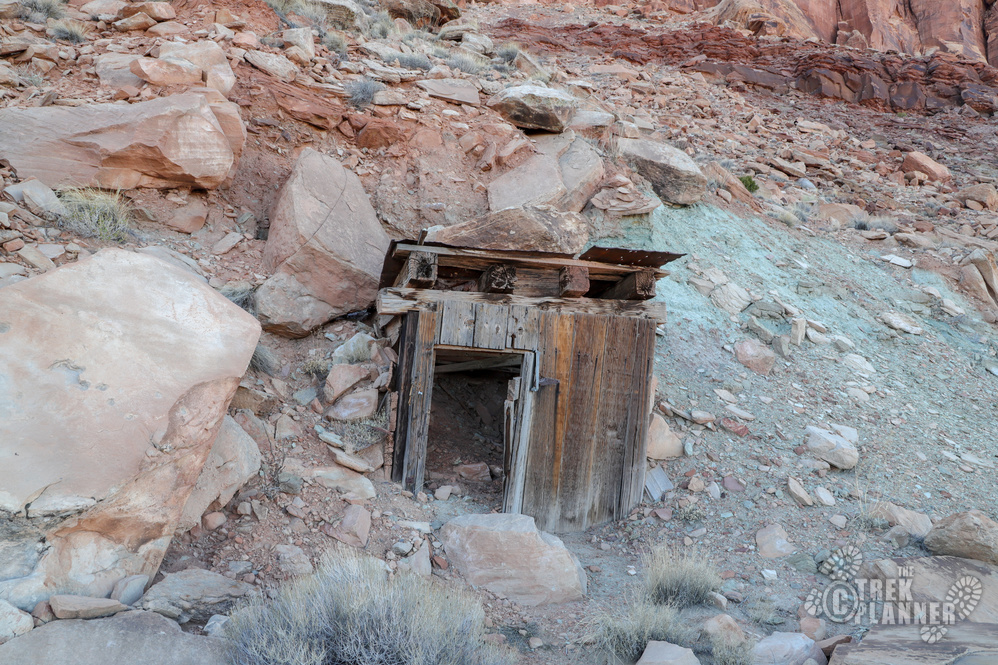
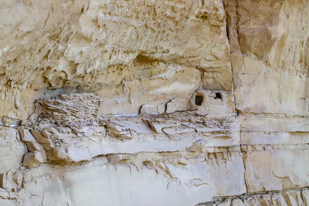
The next mine to the north had some artifacts and even a wooden door at the mine portal This mine is also caved but the wooden structure at the entrance is really cool to see. You can find remnants of a cabin next to the caved entrance. The greenish tailings are also probably radioactive.
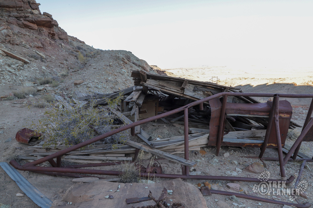
There seems to be two mines in between the concrete pad mining area and the one with the wooden structure. These are also caved but you can still see that some mining activity was done here too.
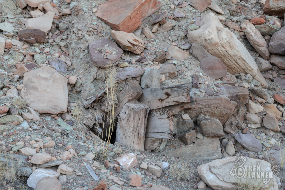
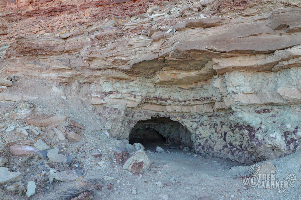
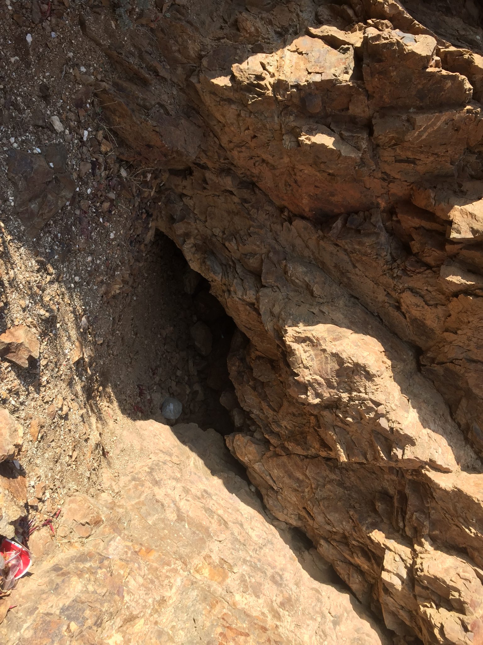
The only open mine is this very small prospect that goes in about 10 feet.
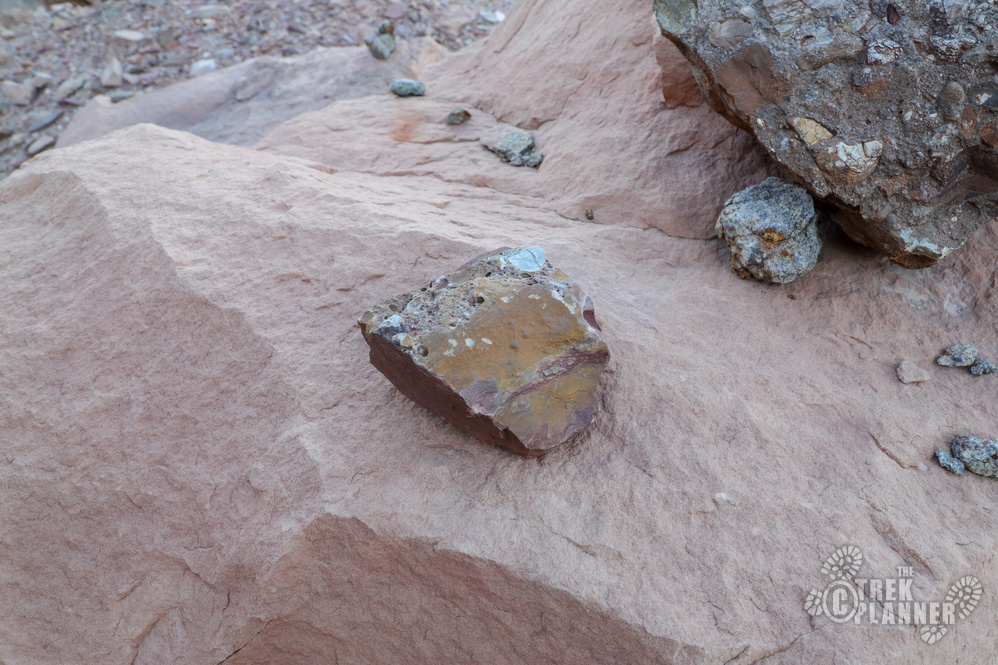
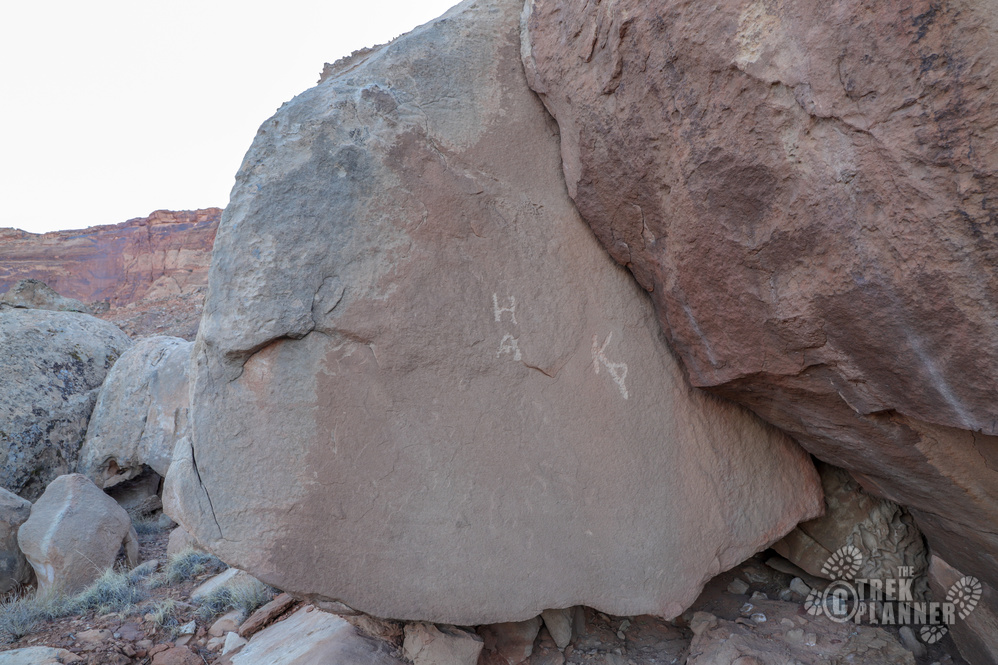
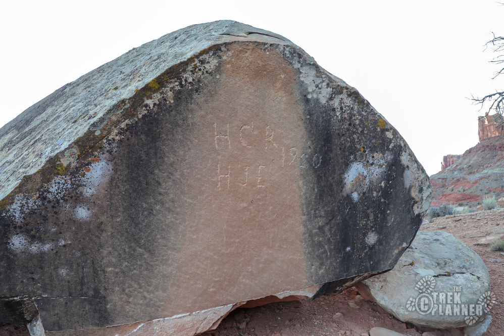
Just below the last mine I found some inscriptions on a few boulders. Since these mines were “discovered” in 1948, I’m not sure who these people who carved their initials would be. Maybe ranchers or even early prospectors?

Personal Thoughts
I don't usually like to explore uranium mines (closed or open) but these were still neat to check out.

[…] an Insider Member!Click to See Full Trek (Insiders Only) Mines mining Moab Shinarump Mines […]