

The Trek in a snapshot
GPS Coordinates are for Trek Planner Insiders only
This content is locked
(memberships are currently unavailable)

Experience. Discover. Explore.
Follow along on our adventure then go out on your own!


Sego, Utah is a ghost town which was occupied from about 1910 to the 1950s. A man by the name of Henry Ballard found a vein of coal in Sego in 1908 and soon, mining operations were underway. Slowly, buildings were put up and miners were allowed to build cabins and dug outs anywhere they chose in the canyon. At once point, the population was near 500 residents. 800 tons of coal were being mined per day during 1920 and 1947 so you could imagine a busy little community.
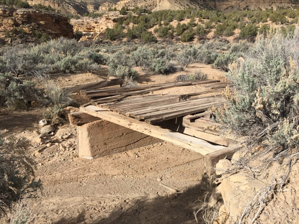
A railroad was even built to connect Thompson Springs and Sego so the coal could more easily be delivered to the Denver and Rio Grande Western track. The train made 9 round trips a month to Sego from Thompson Springs. There are numerous railroad bridges that are still visible today in the canyon.
Eventually, the mining operations weren’t profitable and many people left Sego. The remaining miners still worked the coal until a series of fires destroyed equipment. The final blow to Sego was when the railroad converted to diesel fuel and the demand for coal fuel severely dropped.
There is an underground coal seam fire that is still burning. Apparently, you can still see the smoke from the mine shafts. After exploring around the area, we didn’t see any evidence of smoke.
Sego is named after the Sego Lily Flower.
—————-
Sego Canyon can be accessed just north of Thompson Springs, Utah. You don’t necessarily need a 4×4 vehicle – we drove to it in a sedan.
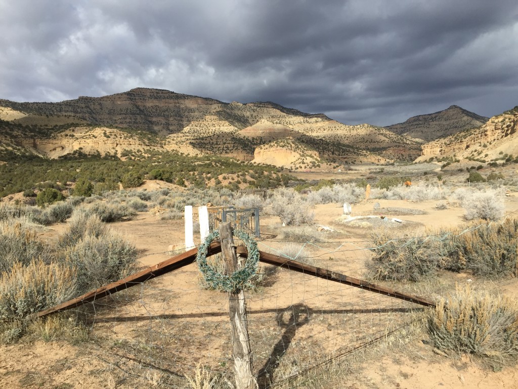
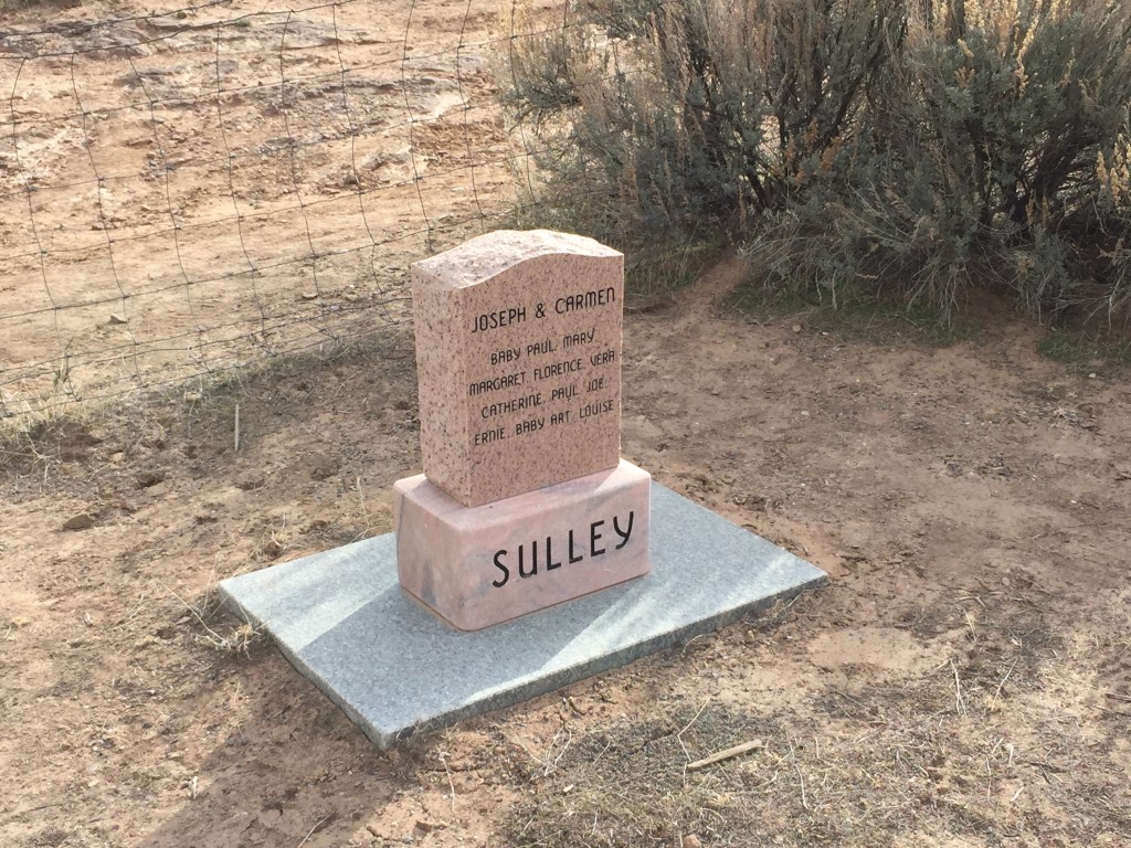
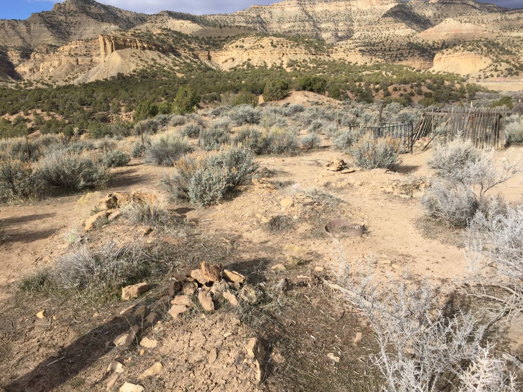
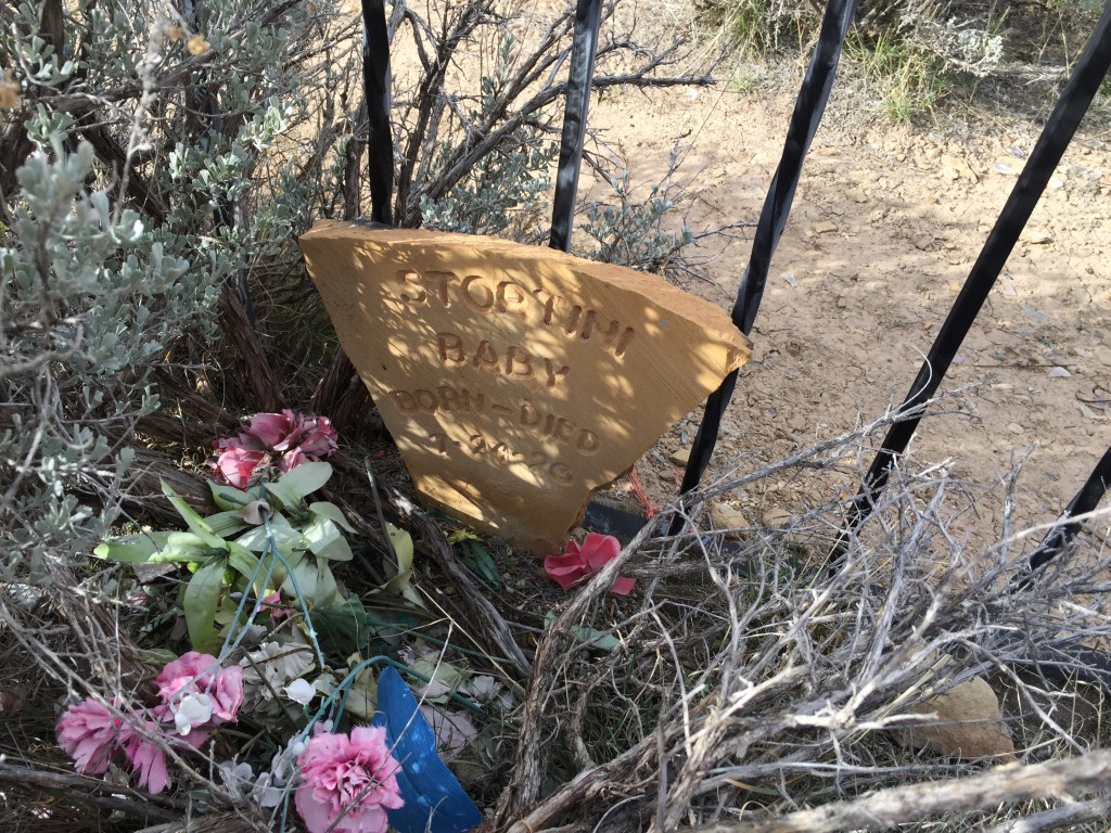
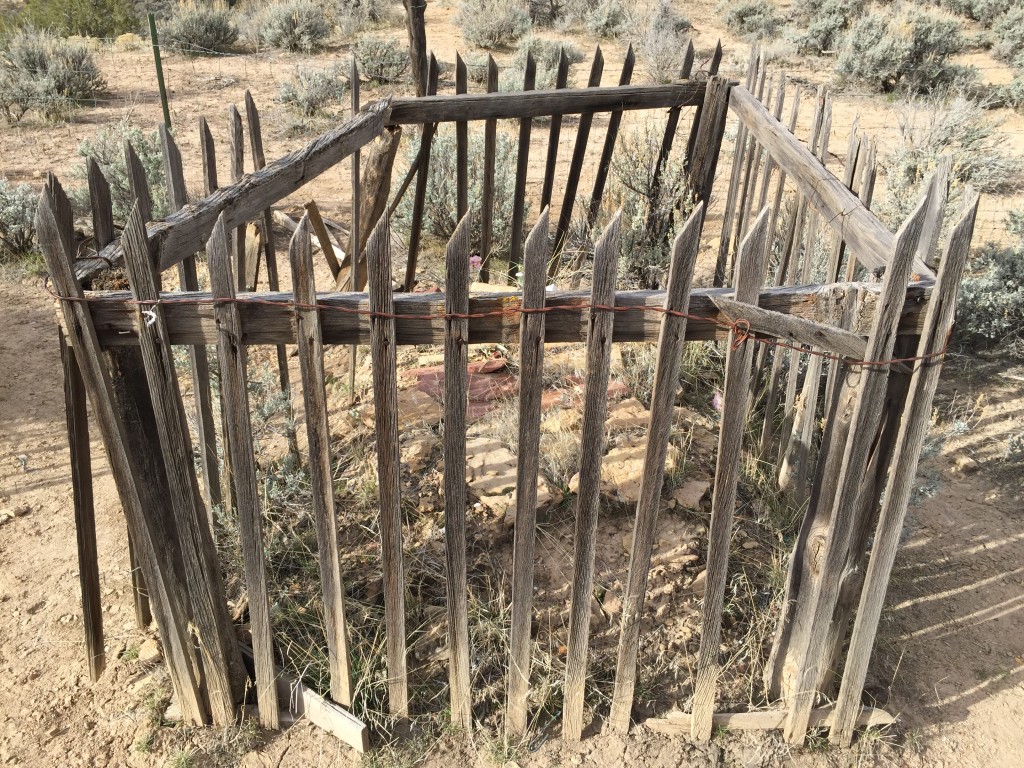
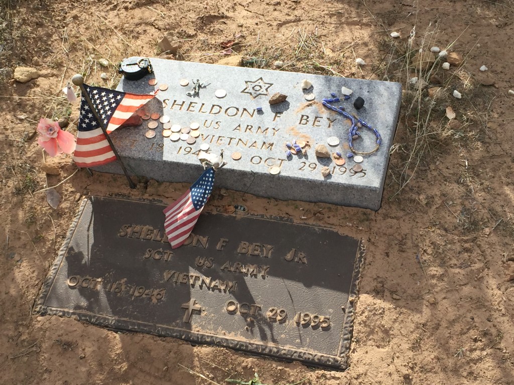
Before you enter Sego canyon, check out the cemetery, old house and the Sego Canyon Gap which are all located right next to each other.
Cemetery
The Cemetery, Sego Canyon Gap and the old family house are all located just before you enter Sego. I’ve always enjoyed checking out the cemeteries in old places. This cemetery in particular seems to have more babies than adults.
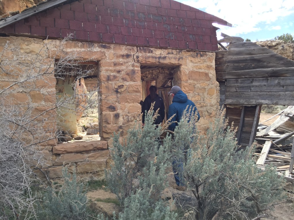
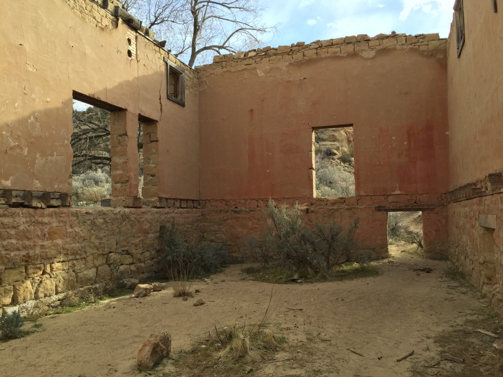
Old Family House
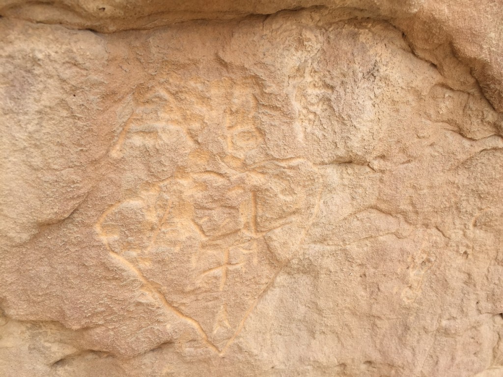
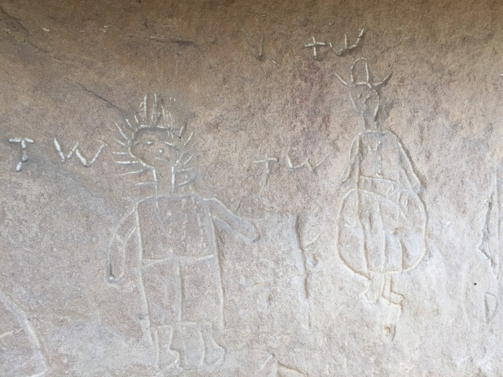
This house is interesting because it has a cellar, a basement and even rock art (probably from the residents that lived here or from more recent times). The house is located just below the cemetery.
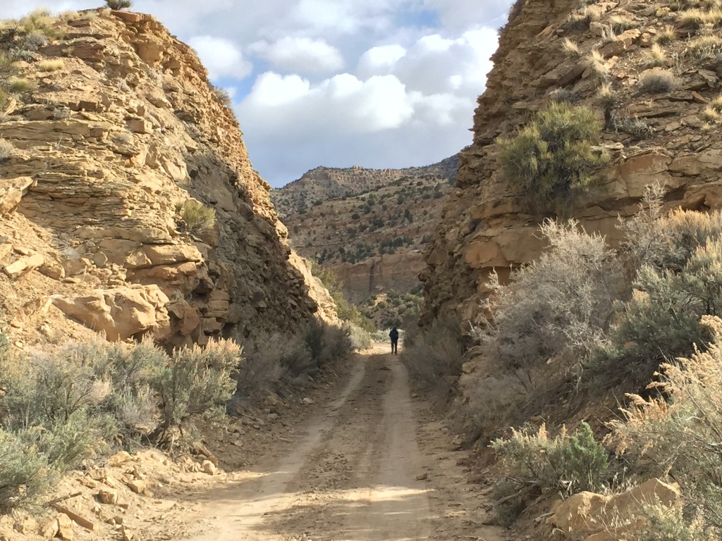
Sego Canyon Gap
This was cut so the train could more easily get through the canyon up to Sego. Just below this on the west side you can still see the remnants of one of the many rail bridges.
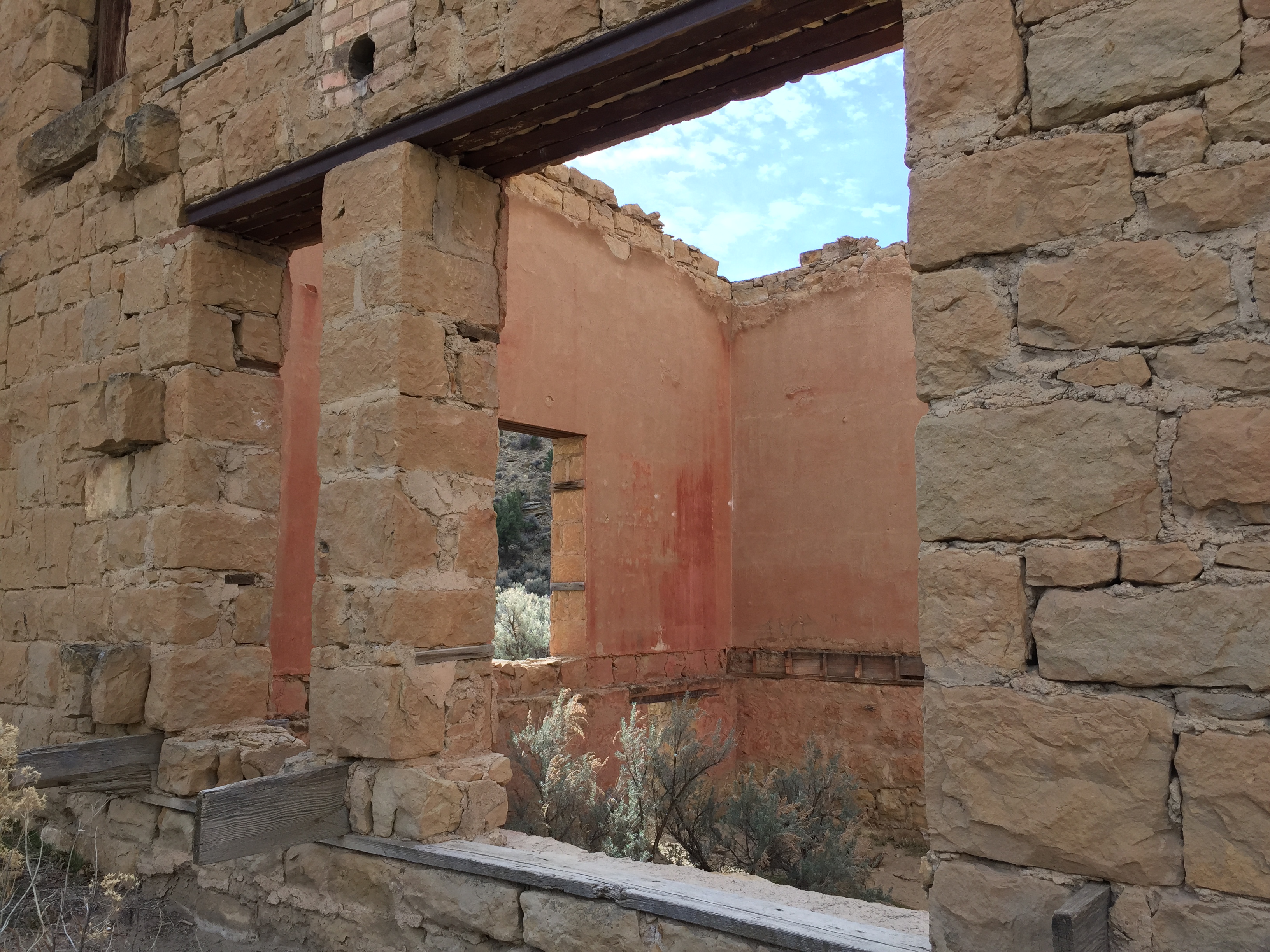
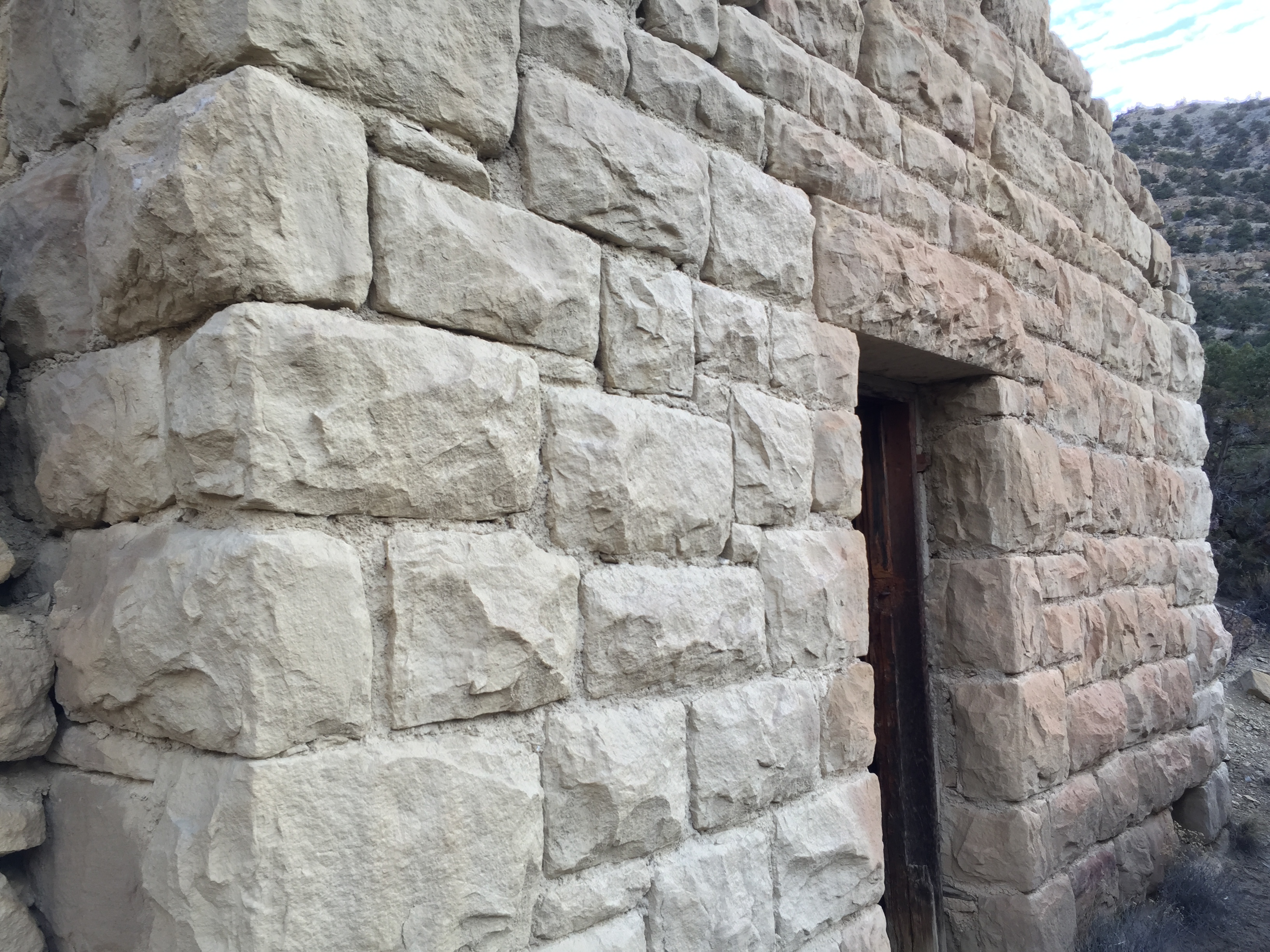
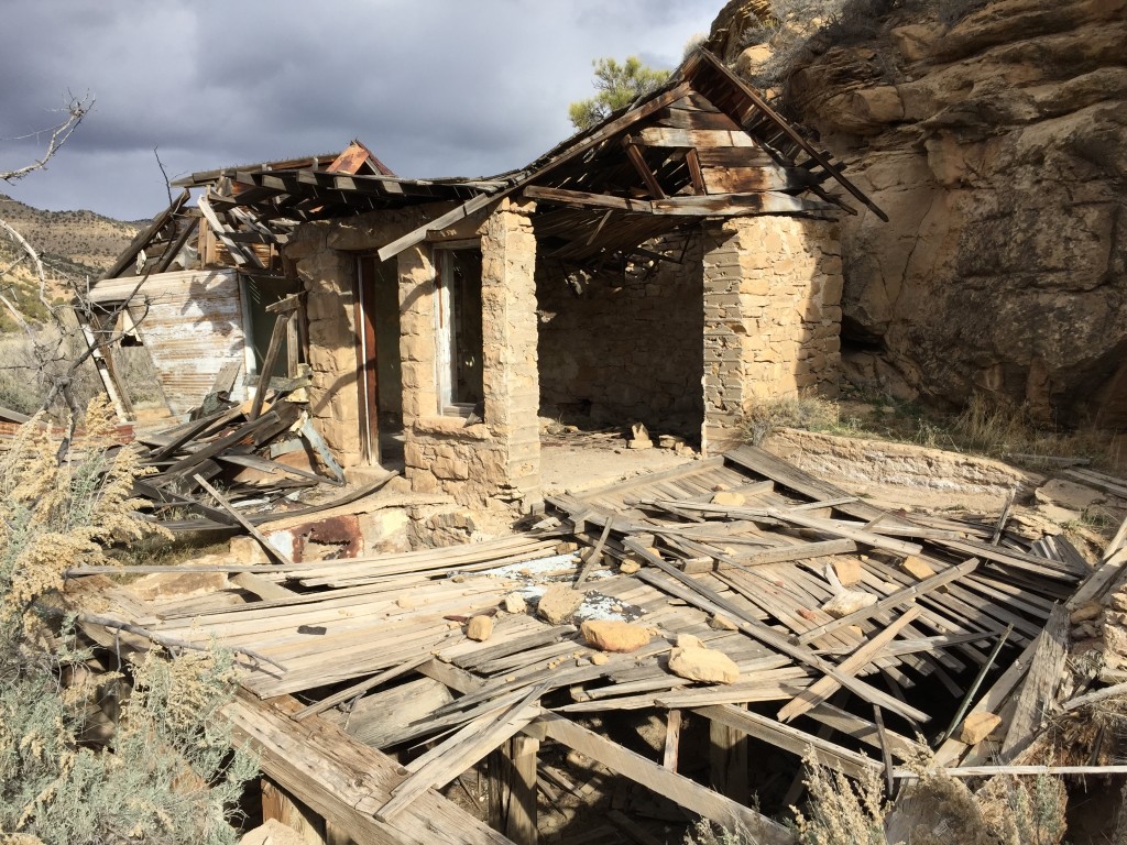
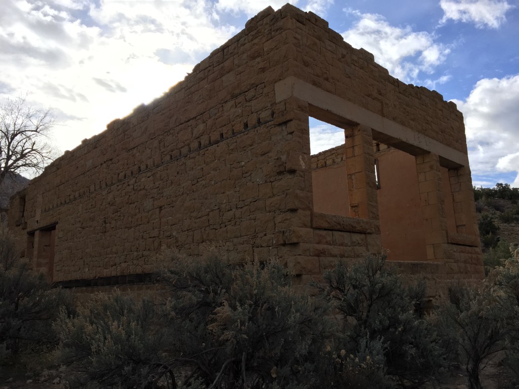
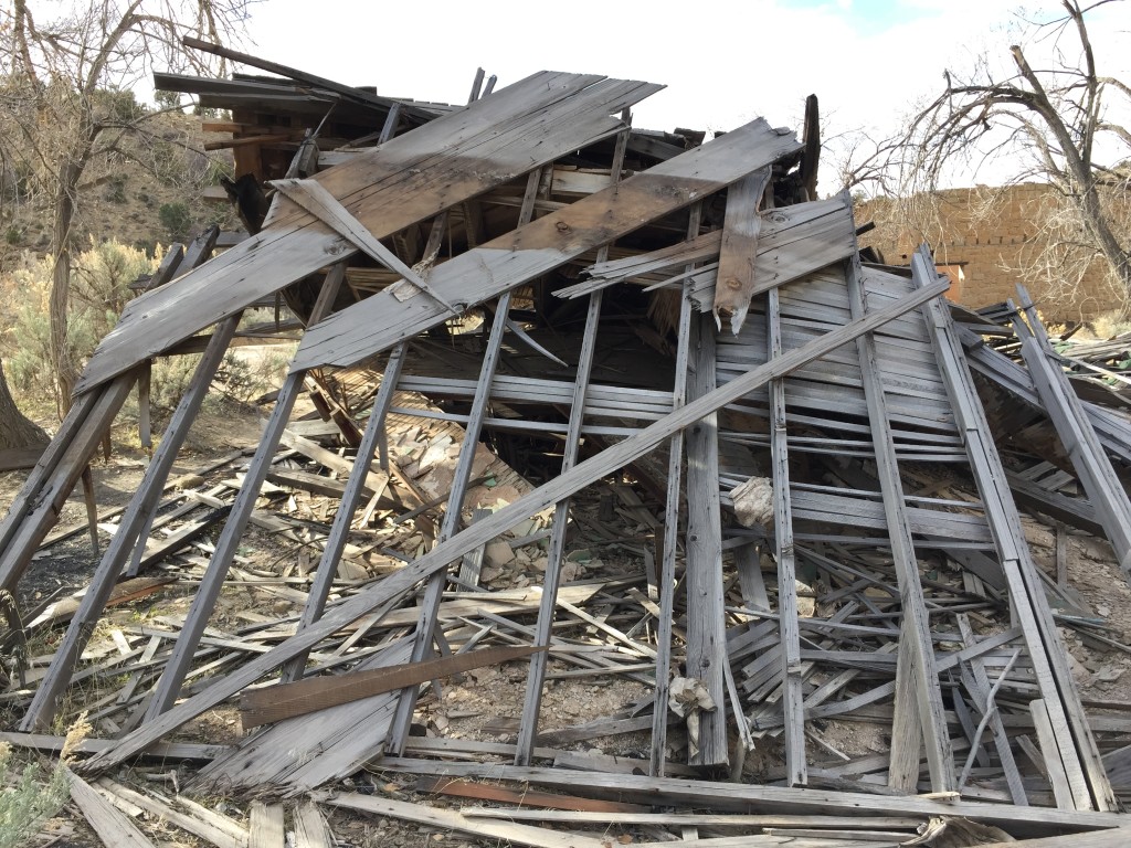
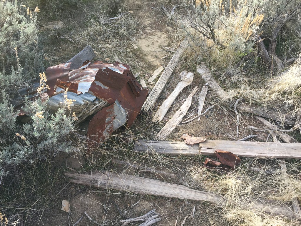
Sego Ghost Town
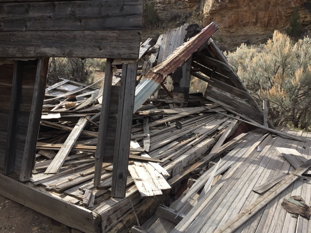
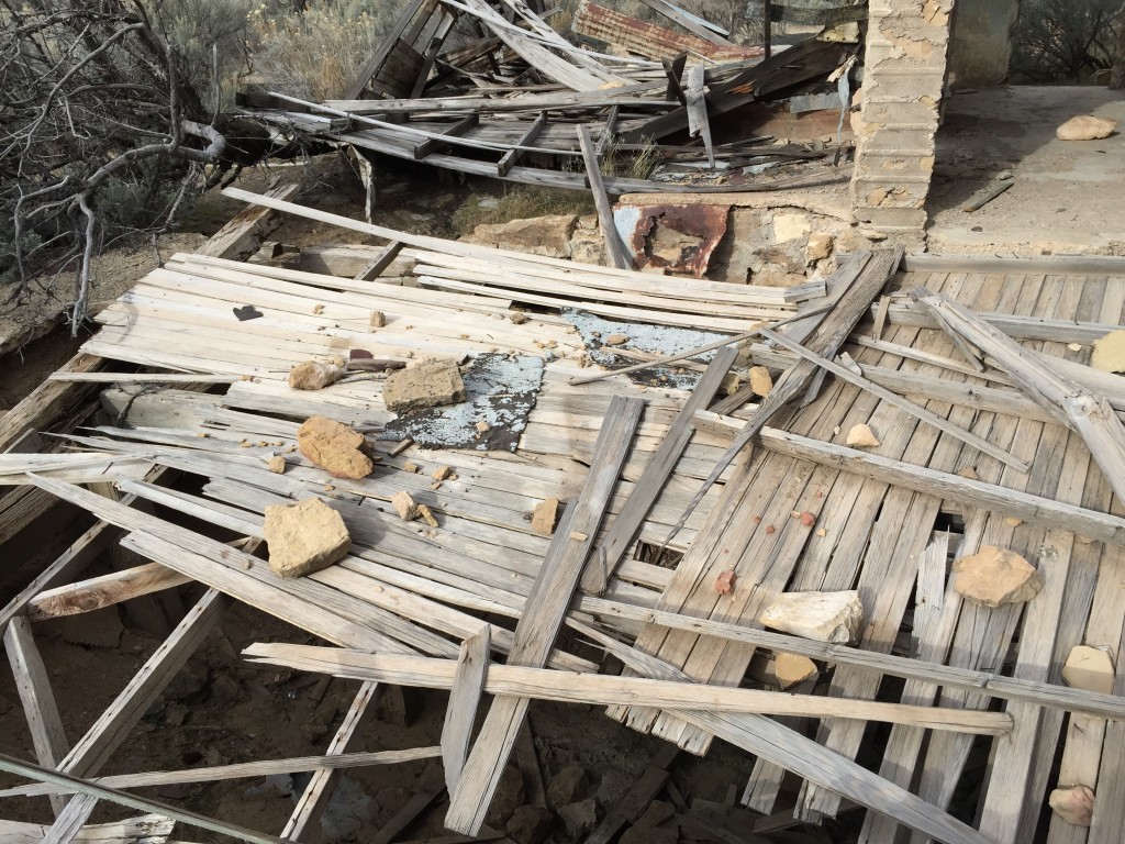
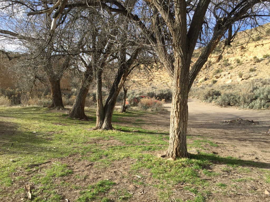
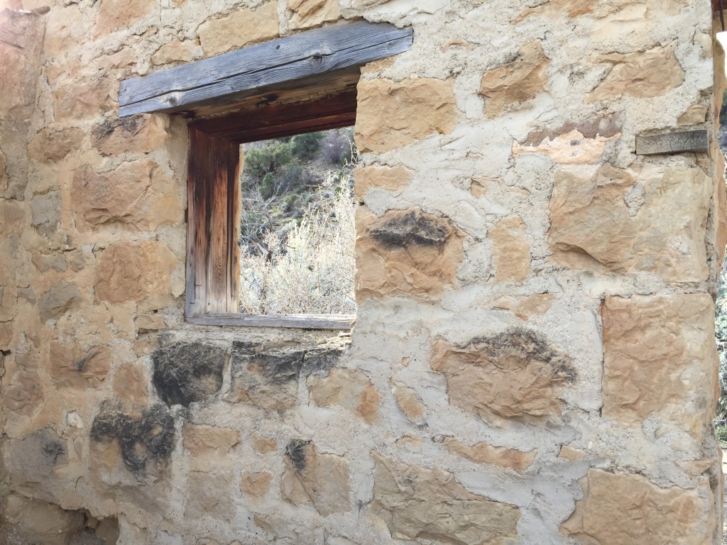
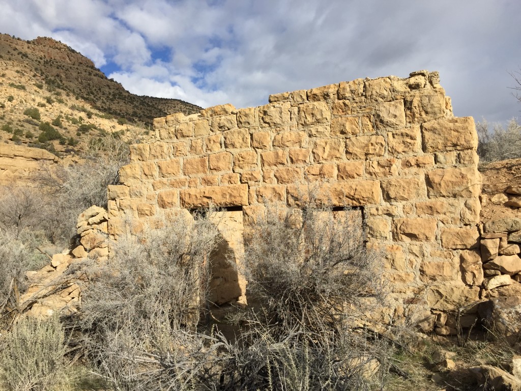
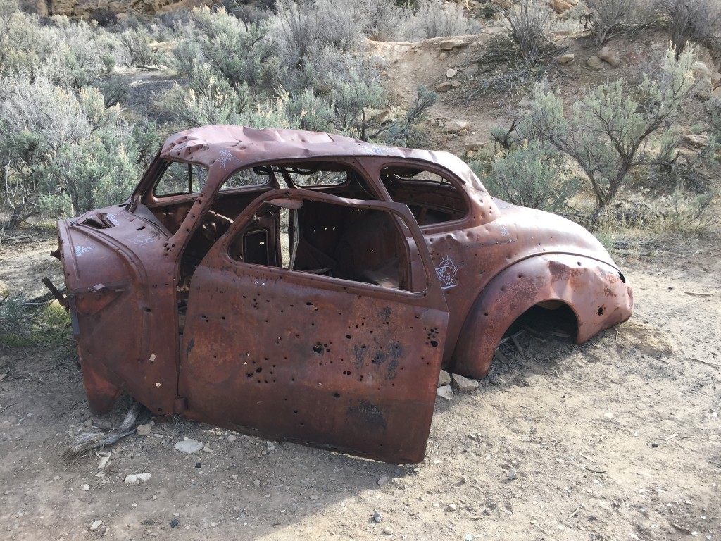
Sego is located up Sego Canyon just a little ways from the cemetery. You will pass several dug outs and old buildings. There are artifacts laying all over the place for you to enjoy. Please do not remove anything from this area. The cool stone house is located up the canyon from the old hotel.


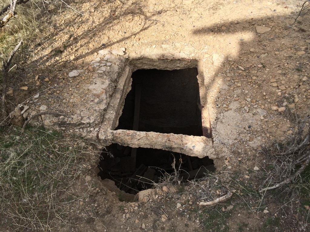
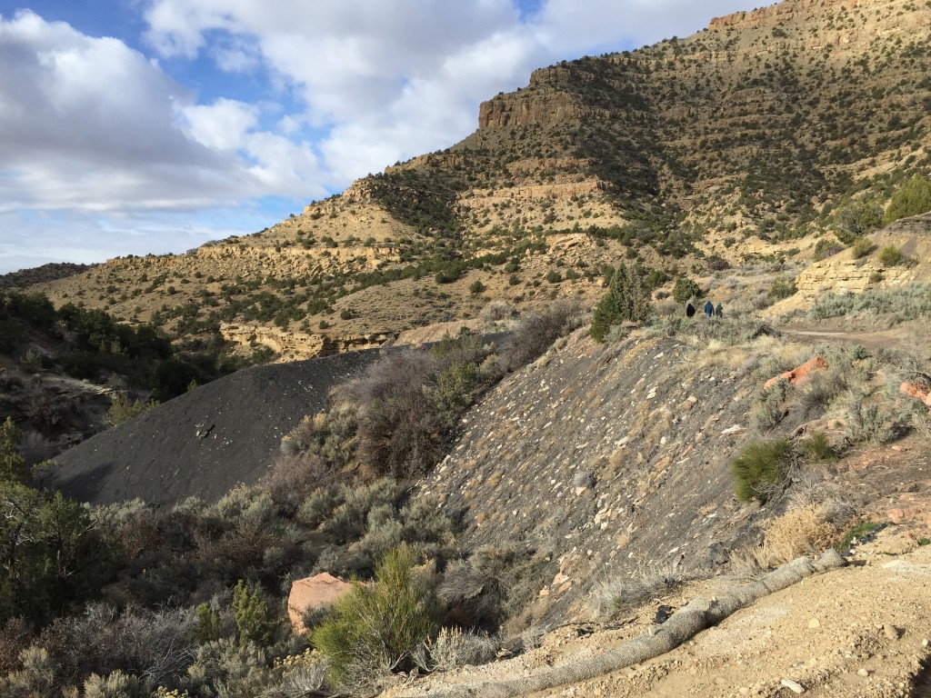
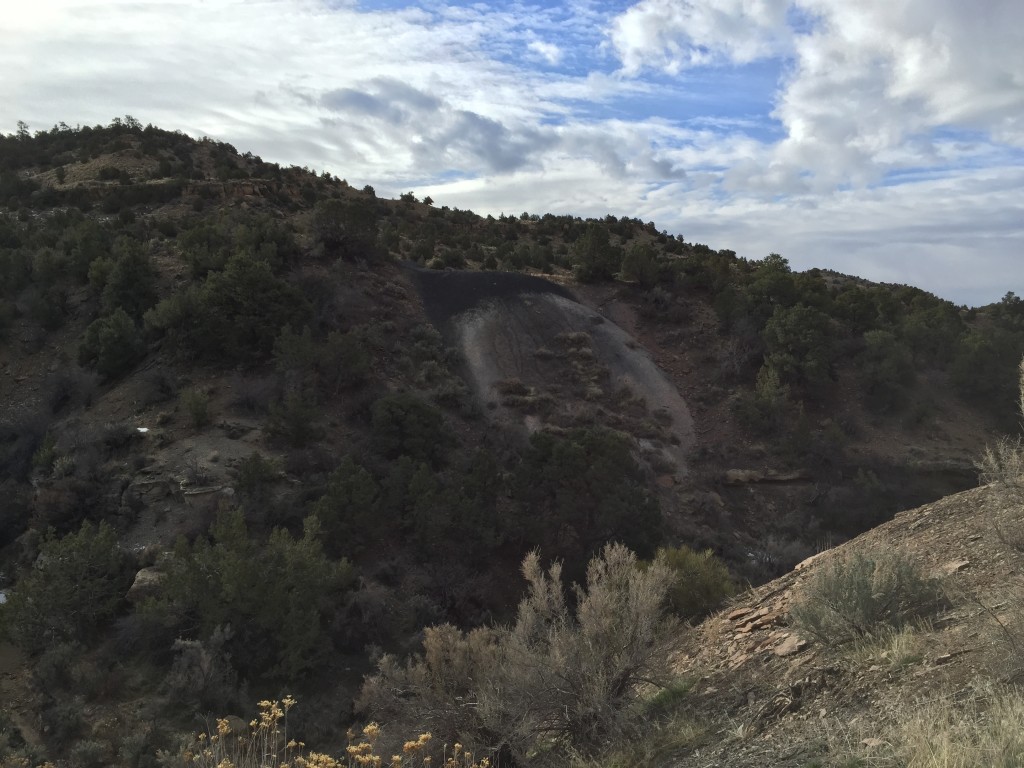
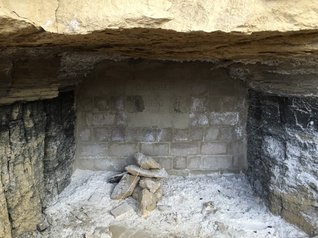
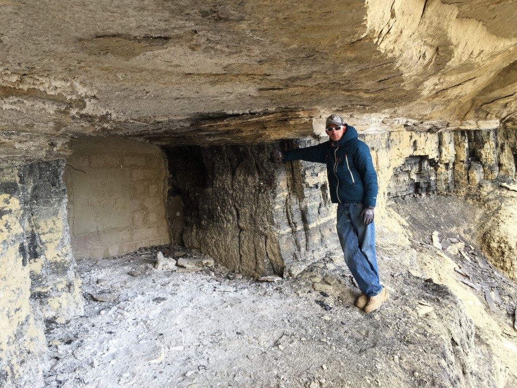
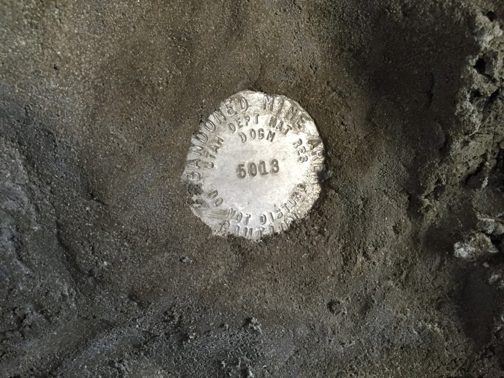
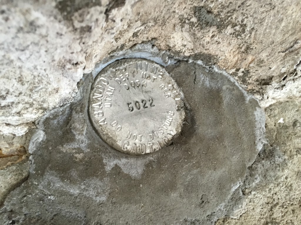
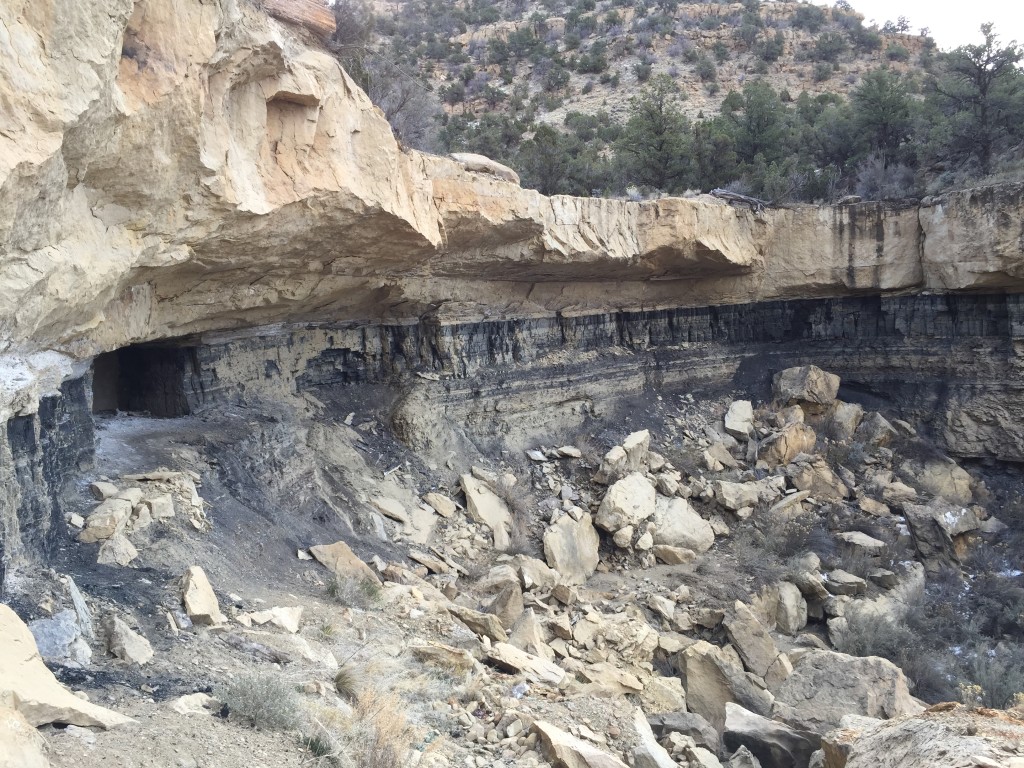
Coal Mine
All of the entrances to the coal mine have been closed. You can still see the large mounds of tailings on both sides of the canyon. The two adits that were sealed by the DWR are at the back of the small canyon (see GPS Coordinates above for locations).

Personal Thoughts
Sego is a very interesting place that is full of history and cool things to explore. It is located about 15 minutes from Crescent Junction where you head down to Moab so this would be a very fun detour. There are tons of pictographs in the area so be sure to check those out as well.


