
The Trek in a snapshot

Trek Planner Maps
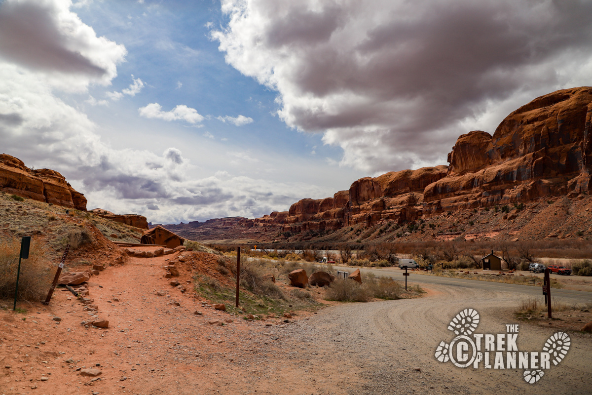
Trailhead: 38.57464, -109.63241
Trail Junction: 38.57763, -109.62744
Pinto Arch: 38.58165, -109.6275

Experience. Discover. Explore.
Follow along on our adventure then go out on your own!


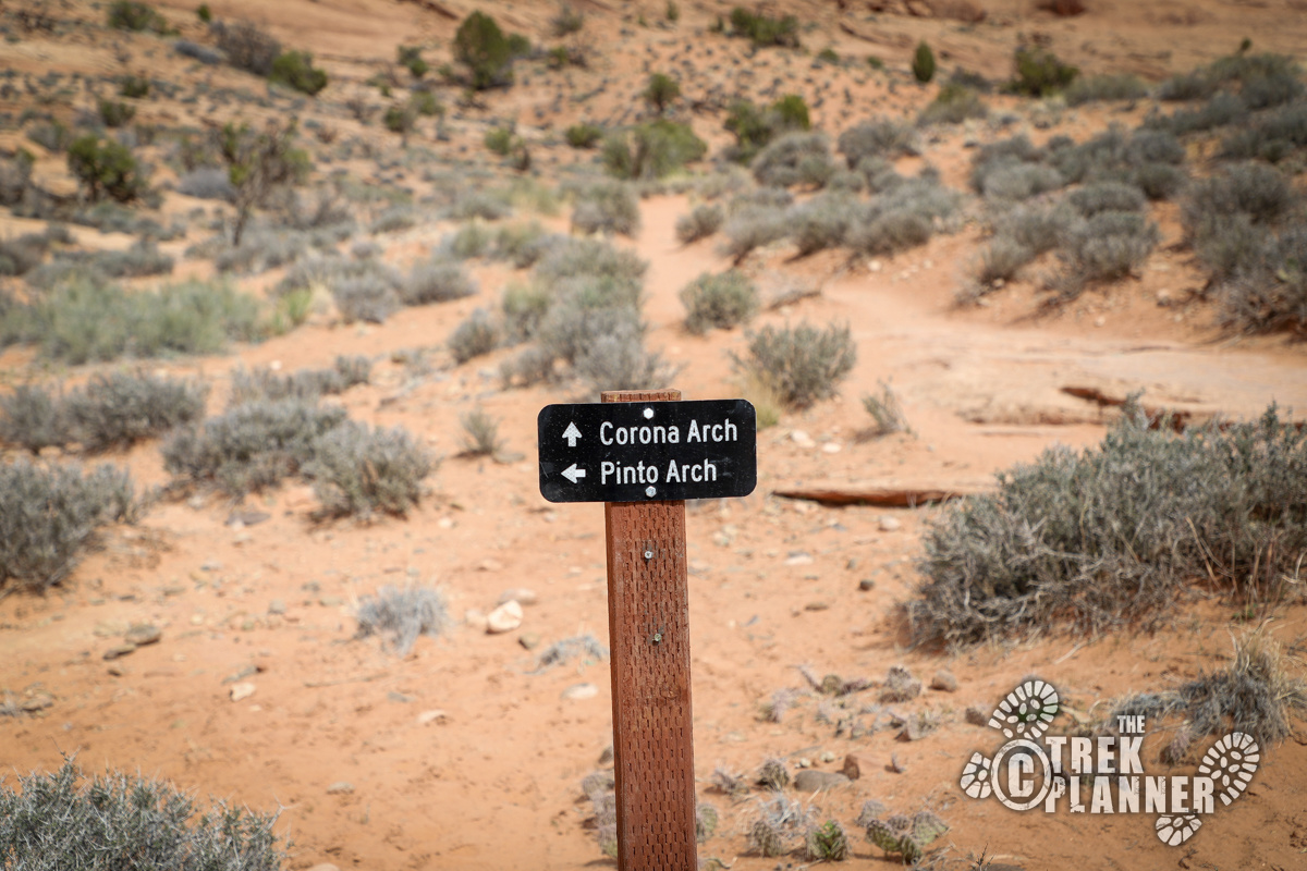
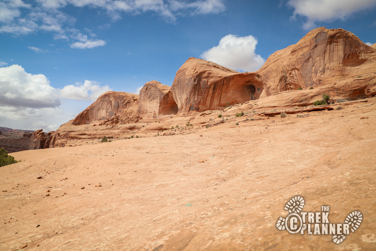
Pinto Arch follows part of the same trail as the Corona Arch Trail. The part that shares with the Corona Arch Trail can be busy and crowded. You will love turning left and leaving the crowds behind as you hike to a great arch that overlooks the valley below.
This is an easy-to-moderately difficult hike and provides a unique experience that not many people do. Most people obviously prefer seeing Corona Arch over Pinto Arch, but Pinto Arch is a good sized arch and worth doing if you have never done it or are looking for more adventures in Moab.
The trail quickly climbs in elevation until you come to a flat area where you will need to cross over some railroad tracks. Look both ways when you cross. The train comes through several times per week carrying pot ash from the pot ash fields farther down the line.
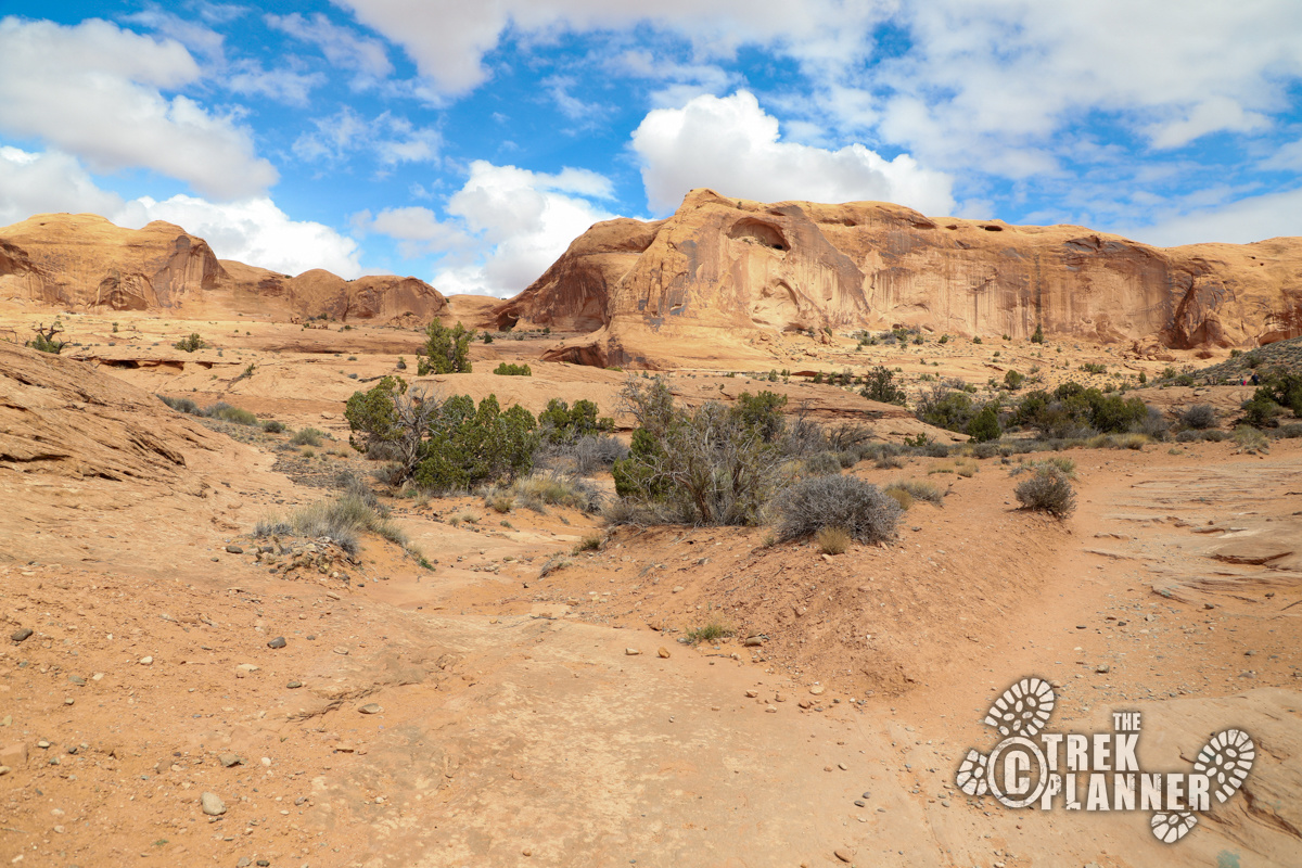
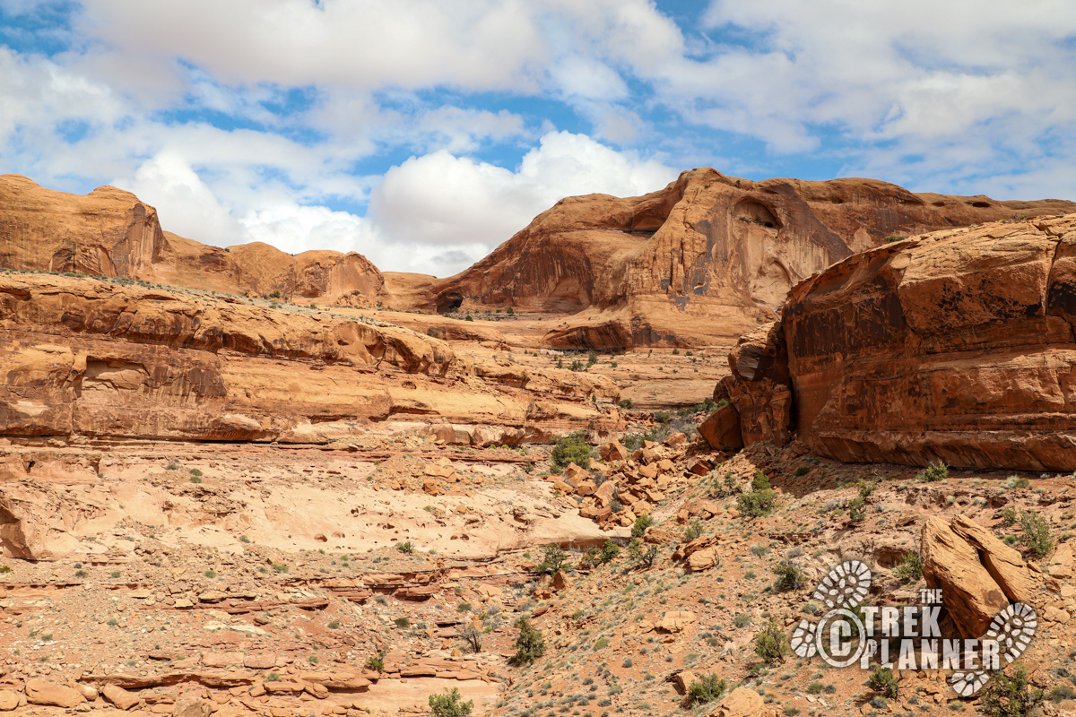
You will then gain a little more elevation until you come to the trail junction. Pay attention as it is easy to miss. There is a sign pointing you left to the Pinto Arch Trail, so take that and continue on! You can see Pinto Arch in the distance from many points along the trail.
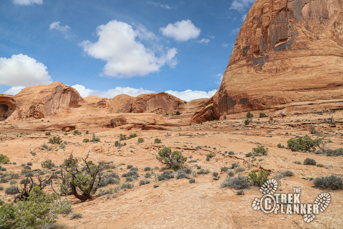
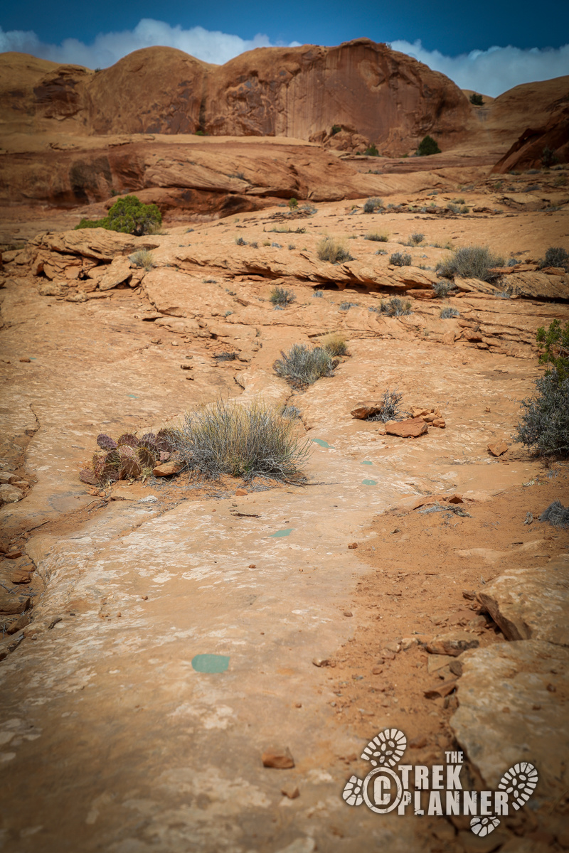
Notice the painted lines on the sandstone for where the trail goes. Follow the lines until you get to the arch. You will steadily gain elevation to Pinto Arch. There aren’t any tricky or really difficult areas along this trail.
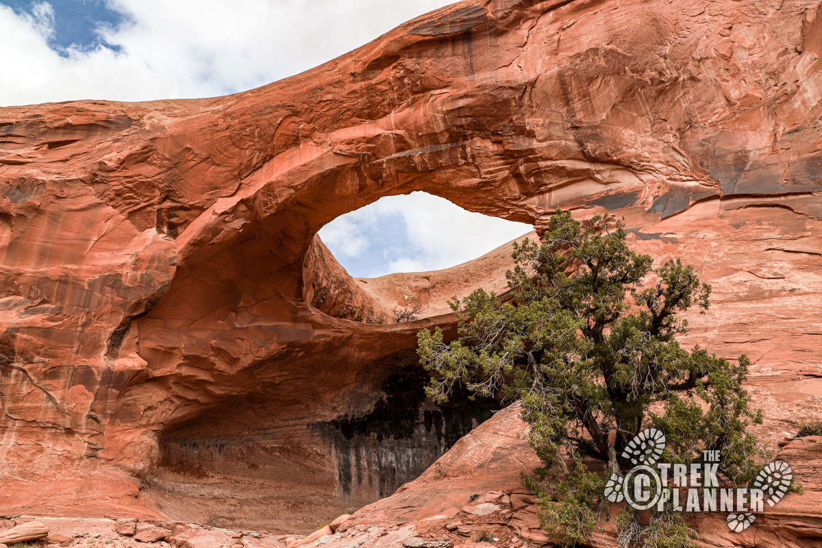
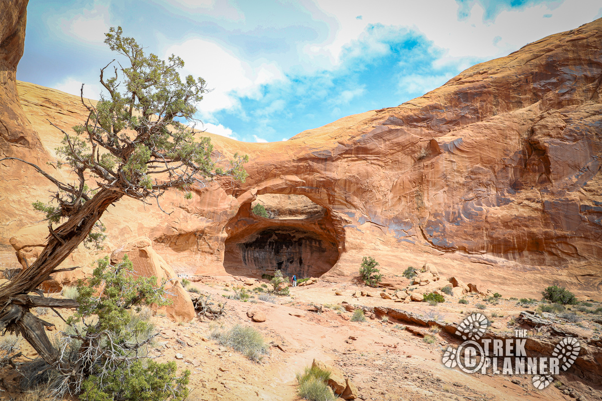
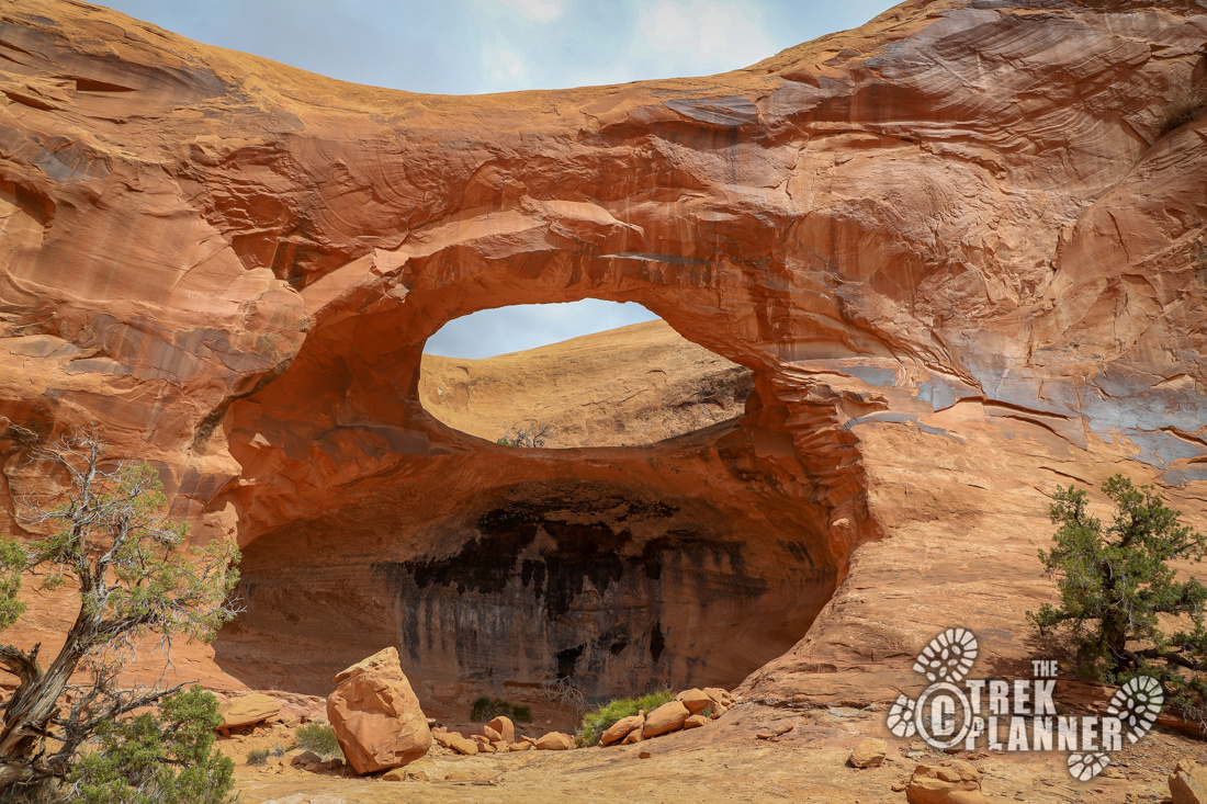
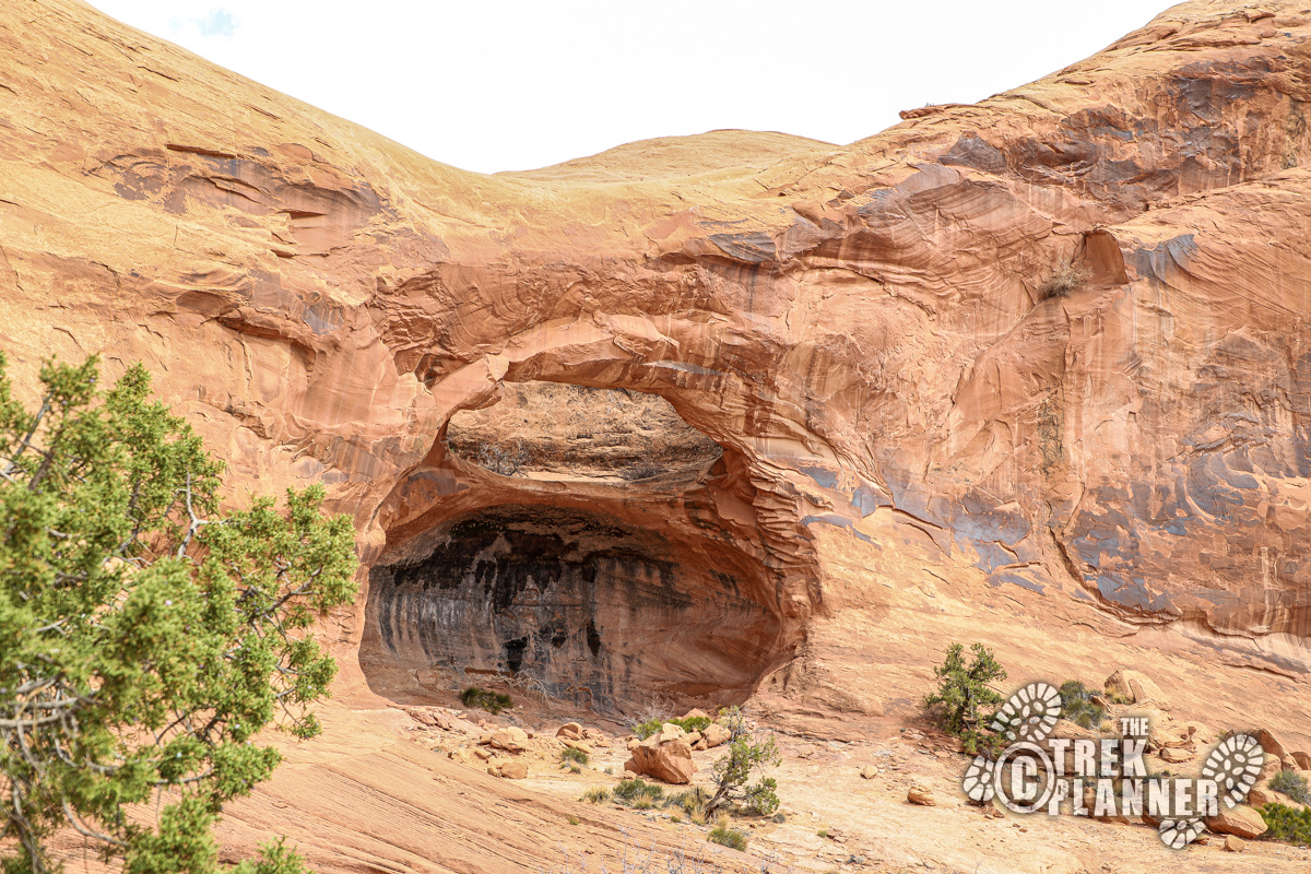
Pinto Arch is tucked away along the cliffs. It’s quite impressive once you get closer to it. I loved flying my drone around the arch and seeing it from different angles. Sadly, some people think they are above the rules and have carved or defaced the rocks near the arch. Please do not carve your name in the rocks.
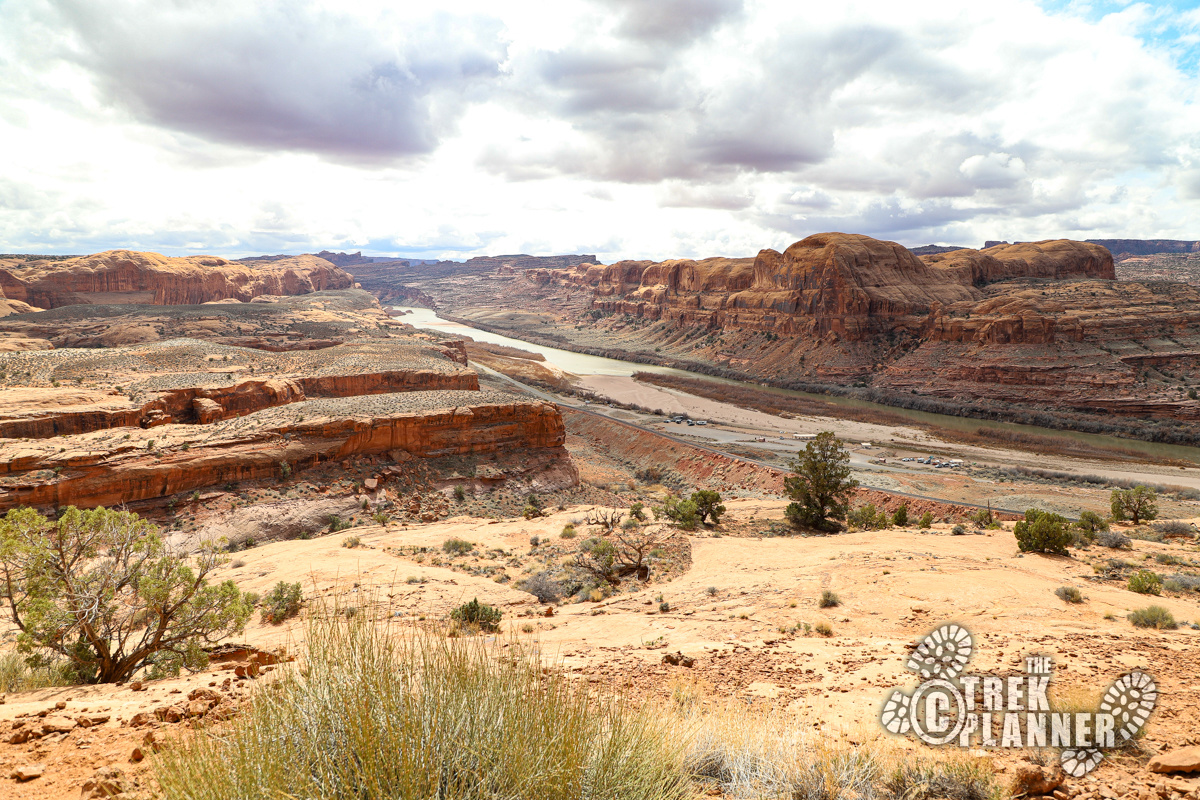
I had the arch all to myself for a good 15 minutes. I had lunch and flew my drone around while I watched the hordes trekking to Corona Arch. Pinto Arch sits up pretty high and you can see everything down below you. I loved sitting here in the sun enjoying the arch and the views.


Personal Thoughts
While hiking to just Pinto Arch might not be worth it to some, I love it! I think it's a great easy hike and one I would consider hiking again. It would be hard to compare this to the much larger Corona Arch, but maybe you could add this hike to extend your stay in the area. Do something different. Hike to Pinto Arch!


