

The Trek in a snapshot
Location
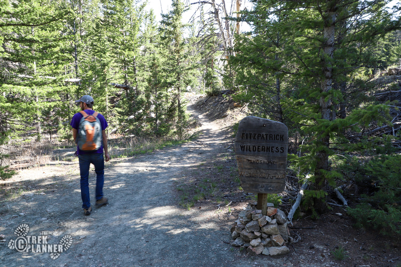
Shoshone National Forest, Dubois, Wyoming
Managing Agency
National Forest Service
Pets
Allowed
Fees
None
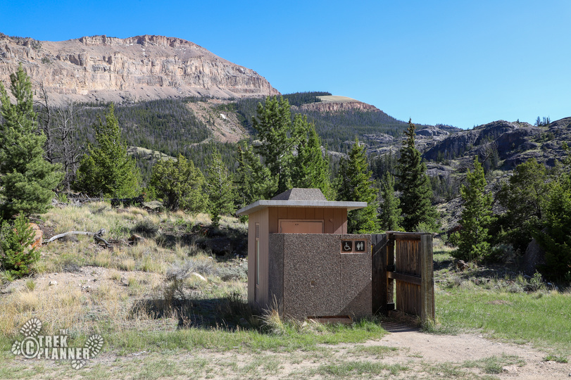
Restrooms
Yes. Pit style located at the trailhead
Camping
Yes. You can camp 200 ft from any trail or road. You are in bear country so you will need to put all items that emit odor (food, toothpaste, deodorant, etc) in a bear proof container and store it away from your camp high up in a tree if possible.
Trail Condition
Good visible dirt trail. Steep in parts
Sights
Waterfalls, Lake Louise
Water Info
Bring 2-3 liters of water
Best Season
late spring, summer, early fall
Distance
5 miles roundtrip
Time Required
3-5 hours
Parking Elevation
7604 ft
Summit Elevation
8618 ft
Elevation Difference
1014 ft

Trek Planner Maps
Trailhead: 43.4254, -109.5738
(Bridge) Waterfall Overlook: 43.4228, -109.57984
Roaring Waterfall Lookout: 43.41328, -109.59771
Lake Louise: 43.41218, -109.60225

Experience. Discover. Explore.
Follow along on our adventure then go out on your own!


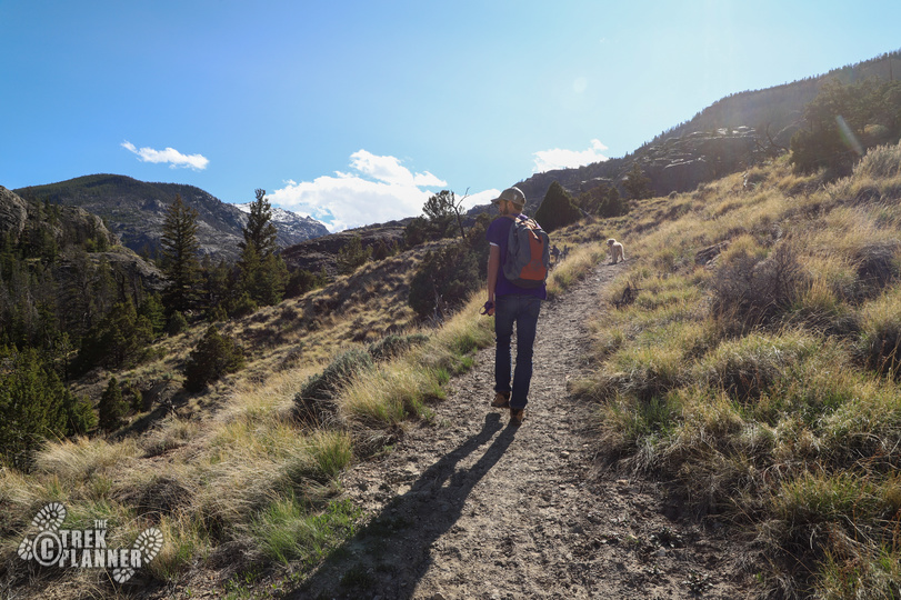
Note: This trail is in bear country so bring bear spray if you feel you need it and make plenty of noise while hiking. We didn’t see any bears but we were still watching the surrounding mountains and hills for any movements.
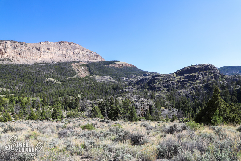
The hike to Lake Louise is an absolutely incredible adventure! I cannot emphasize enough just how amazing this hike is and how you should do just about everything you possibly can to hike here. The locals we spoke to said that this is a hidden gem and one of the top things to see in Western Wyoming – I couldn’t agree more.
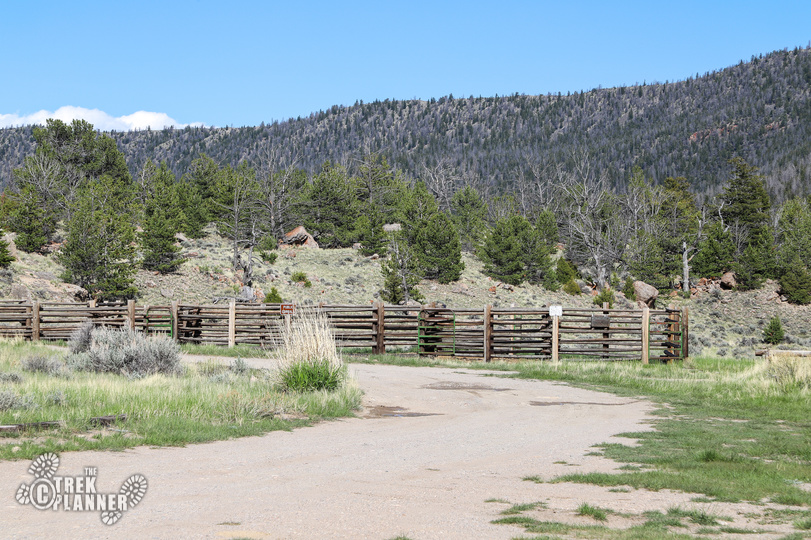
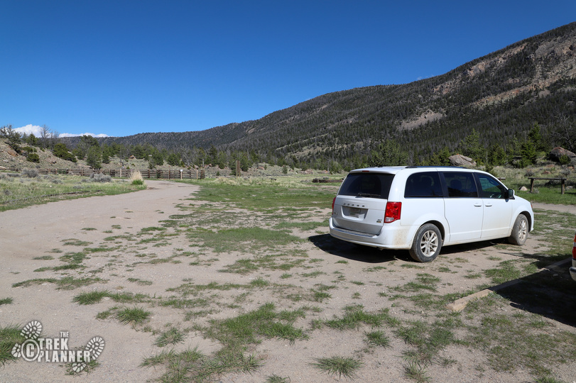
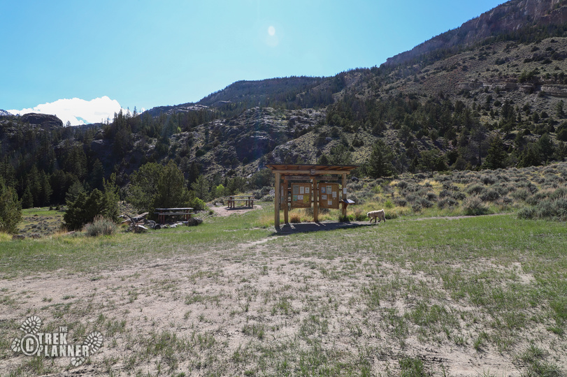
There isn’t much information about this hike at any of the kiosks at the trailhead. You will find only generic information about camping and the wildlife. Good thing we did some research beforehand or we wouldn’t have known this is a moderately difficult hike.
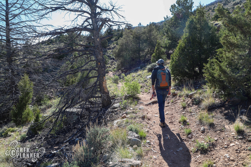
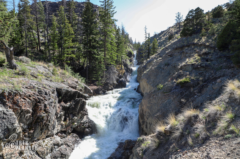
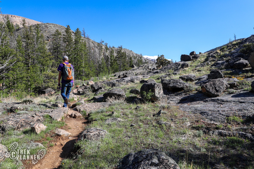
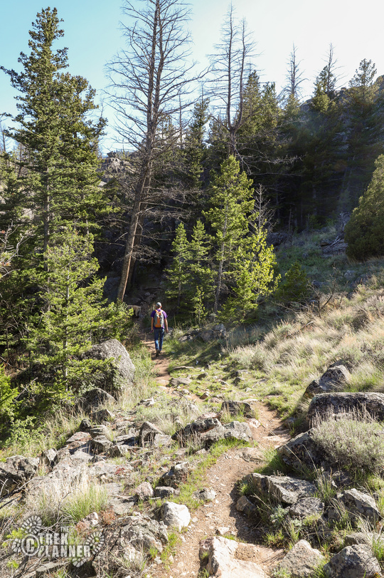
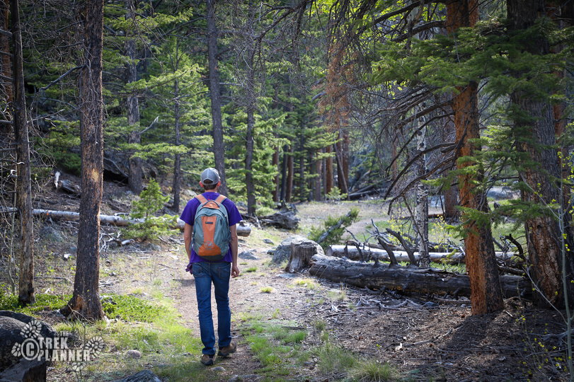
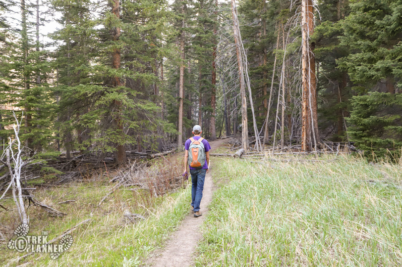
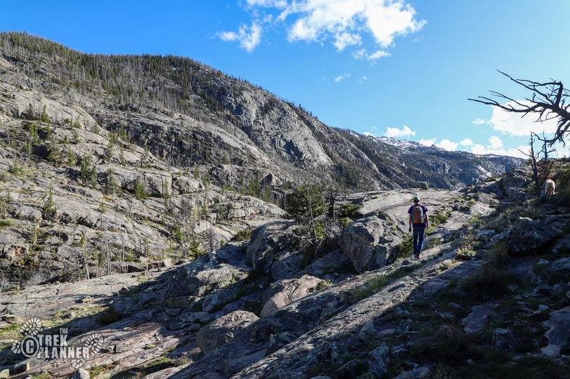
From the trailhead you will probably hear a waterfall in the distance. Don’t worry! I will show you how to get to many of the good waterfall spots! The first 1/2 mile of the trail will wind you through the edges of a forest and have some switchbacks to gain elevation.
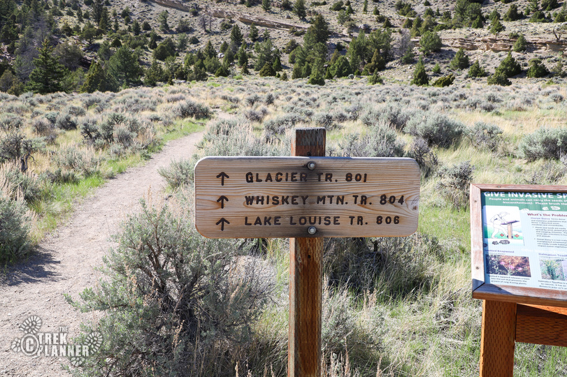
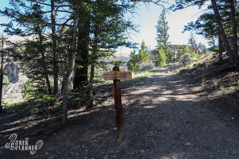
This is also the trailhead for the Glacier Trail and Whiskey Mountain Trail. You will find signs pointing you to Lake Louise so just watch the signs as you hike.
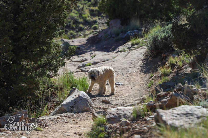
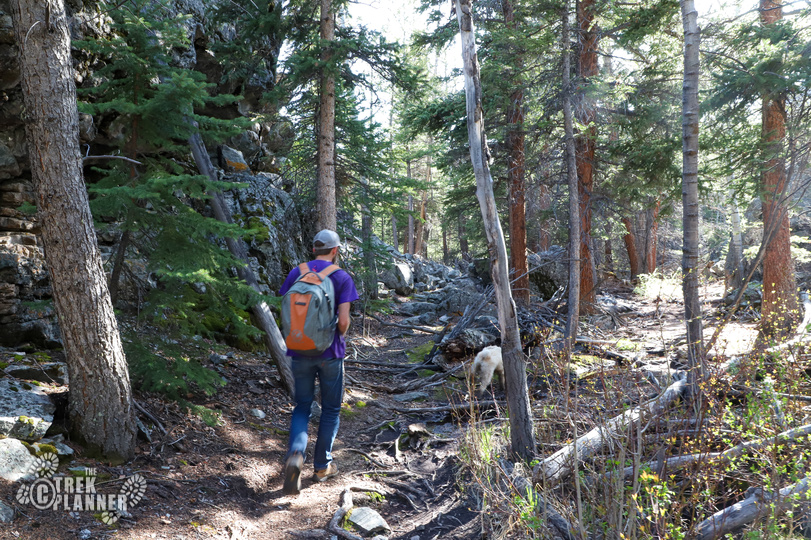
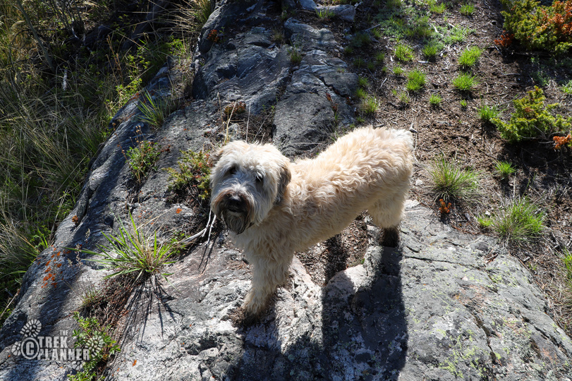
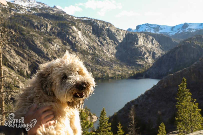
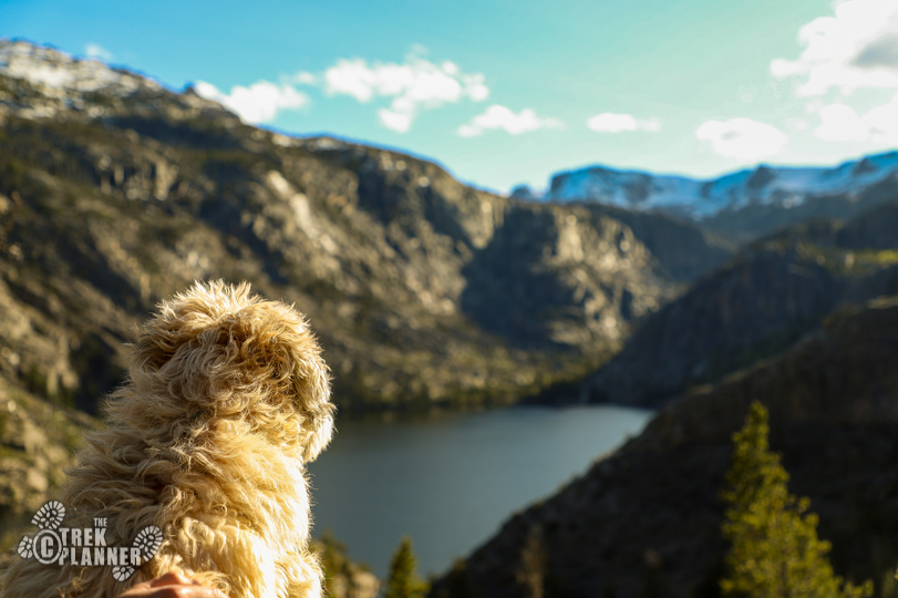
This hike is very dog friendly. Even though my friend has basically a mountain goat pretending to be a dog, she didn’t have any problems on the trail. There are some steep spots that you will need to pay more attention to where your dog is but overall they would love the hike too!

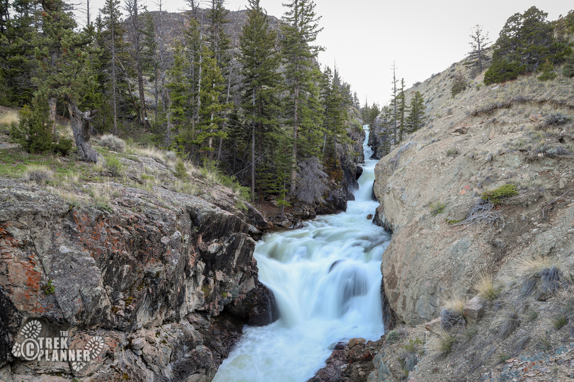
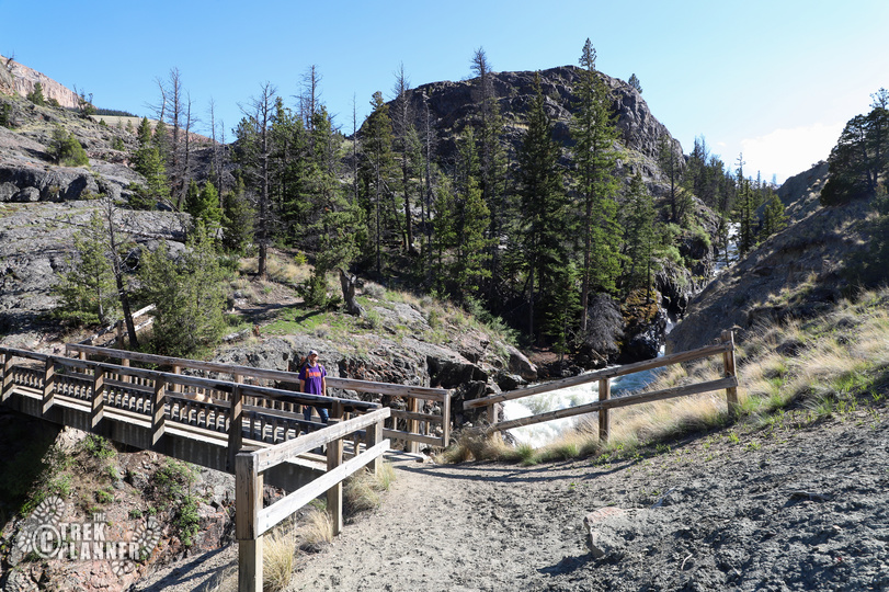
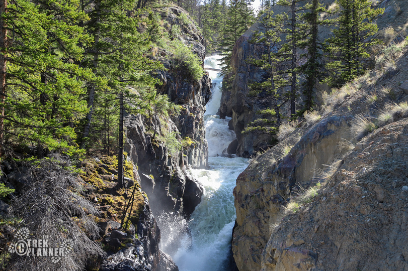
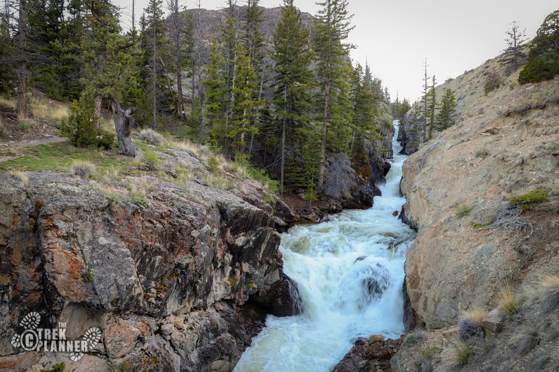
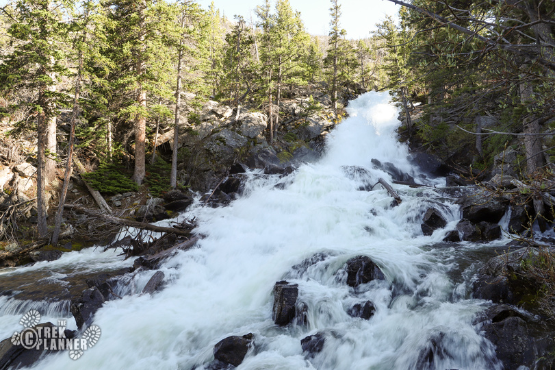
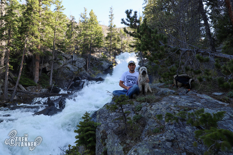
At about .65 miles you will come to a sign that points left to the Glacier Trail or straight to continue on to Lake Louise. It is worth the 5 minute detour to take the left trail for a few hundred feet until you see a wooden bridge that crosses Torrey Creek. This is the first major falls area that you will see and it’s one of the better spots to view the creek too!
After you get all the pictures you want, go back to the sign and continue hiking to Lake Louise.
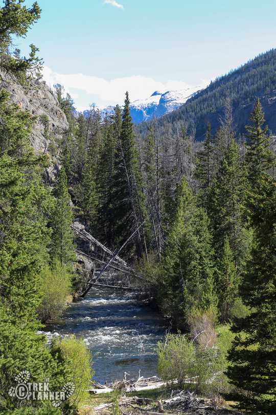
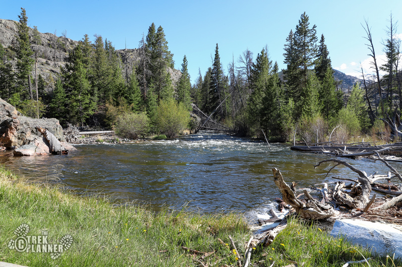
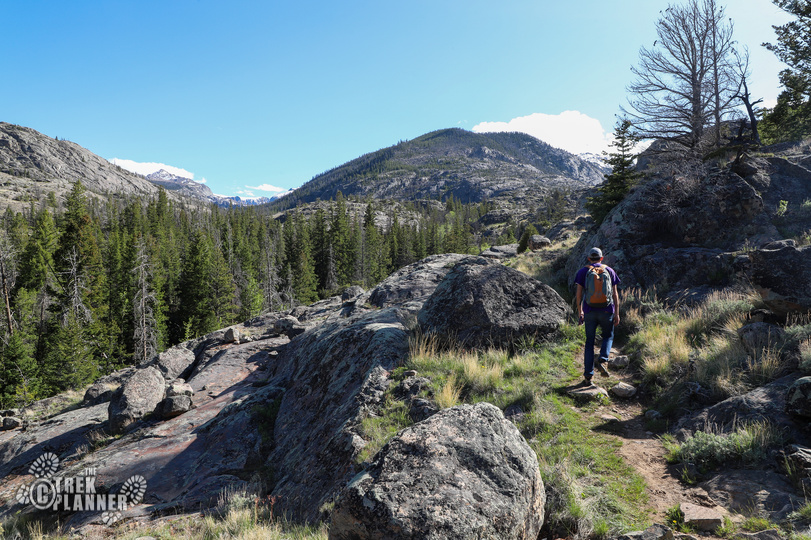
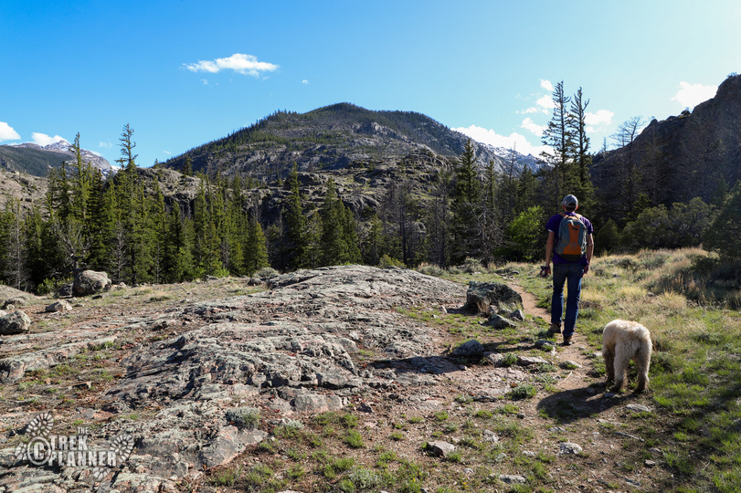
The trail will continue to go near the falls until you come to a grassy meadow at about the 1 mile marker.
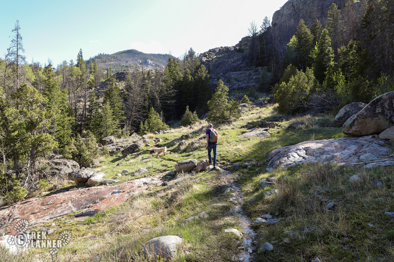
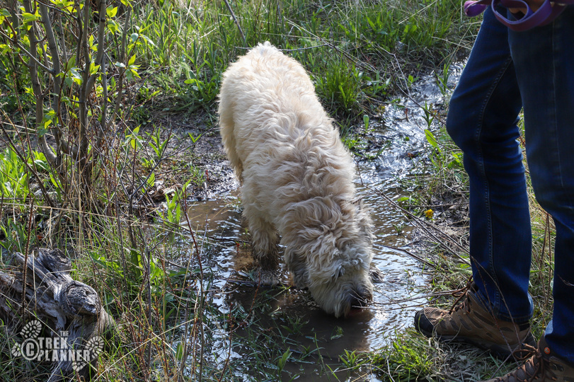
We walked up to the river so Maggie (my friend’s dog) could get a drink. This was also a good stop for us to eat some snacks.
This portion is for Trek Planner Insiders only
(memberships are currently unavailable)This content is locked
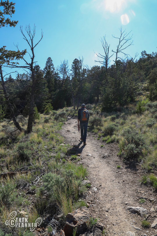
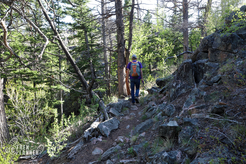
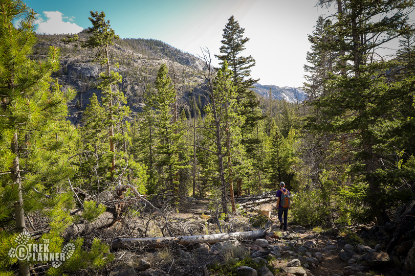
Next, you will go through a small grove of trees and then hike on some rocks for almost another mile. You will be rewarded with more amazing scenery all along the way! Pretty much the entire hike is one amazing view of the towering mountains nearby!
With all the spring runoff, the trail was sometimes wet. It wasn’t bad but it got slippery in some spots.
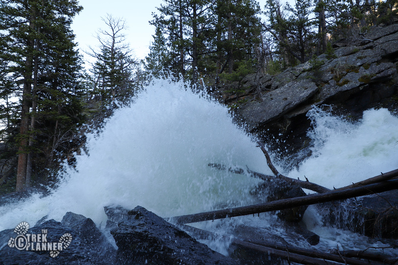
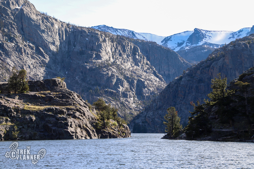
At about the 2.18 mile marker you will walk near Torrey Creek again. The creek is very steep at this point too. When we hiked this in the middle of June there was so much water and it was so powerful that it was hitting boulders in the creek bed and sending water 15 feet in the air!
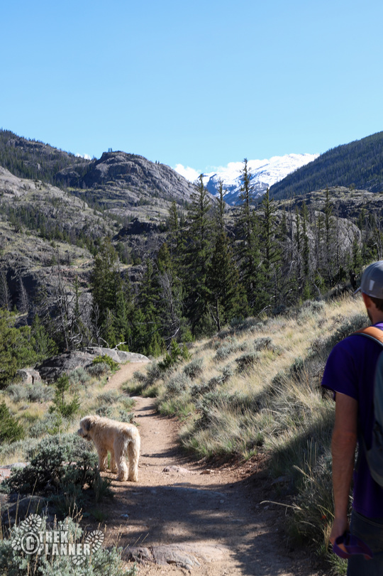
From here the trail will gain about 250 ft until you can see Lake Louise. The trail is steep and goes on top of more rocks. Hikers we passed earlier said that this part was tricky due to the trail being hard to find. We didn’t have any troubles finding the trail and if you do all you need is follow the creek up to Lake Louise. You can always download my map in Google maps too if you’d like.
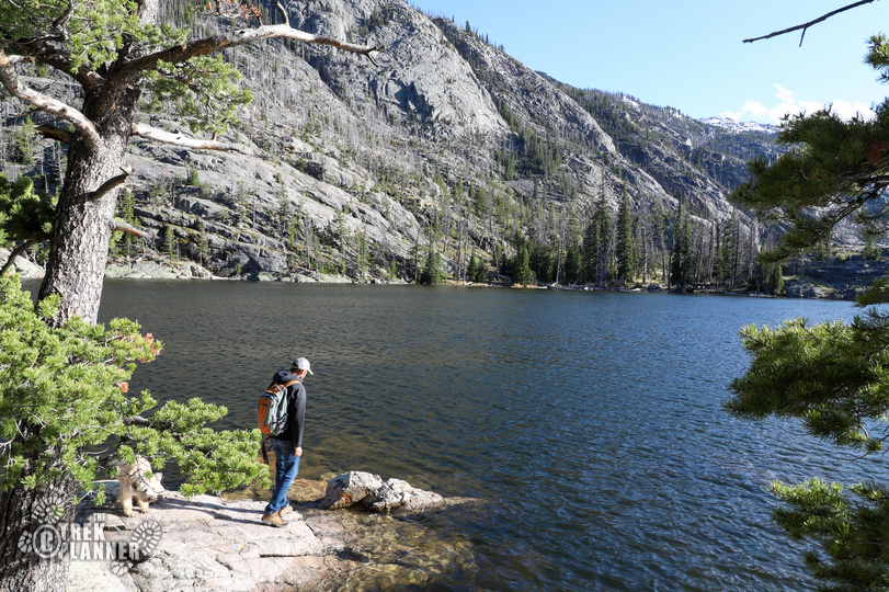
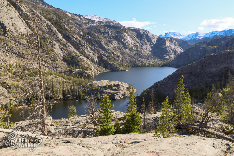
Once you get to the top of the crest you will see again why this hike is so incredible! A large beautiful lake circled by sharp mountains lays before you. It’s possible to get to the shore but the steep cliffs come straight out of the water so there aren’t many places to physically touch the water.
We saw some fish jump on the clear lake surface. We thought they were probably some type of trout.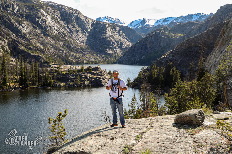
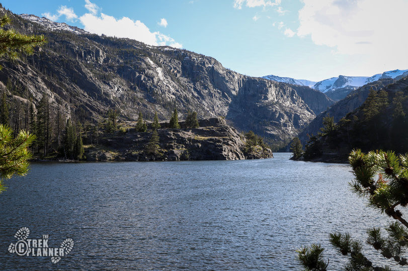
We hiked a little bit above this to get a better view of the whole lake. You can see that there is a very narrow opening that connects the lake together. The lake goes all the way to the back of the valley and the creek continues on up until the glaciers many miles behind the mountains.

Personal Thoughts
The hike to Lake Louise was the highlight of my trip. It wasn't crowded at all but I'm sure in the middle of summer it can get more visitors. You need to make a stop in Dubois just to be able to hike to Lake Louise!


I made my first visit to Lake Louse about 60 years ago and camped and fished there many times. The same trailhead will also lead you over Whiskey Mountain to Ross Lake another great spot. I once witnessed a massive avalanche that fell into Hidden Lake which is between Louise and Ross.