Hanging Rock Arch Echo Canyon, Utah

Hanging Rock Arch – Echo Canyon, Utah


The Trek Details

The Trek in a snapshot

Location: Near Emory, Utah
Managing Agency: Private ownership
Pets: Allowed
Fees: None
Restrooms: None
Camping: Not allowed
Trail Condition: Trail is about 15 yards in length
Distance: A 100 feet roundtrip is all if you want to hike up to the fence. You can see it from your car
Time Required: 5 minutes
Sights: Hanging Rock Arch
Best Season: All
Water Info: Bring a bottle of water if needed
Parking Elevation: 5929 ft
Summit Elevation: 5965 ft
Elevation Difference: 36 ft
Trek Planner Maps

Trail Map

GPS Coordinates

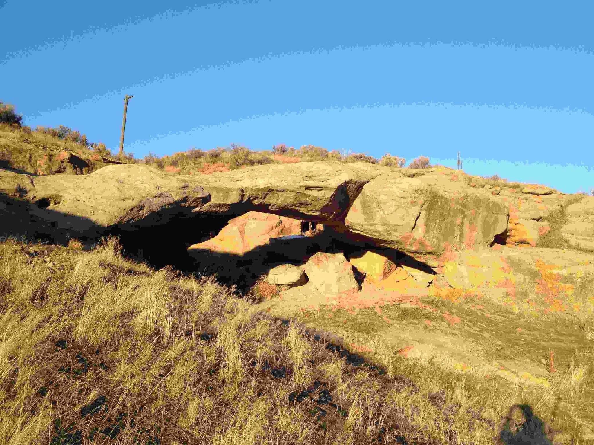
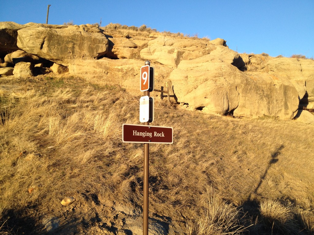
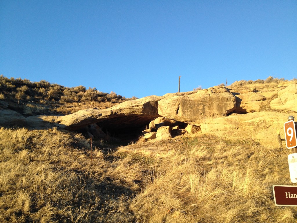
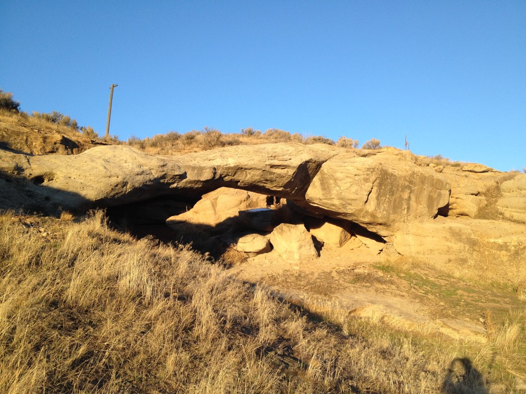
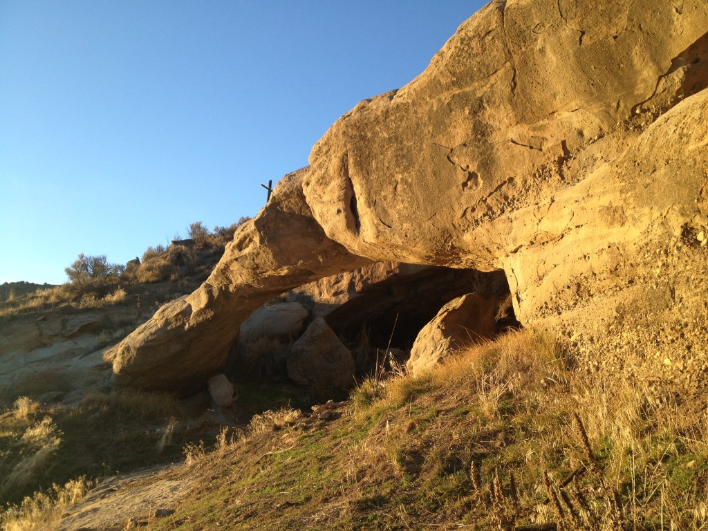
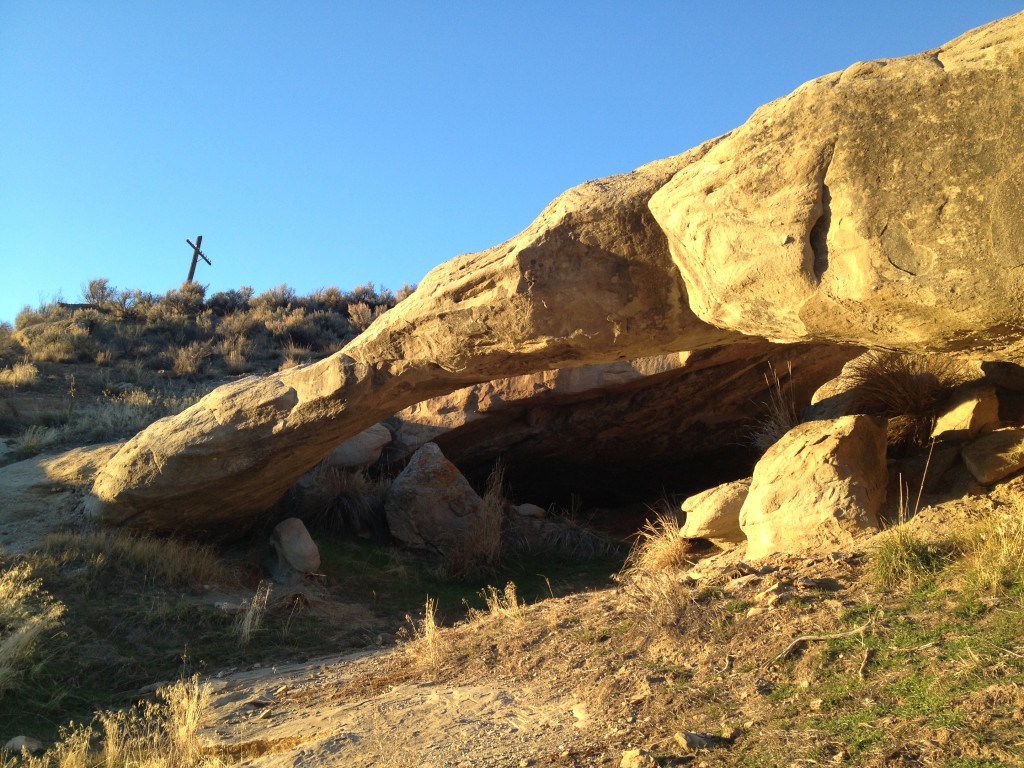
Hanging Rock Arch: 41° 2.779’N, 111° 18.595’W

Experience. Discover. Explore.

The Trail

Follow along on our adventure then go out on your own!

Be a responsible explorer


There is a sign right on the road that tells you what this arch is called.

You can see the arch from the highway but if you want a closer look you will need to go on Echo Canyon Road.

There really isn’t a trail for this trek as the Hanging Rock Arch is right next to the road.

It is located on private property so you aren’t allowed to go up to it.

This is a unique formation that spans about 25 feet across from end to end and looks sturdy

Hanging Rock Arch


Hanging Rock Arch

Hanging Rock Arch

Some folks call this Echo Arch because it is in Echo Canyon
Personal Thoughts

Personal Thoughts

I always love finding arches that are outside of Southern Utah. It seems Southern Utah has a monopoly on arch, bridge and window formations but I sometimes forget that lots of other places have them as well. You can see this formation as you are driving by but it may be worth a look if you have extra time to kill.

Related Posts
Subscribe
Notify of
guest

0 Comments
Inline Feedbacks
View all comments
0
Would love your thoughts, please comment.x
()
x