
The Trek in a snapshot

Trek Planner Maps
Trailhead: 40.992624°, -111.880477°
GPS Coordinates for Sulfur Spring:
(memberships are currently unavailable)This content is locked

Experience. Discover. Explore.
Follow along on our adventure then go out on your own!


Rudd Canyon is very steep and the trail is often missing and or sporadic. I had a hard time finding the trail after 1/2 mile of hiking. After spending 3 hours bushwhacking in the small canyon I came across a small lukewarm sulfur spring that was right next to the creek.
Depending on the season, and if the Farmington Canyon gate is closed, you may just need to park down by the Farmington Pond and hike up to the trailhead.
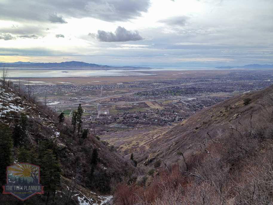
The trailhead starts on the Firebreak road which is also the Bonneville Shoreline Trail, and it is nice and clear and easy to follow for a little ways up the canyon.
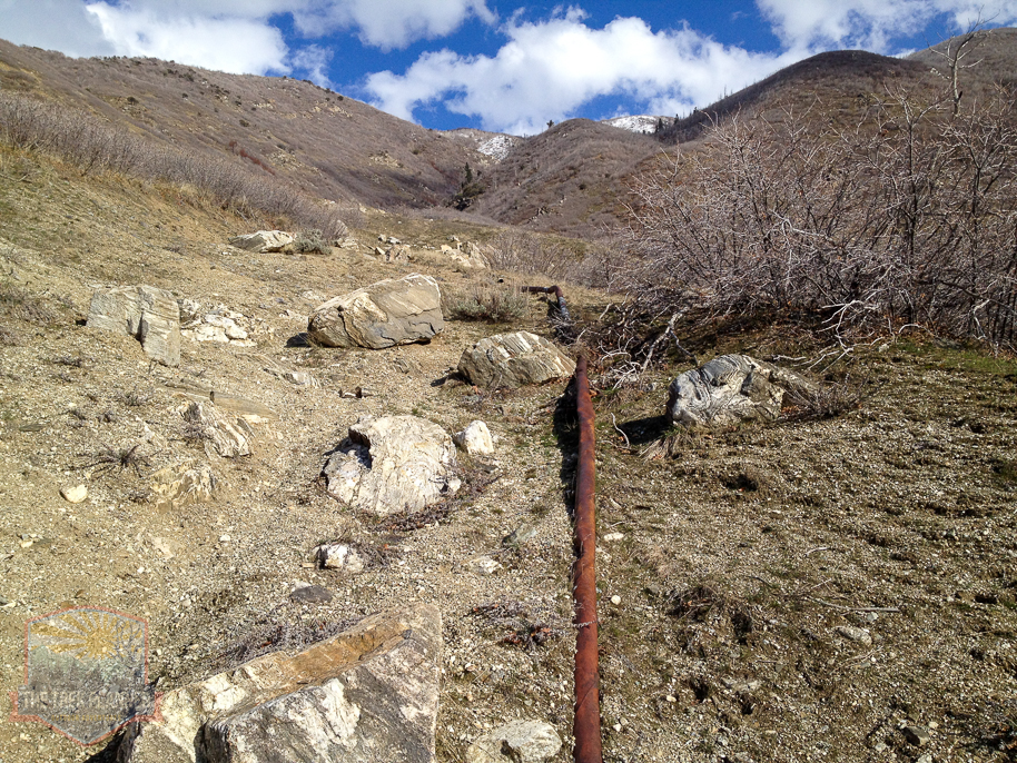
About 100 yards up the trail from the Firebreak road I came across a dead red fox that was still trapped in a paw clamp. It looked pretty fresh still. I can’t imagine your dogs or children coming close to this thing…I mean, the trap was literally 8 feet from the Rudd Creek trail.
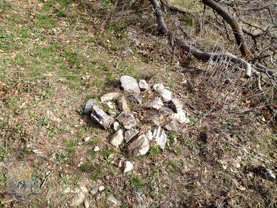
Quickly the trail disappears and I was left to assume where the trail continues. Luckily, I found that the trail widens out until it comes into the canyon where there was a small fire pit.
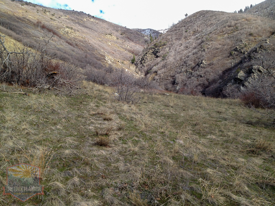
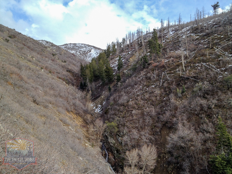
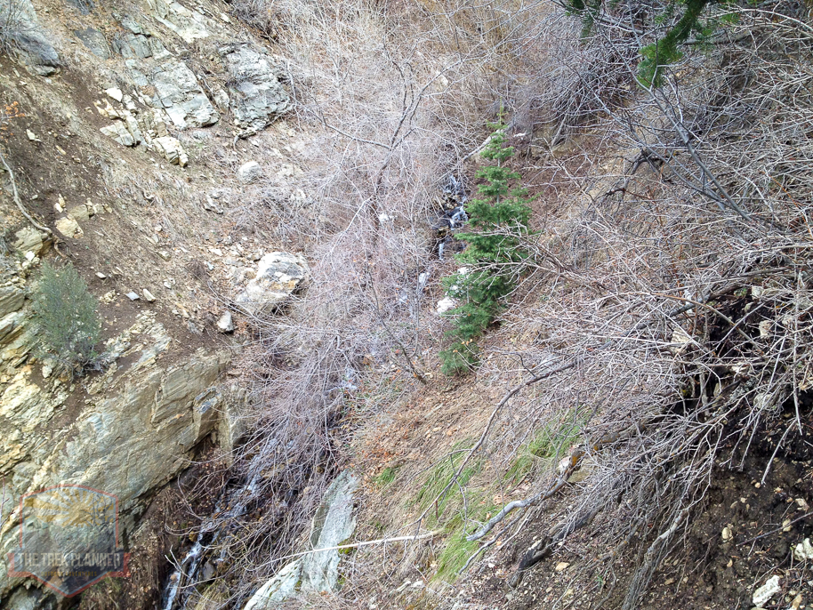
After the fire pit area the trail narrows exceedingly and it gets very steep. I wasn’t certain where the trail went from here so I decided to just follow what seemed to be a game trail up to a ridge of rocks – I can see why not too many people hike up this canyon.
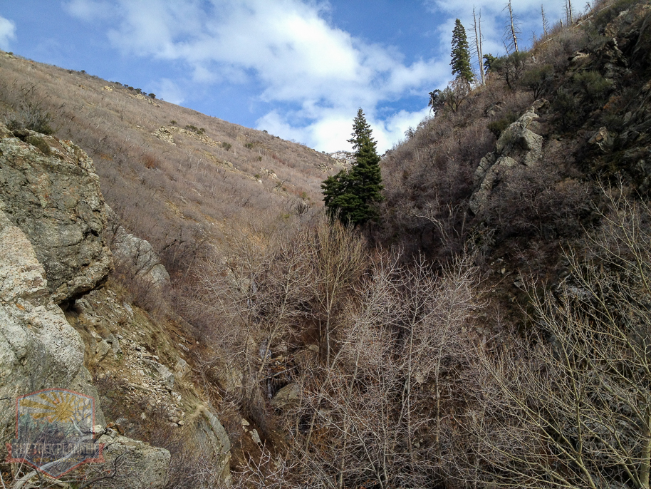

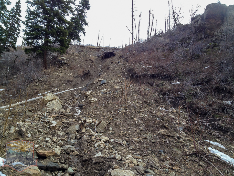
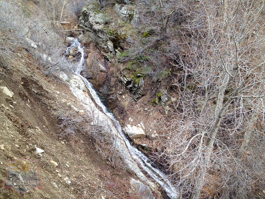
Looking across at the north facing side of the canyon. There was a large landslide
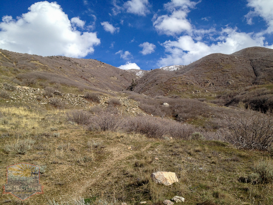
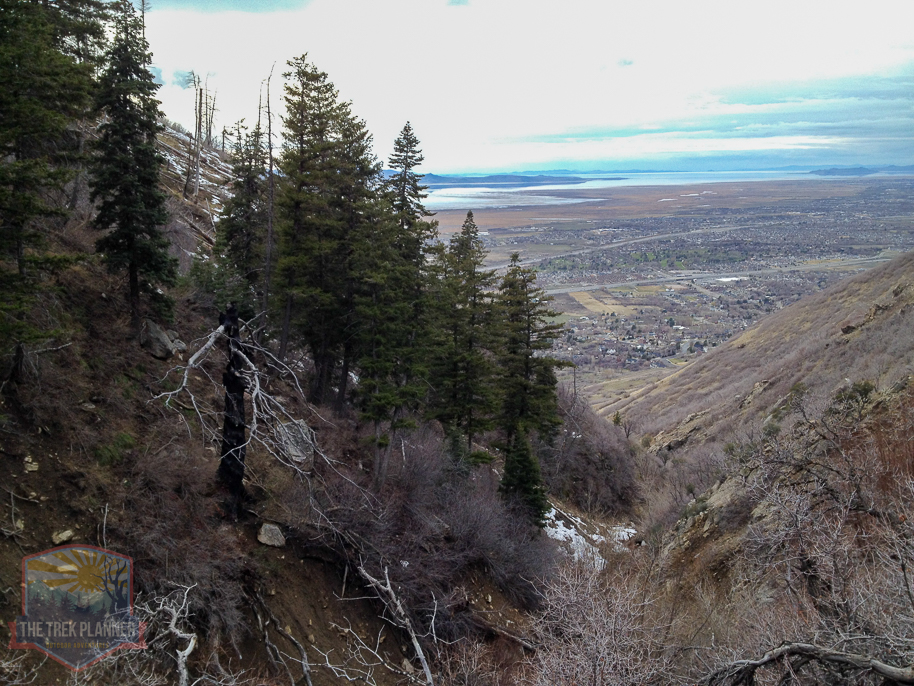
The trail seemed to just end on this ridge of rocks but I had a nice view of the canyon and even the Great Salt Lake. I convinced myself that I had gotten off the real trail and so I headed up the side of the mountain a few hundred yards until I found another trail. This trail only ended to be another game trail and quickly stopped in front of a few thorn bushes.
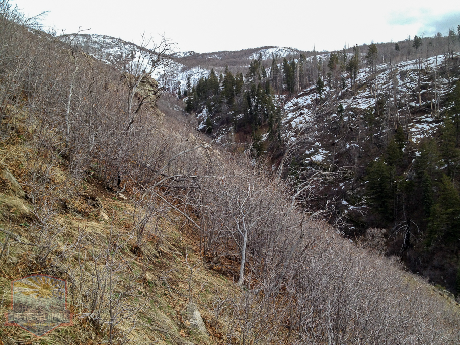

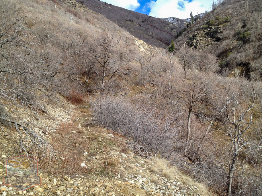
I decided I would now head back down towards the creek and maybe I could hike up the canyon more. This effort proved to be in vain as the creek had just as many bushes and trees to keep me from progressing up the canyon.
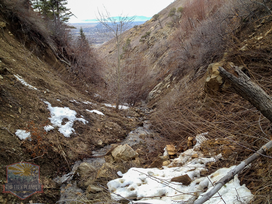
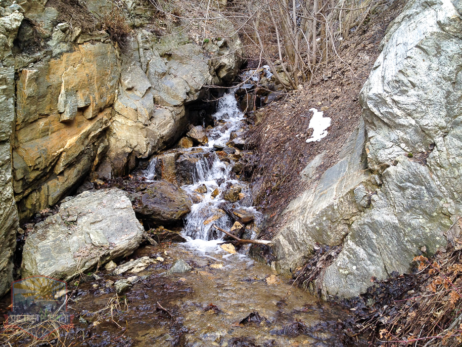
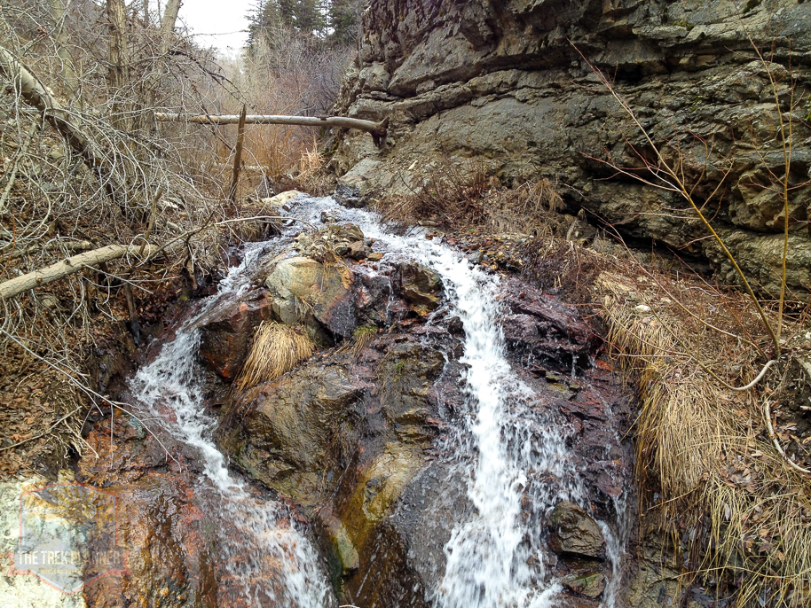
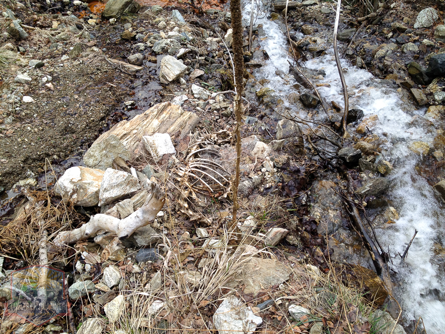
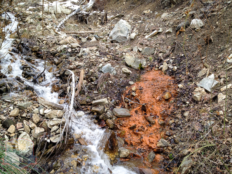
After accidentally falling down a very steep mud slide area I decided my adventure with Rudd Canyon was over. I didn’t see any signs of old mines or any other interesting things so I followed the creek down a little ways and noticed a bad stench in the air.
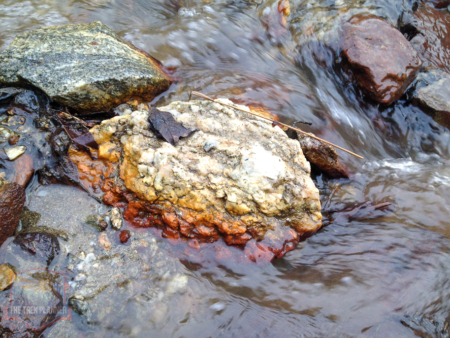
Upon investigation I found that the stench in the air was not me, but that it was a very small sulfur spring. The sulfur had stained the mud and rocks brilliant orange and red colors and the water was just a little bit cooler than luke warm. The spring is literally located right next to the creek and you could feel the difference in temperatures as the creek was freezing cold and the spring was not too bad.
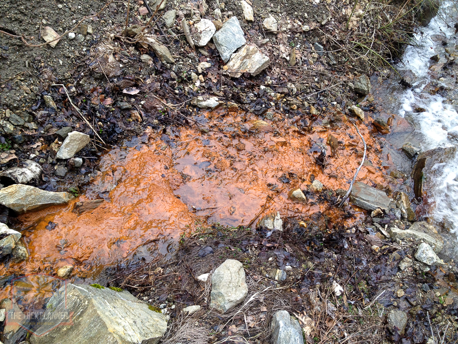
The sulfur spring was a nice surprise and after talking with my brother about it, he thinks that it is the only thermal spring located in between the N. Salt Lake springs and the Ogden Hot Pots.
After checking out the spring I followed the creek down another 50 yards then made my way back up to the ridge of rock and found the trail again and came back down.


Personal Thoughts
Rudd Canyon was a little disappointing. It was very steep and there wasn't much to see besides the few pine trees and the creek. The sulfur spring is probably the only thing of "excitement" value in the canyon. I was hoping to find mining prospects like there are in the adjacent canyons but there didn't seem to be much of anything.


[…] trail starts on the Bonneville Shoreline Trail at the same location as Rudd Creek. The trail is steep and gains elevation quickly and you will see that not many people go on this […]
I went to Rudd Canyon with my Brother Craig today, The trail above the camping area has a very dangerous rock slide just before the rock ledge. Way too risky for an old guy like me. We have been prospecting in this and other areas for years. Thank you for the great info. Didn’t quite make it to the sulfur spring but had a good time. Mark Wilcox.
Rudd Canyon is a steep one! Glad you enjoyed this little canyon, Mark!
This was an interesting article. I have been searching for pictures of the landslide area that came down into Farmington City in May of 1983. It’s very hard to see the scared area now that came down Rudd Canyon. Use to be able to see it from the freeway for years. I was working on the Sheriff’s Office Paramedic Rescue truck the day Rudd came down. The notification to this emergency came from the Farmington police officer that was on duty that day. It was about 4:00 pm when the office came on the radio yelling he had an emergency… Read more »
I have a question for you, Jeff. I have thought a lot about Rudd Canyon since I was there in 2021, and you were kind to comment on my post. My question is this. I saw the rock ledge that comes down the North side of Rudd Canyon, that you mentioned. I had the impression that the warm spring is up above the rock ledge, but when I re read your account, it sounds like the warm spring is below the rock ridge. I still want to see the warm spring. Is it above or below the rock ridge? Thank… Read more »