
The Trek in a snapshot
Location
Grand Staircase-Escalante National Monument, Utah
Managing Agency
Grand Staircase-Escalante National Monument
Pets
Allowed
Fees
None
Restrooms
None
Camping
Allowed in designated areas only
Trail Condition
Very sandy trail for the most part that eventually turns into sandstone up to the arch. It gets steep the closer to the arch you get with some minor scrambling required
Sights
Phipps Arch, Escalante River, tall sandstone cliffs, wildlife
Water Info
Bring 2-3 liters of water
Best Season
Spring, Fall. Summer is OK, but very hot
Distance
6.10 miles roundtrip
Time Required
3-4+ hours
Parking Elevation
5202 ft
Summit Elevation
5514 ft
Elevation Difference
312 ft

Trek Planner Maps
Trailhead: 37.77588, -111.41869
First River Crossing: 37.76934, -111.4126
Turn Right to Phipps Wash: 37.76779, -111.40228
Phipps Arch: 37.75645, -111.41014

Experience. Discover. Explore.
Follow along on our adventure then go out on your own!


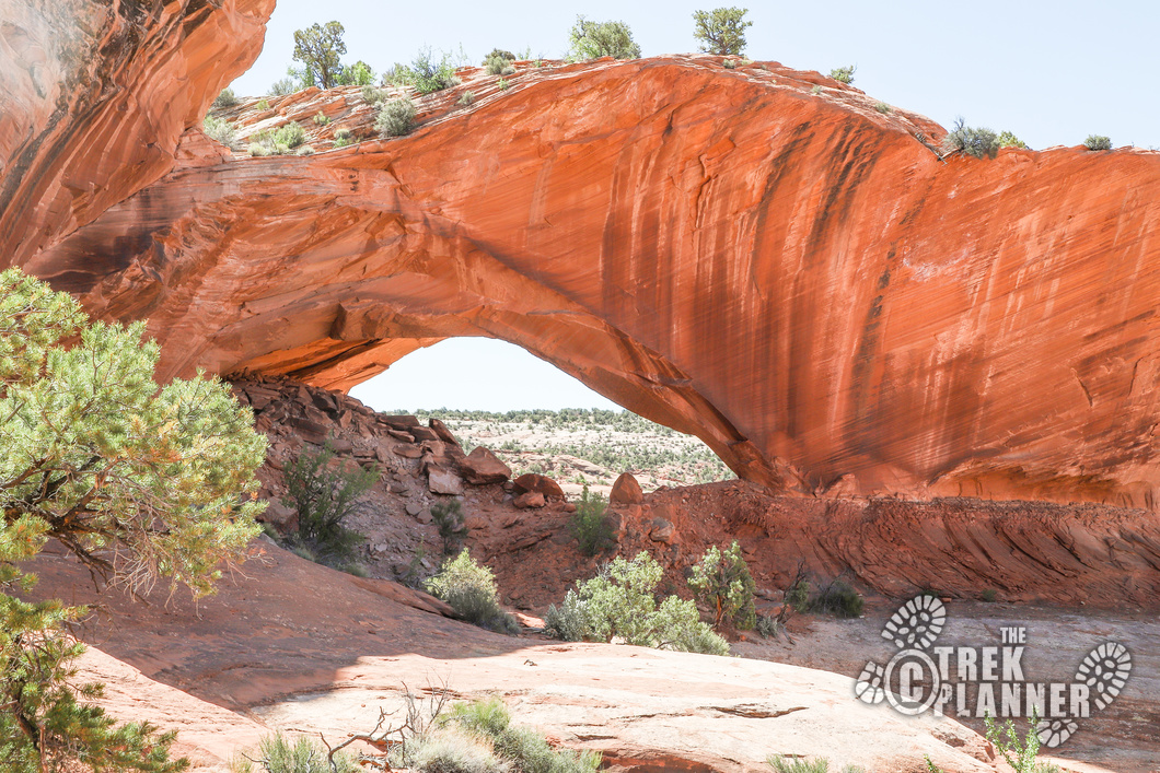
This is a fun adventure to the top of a mesa to see Phipps Arch! You will be hiking through parts of the Escalante River area before turning up Phipps Wash, then finally hiking up to the arch.
Just park anywhere at the Escalante River Trailhead parking area. The trailhead for Phipps Arch begins on the east side of the road at the end of the bridge.
The trailhead for Phipps Arch is on the east side of the Highway 12 just on the north end of the bridge. You will see a sign that says something about private property, so just stick to the trail and respect the land owner. There is an easement and you will see trail markers for the first part of the hike.
I am dividing this hike into three portions: Escalante River portion, Phipps Wash portion, Phipps Arch portion.

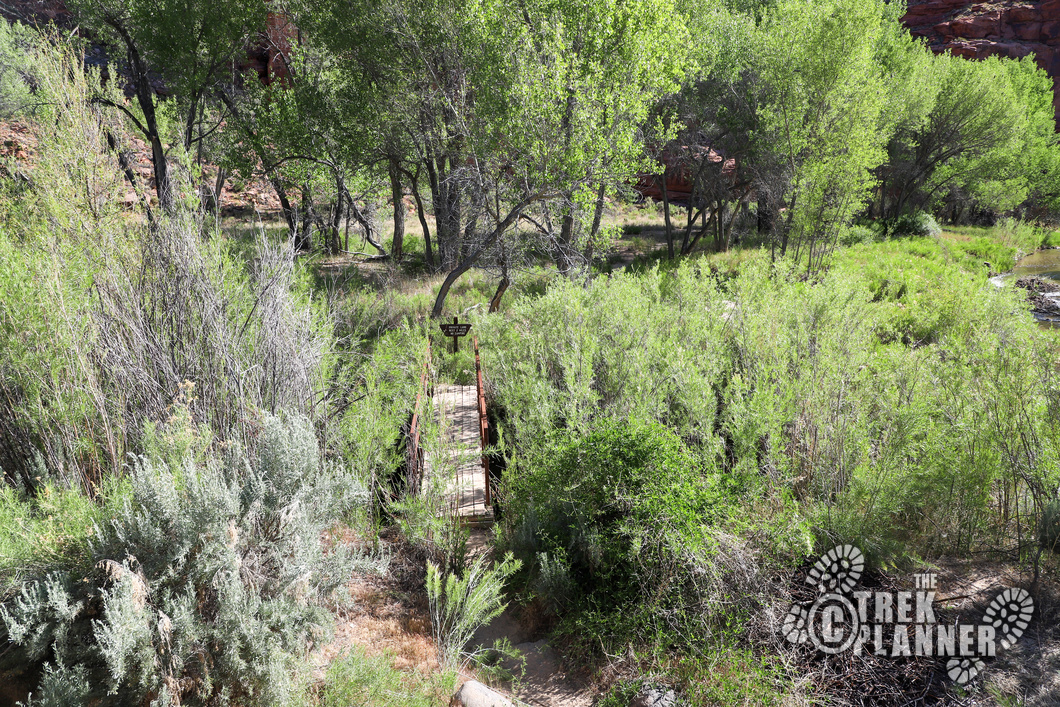
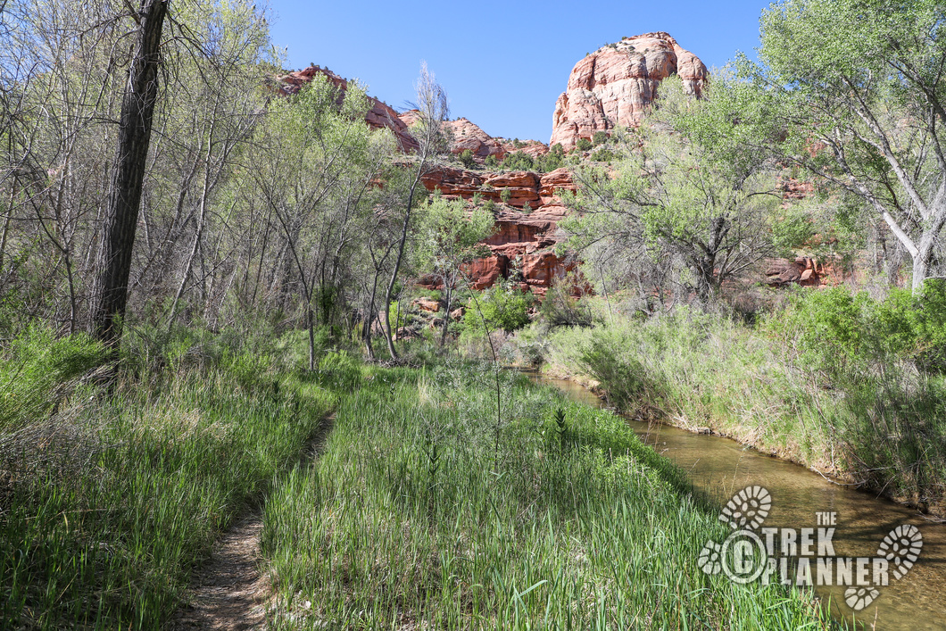
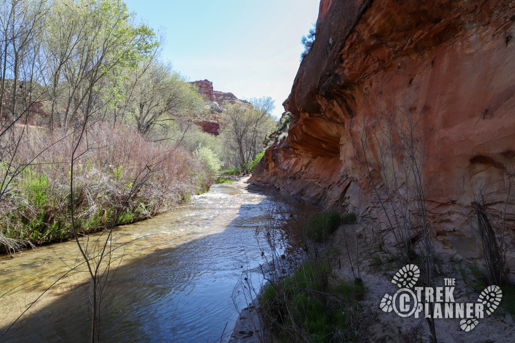
You will be hiking along the Escalante River for about 1.4 miles. You will need to cross it at least once and then there are two more parts where you will be skirting the edge of it and will still need to step through the river, but just on the sides. I brought amphibious shoes so I didn’t ever change, but you may want to bring some sandals to use once you get to the first creek crossing then change into your hiking shoes once you get to the Phipps Wash portion.
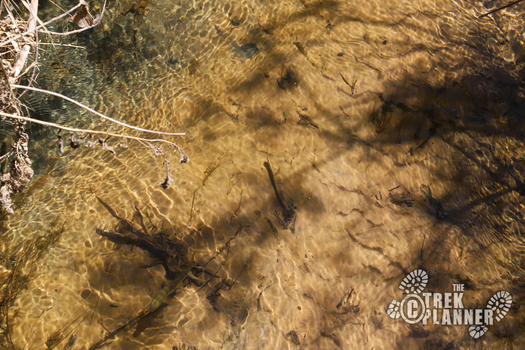
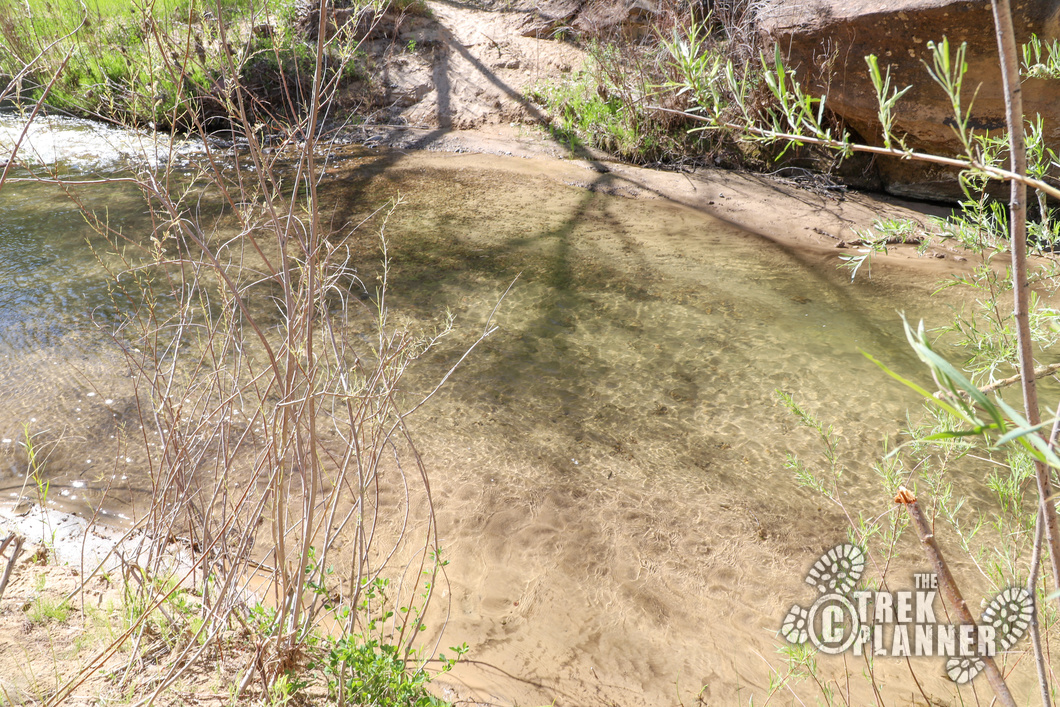
There are even some small fish in the Escalante River!
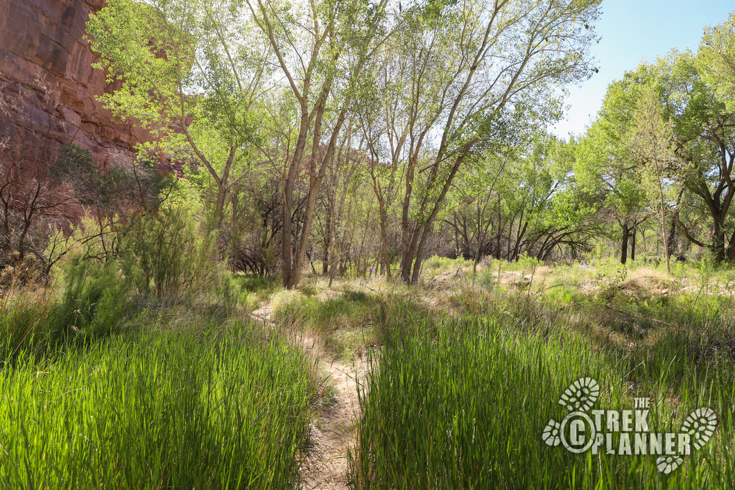
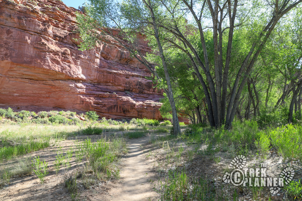
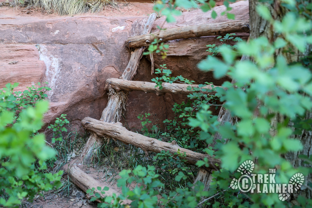
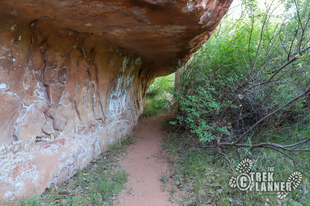
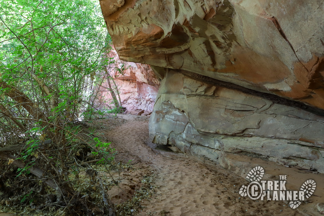
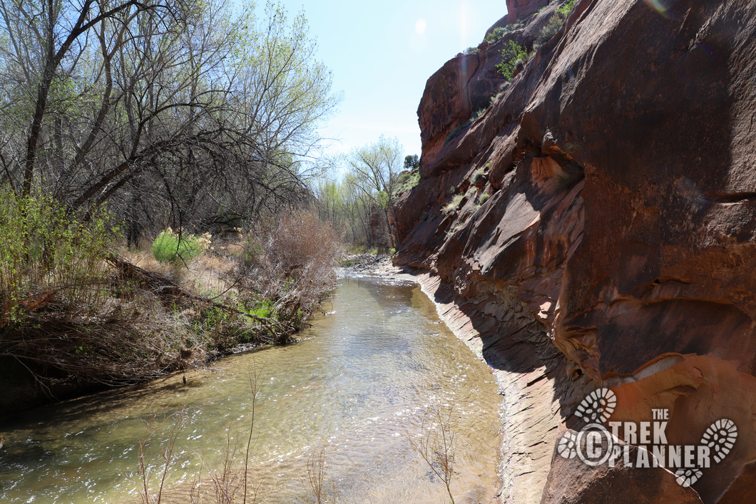
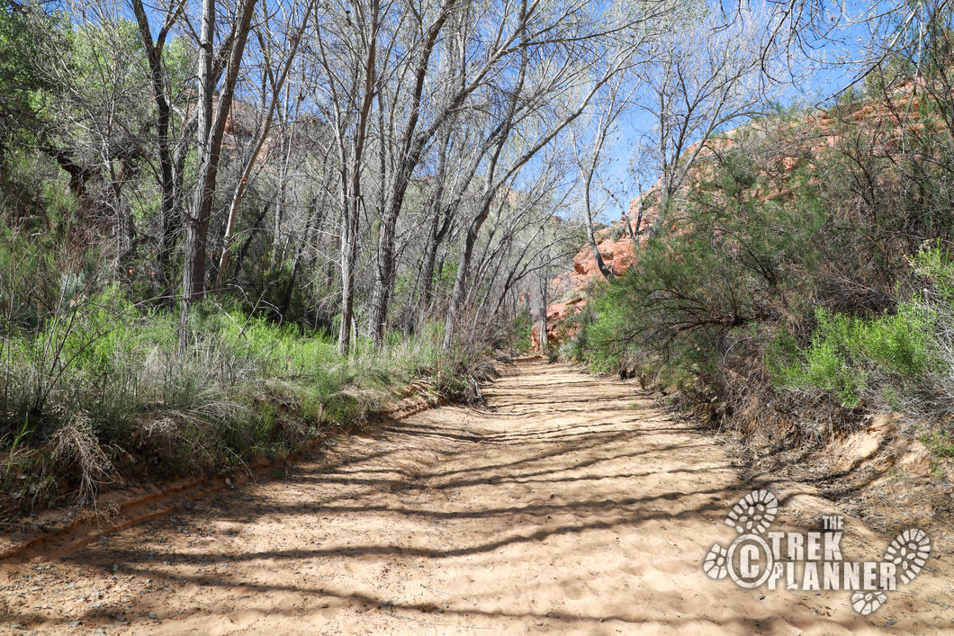
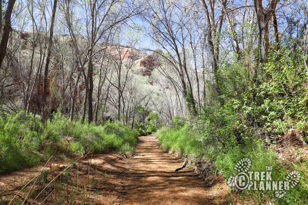
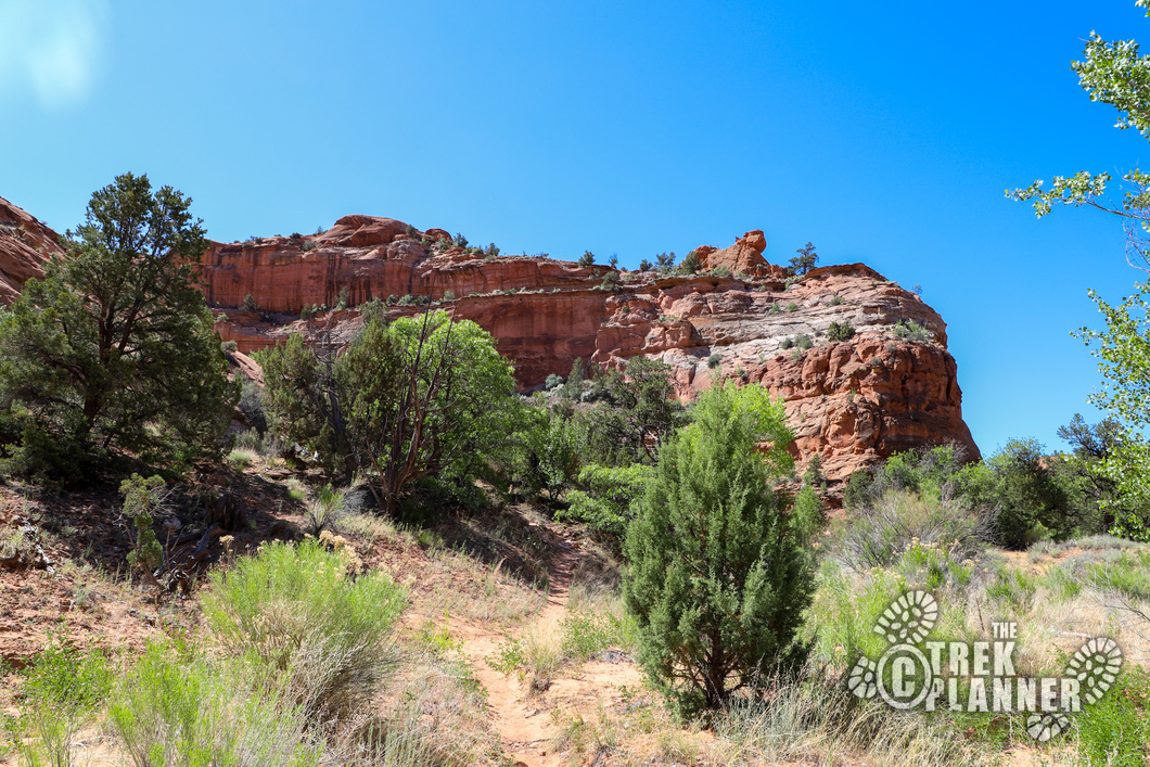
The trail along the Escalante River is beautiful, yet narrow and sandy. You will be under tall cottonwood trees and have the opportunity to see lots of different types of birds. You will hike below tall sandstone cliffs and have many views of the river. This is all private property so just stay on the trail and be respectful. You will come to a short ladder and then the trail continues until the first river crossing. The trail is very sandy and at times can be slow and frustrating. Just take your time and enjoy it!
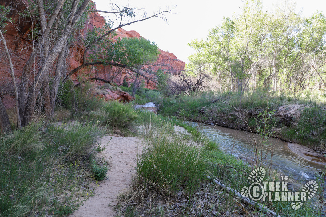
The first river crossing is at about 0.77 miles from the trailhead. The river is shallow and narrow and the water during this time of year (May) was very cold! I think the water went just below my knees and then you come out the other side and follow along the cliffs for another 0.70 mile until Phipps Wash. After you cross the river, there are two more spots where you will need to walk through the edges of the river. These parts were even more shallow and it gave me chance to splash some cold water on my face.
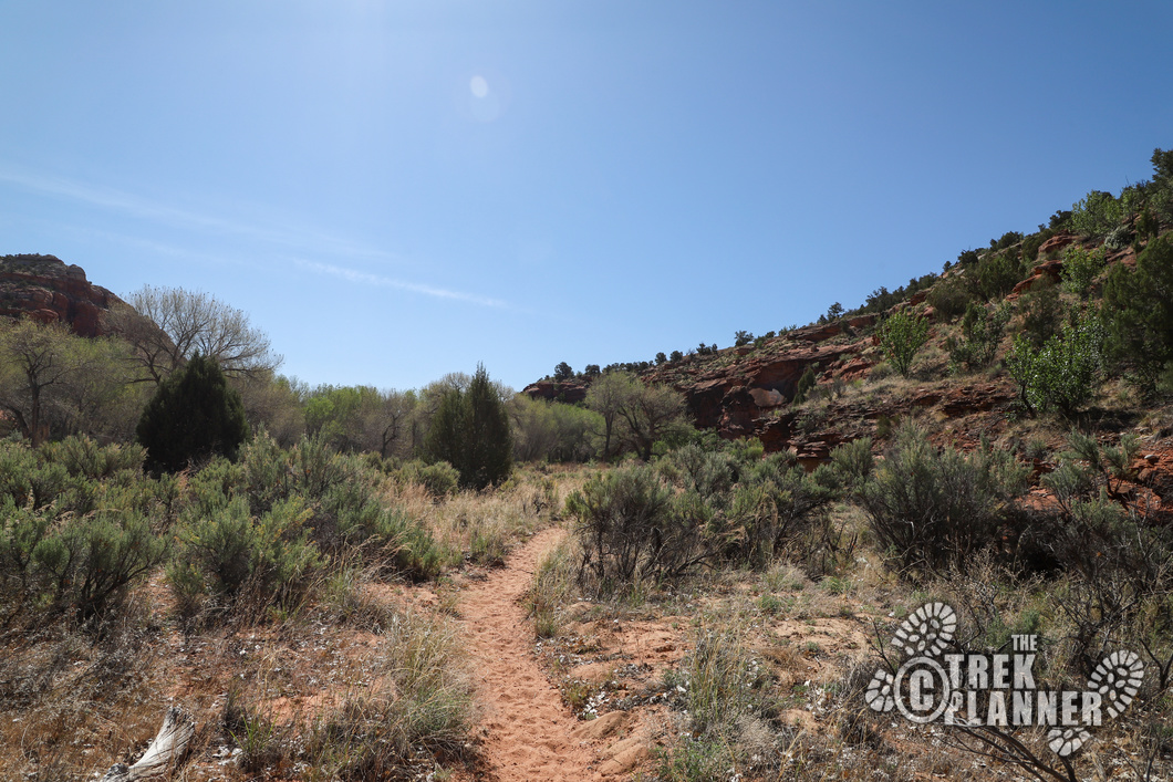
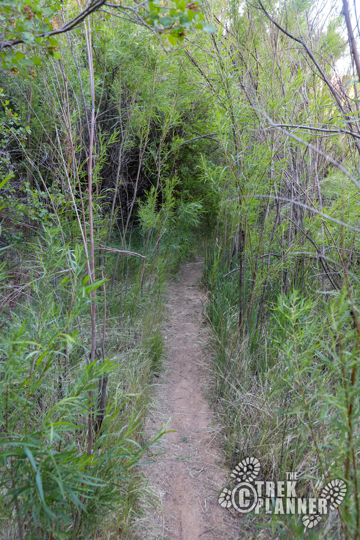
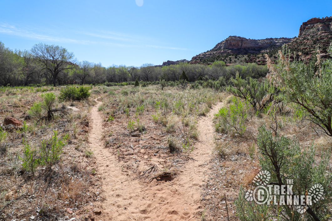
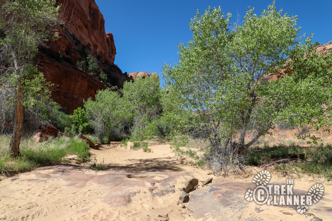
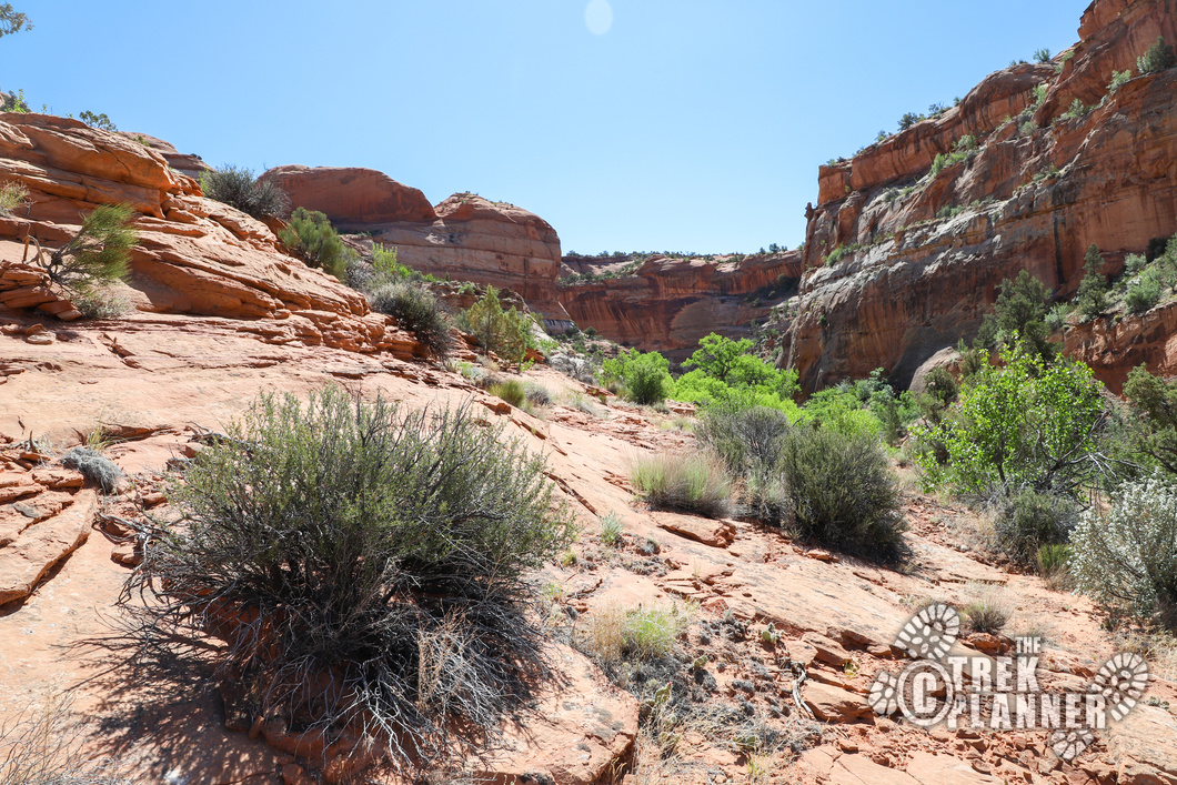
At about mile 1.4 you will come to a trail junction. The left trail goes to Lake Powell which is another 70+ miles away. Take the right trail to Phipps Wash. You will soon leave the gentle splashing of the Escalante River and go south through Phipps Wash. From now on, you will be travelling through the very sandy wash and on dirt, so it will be slow hiking at some parts.
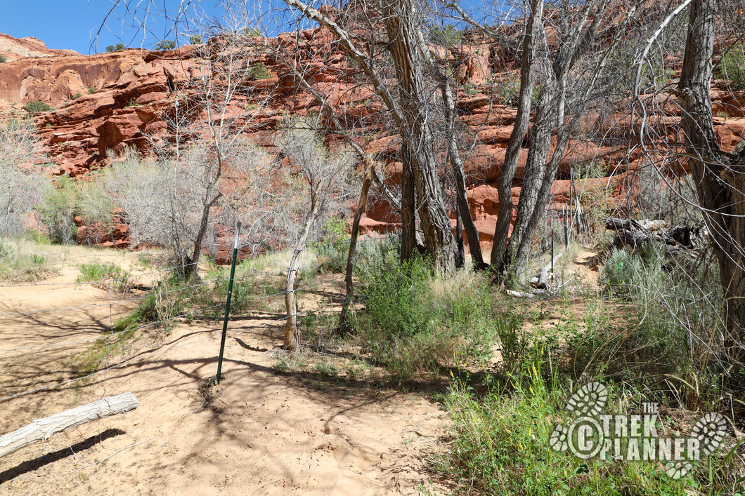
You will eventually come to a barb wire fence. You can either slide through the fence or find the trees that have an opening in them and go through it. Either way, you can all together avoid the barb wire and continue up the canyon.
Keep in mind that this area was home to the Ancestral Pueblo and Fremont Indian cultures many hundreds (and thousands) of years ago. Please be respectful of the ruins and rock art and just take pictures.
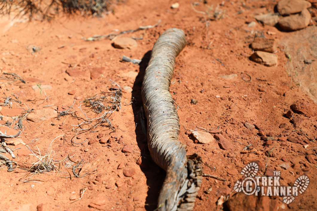
I was hiking through the quiet dry wash when all of a sudden I heard this large bird jump out under a ledge and run up the hill. At first, I thought it was a condor or vulture because the bird was so large! But, when I saw the bird running, I then realized it was a big fat wild turkey! I’ve never seen a turkey fly, but it flew (jumped) about four feet above the ledge and then took off up the hill to an alcove. I tried to get some pictures, but it was too fast.
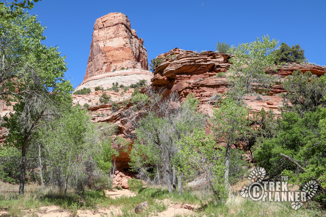
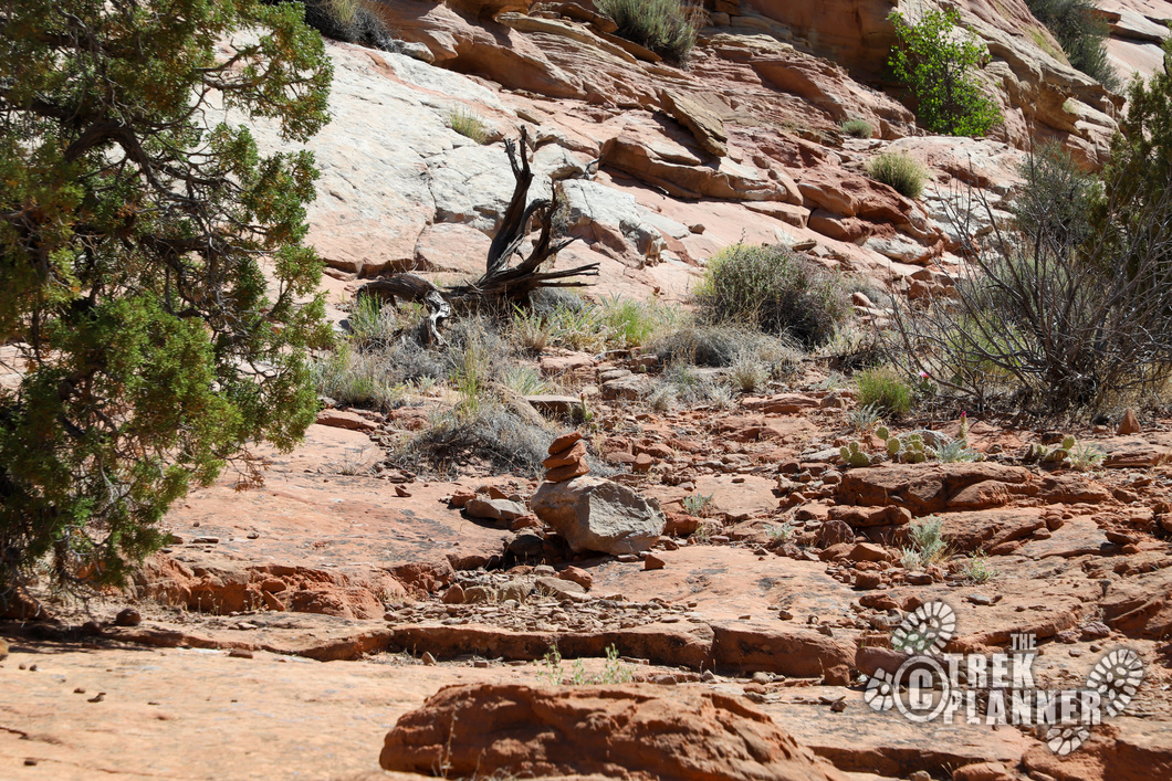
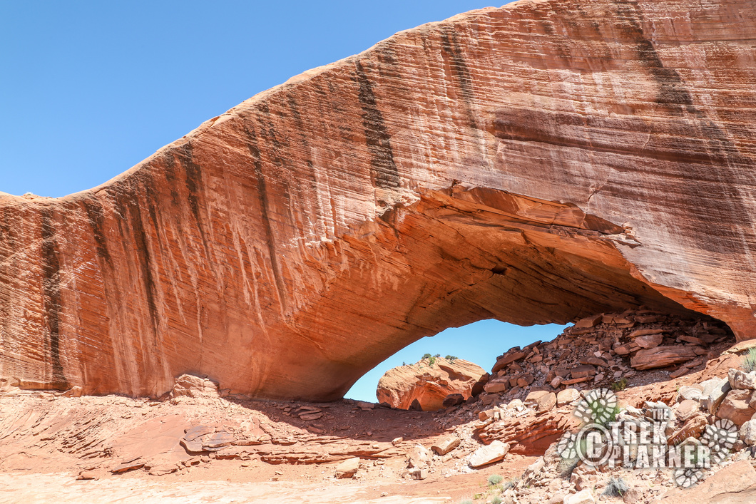
At about 2.7 miles, you will then need to hike up on the sandstone to begin your ascent to Phipps Arch. There are some cairns and multiple trails to get to the top, so just pay attention. At this point you will be hiking east up the cliffs. Don’t worry, this part isn’t exposed or particularly dangerous, but you will need to do some minor rock scrambling in parts. It’s another 0.35 mile to the arch.
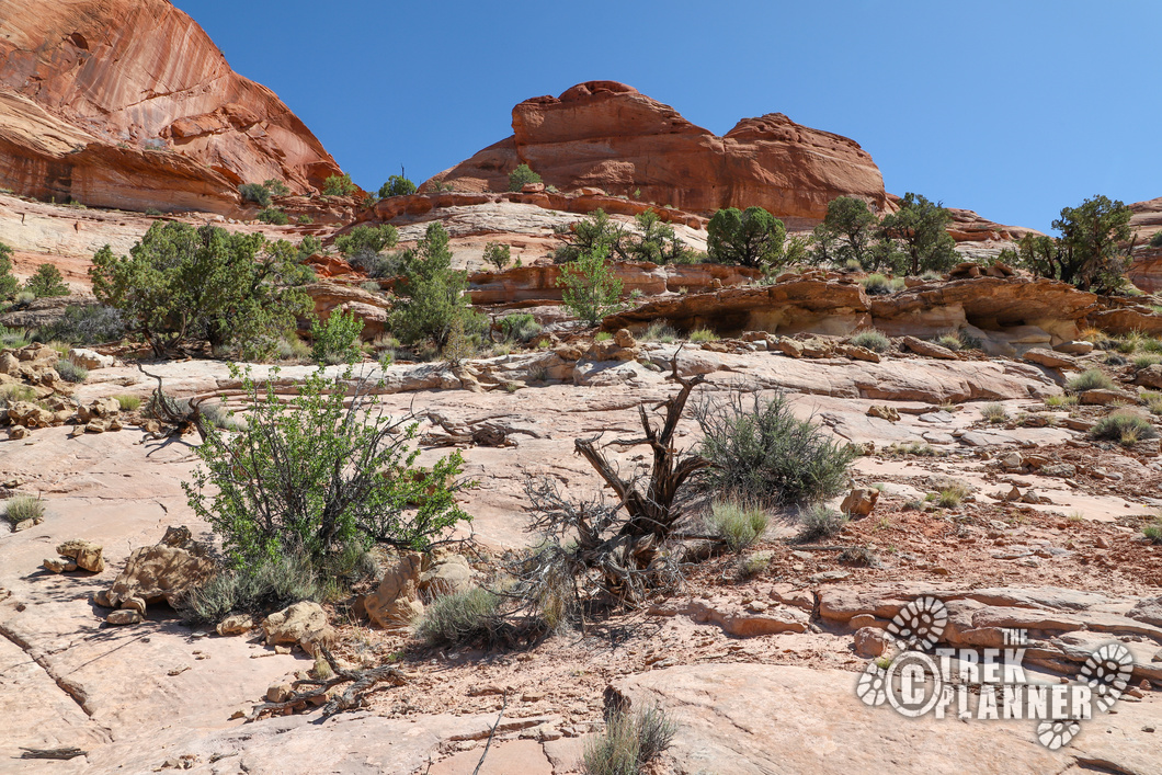
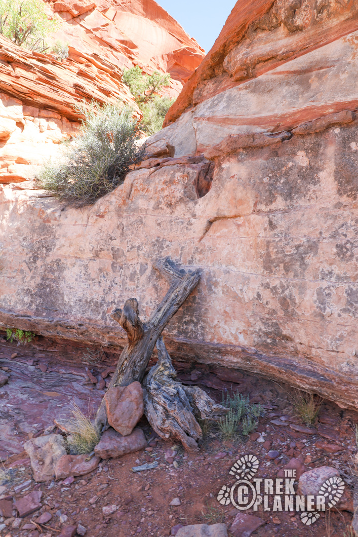
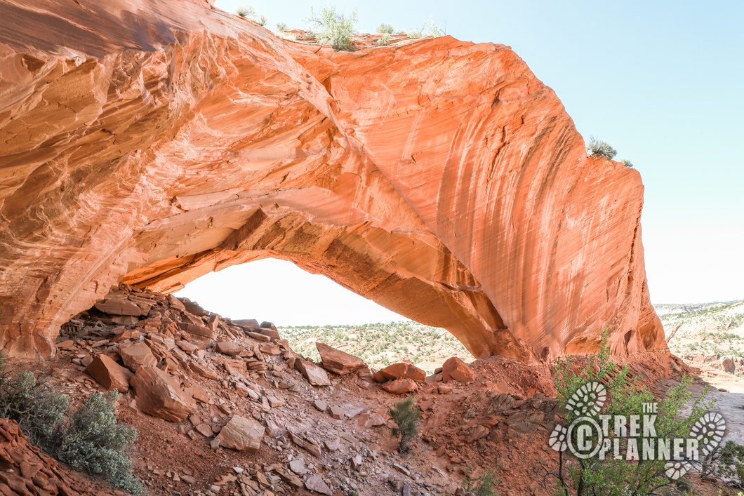
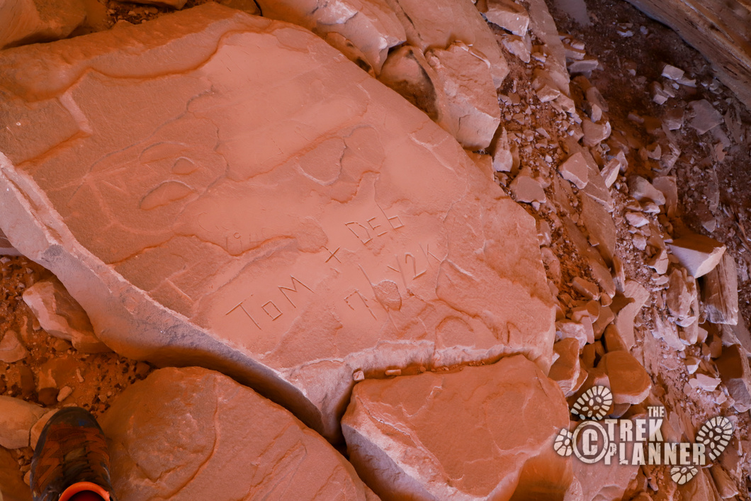
Eventually, you will get to a large flat bowl area at the top. Hike directly to the arch and you will have successfully made it! The arch is pretty big and you can see dumb people have carved their names or initials in the rock – please don’t do this! If you look back towards the wall you will see remnants of some ancient structures. Do not disturb this area or take any artifacts if you find any.
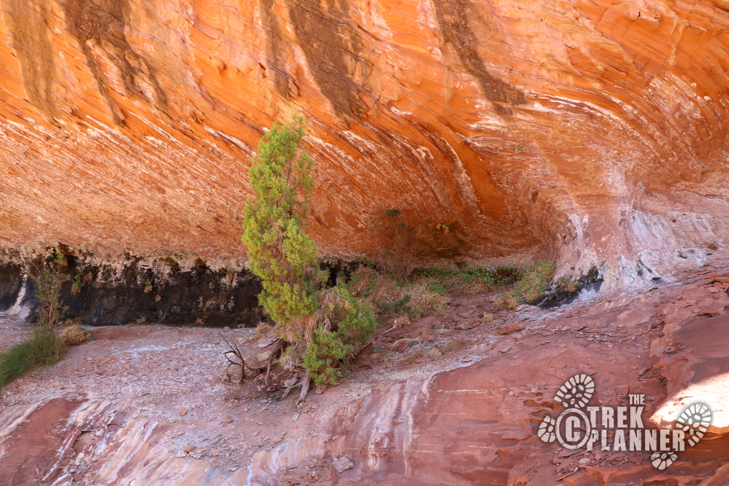
On the south side of Phipps Arch is another flat area. I found a few seeps where precious drops of water were coming straight from the sandstone. These little drops of water create provide water for plants, animals, and humans.


This is the backside of Phipps Arch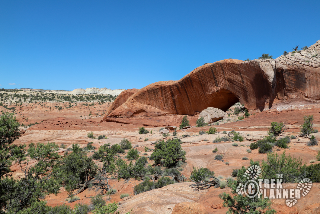
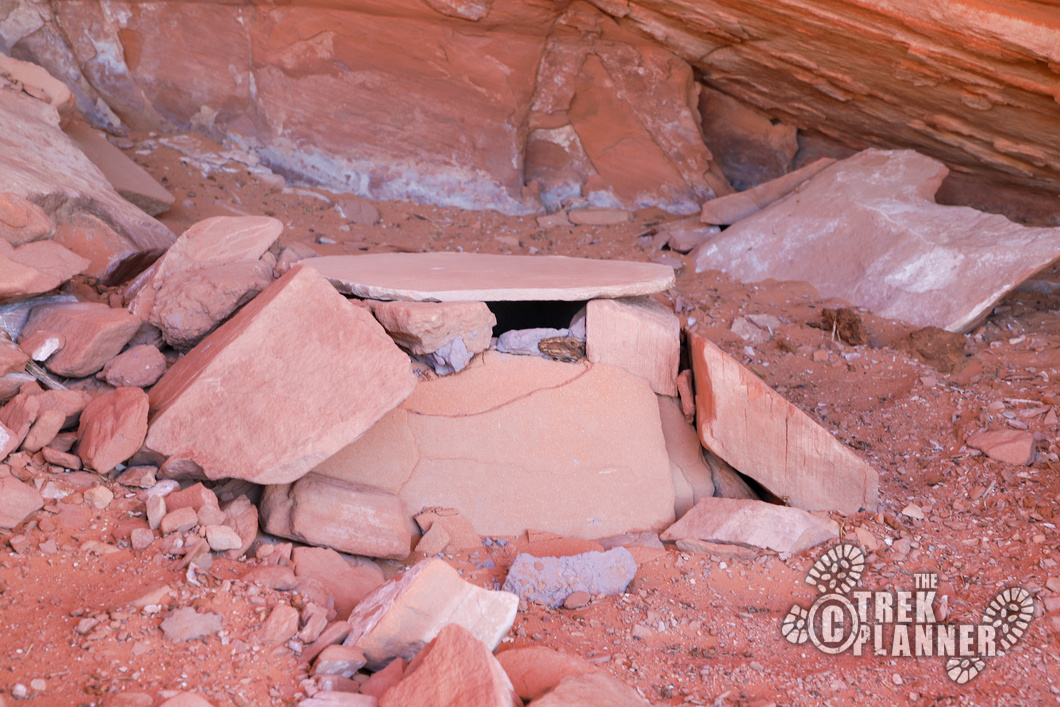
I will show you where some ruins are located, including a granary!
Trek Planner Insider Members will be able to view additional pictures, 9 GPS Coordinates, and a map of where I believe this community was located.
(memberships are currently unavailable)
This content is locked

Personal Thoughts
This is a great hike for those who want to do something different in Grand Staircase-Escalante National Monument! Plus, most of the hikes in the monument are dog friendly, so bring the pooch and go on an adventure to Phipps Arch!


