
The Trek in a snapshot

Trek Planner Maps
Note: take notice of the light blue trail (shortcut) and also the orange trail (better trail). The orange trail is a little bit easier.
Parking is at Alta. Make sure you park in an area where parking is allowed, since there are many spots where parking is prohibited.
Trailhead: 40.59019, -111.63728
Mt. Superior: 40.5921, -111.66699

Experience. Discover. Explore.
Follow along on our adventure then go out on your own!


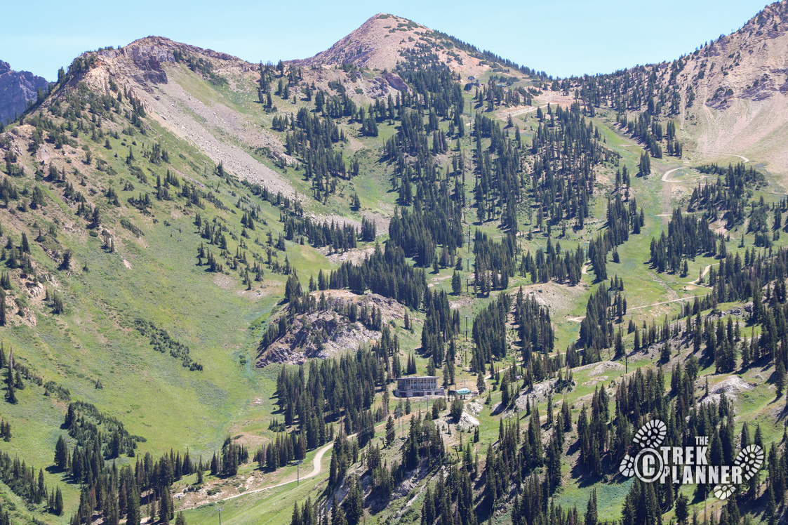
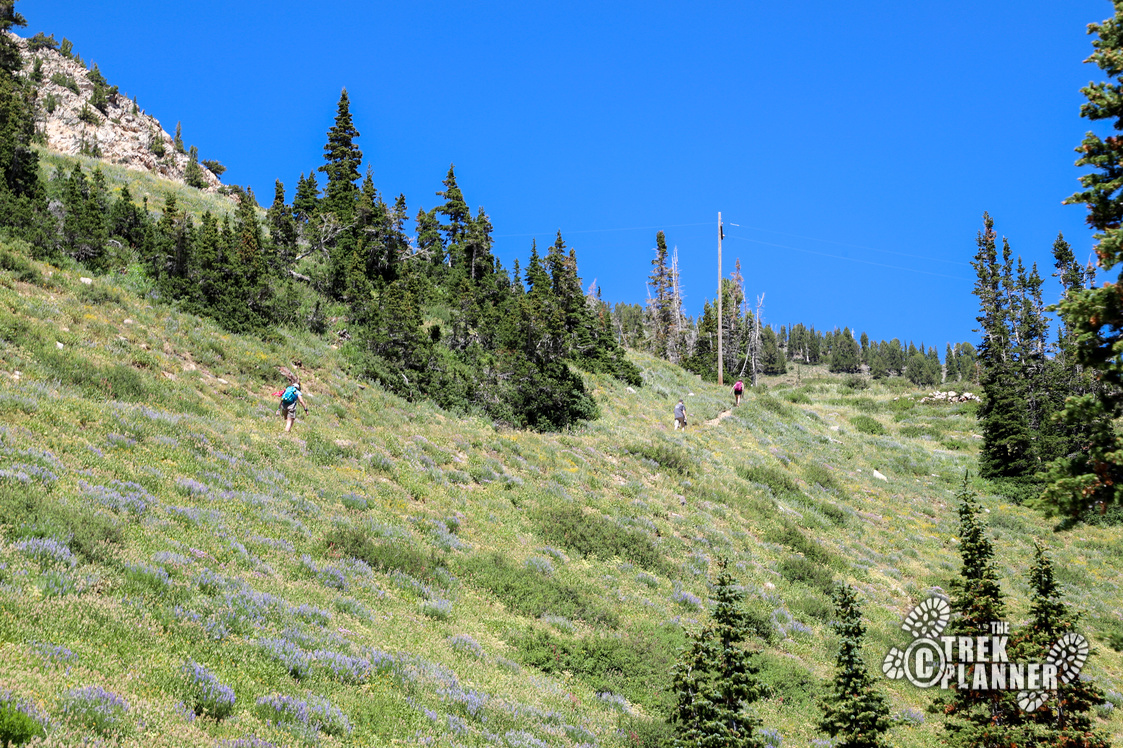
The trail to Mt. Superior will take you about 2.40 miles from the parking area down by the Alta City Offices building. You will be gaining just under 2,500 ft in those 2.40 miles, so you will really need to pace yourself.
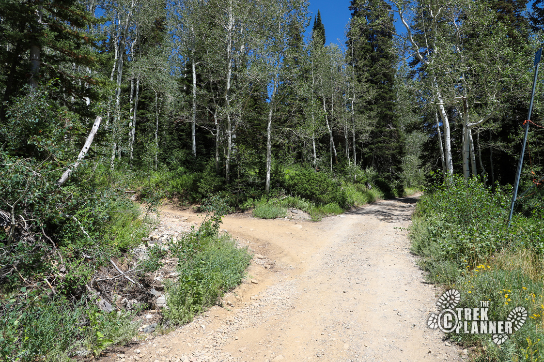
The trail begins on asphalt and makes 3 turns through a small section with a few houses and city offices. You will pass an avalanche study area on your right and you will see that the trail continues straight or cuts left. Take the left to begin the trail to Mt. Superior.
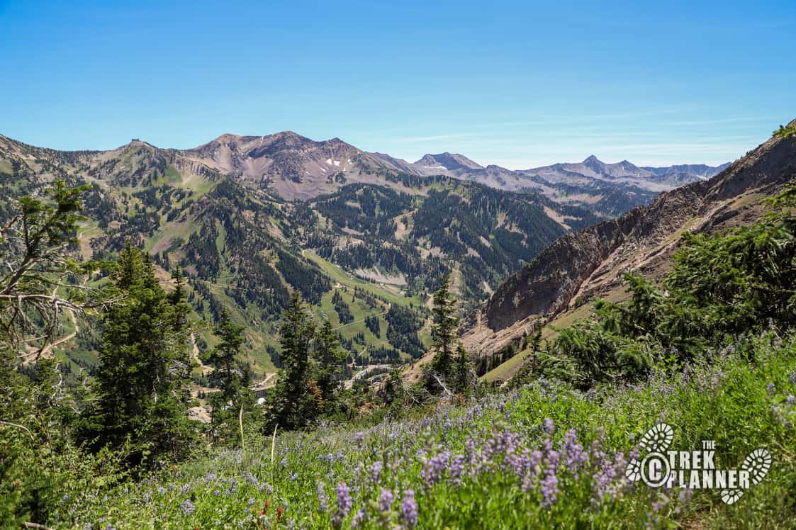
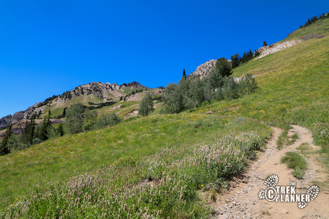
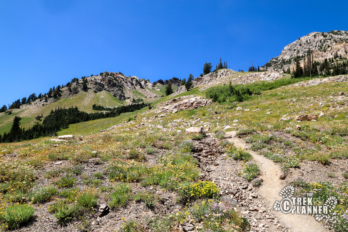
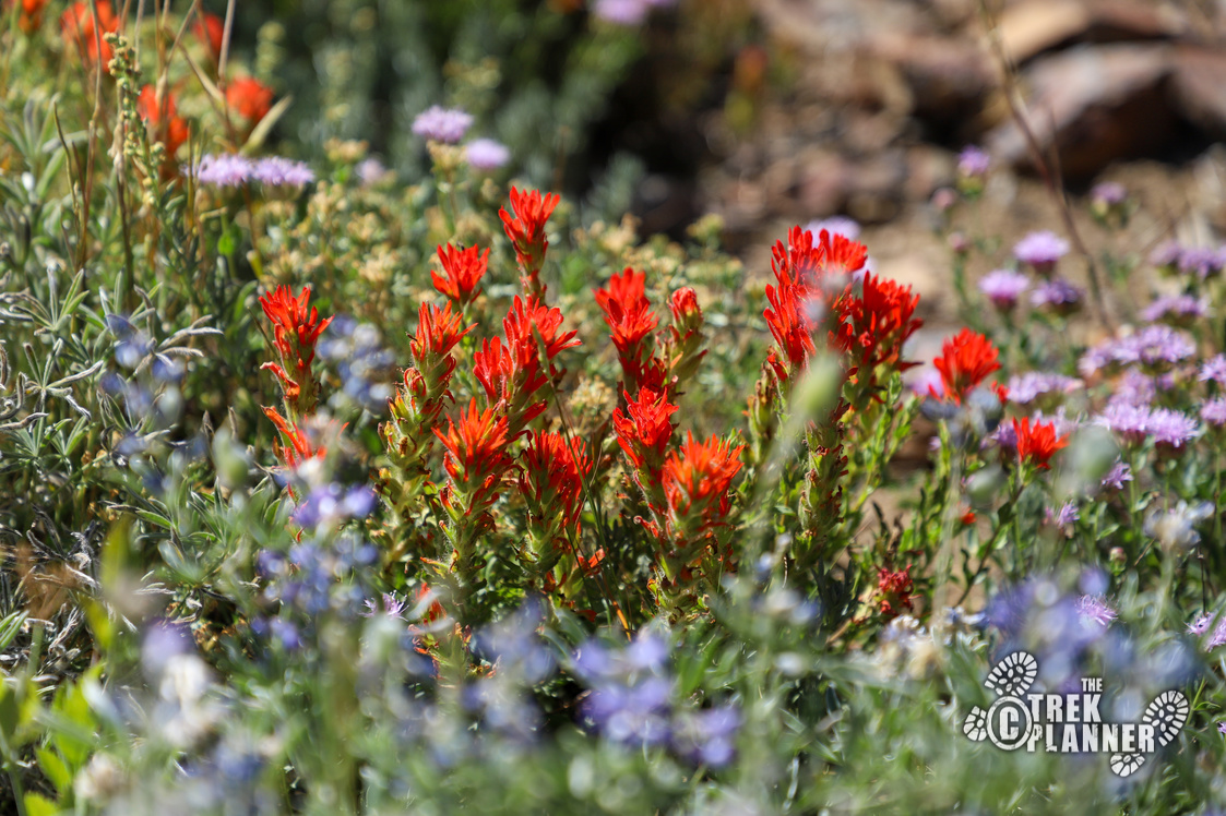
You will pass by meadows of wildflowers and pine trees throughout this adventure. The trail is easy and wide to see as this used to be a mining road to many mines in the area. I have already documented many of these, so if you want to extend your visit on this trail, you can take a look at some interesting mining history of Alta!
The first portion slowly eases you into this hike. The hike gets steep and tiring, so you will need to take breaks and enjoy the scenery along the way. There are many side-trails and what some people think are “shortcuts” but some of these are game trails. It might be tempting to take one of these, but just stay on the main trail and save your energy.
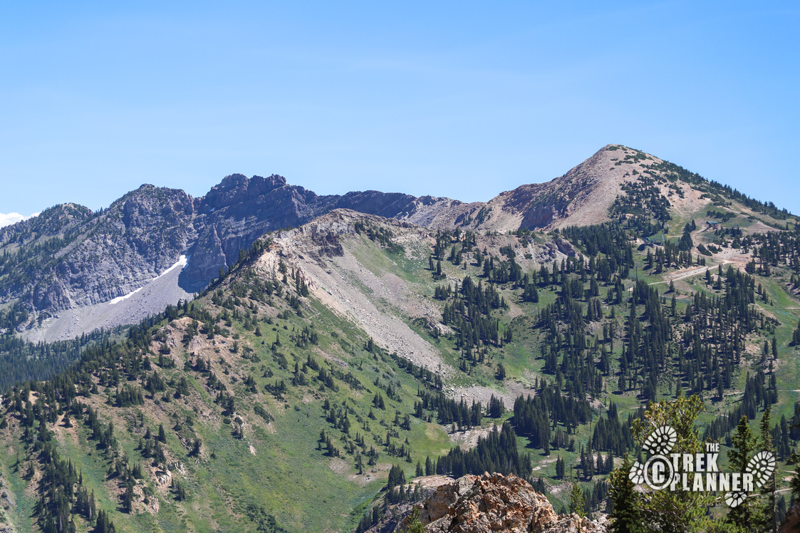
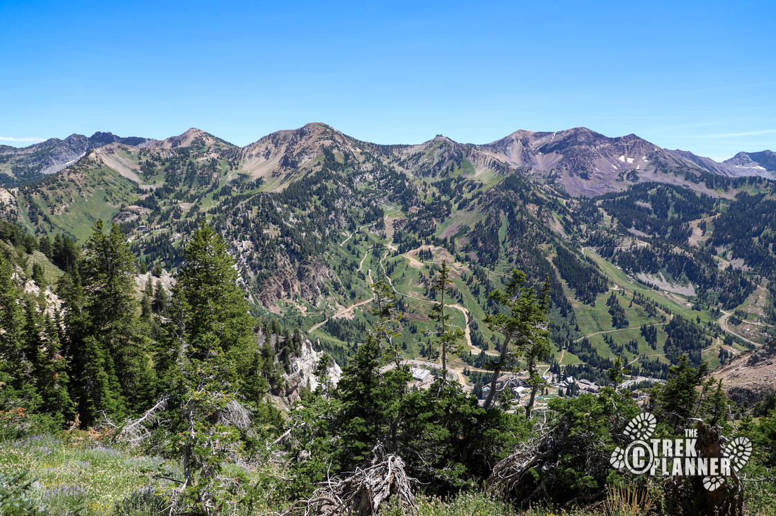
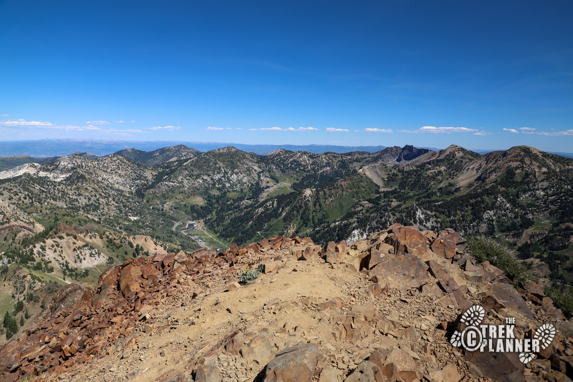
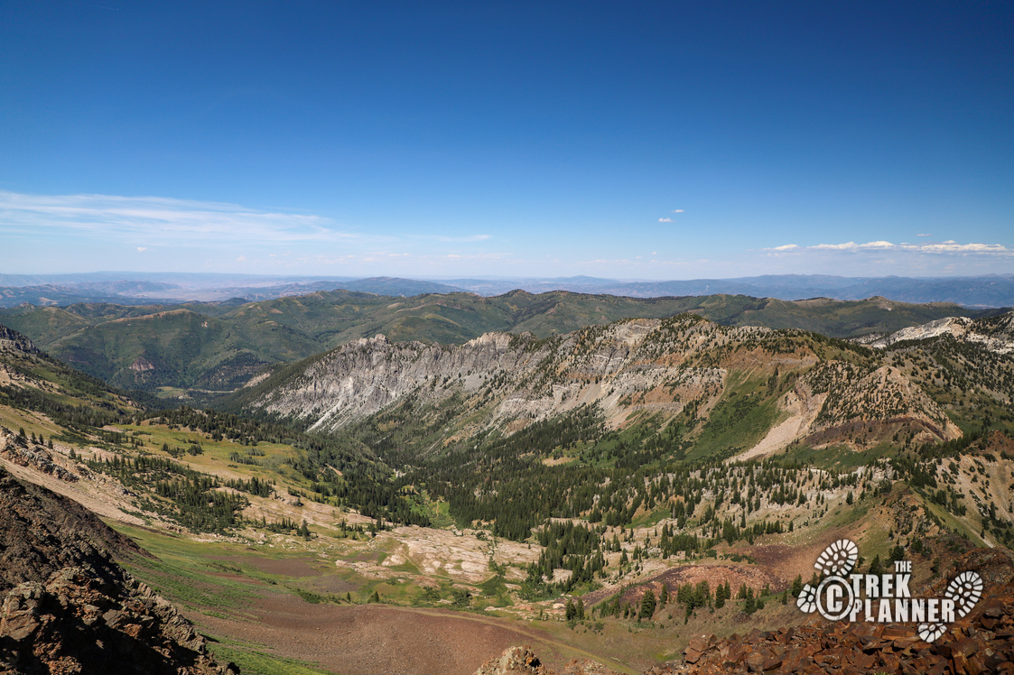
The mountains in the above picture are Devils Castle (left) and Sugarloaf (right)
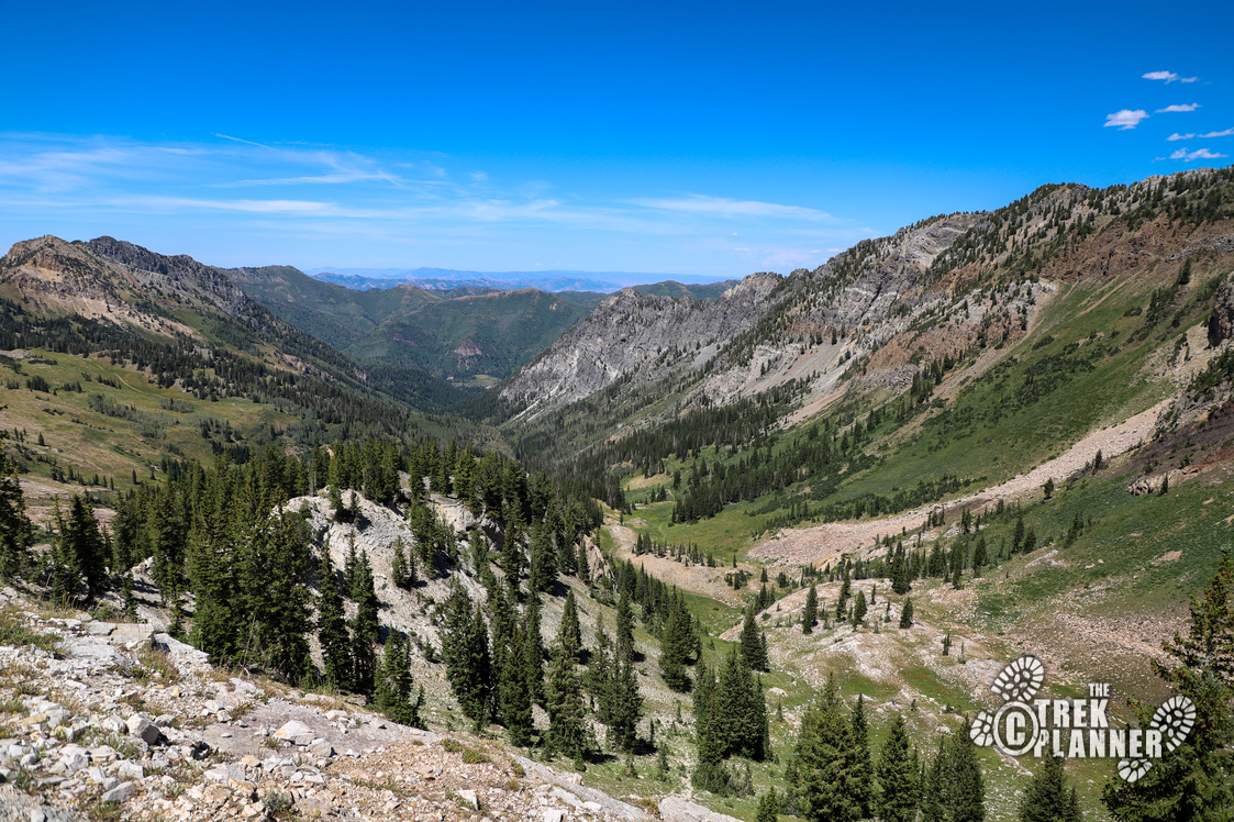
(in the picture above) Eventually you will get to the ridgeline where you can see where the trail goes down and meets up with the Cardiff Trail in Big Cottonwood Canyon to the north. Many people get to this point and turnaround. If you’re interested, we also have an ATV trek going through Mineral Fork. Take a look!
Stay on the ridgeline to continue to Mt. Superior.
If you are looking at my map, you will notice that I hike south at this point. I added the light blue “shortcut” section to my map for people who want to find the quicker way. The way I took was a little more gradual and may only add an extra 7-10 minutes. The light blue shortcut trail is steeper, but could save you time. Before this point, I was hiking behind a group of 3 hikers. They took the shortcut trail and I took the route to the south. I was for sure they would beat me around this section, but when I came around the other side, I noticed I was about 200 yards ahead of them. Maybe they stopped for a rest? Who knows! It’s up to you which way to take though.
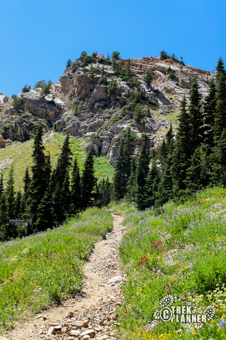
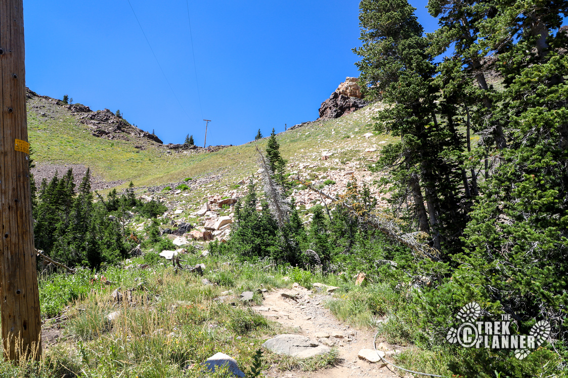
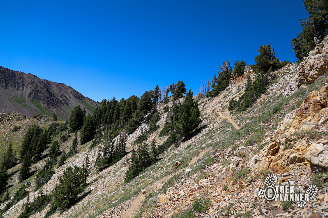
From this point, the trail will be narrower and steeper and will sometimes even disappear if you’re not paying enough attention. You can always download my map though to help guide you through this part. You will go through one last area with tall pine trees before you begin your ascent to Mt. Superior.

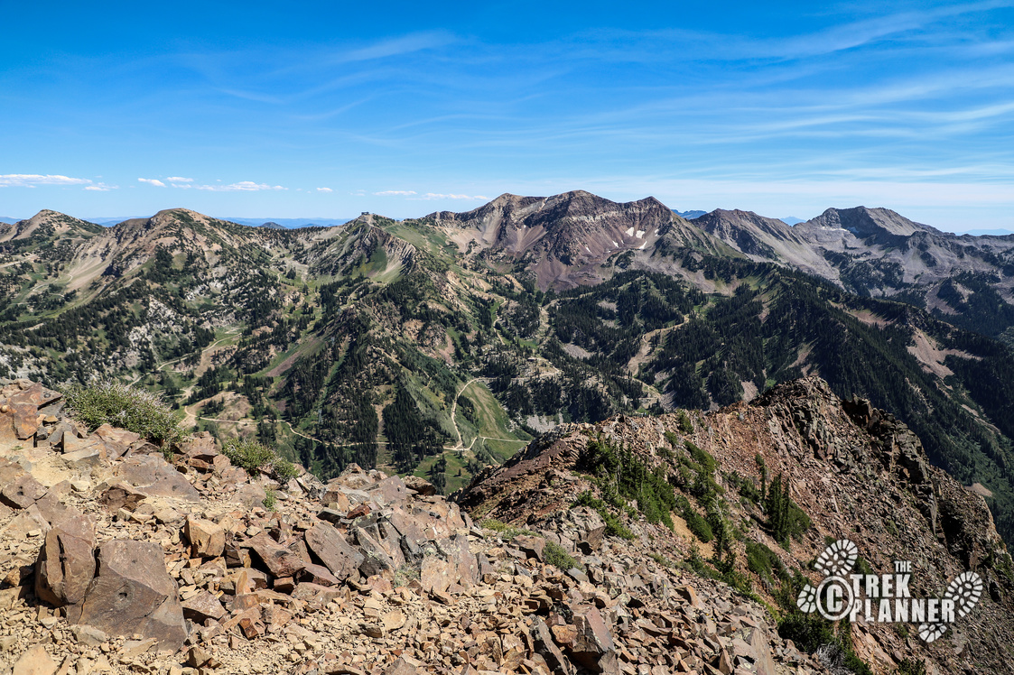
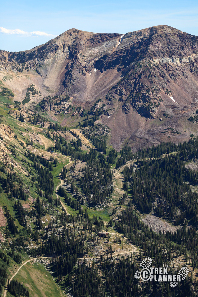
The above picture is Snowbird Ski Resort.
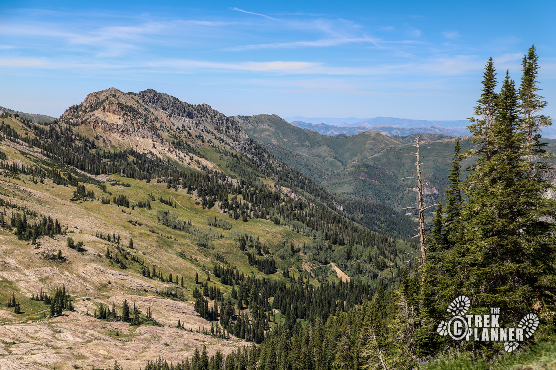
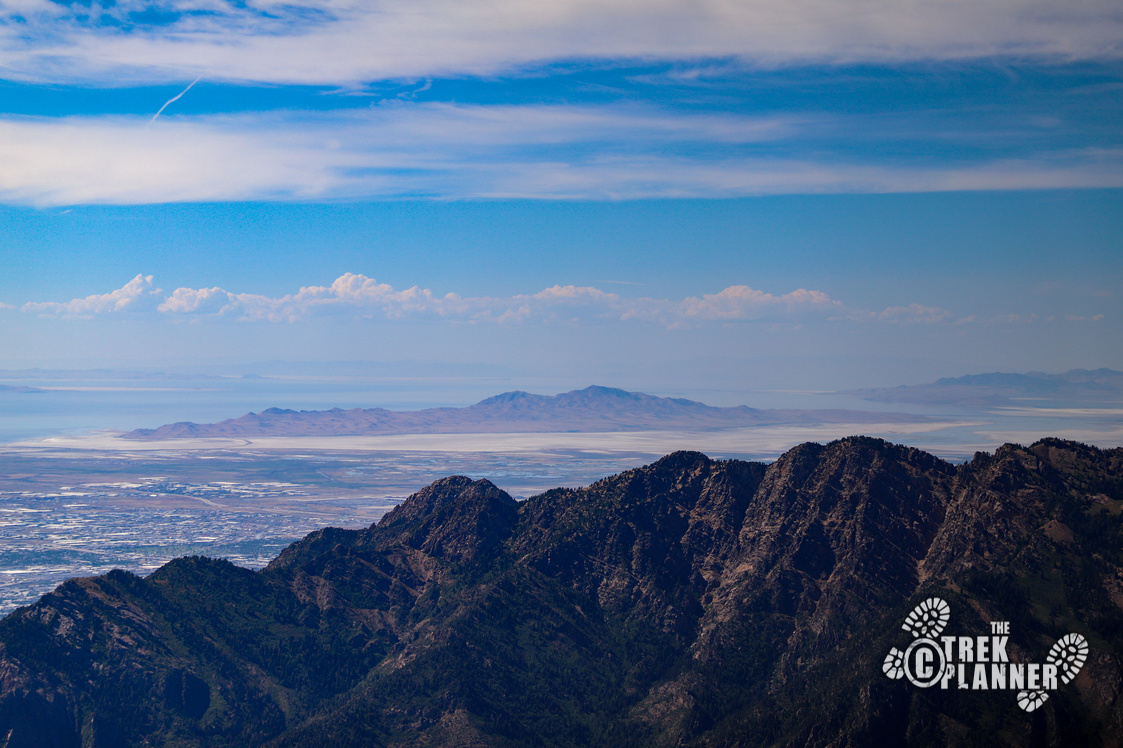
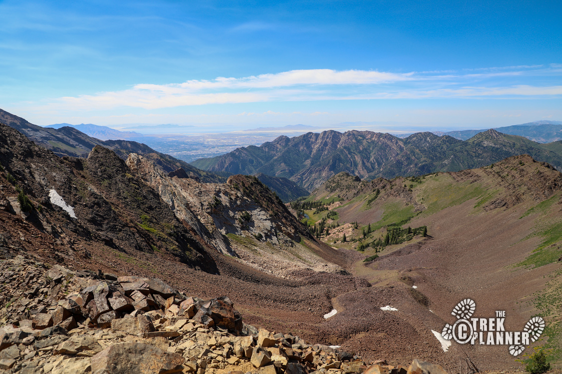
The above picture is looking to the north.
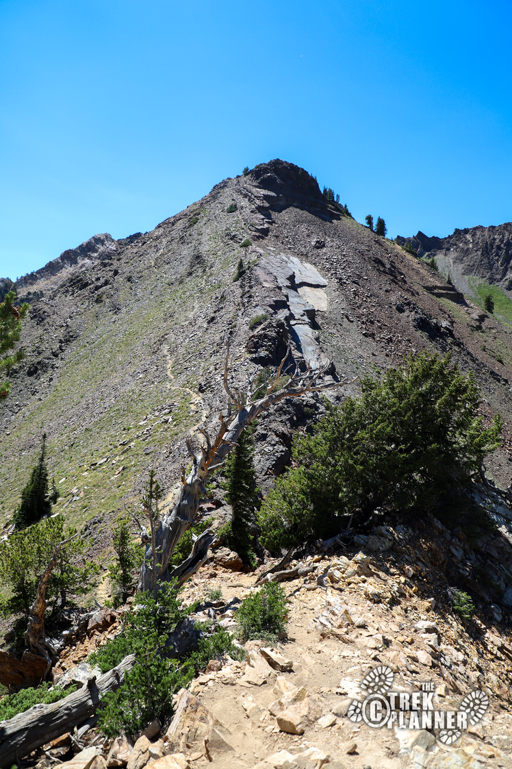
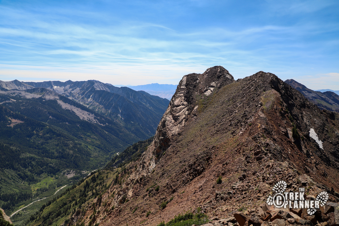
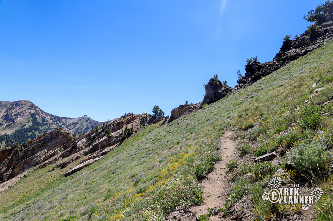
The trail will mostly stay along the ridgeline, but it gets pretty rocky. I found that I should have stayed more on the north side of the ridgeline as the southern side required some minor rock scrambling. Be careful of those you’re hiking with because it’s easy to knock down a rock and see it tumble down.
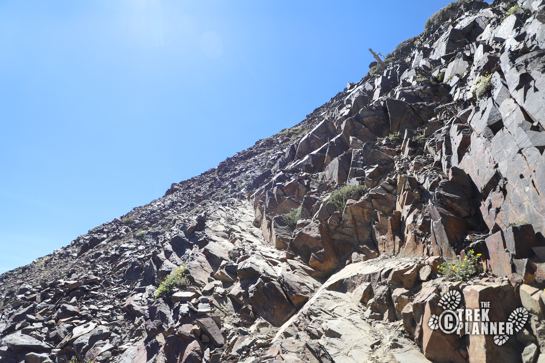
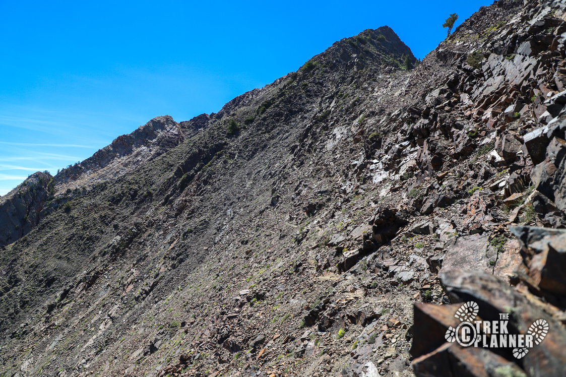
On my map you can see an orange portion. I would try and hike along this route over what I did in the blue. The orange route is a little easier and less exposed, although, there weren’t many spots that were dangerously exposed on this entire hike, you just need to be careful.
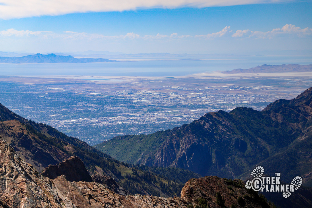
I thought I was nearing the top when I realized I was on a false summit. I hiked a little farther and thought I was at the summit when I realized I was at another false summit. Eventually, you will get to the top of Mt. Superior and be rewarded with incredible views! You can see Salt Lake City, parts of Davis County, Antelope Island, and even far into Summit County.
If you look down in the valley to the north west, you will see a small portion of Sundial Peak where Lake Blanche is located. If you look to the south west, you can see views of Devils Castle and also Sugarloaf Mountain.

The above picture is the unassuming summit of Mt. Superior.

Monte Cristo Peak is in the above picture. The hike to it will probably only add about an extra 45 min round trip.
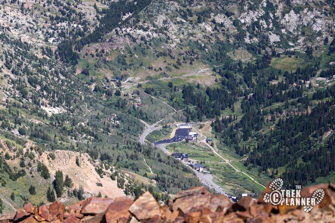
The above picture is looking back to where I parked my car some 2,500 ft below.

Personal Thoughts
I thought I would enjoy this hike a little more than I did. It was a good hike, but it just wasn't as enjoyable as other hikes in the area. The name 'Mt. Superior' is kind of misleading because there are other nearby mountains that are taller, including Monte Cristo. I think Mt. Superior is so called because it will superiorly kick your butt! It's a difficult hike. This was a good diverse hike that requires some minor rock scrambling skills, so I don't recommend it for everyone who isn't comfortable with doing that. On the way down, I was talking to a girl who was just as confused as I was about which trail to take to the top. It seems like there were a lot of people on this trail who were hiking this for the first time. The trail can be confusing, but as long as you follow the ridgeline, you will get to the summit. As always, you can download my trail map to use.


