
The Trek in a snapshot

Trek Planner Maps
Trailhead: 40.63315, -111.72361
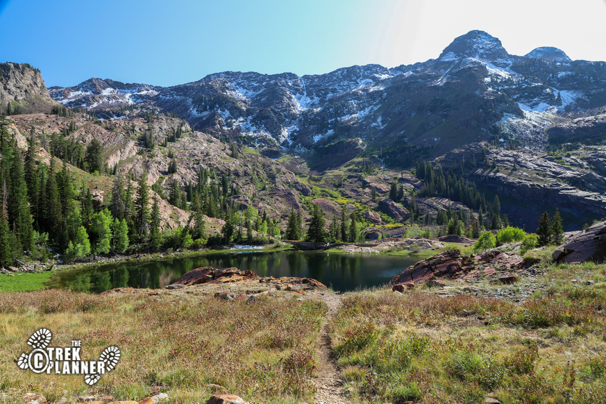
Lake Blanche: 40.60579, -111.6928
Lake Florence:[ 40.60519, -111.69648
Lake Lillian: 40.60363, -111.69751

Experience. Discover. Explore.
Follow along on our adventure then go out on your own!


 This trail is very popular! I hiked to Lake Lillian on a weekday and still saw about 80+ people so imagine double to even triple that on weekends and holidays. This is moose and even bear country so be prepared for that too. This trail passes by Lake Blanche so we will need to get to that lake first and then continue hiking the 1/2 mile to Lake Lillian.
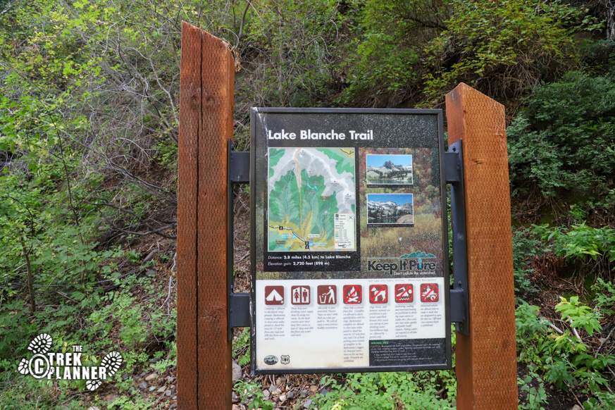
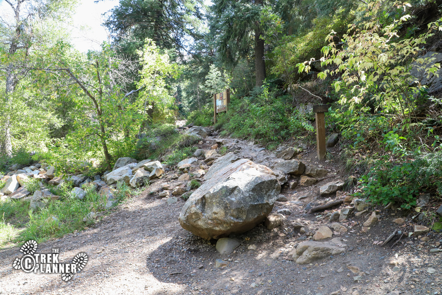
To park, you will want to find the Mill B South trailhead in Big Cottonwood Canyon. There are a few trails that leave from this spot and it does get quite crowded so you may have to park alongside the road. To get to the actual Lake Blanche Trailhead you will need to hike about 1100 ft on the paved path to the east of the restrooms. You will then see a sign pointing to the south where the Lake Blanche Trail begins.
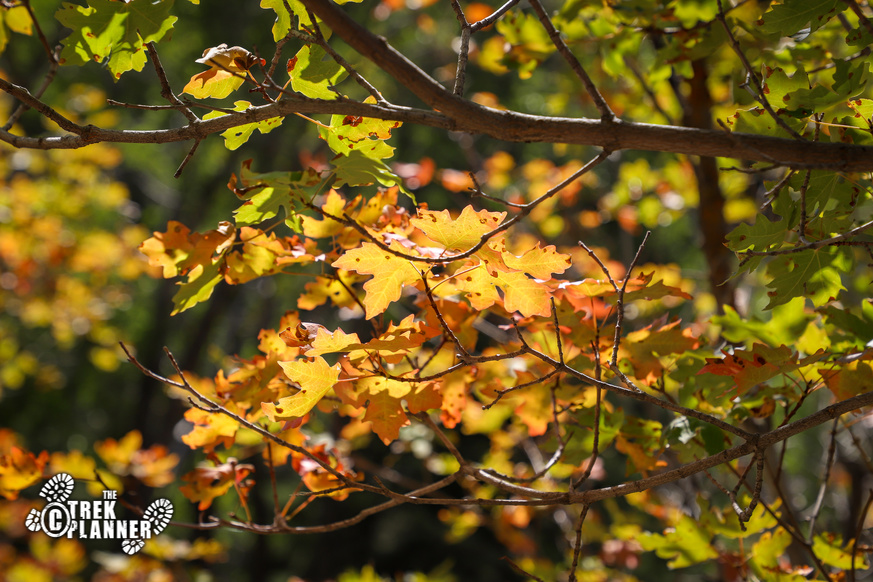
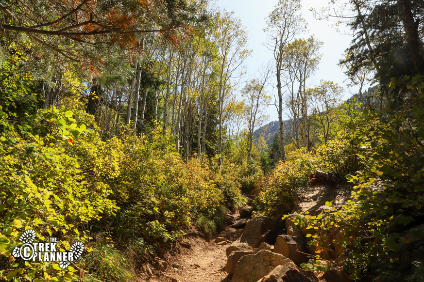
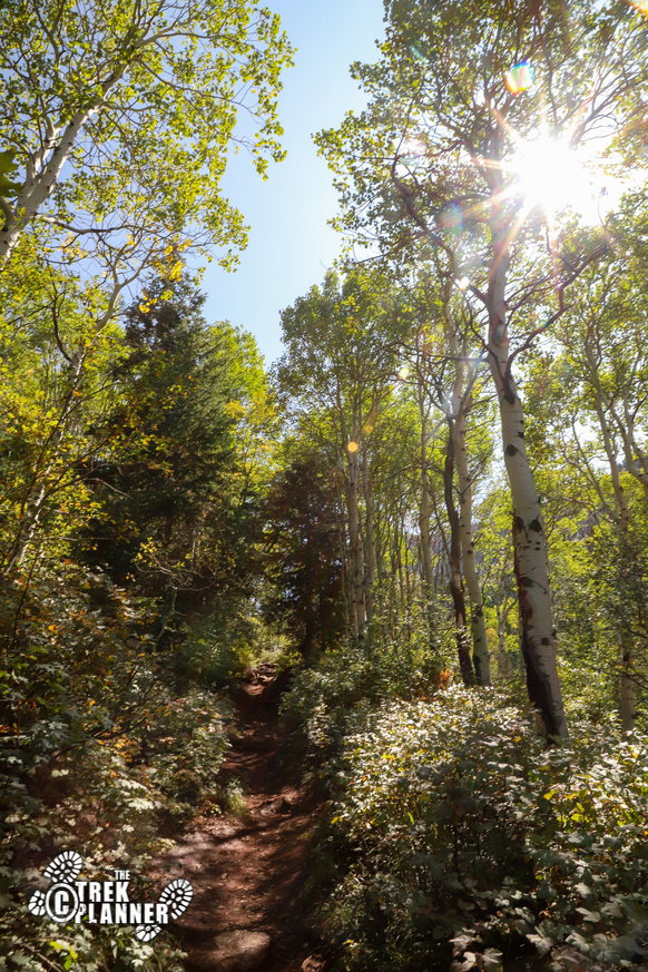
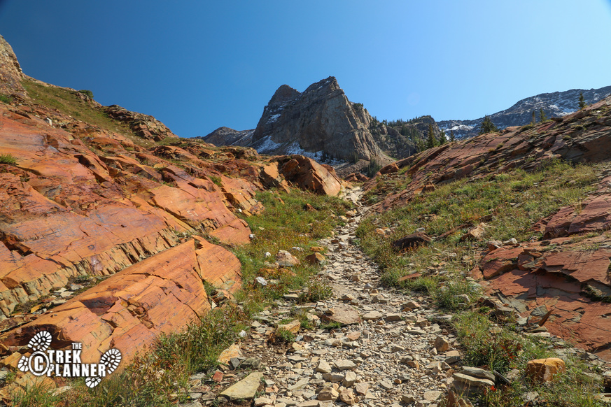
From here the trail will steadily gain in elevation. It isn’t so bad but it’s just a long hike but it goes through several groves of aspen trees and pass by overlooks.
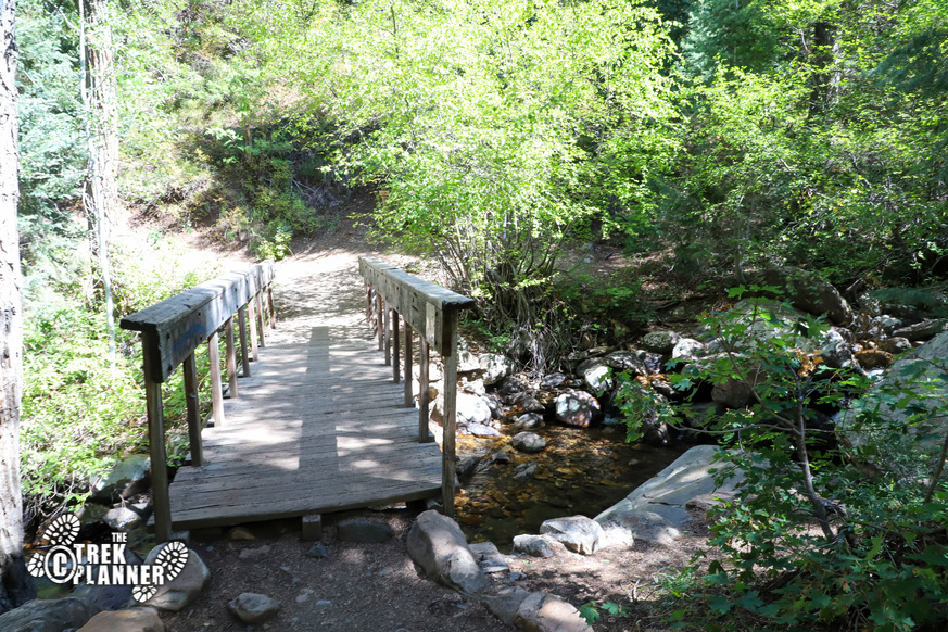
After about 700 ft from the trailhead you will come to the Mill B South Fork Bridge. This is the only time you will pass over the creek so enjoy it while you can!
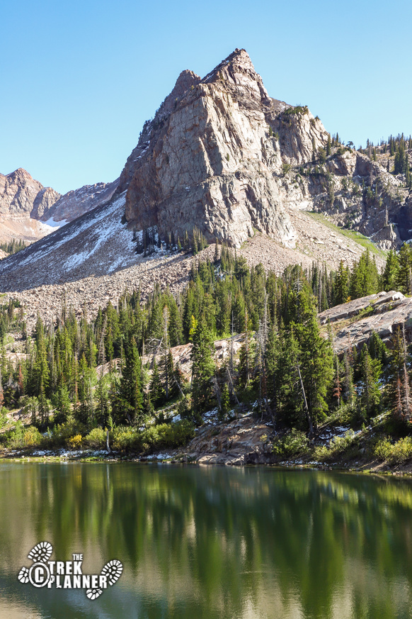
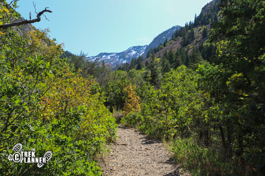
You will then make one large switchback and the trail will straighten out for about two miles until you come to the remaining switchbacks. You can get glimpses of Sundial Peak and just know that Lake Lillian is below it.

The trail is narrow and I was often surprised by how many people don’t know about basic hiking etiquette. You are supposed to yield to uphill hikers, but there a lot of hikers who would nearly bulldoze me and push me in the bushes. I would turn a corner and all of a sudden a group of three people would be coming full speed towards me and I couldn’t get out of the way in time and have to step into some bushes or trees. It was interesting because a few older hiker I saw coming down would stop and allow me to hike up, some would even say “you have the right of way”. Anyway, it’s just something I noticed more on this hike than others. Maybe because it has a lot more traffic.
Back to the trek!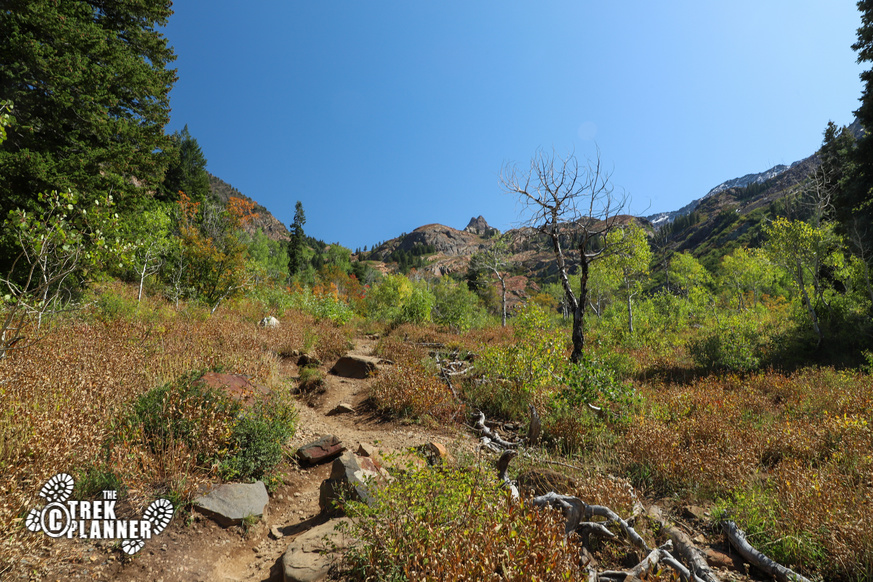
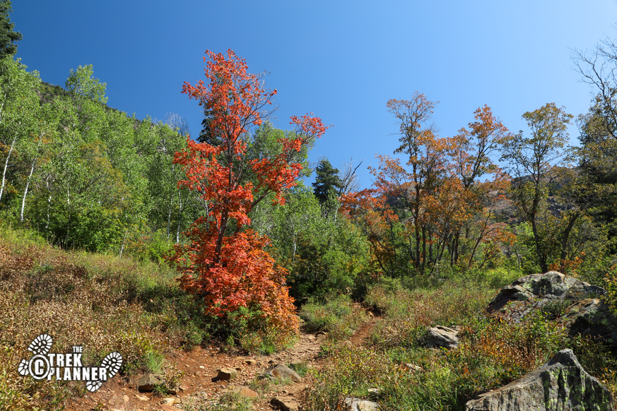
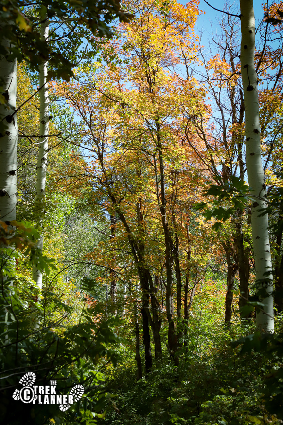
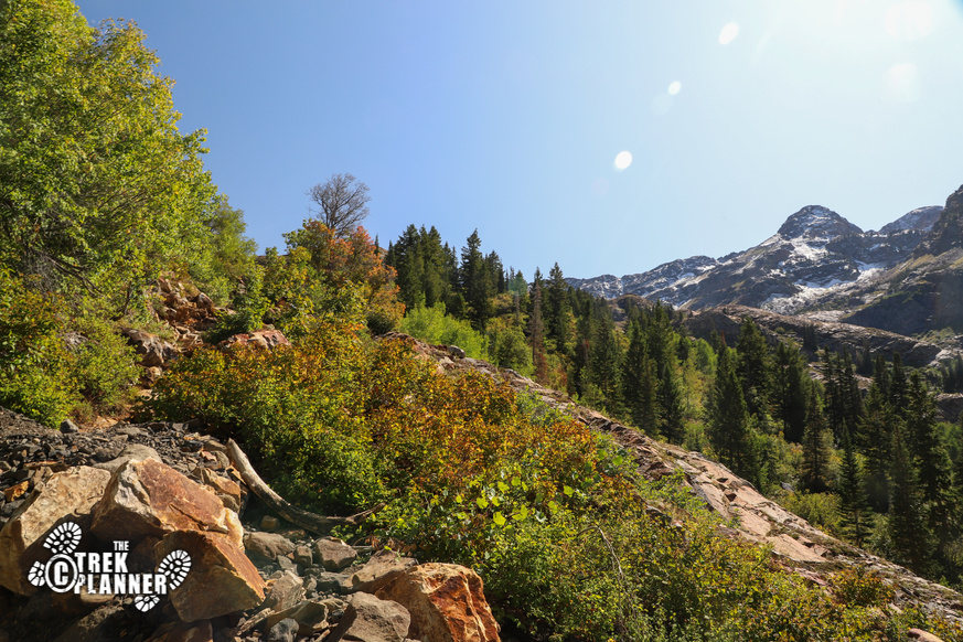
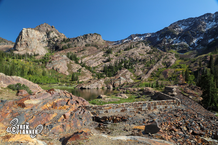
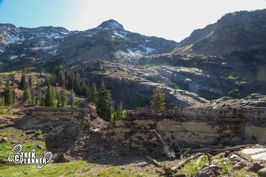
After hiking through scrub oak, aspen and pine trees for the two miles you will come to the last of the switchbacks. The last switchbacks will gain you enough elevation to hike on the east side of Lake Blanche so you don’t have to rock scramble on the enormous rock face that surrounds the lakes. You can see Sundial Peak and know that you are getting very close!
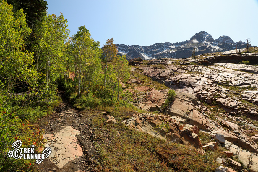
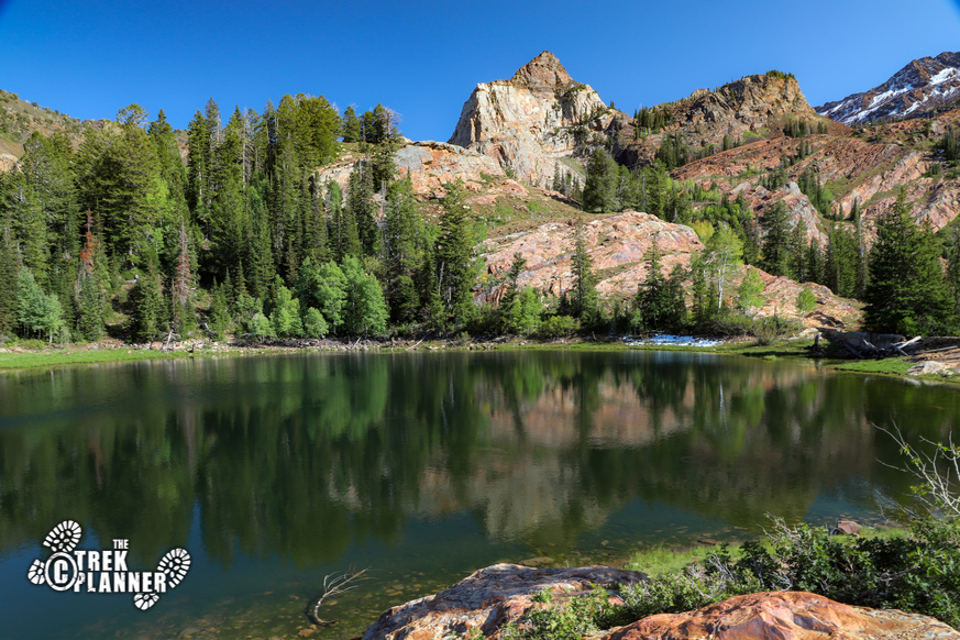
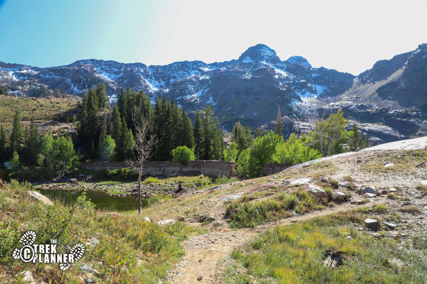
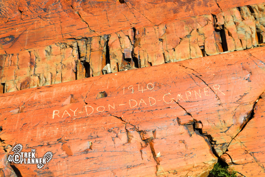
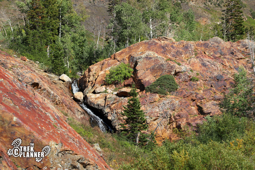
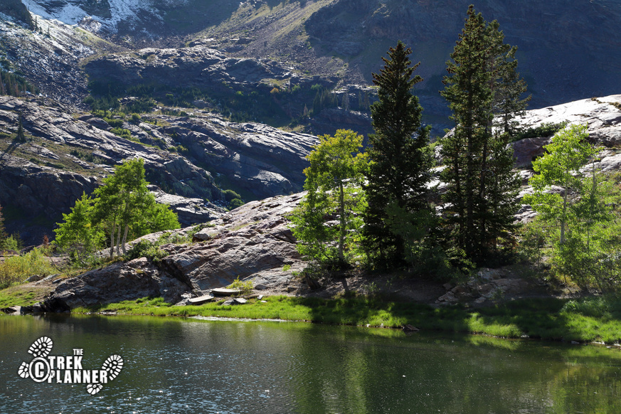
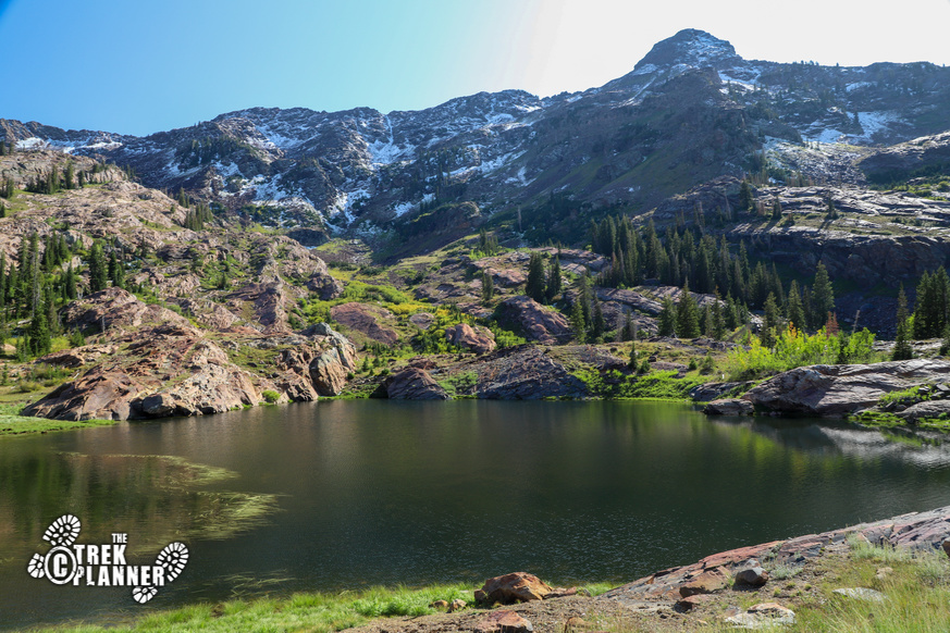
Once you get up to the top you will pass by some rock graffiti and then see part of a retaining wall. This is the north east side of Lake Blanche! The trail will stay on the north side or you can take the east trail to see some waterfalls.
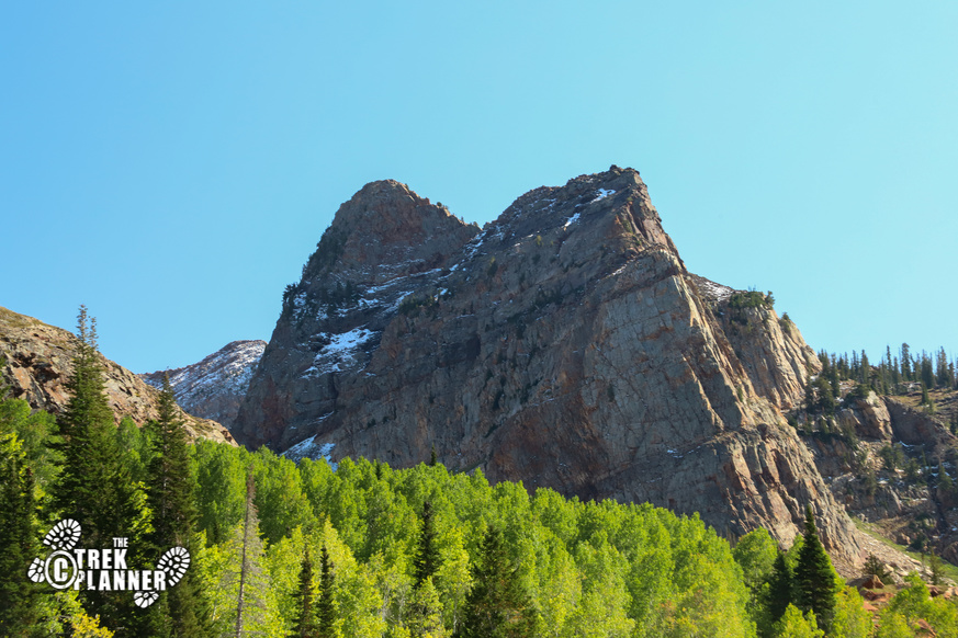
I hiked just a little bit farther until I found a nice smooth rock to sit on and eat lunch. Sundial Peak overwhelms the entire valley with it’s very sharp and pointed peaks. It makes for incredible pictures and you wonder if you have enough energy to get to the top of it…maybe another day!
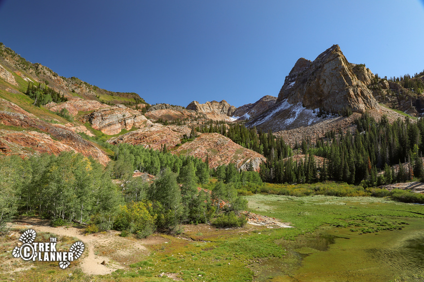
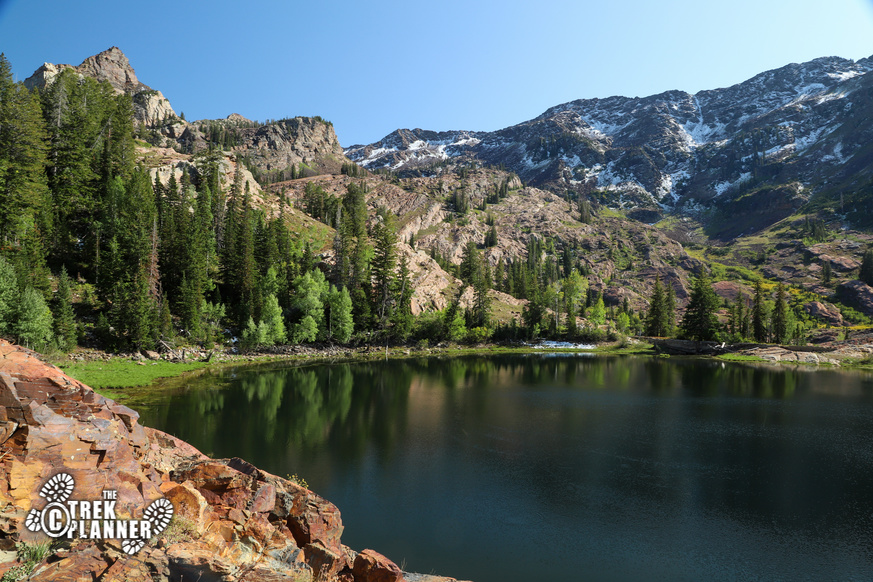
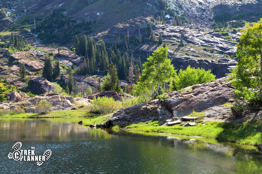
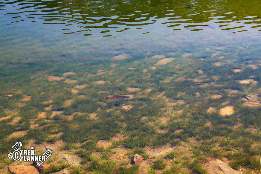
Lake Blanche is the highest in elevation of the three lakes at about 8888 ft. You can see some fish near the banks of the lake. According to the Utah Division of Wildlife Resources (DWR) they stock the lake with Arctic Grayling and Cutthroat Trout. Check out their website for current fishing conditions: Fish Utah
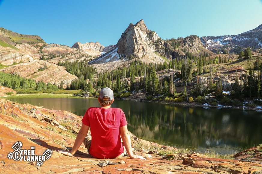
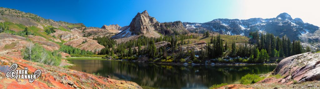
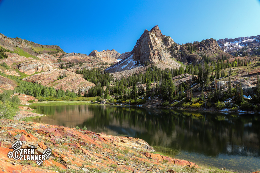

I took a nap here and just enjoyed the peaceful setting. I saw about a dozen other people quietly enjoying the view too. There is a special feeling here. Maybe after the steep hike you are finally relieved to be at your destination but the peaks surrounding the Lakes are quite incredible! You can see Dromedary and O’Sullivan Peaks to the south west. They are the round looking mountains. Sundial Peak of course is the most dramatic from this angle at least.
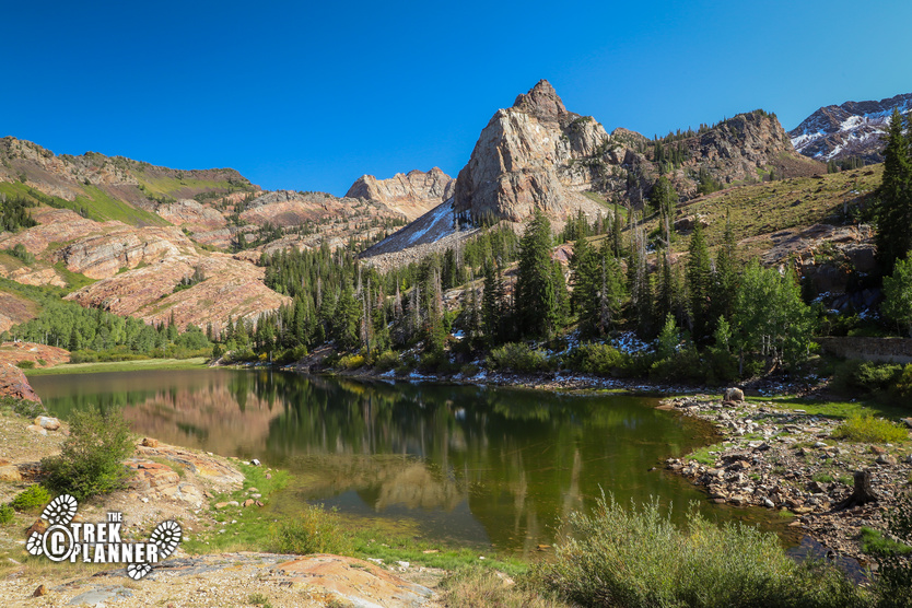
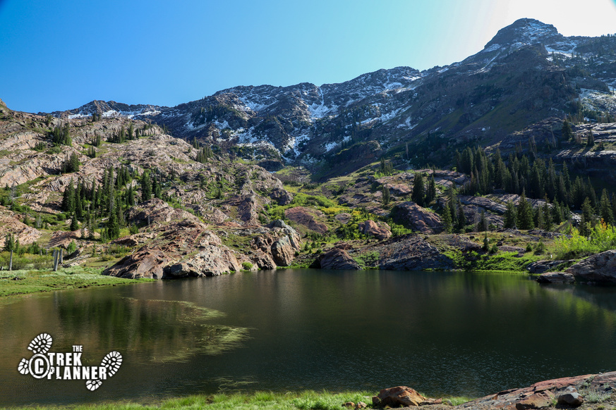
I then hiked the remaining 1/4 mile to Lake Florence to see what this lake has to offer. Lake Lillian is another 1/4 mile beyond Lake Florence and also worth the short walk. Both lakes are smaller than Lake Blanche but still offer incredible views. If you want an even quieter place to relax then go to these two other lakes.
There are multiple spur trails that go to Lake Florence and Lillian so you just pick one and hike towards the lake. Lake Florence offers different views of Sundial Peak and there is a hidden camping site here too.

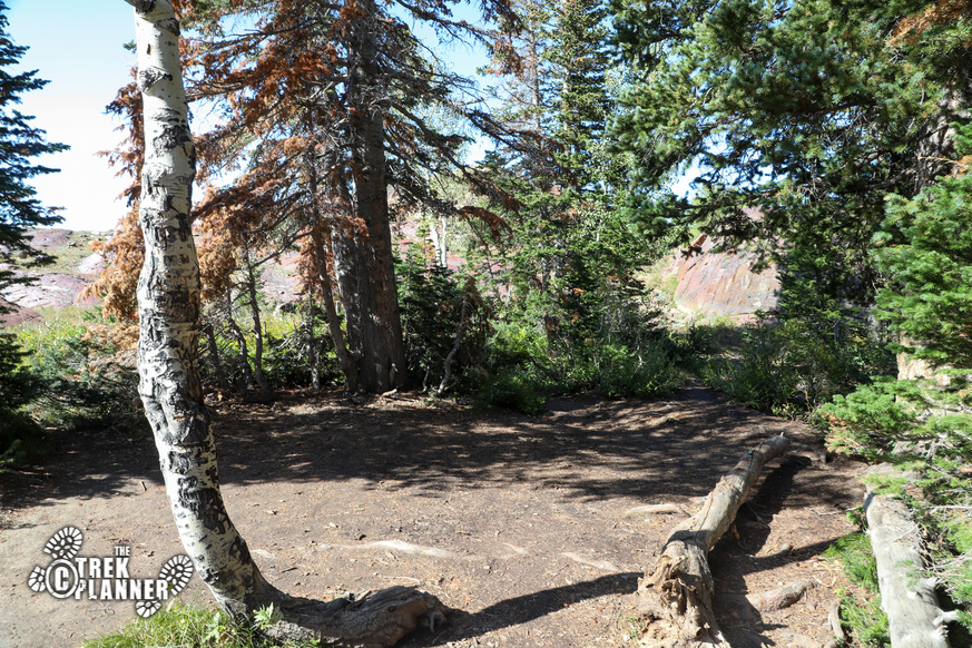
 The GPS for the camping spot is:
Camping spot location GPS coordinate is Trek Planner Insiders only
(memberships are currently unavailable)This content is locked
The DWR stocks Lake Florence with some Brook Trout. If you walk by the banks you can probably see some. I saw some 6-8 inch trout.
Lake Florence is also surrounded by trees, grassy meadows, and orange-ish rock.

Continue on one of these spur trails until you come to Lake Lillian. It’s just under another 1/4 mile to Lake Lillian. Lake Lillian is just bigger in size than Lake Florence and offers some of the same views that Lake Florence does. I would say it’s worth hiking to Lake Lillian!

Personal Thoughts
Seeing all three lakes on this hike makes the Lake Blanche Trail one of the best in Salt Lake City. Make sure you bring enough snacks and water for this half day adventure!


[…] Trek to Lake Lillian […]
[…] 24, 2019 Hiking Now Reading Lake Florence – Big Cottonwood Canyon, Utah NextPrev […]