
The Trek in a snapshot
Location
Southeastern, Utah
Managing Agency
Unknown
Pets
Allowed
Fees
None
Restrooms
None
Camping
Not allowed
Trail Condition
Dirt trail that disappears about half-way through. There is some minor rock scrambling
Sights
Eagle Eye Arch, carved stairs
Water Info
Bring a bottle of water if needed
Best Season
All
Distance
About 0.70 mile roundtrip
Time Required
30 minutes roundtrip
Parking Elevation
4425 ft
Summit Elevation
4568 ft
Elevation Difference
143 ft

Trek Planner Maps
Trail Map for Trek Planner Insiders only
This content is locked
(memberships are currently unavailable)
GPS Coordinates for Trek Planner Insiders only
This content is only for Insider Members

Experience. Discover. Explore.
Follow along on our adventure then go out on your own!


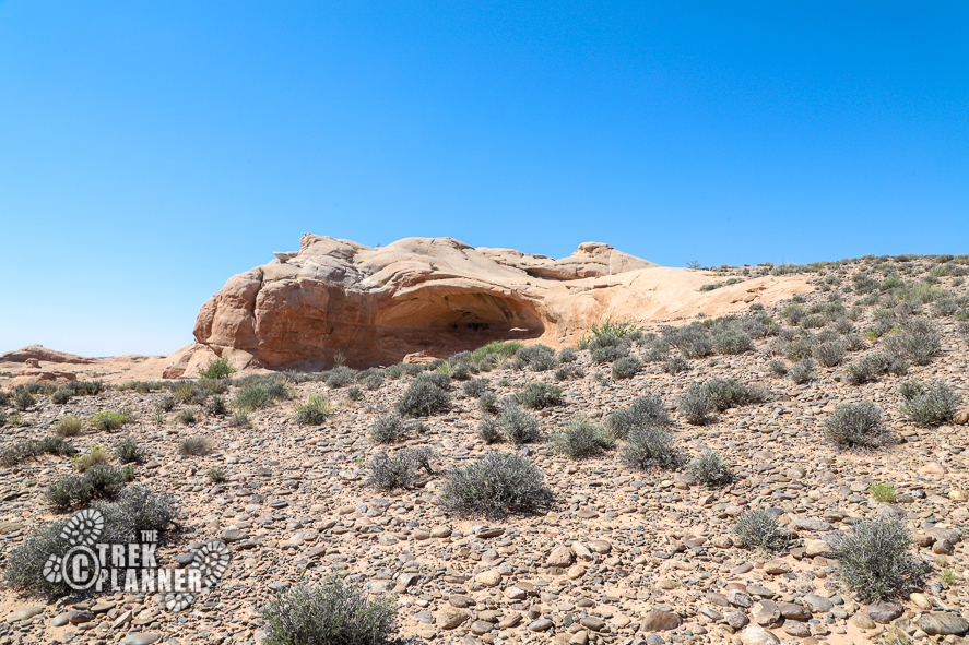
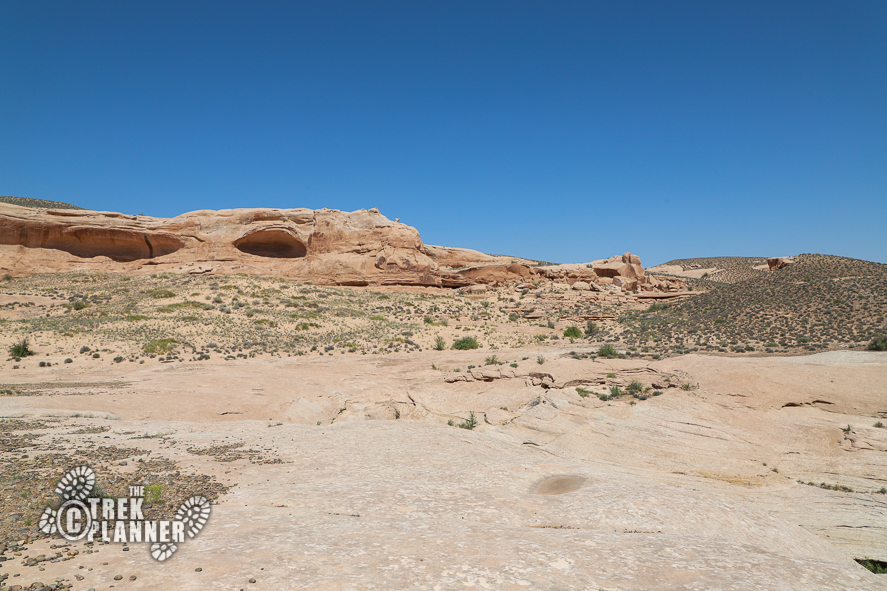
I saw this arch from about a mile away and decided to hike up to it. I think I was at the right spot at the right time because the sun was shining right through the arch and if I wasn’t there at that time, I doubt I would be able to tell that that as an arch.
Anyway, so I grabbed my backpack and camera and headed out! This trail is about 0.4 one-way to the arch, so it’s really not that long and not that difficult.
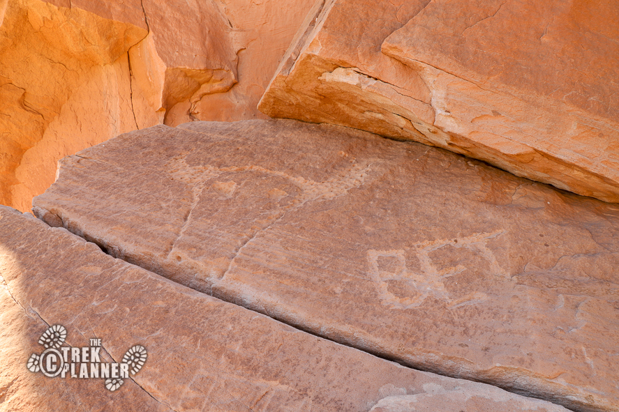
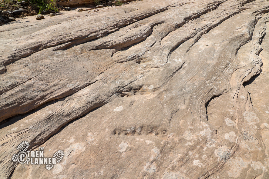
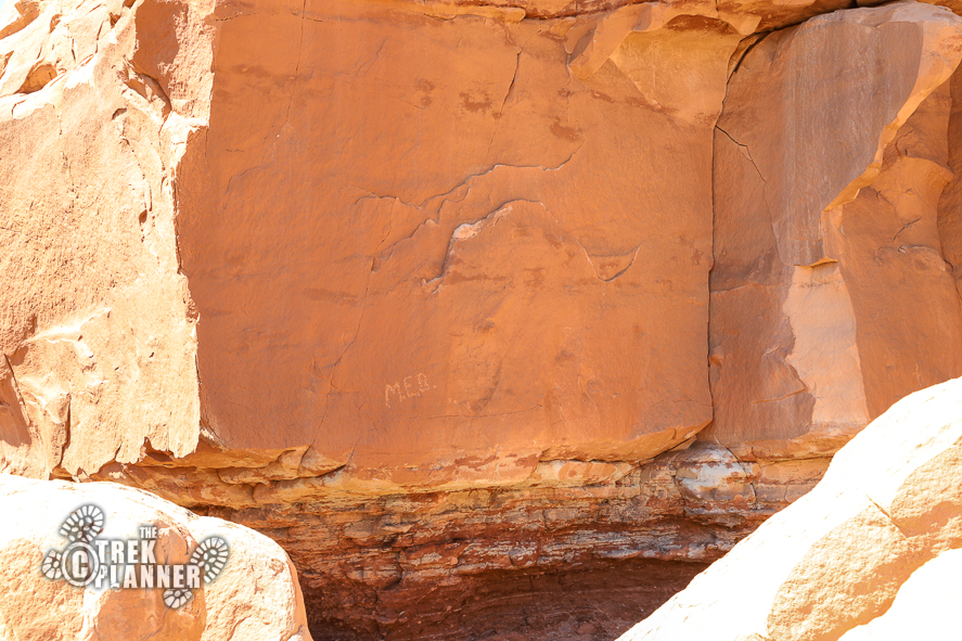
Right from the beginning I saw, what I call, “cowboy glyphs”. These were obviously created within the last 100+ years by a rancher or local. The cowboy glyphs are initials and a depiction of a bull cow.
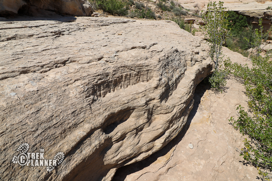
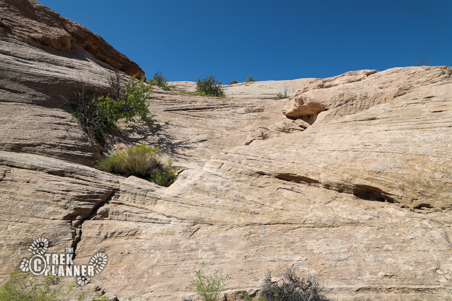
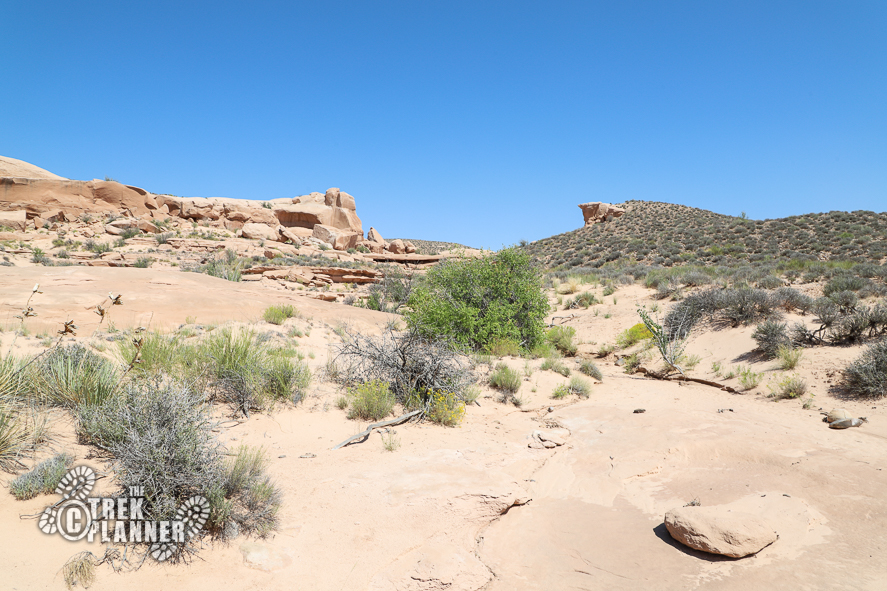
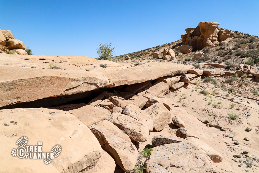
The canyon begins to narrow and I created my own path to get to the top of the first part on the left side. After hiking around boulders and hiking up a ways, I began to notice some carved steps in the rock. There isn’t a set trail for this adventure, so I just found my own and you will need to do the same. The trail got a little steep, but honestly, it wasn’t difficult or dangerous.
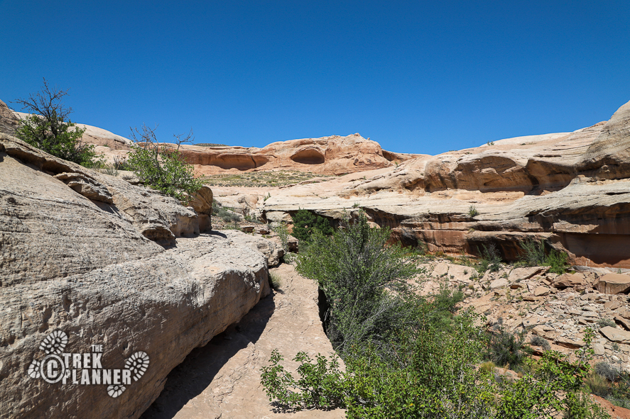
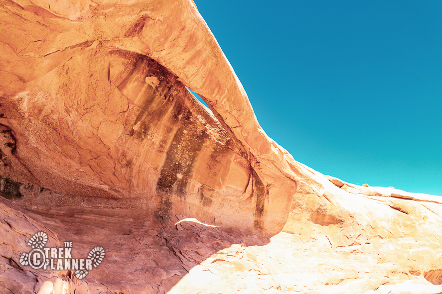
I could see the arch in the distance, but I found that my direct path to the arch needed to be changed. There was a large natural barrier that prevented me from hiking straight up to it, so I hiked around the corner and climbed about 4 ft. to the level where the arch was located. Before that part, I a natural bridge in the middle of a dry wash.
The arch isn’t a big one, but it’s still an arch that you might enjoy seeing. I call it Eagle Eye Arch because at a certain angle, it looks like an eagles or hawks head. The arch has a great vantage point of the entire valley below. It was nice to sit in the shade and enjoy the scenery.
When it was time to head back I scouted around for some rock art, but didn’t find any.


Personal Thoughts
This adventure was totally unexpected and ended up being a great little hike.


