
The Trek in a snapshot
Location
Moab, Utah
Managing Agency
BLM
Pets
Allowed
Fees
None
Restrooms
At the Corona Arch parking lot and Gold Bar Campground nearby
Camping
Not allowed
Trail Condition
You will be hiking on dirt, gravel, and sandstone. The trail is hard to find sometimes, but use my map and GPS coordinates to help you navigate yourself if needed.
Sights
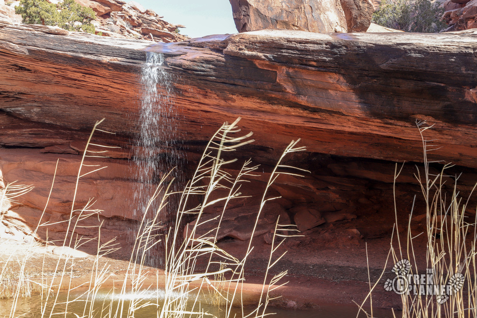
Jeep Arch, seasonal waterfall
Water Info
Bring 2-3 liters of water depending on the season
Best Season
All
Distance
4 miles roundtrip
Time Required
2-4 hours
Parking Elevation
3967 ft
Summit Elevation
4844 ft
Elevation Difference
877 ft

Trek Planner Maps
Trailhead: 38°34’42.75″N, 109°38’10.07″W
Waterfall: 38°34’54.60″N, 109°38’9.09″W
Jeep Arch: 38°35’55.78″N, 109°38’22.58″W

Experience. Discover. Explore.
Follow along on our adventure then go out on your own!


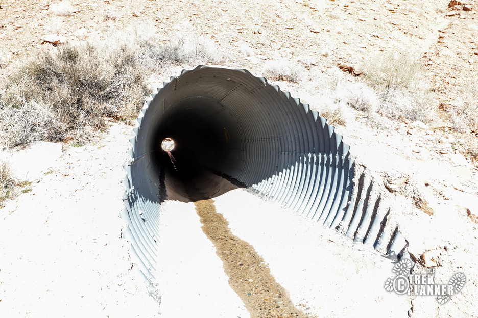
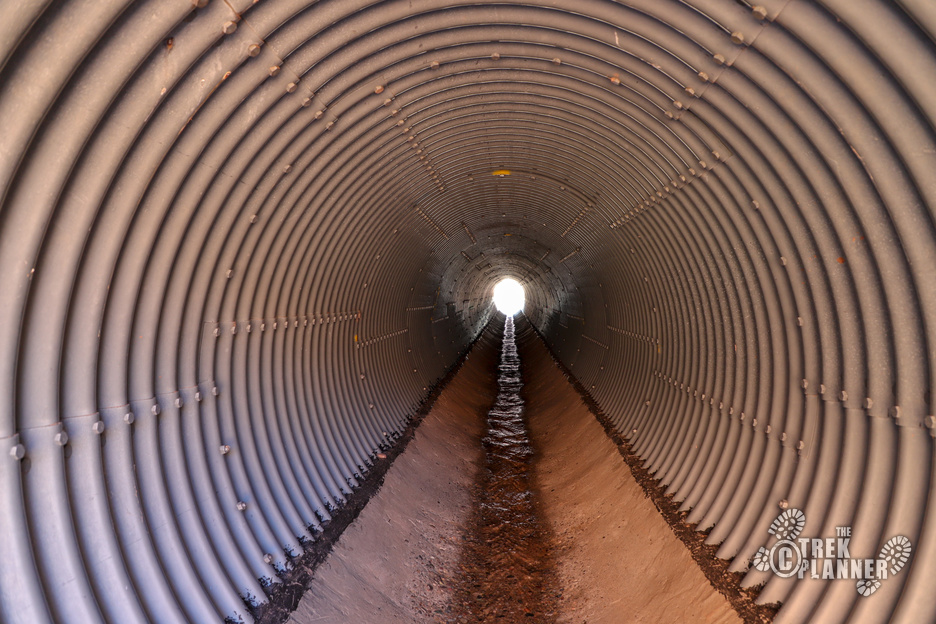
As I was driving down the highway just past the Corona Arch trailhead I saw a large culvert and thought it would be fun to take some pictures of it. I got out of my car and walked through the culvert and quickly realized there is a popular trail here. As I was walking through the culvert, a group of five hikers came by. I asked them what trail this was and they said it’s a roundtrip trail to Jeep Arch. I asked how far it is and one of them accurately said it was about 2 miles to the arch. I already had my backpack and water so I just kept going along the trail!
This hike is right next to the immensely more popular Corona Arch. I think I saw about a dozen people on the Jeep Arch Trail in total.
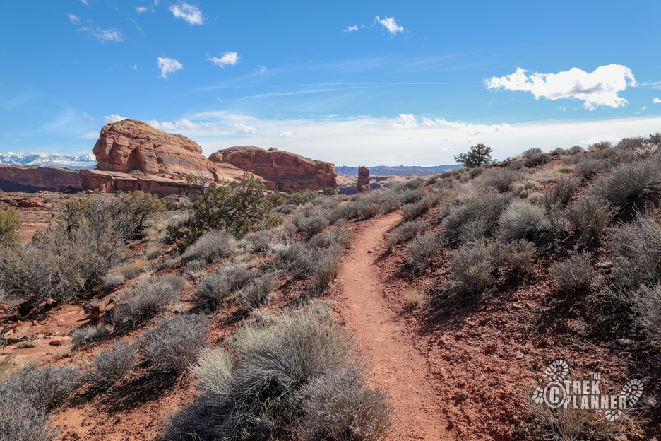
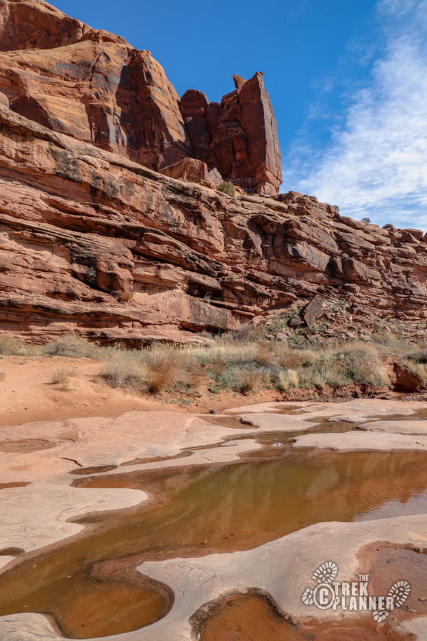
Just after the culvert you will come to a split in the trail. The right trail leads to the waterfall which is down a little ways. The left trail winds up through the canyon until Jeep Arch. I hiked to Jeep Arch first and then hiked through the creek on the way back.
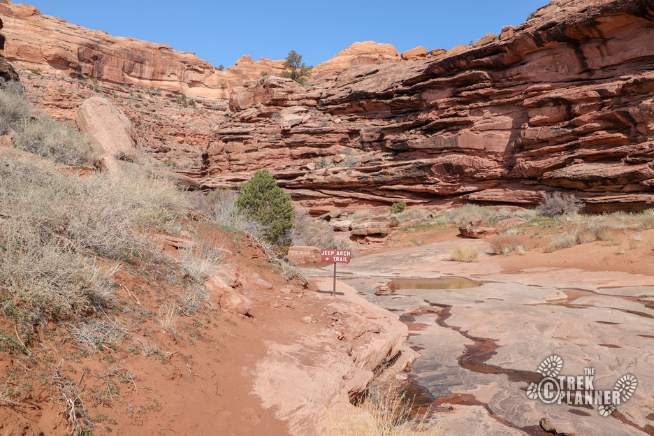
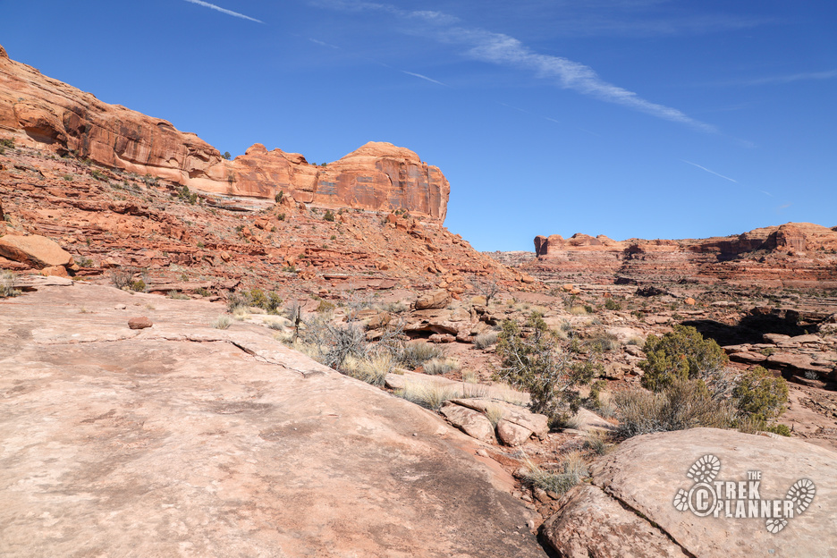
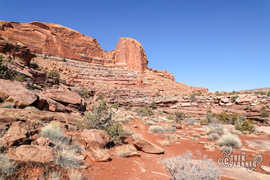
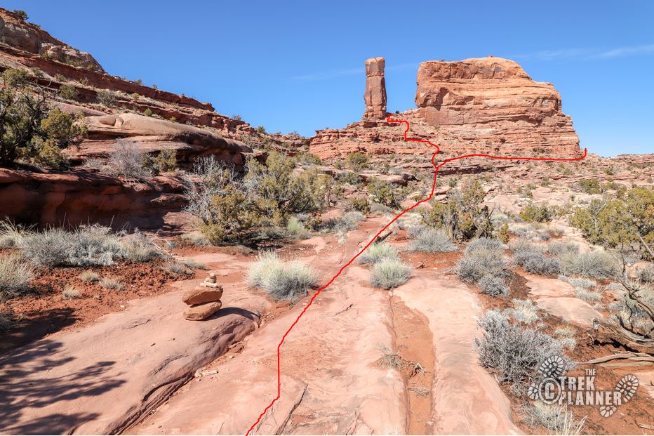
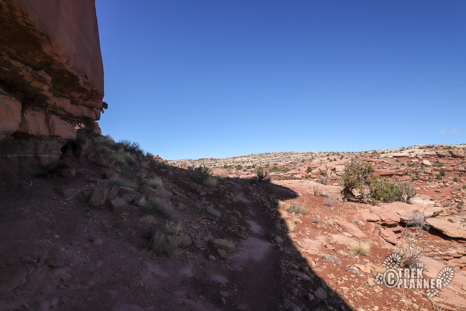
The left trail quickly rises in elevation but it isn’t too bad. I found cairns spread out rather far apart. This is why this Trek is a little tricky at times. As I was hiking, I saw people above and below me on what we all thought was the “right” trail. I asked another hiker if they were on the right trail and they replied “I don’t know!” So, feel free to use my GPS even though it may be slightly off from the actual trail.
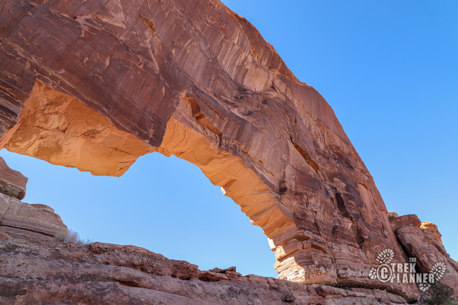
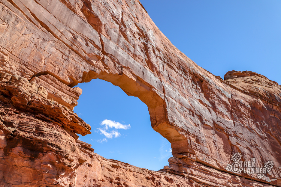
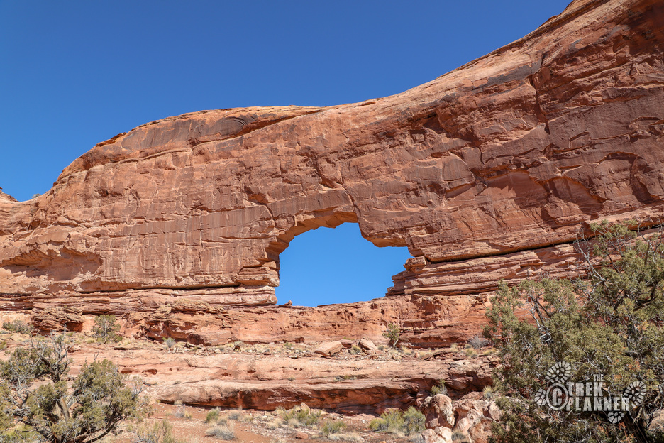
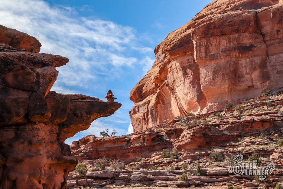
I kept hiking until I saw a giant narrow sandstone pillar in the distance. The trail split to the right or left but I found out later that this is where the trail loops around so you can’t go wrong either way. I hiked right and made my way to the back of Jeep Arch.
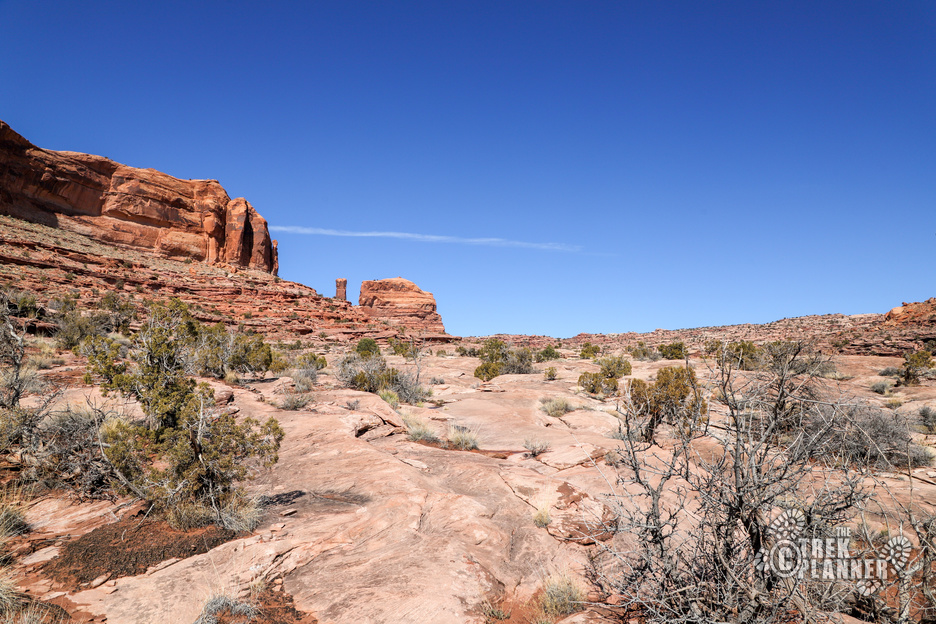
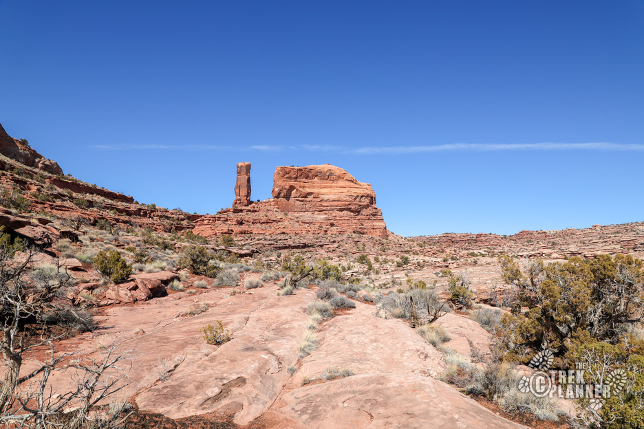
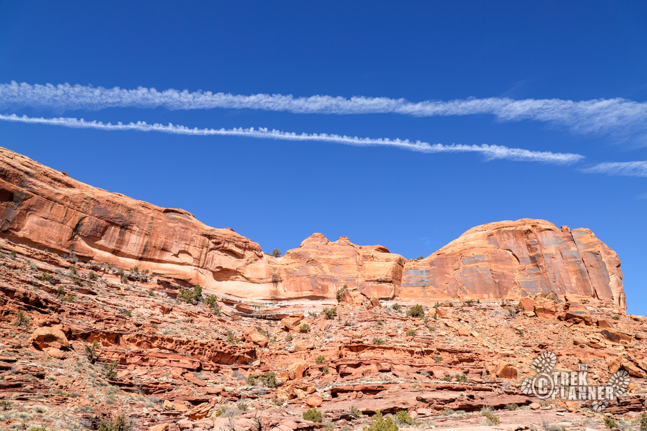
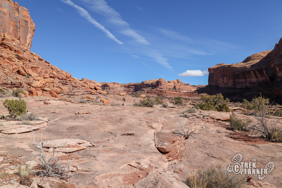
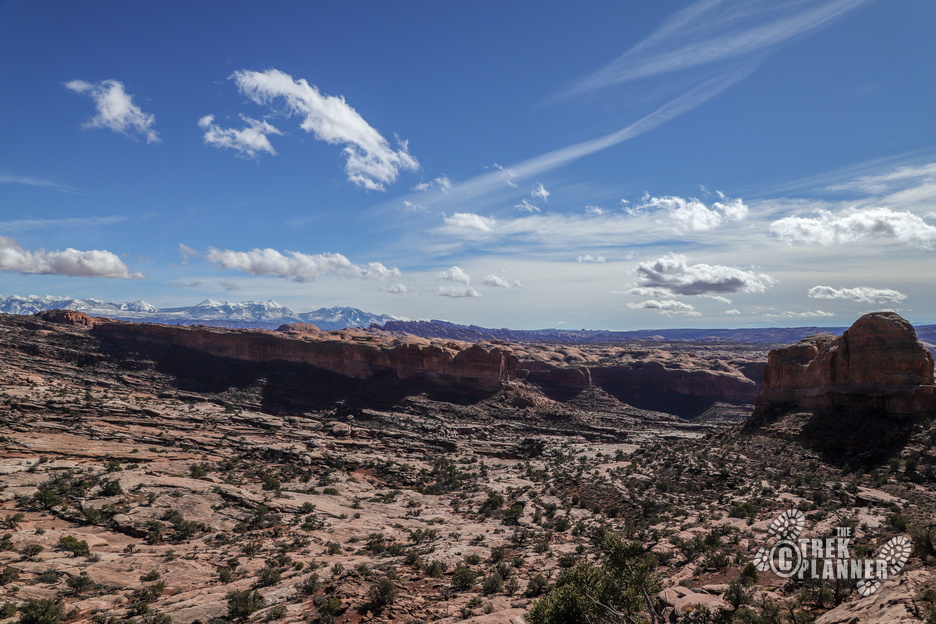
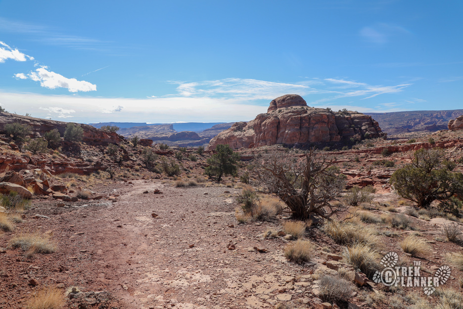
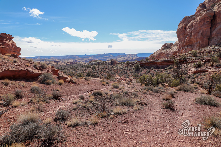
This whole area is beautiful! I loved the peaceful trail and vast desert landscapes.
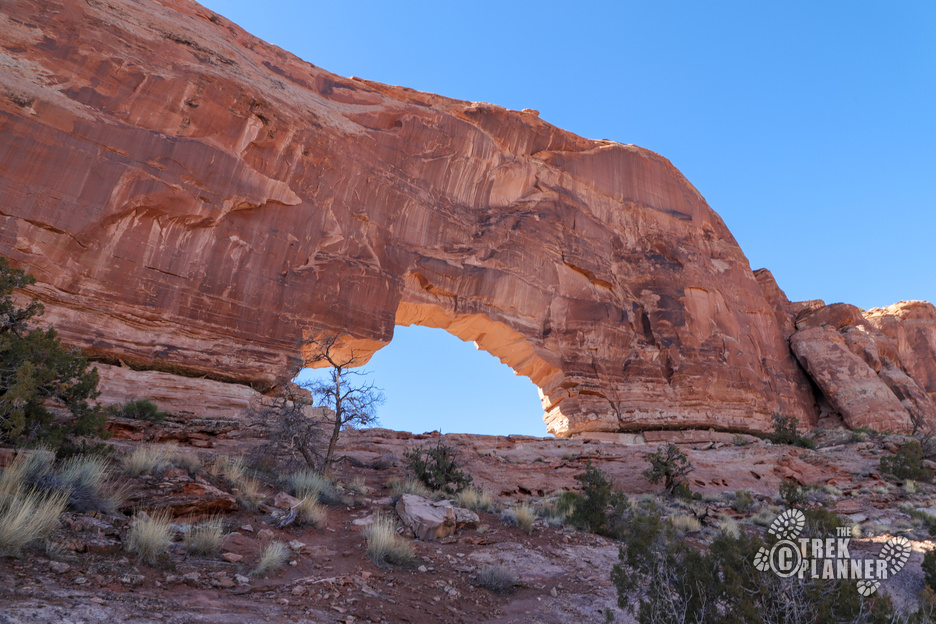
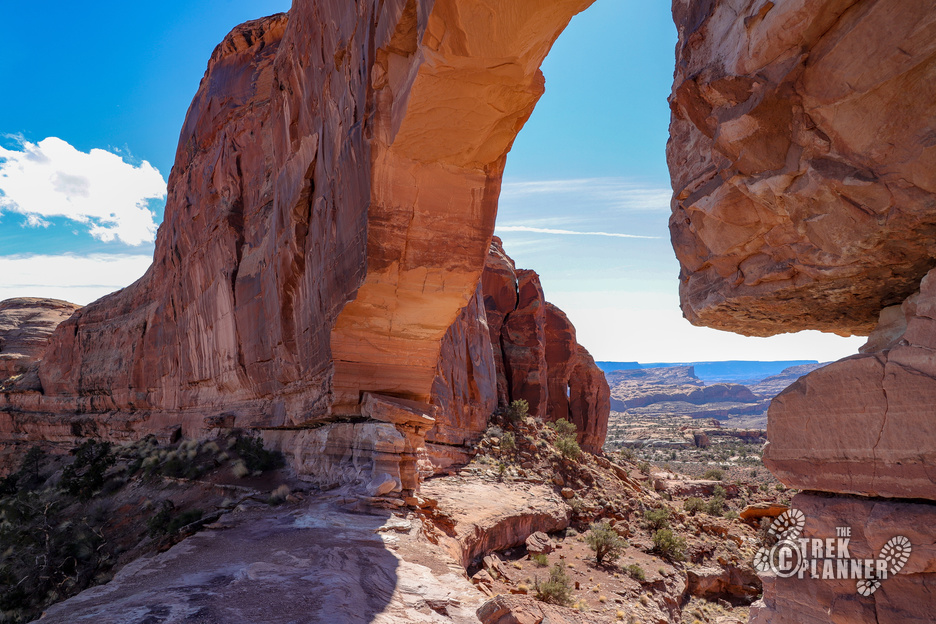
After a little ways you will come to the backside of Jeep Arch. The trail goes right through it and you can see better on the other side why it’s called Jeep Arch – it looks like a Jeep! 🙂 The arch is a pretty good size and it was nice to rest here for a bit and look out over the desert below.
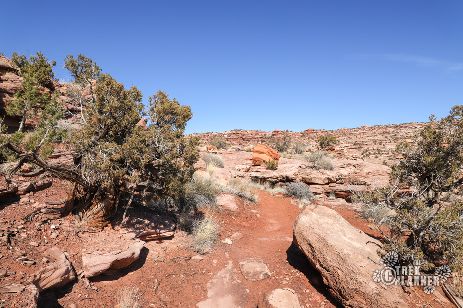
The trail winds down to where the fork was and you just follow the same one back to your car.
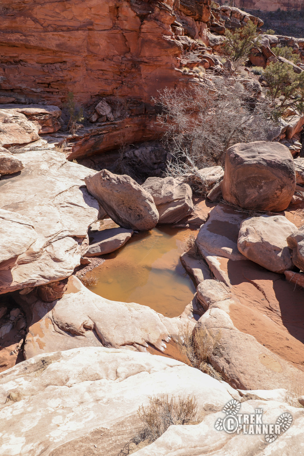
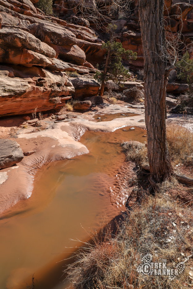
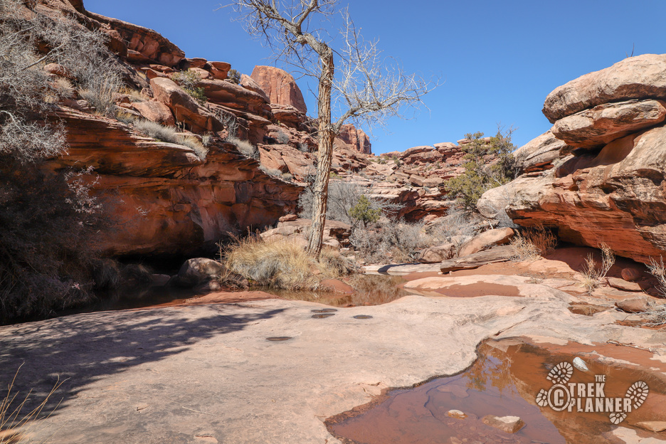
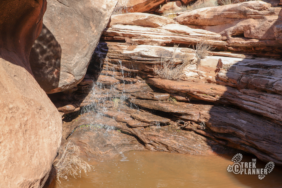
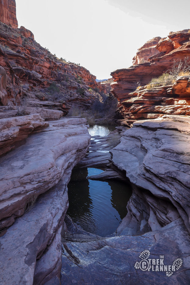
Or, you can do what I did and hike down to the creek. When I hiked this, there was a lot of water coming down. There was still lots of snow in the surrounding mountains and hills so I imagine in the summer it wouldn’t be like this.
There is an easy trail to follow all the way back to the culvert if you just hike with the creek. I saw lots of waterfalls and some pretty big pools along the way.
Personal Thoughts
I was thoroughly surprised to find the Jeep Arch trail by accident. While the arch isn't as spectacular as Corona or others in the area, this hike offered something different than the usual Moab hikes and I loved how peaceful the trail is!


[…] Full Trek […]
[…] Jeep Arch Trail […]