
The Trek in a snapshot
Location
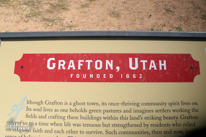
Grafton, near Rockville, Utah
Managing Agency
Unknown
Pets
Allowed
Fees
None
Restrooms
None
Camping
Not allowed
Trail Condition
Easy walking through the ghost town. You will be walking on dirt the whole time
Sights
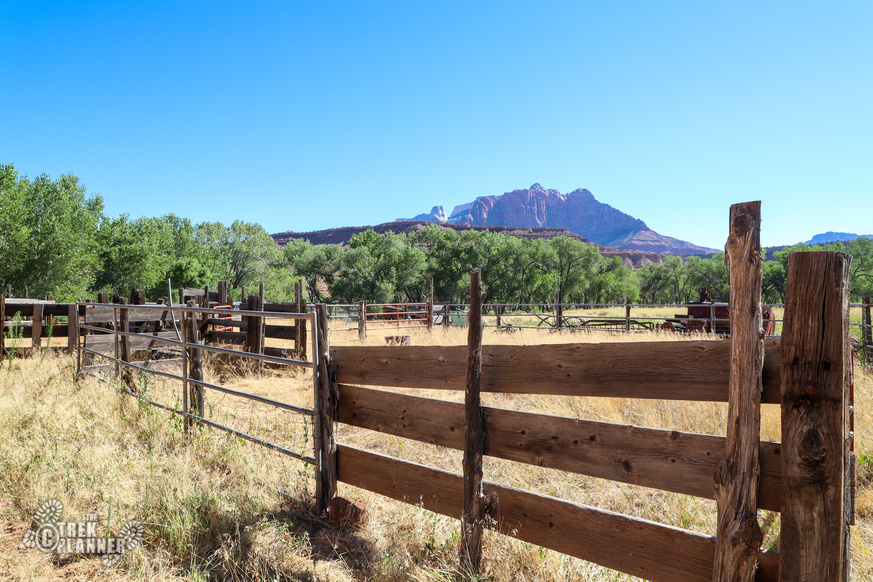
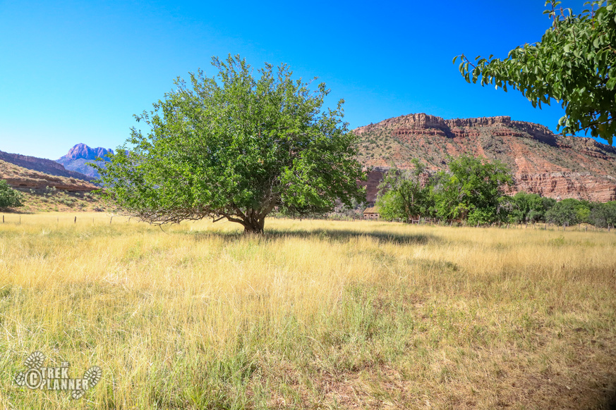
Grafton Ghost Town, many old buildings and structures, old orchards and ranch land
Water Info
Bring a bottle of water if needed
Best Season
All
Distance
I walked about 1/4 mile
Time Required
Less than 30 minutes
Parking Elevation
3673 ft
Summit Elevation
Varies slightly
Elevation Difference
Varies slightly

Trek Planner Maps
Grafton Ghost Town: 37°10’2.48″N, 113° 4’55.43″W
Schoolhouse and Church: 37.16758, -113.08175
Alonzo H Russell Home: 37.16758, -113.08136
Louisa Marie Russell Home: 37.16721, -113.08128
John and Ellen Wood Home: 37.16636, -113.08228
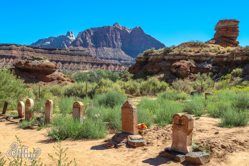
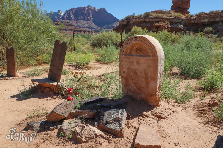
Grafton Cemetery: 37.16306, -113.08082

Experience. Discover. Explore.
Follow along on our adventure then go out on your own!


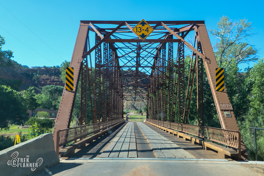
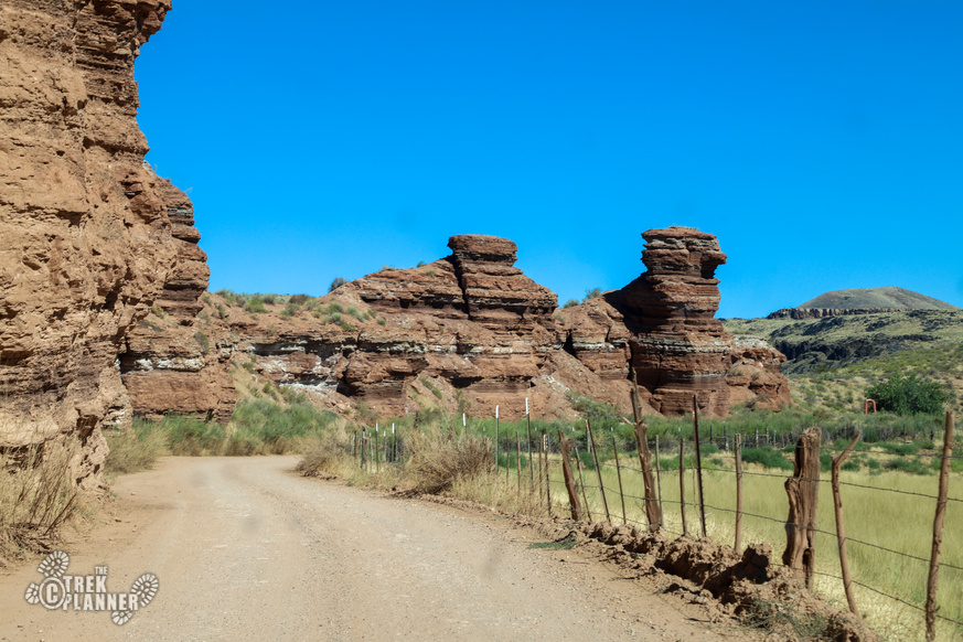
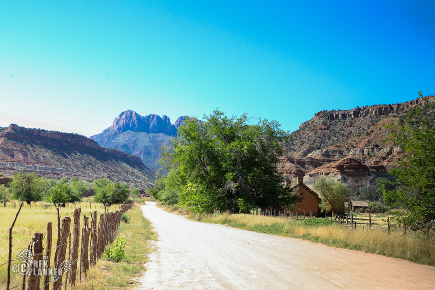
Grafton is a little ways outside of Rockville. You will need to go through Rockville and over the Rockville Bridge. The road will force you to the right and then it will wind around until you come to a fork in the road. The left road goes down 100 yards to the Grafton cemetery. The right road will lead you to the Grafton ghost town.
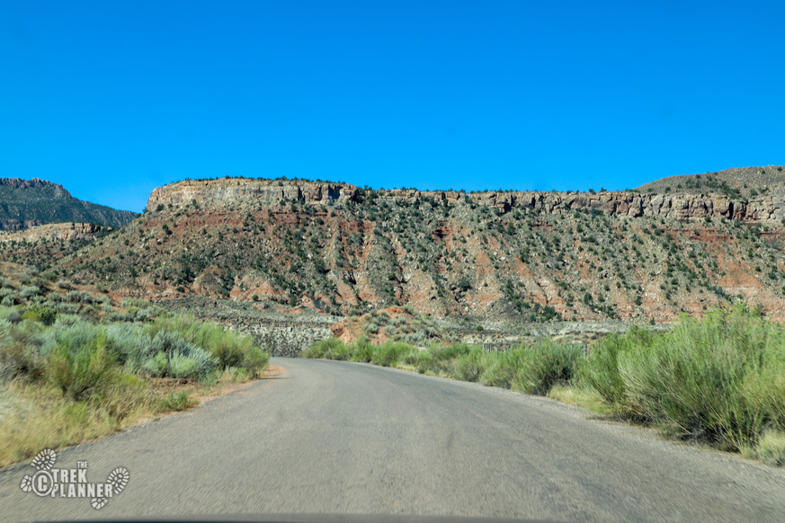
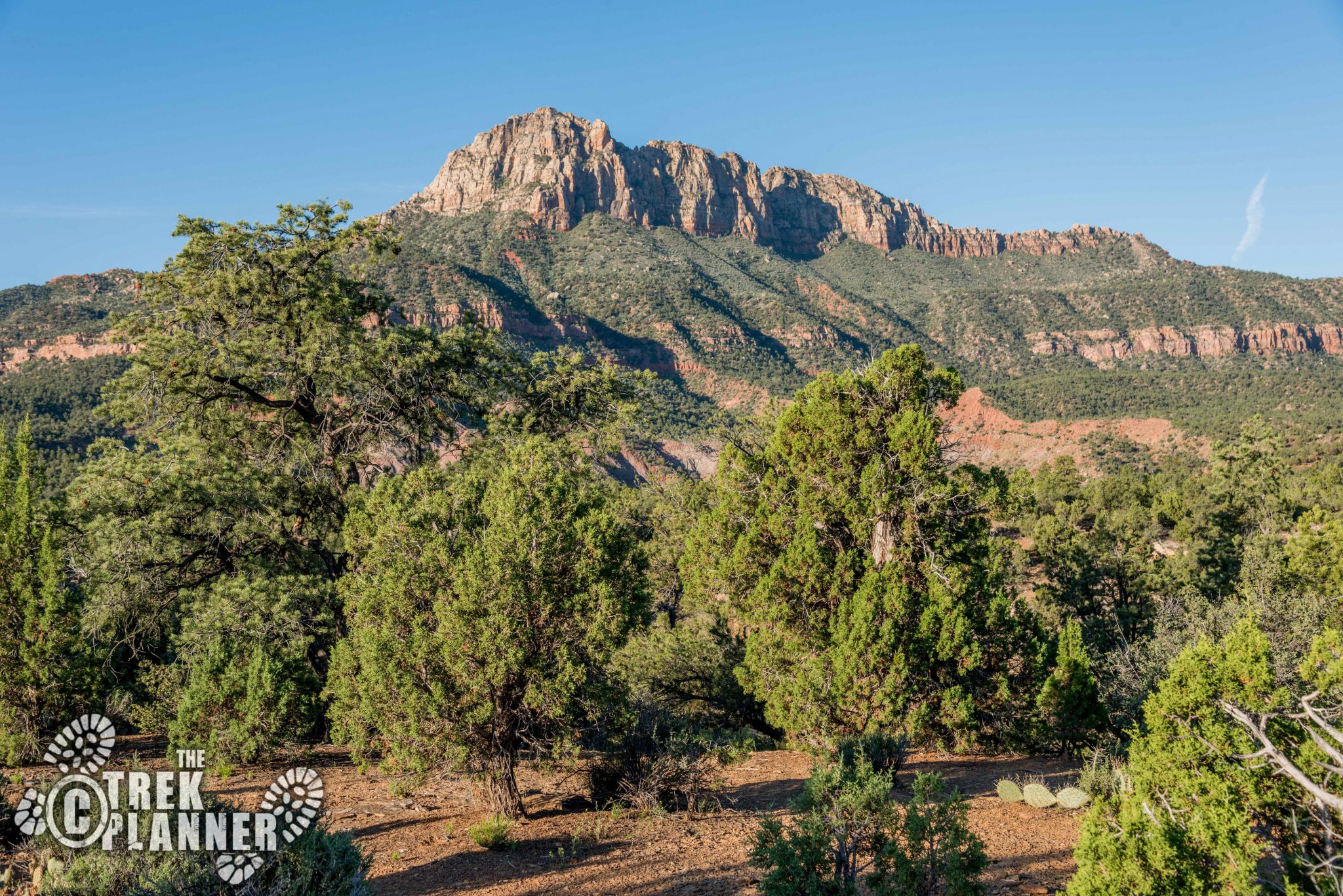
There are signs pointing you to Grafton in Rockville. You will also pass by the famous Smithsonian Butte that dominates the scenery to the south.
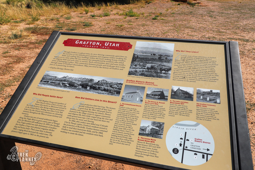
Grafton was settled in 1859 as part of Brigham Young’s, the president at the time of the Church of Jesus Christ of Latter-Day Saints (Mormon), ambitious colonization plan for the West. Five families were chosen and they set out out to make a living off of the land at this location. Slowly, more pioneers began to trickle into the settlement and soon there were 168 people by 1864.
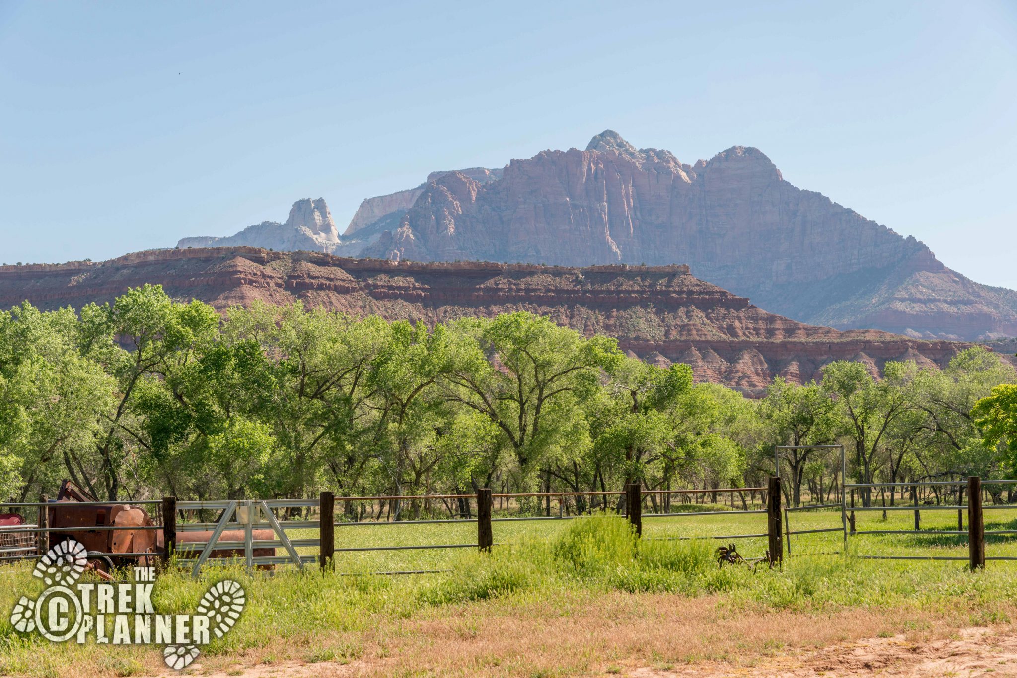
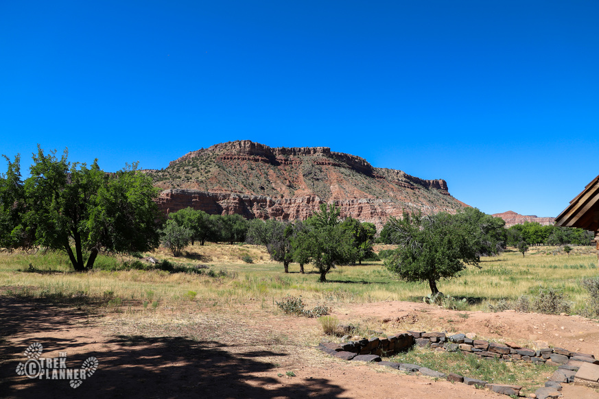
For many settlements in the region including Grafton, the Virgin River provided life-giving water for the settlers, cattle, crops, and orchards. Even though the Virgin River isn’t a mighty river like the Colorado, the river can periodically showcase its devastating power through flooding. The town of Grafton had many floods causing the town to restart their lives more than just a few times.
As a major water canal was completed, the town gradually became deserted beginning in 1906 with many families moving to the nearby town of Hurricane.
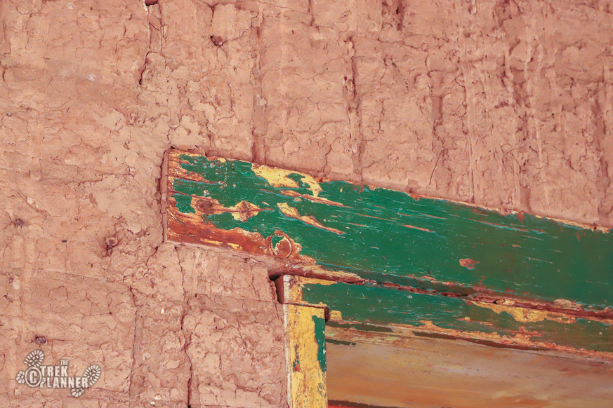
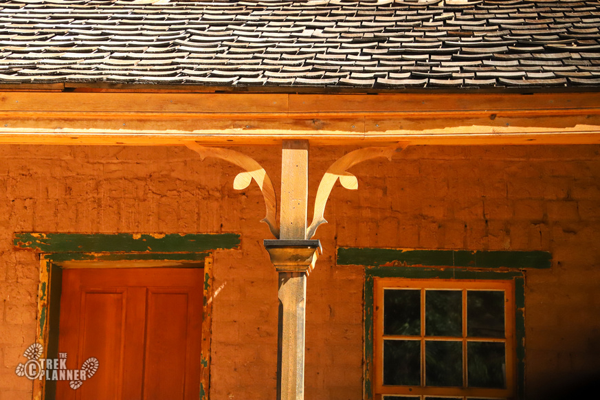
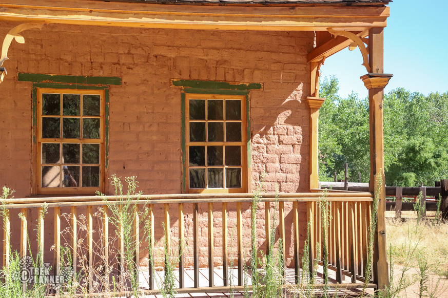
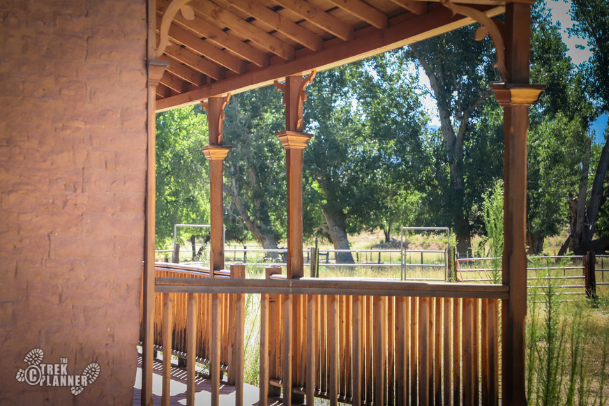
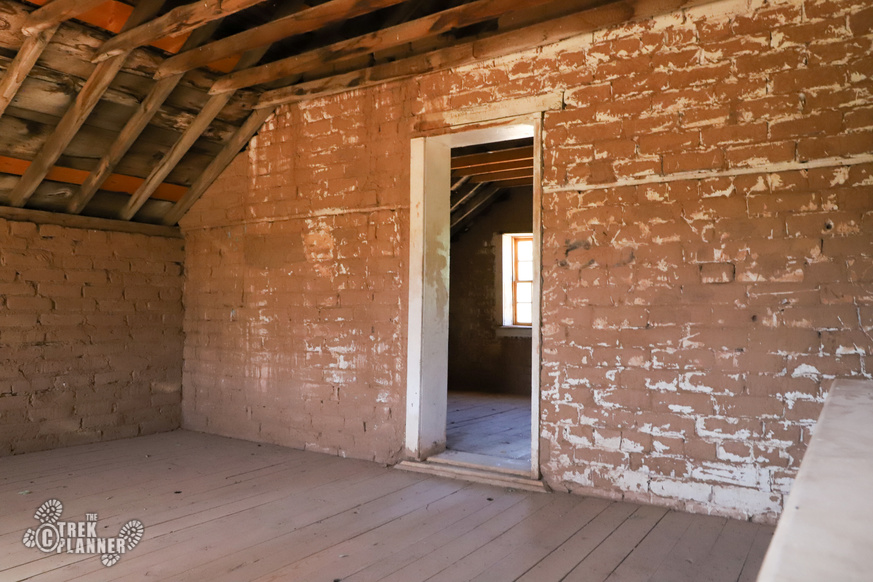
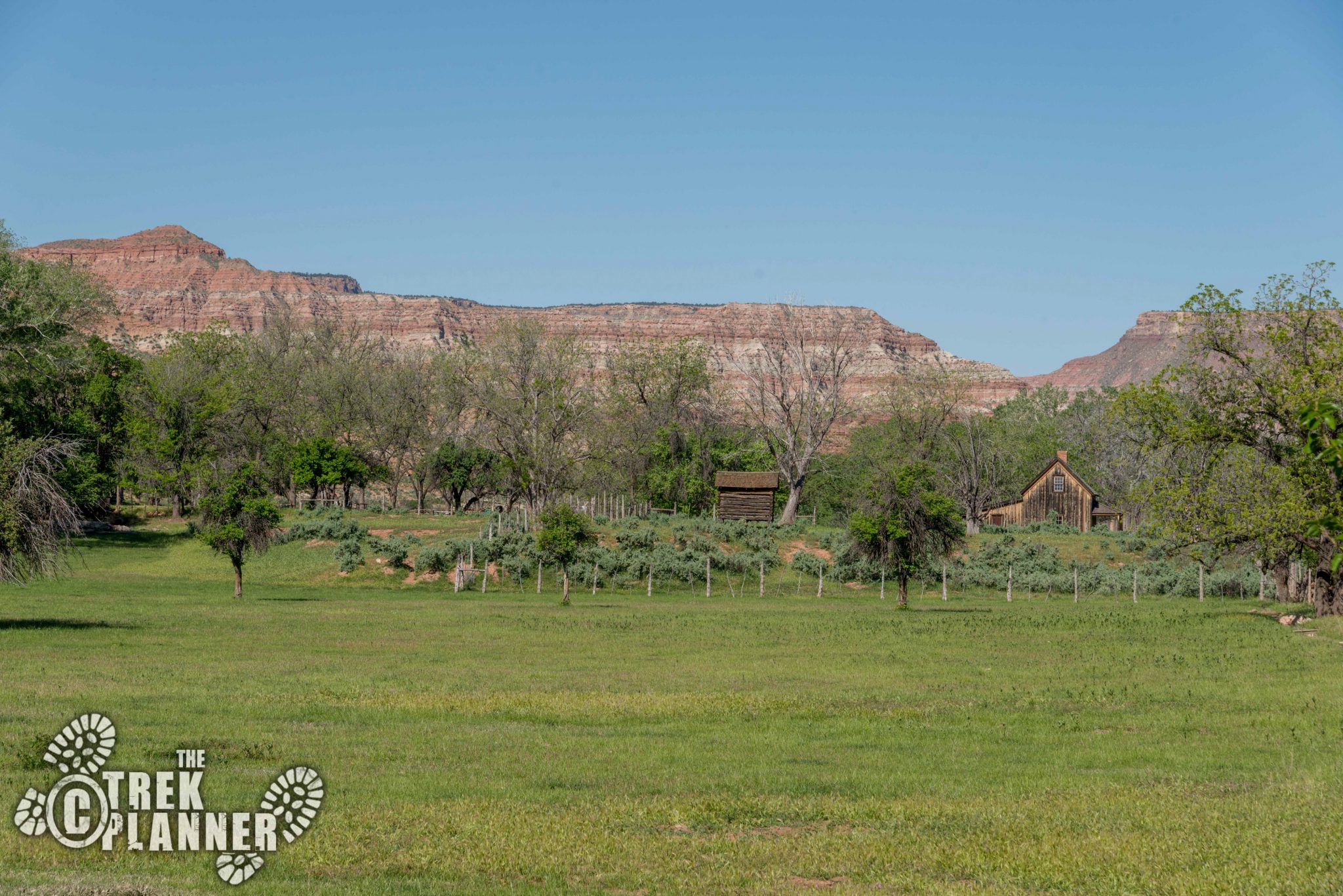
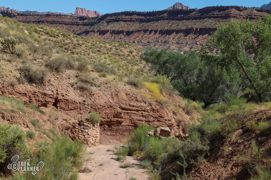
Today, all of the houses and structures are on private land. You are allowed to visit a few of the buildings so it’s not all just a view-from-the-road type of deal. Many of these buildings are still in excellent condition even though they required restoration and stabilization work. Some of the buildings are so well preserved it’s almost as if the residents are out in the fields working and will return later in the day for dinner!
It’s sad I even have to mention this but please do not deface or harm the buildings. You can see some idiots have carved their initials in some of the walls of the buildings. I think we would all like to find out who these people are and go to their homes to spray paint and carve our in initials in their homes too. There are cameras in and outside of the buildings so please be respectful.
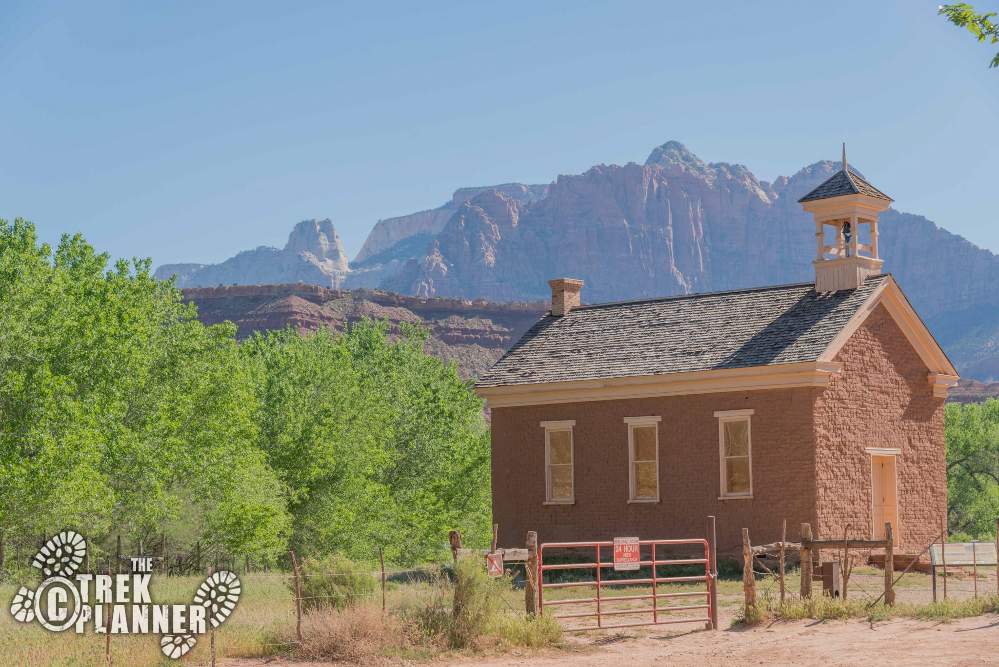
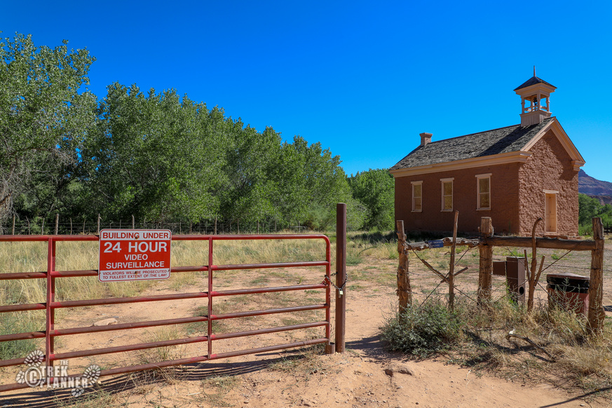
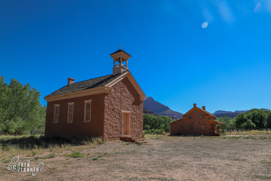
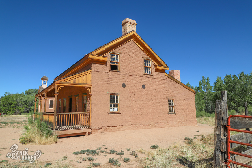
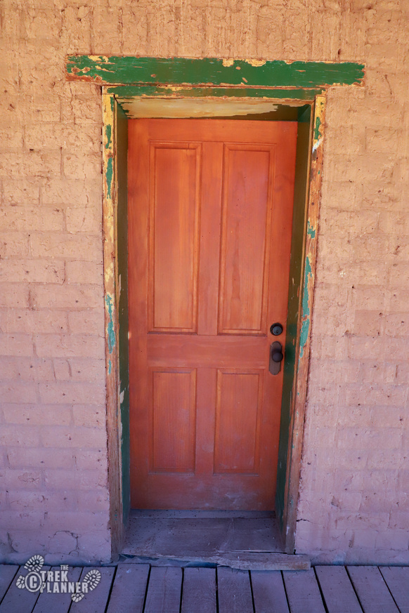
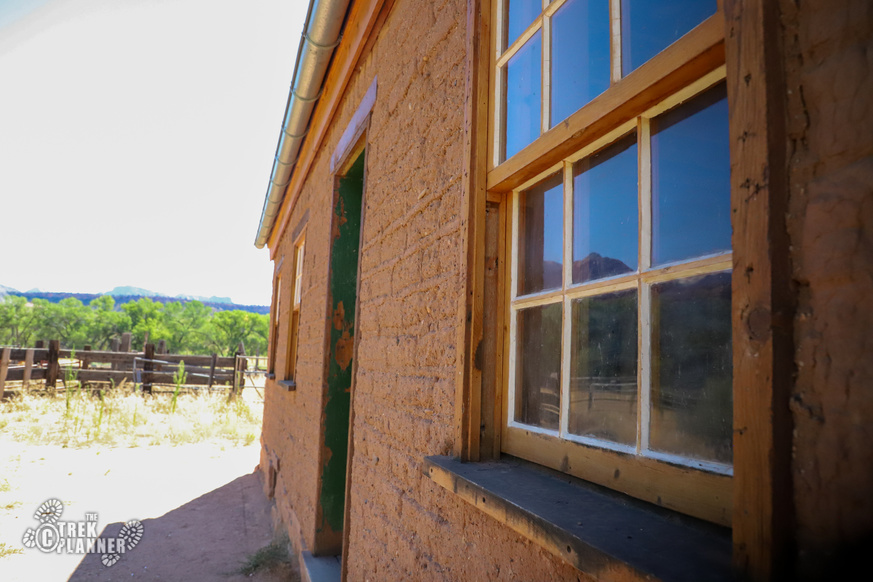
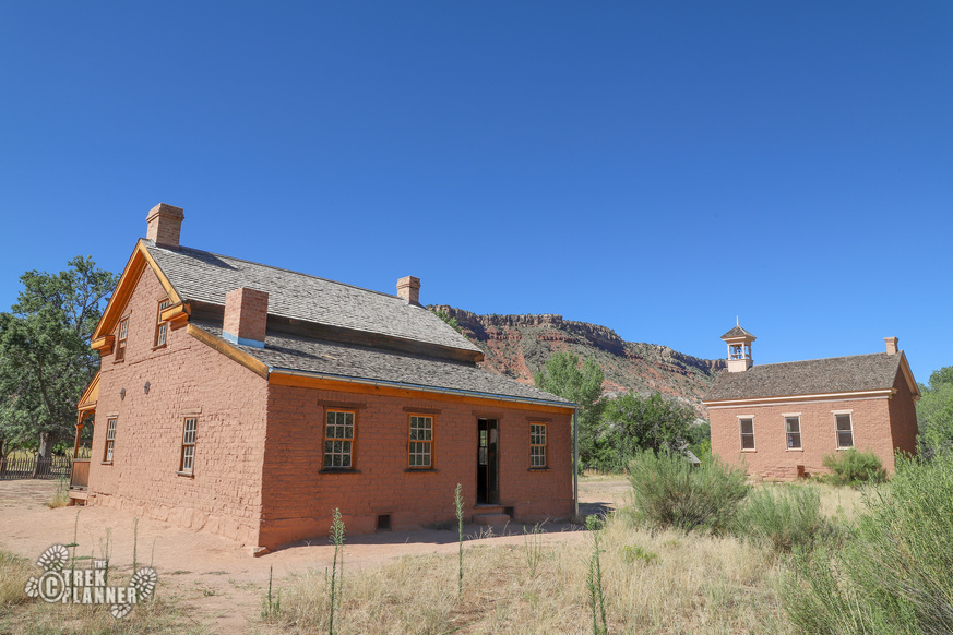
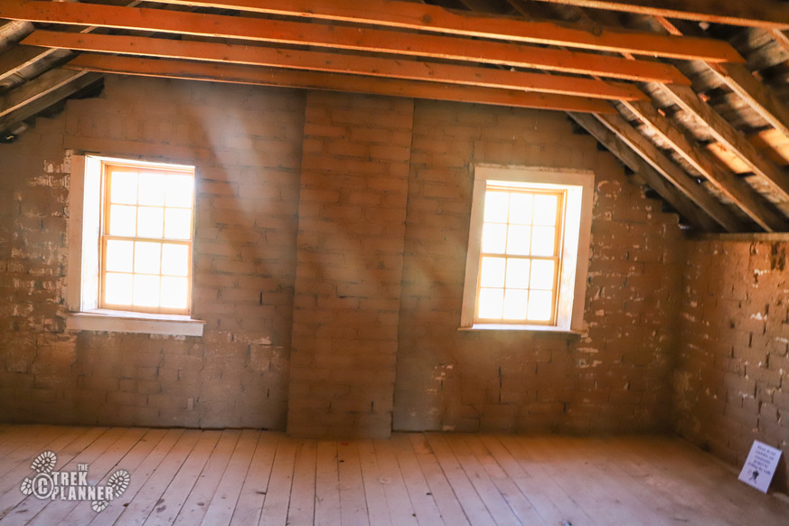
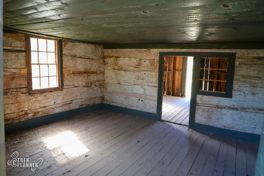
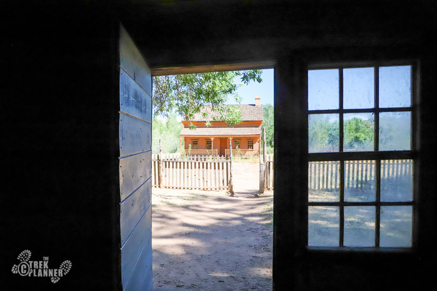
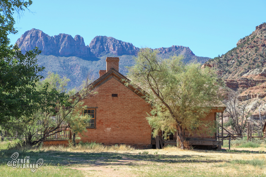
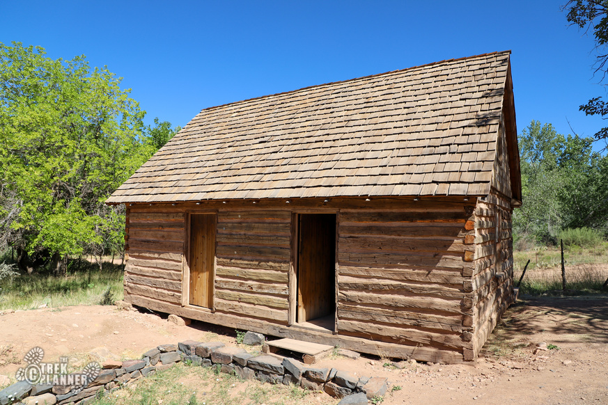
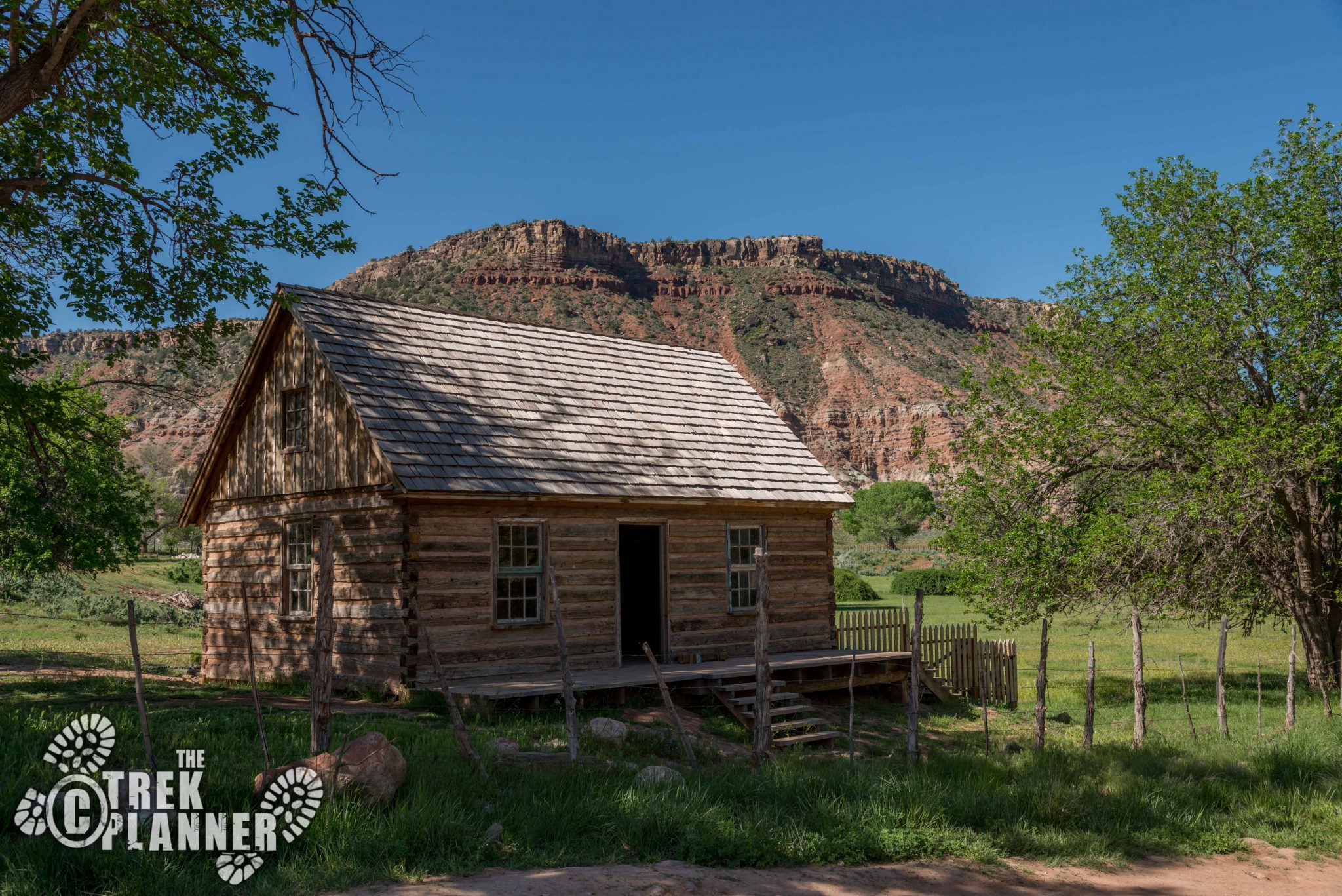
To explore the ghost town, you simply park your car and explore as you like! I started by checking out the schoolhouse/church first. This amazing building still proudly stands at the center of town. It is of course locked but there are steps on the east side so you can view inside of it. You can easily imagine children learning inside this building or the community worshiping here on a Sunday. You can still see the original bell in the tower!
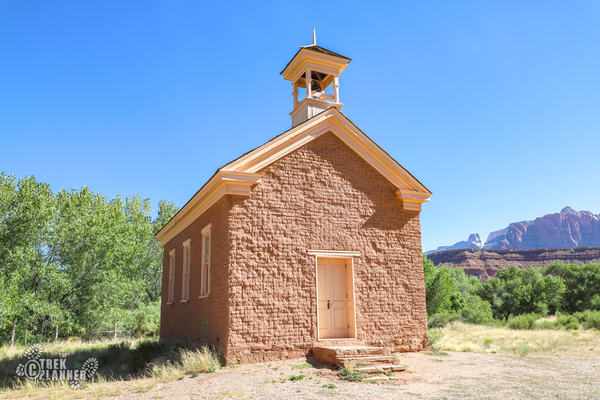
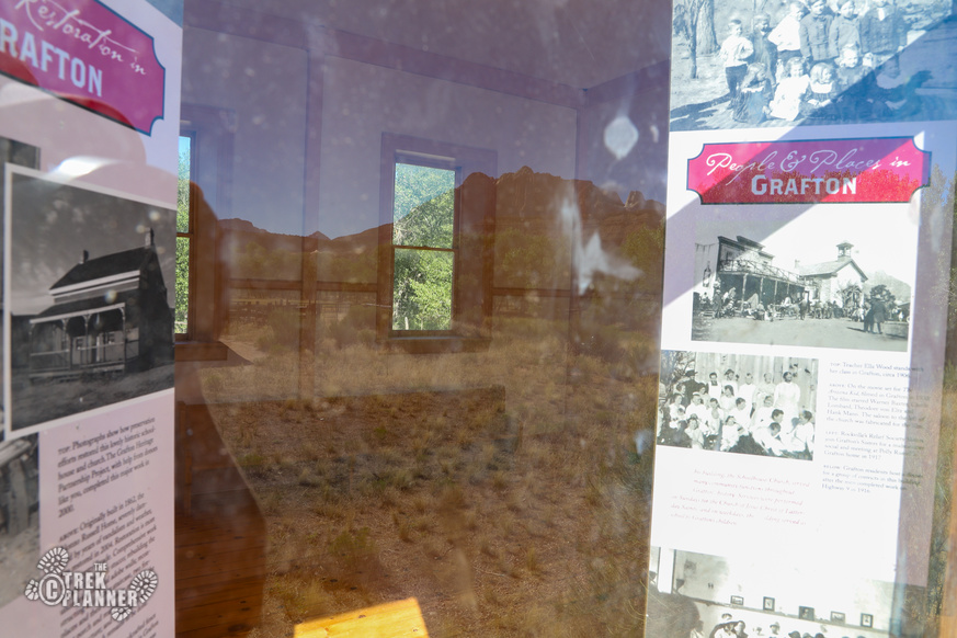
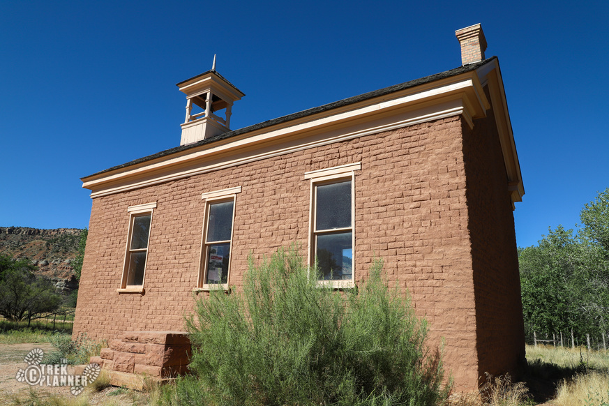
Here is what is written about the Schoolhouse/Church from the information stand at the entrance:
Grafton’s settlers built the schoolhouse in 1886. The two story walls stand on a lava rock foundation quarried from a nearby hillside; its adobe bricks were handmade from clay dug west of town. The settlers cut trees on Mount Trumbull, nearly 75 miles distant, hauled them across the Arizona Strip, and down the Wood Road’s steep cliffs to hew the building’s beams. used as a school, church, meeting house, and community center, the building hosted Friday night dances that drew cowboys from far out on the Arizona Strip. The last school class met in 1919.
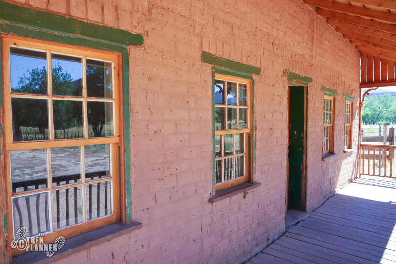
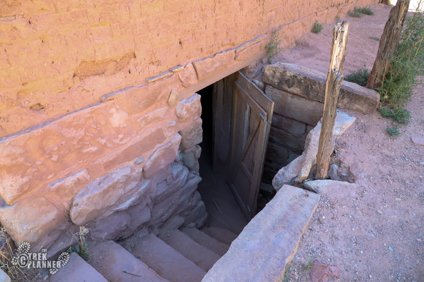
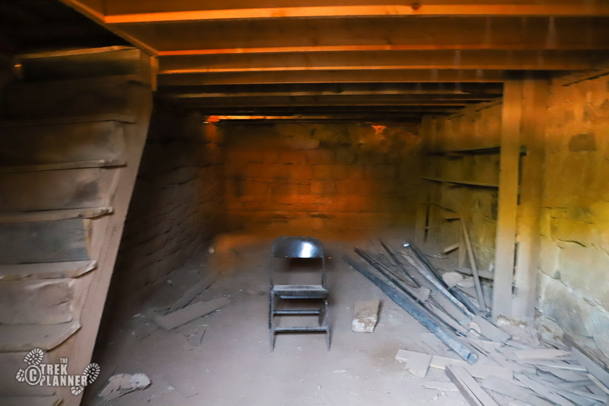
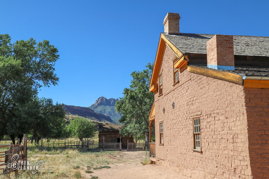
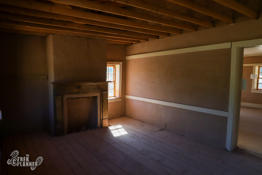
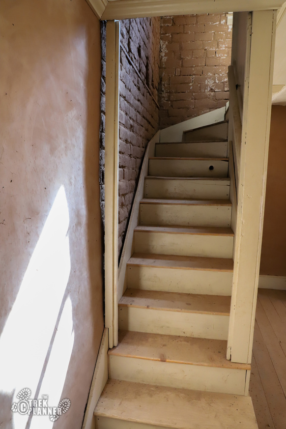
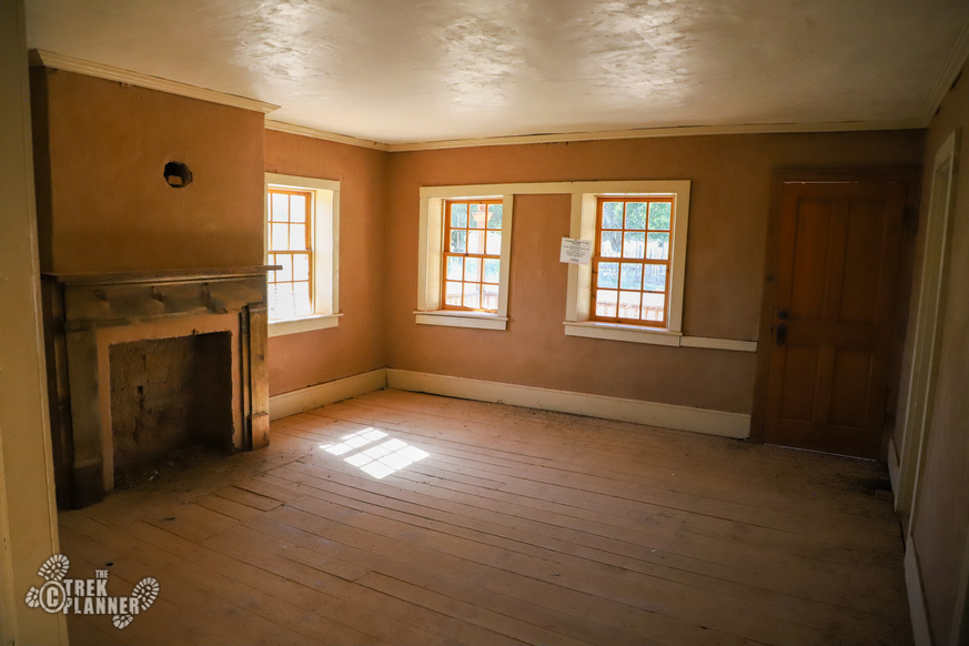
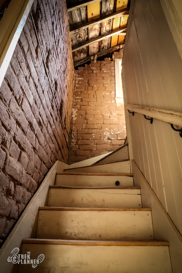
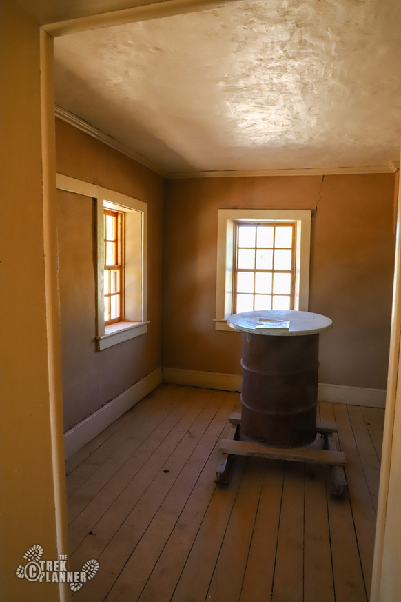
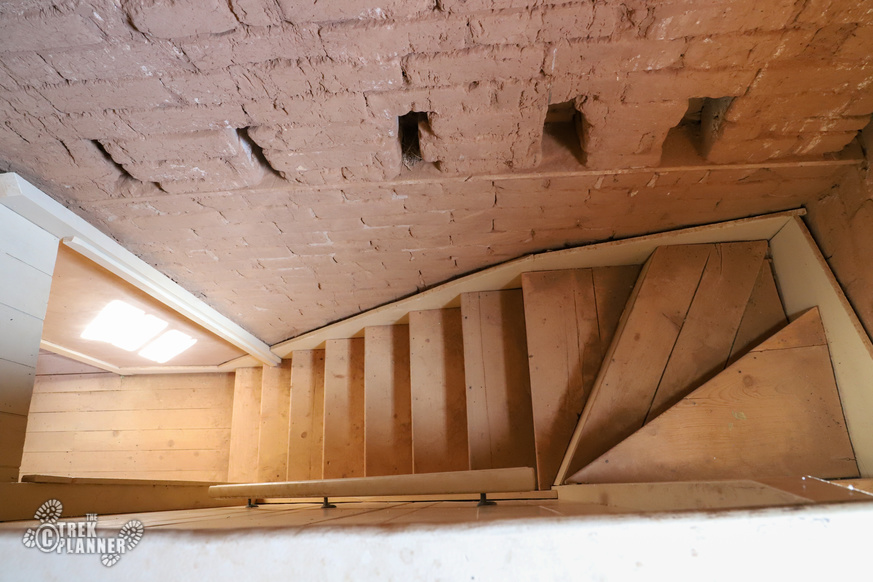
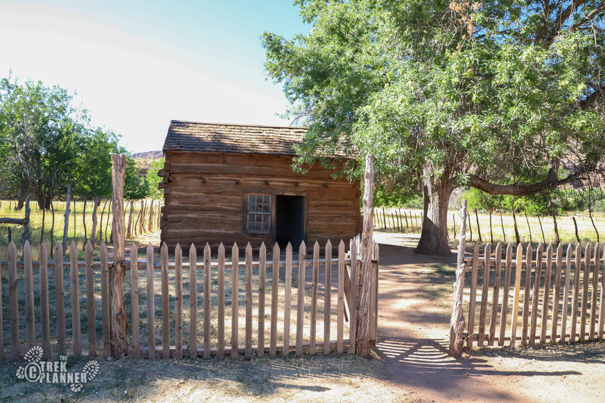
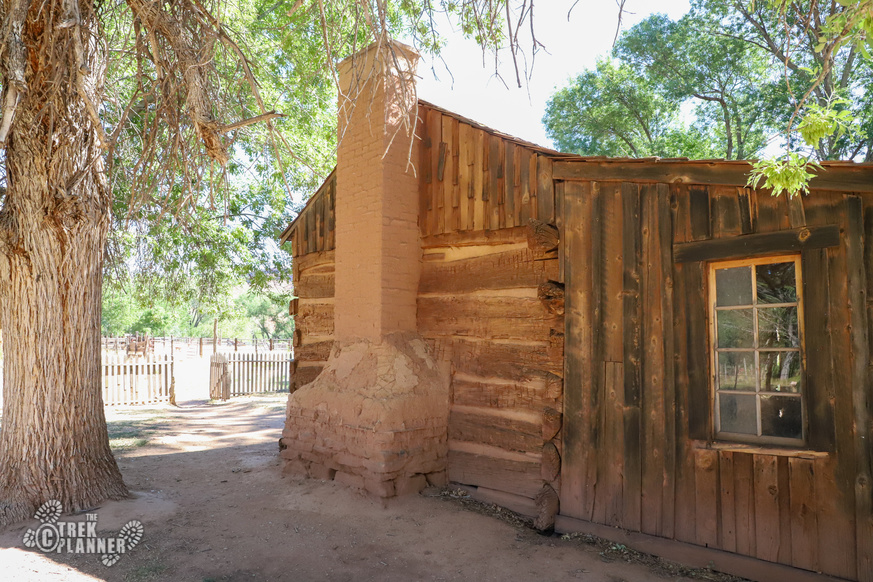
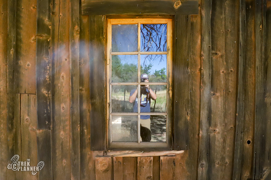
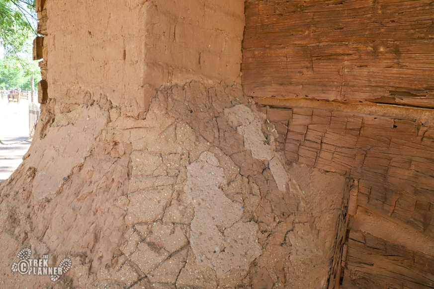
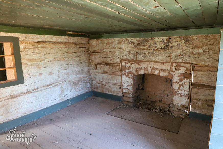
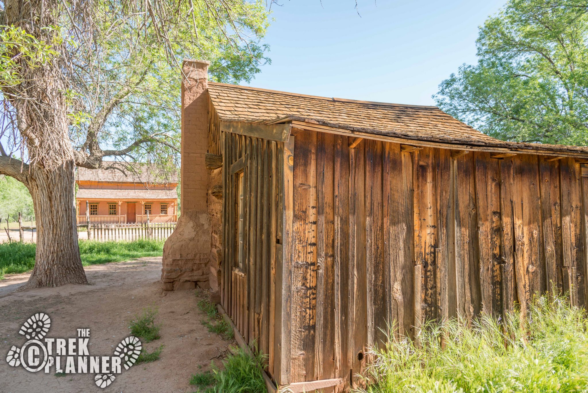
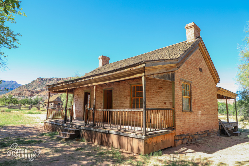
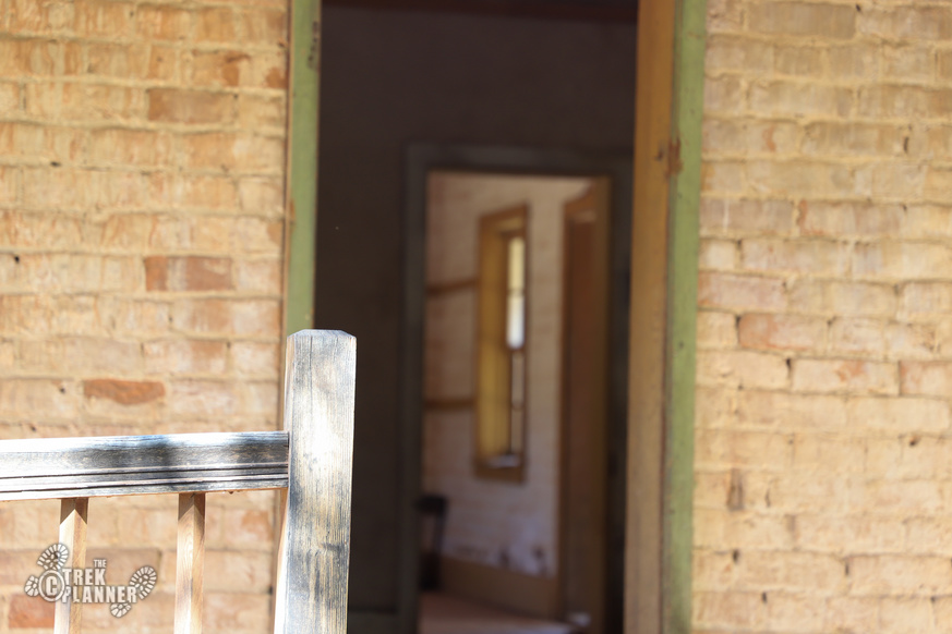
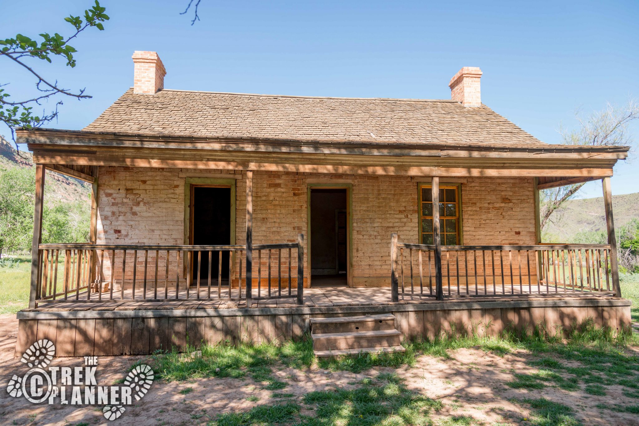
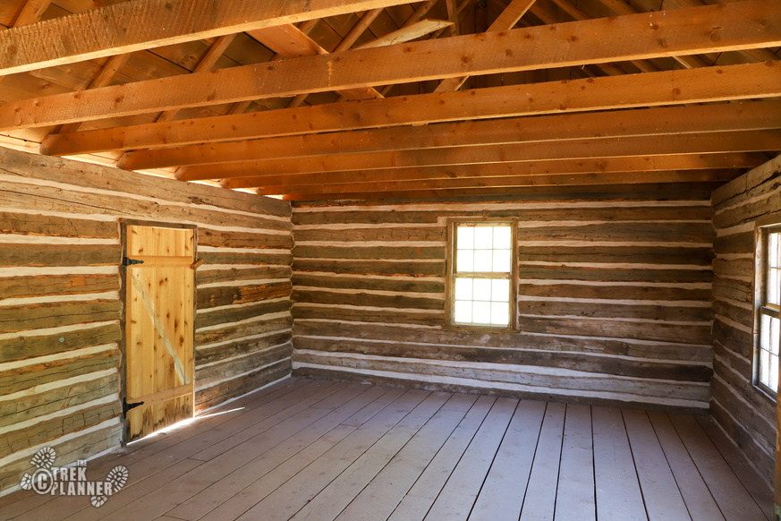
The next building and equally amazing is the home of Alonzo H Russell. I didn’t see any signs outside but all the doors were open so I assumed it was alright to enter and see this home. I did see a few signs inside saying do not vandalize the building. The building had several rooms on the first floor with two fireplaces. I could hear loud squeaking that I thought were bats at first, but turned out to be just mice or rats inside the walls.
It was odd to be inside this house because it honestly felt like people could still live here. You could see that the handrail going upstairs was worn with years of use. You could see out the windows and imagine people going about their lives here. This could still be a livable house!
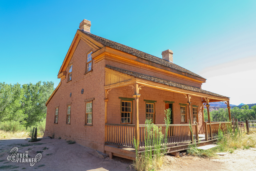
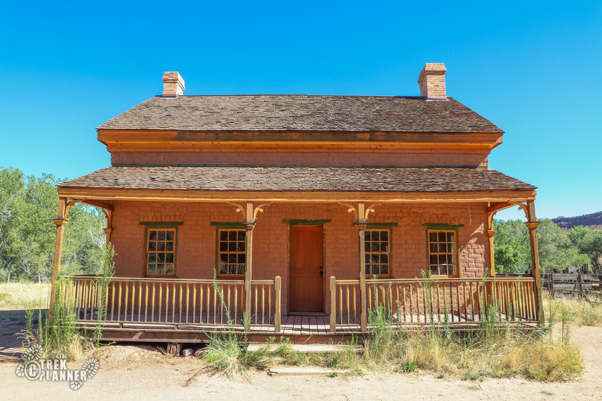
Here is what is written about the Alonzo H Russell Home from the information stand at the entrance:
Alonzo Haventon Russell built this adobe home around 1862 and lived here until 1910. Following Alonzo’s death in 1910, his son Frank bought the house for $200 and a cow. The home’s last residents moved to St. George in 1945..
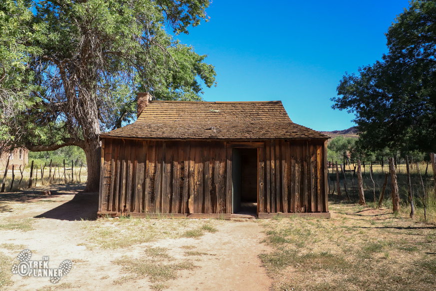
The next building I visited was the Louisa Marie Russell Home. This one was much smaller than the other houses but still had three separate rooms and a shed out back. A small fireplace was in the largest room and you could also see years of use in this house. On the outside, You can see the ax cuts in the logs and sandstone rock used to make Louis’s home.
Here is what is written about the Louisa Marie Russell Home from the information stand at the entrance:
Alonzo H. Russell built this home between 1873 and 1879 for his wife Luisa. Louisa Marie owned one of the first weaving looms in Grafton, which she brought from New Hampshire.
The next building is the John and Ellen Wood Home. This one is gated with signs that say “private property” so you are only allowed to view it from a distance.
Here is what is written about the John and Ellen Wood Home from the information stand at the entrance:
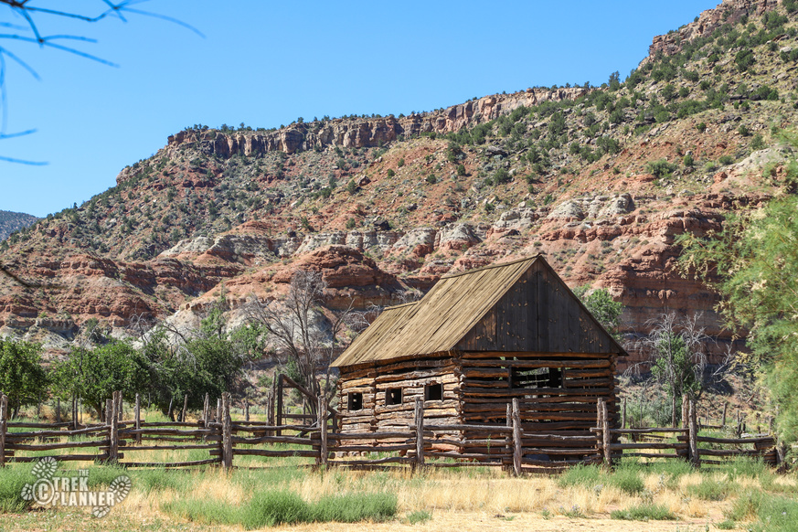
Notice the other historic elements surrounding the house: the split-rail fence, large log barn, and raised one-room granary were, like the home, built in 1877. All have been restored.
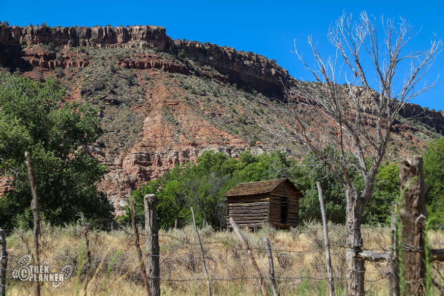
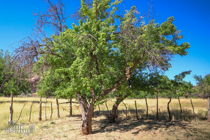
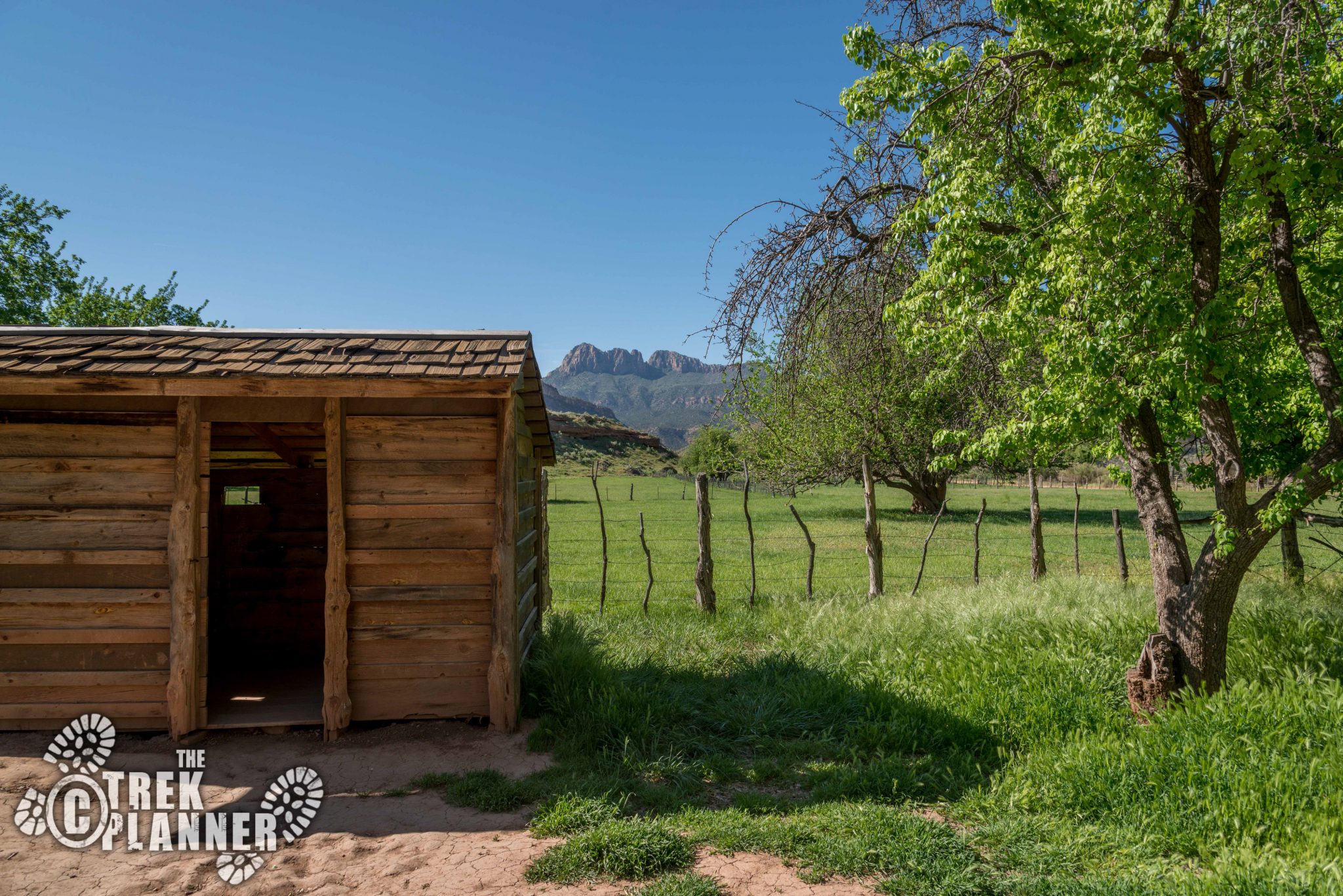
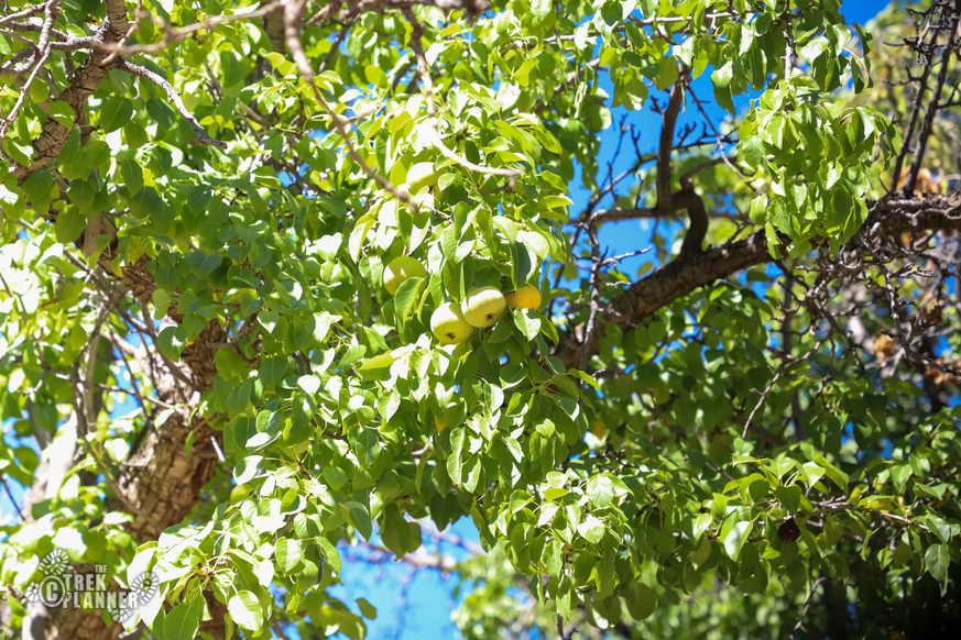
There are other buildings in the area but they are all on private property. You can see most of these from the main road but others are hidden behind trees. Notice the many apple and pear trees in the Grafton fields. Many of these trees were probably planted or descendants from the ones the early settlers planted. During my visit, I found tons of apple and pear fruit almost ripe!
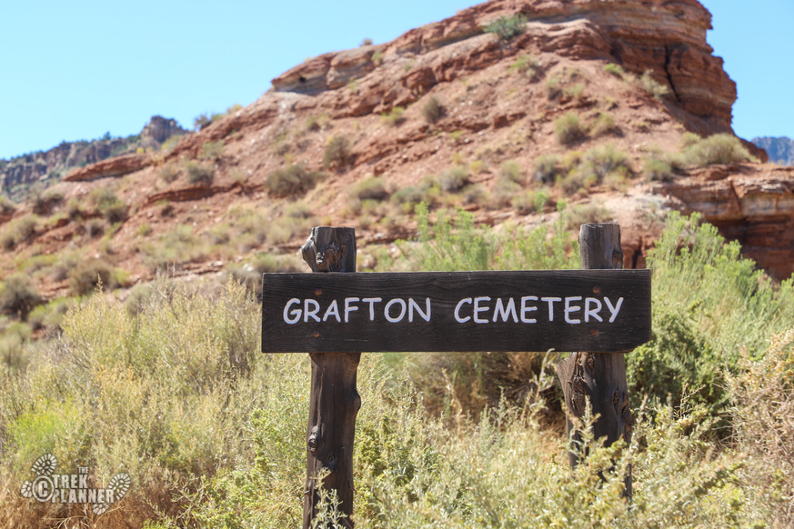
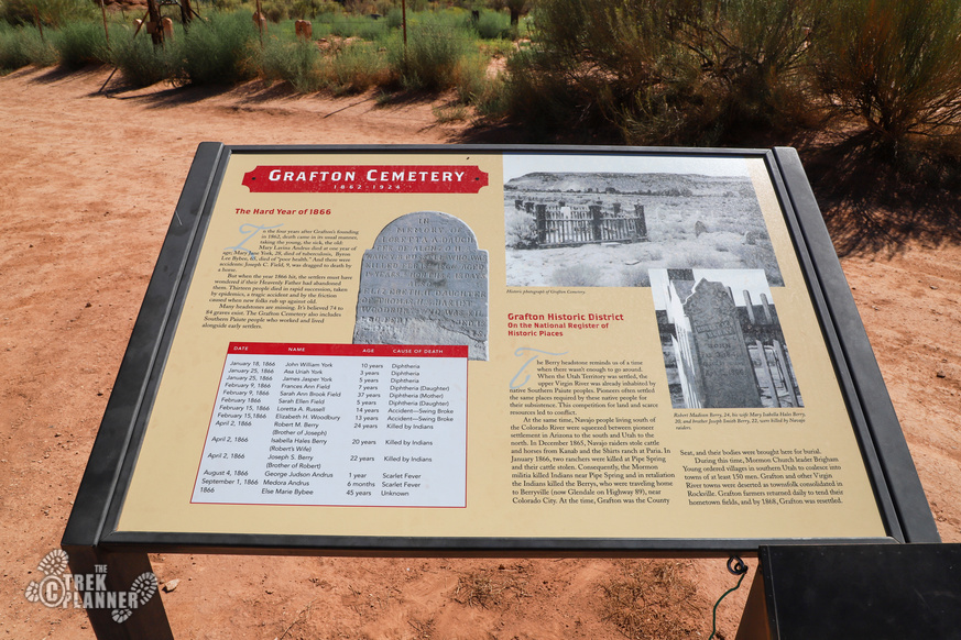
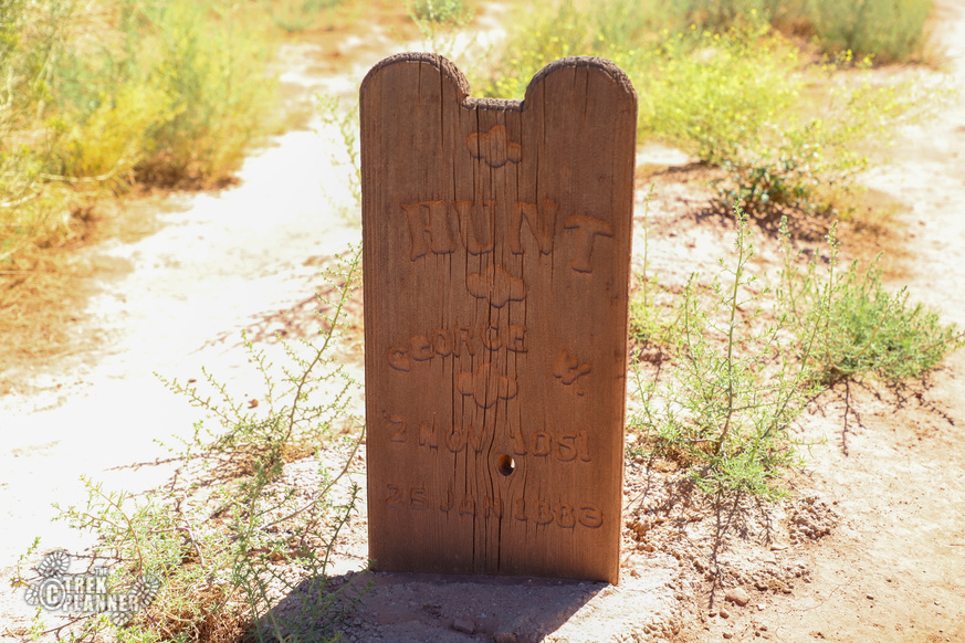
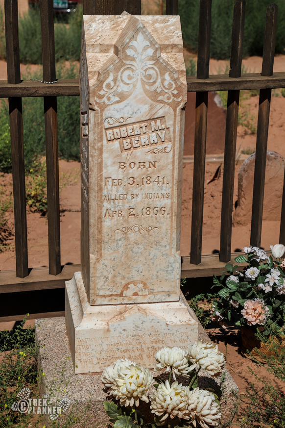
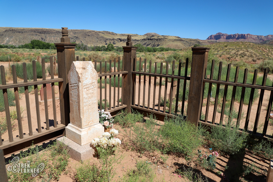
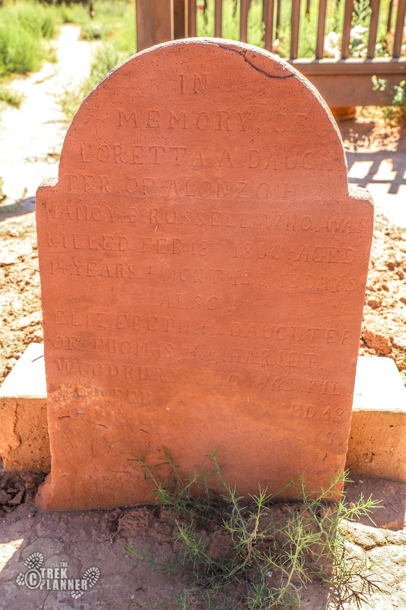
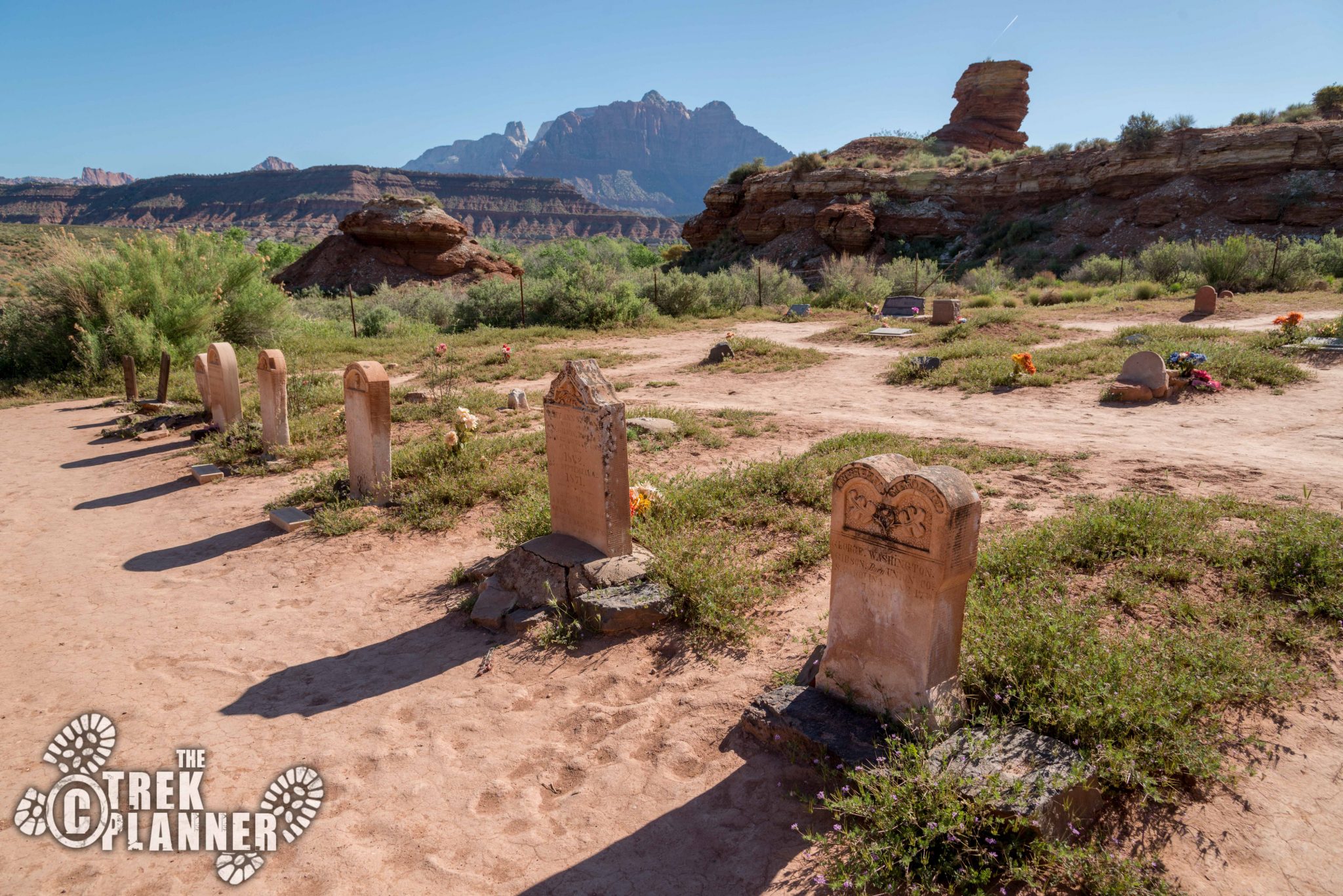
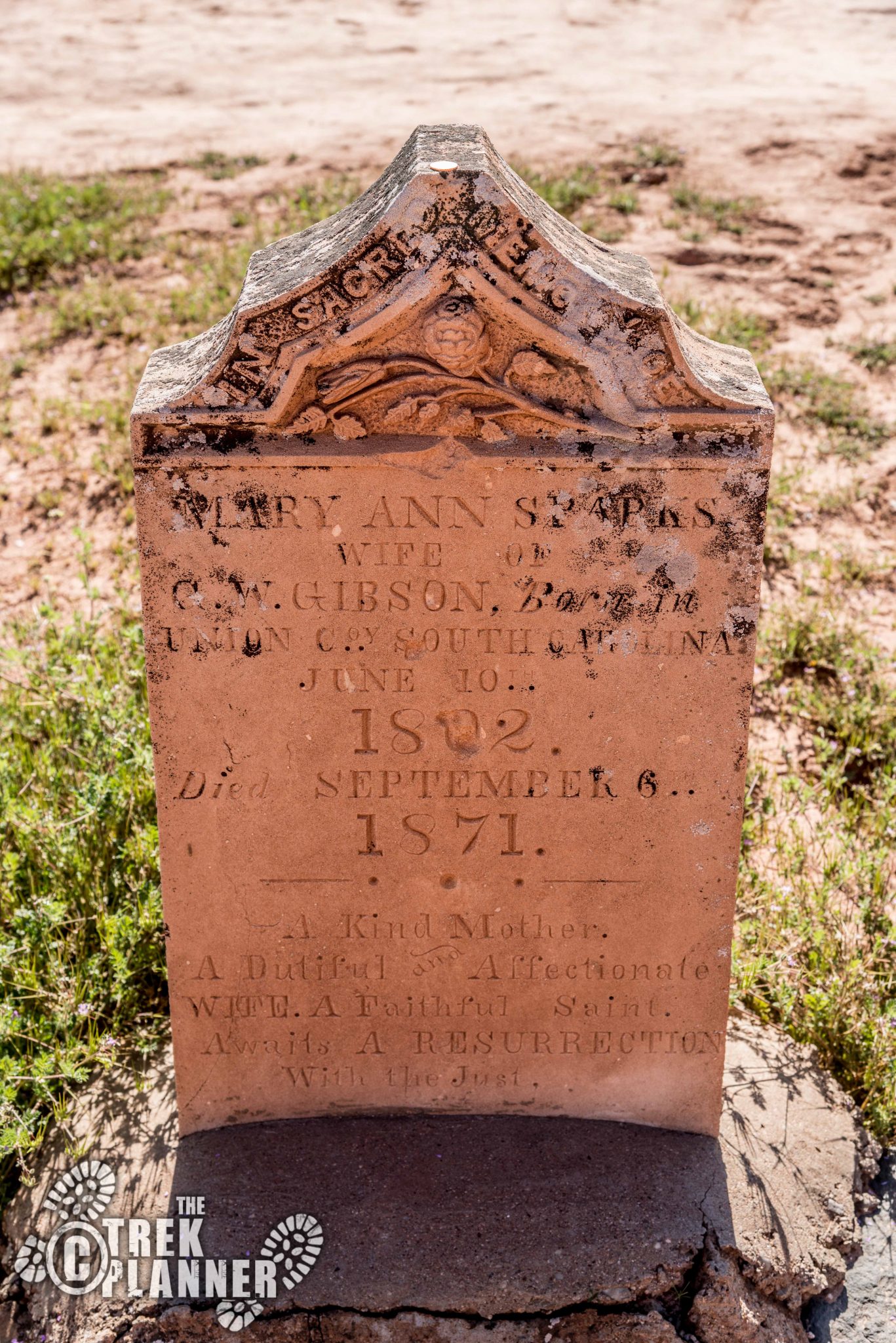
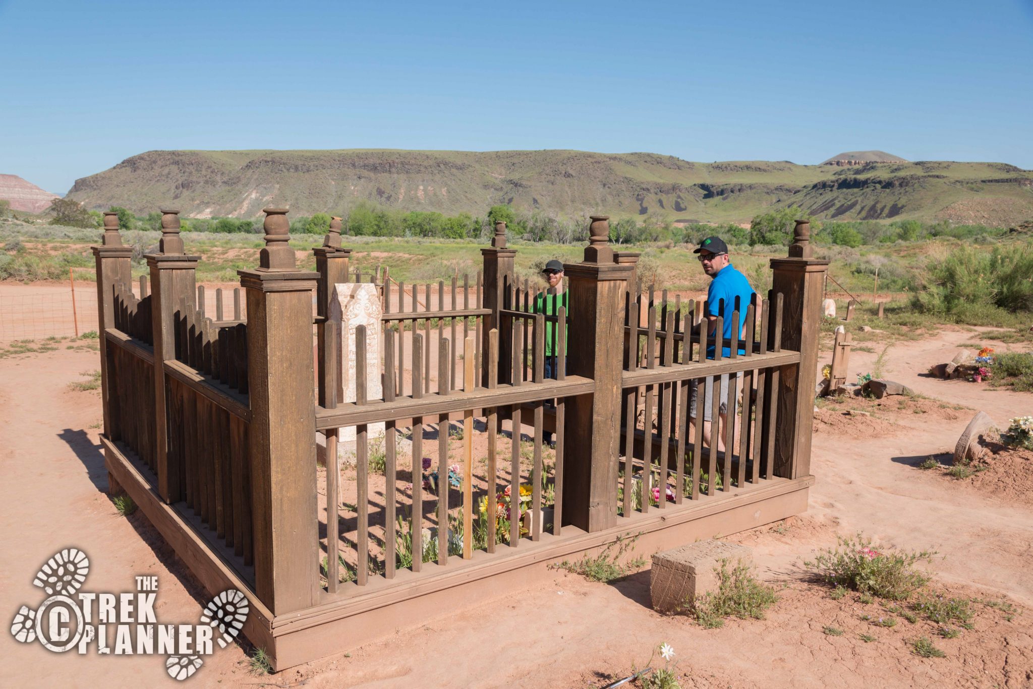
The cemetery is located about 1/2 mile from the schoolhouse and is where you will find 74-84 graves from this small settlement. Reading some of these headstones will give you more insight into life at Grafton. A few of the headstones say that some of the settlers were “killed.” Some by accidents and others by Indians. In fact, the headstone behind the wooden fence says: “Robert M. Berry, Born Feb 3 1841, Killed by Indians, April 2, 1866.”
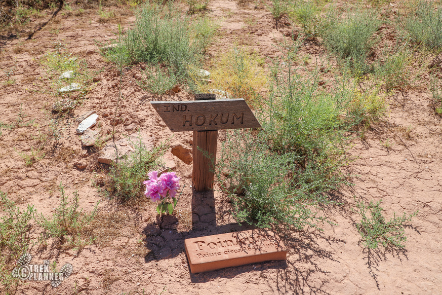
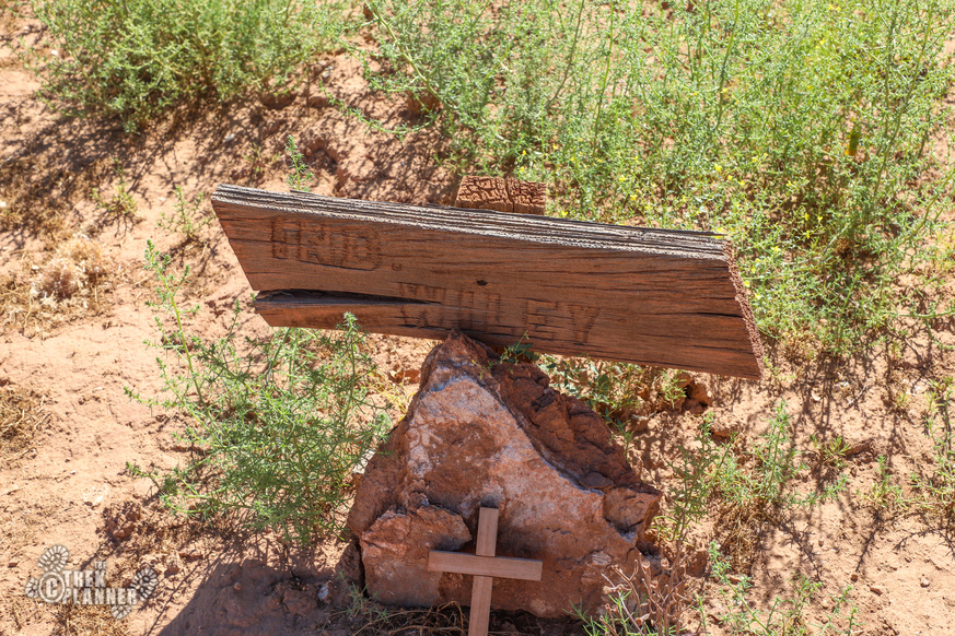
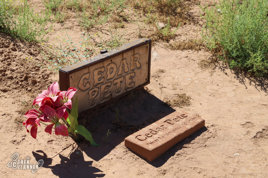
Interestingly, you will find graves of some Southern Paiute Indians “who worked and lived alongside early settlers.” Names such as Hokum, Wiley, Cedar Pete, and others are visible. Their graves can be found at the eastern side of the cemetery.
Near the cemetery I found a dam Grafton residents built.

Personal Thoughts
This ghost town is very well preserved and easily one of the best known and photographed ghost towns in Utah and even the west. I saw several cars with California and Arizona license plates pull up and check out the buildings too. In one of the fields I saw a farmer digging a small trench to water some fruit trees. Even though this is a ghost town it is pretty active still! Many of the ghost towns that I visit typically have a slightly uncomfortable feeling about them. I mean, most of them are old mining towns with all the associated craziness that occurs around mines. Grafton, however, was an exception. This town feels like it had its share of hardship but that there were also many good times and happiness here too. There is a feeling of hope in air that I sensed and it was a refreshing change from the mining ghost towns that I normally visit. This would be a great addition to your Zion National Park trip as it's only 15 minutes away from here! If you enjoyed your visit, please consider donating in the donation box near the gate to the schoolhouse.
[…] Grafton Ghost Town […]
[…] This bridge was built in 1924 by the National Park Service. This was one of the only ways back then to cross the Virgin River in order to continue on down to the Grand Canyon. The steel came from Minneapolis Steel & Machinery company and C.F. Dinsmore company built the bridge. The bridge is 217 ft in length and is on the route you would take to the ghost town of Grafton. […]