
The Trek in a snapshot

Trek Planner Maps
Parking: 37.16398, -113.70312
Ruins: 37.15775, -113.70544
Petroglyphs: 37.15373, -113.70444

Experience. Discover. Explore.
Follow along on our adventure then go out on your own!


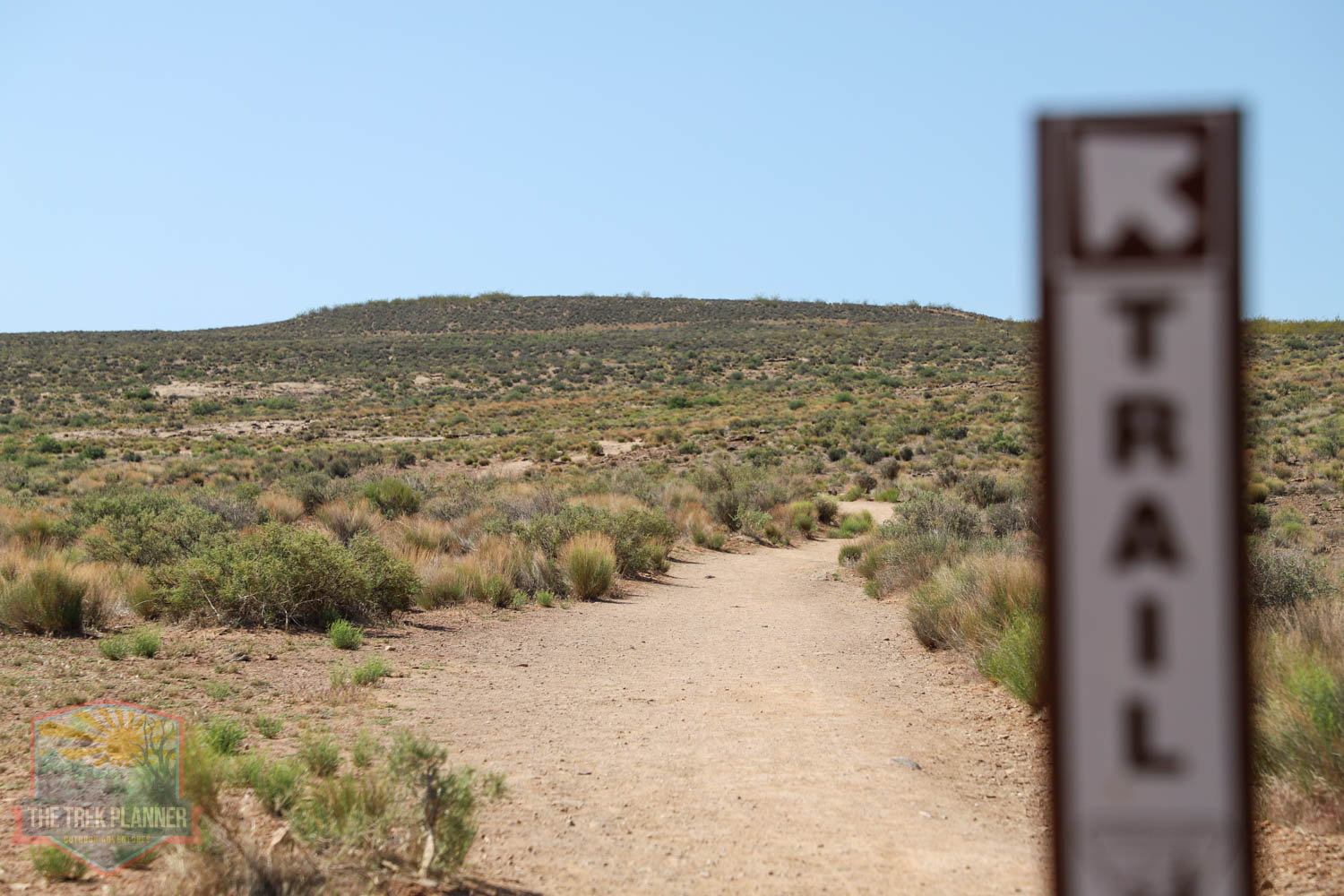
The petroglyphs along Anasazi Ridge can be accessed by two different trailheads. This Trek focuses on the NORTH trailhead since you can get to the petroglyphs much faster this way than by the east trailhead.
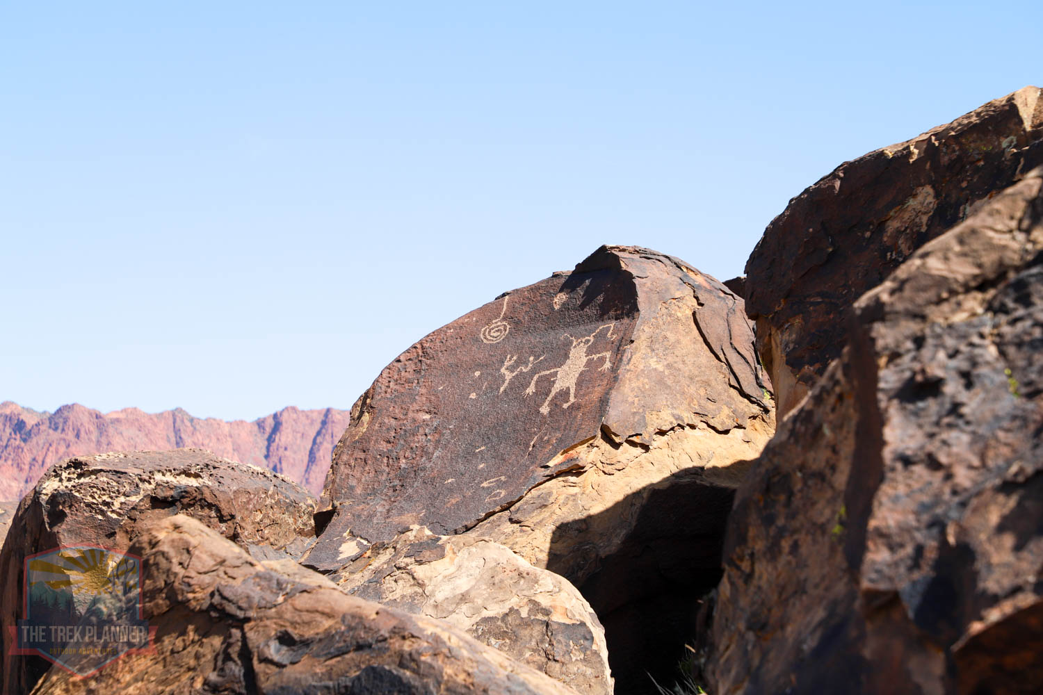
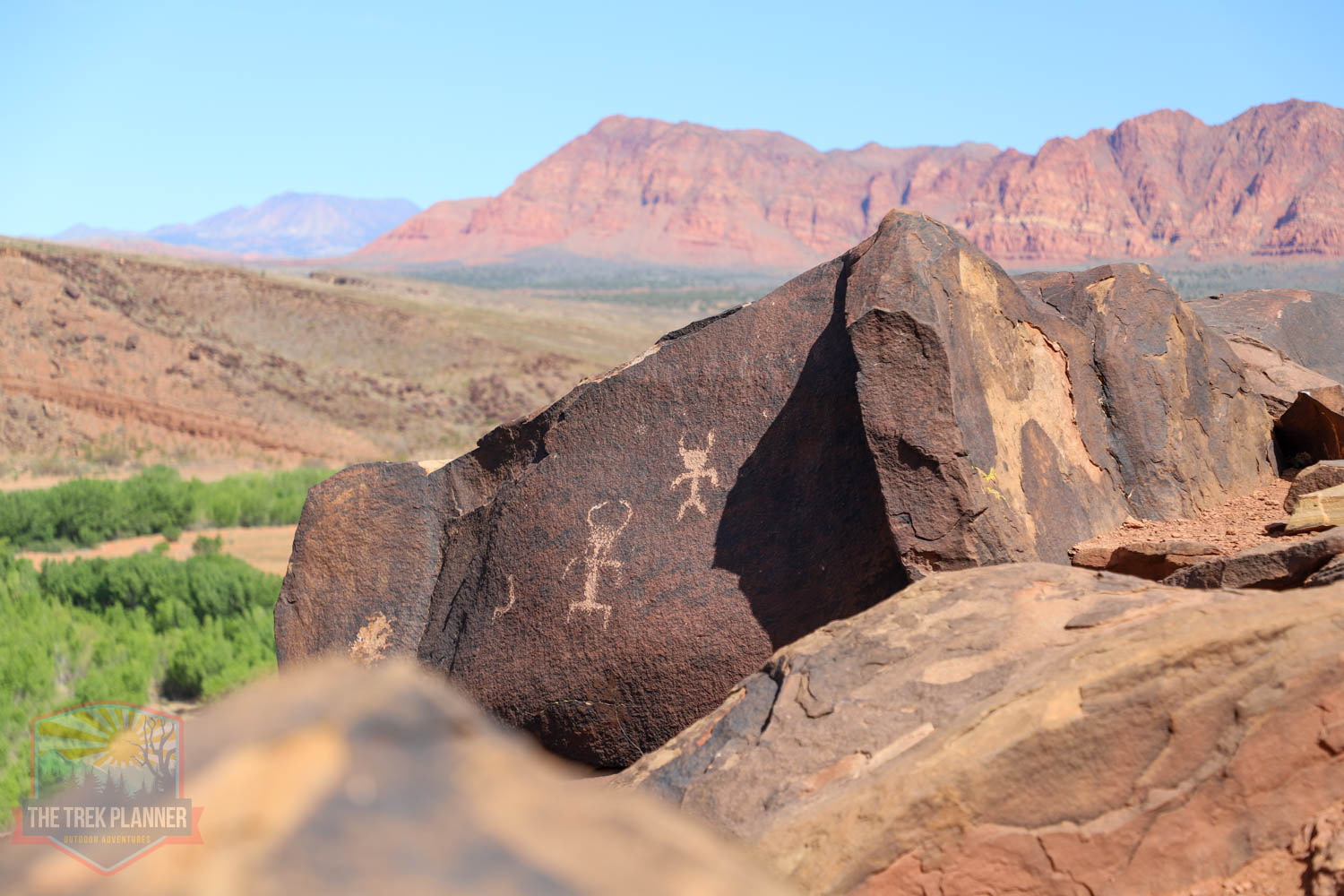
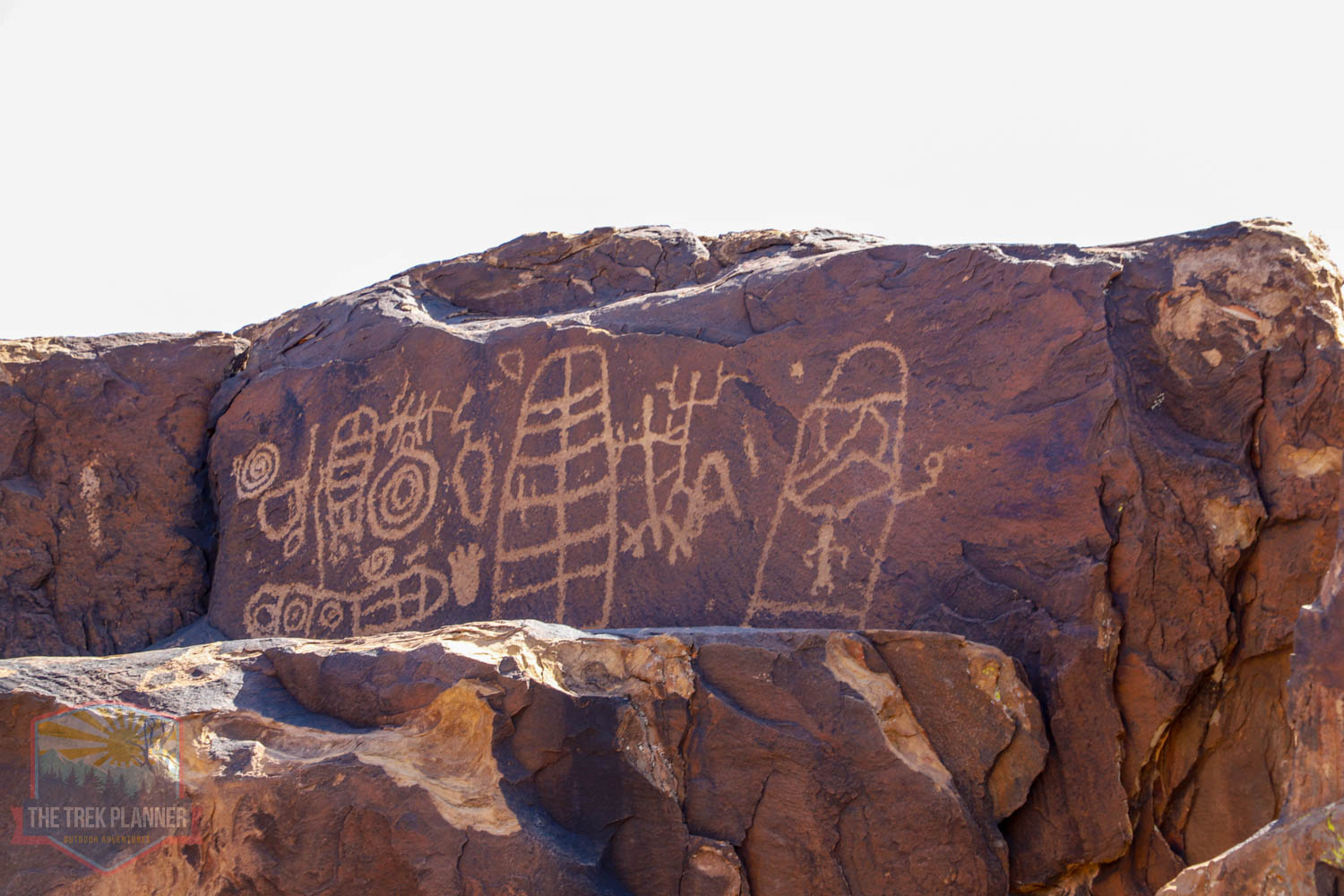
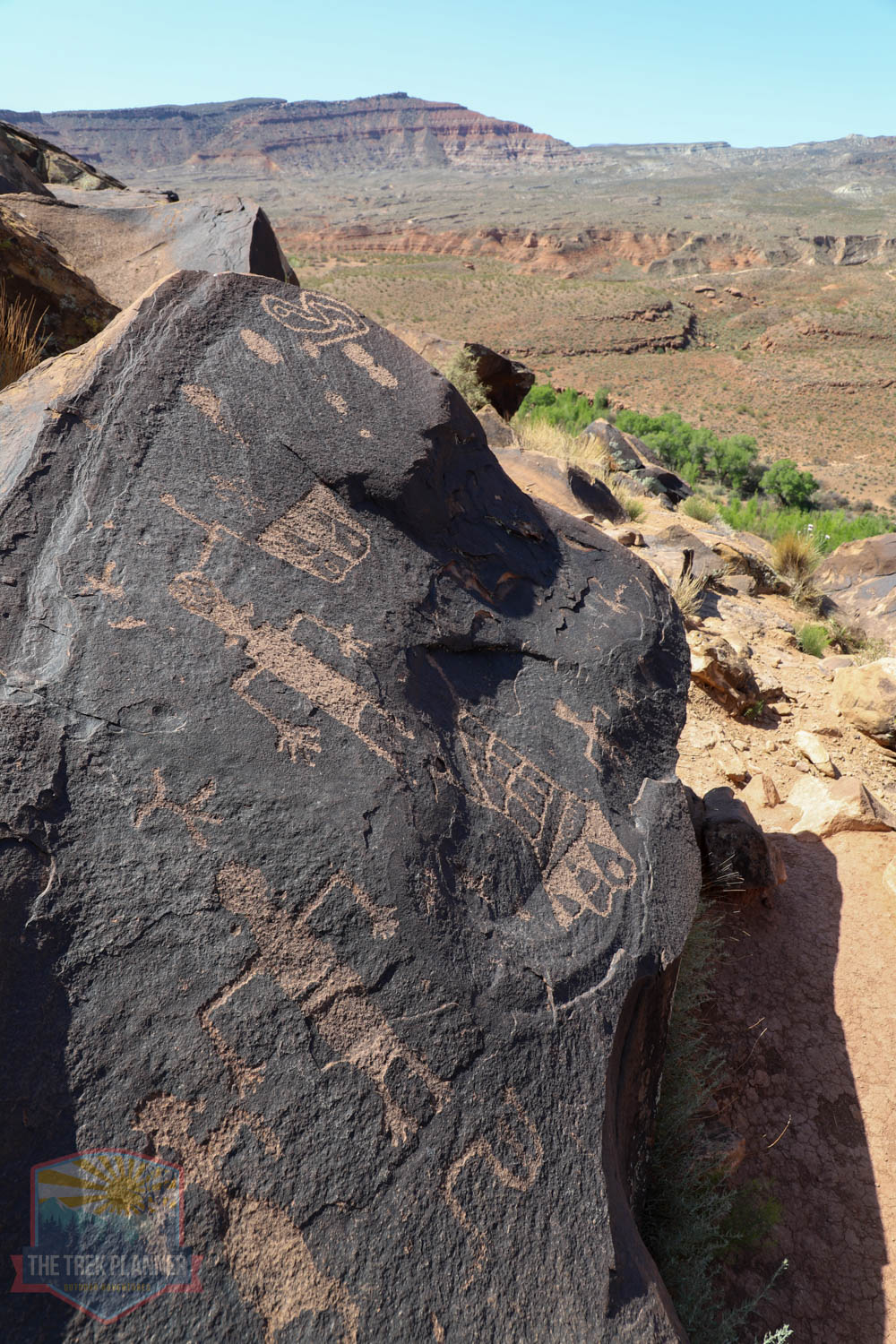
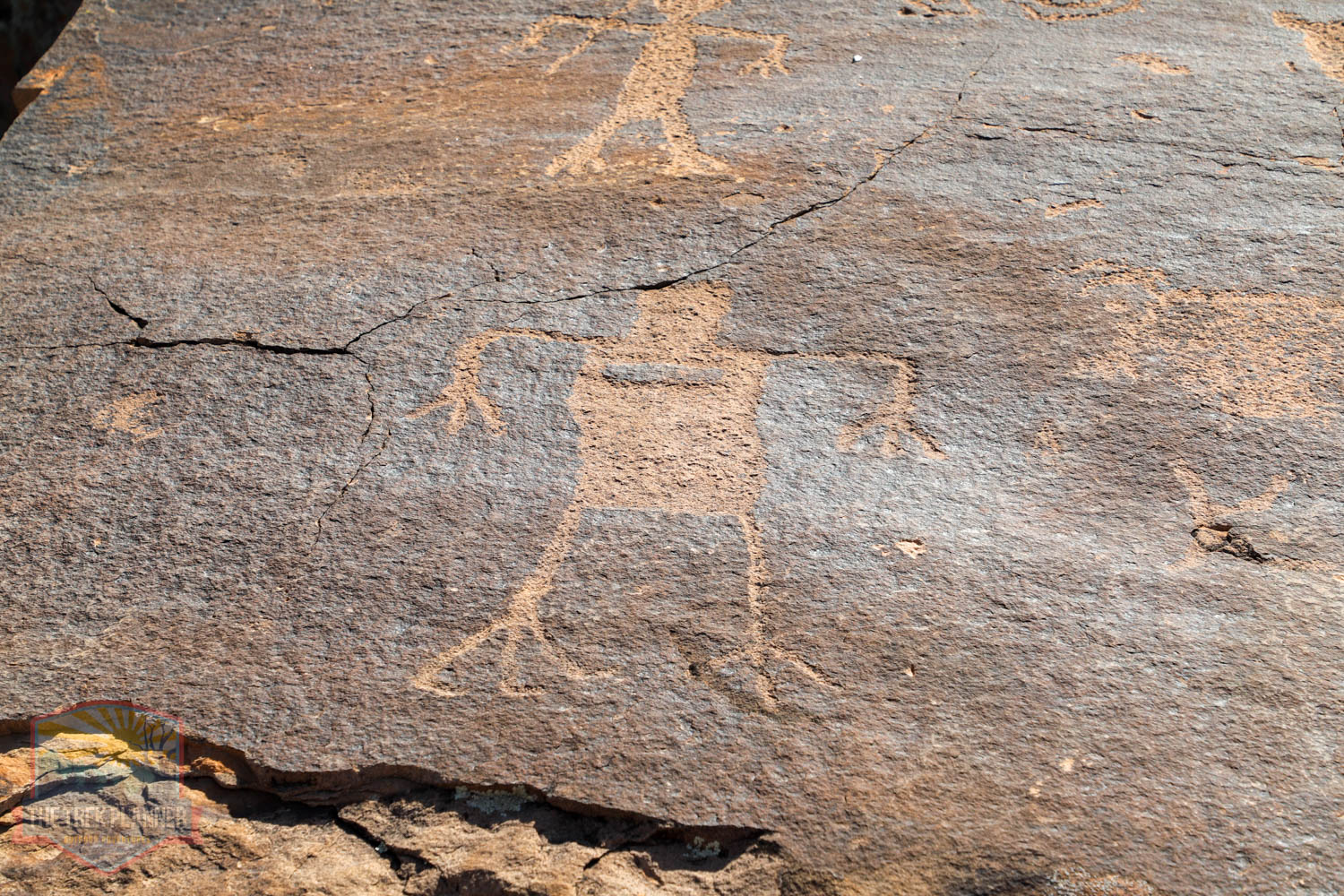
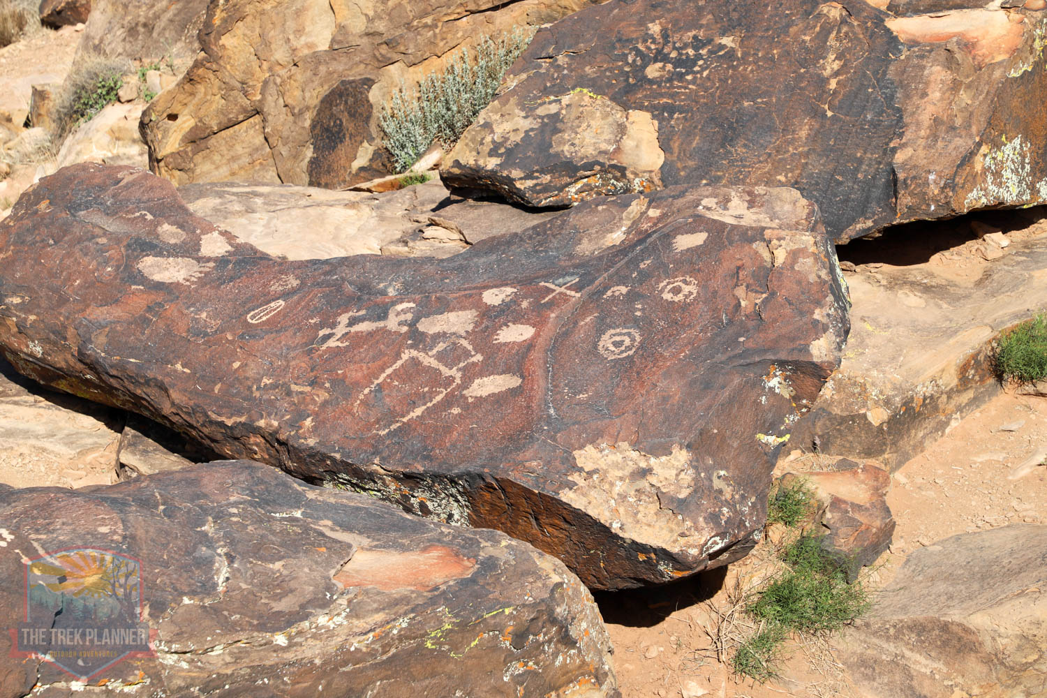
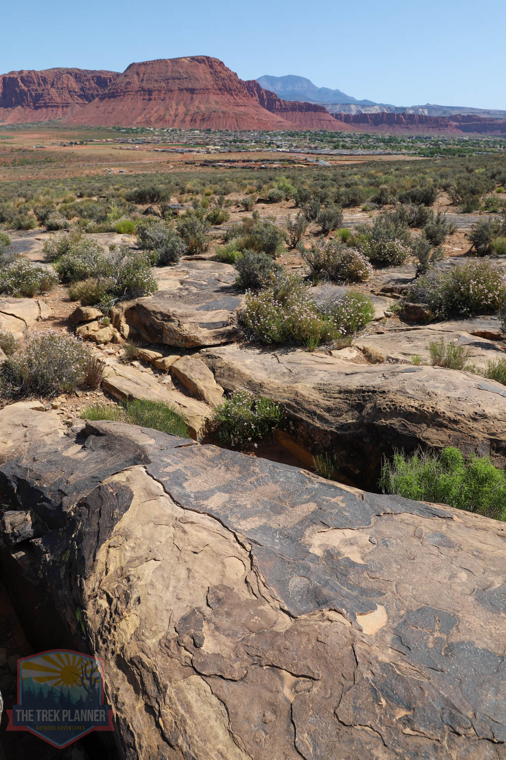
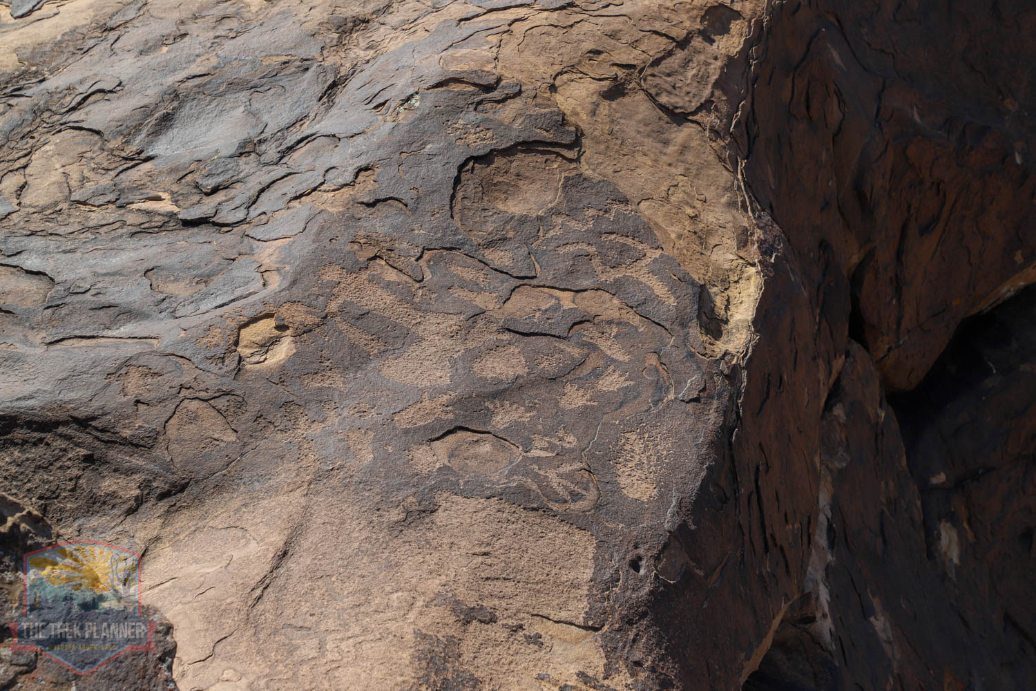
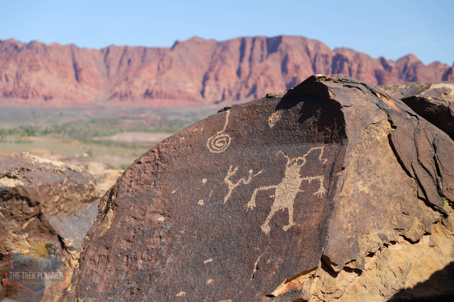
The petroglyphs on Anasazi Ridge are some of the best in the greater St. George region. They are easily accessed by a 1.20 mile hike to a ridge that overlooks a large desert valley below. I have hiked this three times now and find new petroglyphs every time. Petroglyphs are scattered on rock faces and even surfaces that you will be hiking on near the ridge. Be very careful where you step! I have seen people eating snacks right on top of petroglyphs without even knowing it! Do not touch the rock art and please do not carve your own name (vandalism) on the rocks like some visitors have done in the past. This site needs our protection and respect.
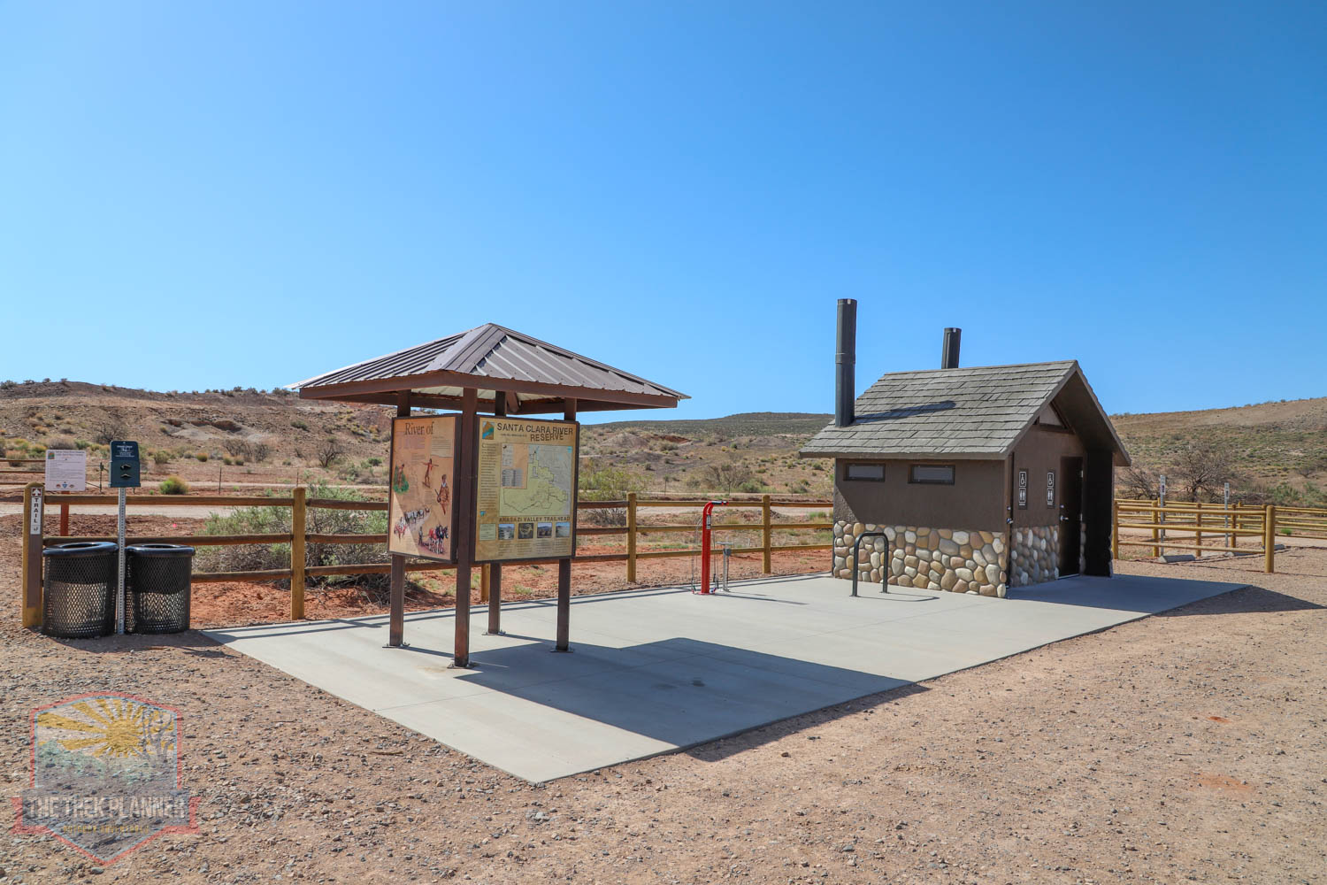
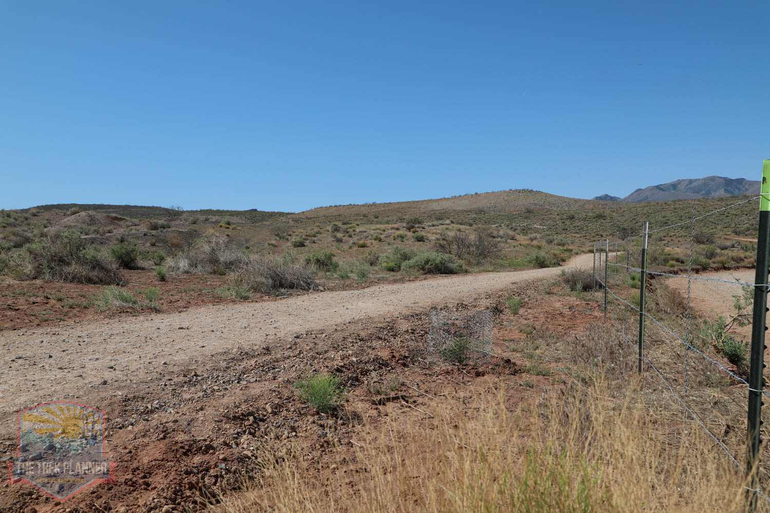
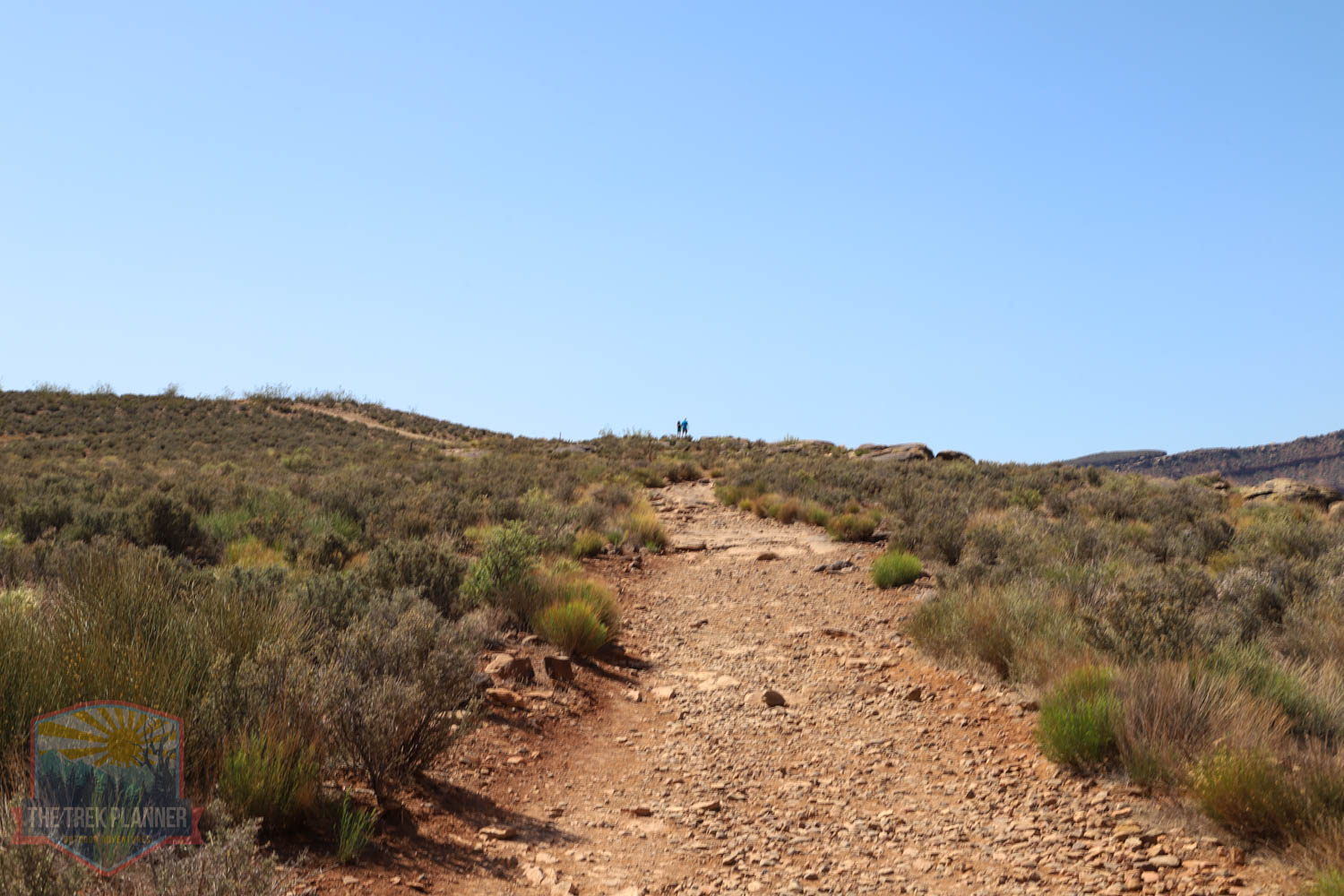
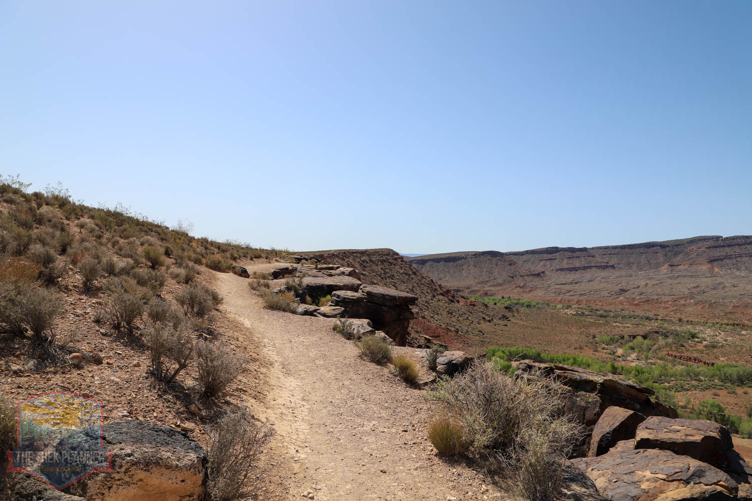
There is a new trailhead that was recently built on the north end. This is why you can see in my map that the trailhead GPS coordinate just beings on a dirt road. There is now a huge parking area with a few outhouses. The trail crosses over the road to the other side and hikes in a south direction for a bit.
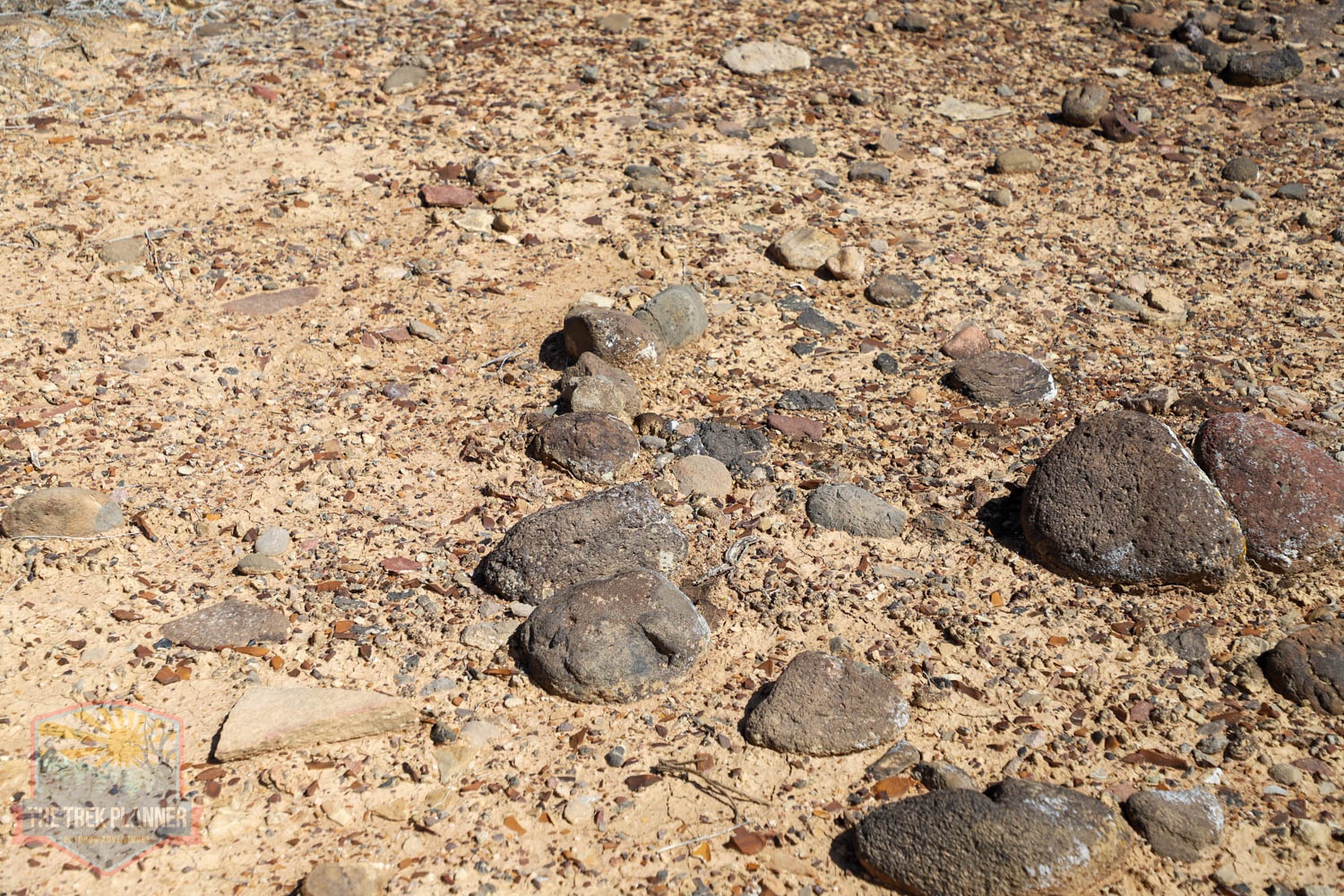
Along the way, I kept seeing rocks that were lined up just beyond the trail. It’s almost impossible to know if these are remnants of ancient structures or what, but they are interesting to note.
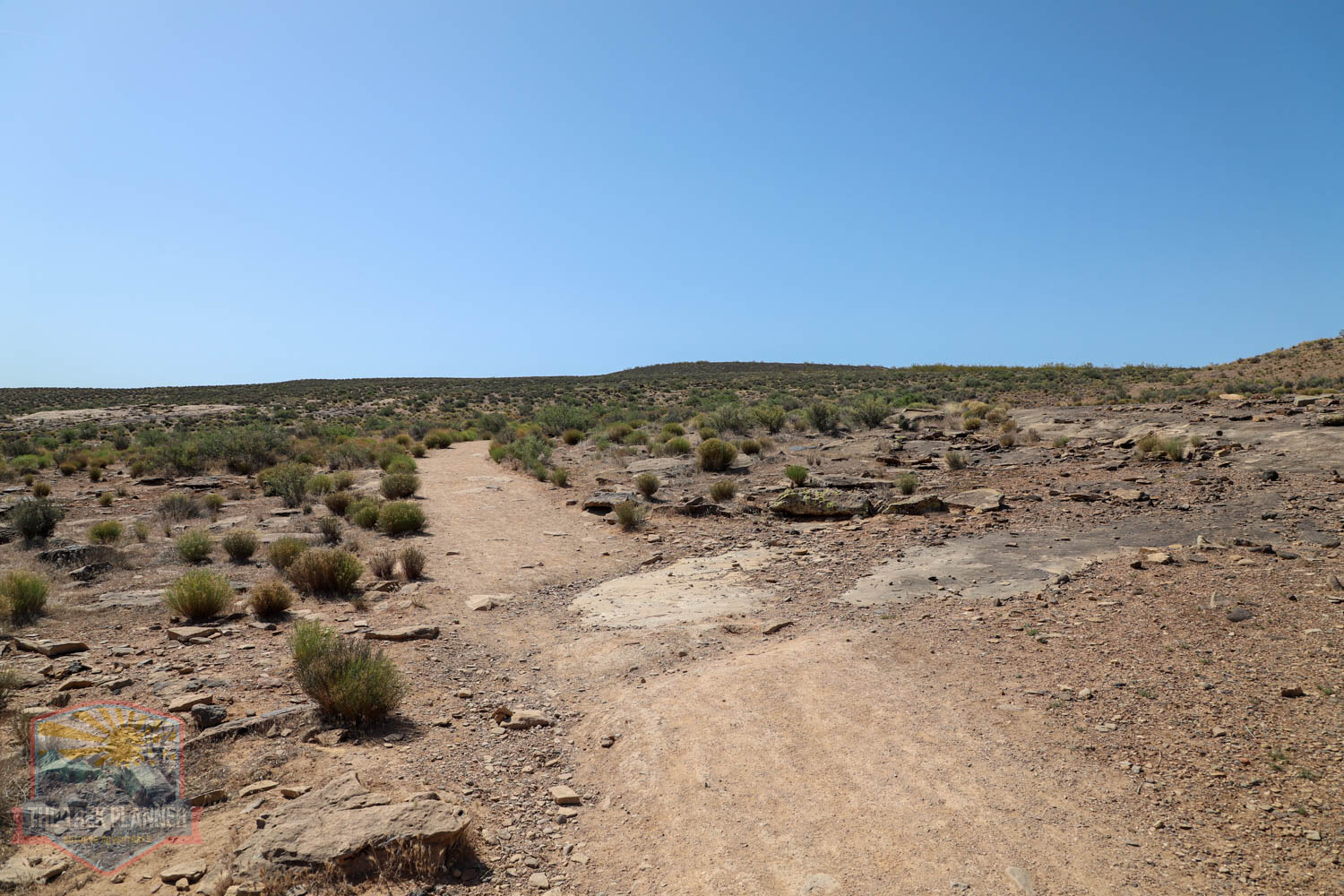
You will cross over a small bride that spans a dry wash. Continue on up to to where the long switchbacks are located.
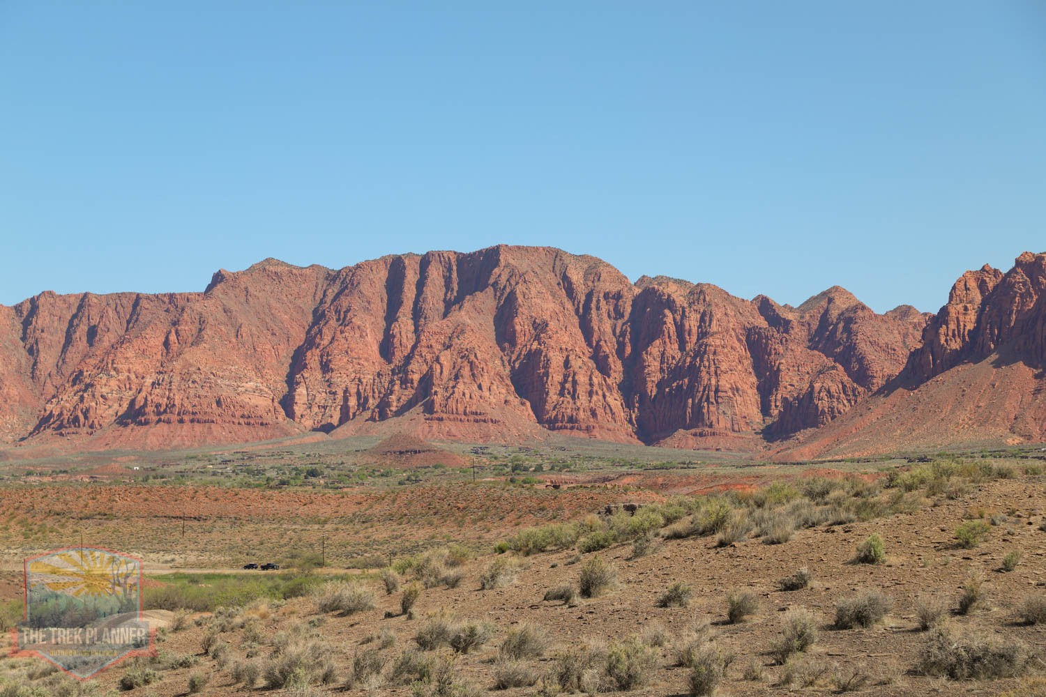
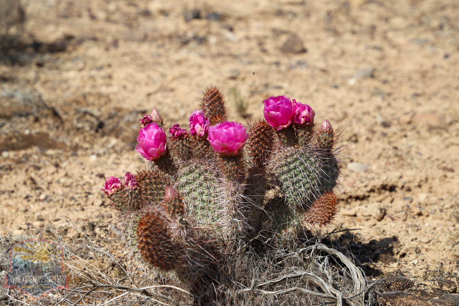
This is an absolutely beautiful area! I love all the cactus with their bright pink flowers blooming (in early spring time). It’s interesting that the desert is mainly colors and shades of brown, red, and orange, but then the cactus as the most vivid pink flowers. You can see them for miles!
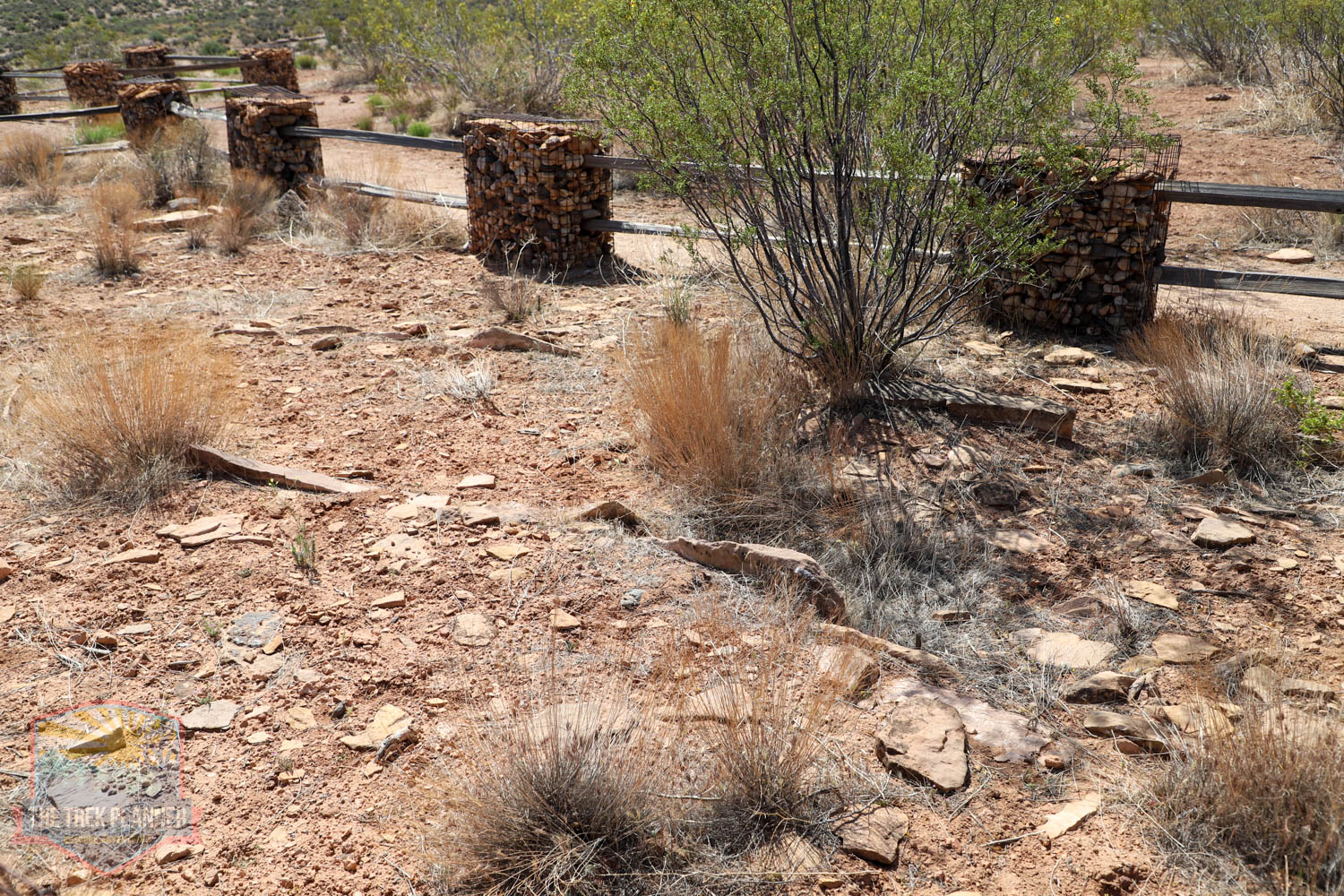
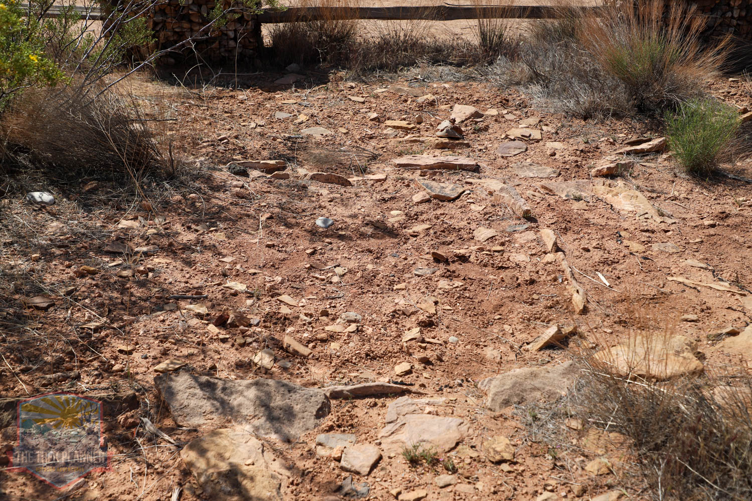
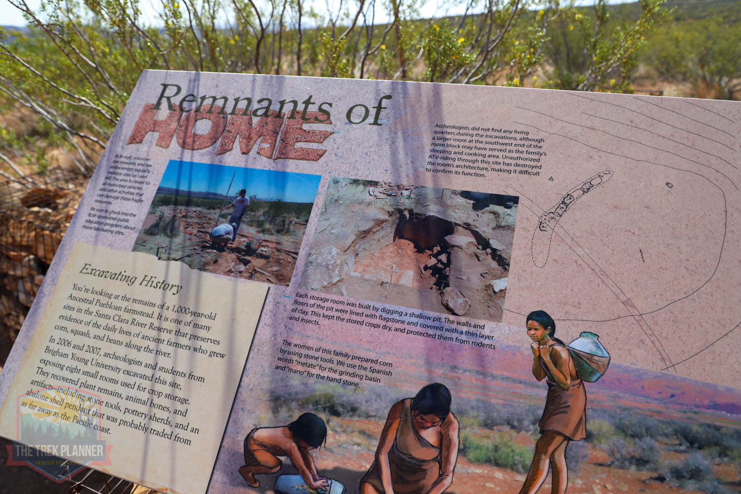
The trail will eventually split to some ruins or continue on to the petroglyphs. I stopped by to see the ruins, which seem types of storage structures. There isn’t much remaining besides some foundations.
The petroglyphs aren’t much farther from here. You will know that you are at the petroglyphs when you see the sign. Again, be careful where you walk. Hundreds of petroglyphs are scattered on rock surfaces all over the ridge. Some of the best ones are off the trail just below the ridge actually. Take time to explore. I even hiked up the trail a bit more and found more!
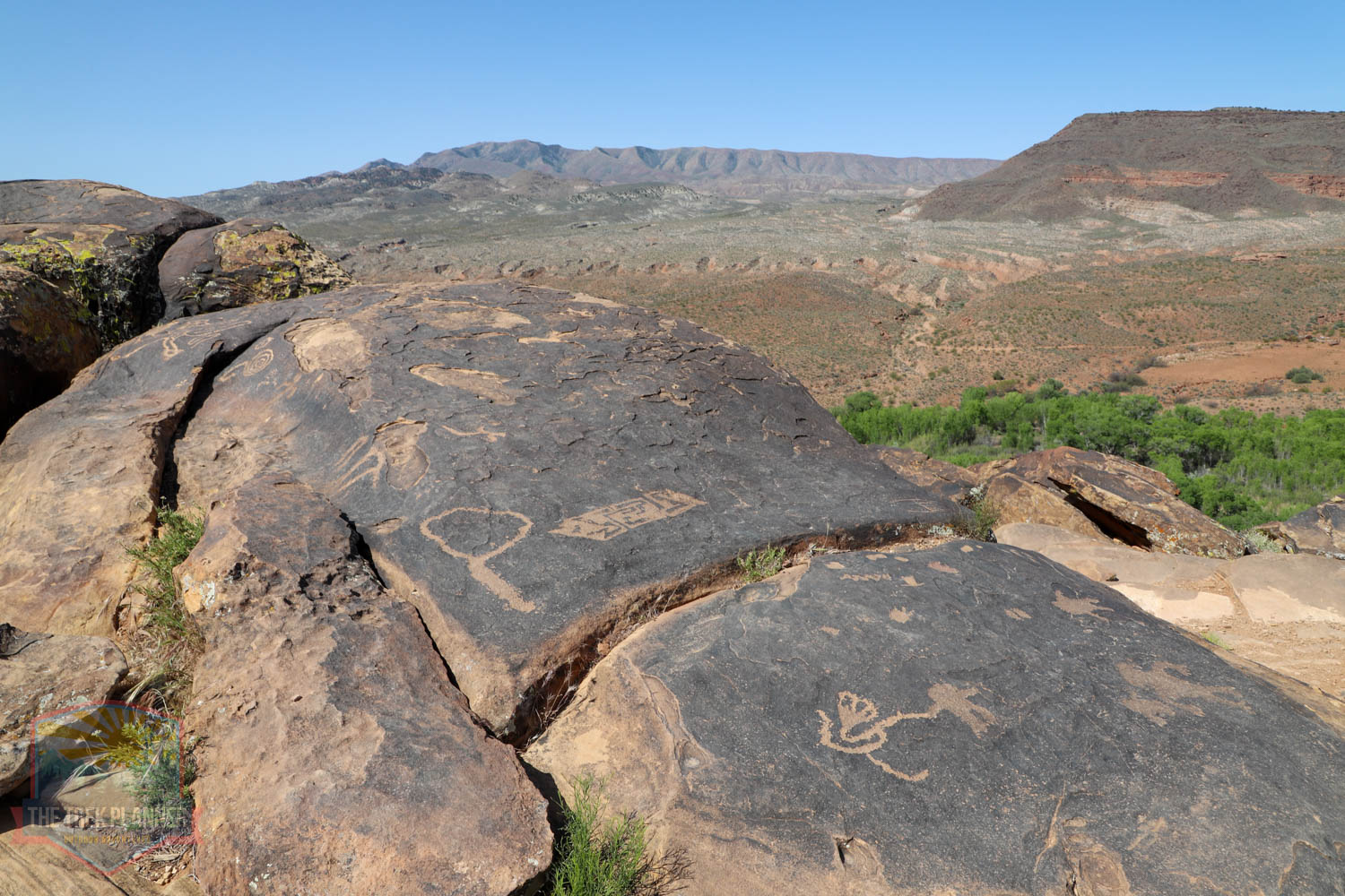
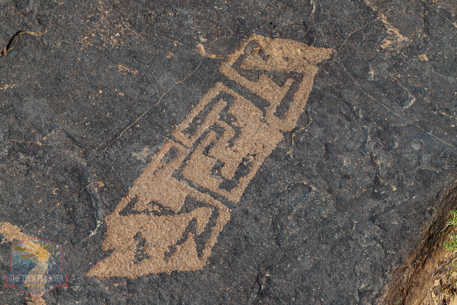
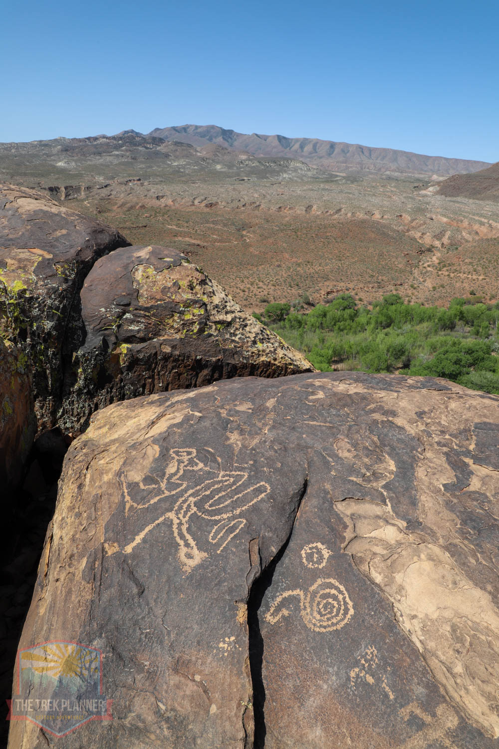
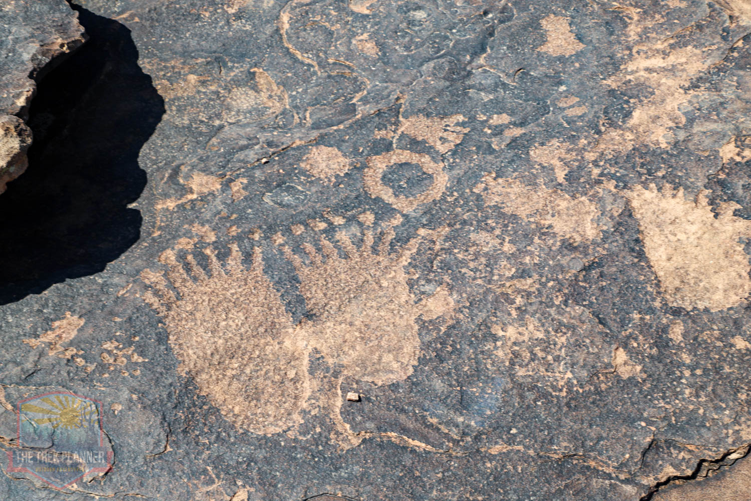
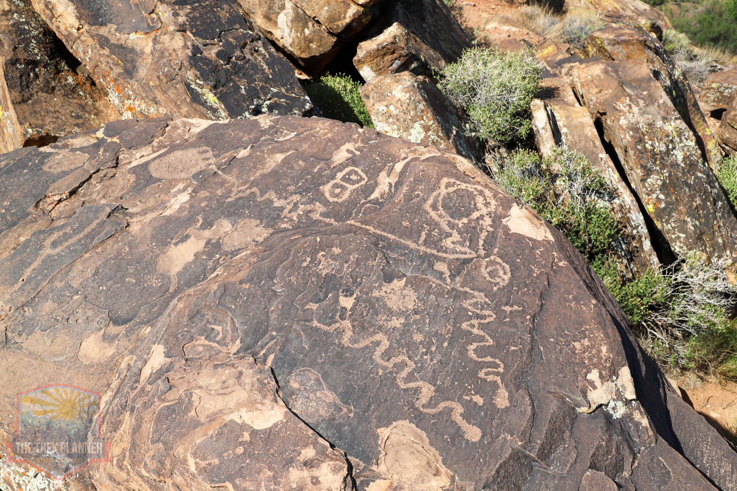
Some of the petroglyphs I found are swirls, spirals, anthropomorphs (human-like depictions), zoomorphs (animal-like depictions), footprints, and many other figures. It’s almost impossible to know what the original authors meant, but you can see the classic big horn sheep depicted here.
The trail continues on and follows the ridge to the other side of 3 Mile Canyon. There are more petroglyphs near the southern side of 3 Mile, but this post focuses just on this part of the Anasazi Ridge.
These petroglyphs could be hundreds to even over a thousand years old!
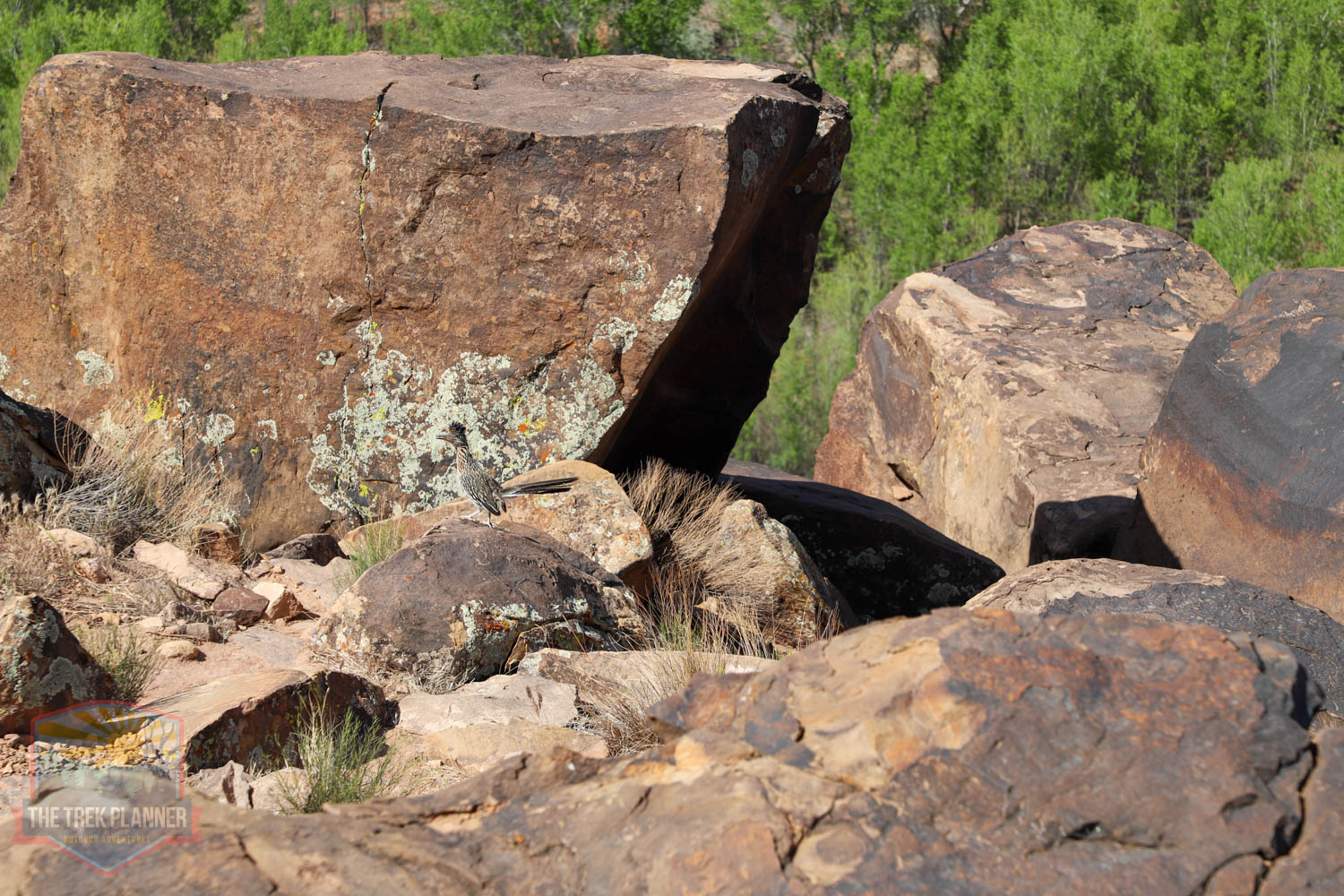
On the way back I heard some rustling in the bushes below me. I saw an interesting bird make an appearance – it was a roadrunner! Can you see it in the picture below?
Note: The term Anasazi might be a little confusing. The Anasazi people are more-and-more referred to as the Ancestral Pueblo people who lived in the Four Corners Region of the United States that even reached all the way to the St. George area!

Personal Thoughts
This is a great trail! You won't have to drive hours into the desert into a remote slot canyon to see incredible petroglyphs. The Anasazi Ridge Trail petroglyphs feature some of the best in the Southwestern Utah area!


