
Blanding, Bluff and Comb Ridge
Blanding, Bluff and Comb Ridge – Utah
November 27, 28, & 29
2020
Comb Ridge is Wonderful! Amazing! Immense! Mysterious!
My mom and I have been wanting to visit the Comb Ridge for a few years now. We both love how there are petroglyphs and ruins all over. We decided that after Thanksgiving would be best since we could take a long weekend. We told my sister Sara and she was almost more excited to come exploring!
Comb Ridge is this incredible strip of land that juts straight up into the sky. From a distance, it looks like a comb, and it’s full of many archeological wonders. From Northern Utah, it’s about a 5 1/2 hour drive to Comb Ridge. We left in the morning and drove straight to a hike I’ve had on my list for a few years now: Target House Ruin. We got to the trailhead at about 3:30 pm and had enough daylight left to see this incredible ruin and also Ballroom Cave Ruin. These particular ruins are in the northern part of Comb Ridge even though they are also in the greater Cedar Mesa area.
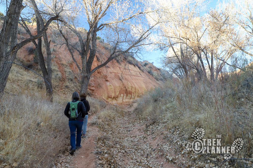
The trail was easy and it followed old and large cottonwood trees in a dry wash. We didn’t have any gps coordinates to the ruins, but we did have a few maps that we matched up with another map I downloaded so I had a good idea on where the ruins were located.
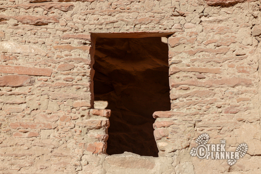
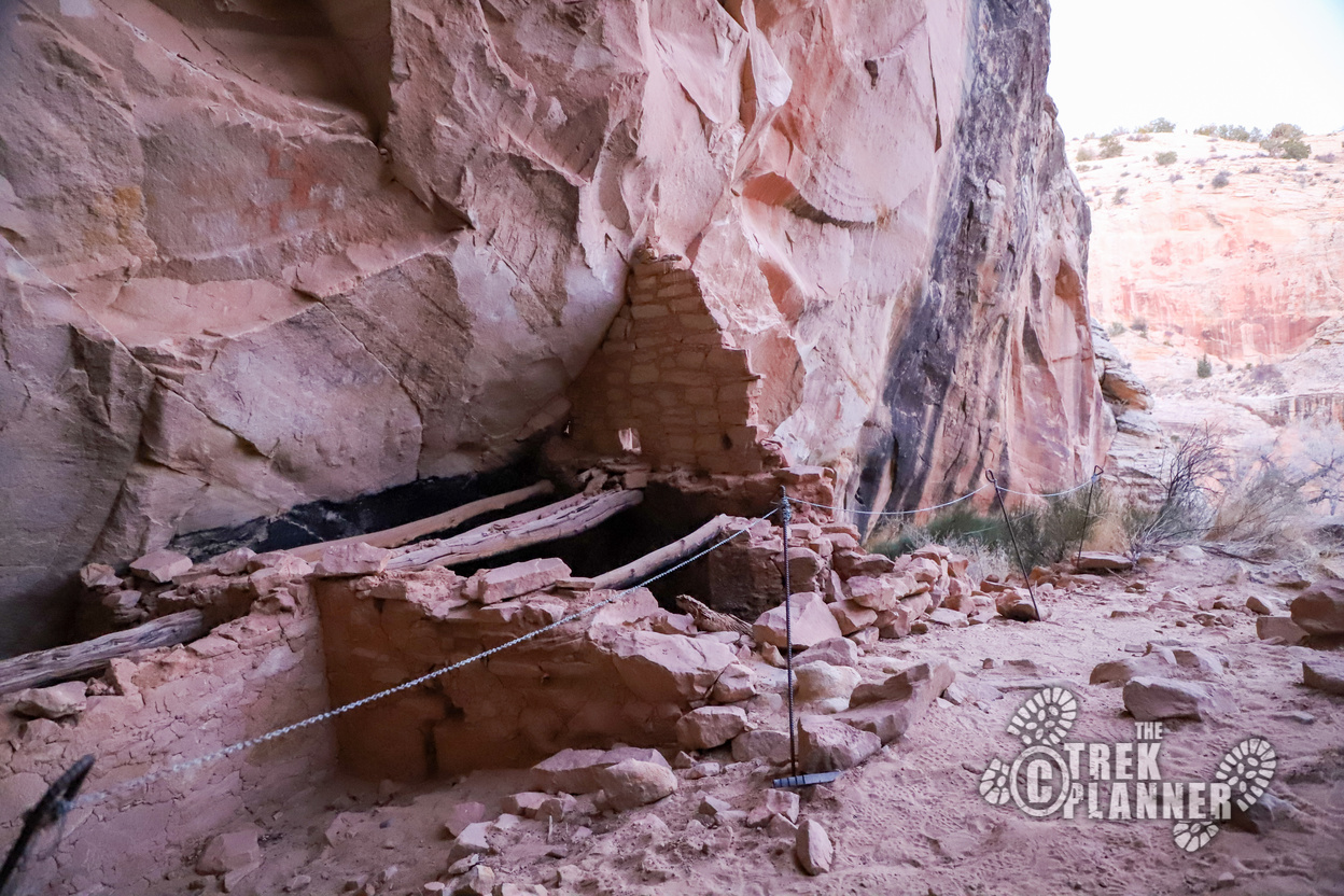
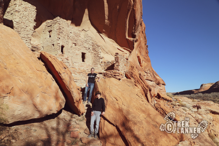
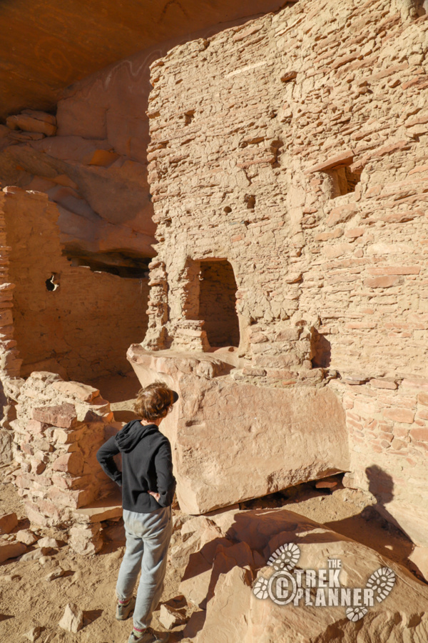
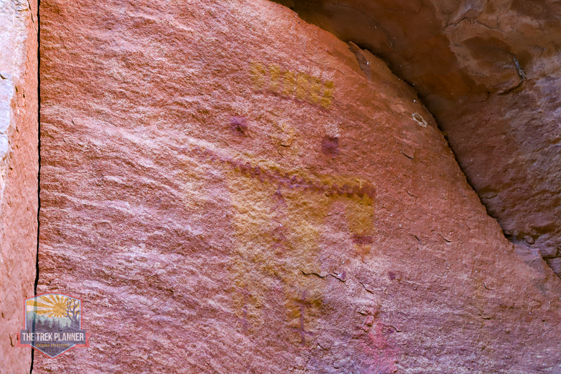
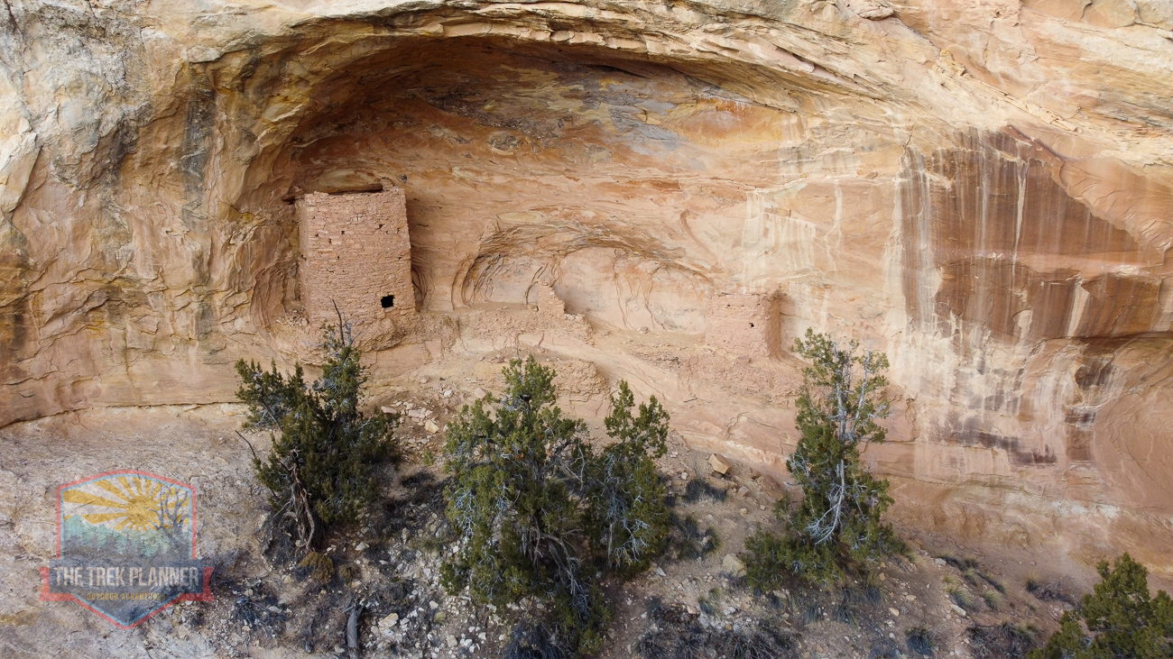
Target House Ruin is a ruin that is about 40 ft. above in a small alcove on a sandstone wall. The ruins are still in great condition and you can even see some of the old paint that was used on the outside of the ruin walls. The structures literally fill the entire cavity in the alcove and it makes you wonder how they got up there!
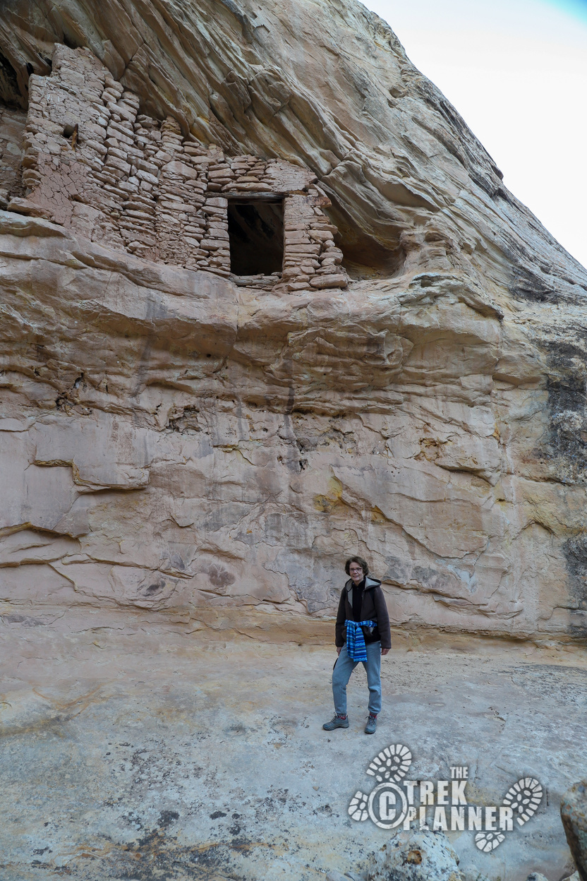
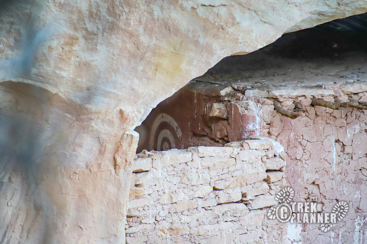
Just then, we spotted two carved indentations in the ground where a ladder was put to access the ruins above! It was fascinating to see how much care and thought went into creating the structures. Why is it called Target House Ruin? To see why it’s called this, you must climb higher on the hill to the south of the ruin. Once at the top, look into the upper left side of the ruin and you will see what looks like a painted white target. Of course, this symbol wasn’t a target to the people living here more than 1,000 years ago. But to us modern people, it looks like a target!
On the hillside underneath another alcove you will see a few more ruins and also a small chain fence keeping people out of it. Please respect this area by not crossing over into it. Make sure to look for the large boulder where the ancient people grinded corn and other food here. There is also another ruin in a crevice of a rock just to the east of these ruins. We continued our hike north from here until we came to a small cave.
We originally thought this was the Ballroom Cave ruins and found a few small broken structures. We then realized the actual Ballroom Cave ruins were the next cave north of us. We hiked around scrub oak trees until we saw the giant cave opening.
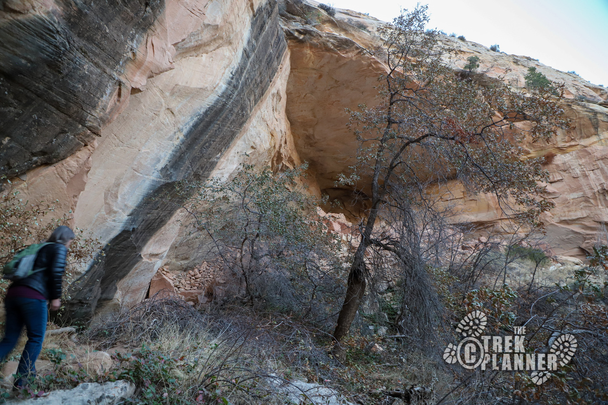
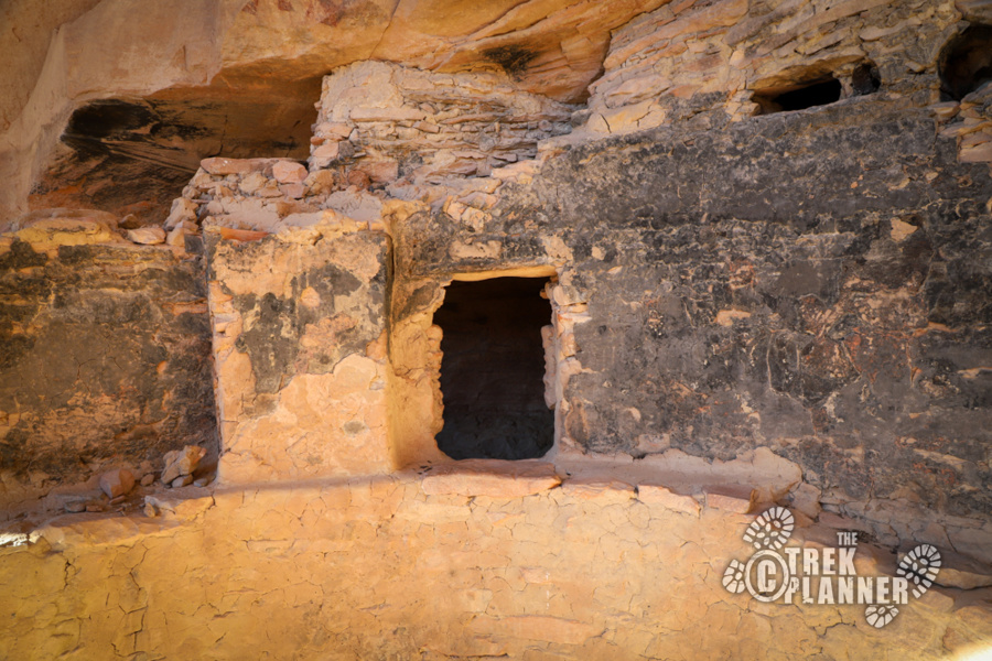
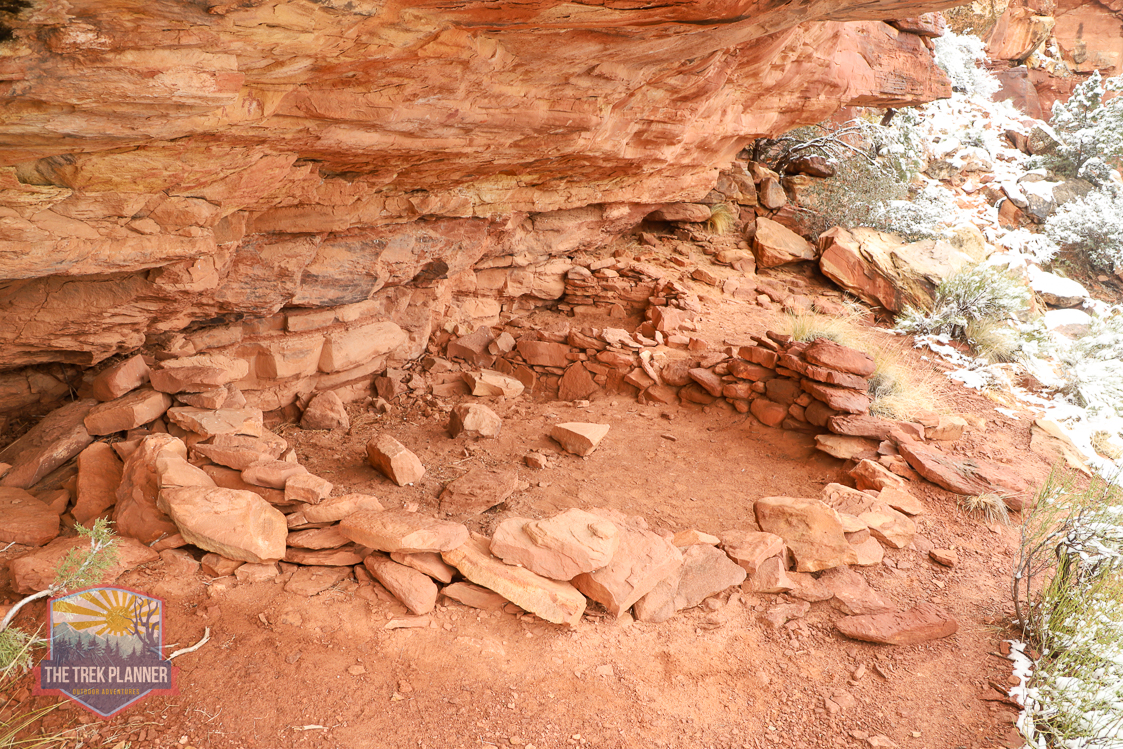
Ballroom Cave is an actual cave and not just an alcove. The ancient pueblo peoples built a nice wall so you couldn’t see the cave opening. This wall is still intact to this day. We climbed around the wall until we saw the cave opening and we went inside. Good thing we had super bright flashlights with us because this cave goes back 100+ ft on both sides! There are numerous structures including signs of fires inside the cave. We found ancient corn cobbs scattered about the cave too.
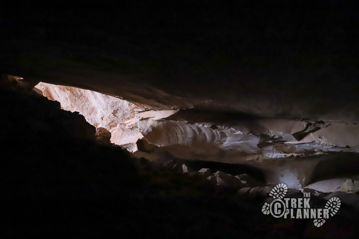
Please do not disturb the ruins or enter inside the structures. Almost all of these ruins have been looted or ransacked, but there are still discoveries waiting to be made by legitimate archeologists. We took lots of pictures and headed back outside the cave to the north side. At the north side you will see another cave with some ruins inside them. We saw lots of boulders with carved foot and hand holds! There is a square kiva just on the outside of the cave where you can see the original roof supports. You can see the blackened walls where a fire was used inside the kiva.
We took some pictures before the remaining light was gone and headed back to our car. We quite enjoyed hiking in the dark underneath the cottonwood trees. The moon brought in some light to make it even more enjoyable!
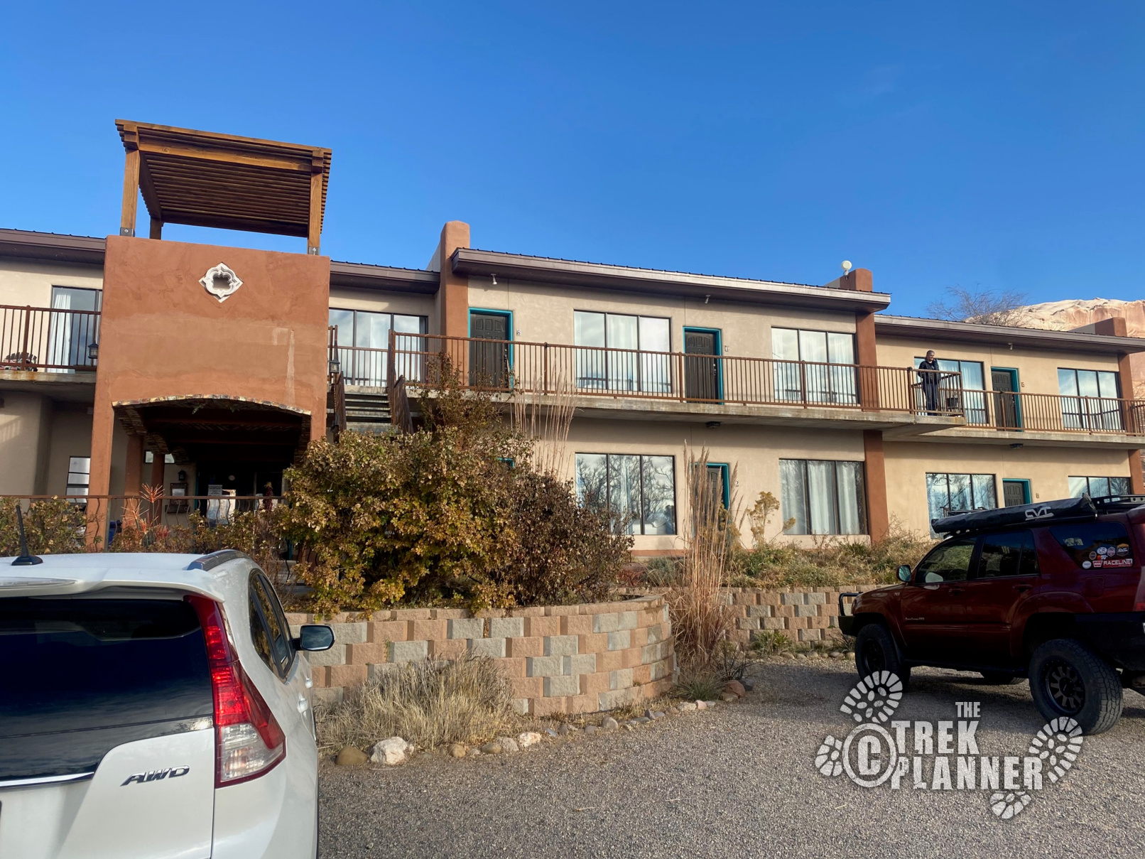
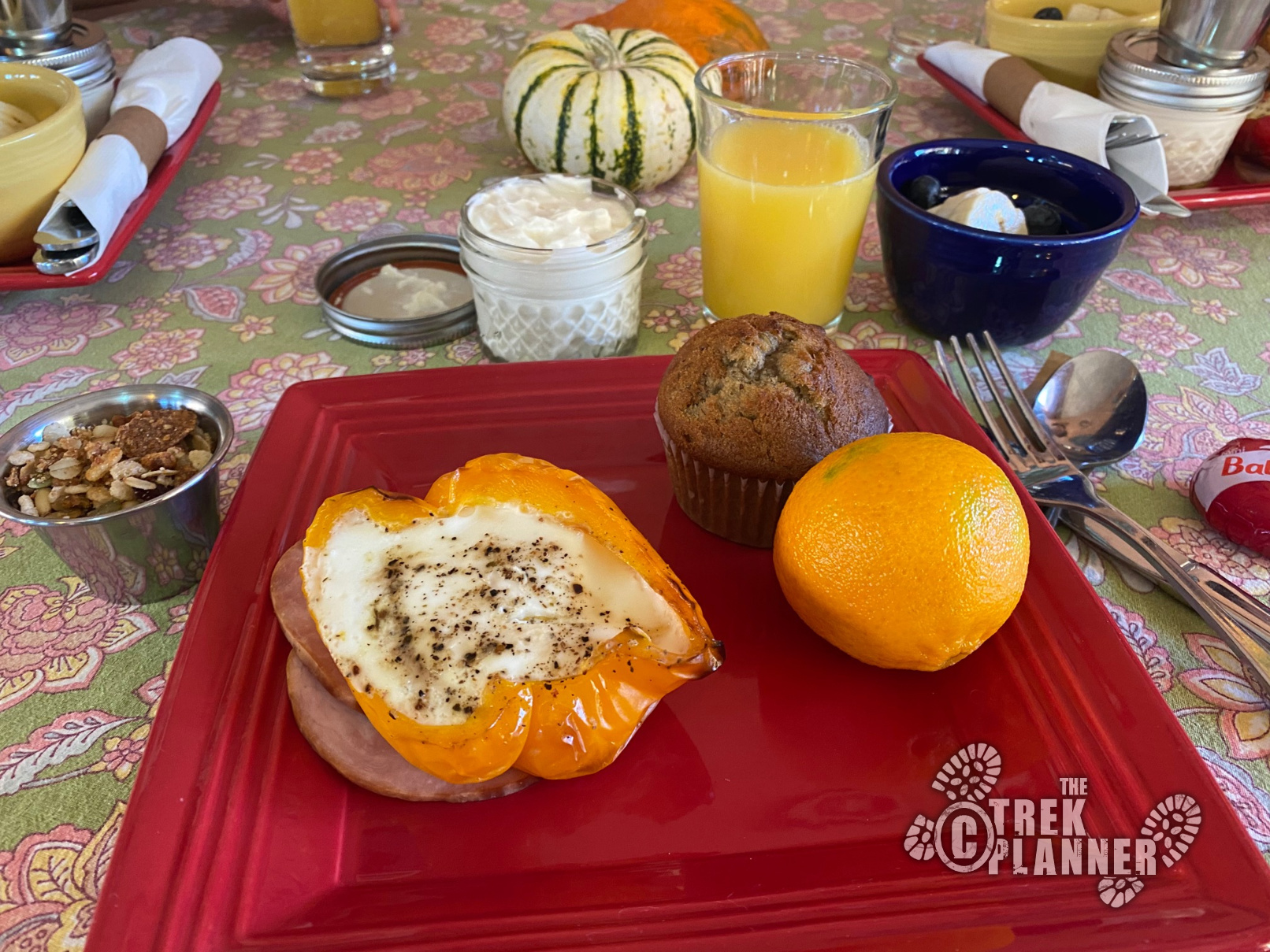
We then drove the half hour to Bluff for the night. We stayed at a local place which is one of our favorite places to stay! They have a great breakfast and the rooms are comfortable and spacious! There isn’t much to do in Bluff at night, especially in the shoulder seasons! The only “restaurant” to serve dinner was the gas station, which had pizza and grill food.
The sun woke me up at about 7:15 am and we got up and ate some delicious homemade breakfast at the inn. We then packed up our car and headed towards Comb Ridge. Comb Ridge is only 10 minutes away from Bluff and so we were in no hurry this morning. Plus, it was still pretty cold outside so we wanted the sun to warm up before we got to our destination.
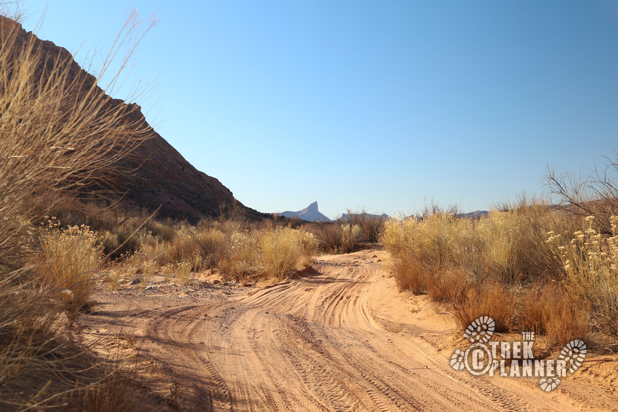
After leaving the highway, we got on Comb Wash, which was completely dry at the time. The dirt road was very sandy and provided us with soft driving. There were some rock obstacles that made this journey a little difficult. We were driving a medium-clearance vehicle and had to all get out to make sure we didn’t scrape the bottom. It was exciting and nerve-wracking a the same time because we were far away from a mechanic, but it was fun to work as a team to conquer any of the off-road challenges.
We went in and out of the wash as the road weaved all over the place. We eventually came to an obstacle that was just too high for our vehicle to get over. We parked and hiked up where we could see the San Juan River.
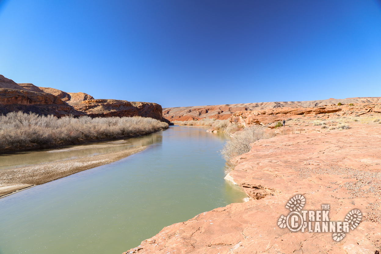
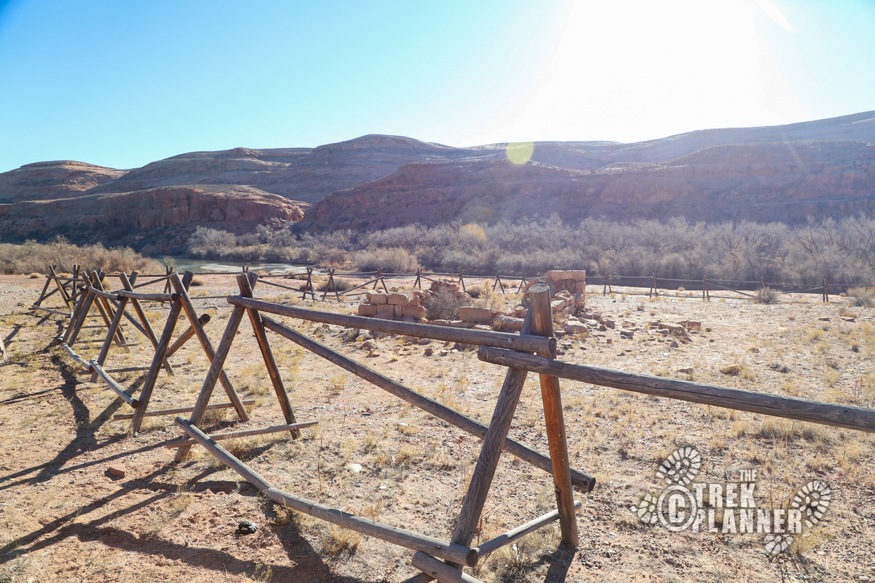
Good thing we got out here because there was another very difficult part where our vehicle could definitely not make it. I recommend a truly high-clearance with 4-wheel drive. This isn’t the most difficult off-road experience I have been on, but if you aren’t being careful, you could easily pop a tire or mess up your car pretty bad. We continue our hike to where we can see a fenced area. We get closer and see a sign saying that this used to be an old trading post from about the 1880s.
The trading post ended and some ranchers moved in and made some more buildings. The building that is behind the fence is the old milk room. To the east of here is remnants of a water wheel that was used to bring water from the San Juan River up the cliffside.
We explored all of these and found some petroglyphs and even some rock tools! We kept hiking towards the River House Ruins and quickly discovered that other people were already there. They had hiked from a campsite nearby and we figured we would come back when they were gone. The trail kept going and so we followed it down until we saw some more petroglyphs. There were so many that it was impossible to stop taking pictures.
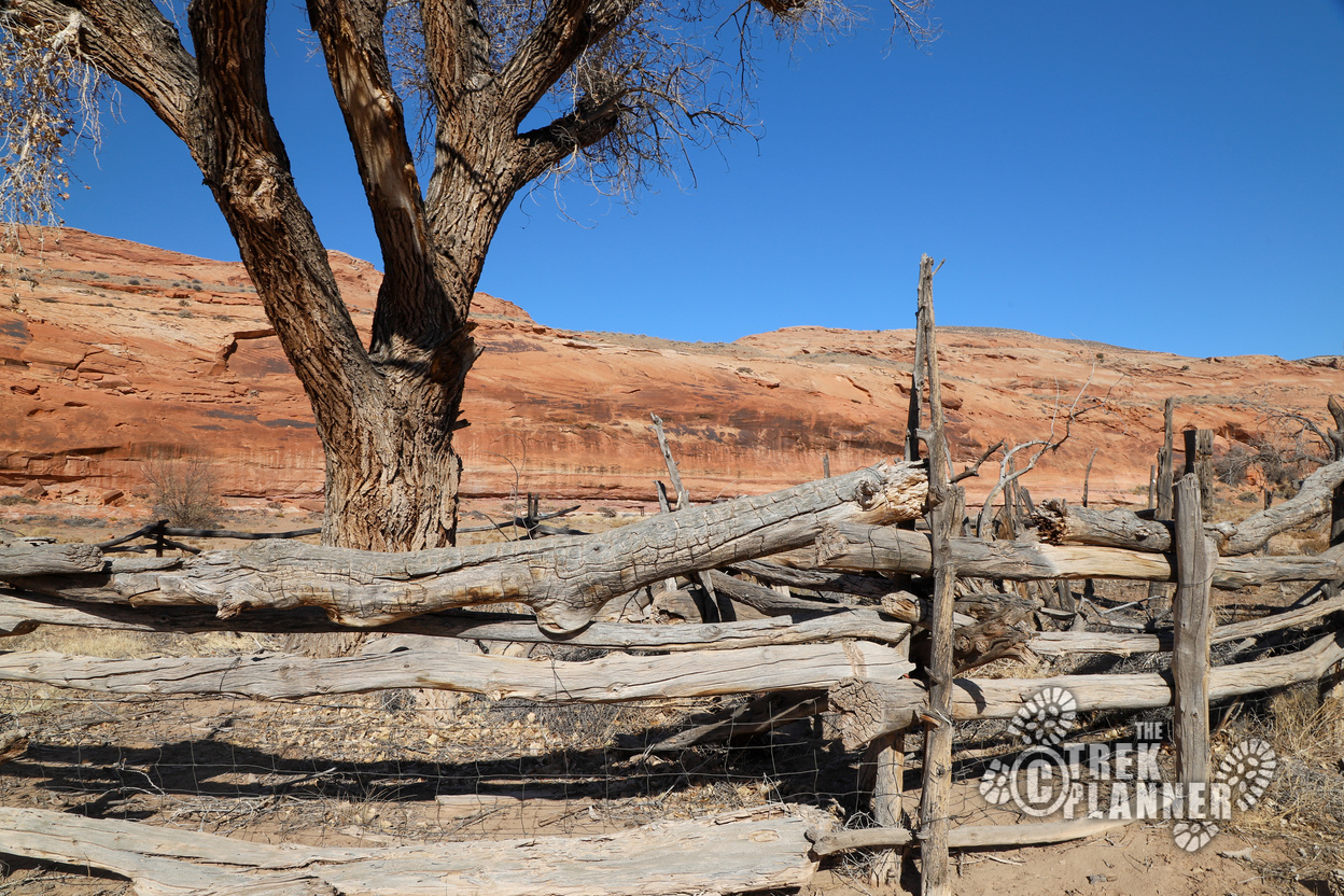
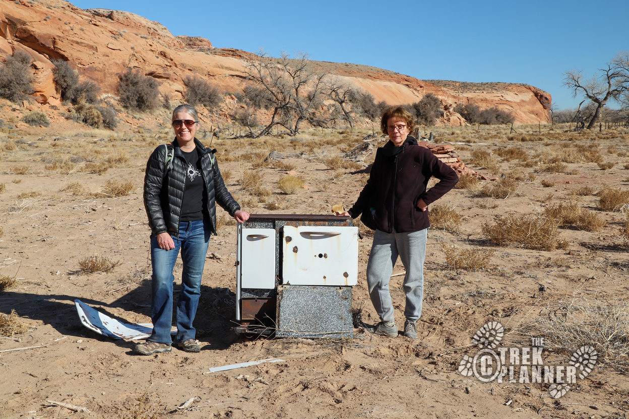
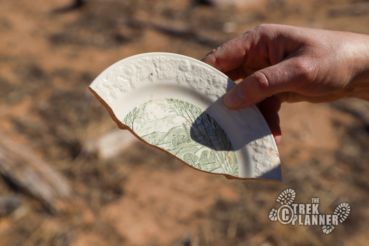
We also found a ranch with a broken cooking stove and scattered pieces of metal, dishes, and some tires. This was probably the old ranch that was built after the trading post ceased operations. It was at this point a man on an ATV appeared and stopped to talk with us.
He asked if we left our white SUV down at the wash and he said he was surprised we made it that far on the Comb Wash road. We talked for a moment and he pointed out where most of the rock art was located. Apparently he is a local from Bluff and loves to visit this area. I feel like he is one of the unofficial stewards of this area. He just knew too much and had a confidence about him.
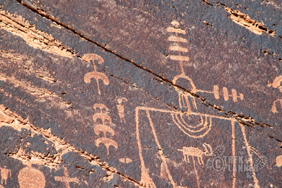
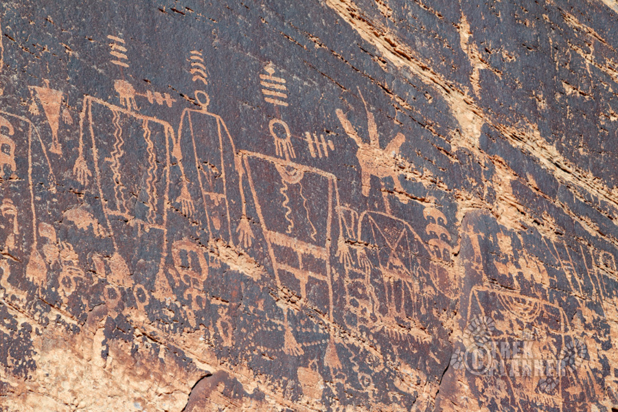
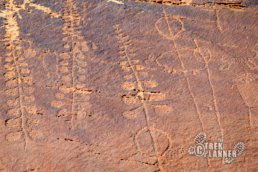
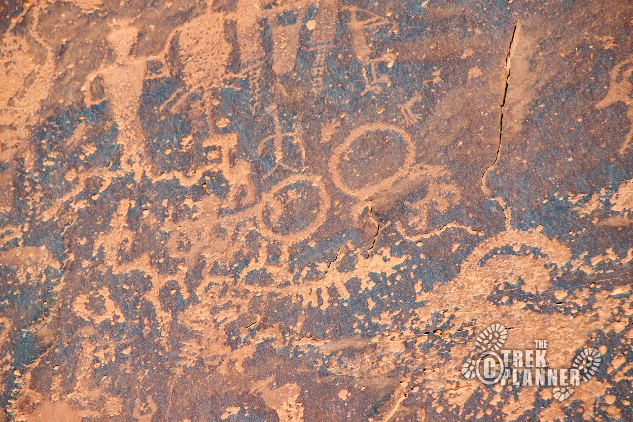
He told us about the Kachina Panel at the end of the road we were on and so we continued down there. We got to the panel and spent a good amount of time taking photos and seeing this incredibly large panel. The Kachina Panel, which is officially called the Butler Wash Panel, is located at the base of some steep cliffs about 50 ft. from the San Juan River.
The panel stretches about 100 yards and has hundreds and maybe thousands of petroglyphs. So many interesting rock art can be seen including large anthropomorphs (human-like figures) with crowns or symbols of status, power, or who knows, above their heads. This is a strange panel and it makes me think about what the original meaning was.
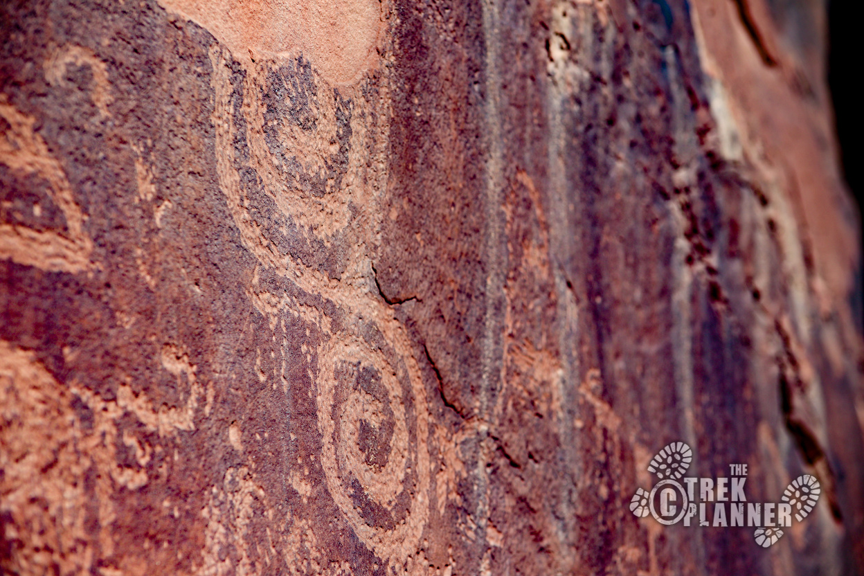
We hiked back about 1.25 miles to the River House Ruins. These ruins are incredible and worth the visit alone! You are allowed to hike in the ruins, but please do not enter the rooms or climb on the stone walls. You can see lots of rock art including interconnecting spirals, snakes, handprints, and more. This was a small community and you can clearly see that they loved this area. To read more about our visit the River House Ruins, click here.
We then went hiked back to where that old Milk House was located and took a look at the San Juan Hill. This was the original road that Mormon Pioneers made as they were going to settle in Bluff. This road is very steep and in fact, it was so steep that some of the oxen who were pulling the wagons up this hill died still in their yokes as they were straining to get to the top.
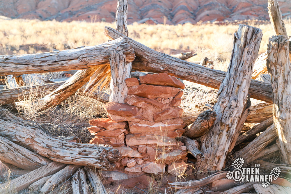
We got to our car and then drove to a spot where I found an old Navajo hogan on top of a hill. A hogan is a traditional living structure for the Navajo people. It was a short hike, but found that maybe this structure was originally a hogan, but that other people moved in later. There were hints of modern life, including metal cans and even an oven. The hogan had logs in a circular fashion and was overlooking a valley.
There was still some daylight so we hiked to a place where I thought would be more ruins. We never found the ruins but we did find a beautiful canyon. That night we got some gas station pizza (it wasn’t bad!) and rested up the rest of the night.
This morning we got more delicious breakfast and made the very short drive to Sand Island Campground. There are hundreds of petroglyphs here and spent about 1/2 hour looking through binoculars at all the rock art. This is a great place to visit and it looks like a great place to camp too. I’ll have to come back here in the spring to see what the camping situation is like and I’ll make a post. After this we drove home!
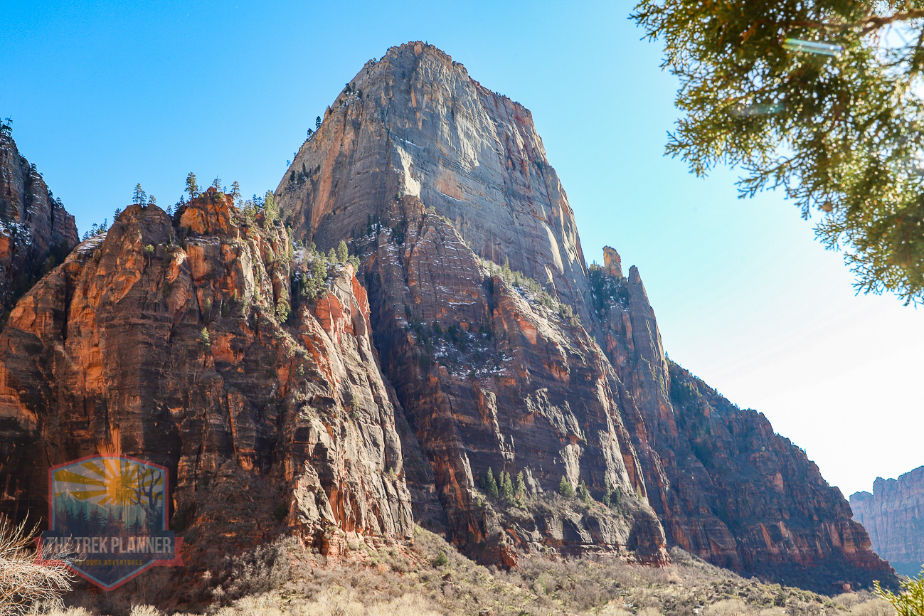
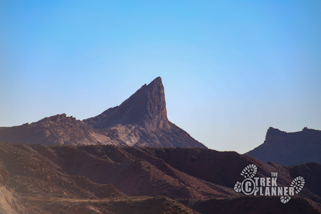
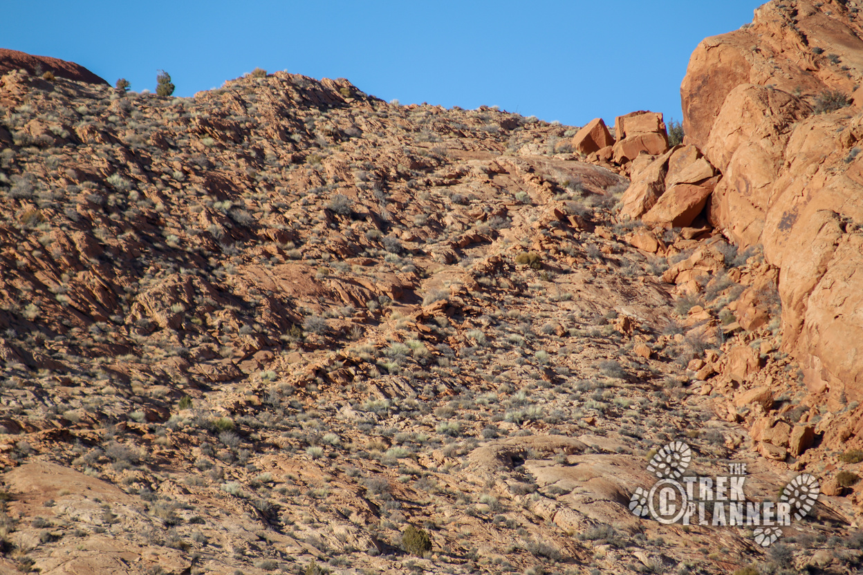
What is the name of the very pointy peak? I keep looking for it in google earth around Comb Ridge but I can’t find it.