Trek Planner Insider Content
Thank you for being a member!
The Trek in a snapshot
Location
San Rafael Swell, Utah
Managing Agency
BLM
Pets
I wouldn’t bring pets near this uranium mine
Fees
None
Restrooms
None
Camping
Not allowed
Trail Condition
Desert walking. There is a road you could follow. If you have an ATV or high-clearance vehicle you could make it to the lower areas of the mine
Sights
The “Crown Mine”, lots of mining relics and artifacts
Water Info
Bring a liter of water
Best Season
All
Distance
About 2.80 miles roundtrip
Time Required
2+ hours
Parking Elevation
5390 ft
Summit Elevation
5631 ft
Elevation Difference
241 ft

Trek Planner Maps
Turn-off: 39.03299, -110.69086
Grave?: 39.04035, -110.69421
Bigger pieces of metal and wood: 39.0408, -110.6941
Old foundations: 39.04121, -110.6947
Ore Bin: 39.04299, -110.69591
Ore Chute: 39.0432, -110.69587
Two Entrances: 39.04328, -110.69595
Upper Entrance: 39.04283, -110.69817

Experience. Discover. Explore.
Follow along on our adventure then go out on your own!


This is a Premium Trek
This mine is a uranium mine. Do not go near the mine tailings or the mine entrances.
While I was on a recent trip to the San Rafael Swell, I spent some time driving on the Buckhorn Draw Road. I stopped at all the major places like the famous pictograph panel, the swinging bridge, the dinosaur footprint, and even the sinkhole. But, I wanted to go off the main road and explore in some of the lesser known canyons.
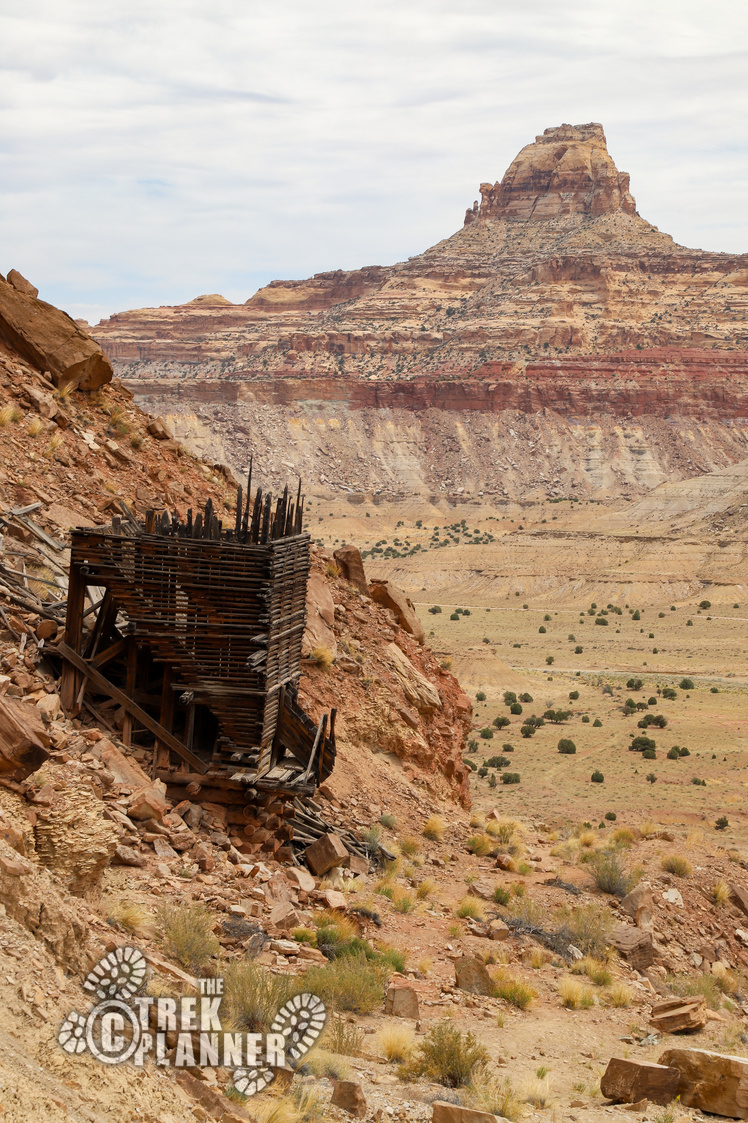
As I was taking one of these side roads, I stopped to use my binoculars and saw what looked like a structure near the top of a mesa. Since my binoculars are terrible and blurry and basically worthless, I decided to get closer and see if it was worth hiking to. After hiking about 1/2 mile, there appeared to be some type of ore bin high up, so I continued hiking across the desert to investigate!
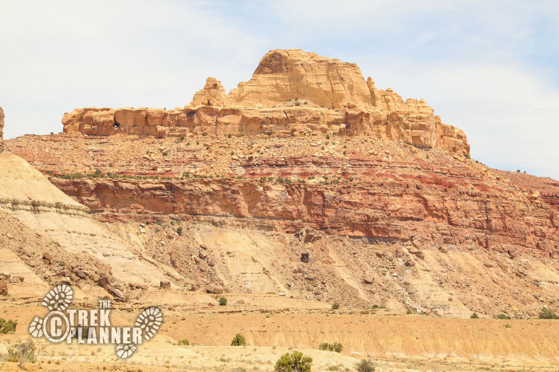
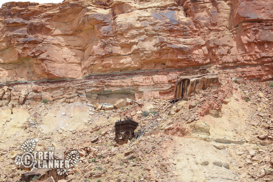
Note: I couldn’t find the actual name to this mine, so I named it the Crown Mine because it is almost on top of the mesa. Please be respectful of the historical structures and artifacts. Don’t take anything, disturb relics, or climb on structures. Do not enter any open mines.
This particular desert landscape had very low weeds and cactus and it made for easy hiking. It was made easier by cattle grazing and I simply followed some nice cow trails directly to where I thought the mining area was located.
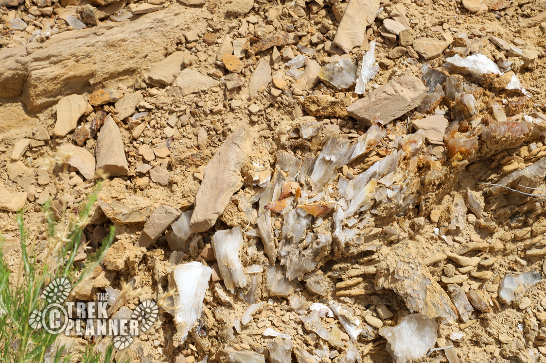
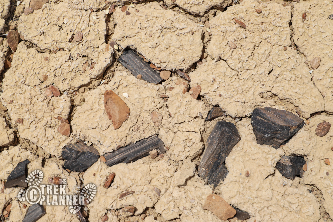
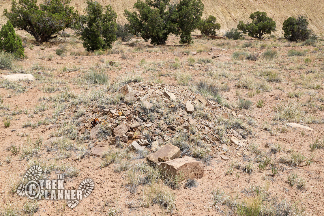
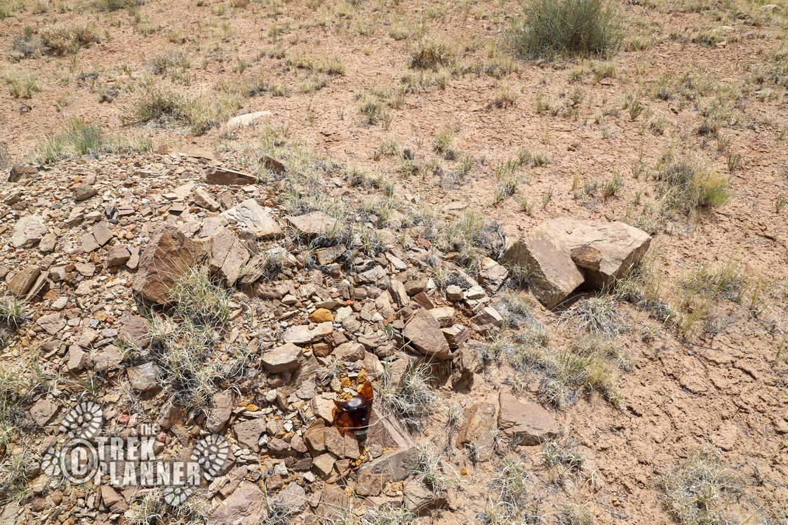
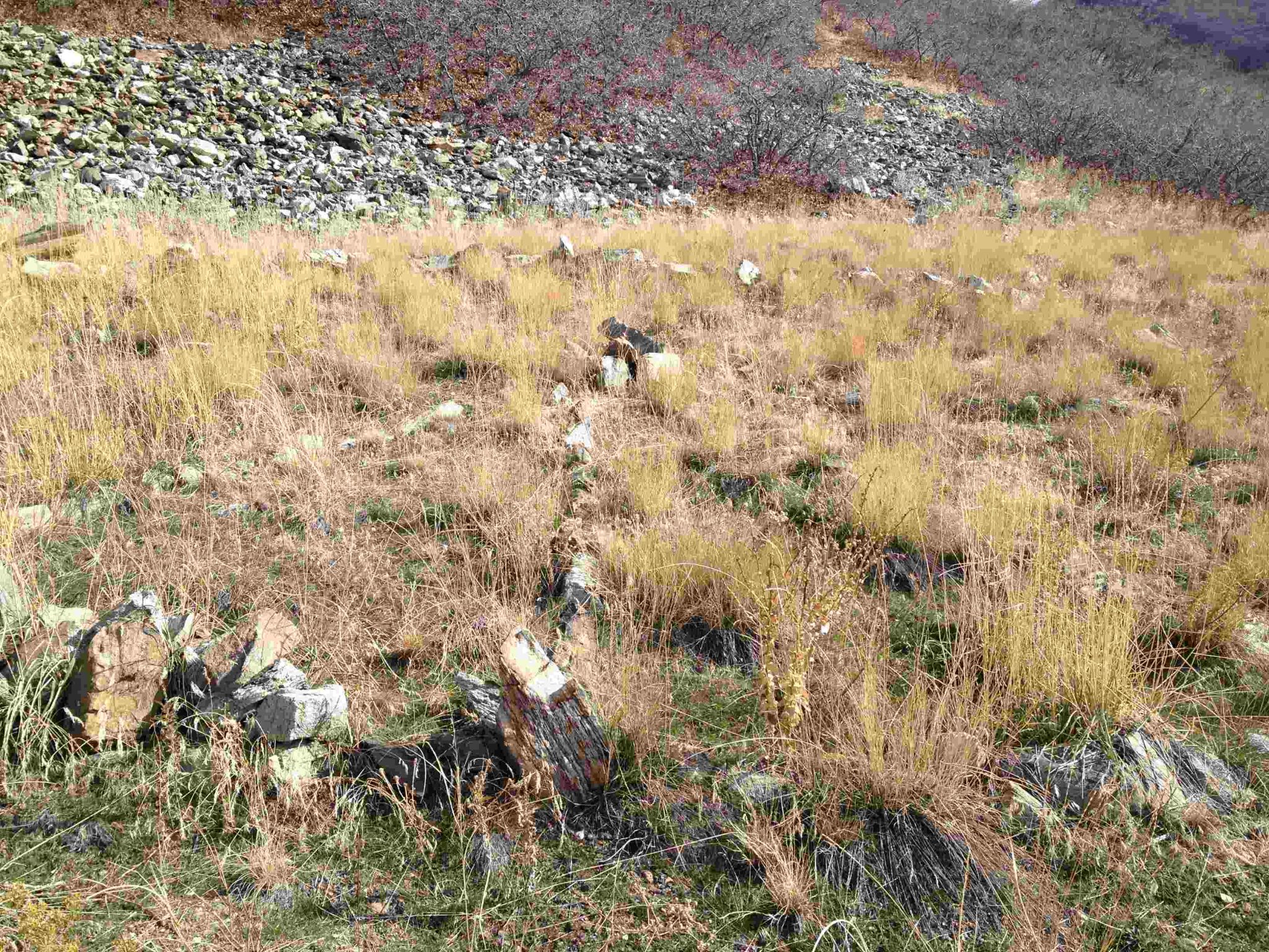
After hiking for about 3/4 mile, I began to see tons of mining relics including the classic rusted food cans, broken glass bottles, and pieces of wood and metal scattered. I also found this weird mound of rock and dirt with what appears to be a headstone. I’m not saying this is a grave, but it’s out-of-place and unusual, and my guess is that this could be a grave. Or, maybe just a pile of rock; I wasn’t about to dig through it to find out.
As I got closer, I found some larger mining relics including what I think are parts to some machinery and larger pieces of glass. I then hiked to the top of a small hill and found some outlines to some structures. I found four or five of them, but there are probably a few more around.
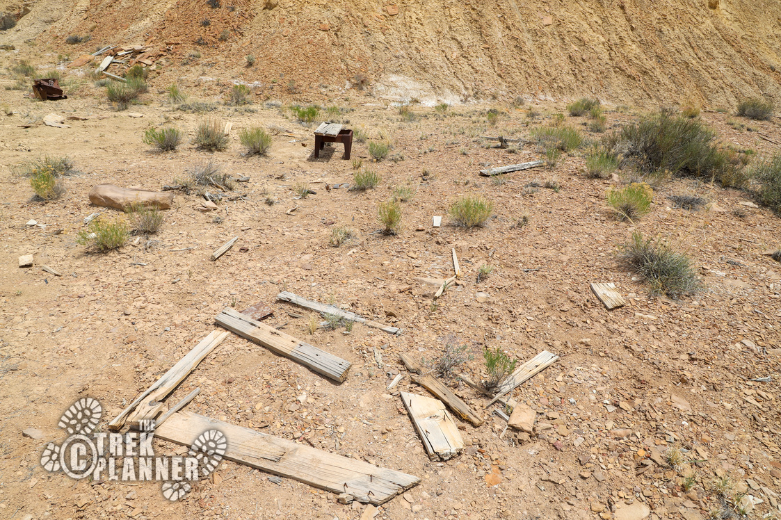
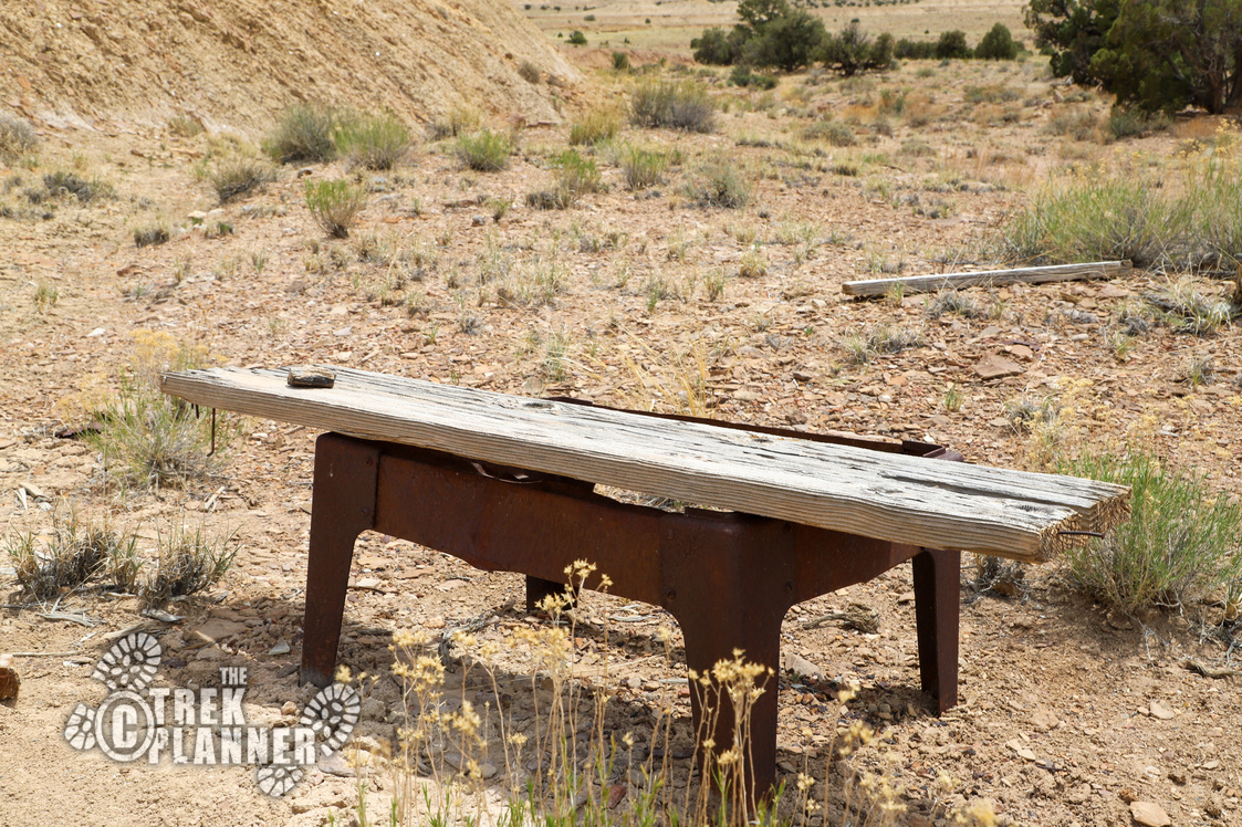
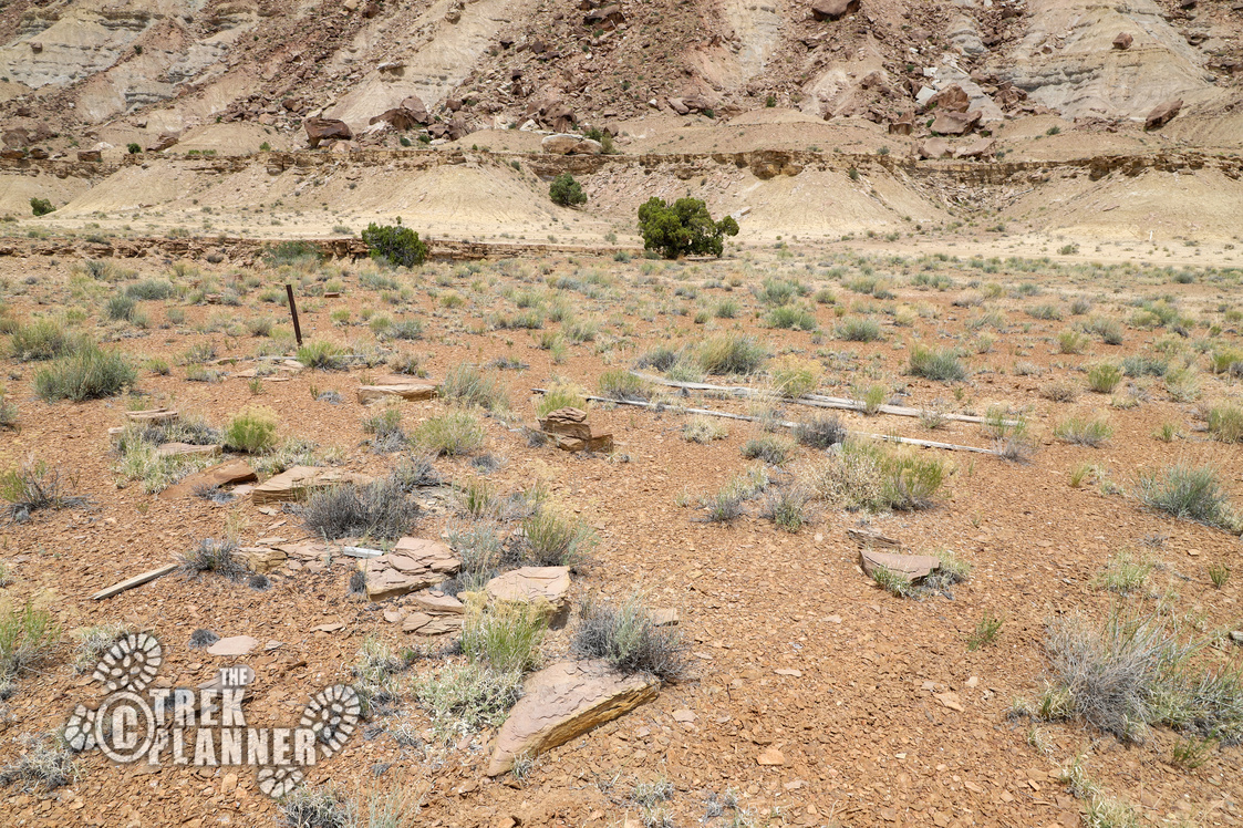
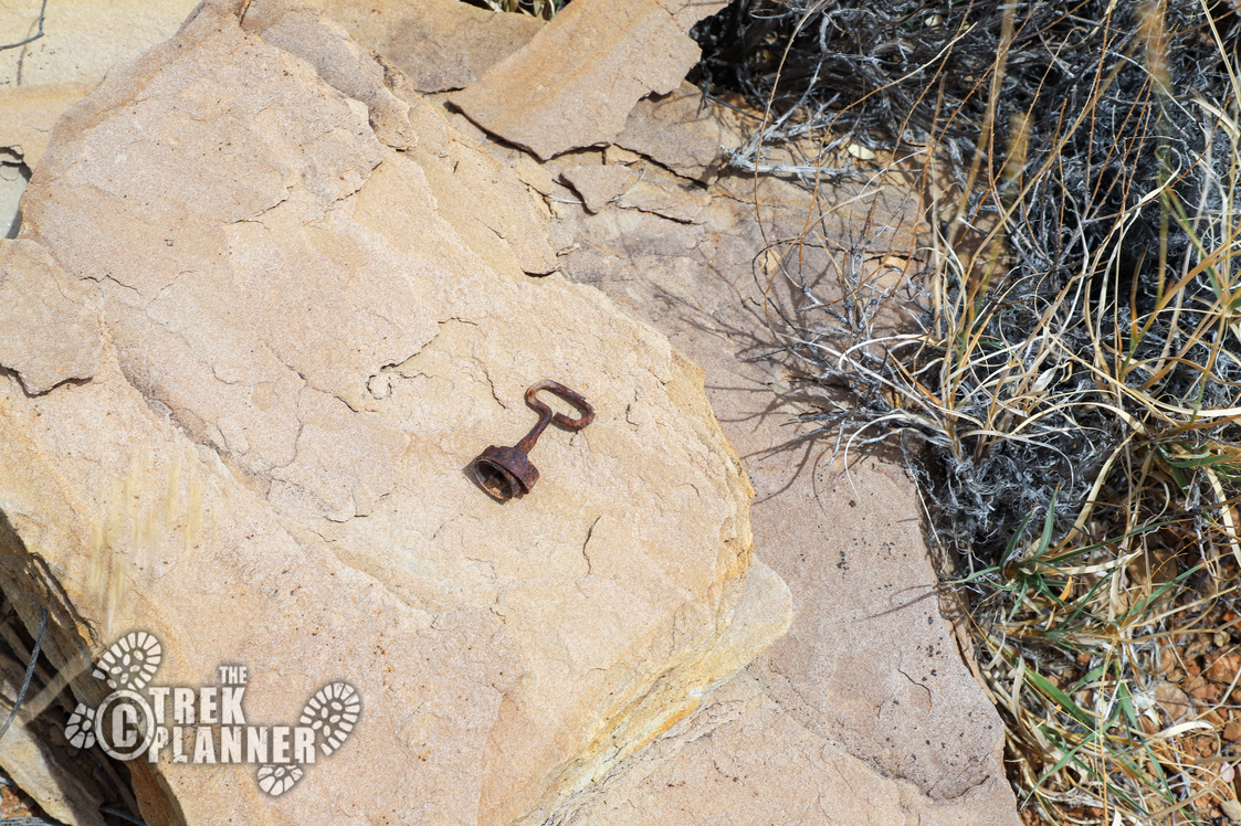
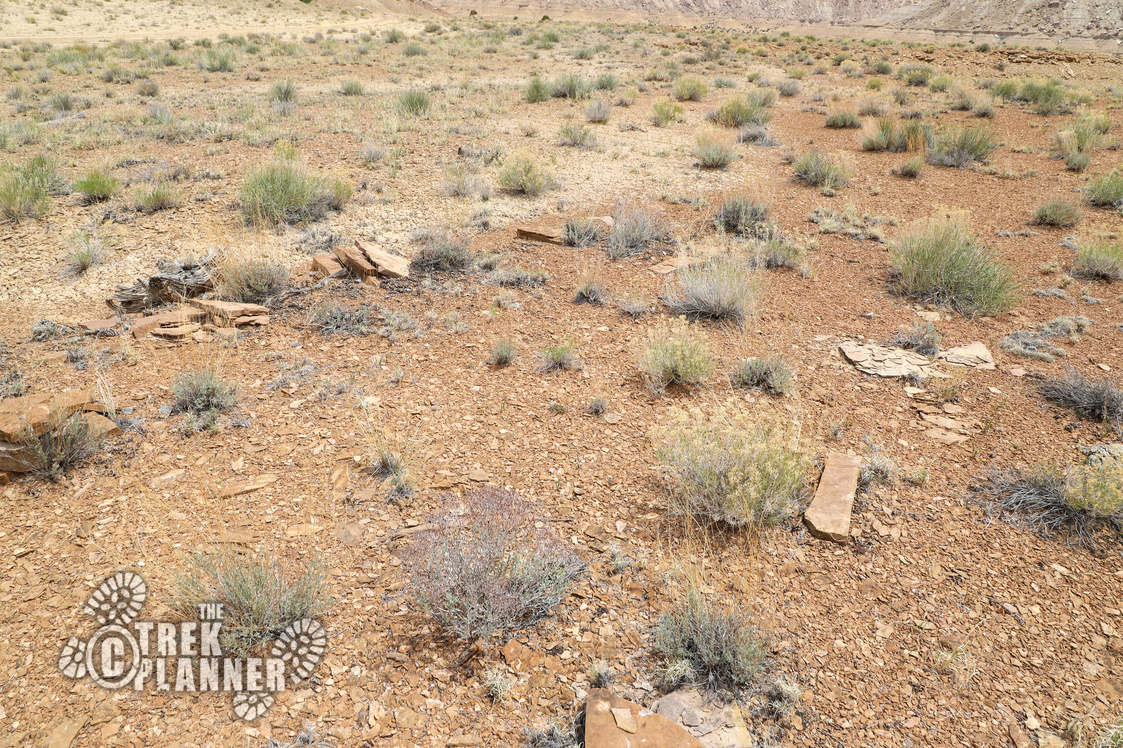
From here, I followed the road to the ore bin, since I wasn’t about to hike straight up in 100 degree weather! If you have an ATV or motorcycle, you could get within a 1000 ft of the mine (the dirt road is washed out in sections).
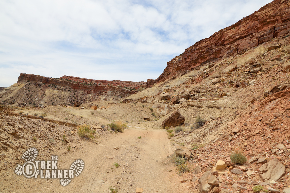
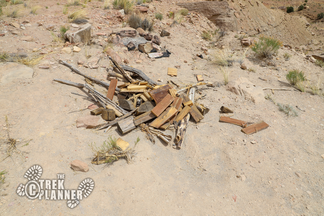
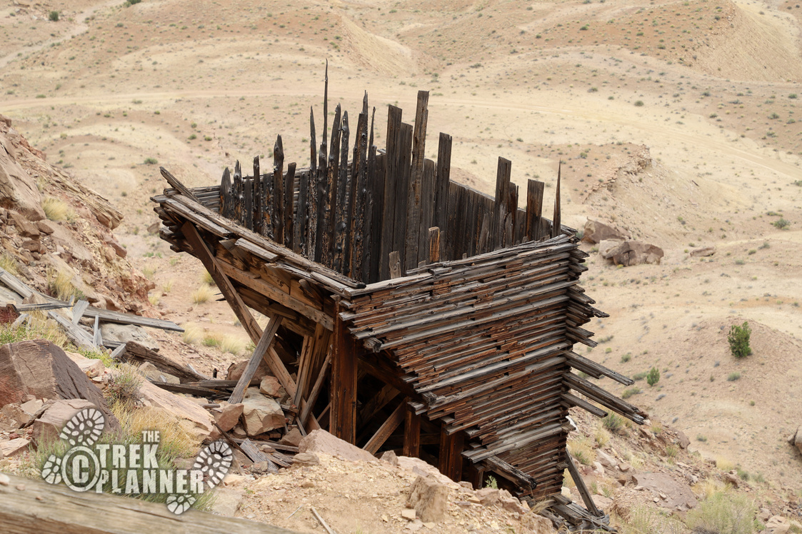
If you follow the narrow road you won’t see the ore bin until you turn the last corner and it appears! It’s made out of very dark wood and it’s mostly in great condition still! Do not climb on top or mess with the ore bin since it is a historical object and also not stable. Just take lots of pictures and enjoy it from a distance.
How the mining operation would work is that the ore would be brought down to the ore hopper where it would be dumped in and filtered and then it would slide into the back of a truck bed (this mine seems too small to support an ore train operation), through the small chute near the middle of the ore hopper, and then the ore was sent off for further processing.
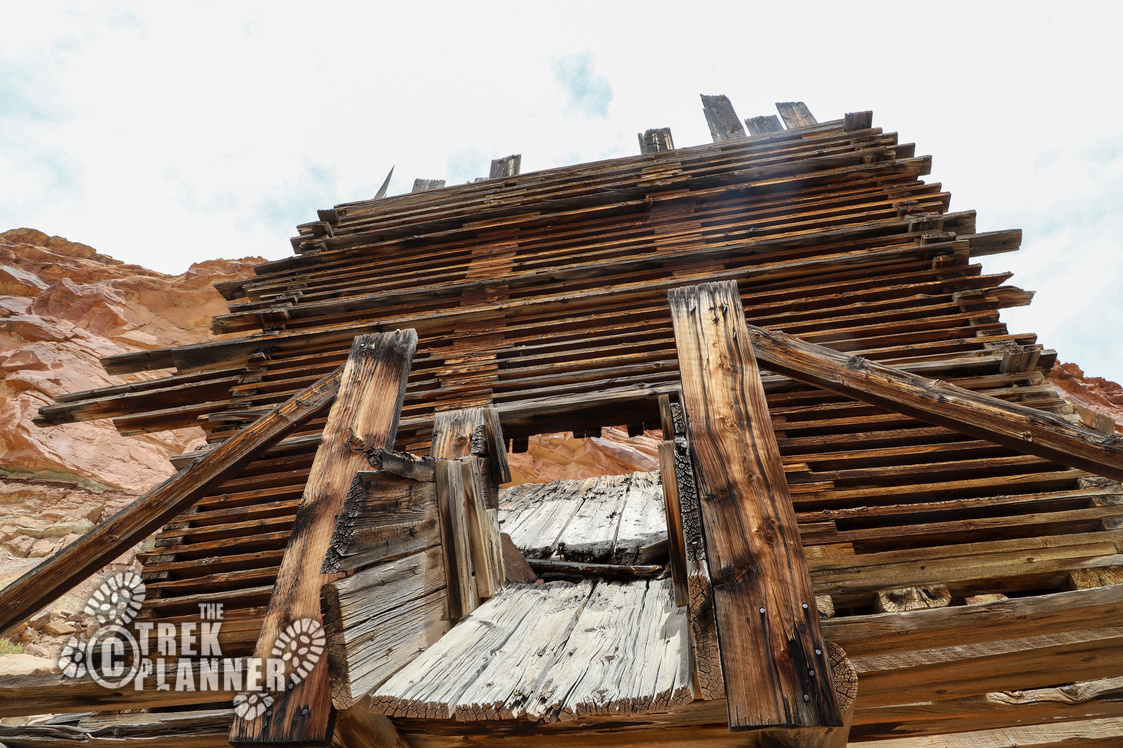
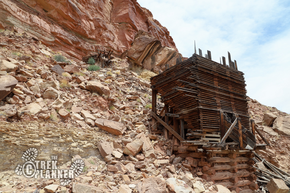
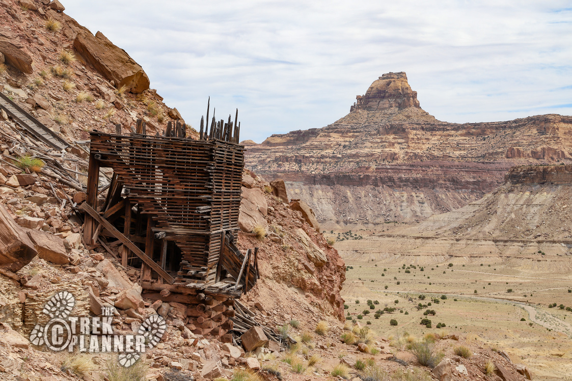

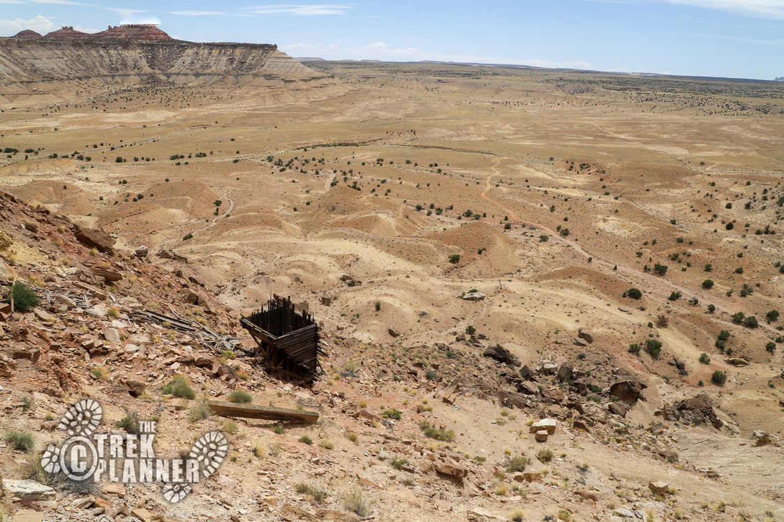
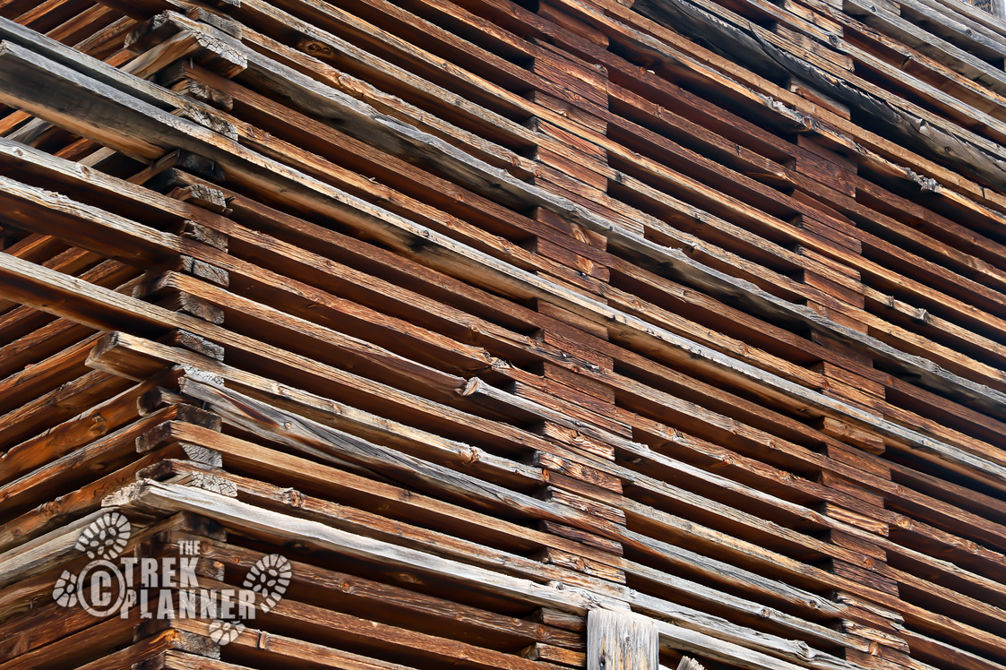

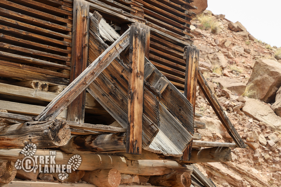
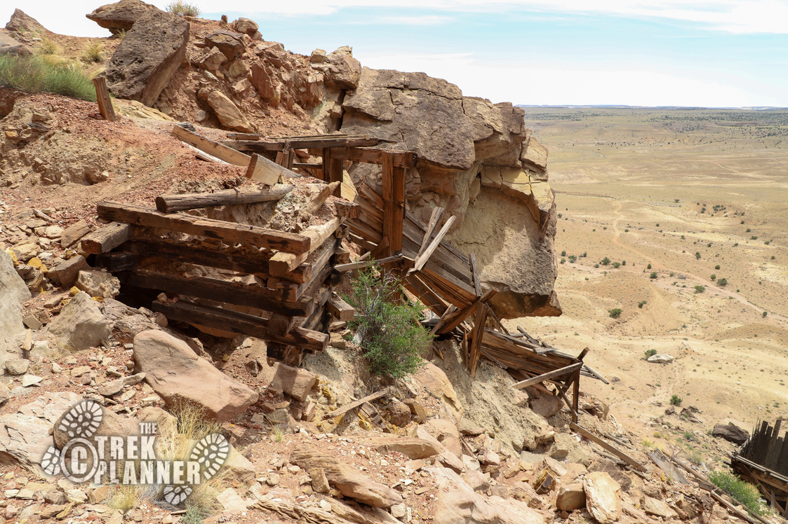
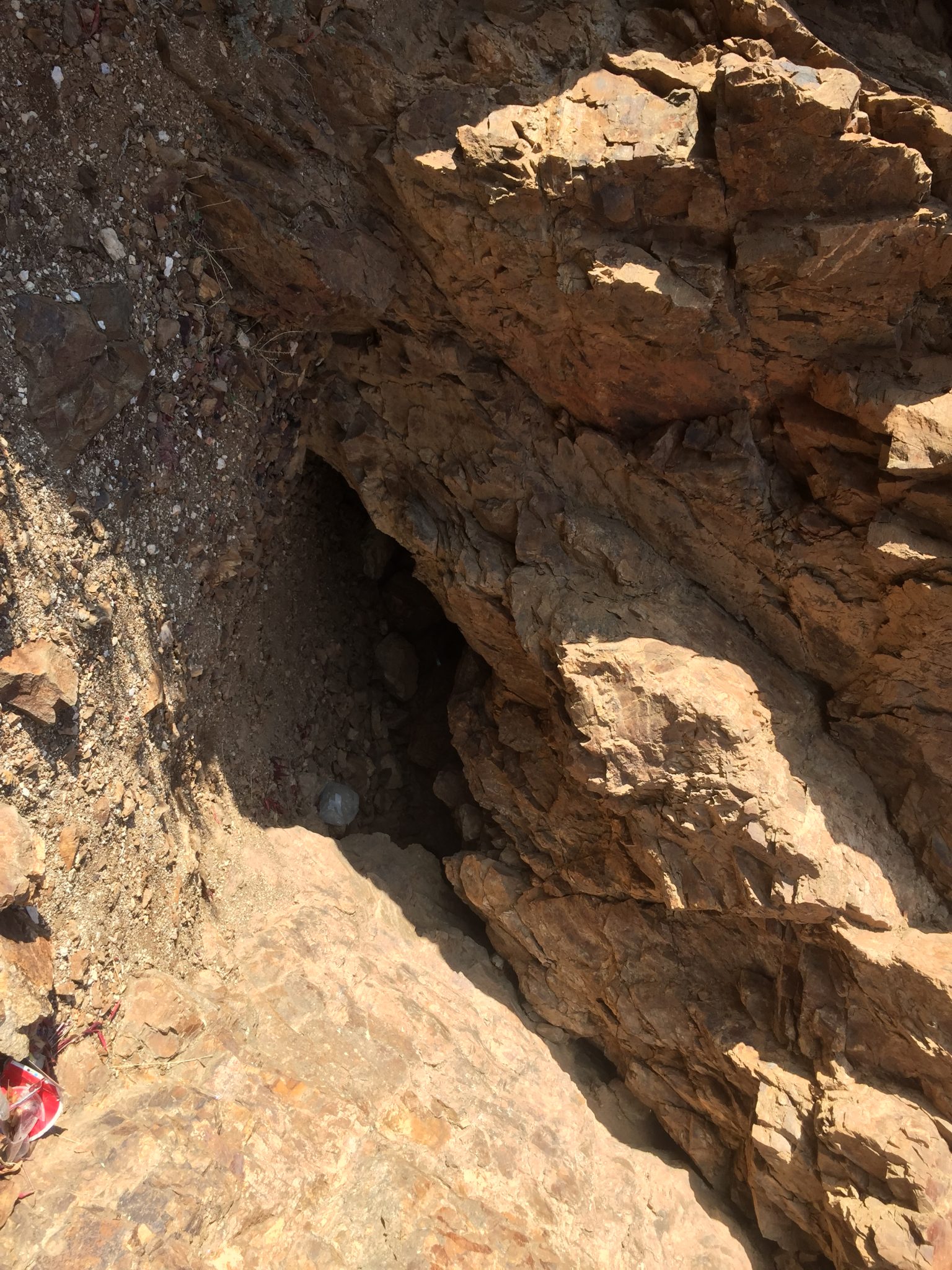
Above the hopper about 80 ft there is an ore chute so I decided to scramble up to take some pictures of that too. Ore bins are generally located near the mine entrances on smaller scale operations, so I figured the entrance would be right near the ore chute, and it was – it had two entrances! Both of them were sealed shut though. But, if I had to guess, I would say that this was a uranium mine of a good size operation due to the structures and evidence scattered around that supports that theory – I could be wrong though!

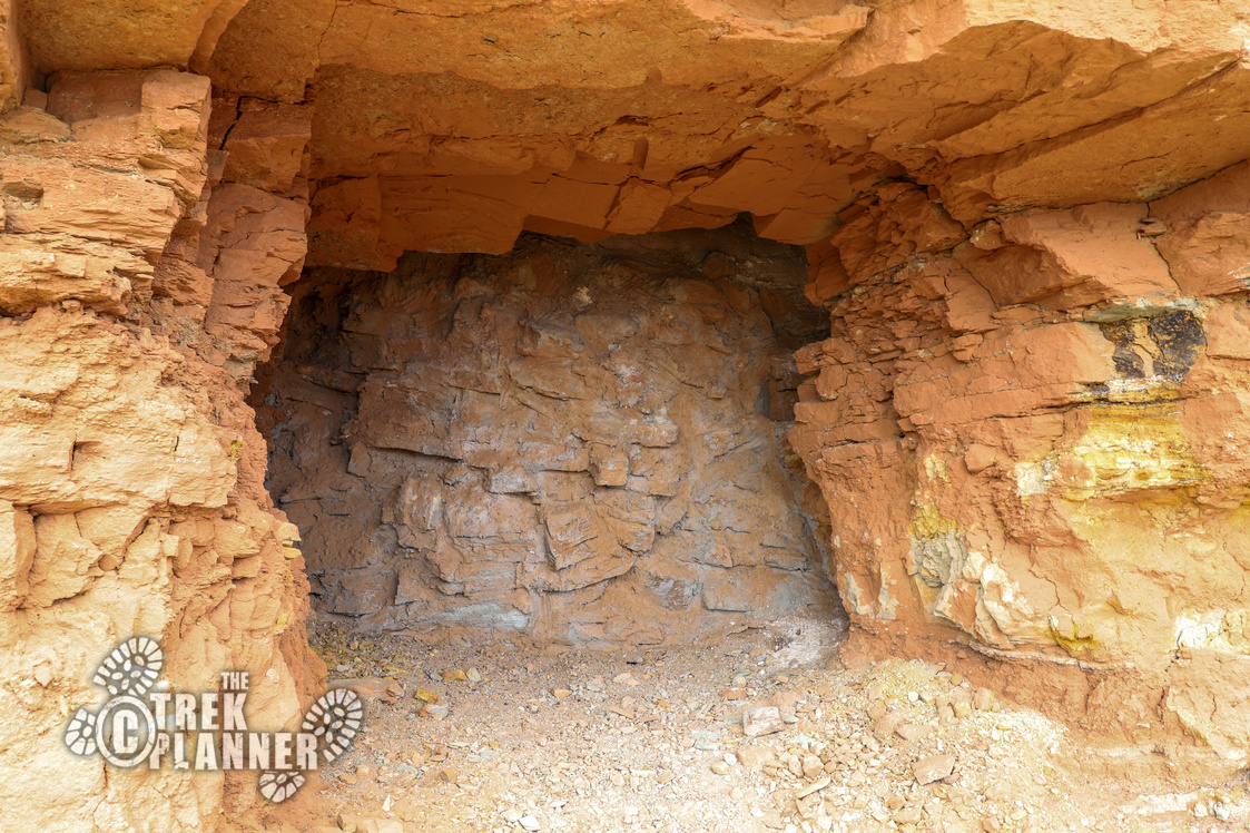
This mine was interesting because it had two openings right next to each other!
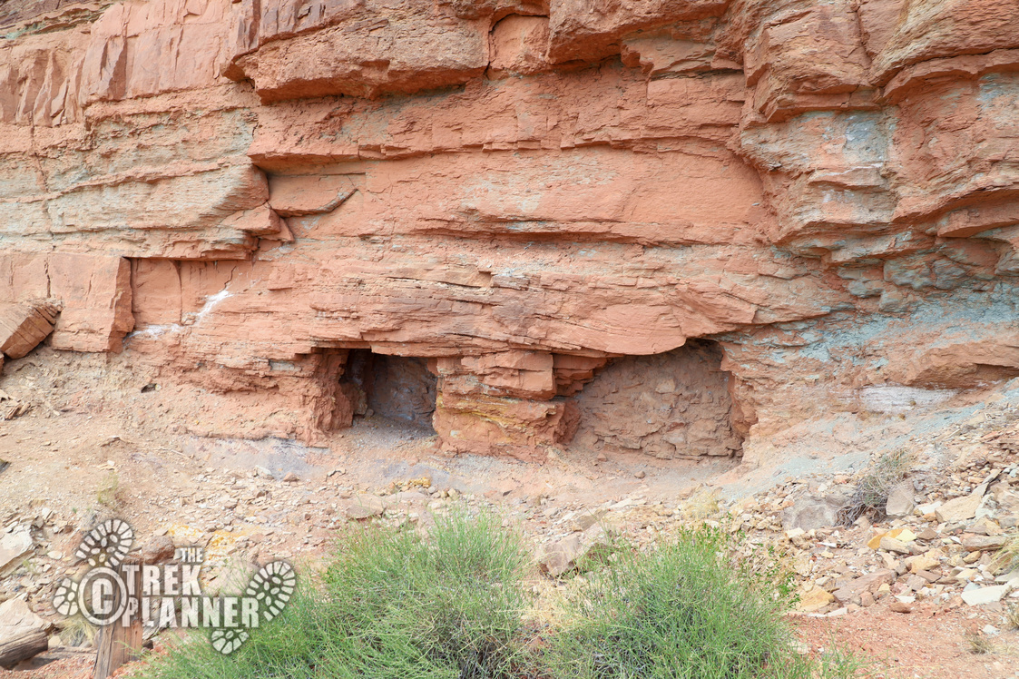
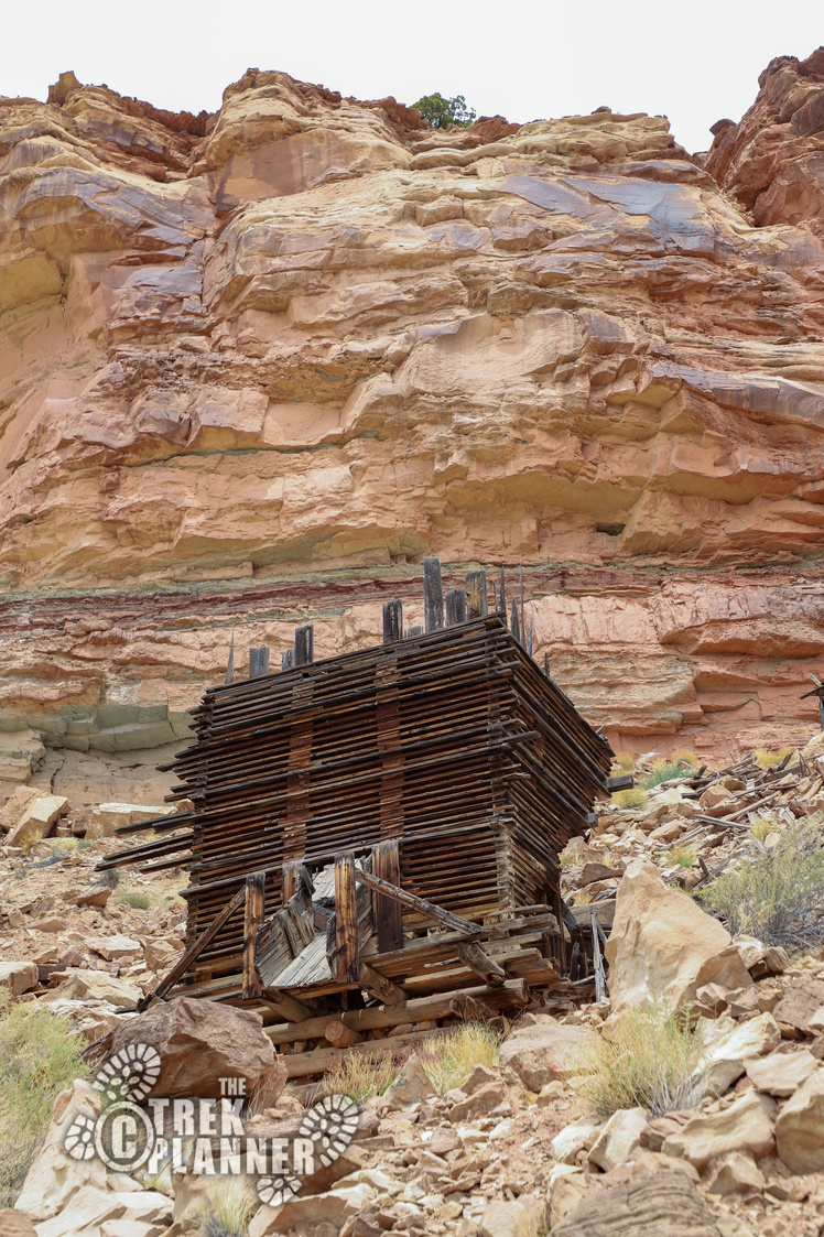
When I got to the mine entrances a huge gale force gust of wind came out of no where and about tipped me over, then it stopped…It was rather strange and it felt like something didn’t want me to be there…so I stayed for another hour exploring lol 😉
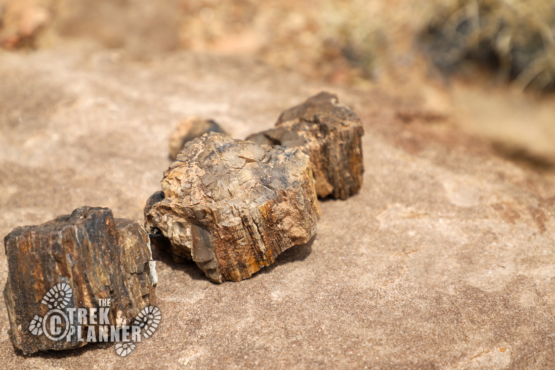
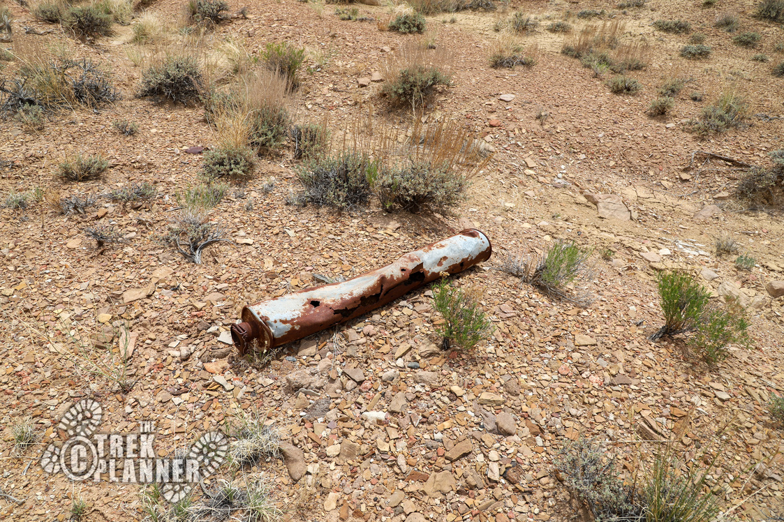
On the way down, I found some more broken pieces of wood and metal and even some metal buckets and wire. And perhaps some more petrified wood? I didn’t really find much in terms of tailings from the mine though.

Personal Thoughts
The Crown Mine was a pretty fun one to explore. Even thought it was closed, the ore bin was really neat to see and it adds to the already incredible human history of the San Rafael Swell area!

What ever you do do not say you found what looks like a grave and say the name Ted Bundy in utah.
haha seriously though
Hi Jeff, I believe I located the name of this mine. It looks to be the Dexter 5 mine. It was an old Uranium mine.
Hi Ryan, Thank you for your comment! That’s awesome you found the name! Where did you find it at?
HI I found it at Mindat.com
[…] an Insider Member!Click to See Full Trek (Insiders Only) Central Utah Mines mining mining relics San Rafael Swell the Swell Uranium mines […]