
The Trek Details
The Trek in a snapshot
Denali Area, Alaska
Unknown
Allowed
None
None
Allowed, but not many flat areas for tents
Steep trail for the entire length. Trail disappears in parts, but just follow the spine of the mountains up to the top
Tundra, vast landscapes, wildlife, Sugar Loaf
Bring 2-3 liters of water
Summer
4.2 miles roundtrip
3-5 hours
1957 ft
4674 ft
2717 ft


Trailhead: 63.744183°, -148.887867°
Sugar Loaf Mountain: 63.753442°, -148.832489°

The Trail
Follow along on our adventure then go out on your own!


Sugar Loaf Name Side Note: Since this mountain doesn’t have a name established by the USGS, I will still call it Sugar Loaf to keep with the tradition.
——————————————–
I’ve compiled pictures from several different trips for this updated Trek.
The Sugar Loaf Mountain Trail is one of my favorites in Denali. The reason why I like this hike so much is because of its diversity in scenery. You will be begin hiking in thick brush on steep terrain. Then you will quickly gain even more altitude then enter on treeless tundra and finish your ascent to the top of the mountain. It is very steep, but the whole trek is not more than 4 miles so if you have the strength and stamina you can complete this hike in less than a few hours.
The trailhead for Sugar Loaf Mountain is best accessed by driving up to the Denali Grande Hotel and parking at the northern most part of the parking lot. You will see a large cairn of rocks that someone piled together – this is the start of the trail. This is where the hotel usually puts their dumpster too.

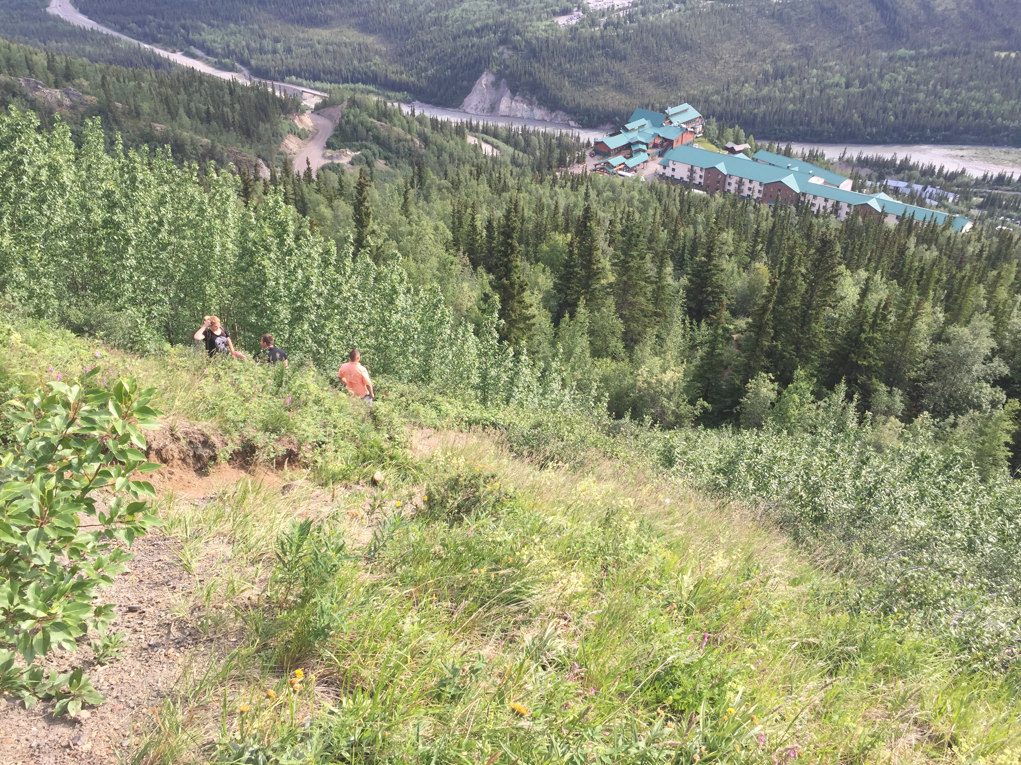
The picture above is the view from the Denali Grande Hotel looking down at Glitter Gulch (the name of all the shops and hotels near the Denali National Park entrance). Sugar Loaf is a popular trail for seasonal employees and the locals in the Healy and Denali areas. This hike is steep and a little rough but the views it offers are incredible!
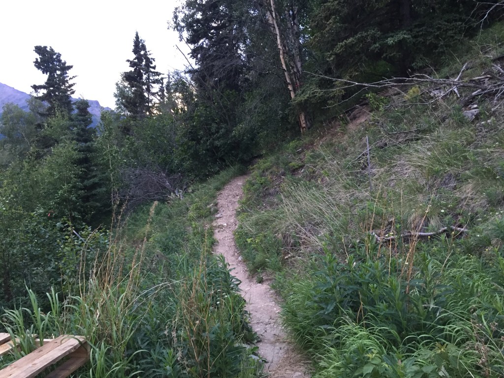
The trail begins in a dense forest on a narrow trail. This is prime moose and bear habitat so please make sure you are aware of your surroundings at all time.
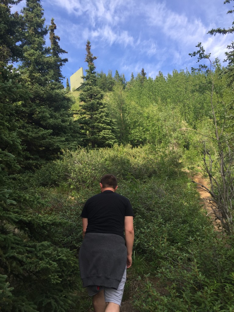

It is good to remember you will be gaining roughly 2600 feet in elevation from the start to finish so you will need to take your time so you don’t wear yourself out during the first 1/2 mile.


There is a good dirt and rocky trail for the entire length of the hike up until the very last climb to the summit. Here you can see one of my friends making her way up. This is where the first clearing of rocks is located. After this location the trees are more sparse.


Once you reach the top of the timberline you will be soon see meadows of flowers and more beautiful tundra terrain.

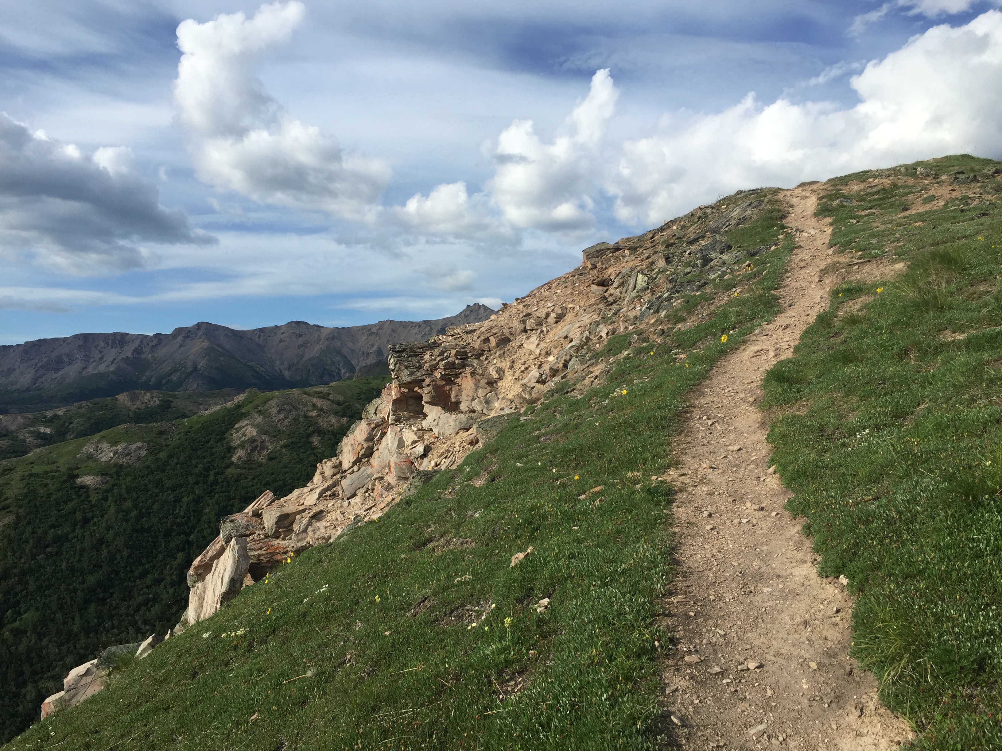

There are tons of wild flowers on this hike!

Here you can see Sugar loaf in the middle center of the picture below. This hike really isn’t that long of a hike. It is just about the same length as the Mt. Healy Overlook Trail on the other side of the canyon.

Looking towards the town of Healy.

The trail follows the spine all the way to the summit.


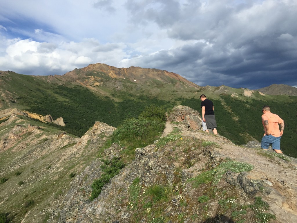
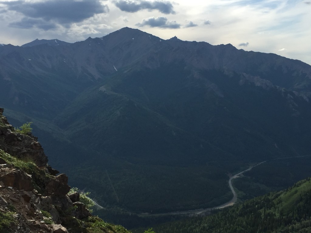
The trail becomes hard to see in some spots but you can still see a trodden path where previous hikers came by.
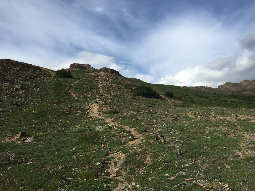

Even though it looks like the summit is still miles away, it really isn’t that much farther.

Meadows of yellow flowers.


More purple flowers.

The picture below is looking towards Mt. Healy. Mt. Healy is an equally amazing hike and one I would recommend doing if you have the time.

Looking back down the trail that we just came up.


It is about in this area where the trail disappeared for about 50 yards. But as long as you continue to follow the spine of the mountains you will get to the summit. If you are hiking in the valleys then you got off the trail somehow.


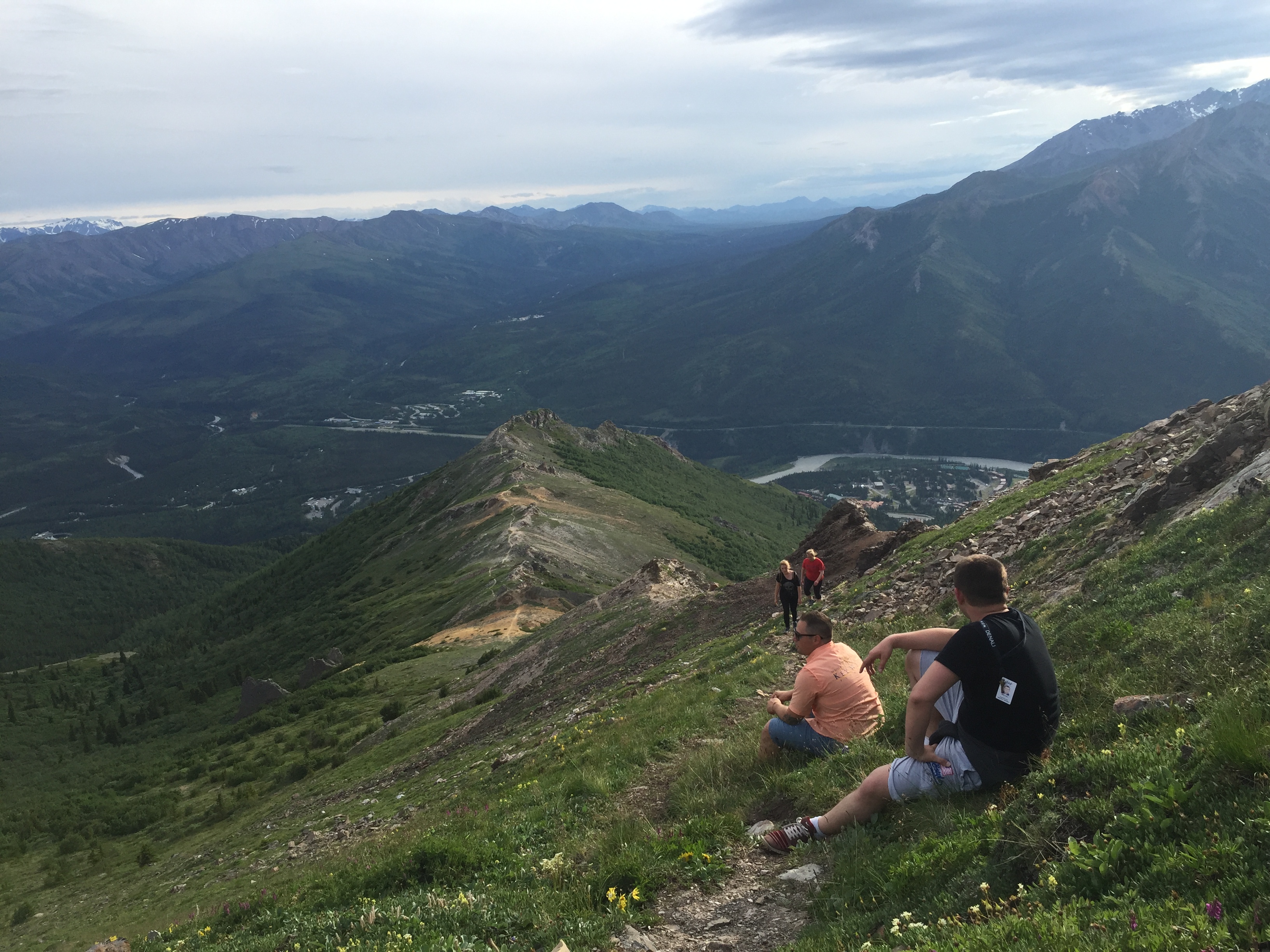
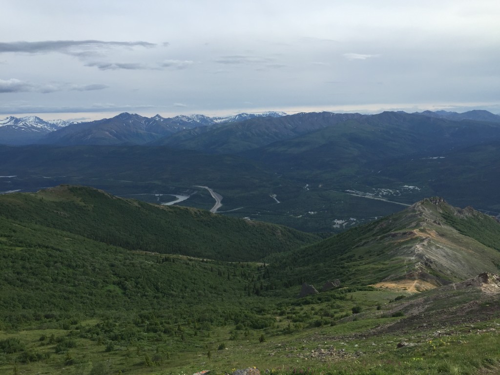


Once we got up passed the tundra we were hiking on gravel and large rocks. This was a very steep area and we made sure to go even slower to be safe.
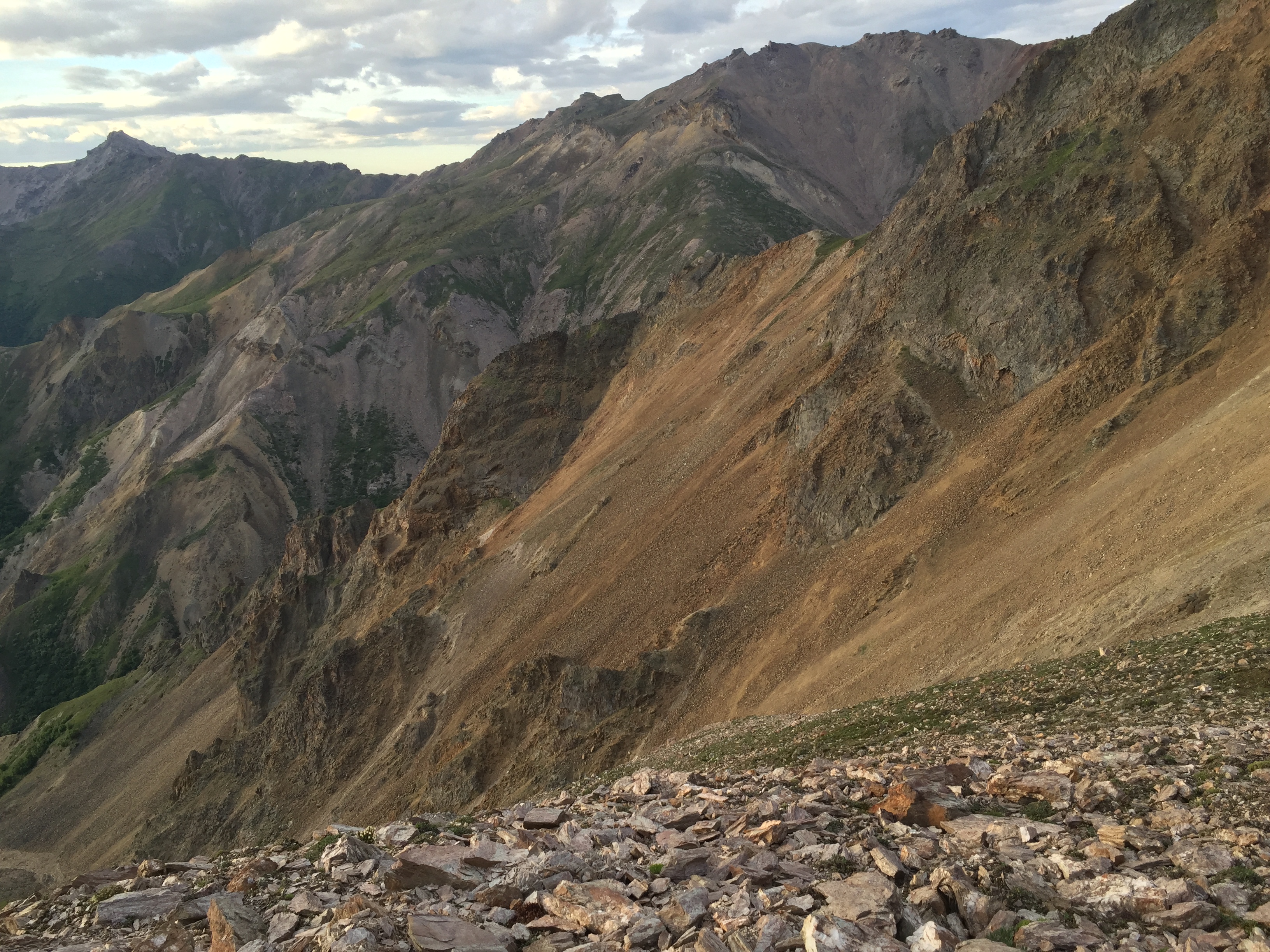
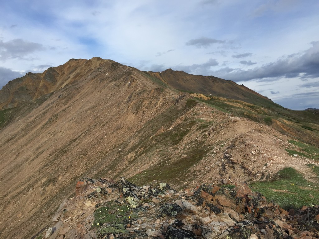


Almost to the top…
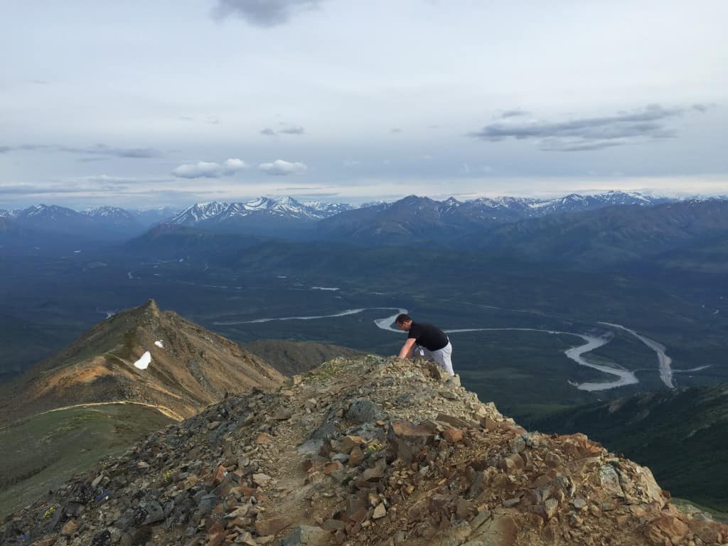

Finally at the top! There were yellow and white flowers waiting for us as we arrived at the summit. You could easily continue hiking along the mountain ridge leading you to another adventure. I was very surprised because the top of Sugar Loaf was fairly flat and was unassuming – but still we got an incredible view!
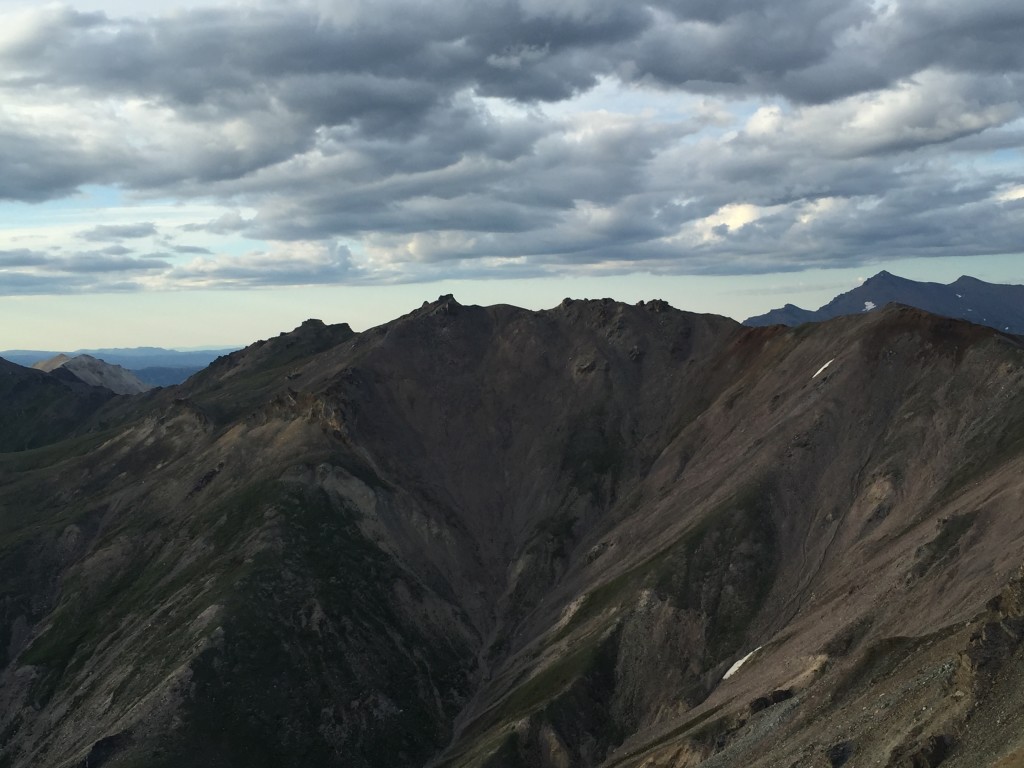

At the summit there was a very tame ground squirrel that was waiting for us to drop some chips or jollyranchers, but we knew better!


Looking back down to the seasonal town of Denali. You can see in the picture below the spine of the mountains that we climbed to get to the top. It was amazing how much we could see. If it was a clear day we could certainly see Denali to the west and all the Alaska Range to the east.
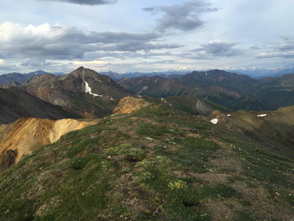

Looking down where Kingfisher Creek begins.

On the way back down we found a few hoary marmots hanging out on some rock. We tried to get them on camera but they were a little shy it seemed..

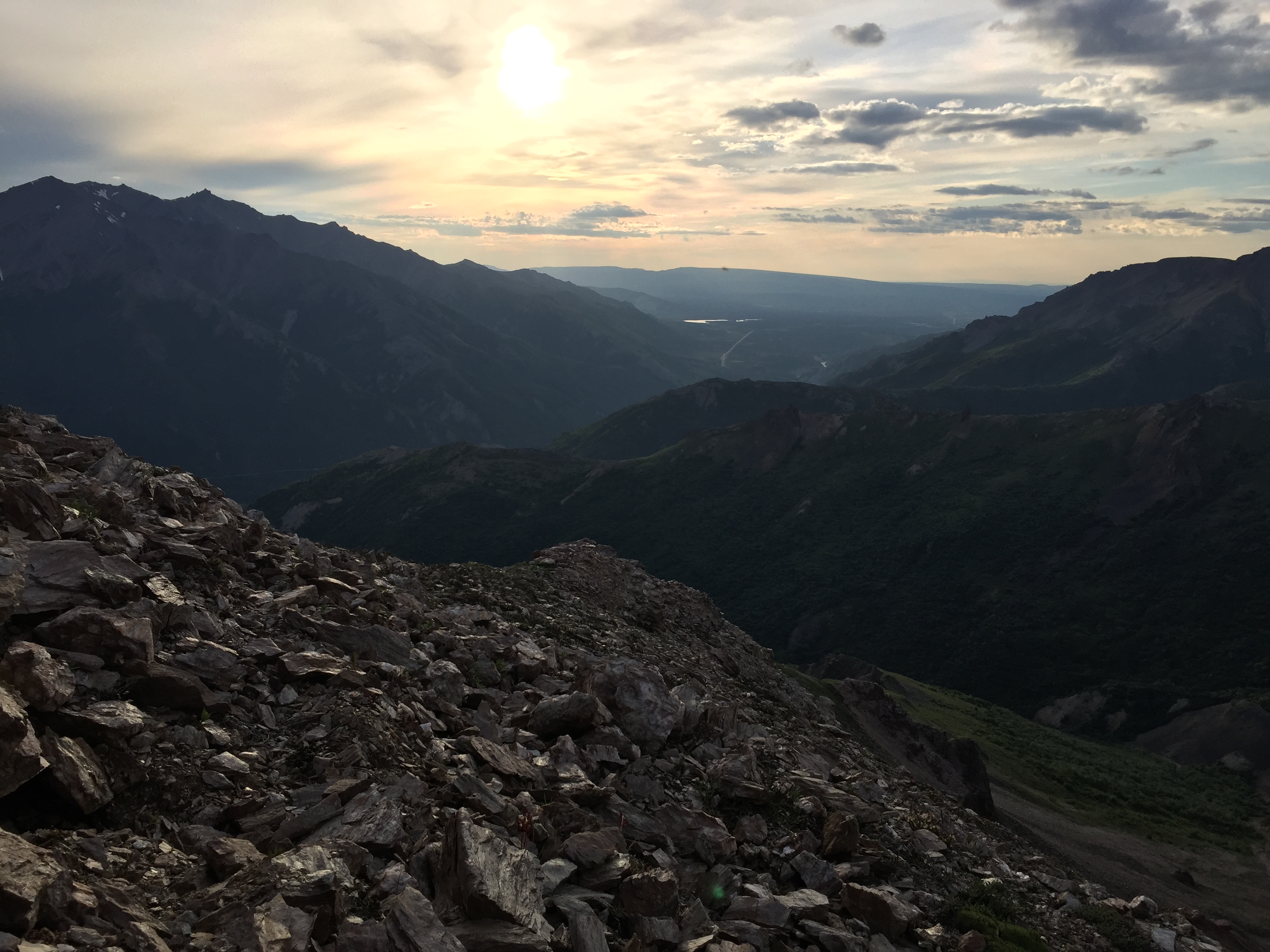
You can see several hotels in the pictures below including all of the shops and touristy stuff. You can also see the Alaska Railroad tracks cutting a giant line in the scenery.

Personal Thoughts
Sugar Loaf, even though it is still pretty close to all the shops and hotels of Denali, offers you an amazing hike to one of the tall secluded peaks in the area. It is a popular trail but you could hike all day on it and probably not see another person traversing to the top. It would be really fun to hike to the top of Sugar Loaf and continue hiking for days and days following the mountain spine!



I feel the rating is a bit hard. It is rated higher than that of Mt. Healy which is much harder and more technical. Take the rating with a grain of salt. This is a moderate difficulty climb at most.
Do you remember when you were there when those yellow flowers were blooming? Thanks!
Hey Sam! I just checked the time stamp on those photos with the yellow flowers. I took it on June 23 🙂