The Trek Details
The Trek in a snapshot

Trailhead: 40° 58.443’N, 111° 52.345’W
Steed/Hornet Canyon Fork: 40° 58.485’N, 111° 52.074’W
Steed Canyon Waterslide: 40° 58.479’N, 111° 51.742’W
Steed Canyon Waterfall: 40° 58.483’N, 111° 51.669’W

The Trail
Follow along on our adventure then go out on your own!


The first half of the hike will be on a clear trail but at some point you will need to bushwhack and go through rough terrain.
This canyon and creek were named after one of the earliest settlers in Farmington named Thomas Steed.
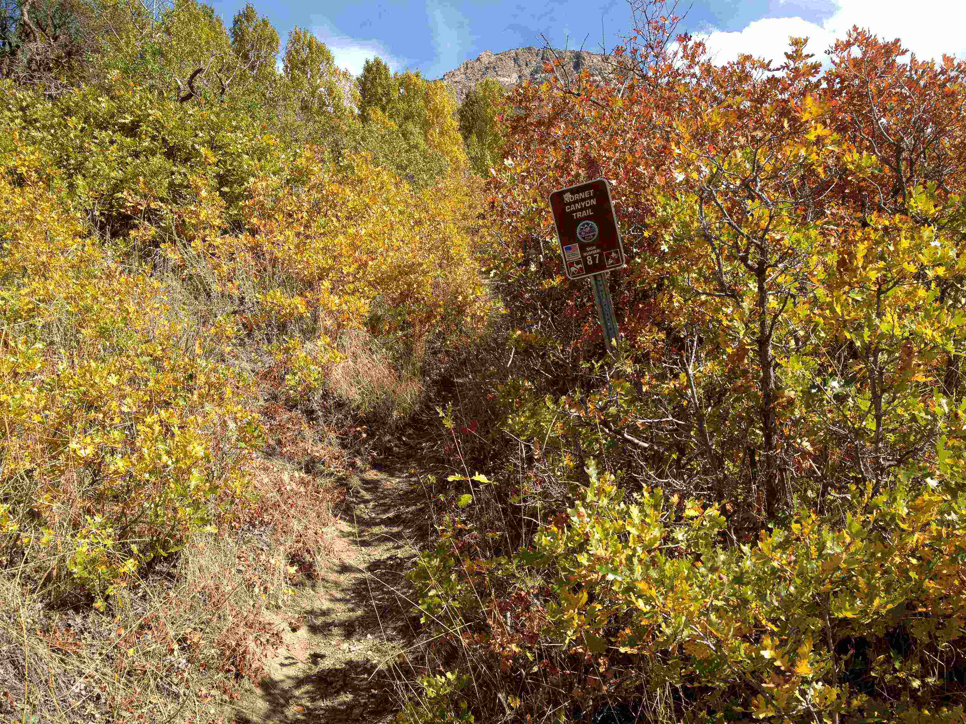
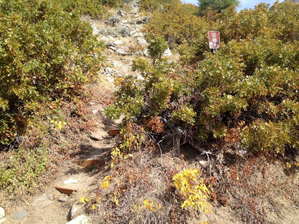
At the base of Steed Creek and Steed Canyon you will see a sign that says “Steed Creek Trail” this is the same trail that splits off up to Hornet Canyon and Hornet Mine.
Follow this trail up a few hundred yards until you come to a sign that says “Hornet Canyon Trail” – this is where you want to stay RIGHT.
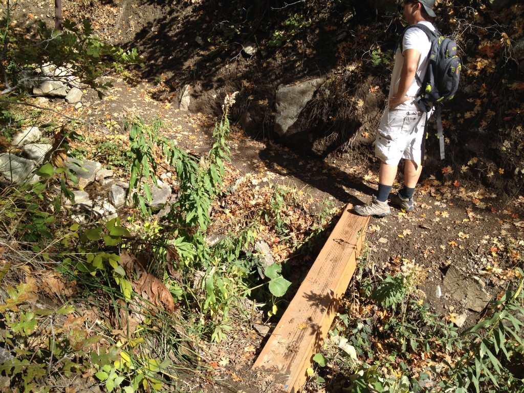
Keep hiking on the right trail until you come to a small stream and a wooden plank that crosses the stream.
Here you have two choices. You can either stay right and you will stay within sight of the canyon for the remainder of your hike. Or you can go left (you will see a sign that says “Cliffs”. The Cliffs trail leads you around some behind the canyon and then directly on the ridge that overlooks Steed Canyon.
Both trails are fine but if you want a simpler hike then I would choose the left trail. This trail seems to be renovated because of the fires a few months ago in the area so it is a rather easier trail…until you need to bushwhack towards the top of the ridge.
Keep hiking up and you will see orange and blue plastic streamer placed on the trees. My bro and I suspect that these were put in by the firefighters coming through the area a few months back.
You will also see parts of pop cans nailed to trees so you can follow the trail. These are not necessary as the trail is very visible.
Once you hit the top of the ridge and after all the switchbacks, keep hiking for about another two hundred yards on the trail. Now you must make the hike to the south – bushwhacking time!
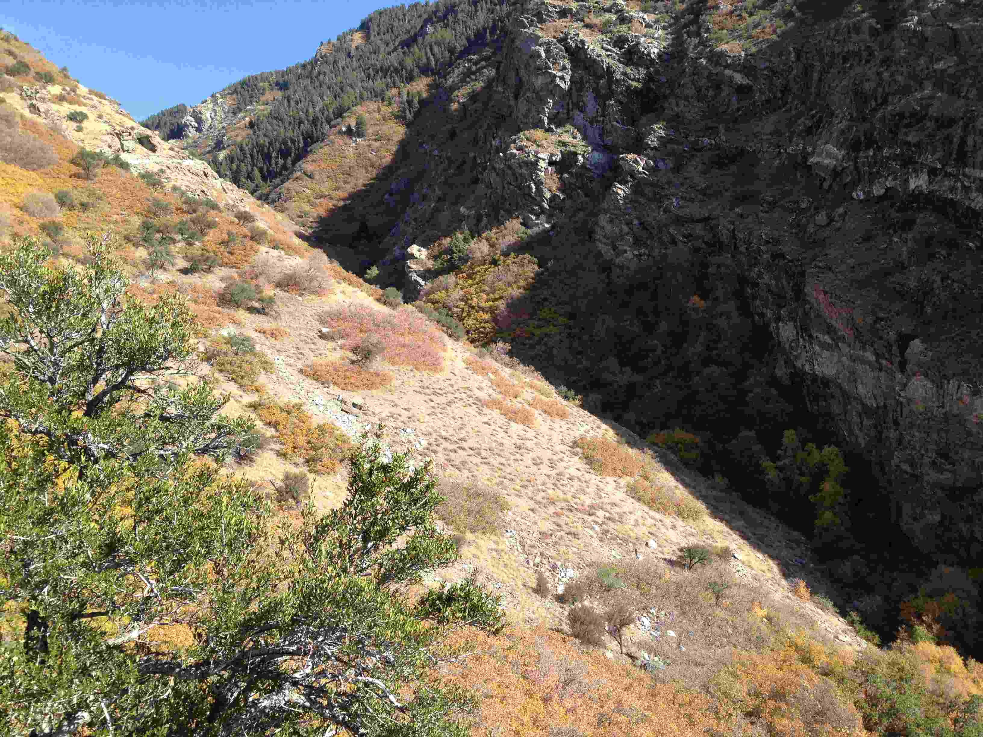
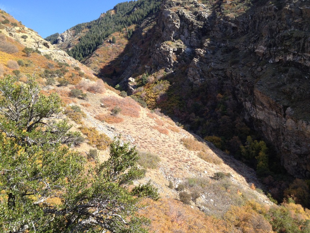
Look south and you will see a large clearing on a very slanted slope with little shrubbery and trees (see picture) this is where you need to go. Basically you need to hike to the creek.
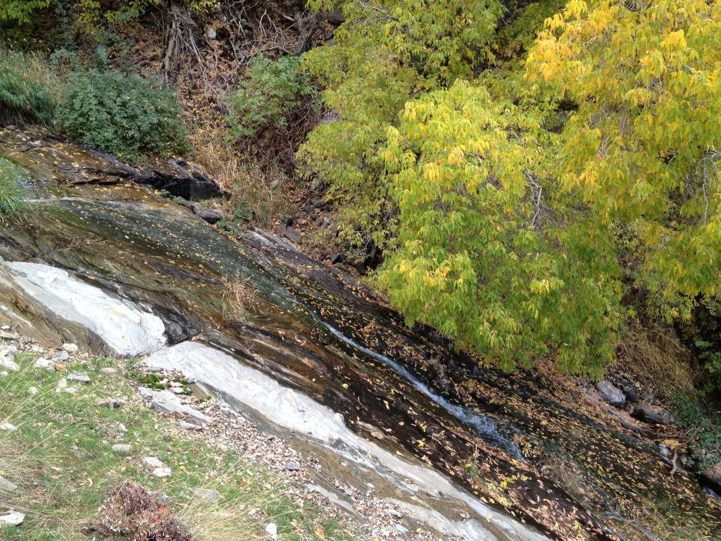
Once you get to this point you will see the waterslide. This waterslide probably extends for a hundred feet or so and I do not recommend you slide down it.
Spring time brings an immense amount of water down these parts so I suggest you keep your distance and stay away from the slippery rocks.
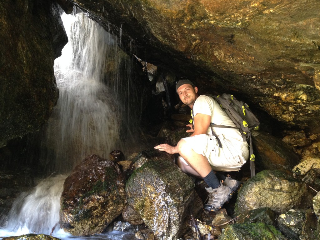
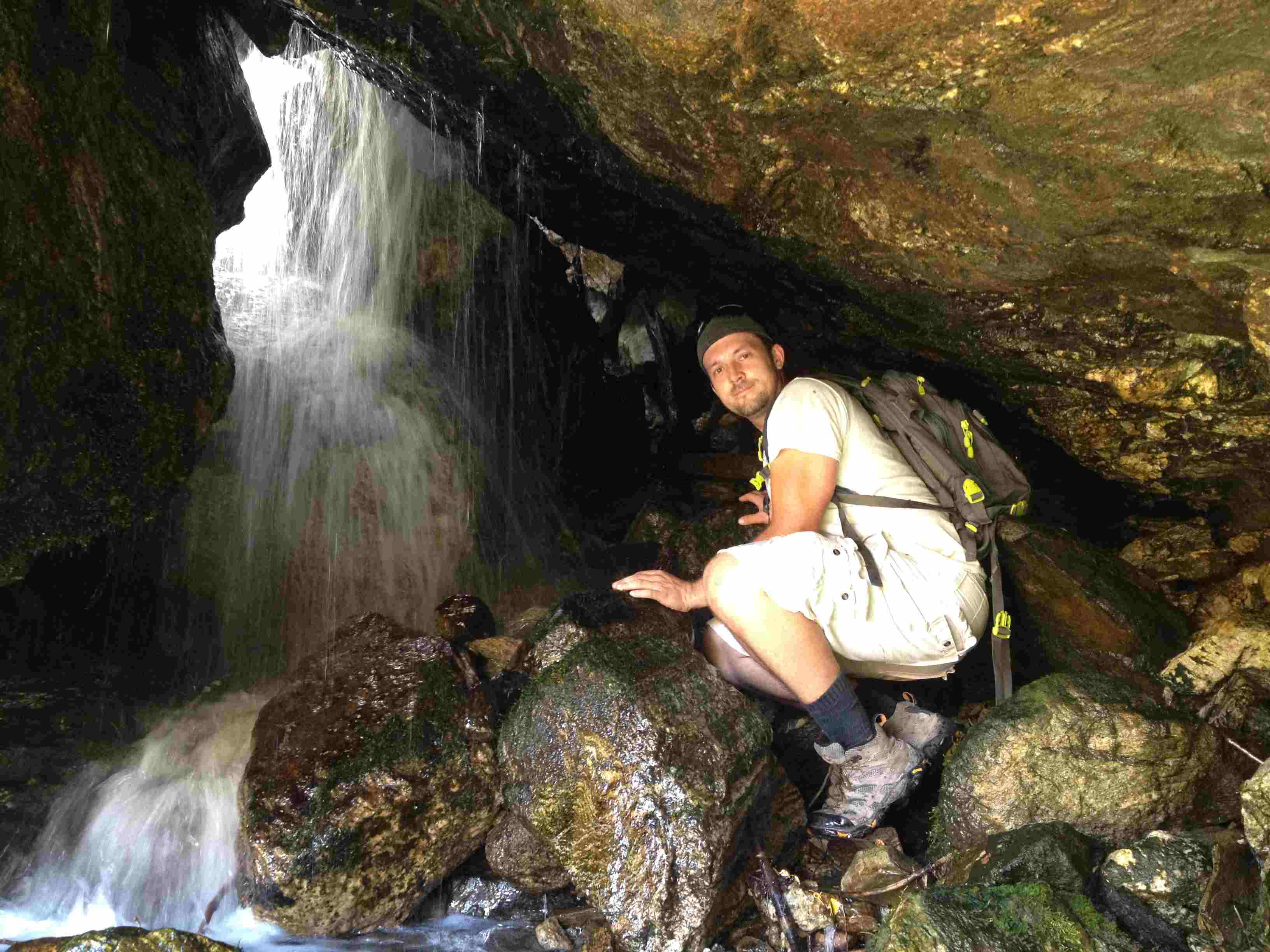
Keep following the creek up (still bushwhacking) and you will come to “Waterfall Cave”. This is not so much a cave, it is just a nice view of the water cascading through the large boulders.
Bushwack your way back to the trail and head back down towards the mouth of the canyon. If you get lost you can always hike close to the creek and you will end up at the bottom. Or you can hike to the ridge and eventually meet up with the trail again
Steed Canyon Waterfall

Personal Thoughts
The Steed Canyon Waterfalls are a fun hike for people who love a little risk and adventure and are not afraid to go off the trail to find hidden treasures.
