The Trek in a snapshot

Trek Planner Maps
Visitor Center: 37.38571, -109.07537
Stronghold House: 37.38333, -109.07573
Twin Towers: 37.38318, -109.077
Eroded Boulder House: 37.38337, -109.07715
Rim Rock House: 37.3833, -109.07749
Hovenweep House: 37.38588, -109.08135
Checkdam: 37.38636, -109.08123
Square Tower: 37.38585, -109.08102
Hovenweep Castle: 37.38592, -109.08055
Tower Point: 37.3841, -109.078
Unit Type House: 37.38408, -109.07693

Experience. Discover. Explore.
Follow along on our adventure then go out on your own!


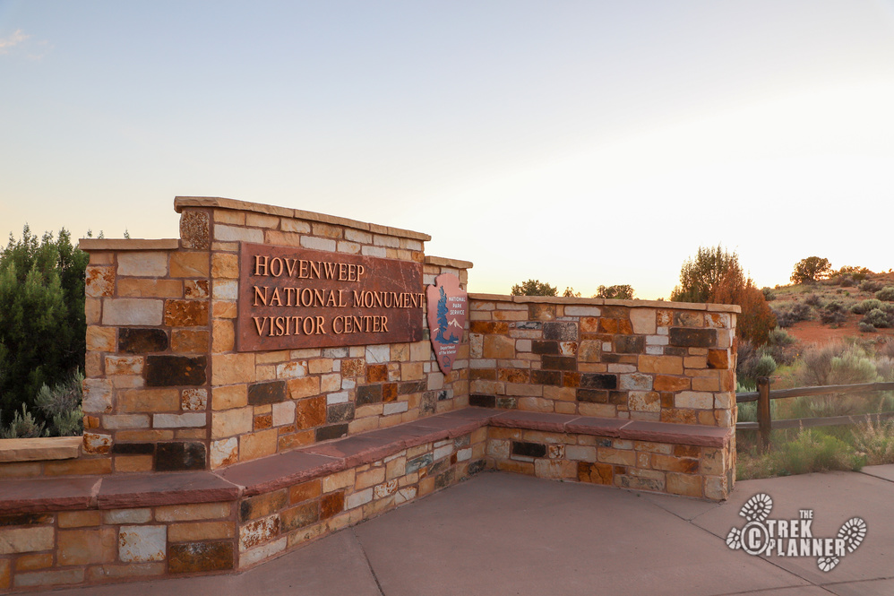
Photography note: As a photographer, I was really hoping to take some night photos of all the ruins during my visit. This is apparently not allowed unless you have a special permit which I didn’t know I needed until I got there. Permits cost $100 and may take up to 15 business days to process! You must fill out Form 10-930 (see link for form), send payment, and send your form to the Filming Permits Coordinator in Moab Utah. For more information about this please visit: https://www.nps.gov/hove/planyourvisit/night-photography.htm
Hovenweep National Monument is a place I have been trying to go to for years and finally just decided to drive down there one week to explore it all! I wasn’t sure what to expect besides some amazing ruins and I wasn’t disappointed at what I discovered!
Hovenweep is a Ute and Piute mix word meaning “deserted valley.” These structures appear to have been created around the years 1230 to 1275 by a people called the Ancestral Pueblo.
For more detailed information about the history of the Square Tower Group please take a look at the National Park Square Tower page: https://www.nps.gov/hove/planyourvisit/squaretower.htm
Most of Hovenweep is located in a seldom visited part of southeast Utah. Part of this monument is located in Colorado but most of the sites are in Utah including the Visitor Center and campground. Hovenweep was designated as a national monument in 1923.
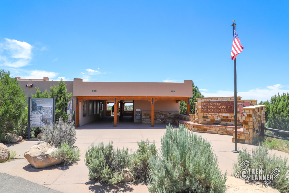
I arrived in Hovenweep at about noon time and walked right in to the Visitor Center to look at a map. A helpful ranger greeted me and answered all my questions and provided me with some great ideas for hikes. The ranger told me that I could technically see all the sites in Hovenweep in a day but for right now I should hike around the Square Tower group of ruins and sites. I took her advice and set out on the trailhead for the Square Tower Group whose trailhead is right behind the Visitor Center.
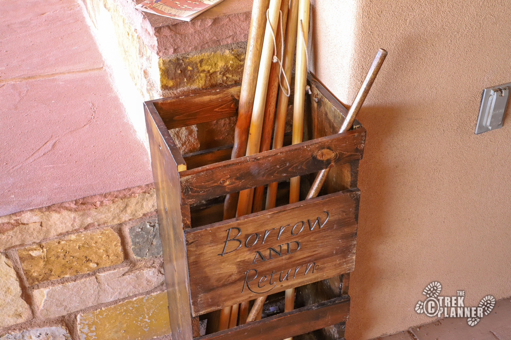
Grab a walking stick if you want and fill up on water.
From the Visitor Center you will walk about 900 feet until the first ruins but you will pass by many plants and trees that are marked with information. I learned about a few bushes that I never knew the name to! This first portion of the trail is on a paved path so if you are using a wheelchair or have mobility issues you will have no problem accessing and seeing most of these incredible ruins!
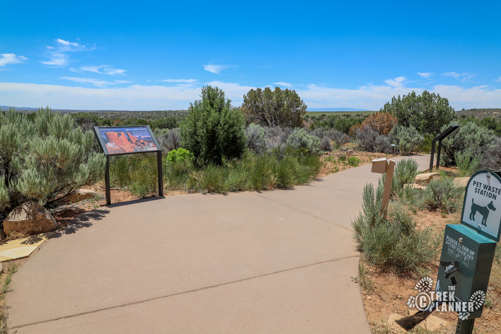
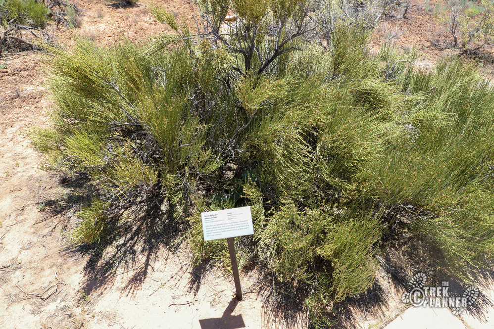
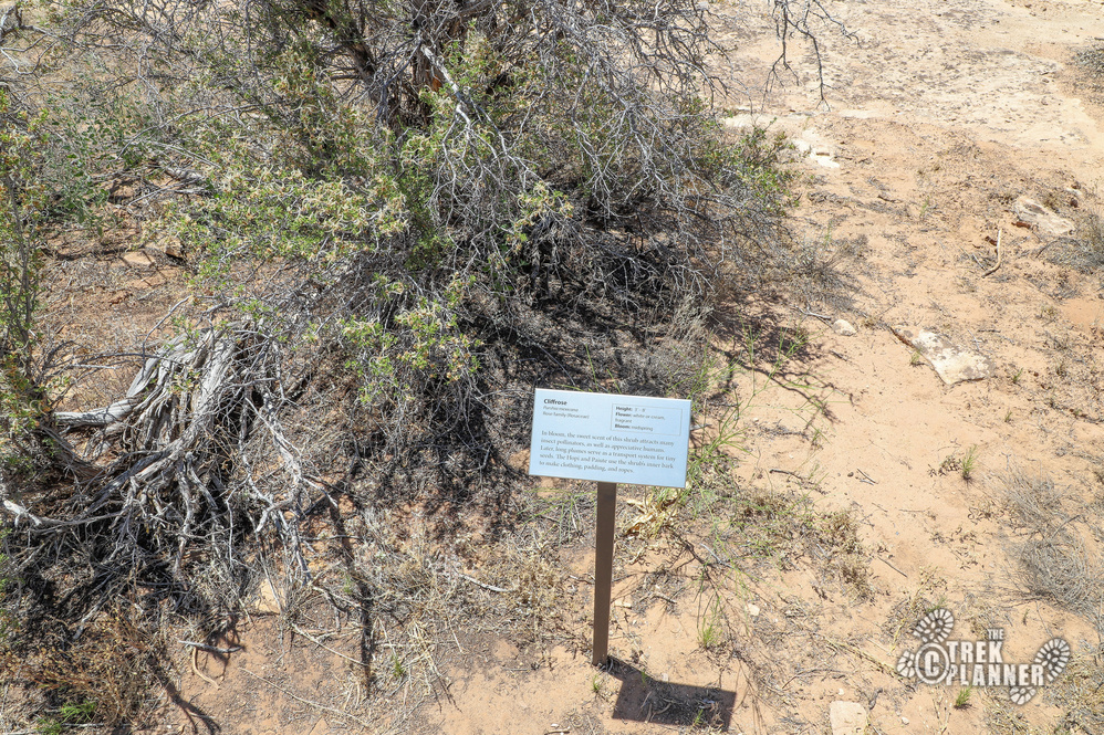
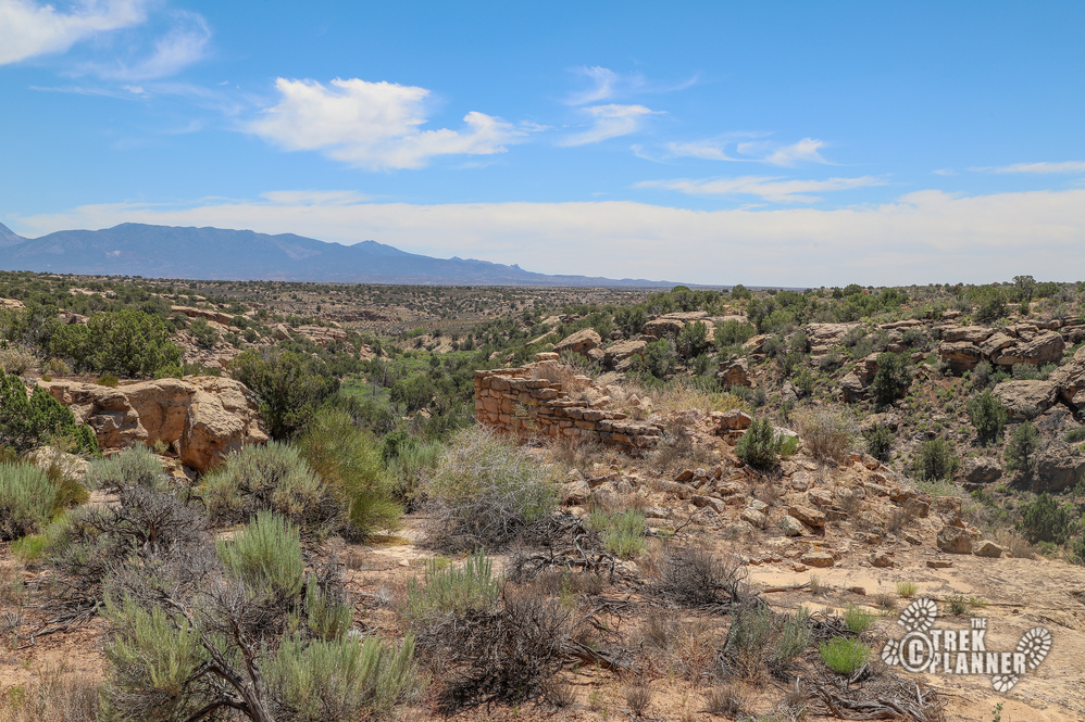
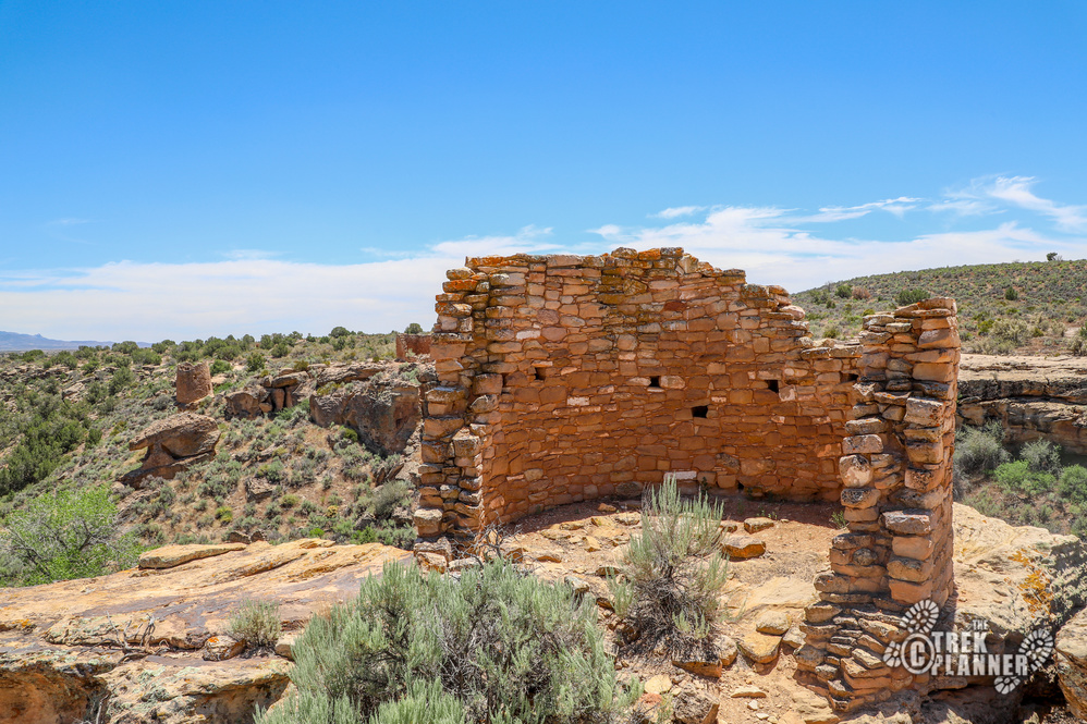
The first ruins you come to will be the Stronghold House. It’s named due to the house being built like a fortress on a boulder that is away from the cliff edge. It would take some effort to get to it. You can see most of the ruins from up above but I highly encourage you to do the Rim Trail Loop Trail. If you do the Rim Trail you will get to see all of the ruins from different angles. Many of the ruins are better seen from across the little valley. First, look across the valley at Twin Towers. Look below the towers to see a granary! Also, look at Eroded Boulder house and see how there is a house inside of the boulder!
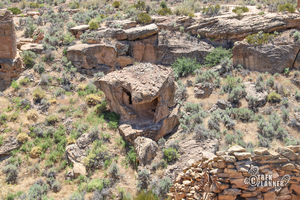
After you see the Stronghold House, you can either take a left or right and end up at the same place. I took a left to begin this hike. This is where the paved portion ends.
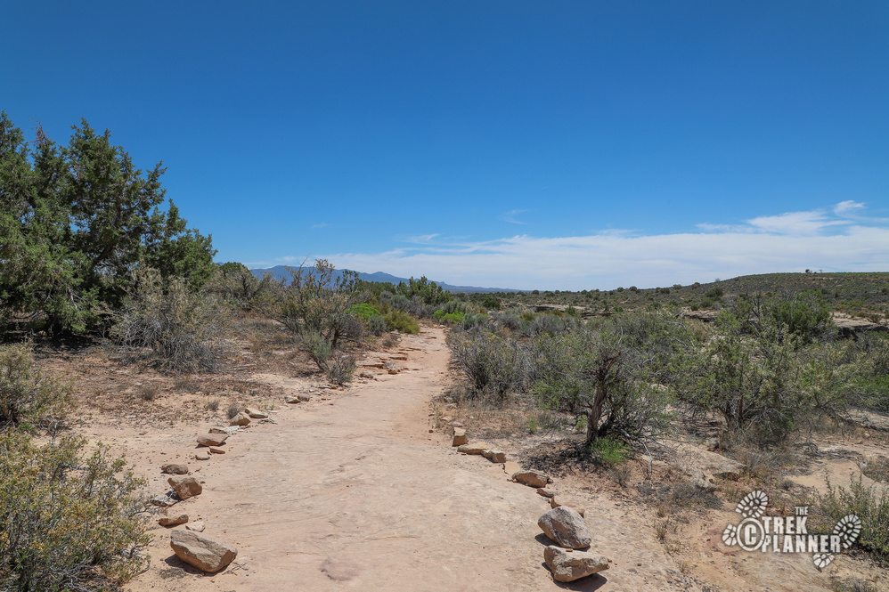
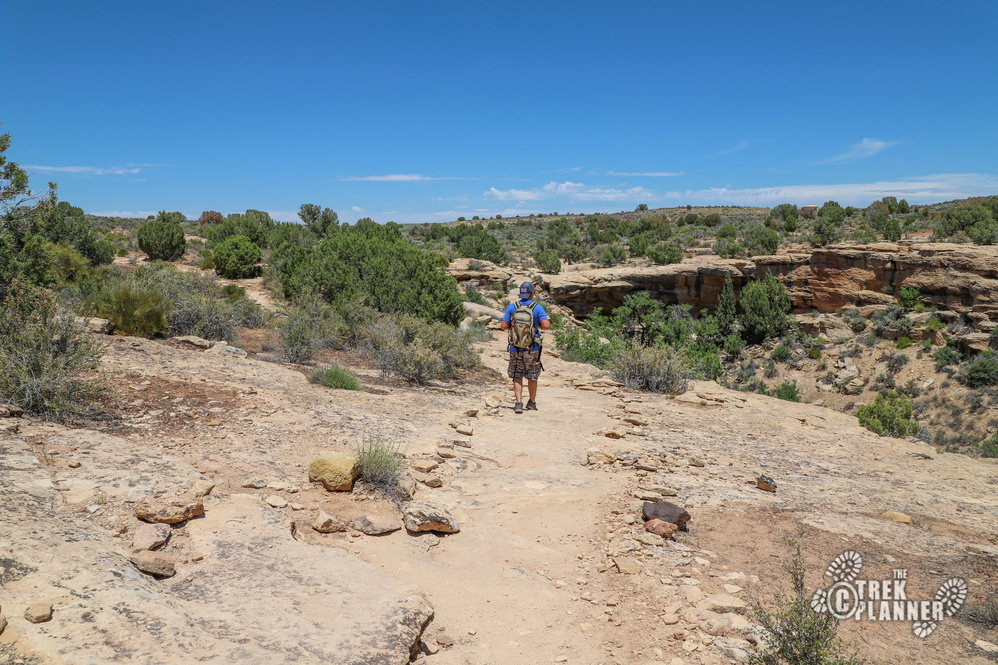
The trail winds down below in the valley and then pops back up on the other side. It really isn’t a difficult trail and I found I was sweating not so much from the physical exertion, but from the heat of the sun. So, even though it’s about a 1.8 mile hike roundtrip from the Visitor Center, it is fairly easy to do!
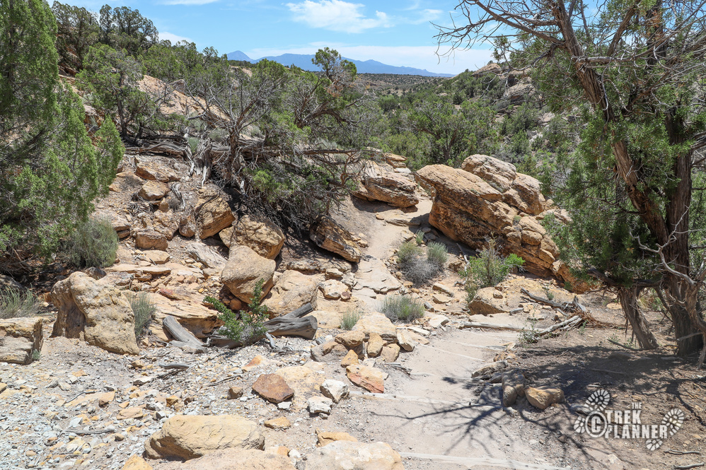
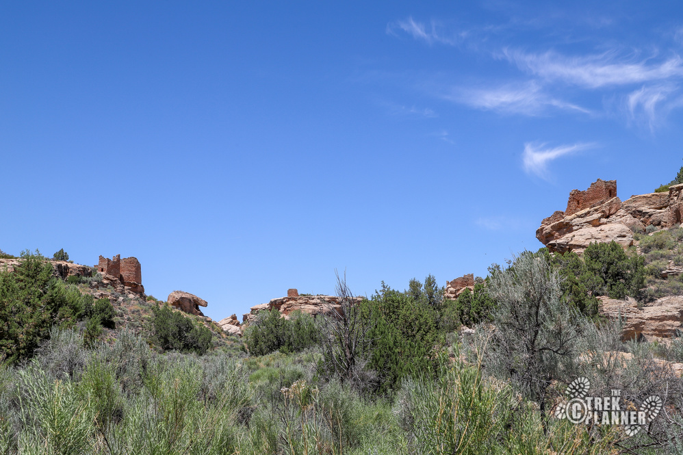
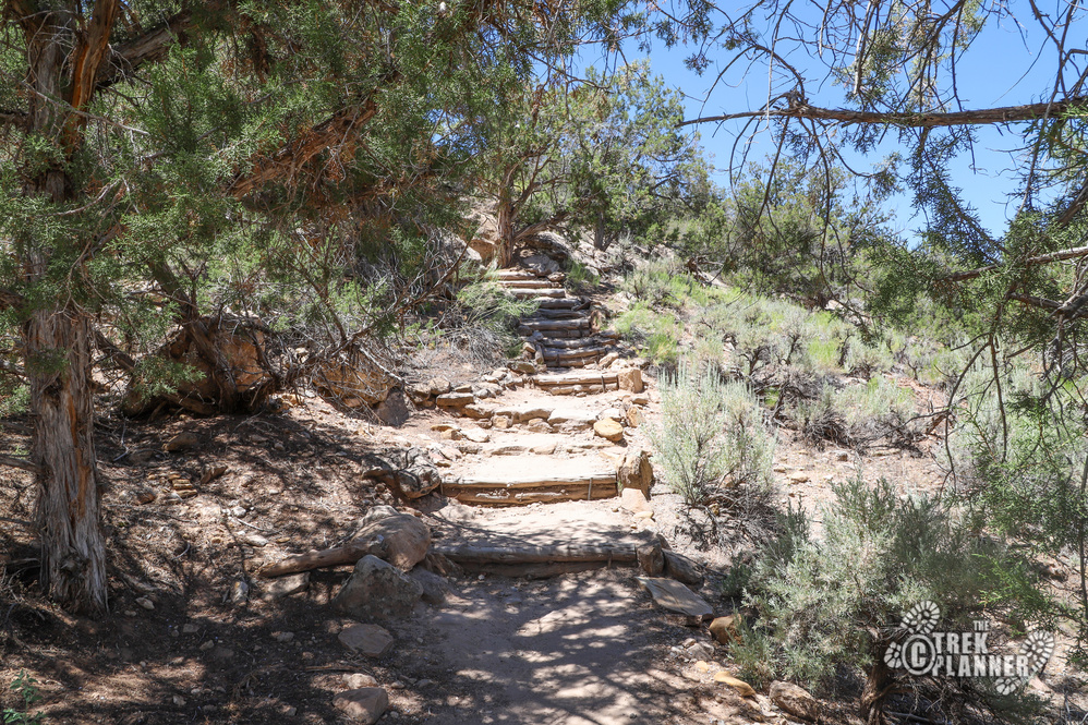
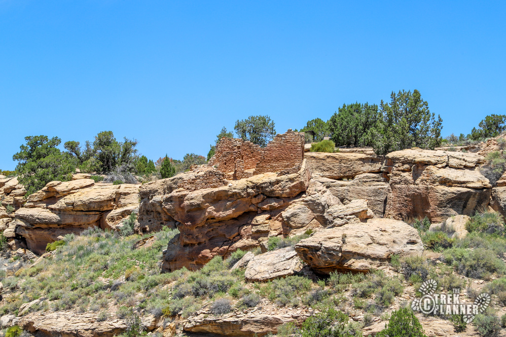
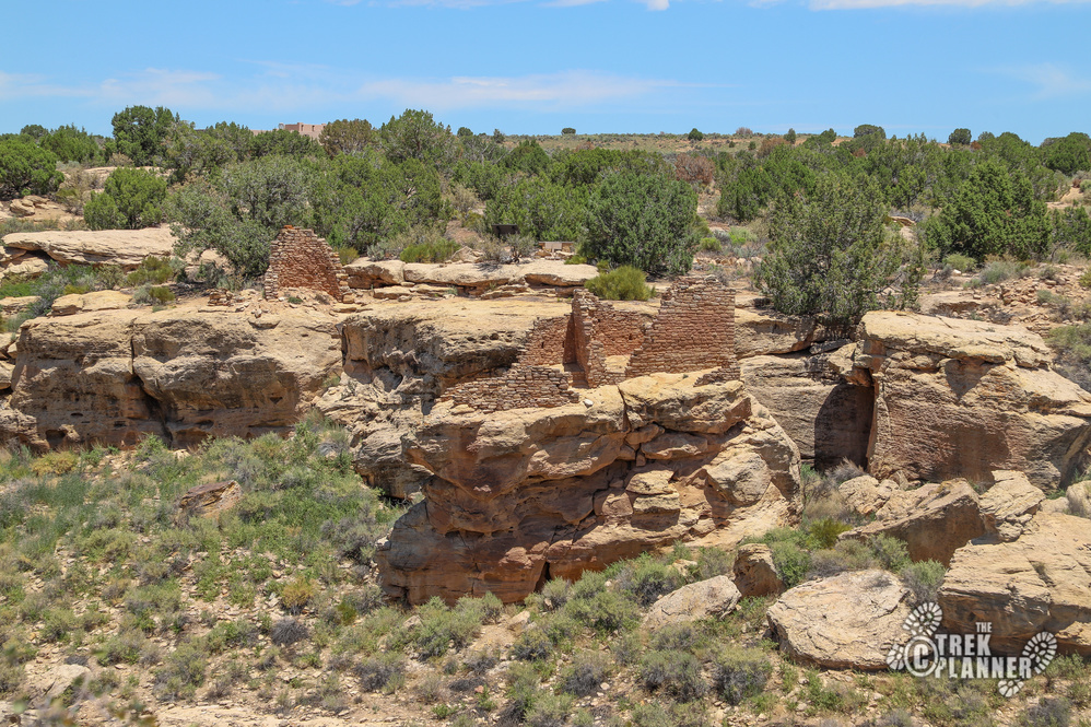
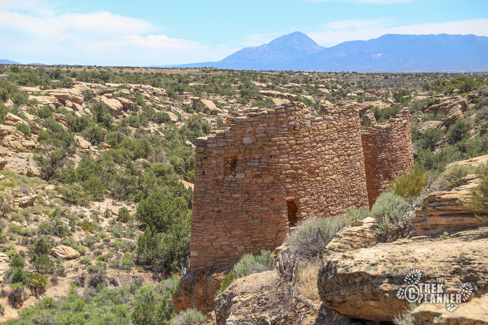
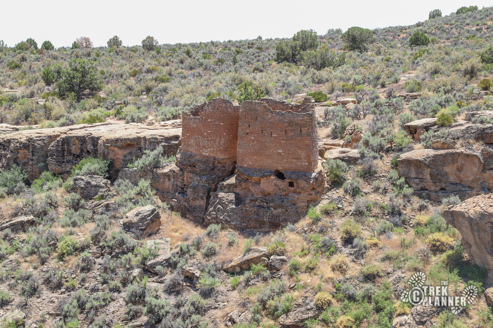
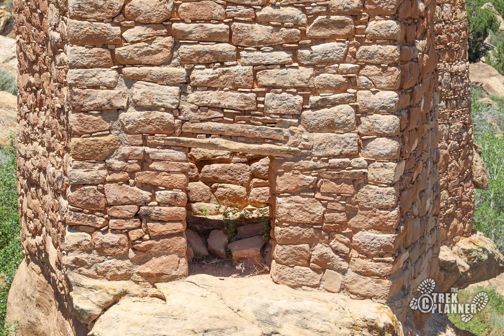
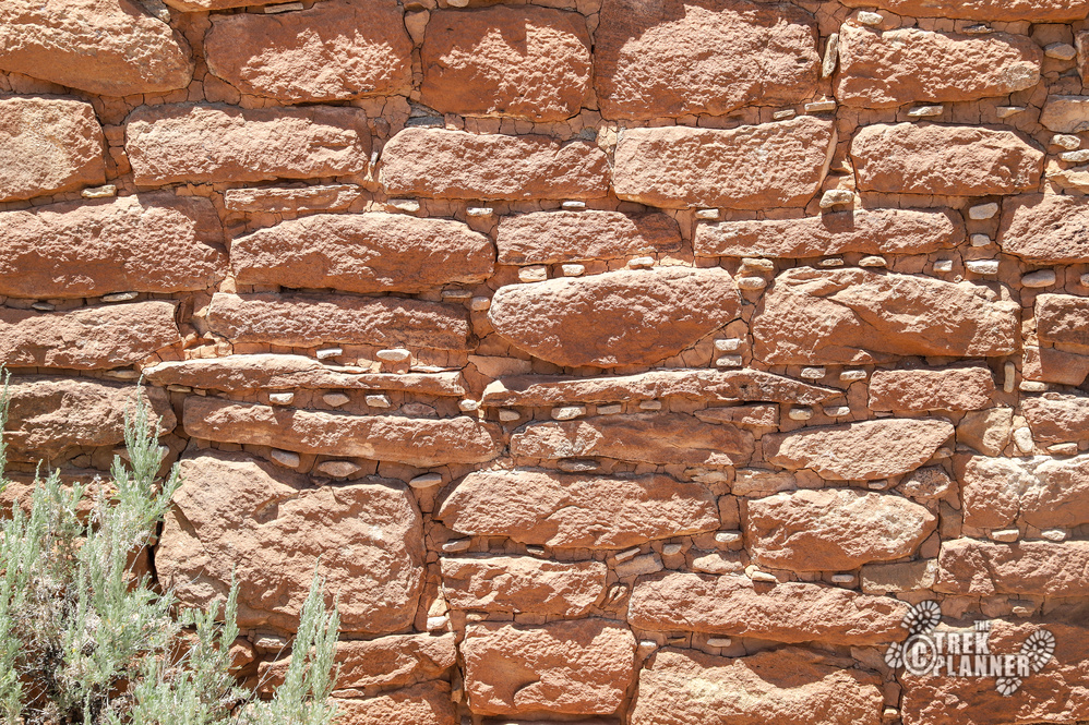
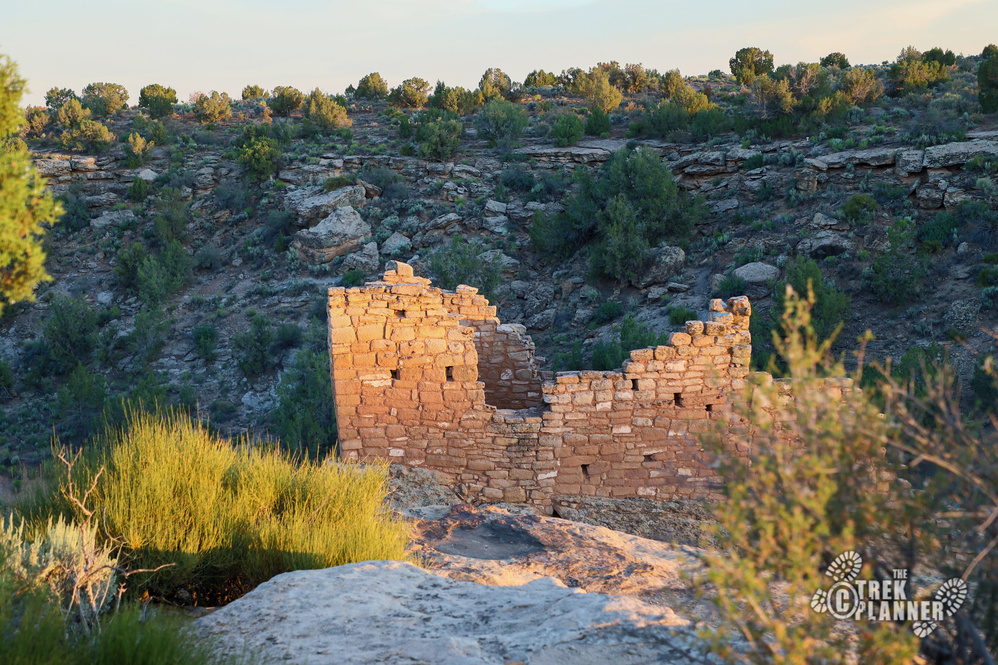
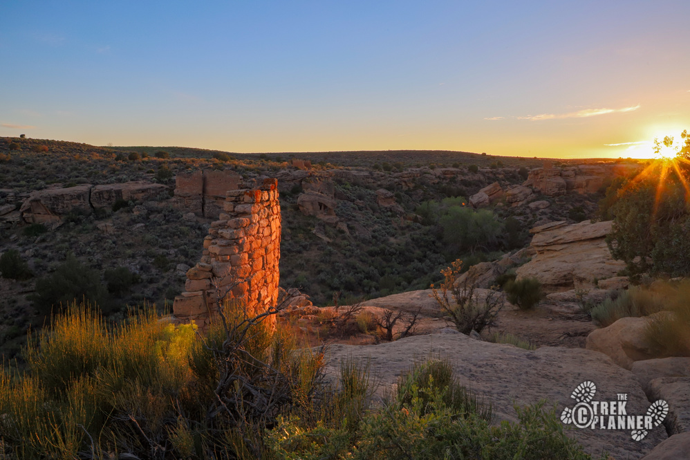
Once you get up on the other side you will come to the Twin Towers. These towers are literally built right at the edge. Look closely at all the detail and the amount of work it took to put these structures together. Each stone was meticulously and deliberately placed to make these towers. There are small doors to go inside but the Park Service doesn’t allow people to go inside. In fact, the Park Service keeps you a nice distance away from the structures because they really are unstable and they don’t want people messing with them of course.
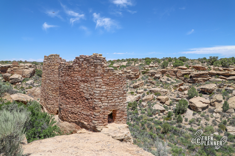
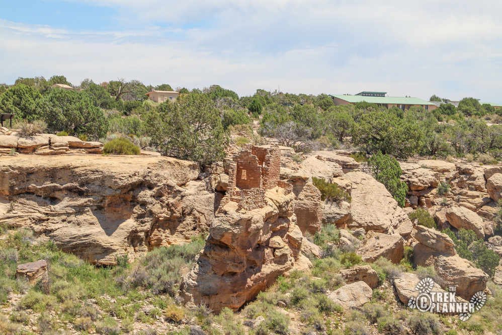
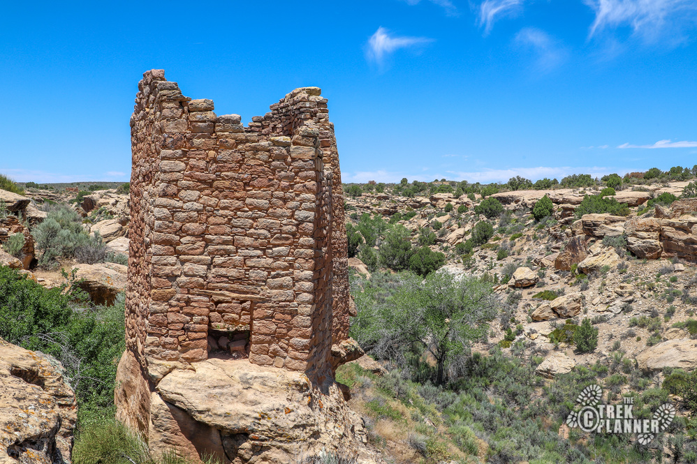
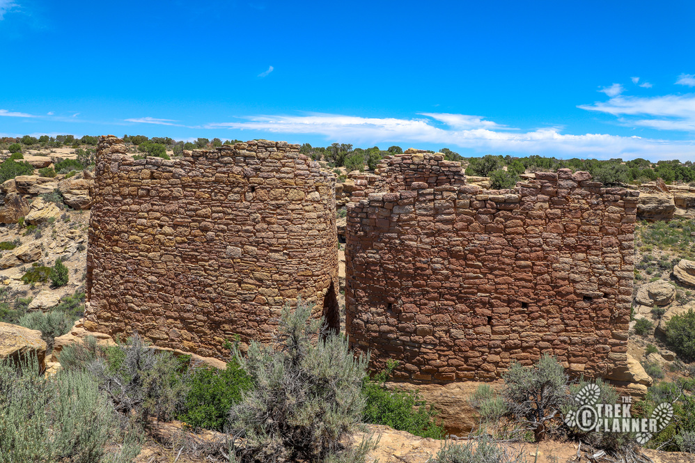
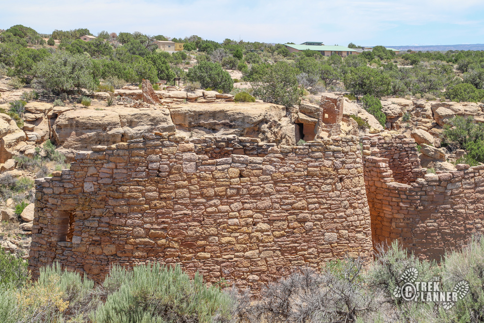

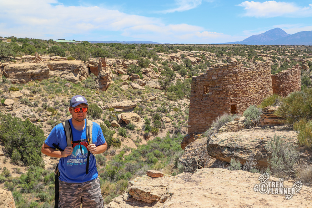
The next structure is Eroded Boulder House below Twin Towers. You can’t really see the Eroded Boulder House from here but you can kind of see the sides of it.
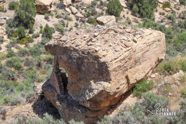
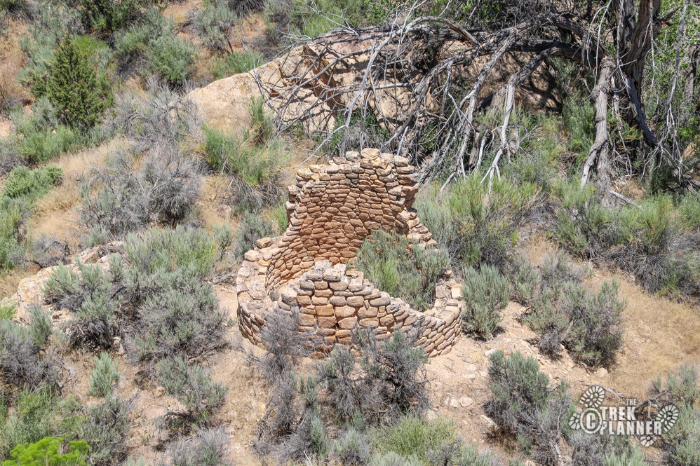
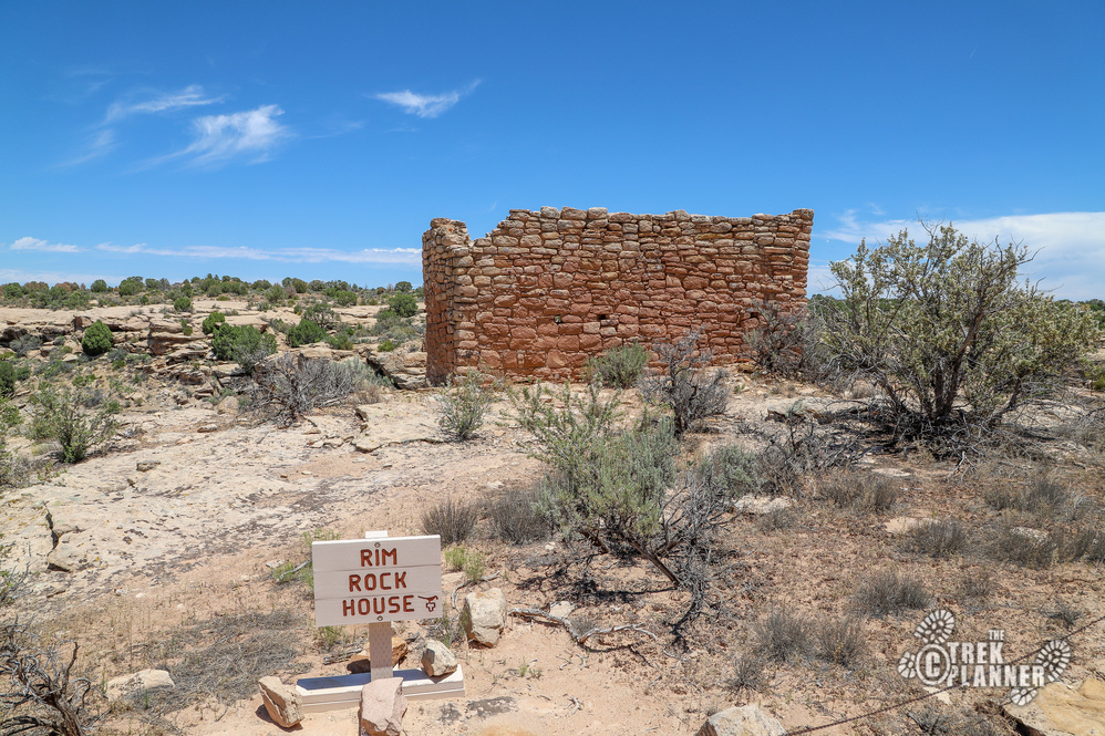
If you keep hiking on the trail you will come to Rim Rock House. This one may not have been used as a residence. There are many holes around the building and their purpose is unknown. Look below Rim Rock and you will see Round Tower.
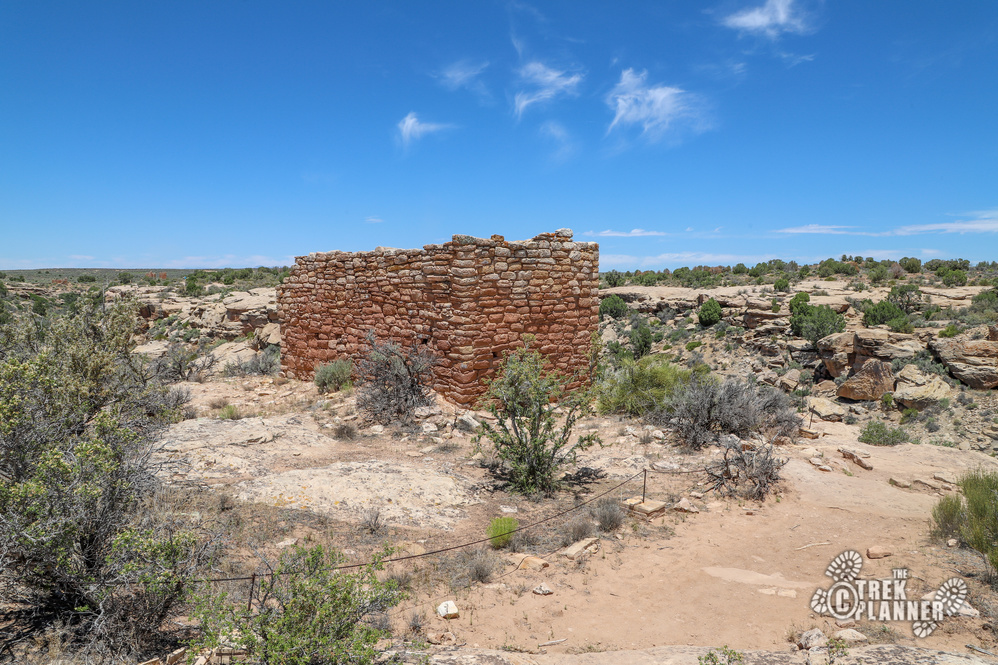
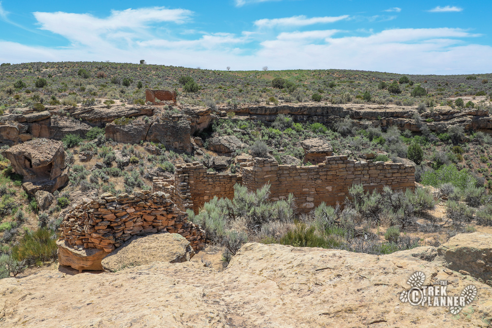
At the end of the canyon before the trail comes back, is the Hovenweep House. You can also get some great views of Hovenweep Castle across the valley.
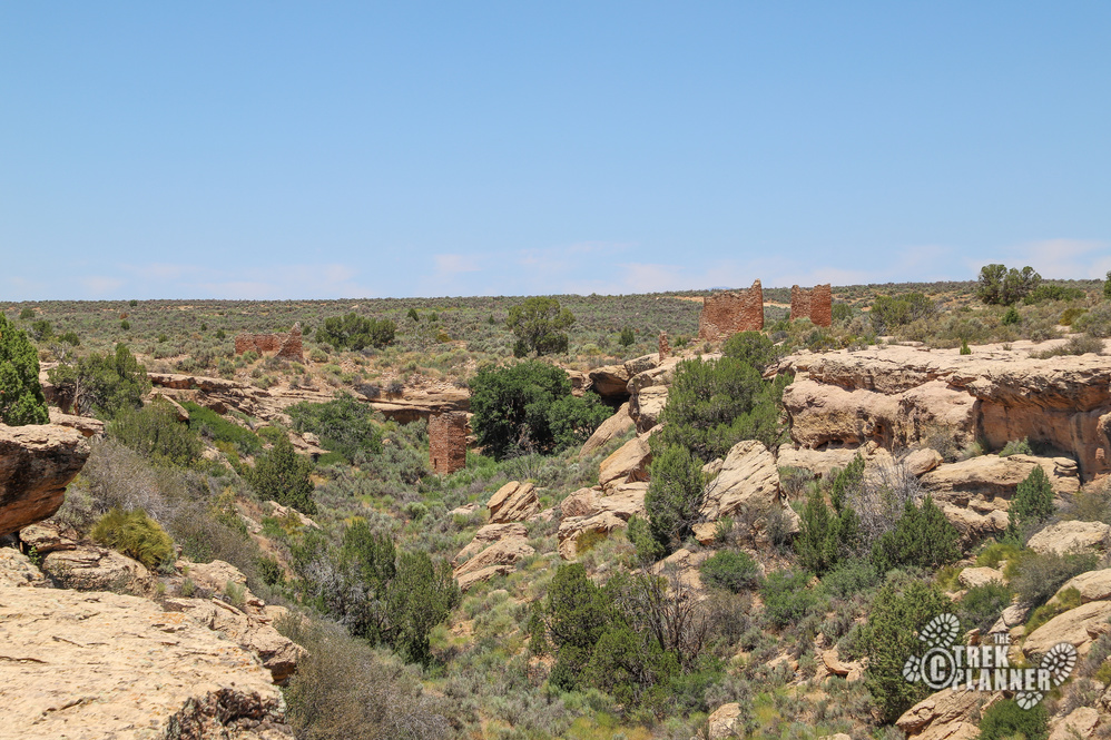
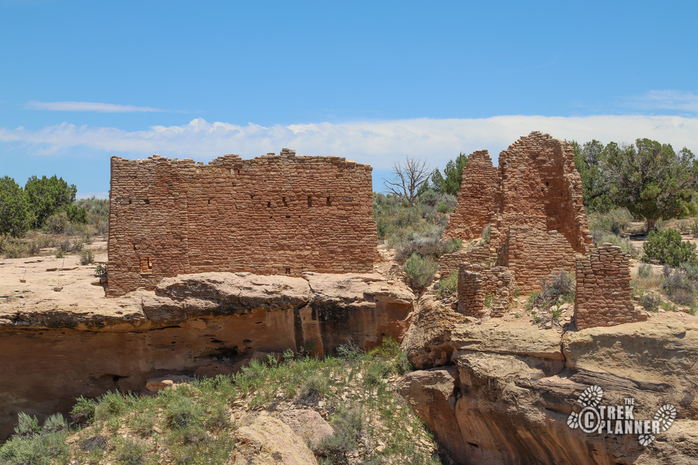
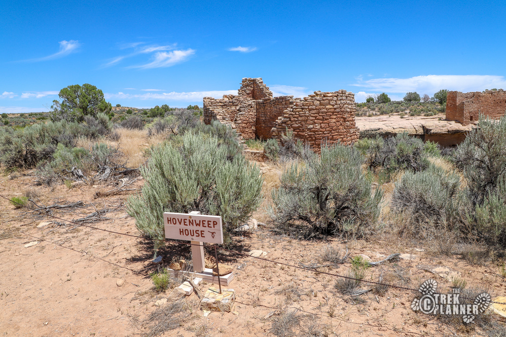
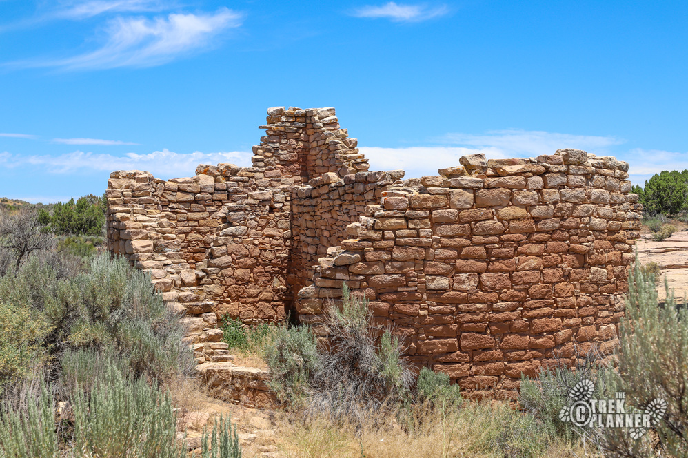
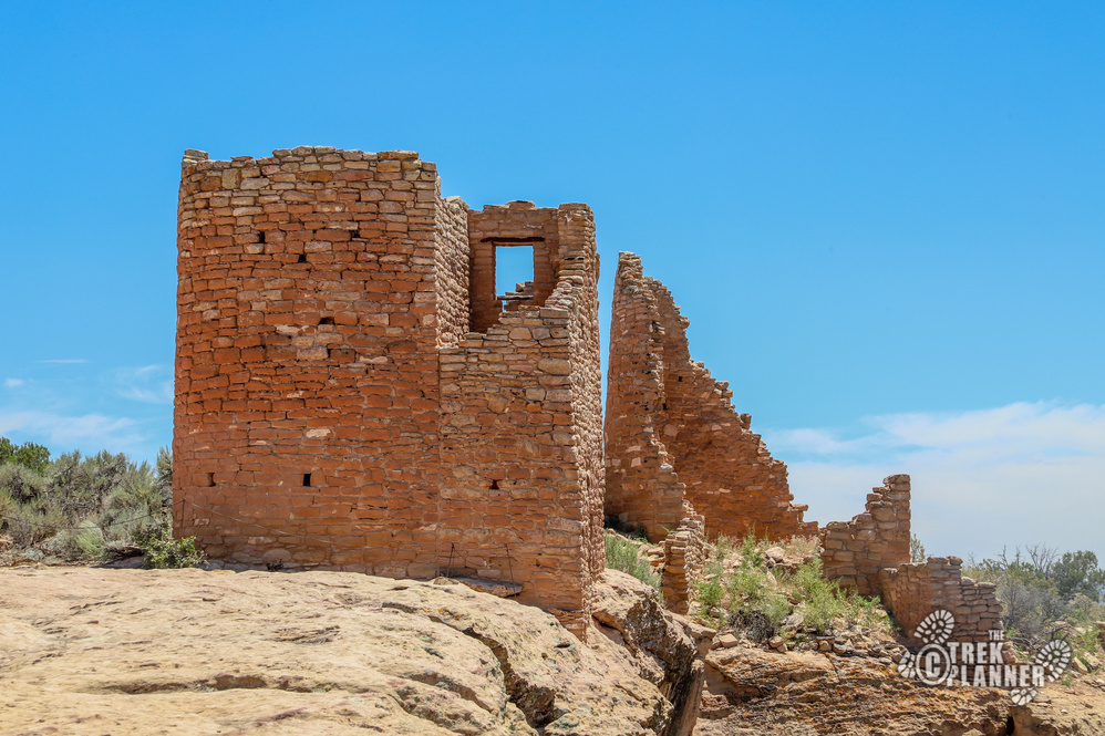
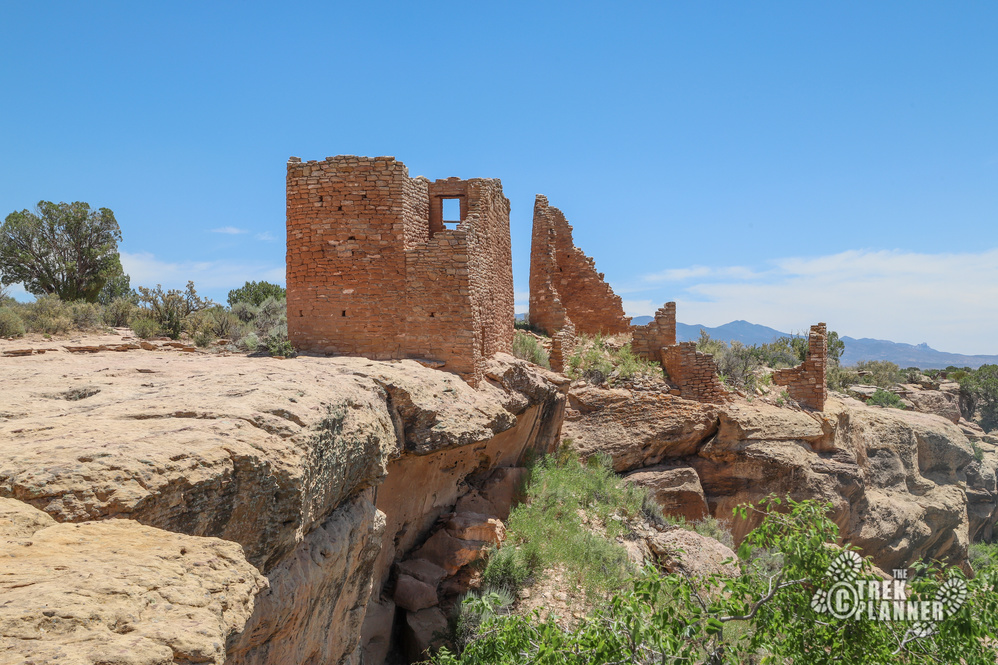
Near Hovenweep House and located in a wash, you will find a checkdam. A checkdam was used to keep as much water as possible through the use of piles of rocks and dirt at a choke point. The ancient peoples of this area were farmers and even though this is a very dry desert, there are sources of water through seeps and cracks in the sandstone walls. Water was used not only to grow crops but to create a type of mortar to cement rocks into place to create these magnificent structures.
Down below you can see the tower for which this group of ruins is named after: Square Tower. You would think that this two story building would be better suited for on top of the canyon and not below in it.
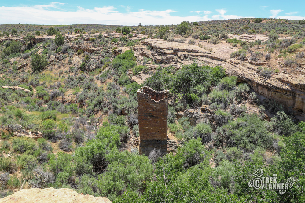

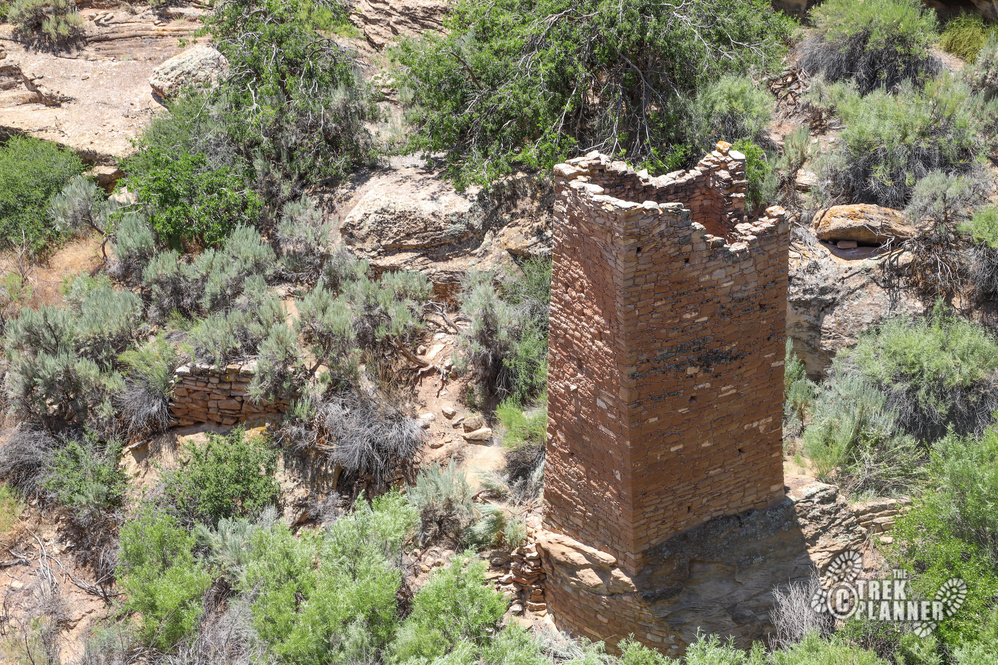
Have you noticed by now that these buildings are of exceptional craftsmanship? Much thought went into the build of each one and even though they are falling apart now, they were probably quite the sight to see when they were actually being used.
The biggest structure is Hovenweep Castle. This structure wasn’t actually a castle for any kind of royalty but it was a large space for gathering and living. According to the Visitor Center literature, this canyon had 100 to 150 people living in it.
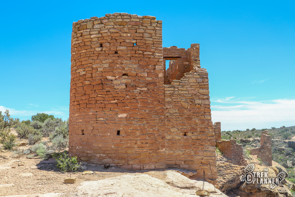
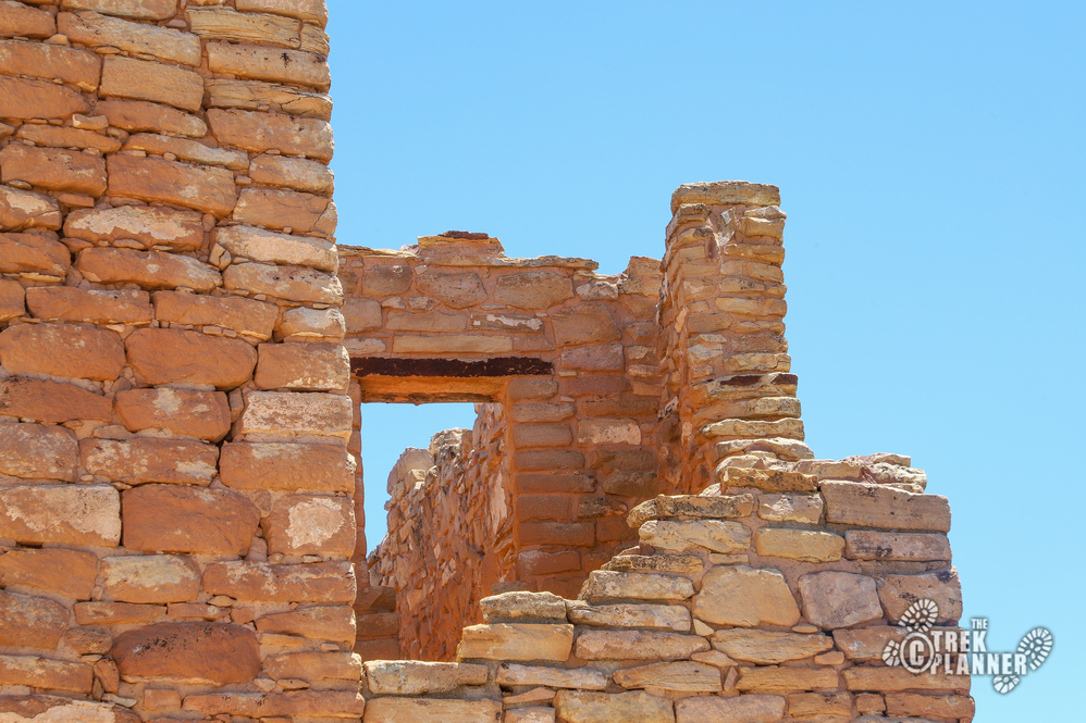
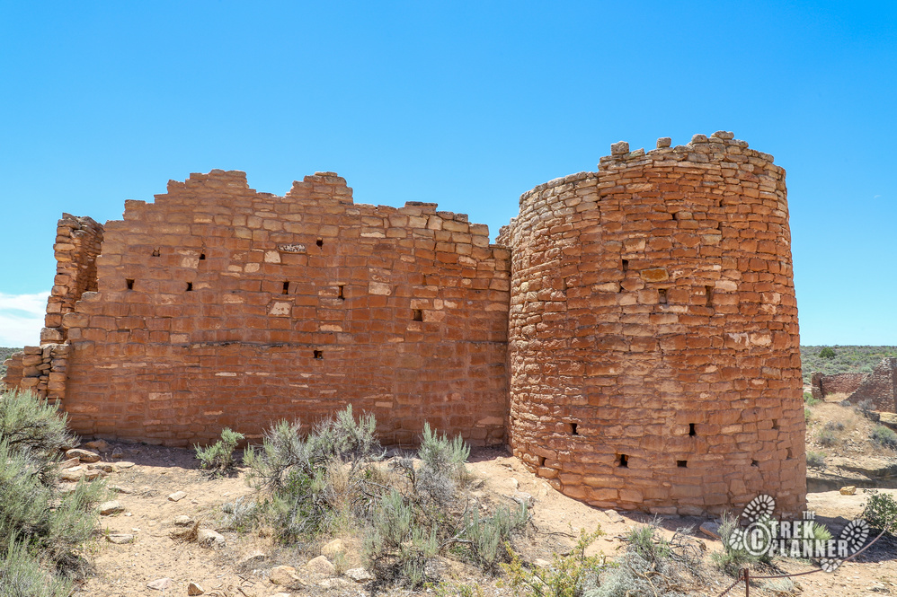
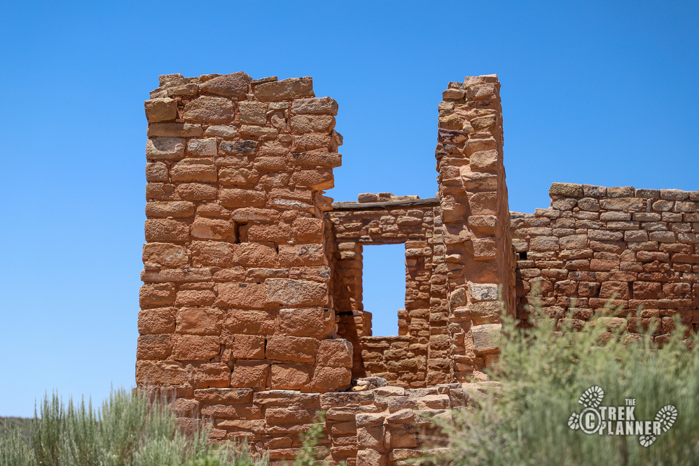
You can hike to Tower Point to see a crumbled tower or you can hike back to Stronghold House. I hiked to see Tower Point and saw remnants of two towers.

You will circle back around to Unit Type House. This house has a kiva and a couple of rooms.
Since I didn’t have a permit to take night photos I came back just before sunset and before the trails close.

Personal Thoughts
What an incredible place! Seeing these ruins up close was a real treat for me! I would love to come back and explore some more the special buildings. This is a must do if you visit Hovenweep!

