The Trek Details
The Trek in a snapshot

Start: 39.08286, -110.66428
Swinging Bridge Campground (North): 39.08165, -110.66513
Outhouse: 39.08103, -110.66493
Trailend and Parking: 39.01418, -110.4901
Closed Gate: 39.01509, -110.48903

The Trail
Follow along on our adventure then go out on your own!


Visiting Mexican Mountain was something that I have been wanting to do for a while (I say that a lot, don’t I?). I did some initial research and found that the road is mostly in decent condition. So, I headed out one day and tried to drive as far as I could down the road.
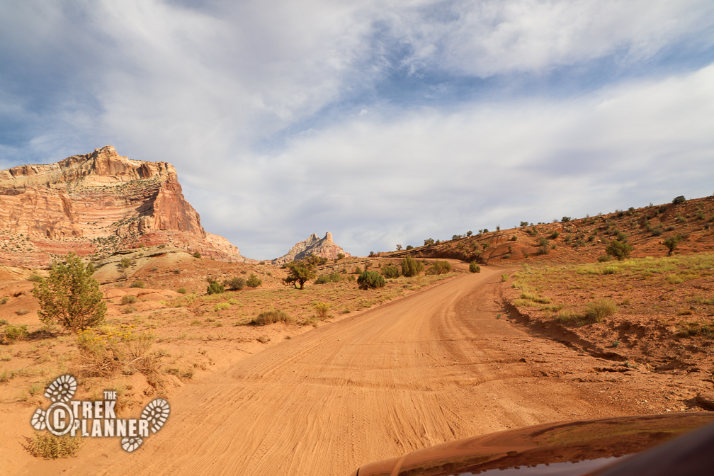
The San Rafael River Road begins in the North Swinging Bridge Campground along the Buckhorn Draw Road in the San Rafael Swell. It’s all dirt and gravel and it seemed to have been graded within the last several months or so. I didn’t have any troubles my low-clearance vehicle until near the end with, even though I highly suggest bringing a high-clearance vehicle. If there are recent rains or snow then I would highly encourage you to drive a vehicle with 4-wheel drive or avoid the road all together if the conditions are severe. This is a very remote place and it’s important to remember to be safe and deliberate with your driving.
The road is deceptive. It would be nice and smooth for 1/4 mile and then all of a sudden I would come upon a 5 inch drop into a dry wash.
The road from start to finish is 14 miles. There are many dry washes in various sizes that you cross over that provide a bumpy experience. I high-centered a few times because I wasn’t gauging properly the depth of some of the washes and would scrape my car. It was nothing serious, but it kept me on my toes for most of the drive. The road is windy and dusty!
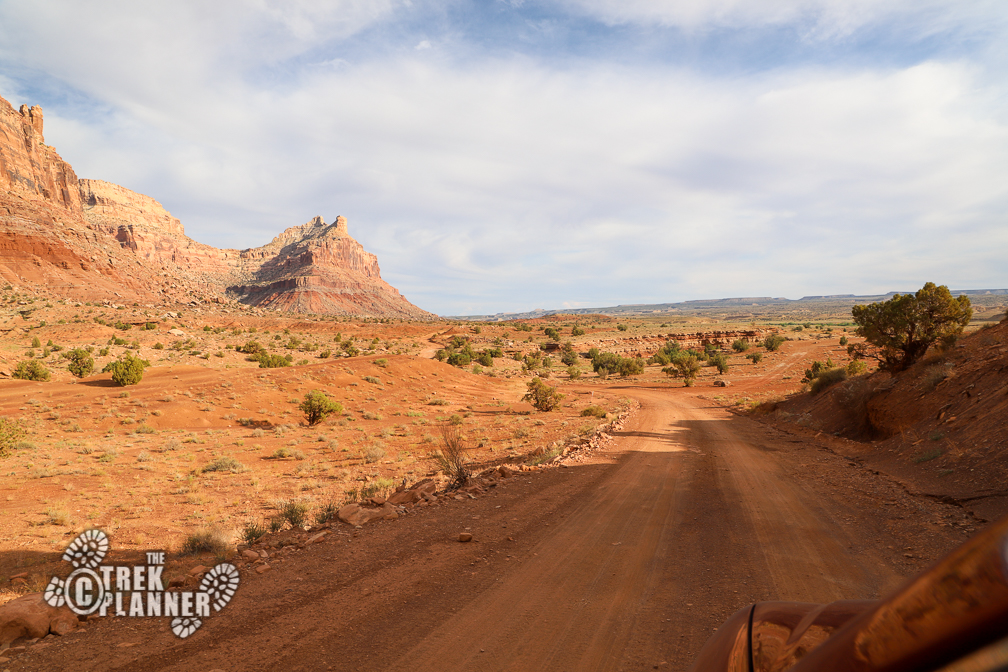
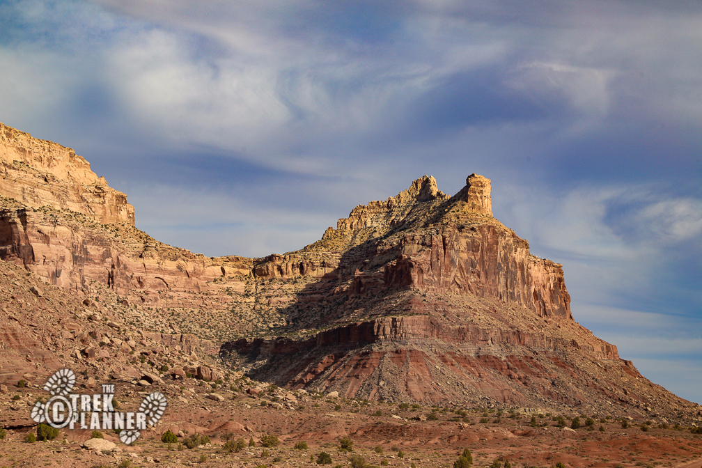
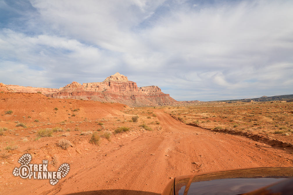
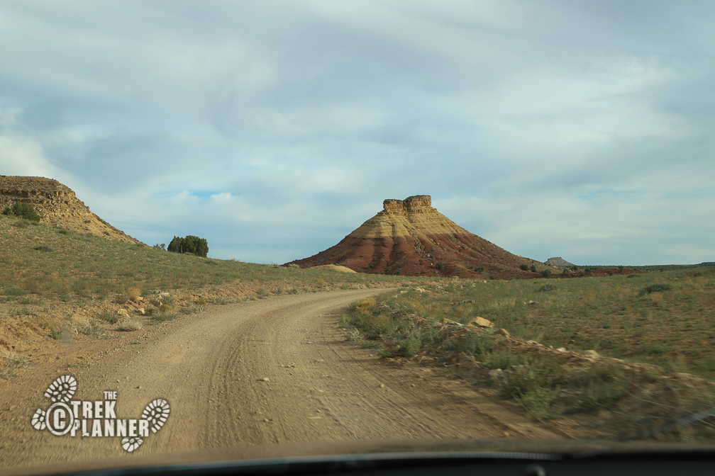
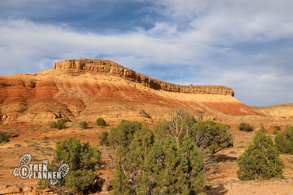
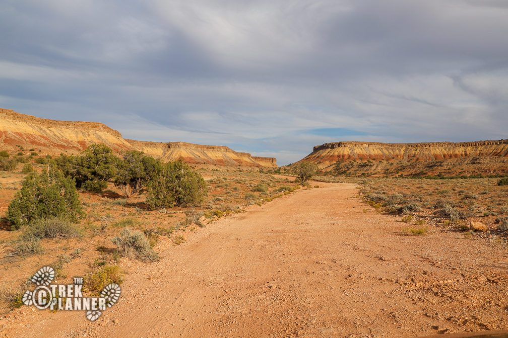
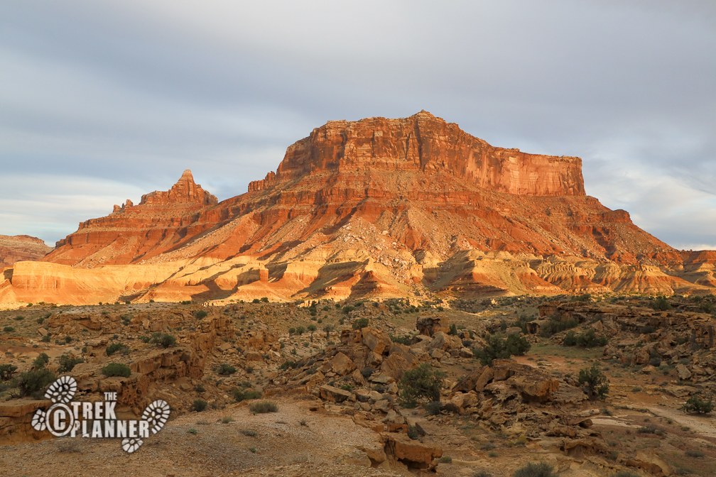
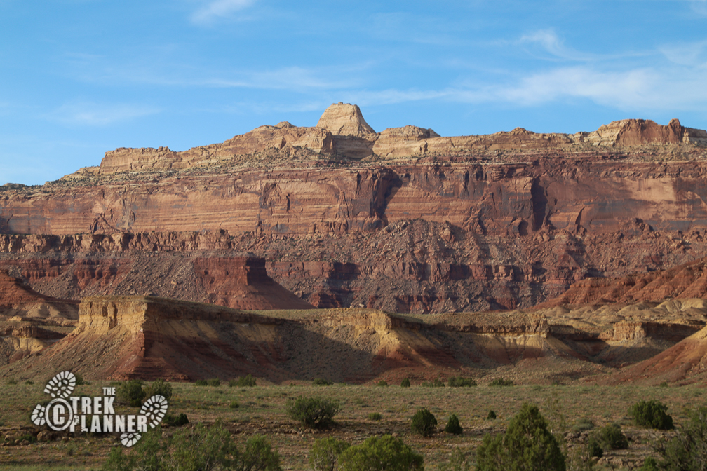
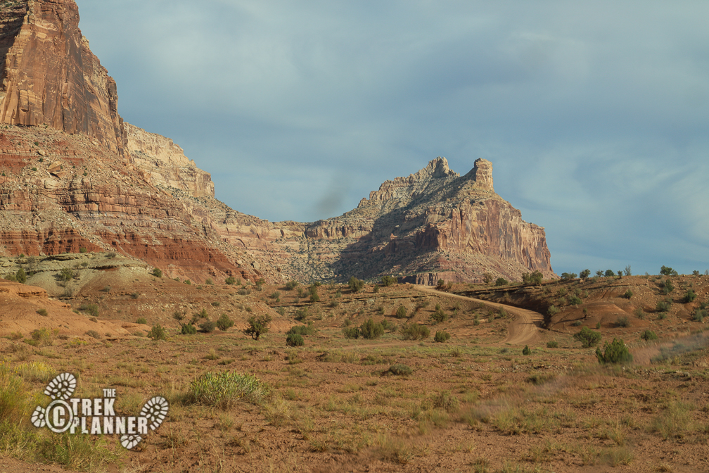
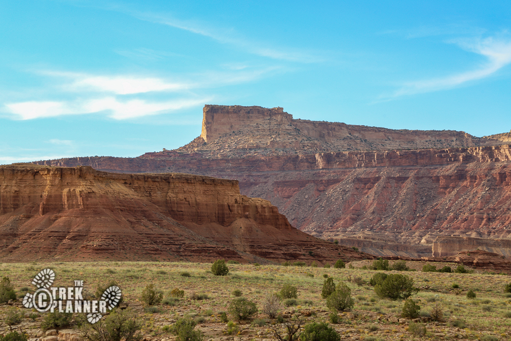
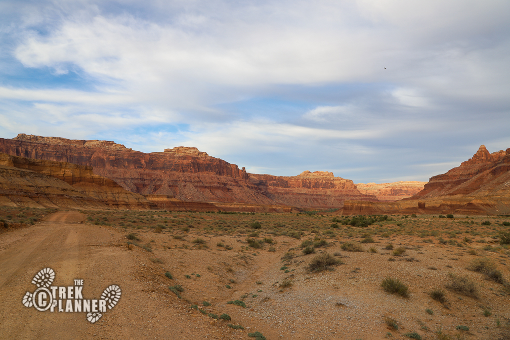
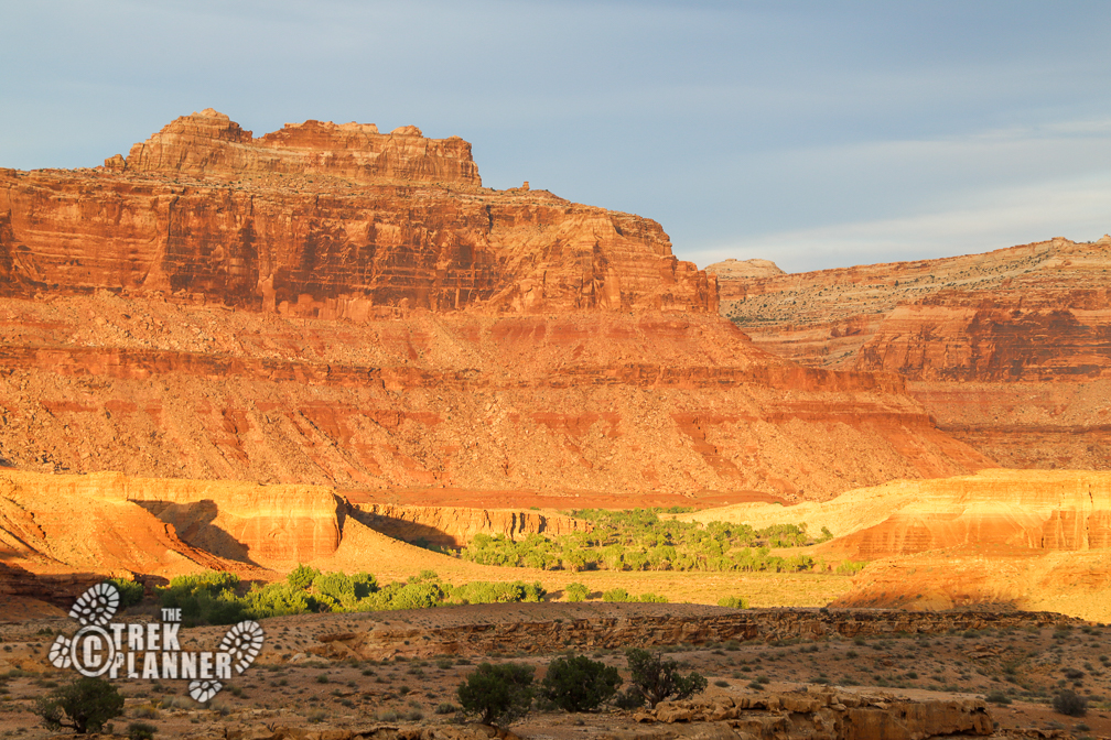
You will pass by some incredible scenery. I stopped often to get pictures and enjoy the quietness of the desert. Many times, the only thing I would hear was a raven in the distance. Not many people make this drive, so don’t expect to see swarms of people. I loved stopping and admiring the landscape and got pictures of Mexican Mountain in the distance.
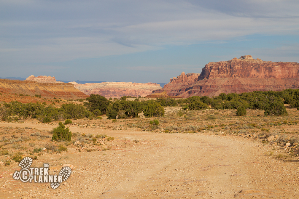
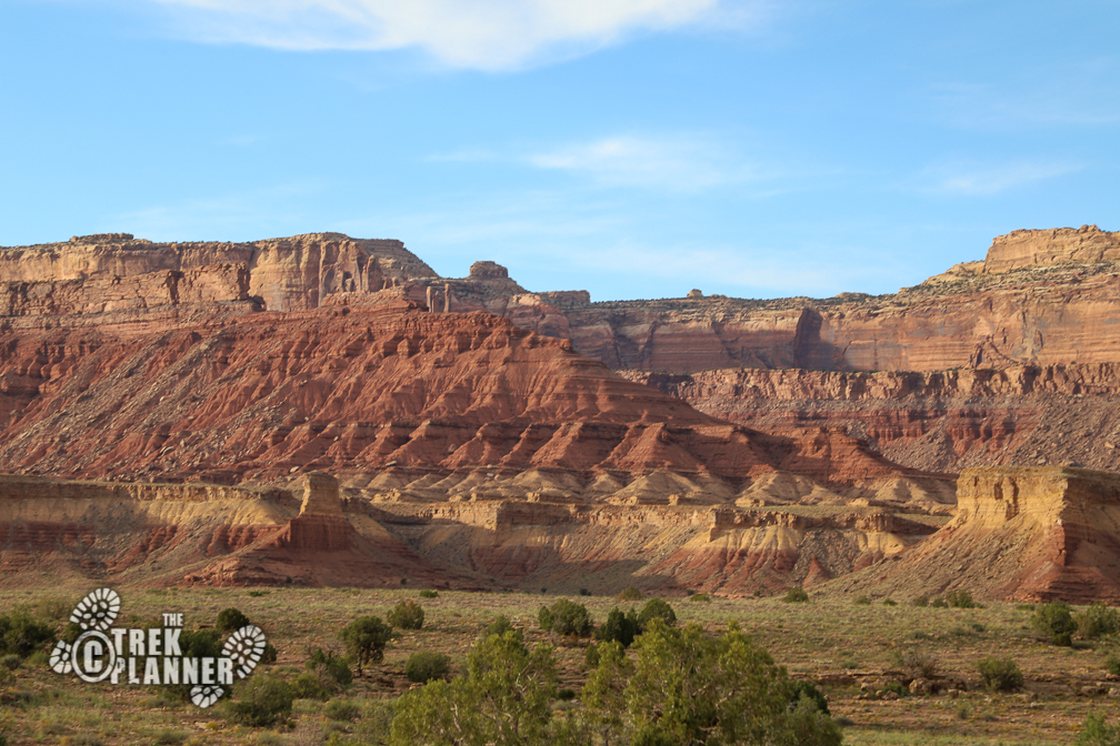

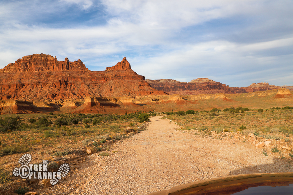
When I was about 2 miles from the end, the road began to roughen up. There were larger rocks on the road and there were some deep holes that I was trying to avoid. At several points, I had to get out and put some rocks in some holes so that I could still drive through. I wished many times I had a high-clearance vehicle!
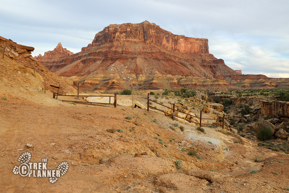
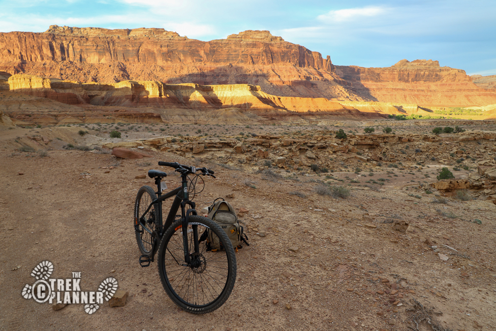
When you are a few hundred feet from the end, you will see a large parking area on your right. Park here. The road continues a few hundred feet to a closed gate, but with no good place to turn around. I pulled out my mountain bike and started biking down the trail from here.


Personal Thoughts
I loved driving down the San Rafael River Road. This is one adventure I will probably do over and over. I don't recommend this for people who think they can just show up and do it - it takes a little planning and preparation.
