The Trek Details
The Trek in a snapshot
Big Cottonwood Canyon, near Salt Lake City, Utah
Unknown
Not allowed in the canyon due to watershed protections
None
None
Not allowed
Dirt trail
Mine tailings, a creek
Bring a bottle of water if needed
Summer
About 0.40 mile roundtrip
15+ minutes
7303 ft
7482 ft
179 ft
Trek Planner Insiders Only!
This content is locked
(memberships are currently unavailable)

The Trail
Follow along on our adventure then go out on your own!


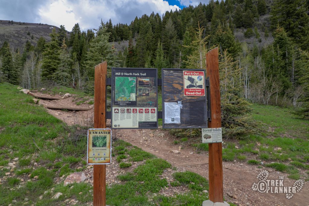
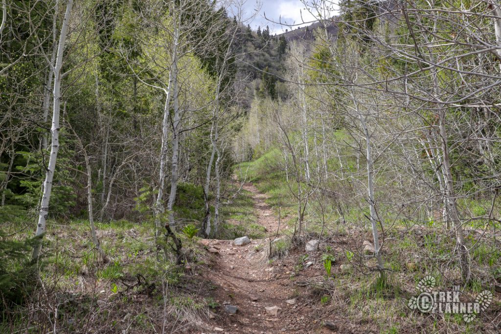
This mine is pretty easy to get to. You start at the same trailhead as Mill D North Fork Trail but there is a side trail that leads directly to the mine. FYI – This trailhead is across the street from the ever more popular Doughnut Falls Trail.
I am not sure on the real name of this mine but it’s located near Reynolds Gulch so I just called it after that. The USGS topography map also didn’t list a name for this mine.
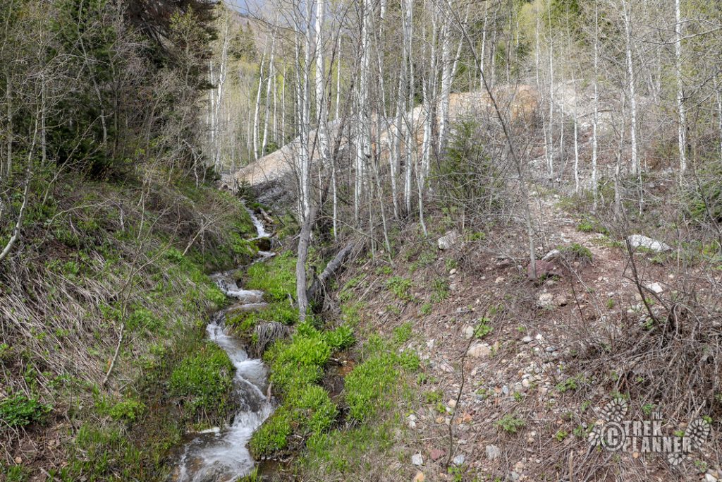
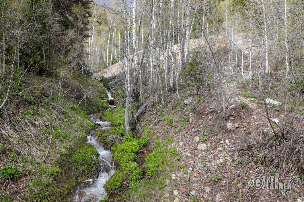
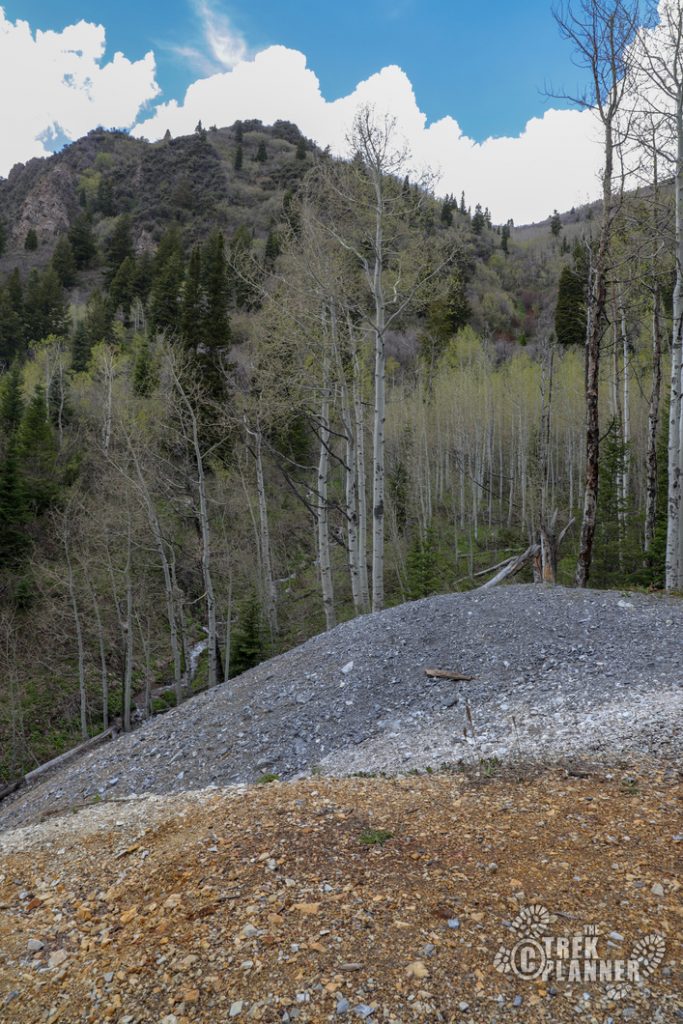
There isn’t much to see at the mine except for a large tailings pile. Judging by the tailings I estimate that this mine has about 700-1000 ft of underground workings.
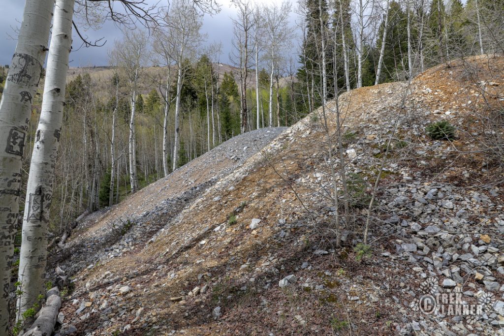
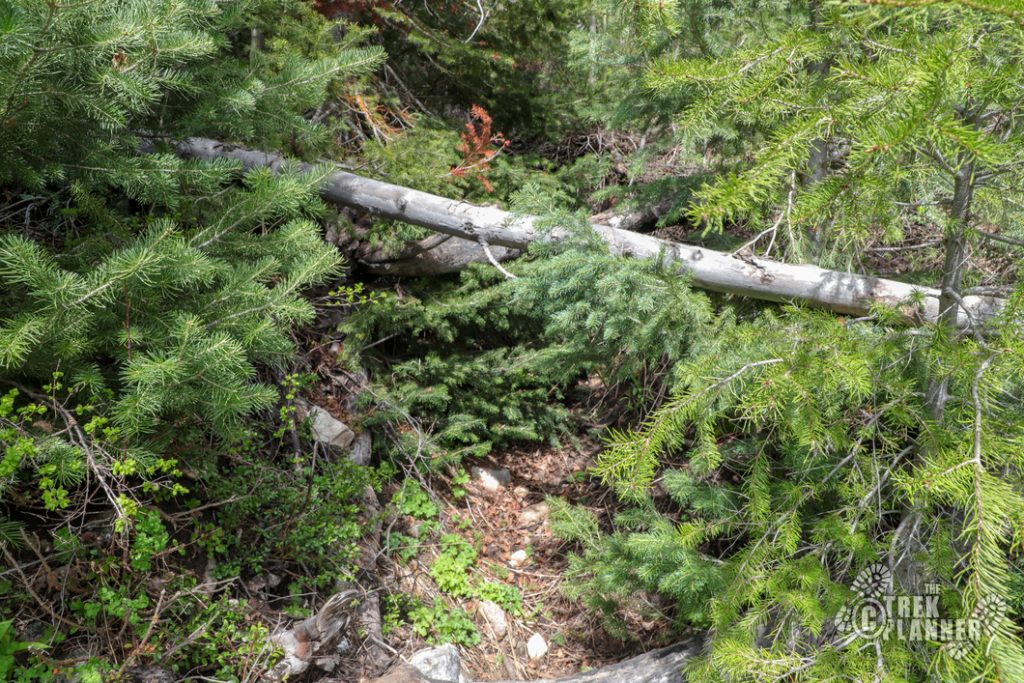
You can see where the entrance used to be but has since been caved. I scavenged the area and didn’t even find any relics or mining “trash” either.
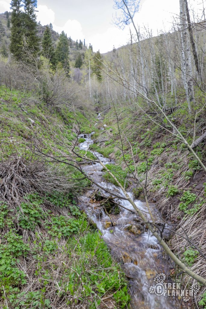
The stream near the mine is probably the neatest thing about this Trek!

Personal Thoughts
This is how mine hunting works sometimes. Sometimes you find open mines and sometimes you find closed ones. Sometimes there are tons of artifacts and relics to take pictures and sometimes there is just some tailings and that's it!
