The Trek Details
The Trek in a snapshot

Trailhead: 36.06249, -107.96558
Yellow House: 36.0651, -107.96998
Casa Chiquita: 36.06909, -107.97652
Peñasco Blanco Ruins: 36.08098, -108.00275
Trek Planner Insiders will see 7 additional GPS coordinates for petroglyphs
This content is only for Insider Members


The Trail
Follow along on our adventure then go out on your own!


I won’t go into too much of the history of Chaco Canyon since I could not do it justice. You can find out more from the National Park Website: https://www.nps.gov/chcu/learn/historyculture/index.htm
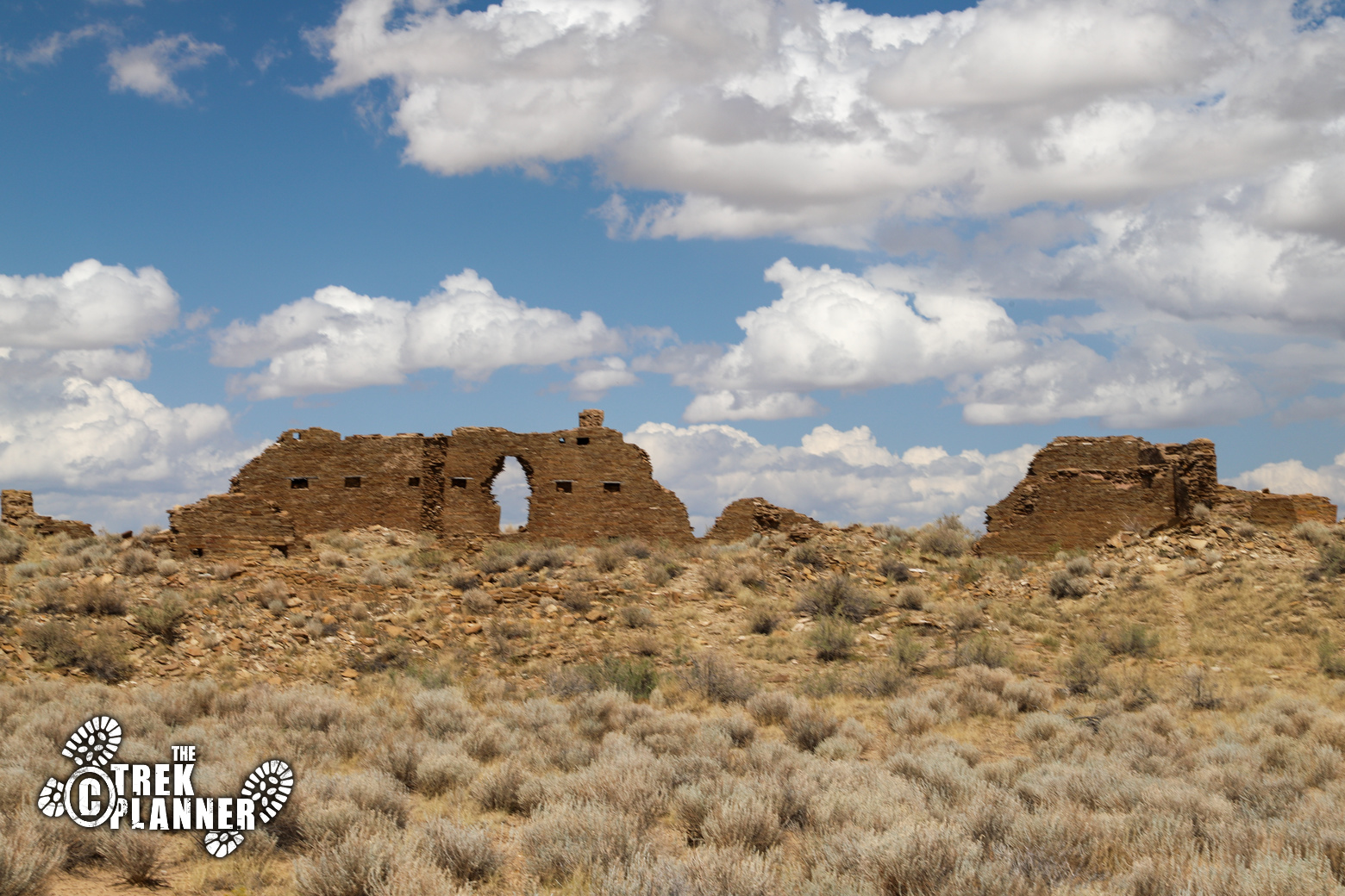
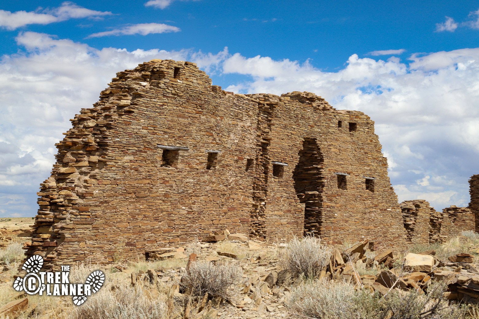
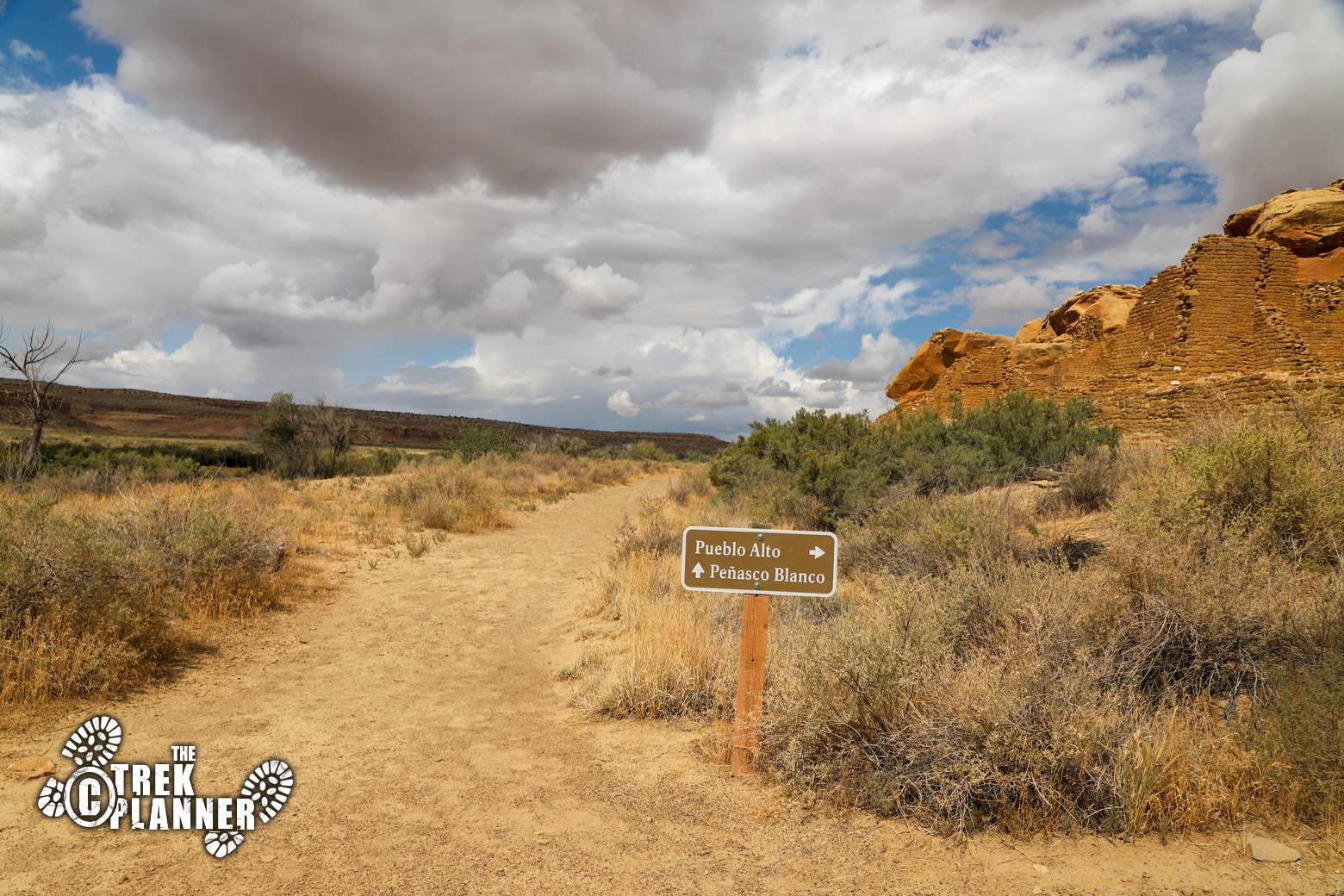
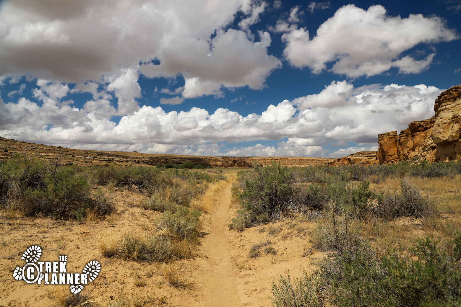
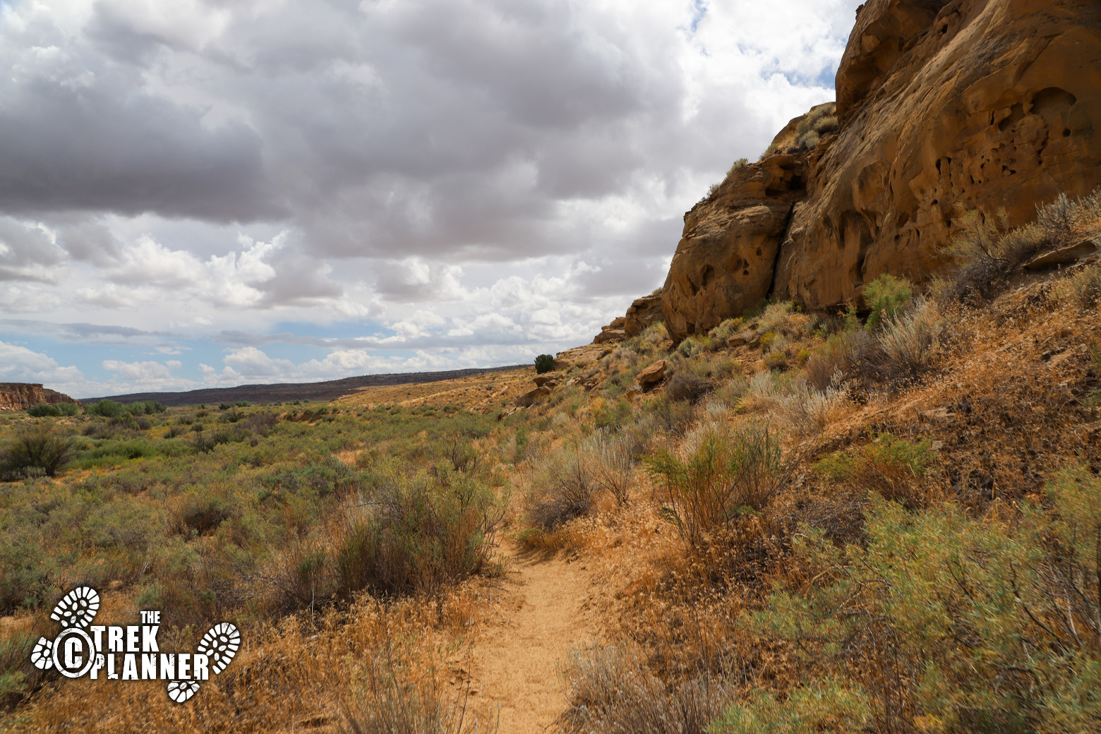
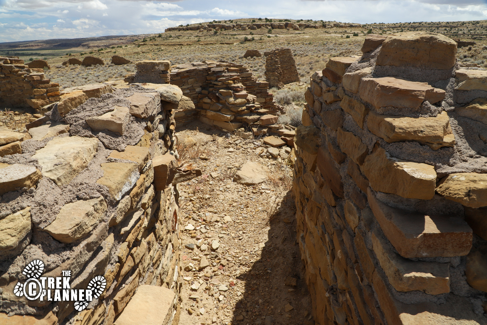
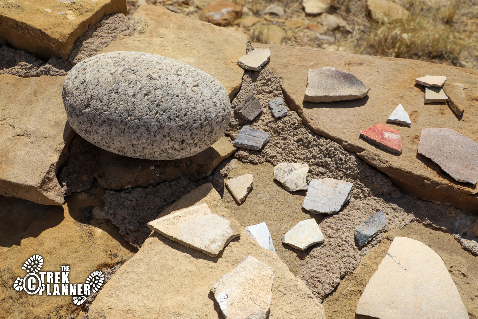
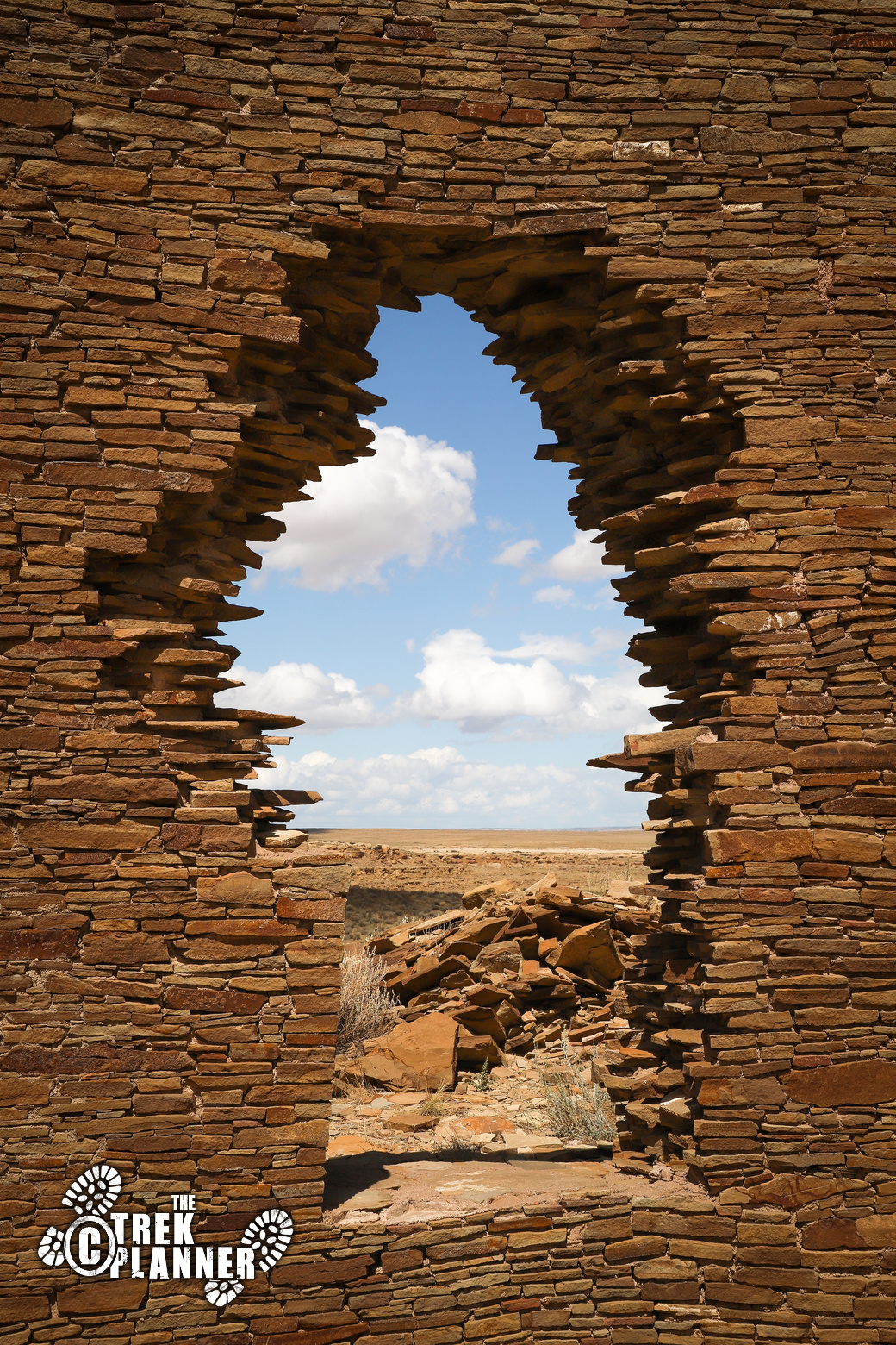
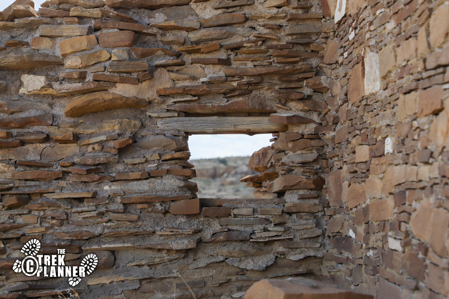
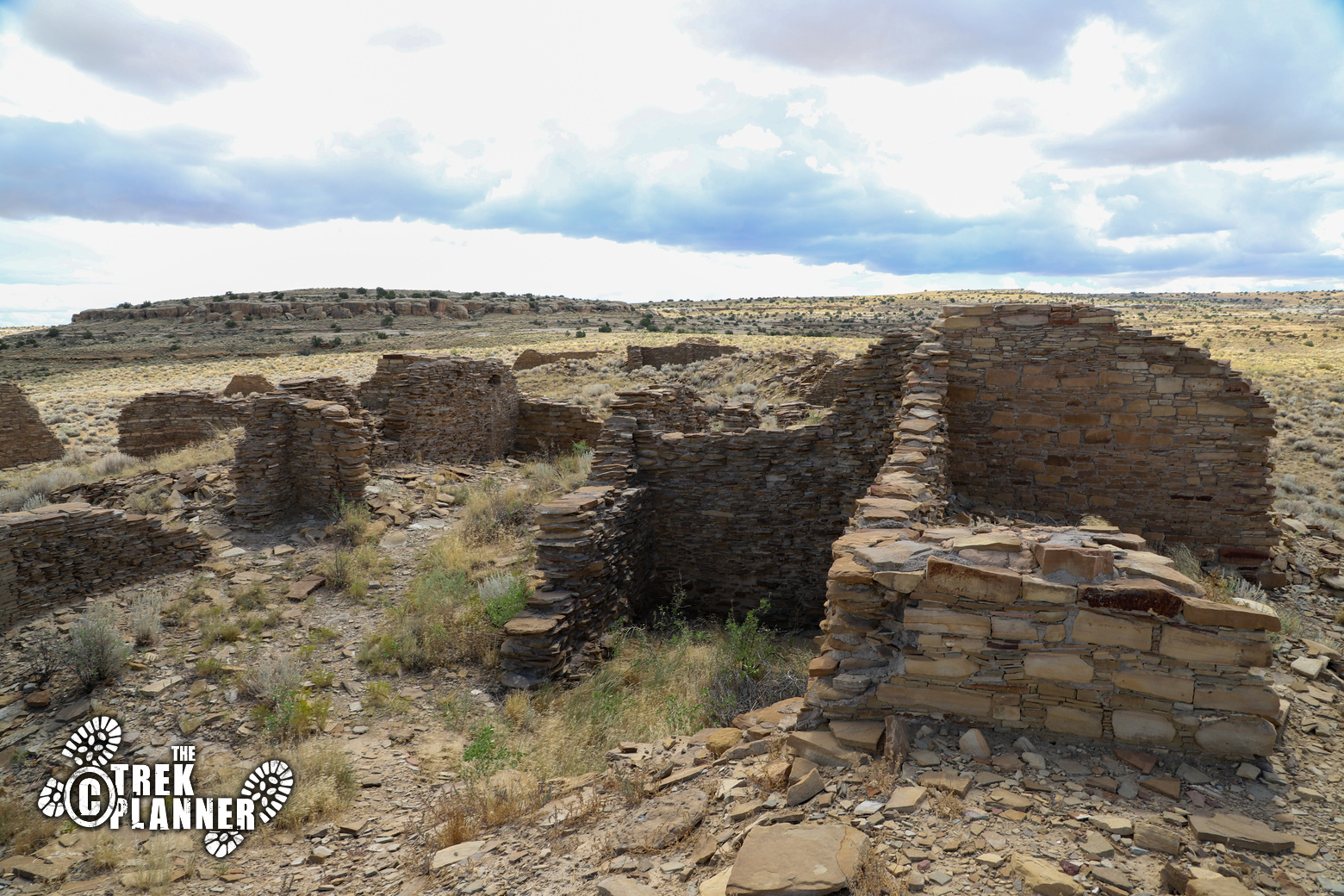
The hike to Peñasco Blanco is a long one, but it’s mostly flat until the approach the ruins and the trail is very easy to see and follow. The area where the ruins at Peñasco Blanco is located have some of the largest footprint in Chaco Canyon, but most of the ruins have since fallen down. You will find lots of walls, windows, and even some broken pottery. You are not allowed to disturb the ruins or broken pottery, but instead you are encouraged to take lots of photos!
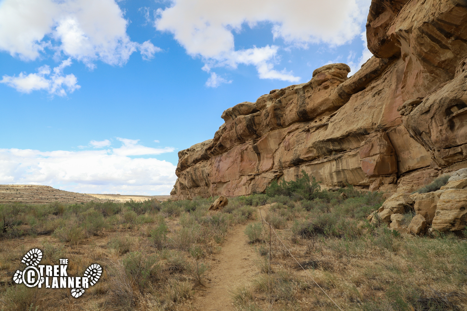
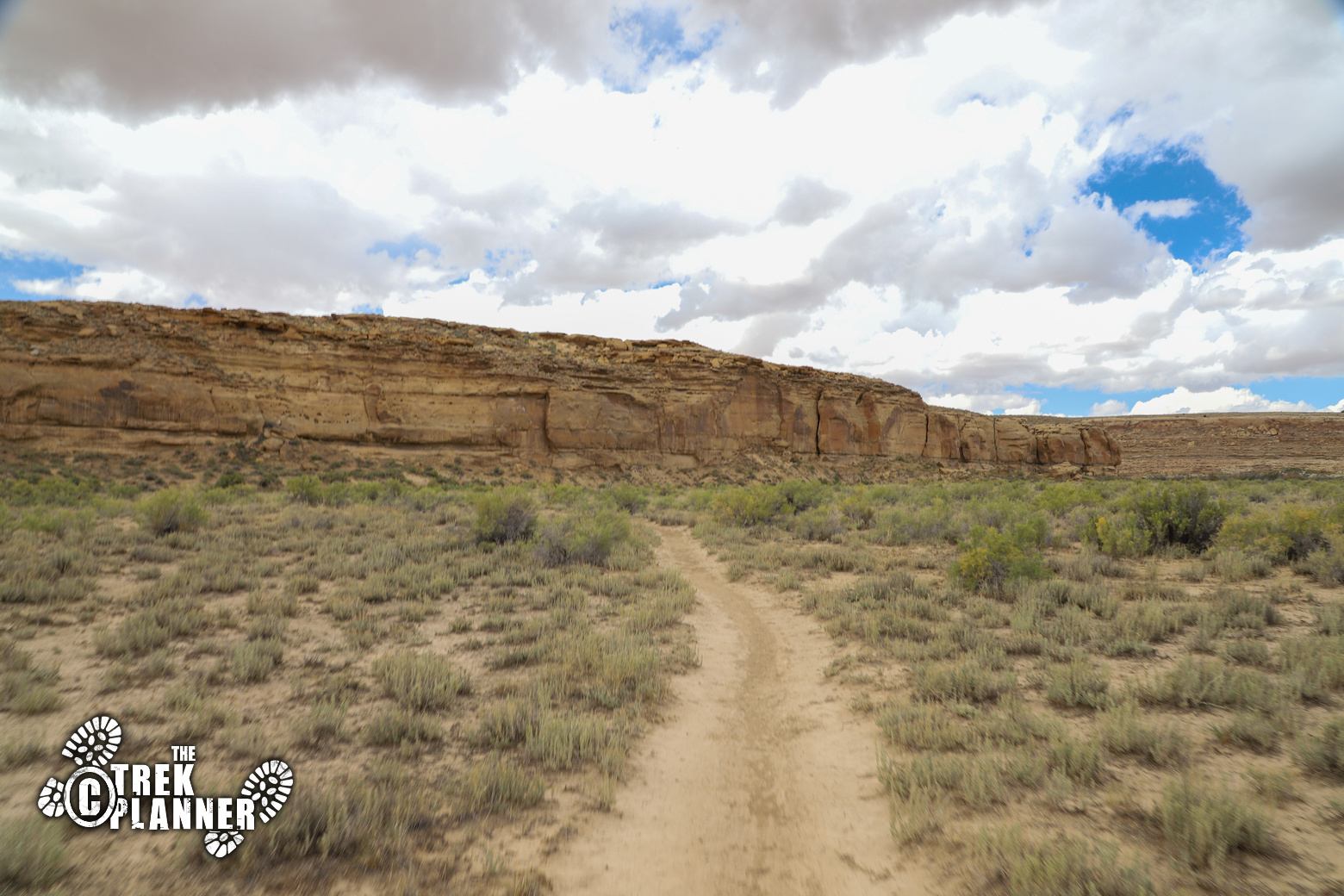
The trail will travel next to the cliff side for a good portion of this hike. You will first pass by the Yellow House ruin at about 1/4 mile into your hike, which are pretty neat to see. I spent my time exploring these as I was hiking to Pueblo Alto the day before.
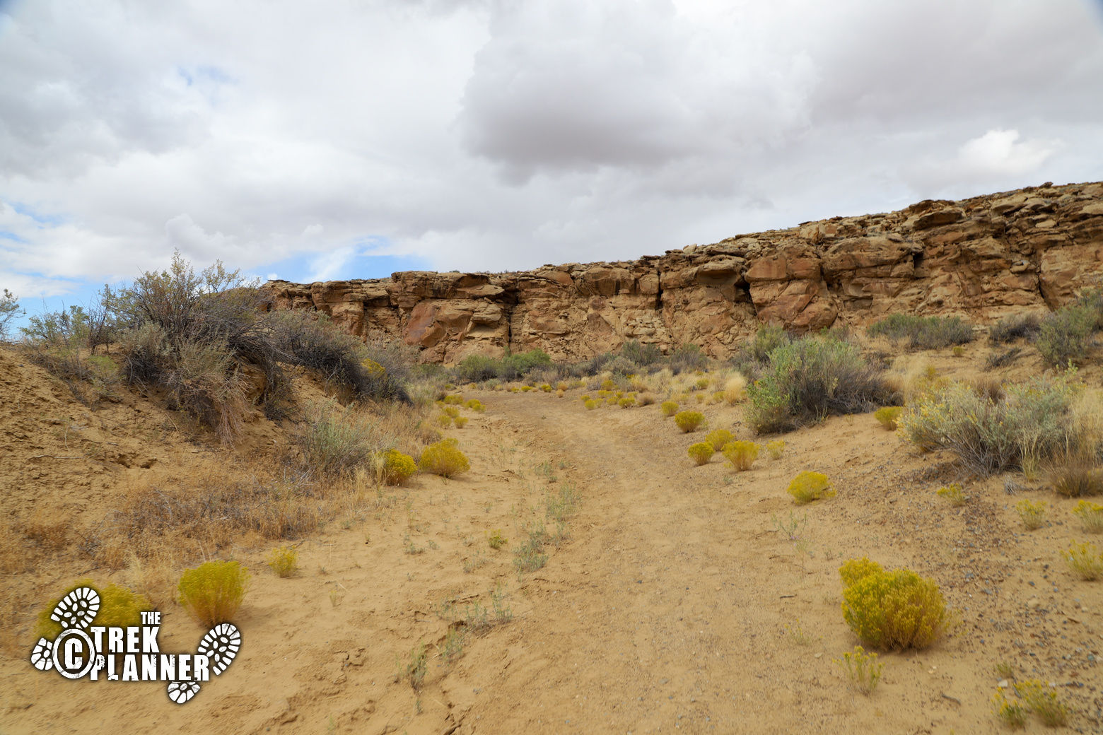
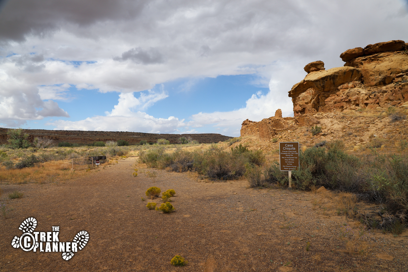
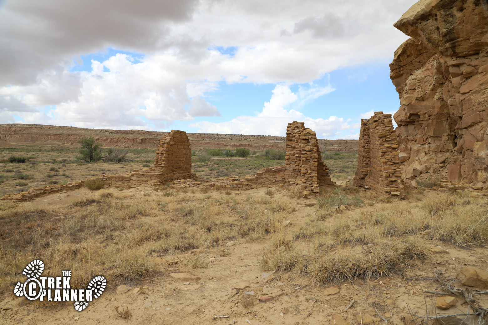
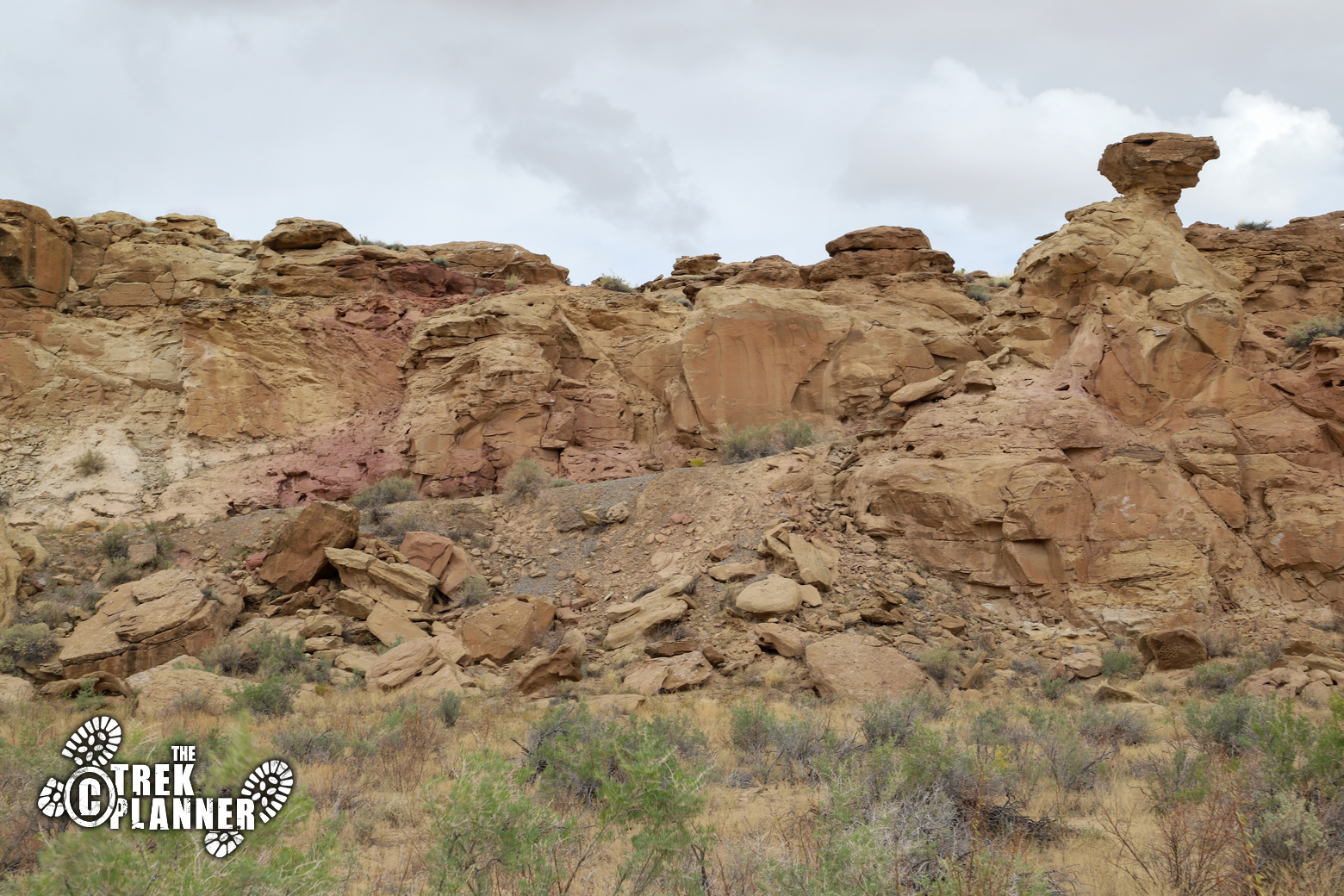
After you hike about 1 mile you will come to Casa Chiquita. These are even smaller ruins than the ones at Yellow House, but if you look at the back of the ruins, you will see a ramp that was made to access to the top of the mesa.
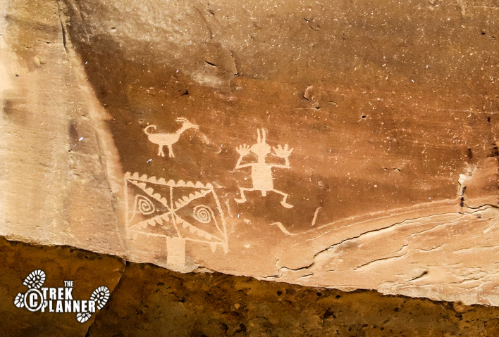
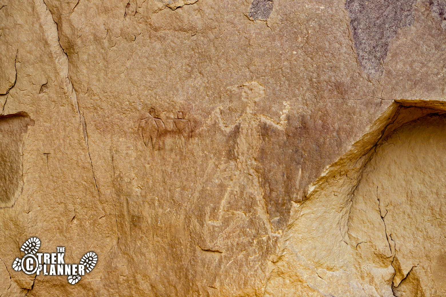
Just around the corner you will find a small grouping of petroglyphs.
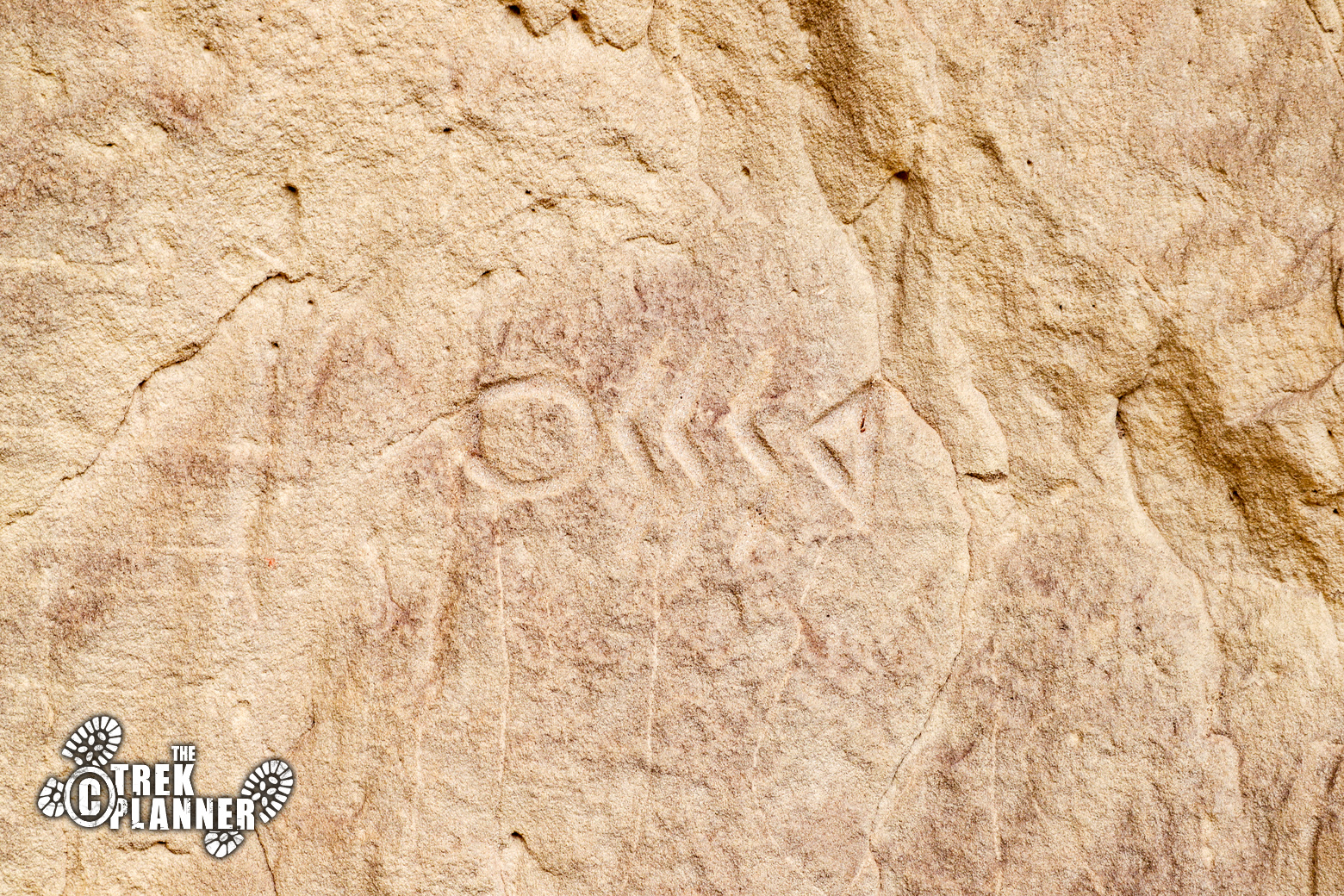
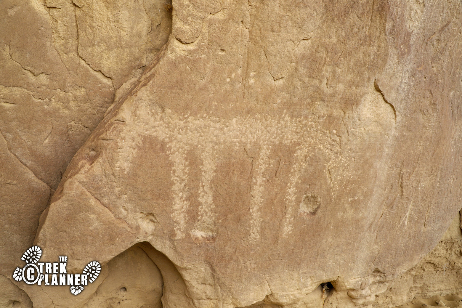
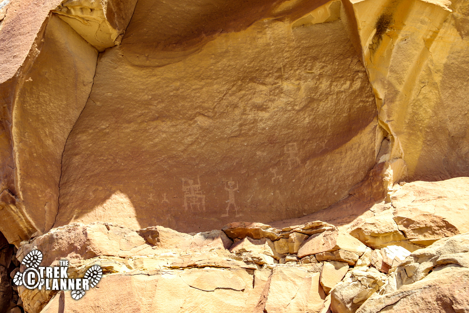
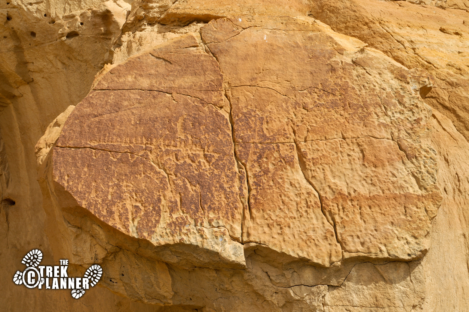
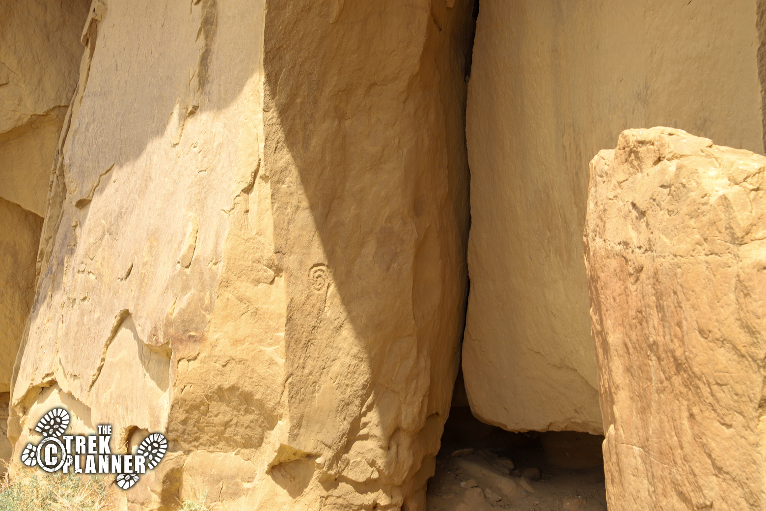
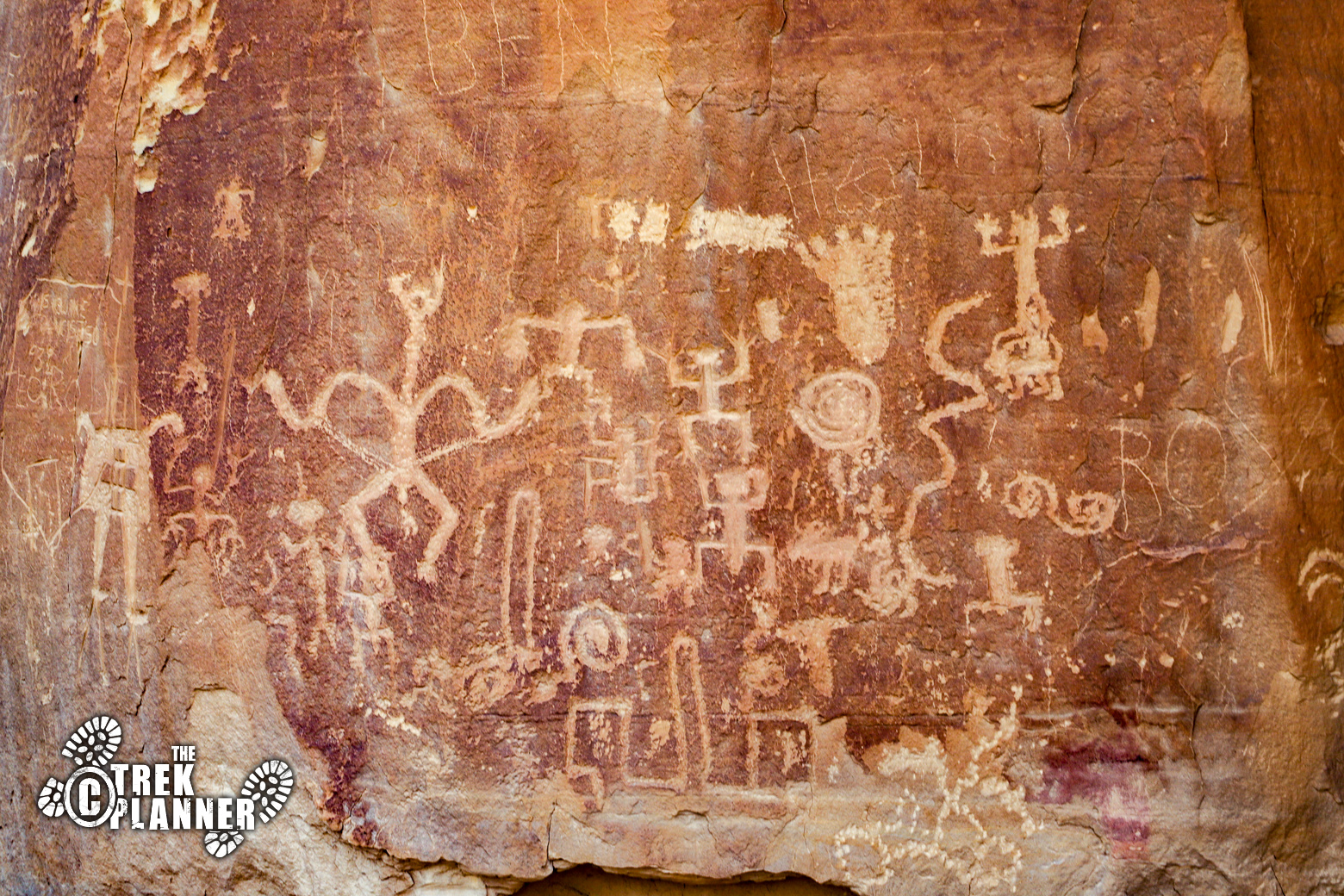
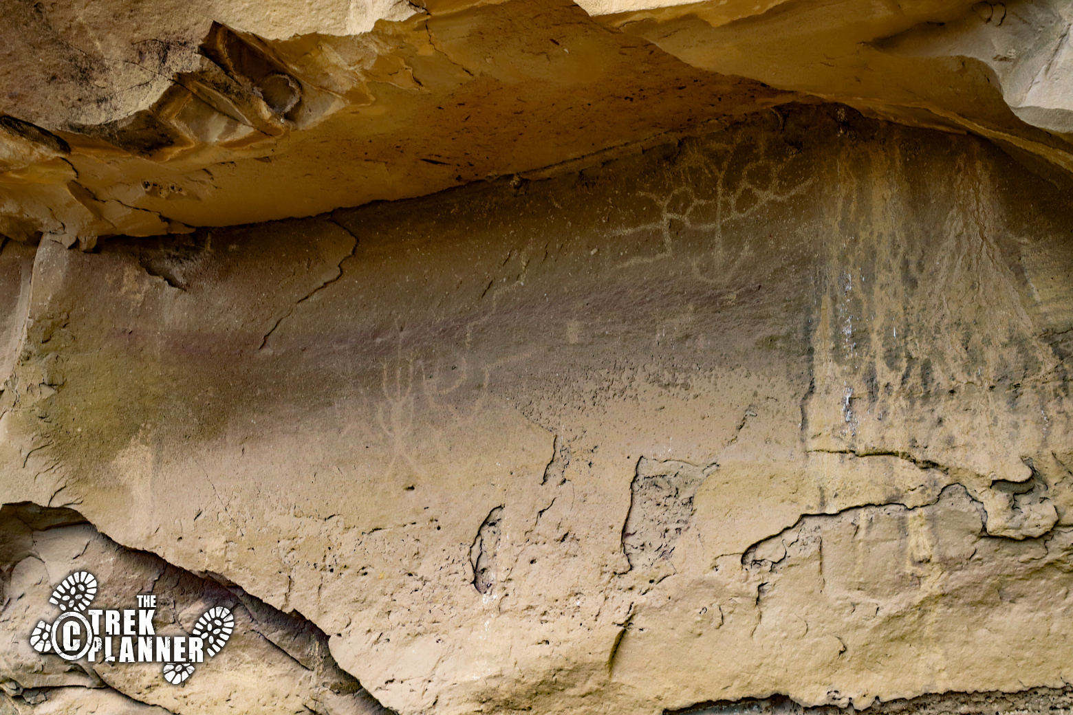
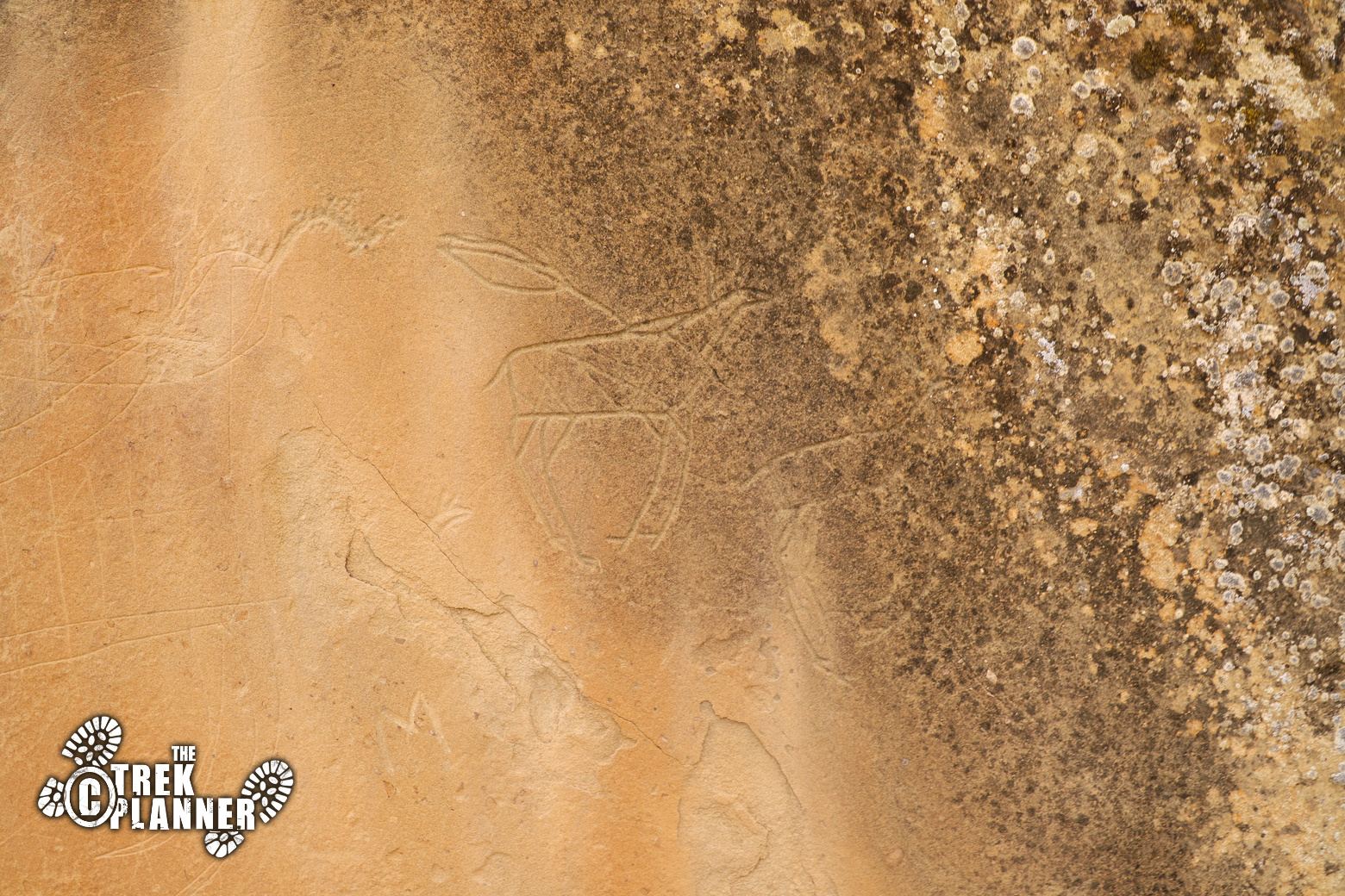
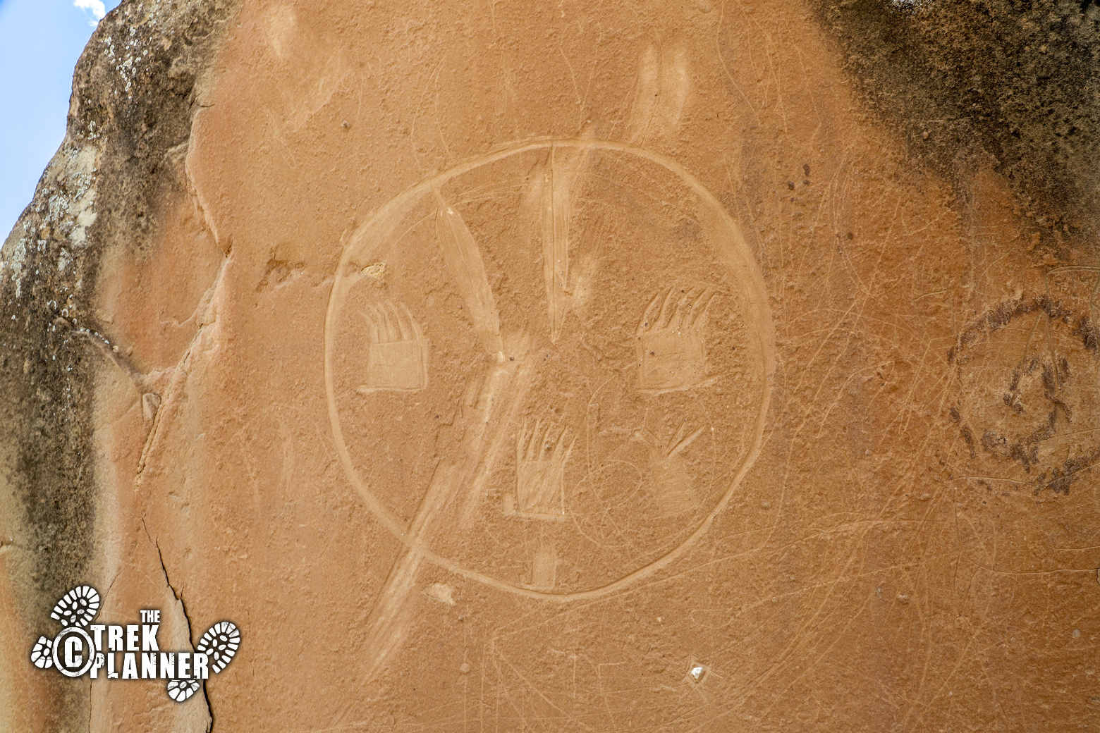
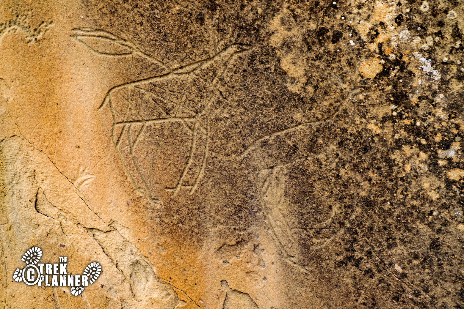
Hike about another 1/4 mile and you will see lots more petroglyphs and pictographs. Some are high up on the cliff side and make you wonder how and why they made these this high.
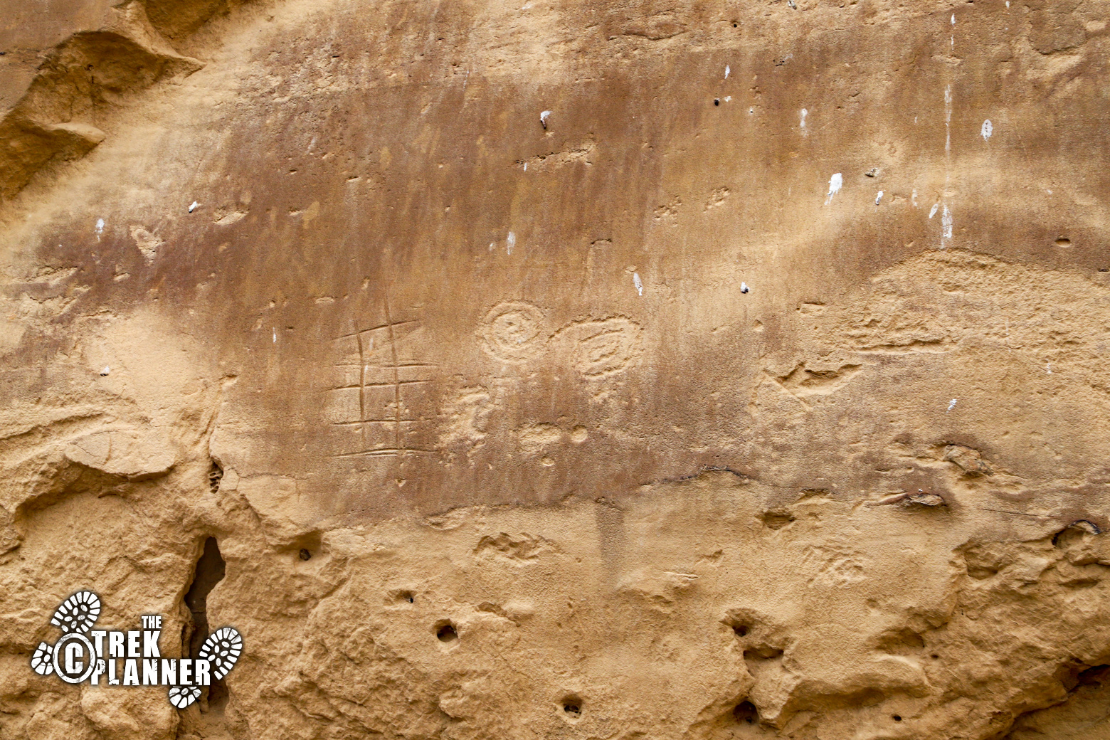
You will see even more petroglyphs along the walls as you continue hiking. There are tons! Some of the best ones are way high up on the cliffs and it makes you wonder what type of scaffolding or ladders or ropes they used to carve these. If you have your “petroglyph eyes” on, you will probably spot the inscription from the US survey crew that came through Chaco Canyon.
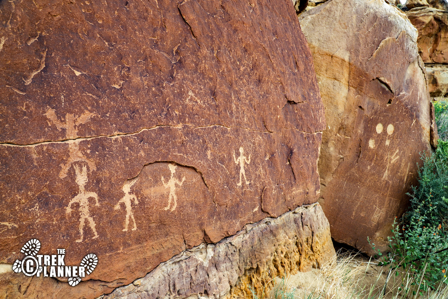
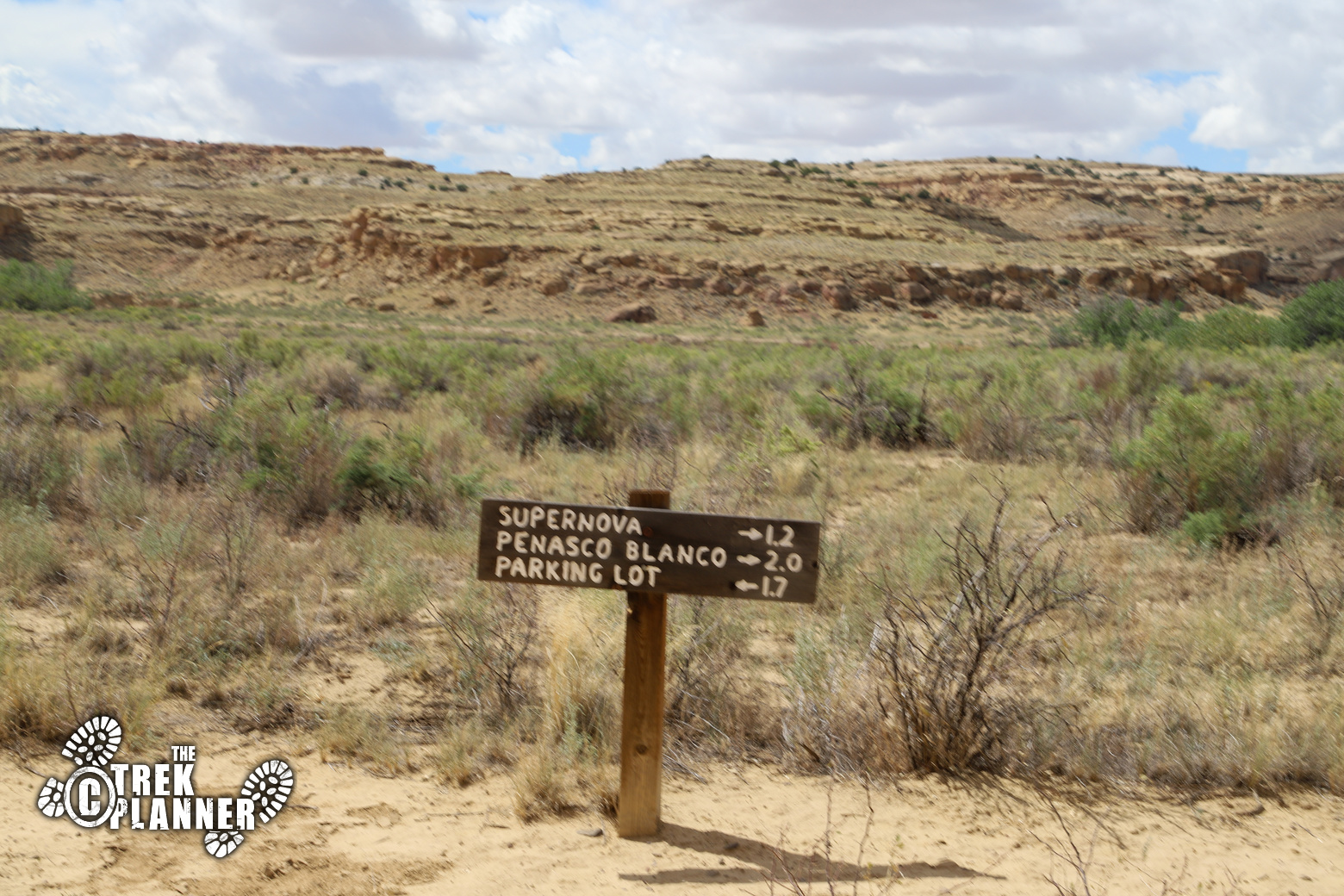
Eventually, you will leave the cliffs and cross over the valley to the other side – it’s about another 1.2 miles to the Supernova Pictograph. While hiking, it was extremely hot and there was little shade along this route. I figured the faster I got to the other side the faster I could rest in the shade. You will also cross through a deep dry wash before you come to the other side. Just be careful if there are recent rains or if it is raining – do not cross it!
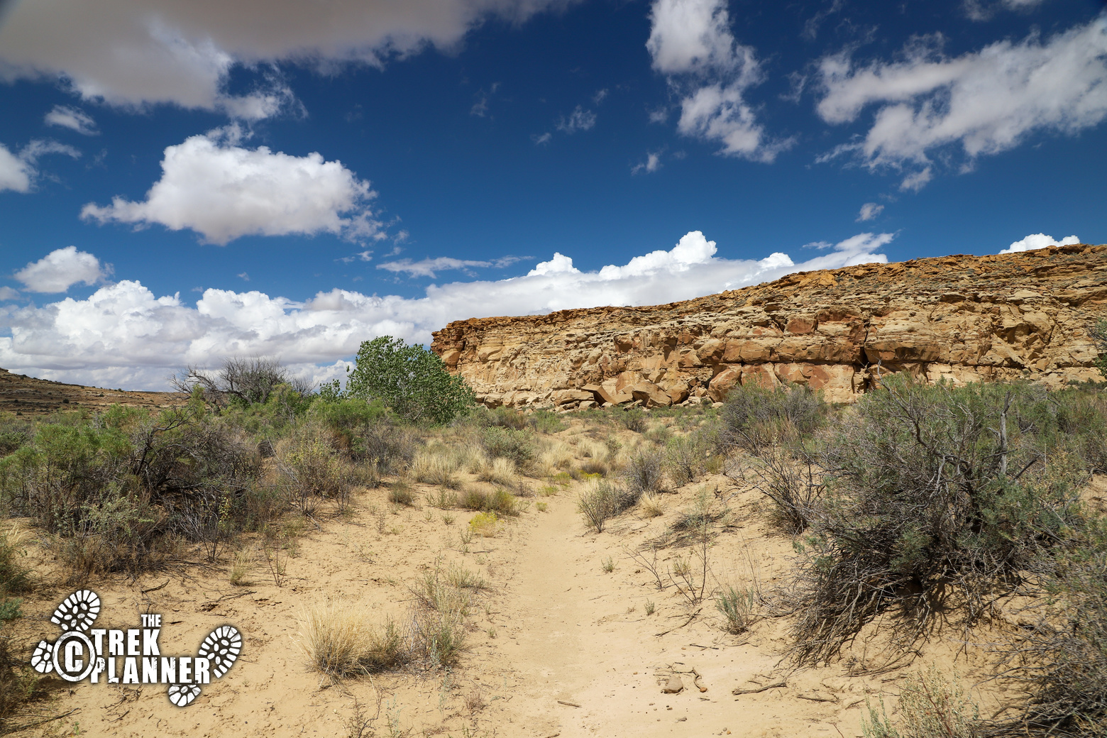
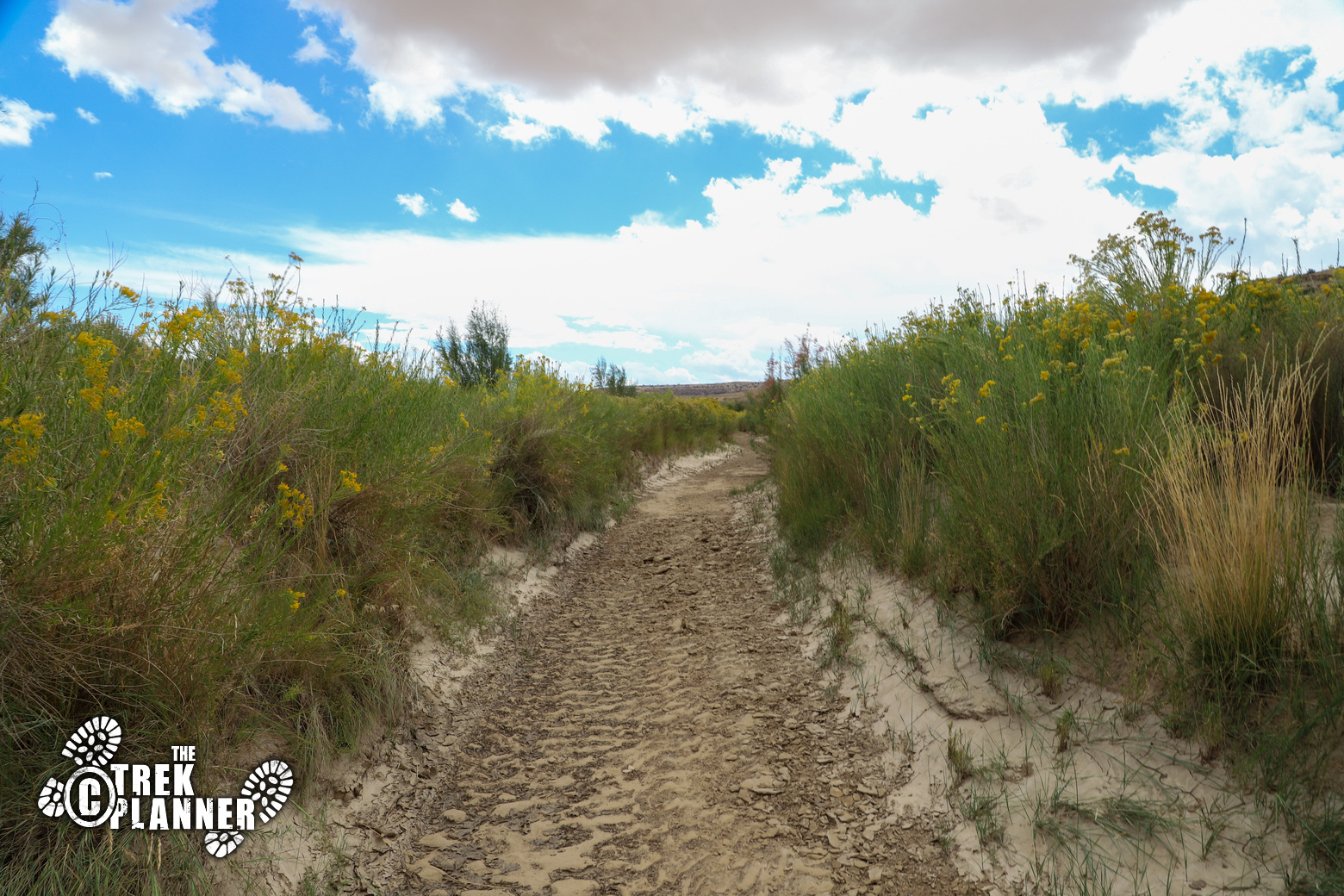
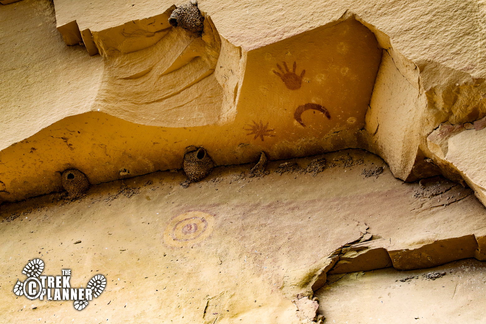
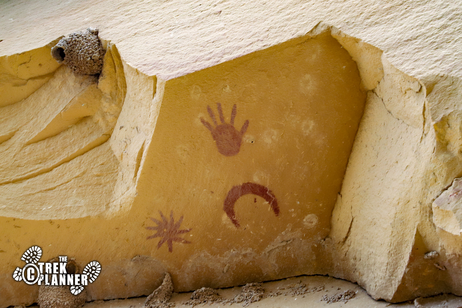
After you cross over the wash, look up on the cliff walls and you will see some small overhangs. Underneath one of these overhangs are some petroglyphs and even the famous Supernova Pictograph. Some people believe that this pictograph depicts the supernova that happened on July 4 of the year 1054. (The supernova was a star that exploded and is now the Crab Nebula). During this same time period, the Chacoan Culture was near its peak and is highly likely it was observed by the Chacoans and they painted it here. You will see a hand print, a crescent moon (or solar eclipse), and the supernova star. Just below this you can see faint yellow circles and also a long red tail. Some people believe this is a representation of Halley’s comet that was visible in the year 1066.
Are you looking at an ancient documentation of astronomical events that happened a thousand years ago? It’s highly likely, but we do not know for sure. I think it is possible that the supernova and also Halley’s comet were known to the ancient Chacoans and they painted their record on this rock-face along with a hand print suggesting that these events were personally witnessed by the people that once lived here.
 The trail skirts the side of the cliffs for a bit and you will see more petroglyphs along the way to the ruins. You will have about 0.80 mile left.
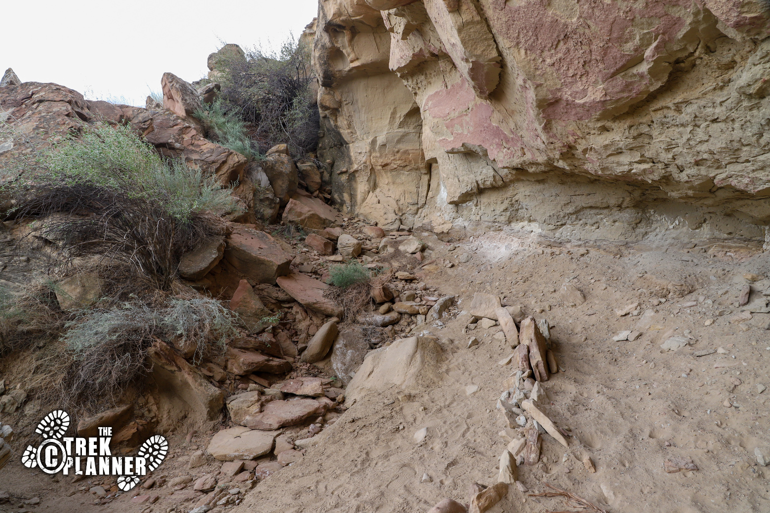
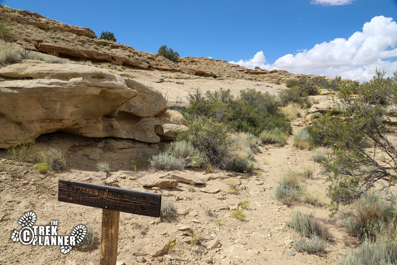
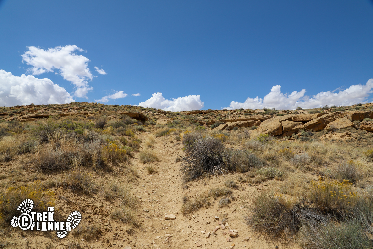
Here is where you will gain most of the elevation, but the hike is gentle and winding until you come to the Peñasco Blanco Ruins.
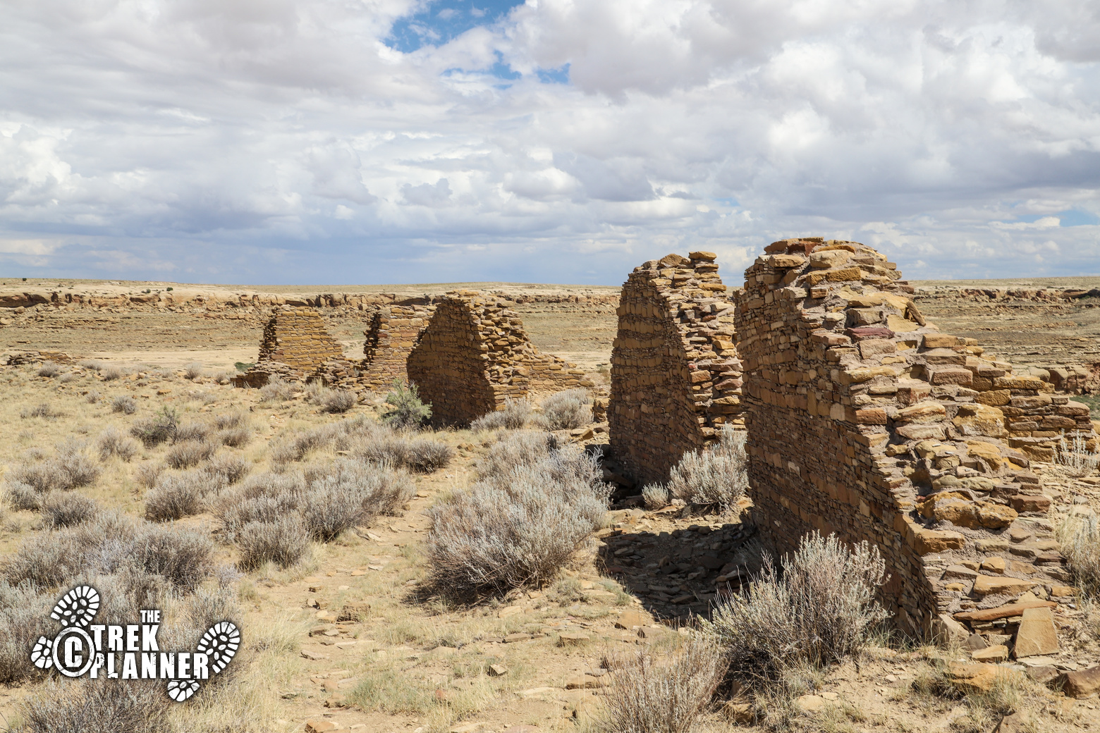
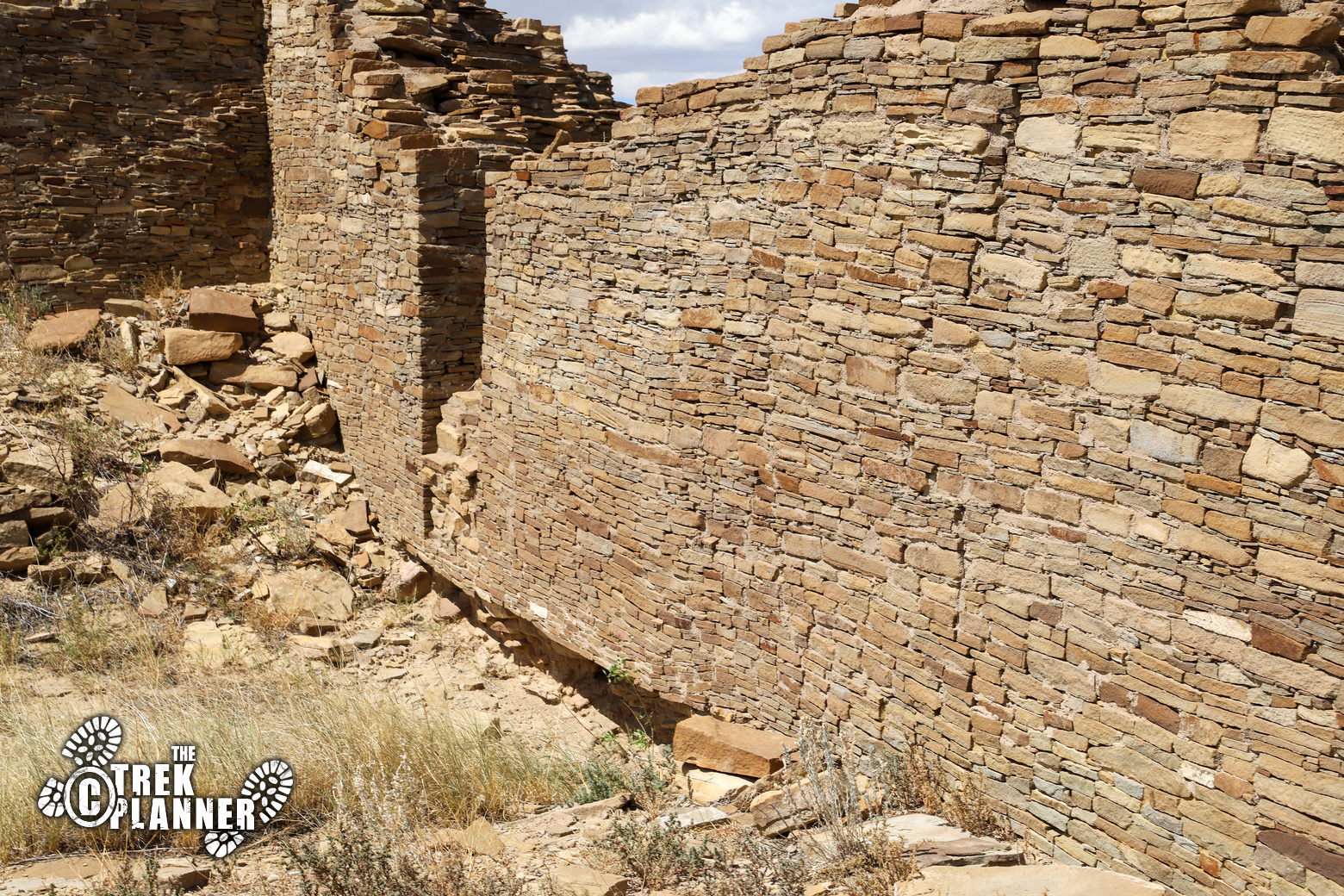
Remember to always be respectful of the ruins. Don’t climb on the walls or touch any of them. Be careful of where you step and just take photos.
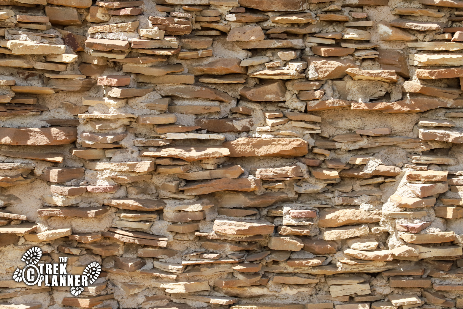
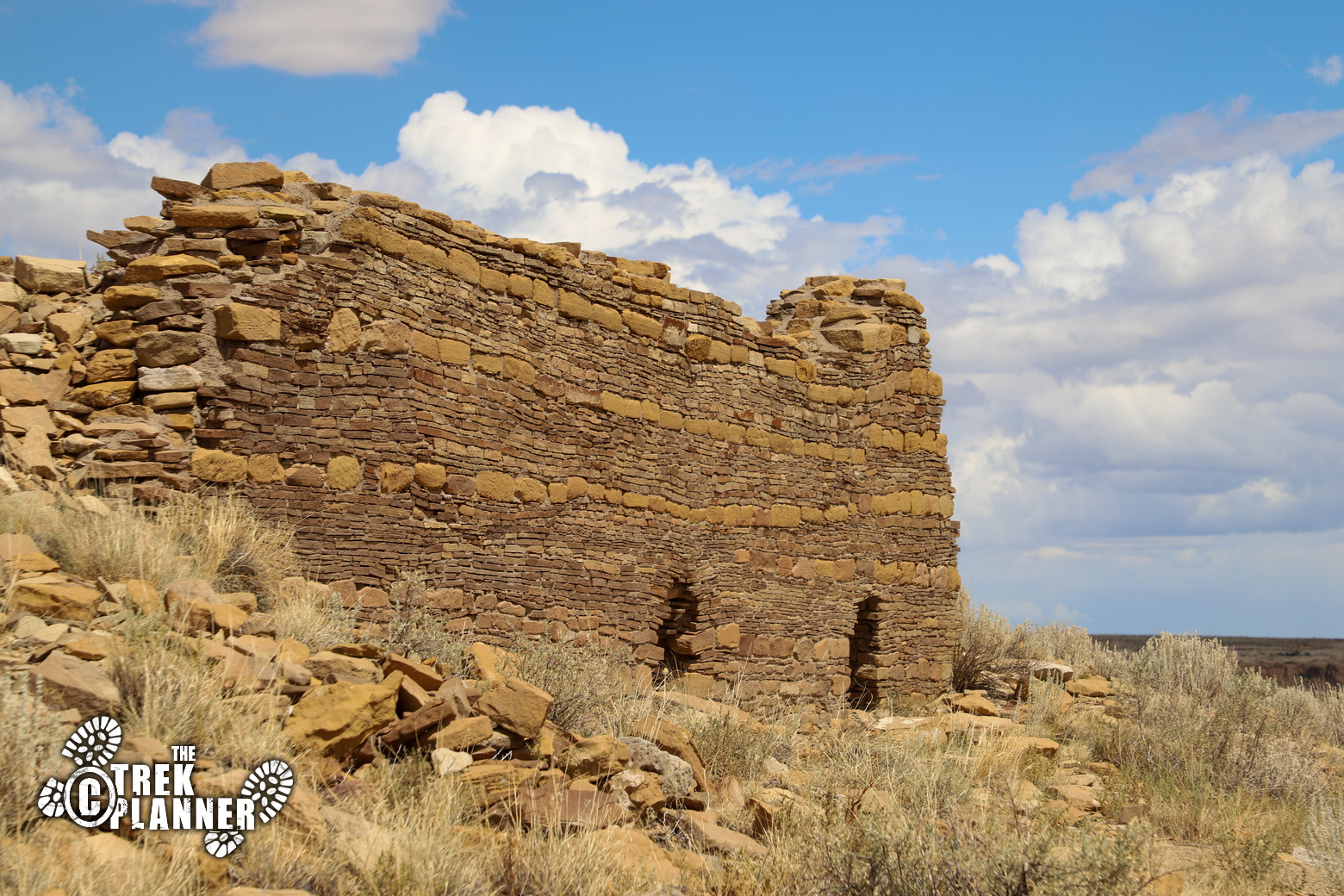
This is a very large ancestral Puebloan area and sadly, over time, the ruins have been destroyed by the weather and looters. This is a fun area to explore and you will see some more amazing examples of Chacoan masonry.


Personal Thoughts
This is a long but not terribly difficult hike. You will see many examples of Chacoan building techniques and rock art! Even though I was already tired from hiking 15+ miles the day before, I was not leaving Chaco Canyon without seeing the Supernova Pictograph. If you are up for a long hike then it will be worth it to see the ruins and famous pictograph!
Nice pictures that accurately represent that hike and the many things to see along the way. We went in September and passed one other couple the entire time. People complain about the lengthy and rutted drive to Chaco but I feel that’s what makes it unique and not a drive by opportunity. Thanks for sharing!
I really appreciate your comment! I’m glad you had the entire hike almost to yourselves! Chaco is a special place and I agree that the rutted drive to Chaco makes it unique and sets you up for the amazing things you will see soon.
Helo, good morning.
Hello Enrique, yes! You may use our pictures from this post. Thank you for adding attribution
Hello, I found your site while researching supernova 1054 AD and Pueblo culture, thought I should give a 👋