The Trek Details
The Trek in a snapshot
At the entrance to Grand Wash Canyon, Capitol Reef National Park, Utah
Capitol Reef National Park
Not allowed
There are entrance fees into this part of Capitol Reef
Closest bathrooms are at the campground or at the Cassidy Arch and Grand Wash trailheads.
Not allowed
Good dirt trail
5 uranium mines and some structure foundations
Pack in your own water. Do NOT drink any water that is in this area as it may be contaminated from the uranium
All
About 1/4 mile roundtrip
Less than 15 minutes
5547 ft
Varies slightly
Varies slightly

Parking Area: 38.25818, -111.23161
Miner’s Cabin or Shed: 38.25864, -111.23195
Mine 1: 38.25904, -111.23157
Mine 2: 38.25906, -111.23165
Mine 3: 38.2595, -111.23296
Mine 4: 38.25955, -111.23318
Mine 5: 38.25941, -111.23337

The Trail
Follow along on our adventure then go out on your own!


Note: these mines and the mine tailings are still radioactive!
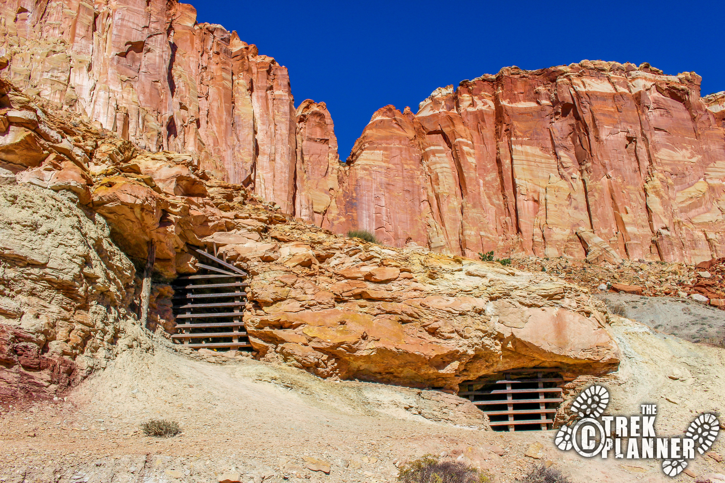
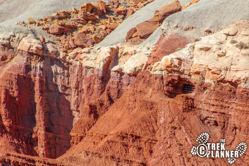
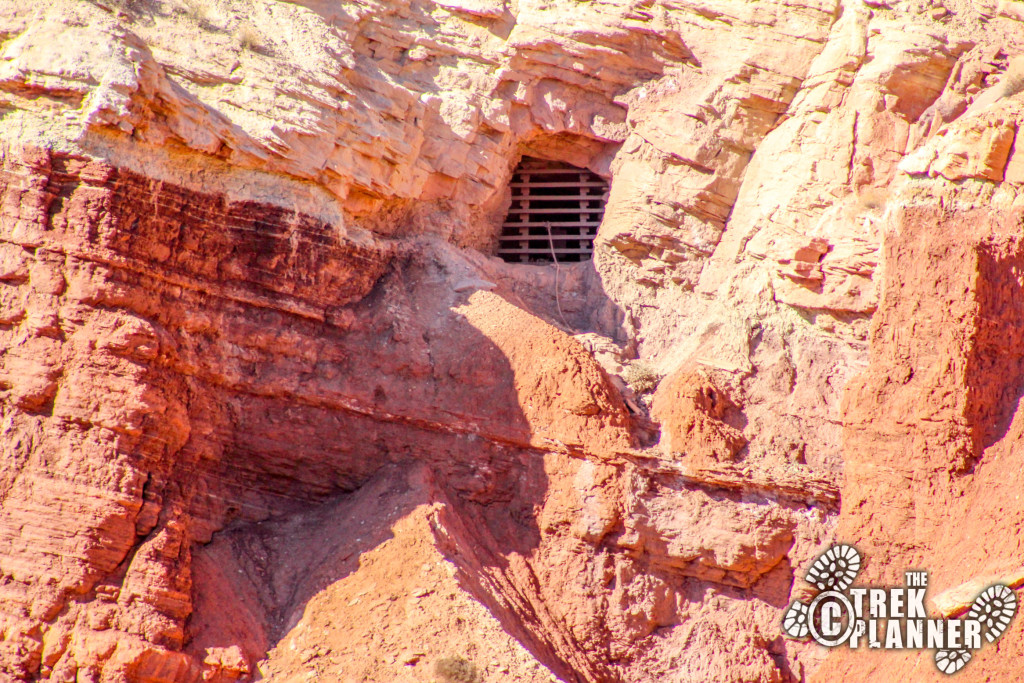
I found a very interesting article on the history of the Oyler Mine located at the mouth of Grand Wash Canyon in Capitol Reef National Park. Claims were filed in 1901 by Thomas Pritchett and H.J. McLellan as the Nightingale Claim. They were looking for gold and silver even though gold wasn’t found at all in the sandstone rock. In 1904 John Sumner and Thomas Nixon claimed the site. They dug two adits which were just under 110 ft long. These two adits are the two lower ones you can see just above the wash. John Sumner died in 1907 and Thomas Nixon kept the mine claim until 1911 when he sold it to two other men. The men forgot to do the yearly required work on the claim so eventually Michael V. Oyler got the mine in 1913. After him, more people claimed the mining area and did work on the mines.
As a side note, one of our very own Trek Planner admins is distantly related to Michael V. Oyler!
For further interesting reading on the mines and even some really cool pictures click here.
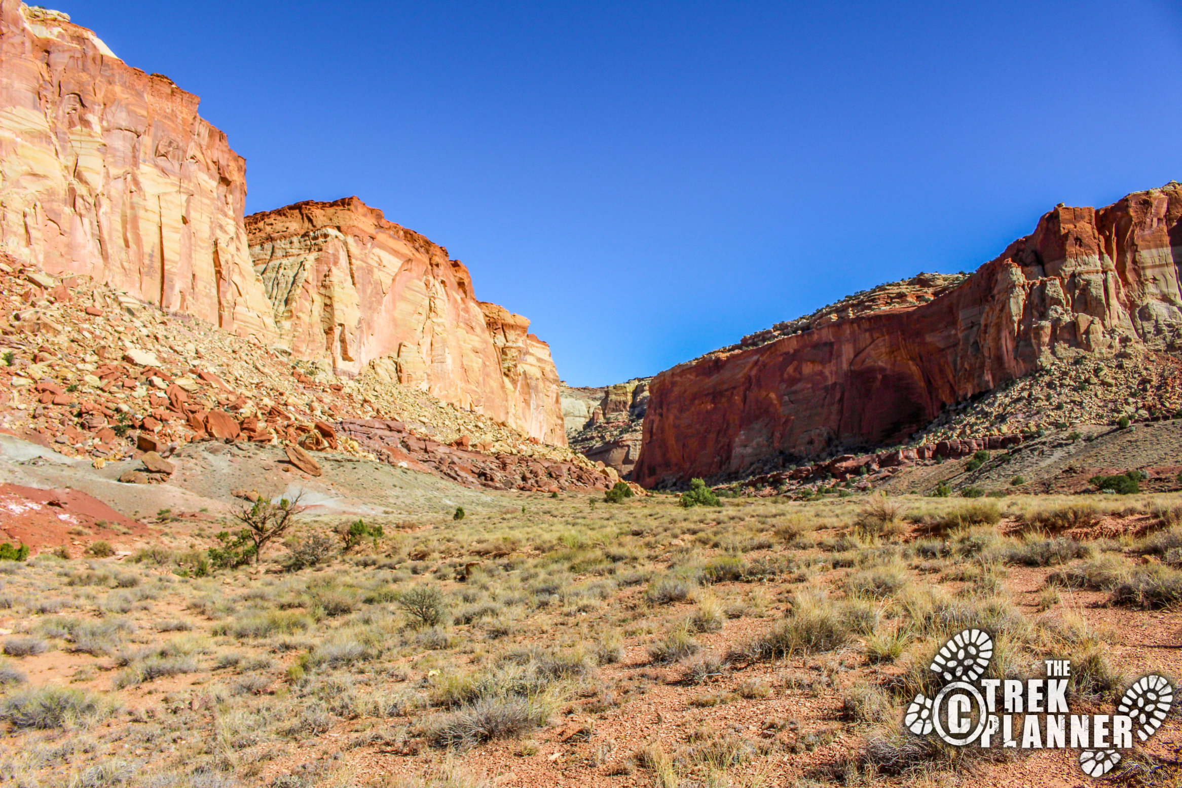
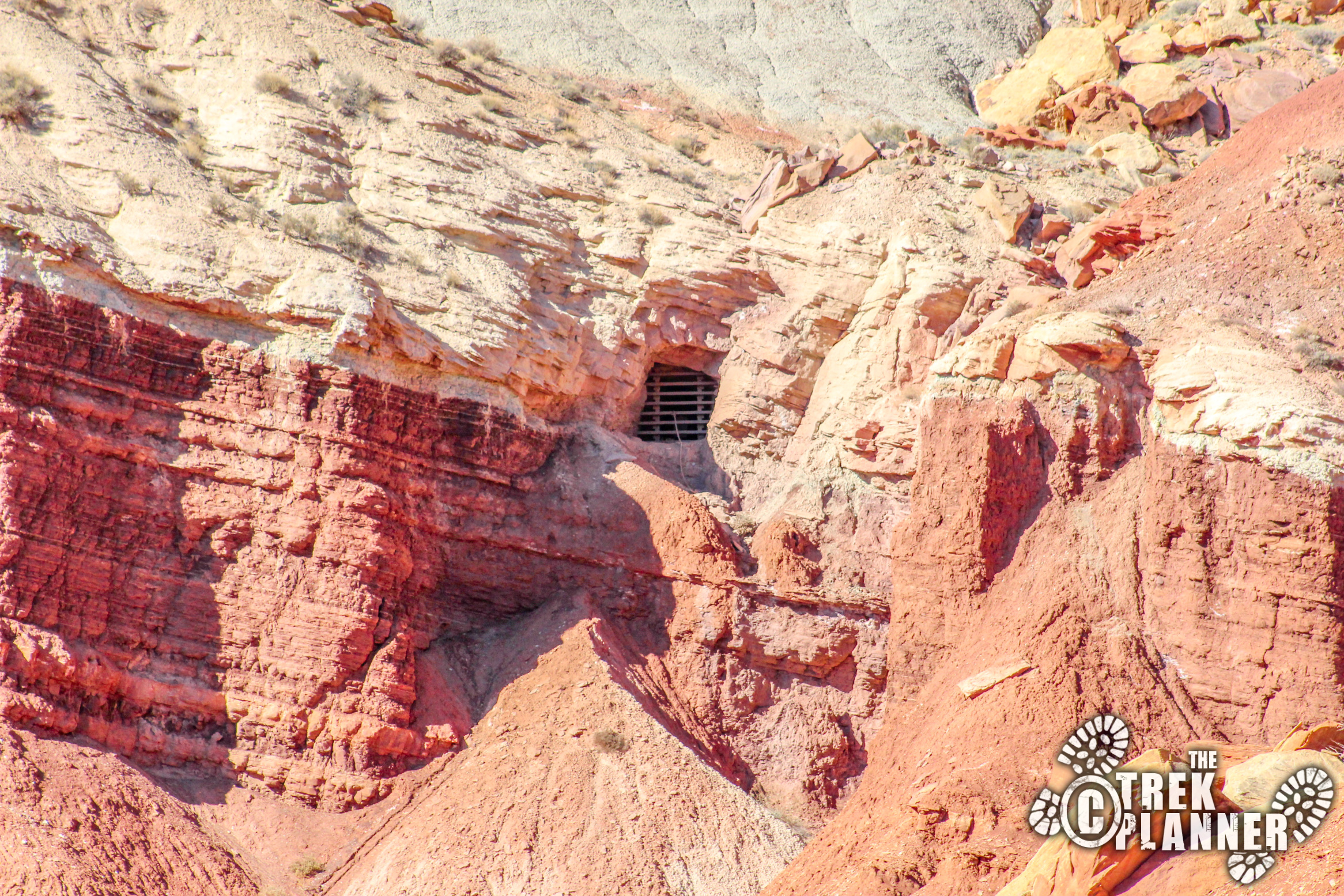
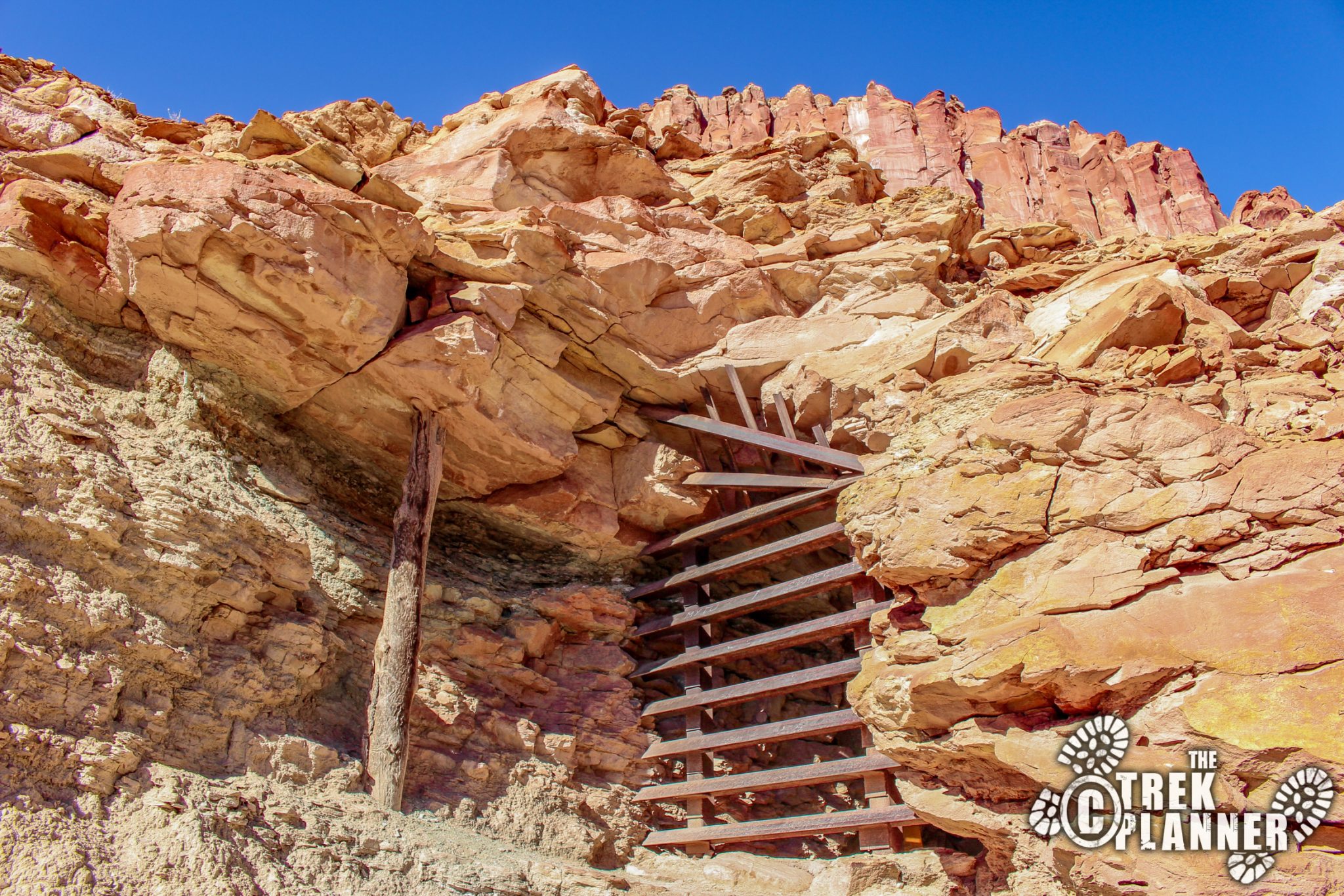
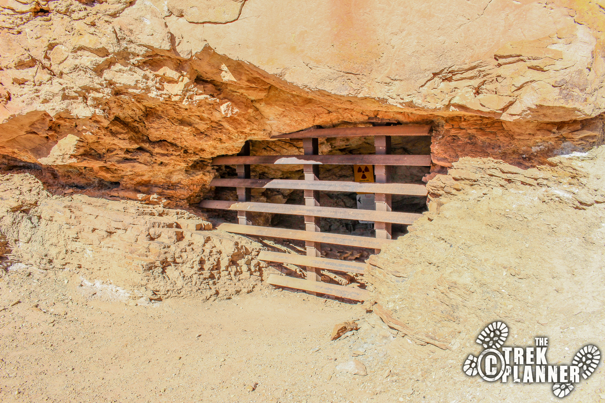
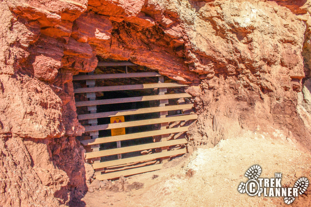
Since the mines are located on National Park land they have since been gated and closed. I found an article from the Deseret News stating that the Division of Oil, Gas and mining paid a contractor $15,000 to close the 5 uranium mine adits (plus one additional opening) and install bat gates. This was all done back in the summer of 1993.
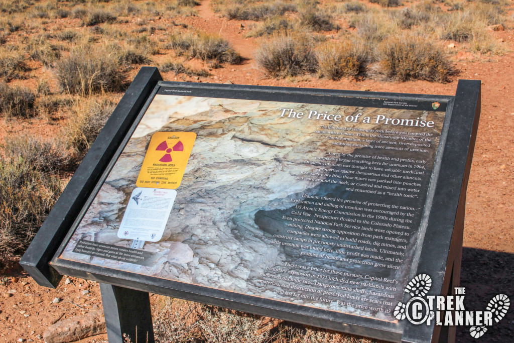
To see the uranium mines all you need to do is stop at the pull-out at the mouth of the Grand Wash Canyon road. You will see a sign there that explains the purpose of uranium mining here. Back then people thought uranium had medicinal qualities to cure rheumatism and so they would mix it with water and drink or worn in packets – weird! Or it was of course used for bombs beginning around the WWII time frame.
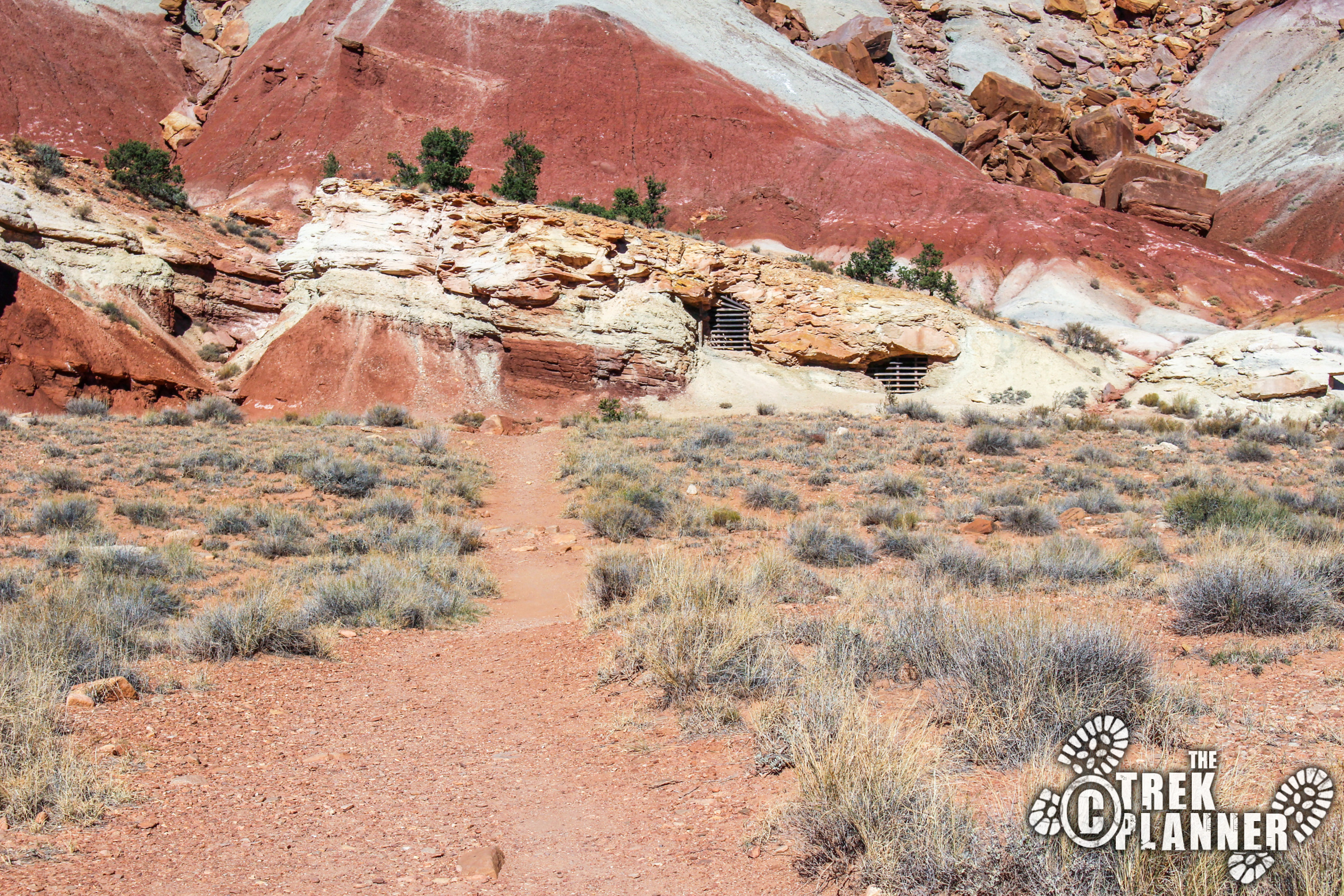
It is a short walk to the first two mines located just above the Grand Wash. If you walk up to them you will quickly notice the yellow sign saying don’t drink the water and to not camp or stay in the area too long due to contamination. Uranium was indeed found here and more than likely it can still be found in some of the tailings from these mines. It’s best to just look at the mines and not dig around in the tailings. All 5 of the mines are sealed with bricks and foam so even if you somehow got inside the bat gates you won’t make it more than 20 feet.
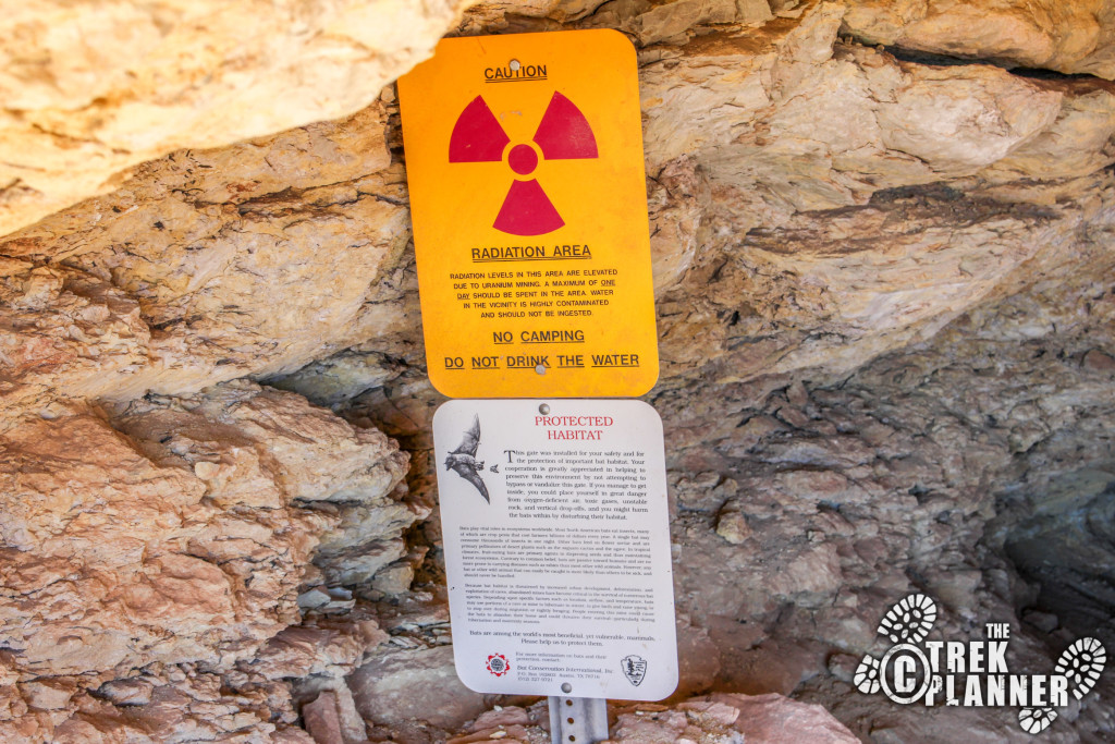
The sign says “Radiation area. Radiation levels in this area are elevated due to uranium mining. A maximum of one day should be spent in the area. Water in the vicinity is highly contaminated and should not be ingested. No camping. Do not drink the water” It goes on to speak about the bats that use the entrances to these mines as roosts (which explains the bat gates).
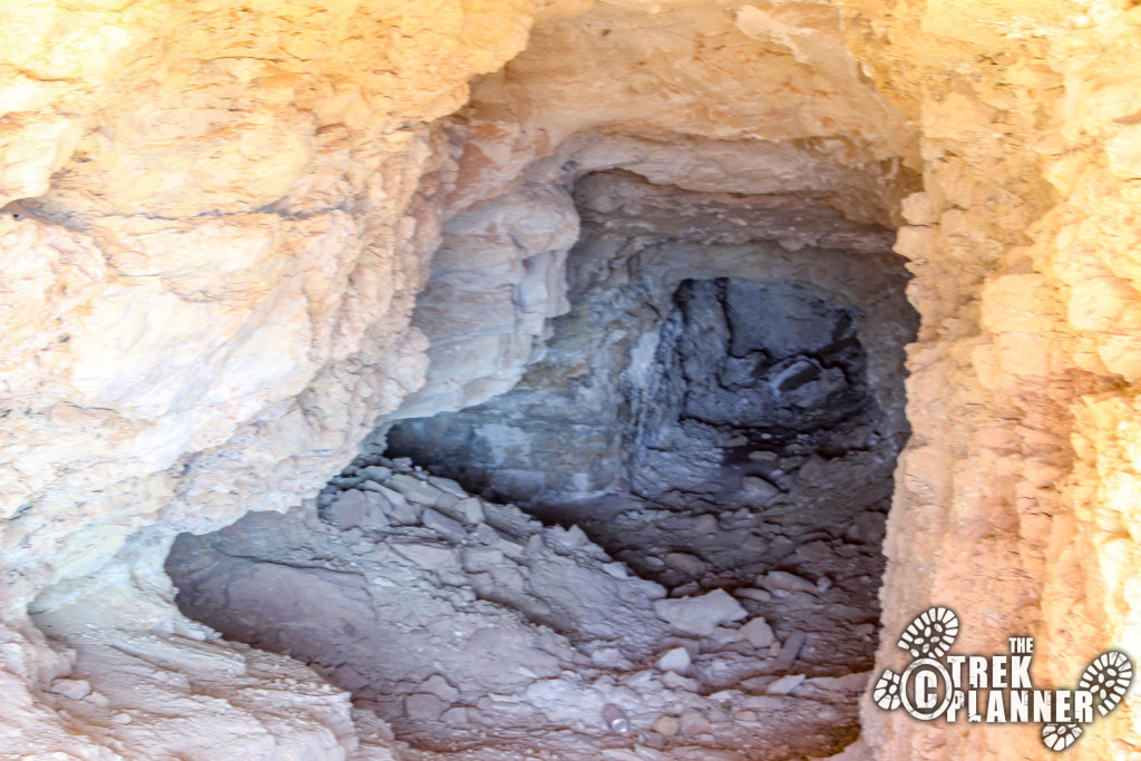

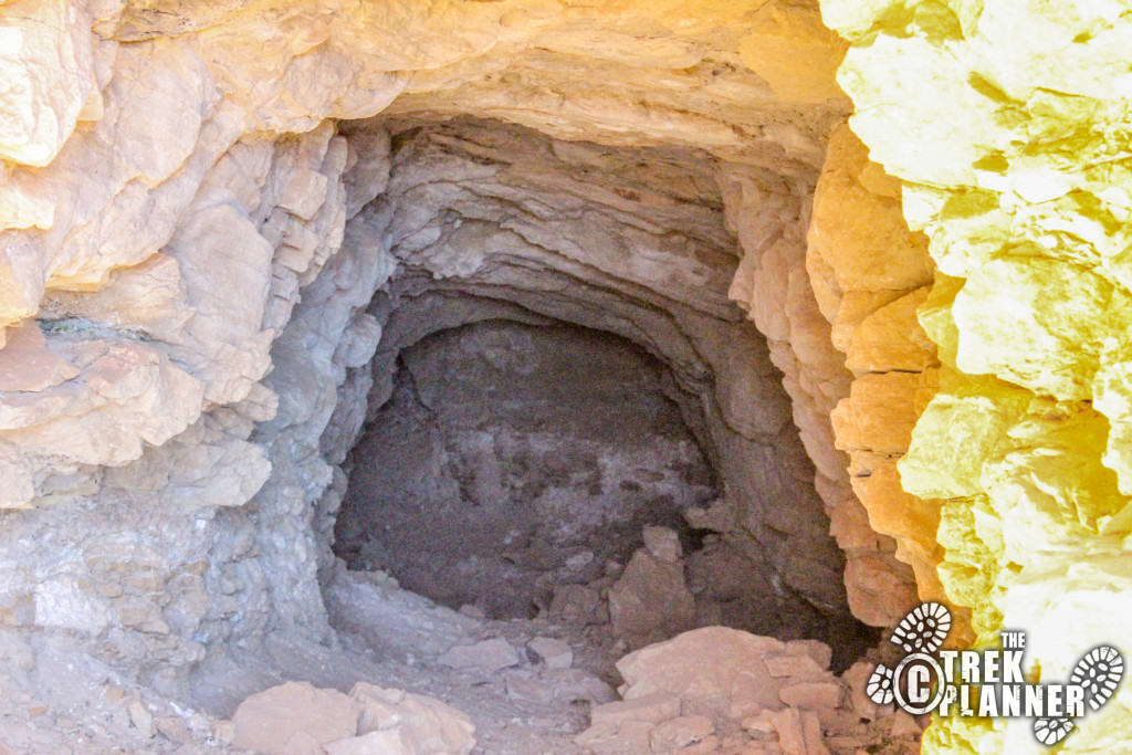
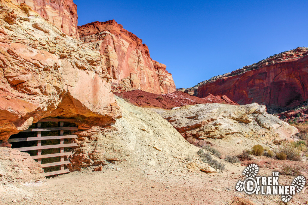
From here you can check out the small rock foundation for a cabin or some type of shed or rock structure that apparently was never finished according to the historical article I referenced above.
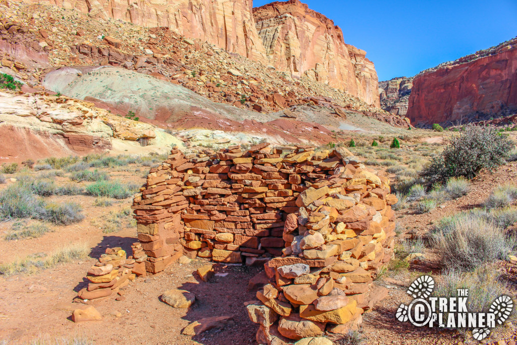
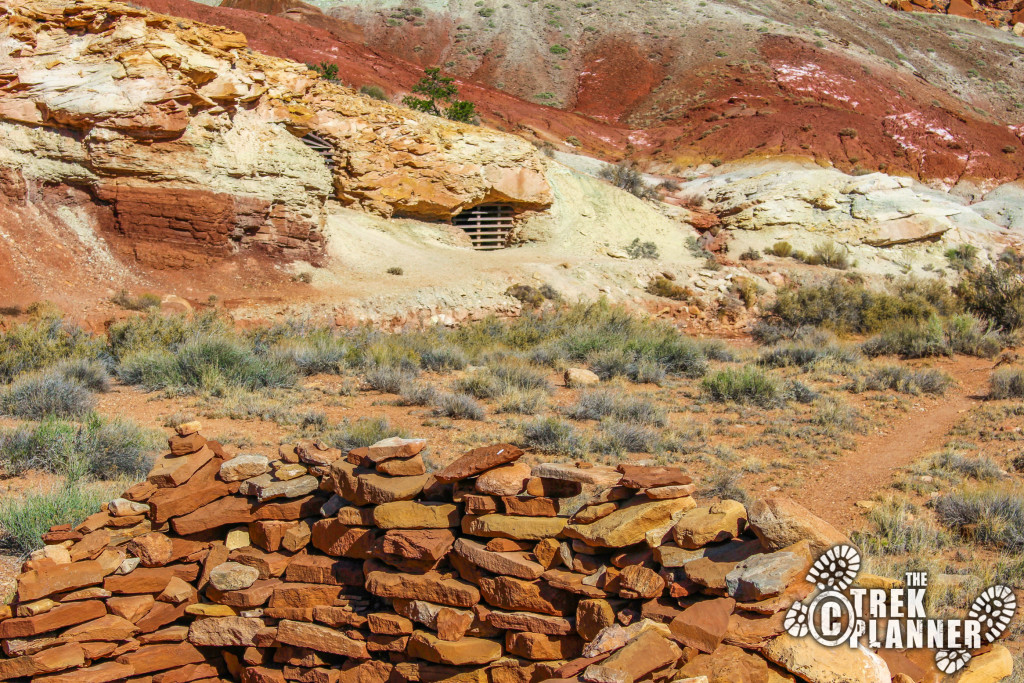
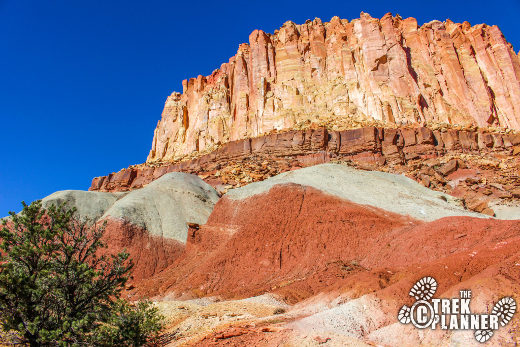
The other three mines are located to the left of the first two. You can see the yellowish rock layer called Shinarump, that the miners were working in. Apparently this layer is where uranium can be found. The hike to the other 3 mines is also short but steeper and it is more of the same: closed and gated. But it is still neat to check out if you have the time.
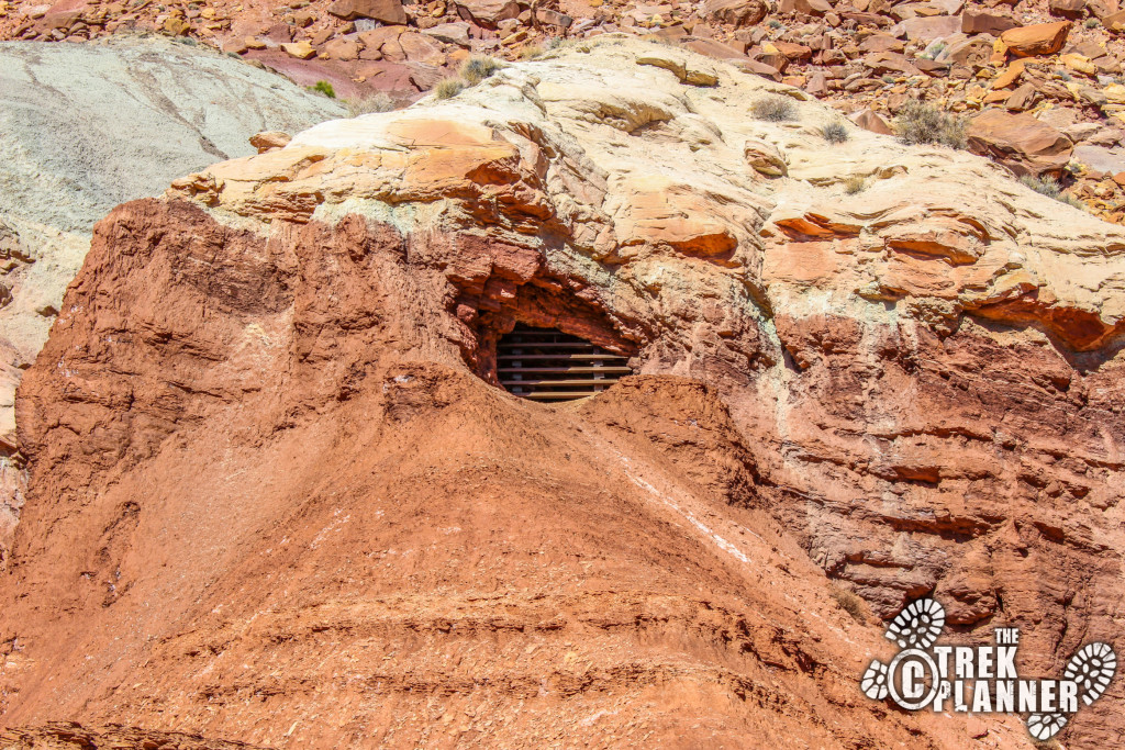
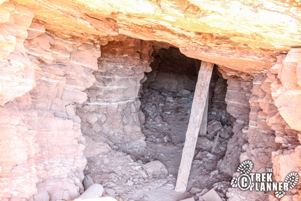

Personal Thoughts
Even though these mines are gated and sealed they are still neat to see. I probably spent about 20 minutes seeing all the mines so it isn't a time consuming stop but it added a thin layer of mining history to my Capitol Reef trip that I quite enjoyed.