
The Trek in a snapshot

Trek Planner Maps
Trailhead: 40.992642°, -111.880482°
Old Aqueduct Artifacts: 40.998588°, -111.875976°
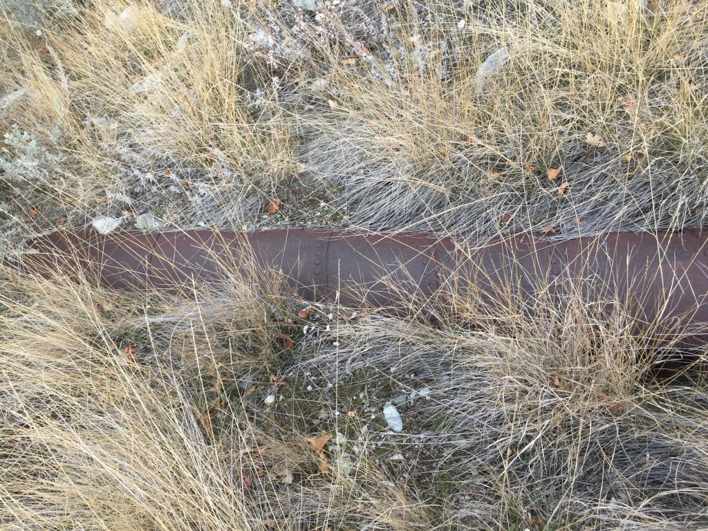
Aqueduct Pipes: 41.000086°, -111.878716°

Experience. Discover. Explore.
Follow along on our adventure then go out on your own!


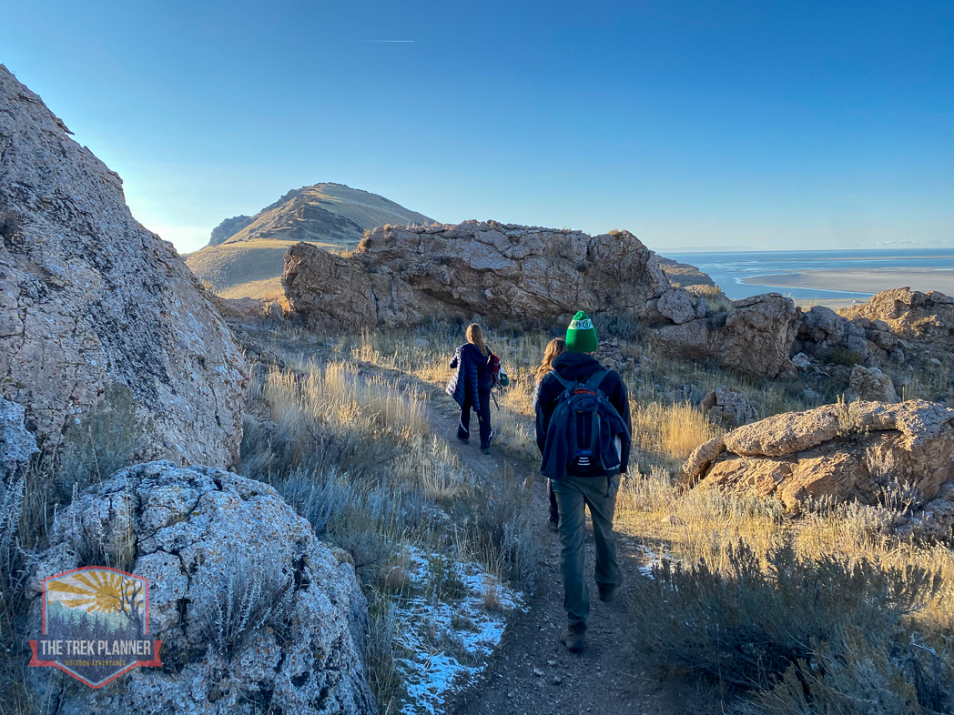
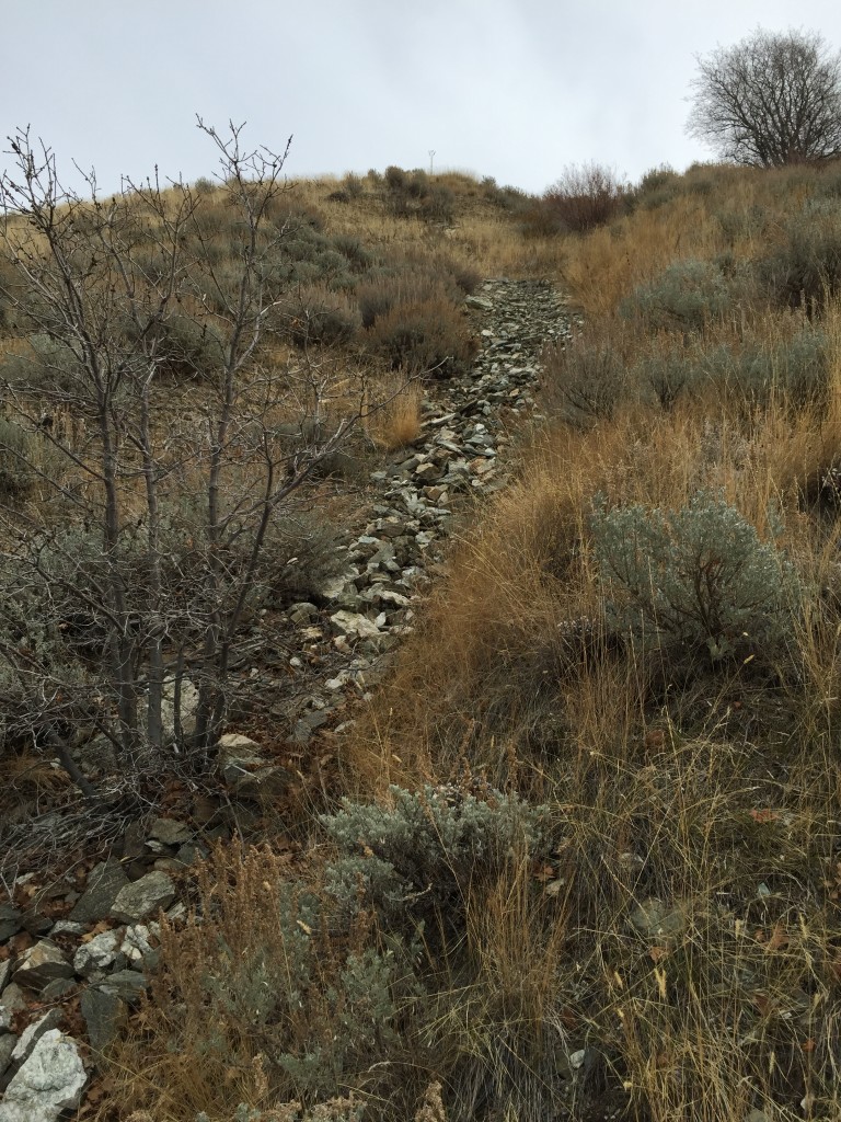
The trail starts on the Bonneville Shoreline Trail at the same location as Rudd Creek. The trail is steep and gains elevation quickly and you will see that not many people go on this trail.
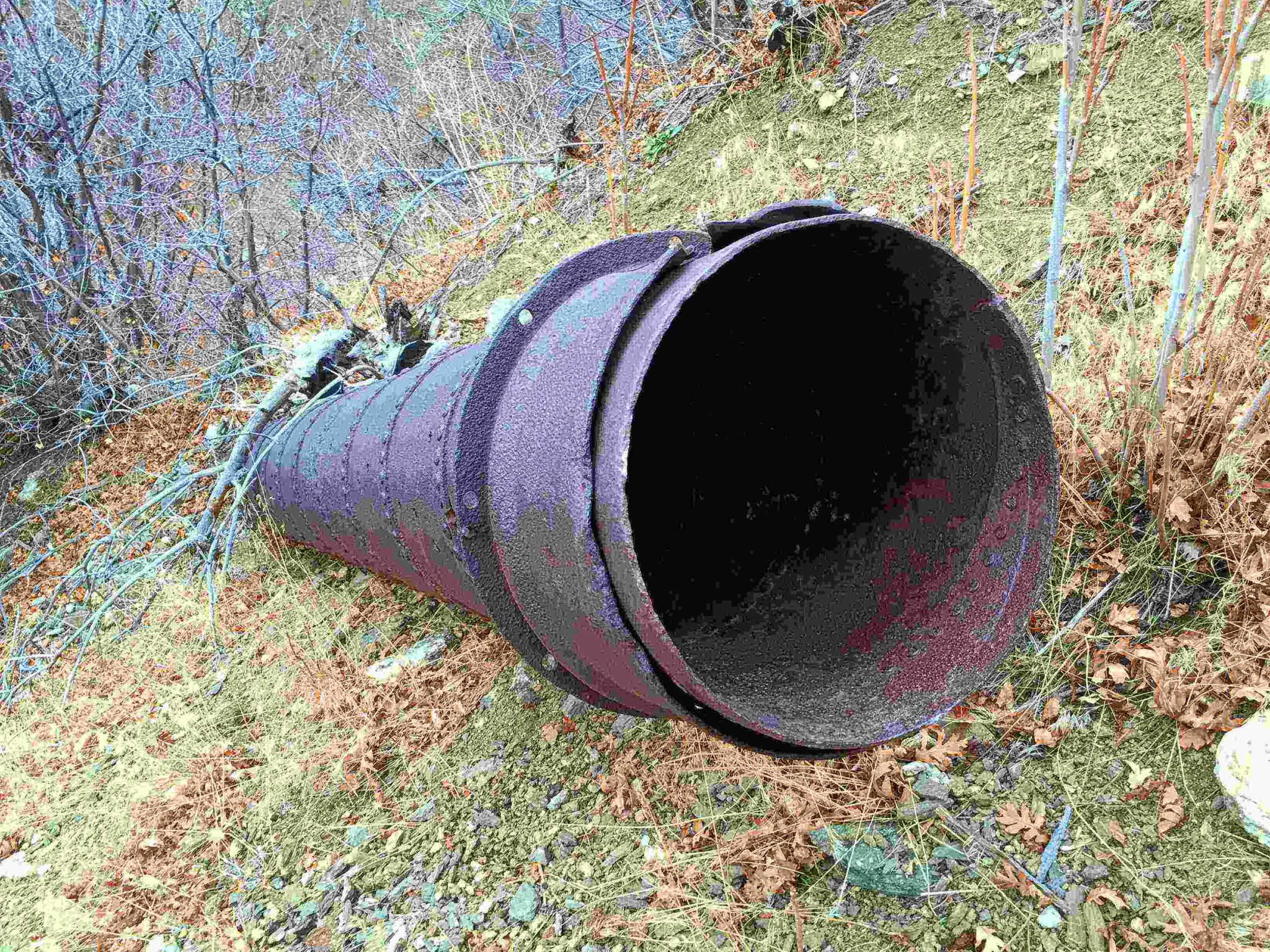
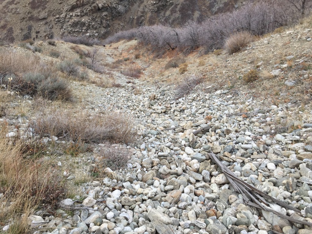
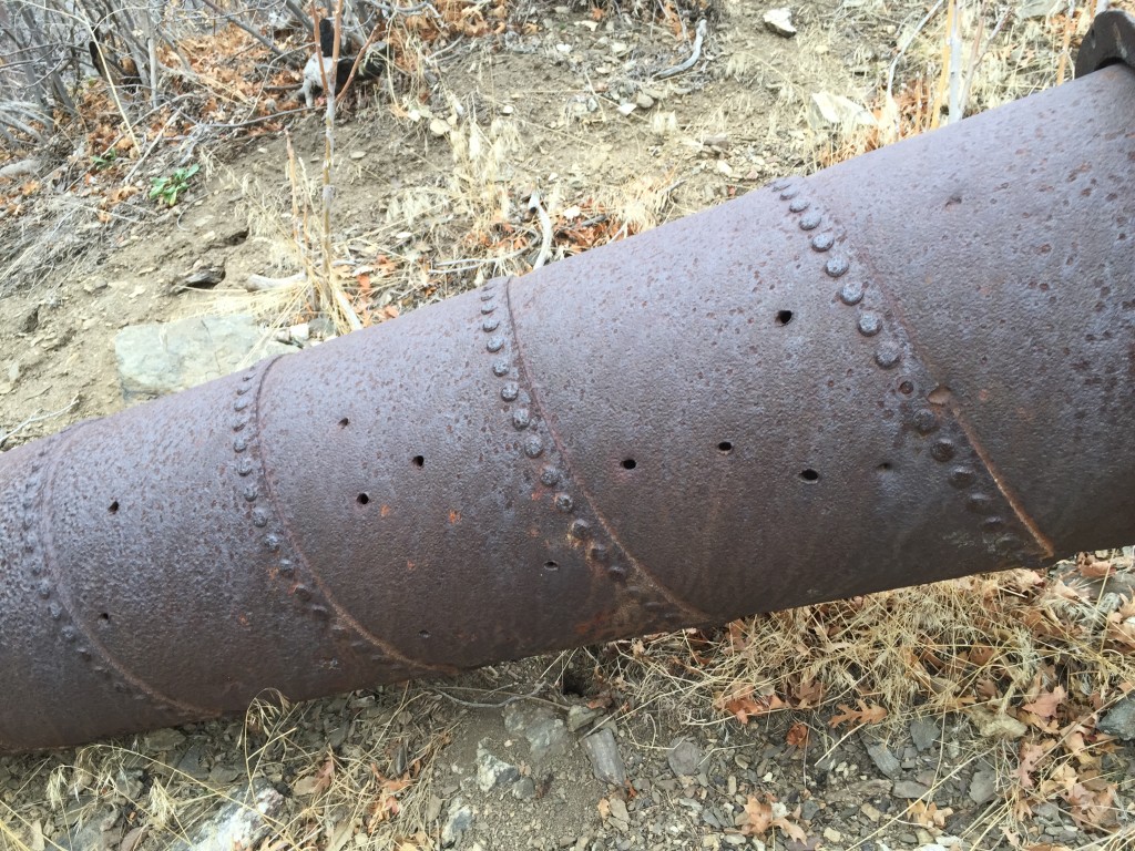
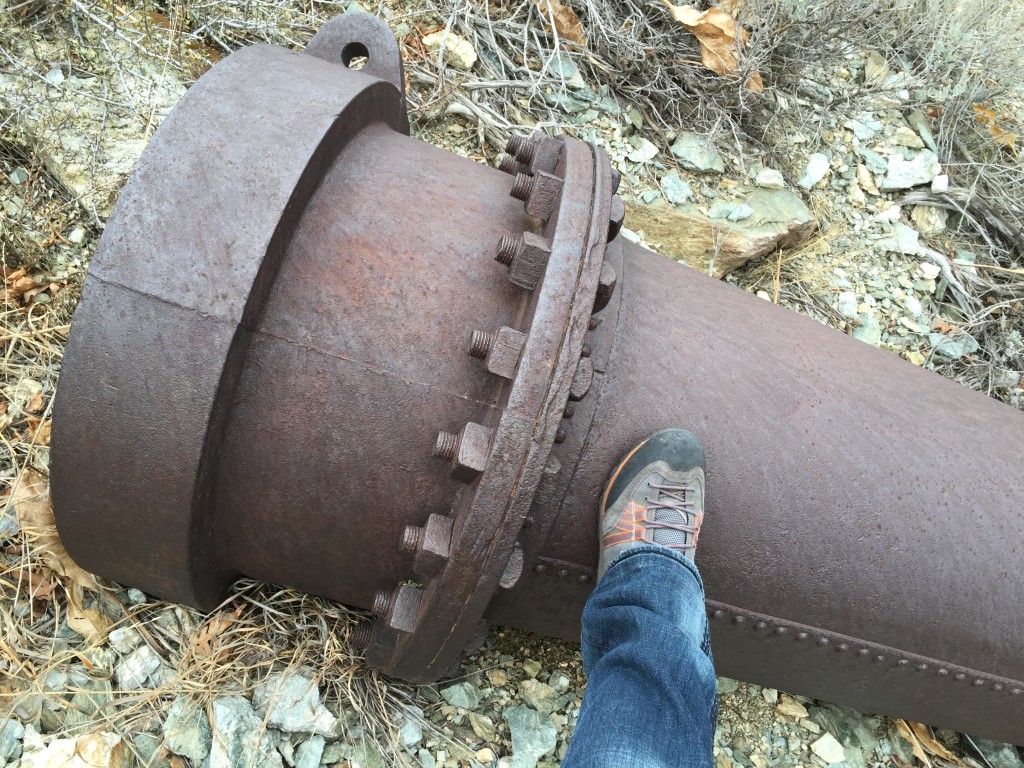
You will need to hike about .70 miles until you come to the first area with the pipe artifacts (GPS Coordinate: Old Aqueduct Artifacts). You will see lots of river rocks, old wood and the iron pipes used to transport the water. It is an incredible feat considering just how large and heavy these pipes were.
I have not hiked the entire trail to where the headgate is located because the trail is very narrow and disappears at times. I simply just hiked up to where I could see the old pipes and see if I could find any other neat things.
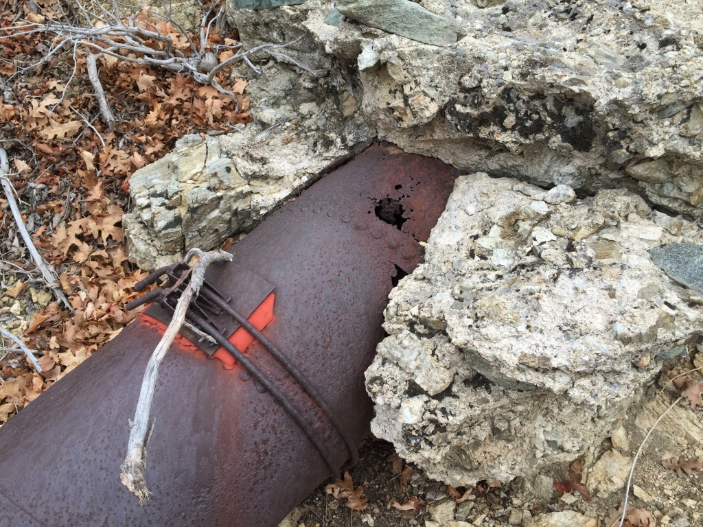
You can see just how many rocks came with all the water through the pipes. I bet they had clogging problems every now and then.
Some of the pipes are still buried but the ones that aren’t you can see that vandals have shot them or destroyed them further.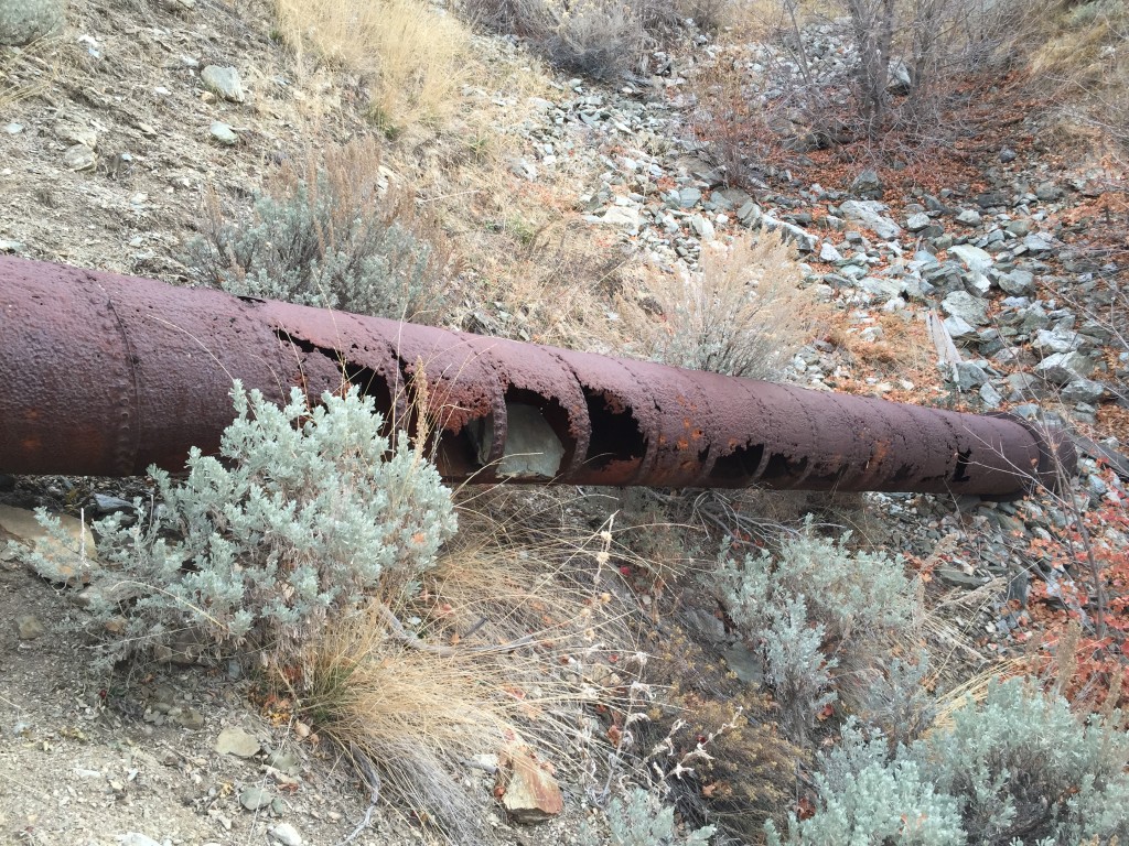
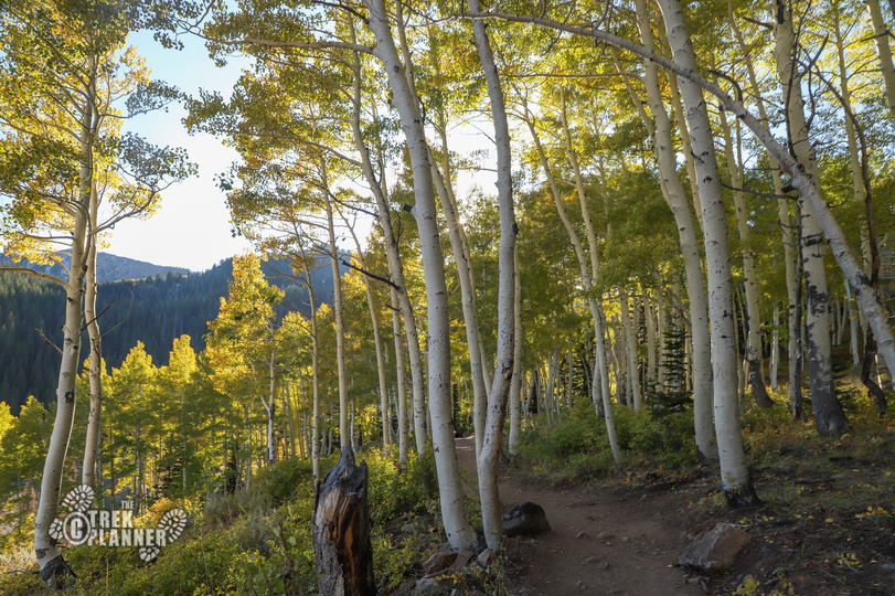
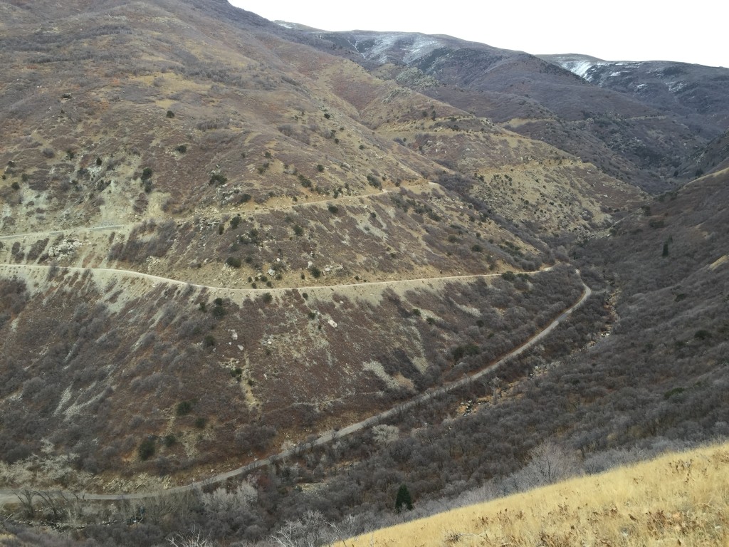
The views were pretty impressive even for late winter day. It is quite incredible to see just how much work went into this aqueduct.

Personal Thoughts
The aqueduct was an important part of Farmington's early history. Of course, it is not being used any more but if you want to see something different then come hike to the aqueduct.