The Trek in a snapshot
Location
Comb Ridge area, Utah
Managing Agency
BLM
Pets
Allowed
Fees
None
Restrooms
None
Camping
Allowed at trailhead in parking area. Please clean up your camp when finished
Trail Condition
Good dirt trail that is sometimes hard to see. Cairns mark the path in some spots. Ruins aren’t always apparent. If you are hiking to the cave, there isn’t a set trail. May need to bushwhack a bit
Sights
Many different ruins
Water Info
Bring 2-3 liters of water
Best Season
All. Summer is OK, but very hot
Distance
About 4 miles roundtrip to see the cave ruins
Time Required
2-3 hours
Parking Elevation
4811 ft
Summit Elevation
4929 ft
Elevation Difference
118 ft

Trek Planner Maps
Trail Map is for Trek Planner Insiders only
This content is locked
(memberships are currently unavailable)
GPS Coordinates are for Trek Planner Insiders only
(memberships are currently unavailable)This content is locked

Experience. Discover. Explore.
Follow along on our adventure then go out on your own!


Note: Trek Planner Insider Members will have access to the Trial Map and 11 GPS coordinates in this Trek including Zinii Cave
You don’t need 4-wheel drive to get to the trailhead, but it wouldn’t hurt. If there were recent rain or snow then it would make this road more difficult. The road is dirt and sand and if you have a low clearance vehicle you could make it to the trailhead, but just be careful as you may high-center your vehicle if you aren’t aware of the driving conditions.
Lower Mule Canyon features many different sets of ancient ruins on the western side of Comb Ridge. The best of these ruins is located near the parking area and you could easily visit them in less than 15 minutes. There are other hidden treasures just beyond these that are worth the extra time and energy. The entire adventure to Lower Mule Canyon took me less than 2 hours. I spent most of my time exploring by drone and taking pictures, so even if you are pressed for time, you could do everything in this trek in less than 1 1/2 hr. There is something to be said for spending more time near these amazing ancient structures. I feel more connected with nature when I sit down and take in the sounds and the scenery and just enjoy what is right in front of me.
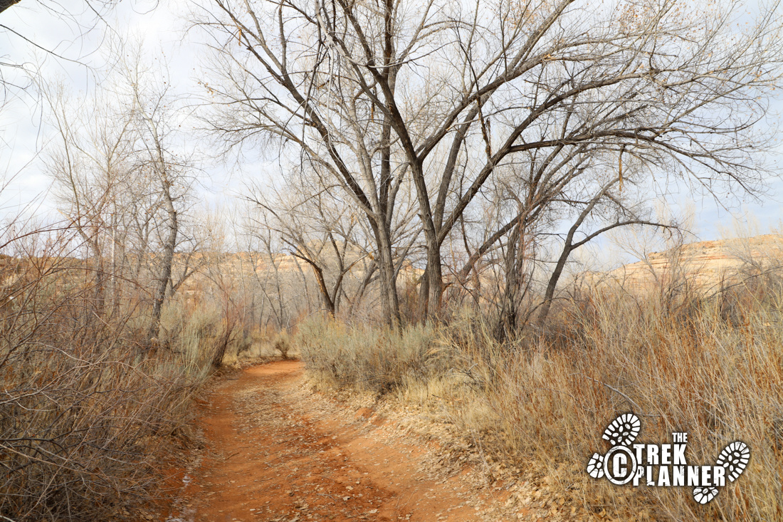
The trailhead is very big and can fit lots of vehicles including trailers. When I visited, there was only one other vehicle. You begin next to old tall cottonwood trees in a wash. At this time, the wash had a little bit of water in it from recent snow melt. I never needed to get in the wash, but easily crossed over using some boulders. The trail winds around in the wash for a bit until it comes to a clearing. From here, I followed a narrow trail up a small hill to where cairns pointed me to a granary. This is the first set of ruins on this hike.
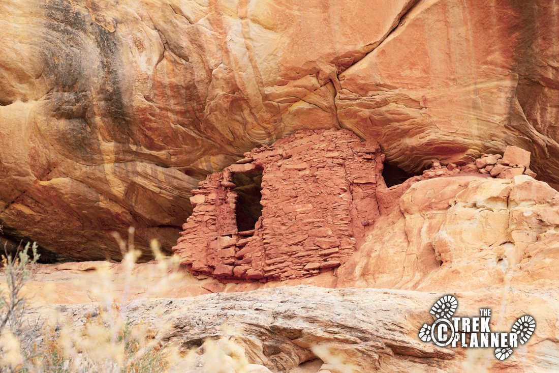
The granary is in excellent condition and fits perfectly in a small crevice on a ledge. Please be respectful of the ruins and do not touch or enter them. Just enjoy them from a distance and take all the pictures you like.
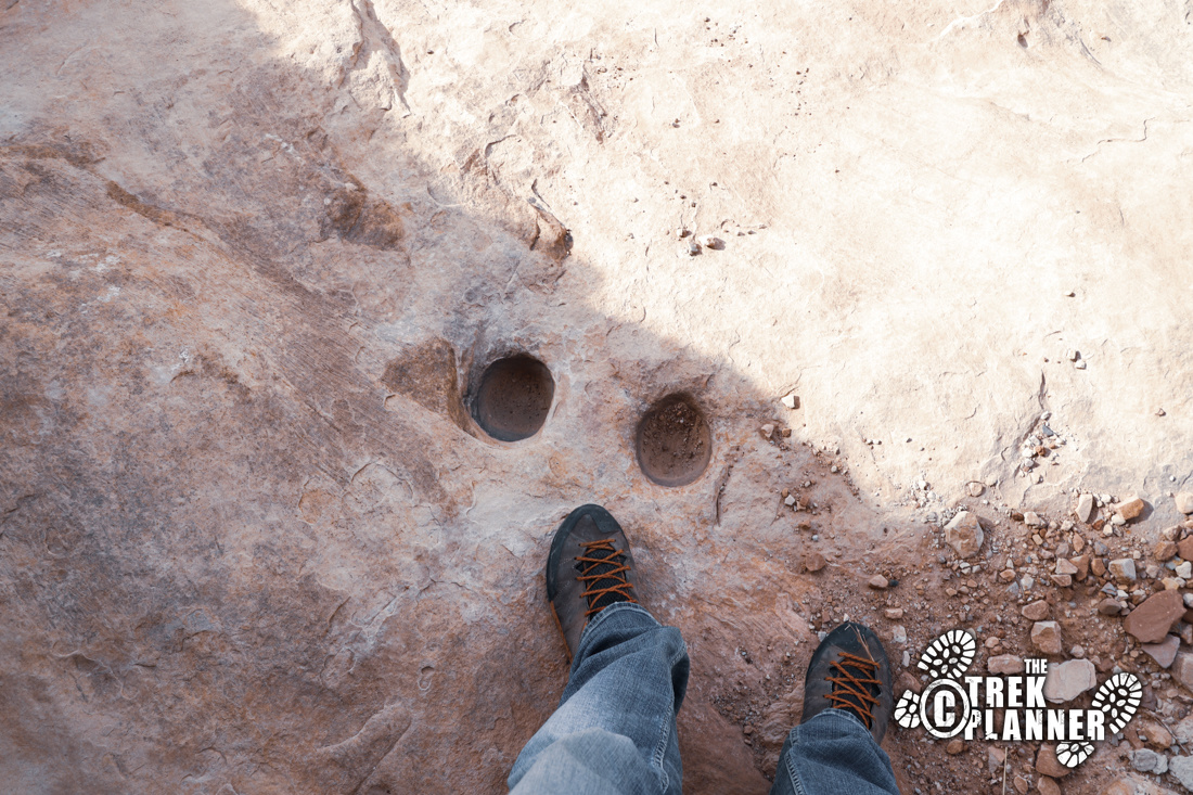
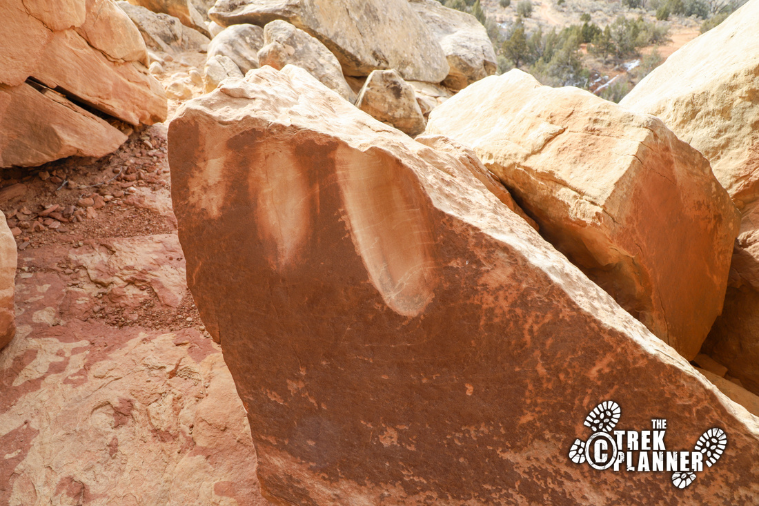
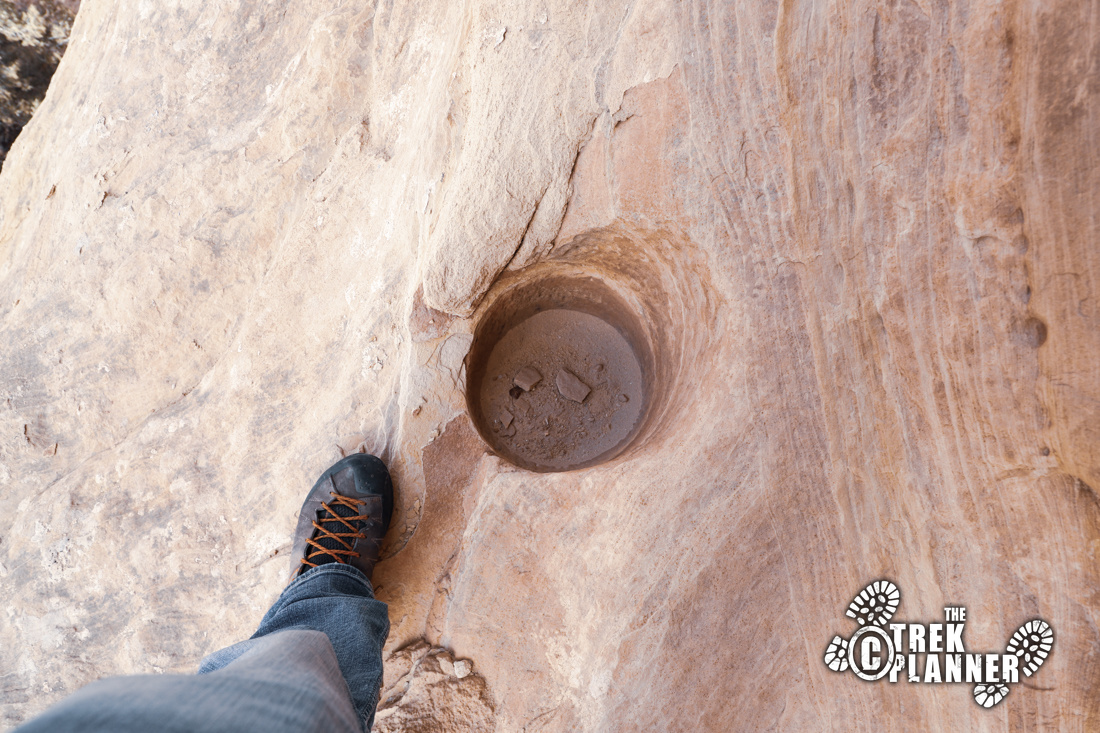
You can see the rest of the ruins from below, but there is a nice inclined path to get closer. There are a few Moki Steps, or steps that were carved to gain access to areas high up. I chose to go up on a slanted sandstone rockface that didn’t take much effort. If you get closer, you can see three sets of ruins, petroglyphs, hand carved potholes, and even some metate (flat stone used for grinding grain). It doesn’t really look like metate since these are on a vertical surface, but it still could have been used for grinding in some way.
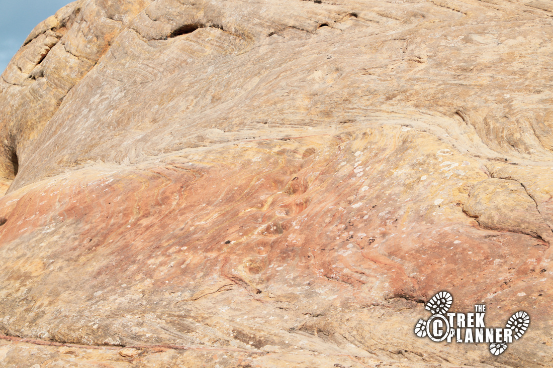
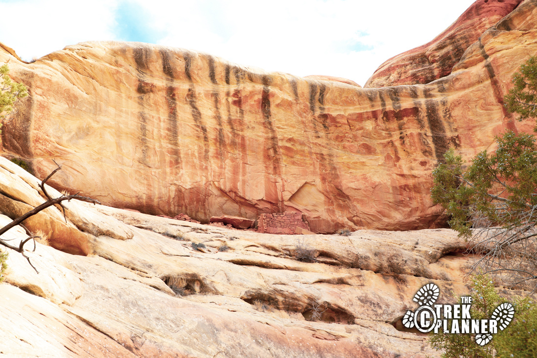
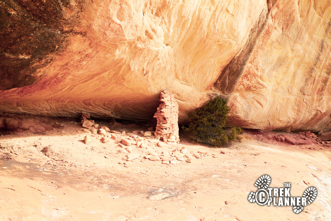
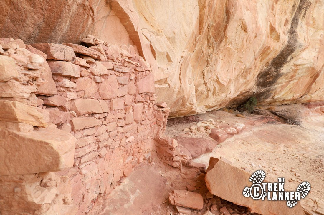
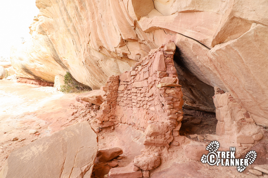
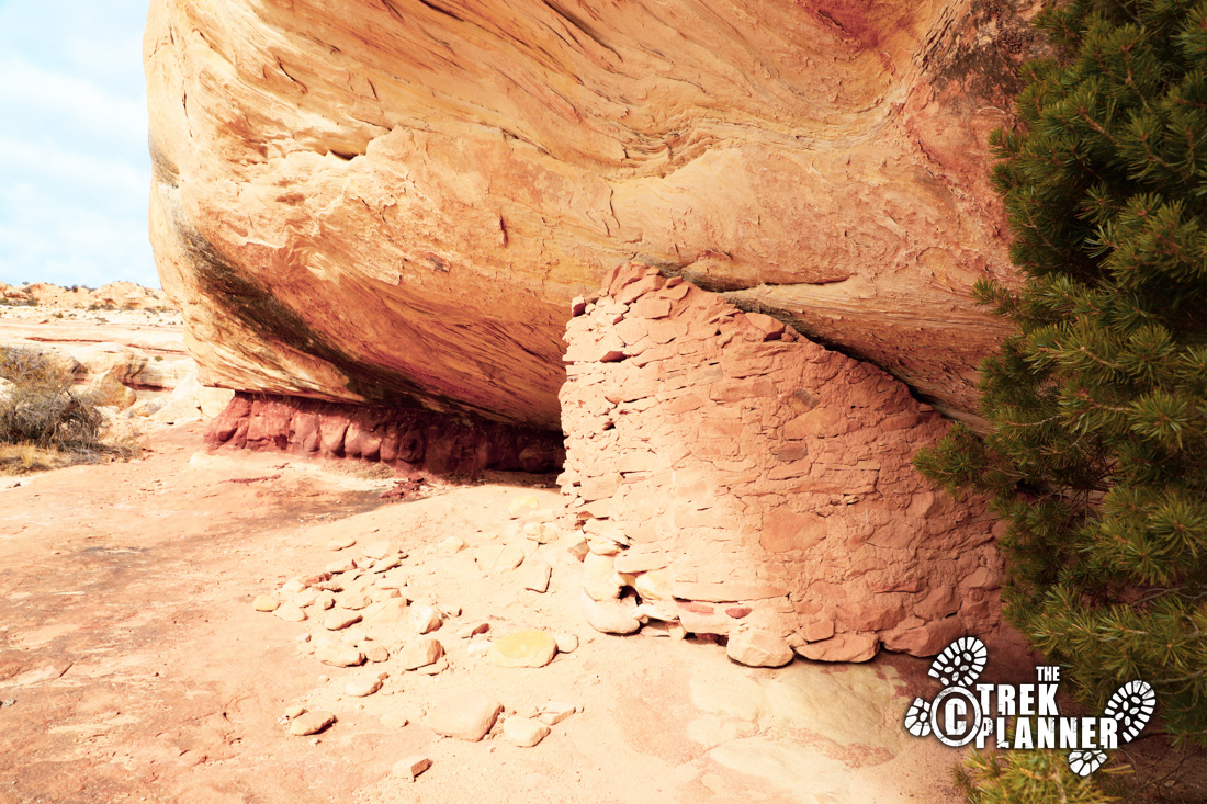
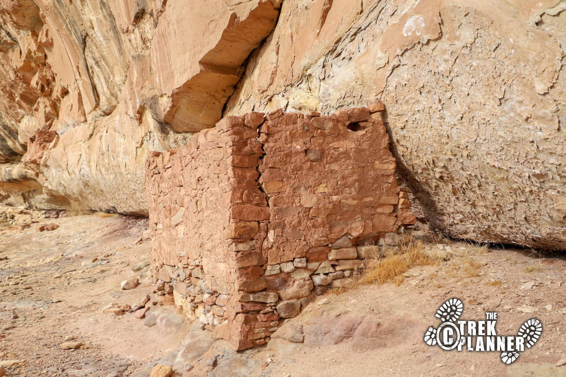
The first two sets of ruins are now just a few walls right up against the rock. These appeared to be more substantial, but over the last hundreds of years have crumbled.
The trail now heads north. Make sure you look at the walls for petroglyphs. There aren’t many petroglyphs, but these can be seen next to the metate. Also, scan the ground for hand carved pot holes. It’s not clear what these were for. I think some of them were used to catch rain or holes for ladder poles.
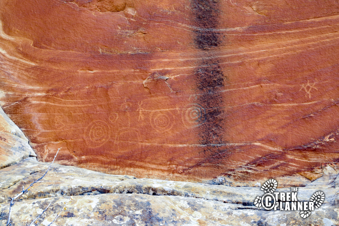
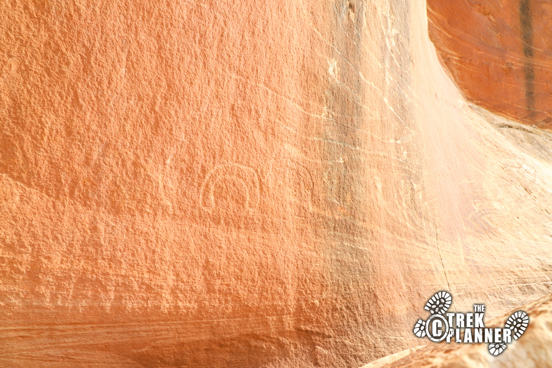
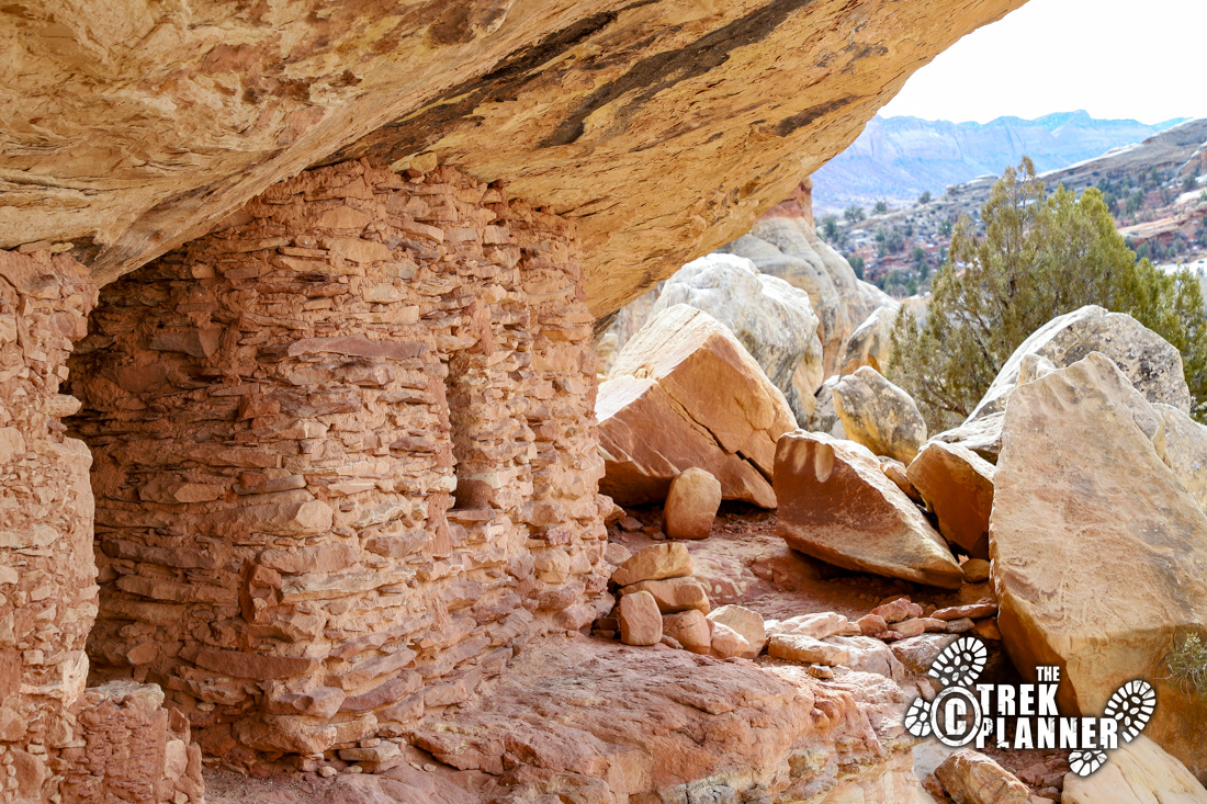
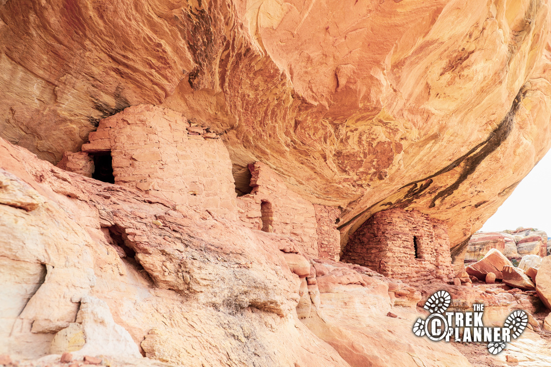
The largest and best set of ruins are located a few steps from the petroglyphs. There are multiple structures that are still in great condition! Pay close attention to how these were constructed. It looks like carefully placed and carved rocks were stacked, followed by a layer of smaller rocks in between a type of mortar. This ingenious design has kept the structures in this great condition for hundreds of years. Of course, they’ve had natural protection being under this rock ledge too.
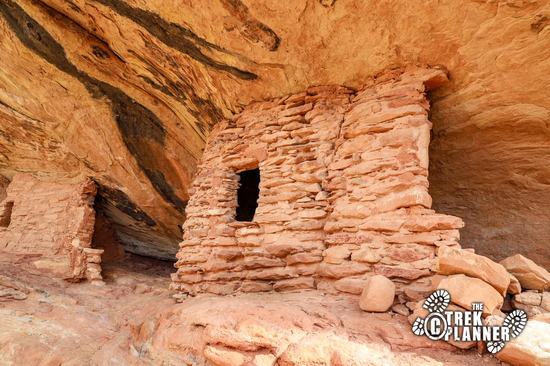
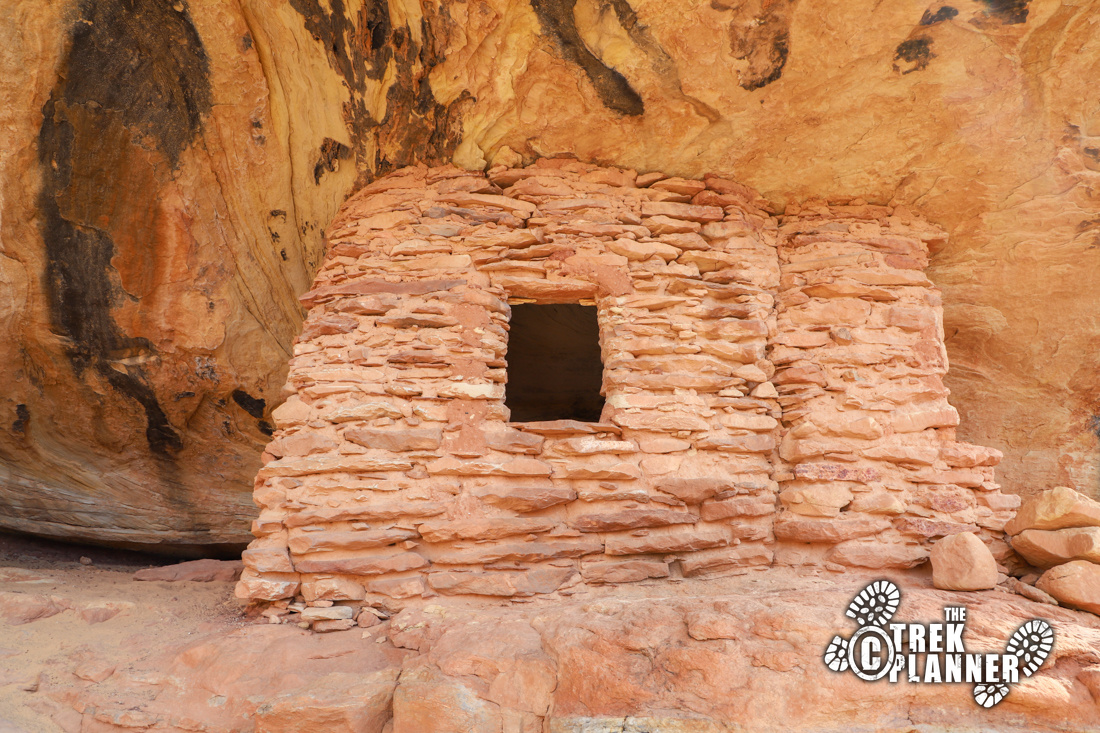
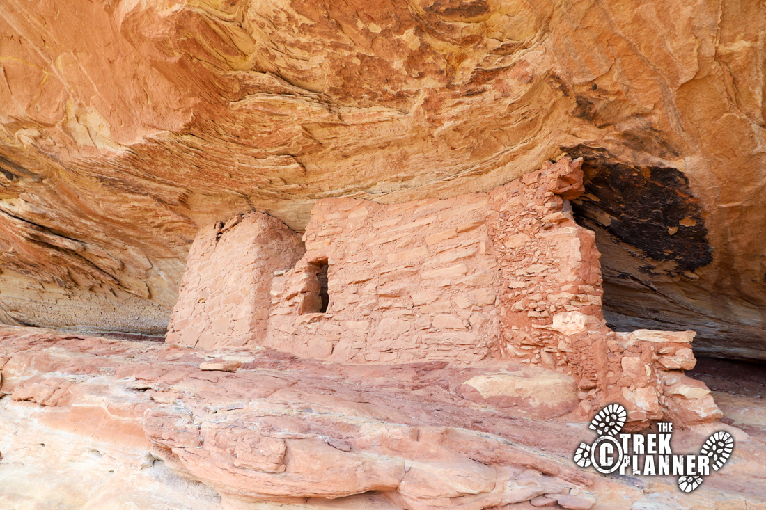
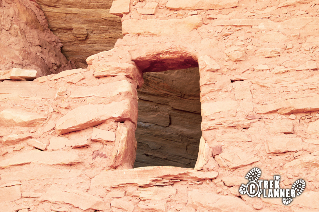
Lower Mule Canyon is amazing!
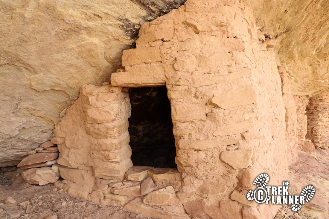
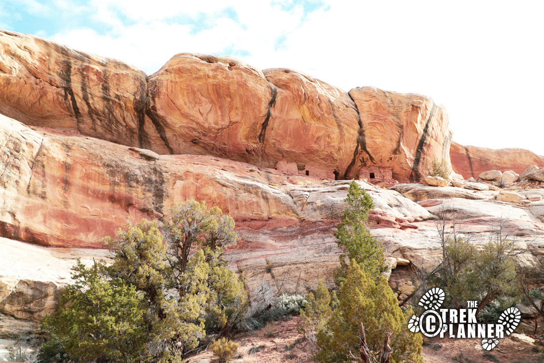
I hiked down on some rocks here and crossed the canyon. On the other side, I hiked up to a good vantage point to the next canyon and discovered there were more ruins! The trail is narrow and steep on the left side. I wouldn’t recommend children hiking over here, unless come up on the western side.
I saw a few pictographs near some of the ruins too!
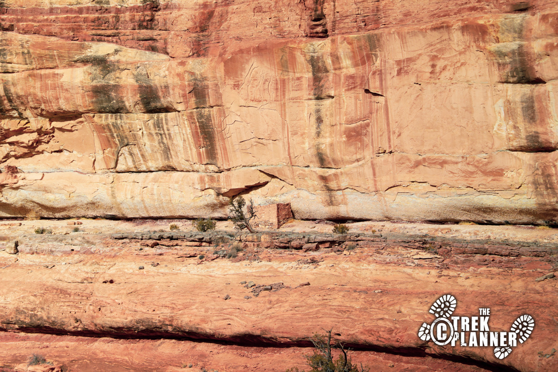
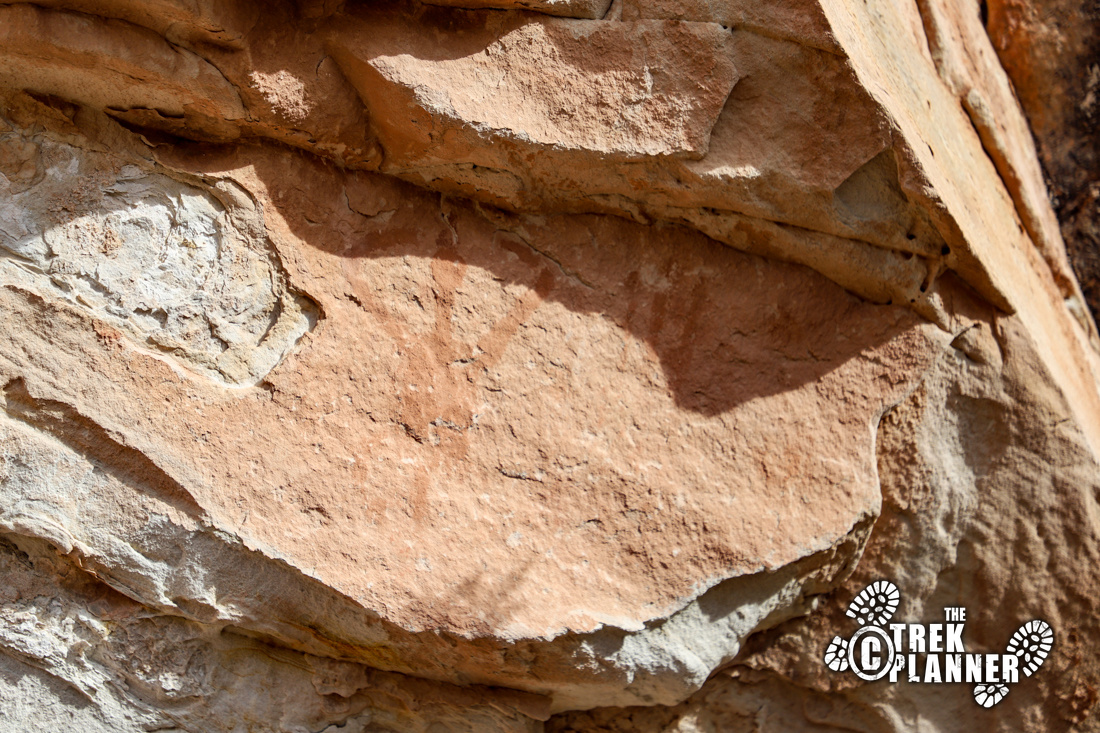
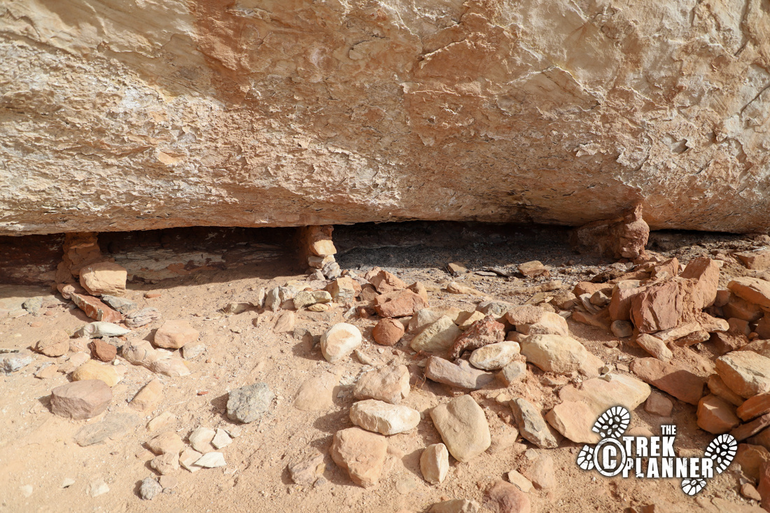
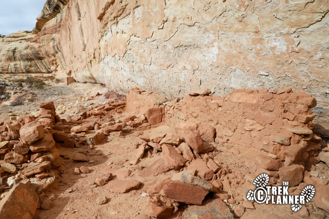

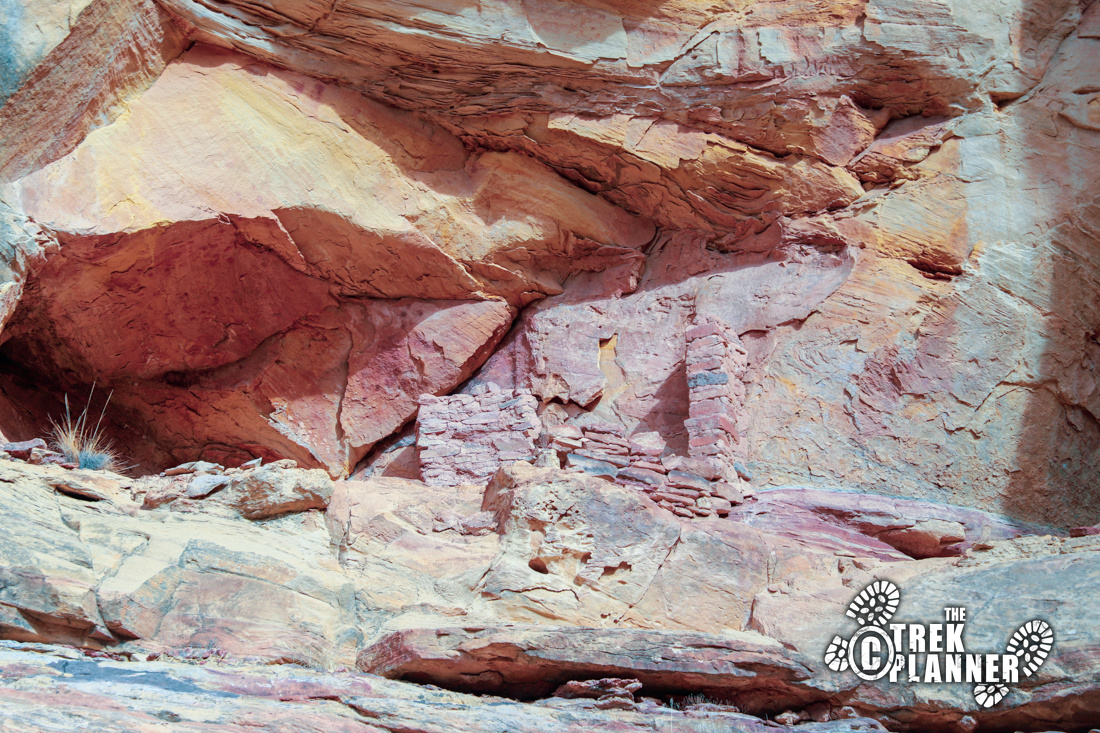
There are three sets of ruins over here that are also worth the effort. Just be careful where you step as the cliff edge is near.
From here I was going to fly my drone around, but I saw two hikers and stopped to talk with them. One of the hikers told me that they hiked up another mile and didn’t find any other ruins. I told them I found some on Google Maps and they said they spent a good amount of time and never found anything else.
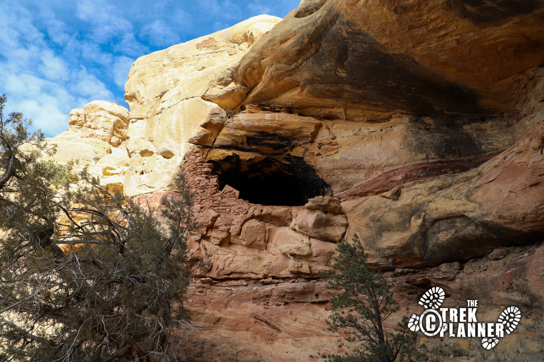
As I was exploring around the area, I looked in a small alcove and found more ruins! I even found a cave that looked like it originally had a walled front entrance. It was pretty dang steep to climb up to it, but I stood on a ledge and tried to see what I could inside. The roof and walls of this cave were black from fires.
Please be respectful and safe and do not climb into the cave.
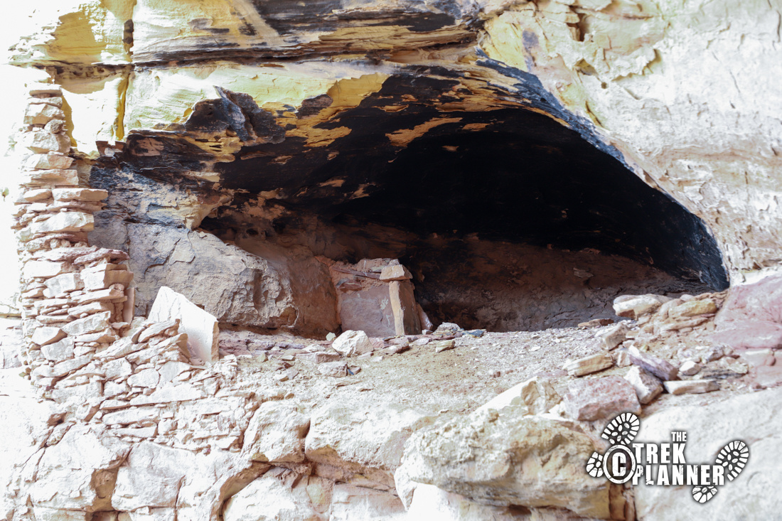
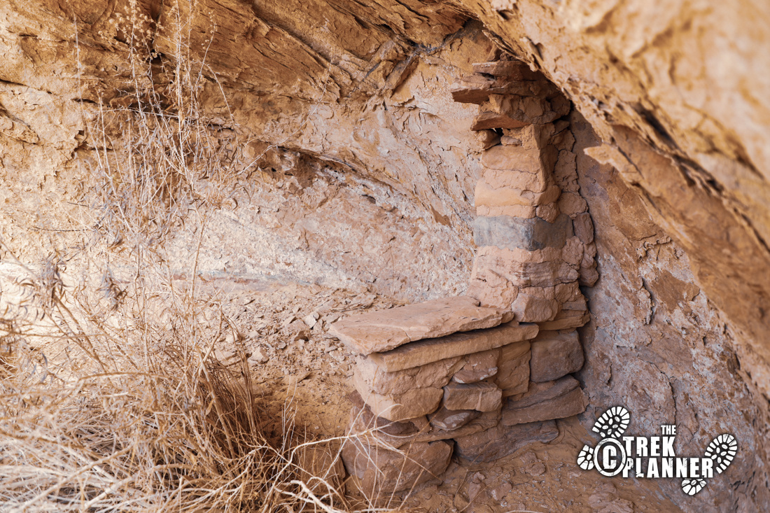
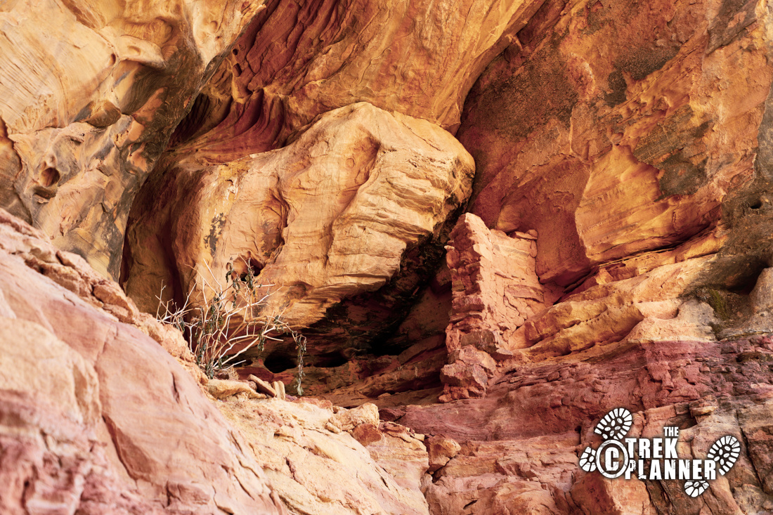
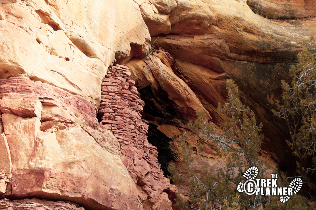
I continued on my way up the canyon and went straight to the place where I knew some ruins were located. The ruins I found are high on the cliffs. There are about 4 structures this high and I suspect they are granaries. It would be possible to hike to them, but I just cheated and used the drone to get there instead.
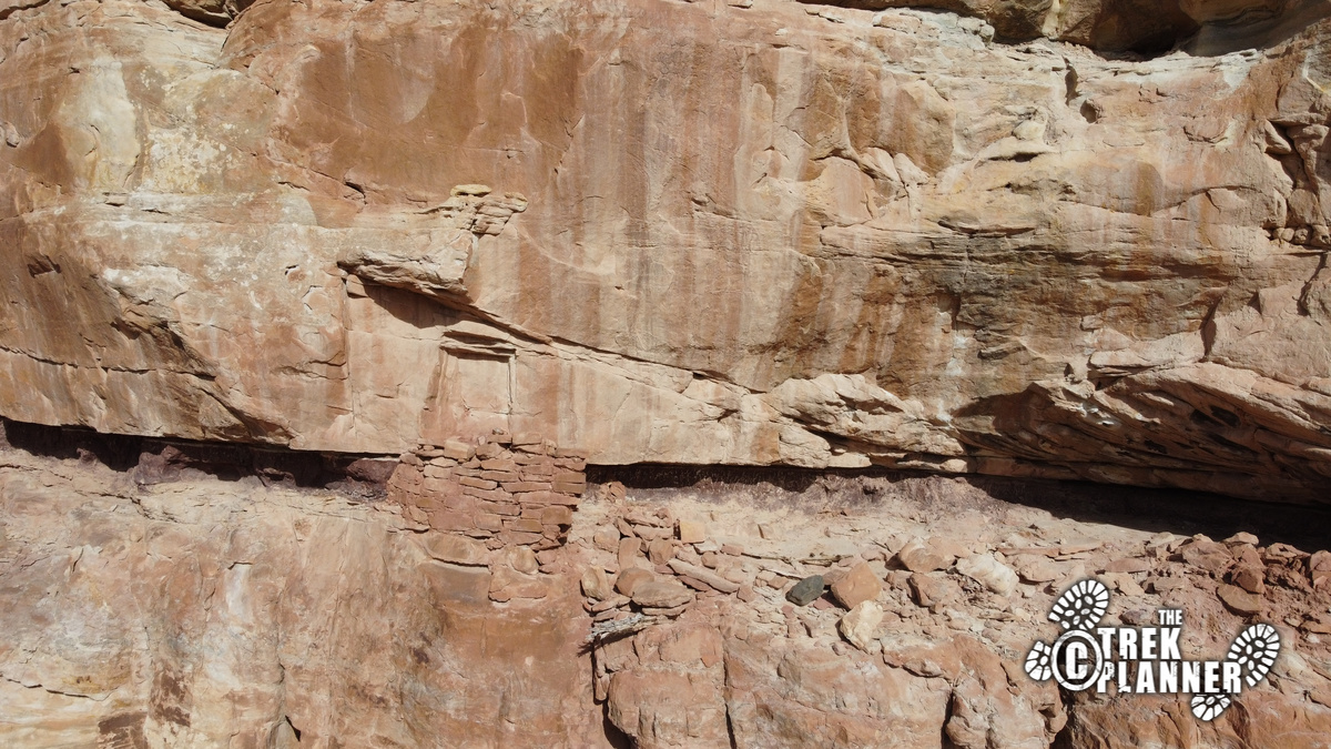
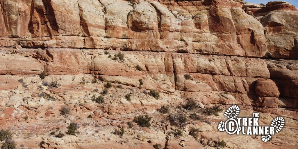
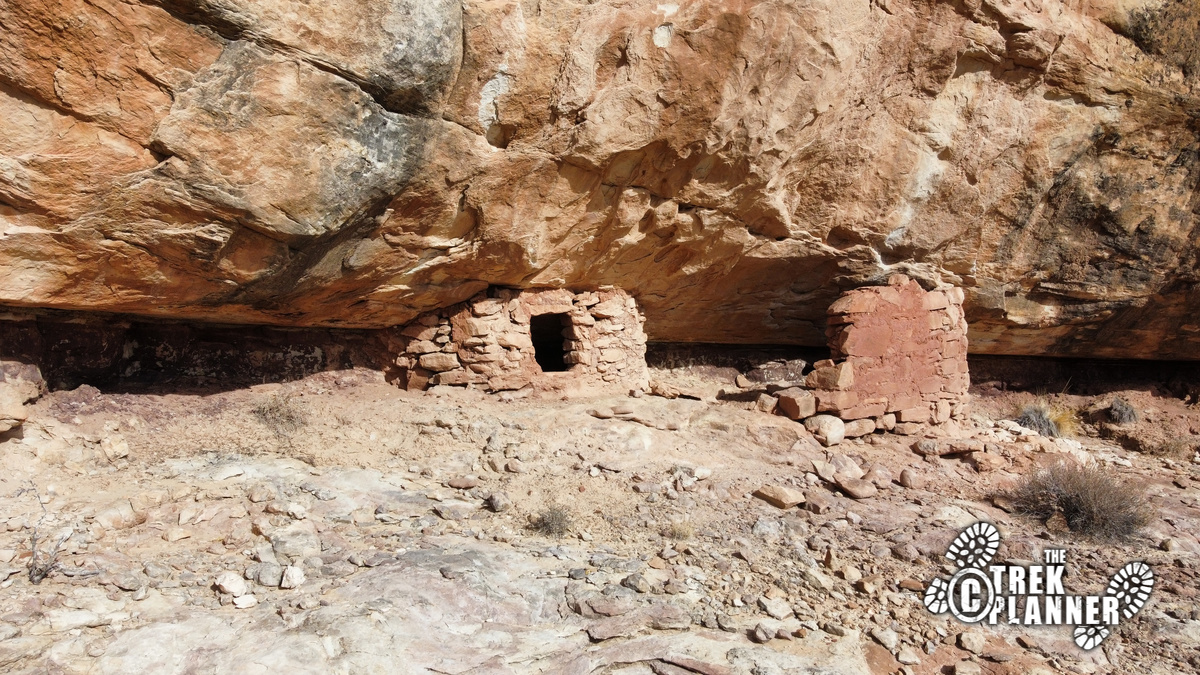
After this, I hiked back down to the first sets of ruins and pulled out my drone again. I was flying it around trying to get some good shots of the canyon and ruins when I lost it. You can read more about it on my adventure report here.
Trek here

Personal Thoughts
Lower Mule Canyon did not disappoint. This is a fun area full of ruins, petroglyphs, and other sites of interest. If you are looking for large and impressive ruins, this isn't for you. This is a beautiful canyon and one you should do if you are planning a trip to the Cedar Mesa or Comb Ridge area.

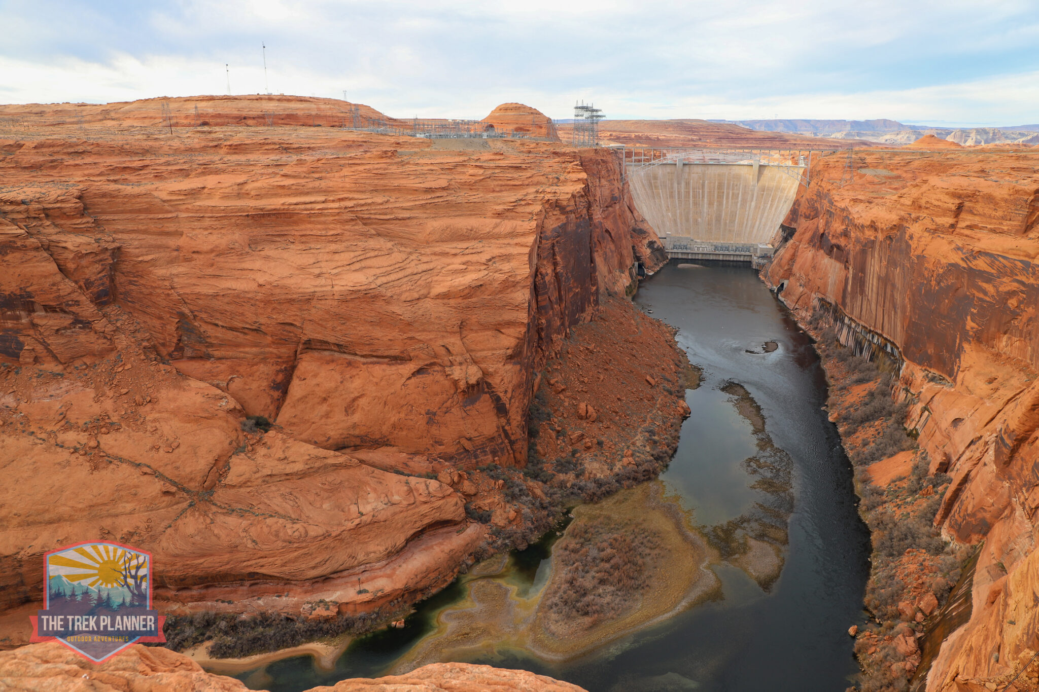

[…] breakfast it was time to look for my drone. Our campsite was located about 1 mile from the Lower Mule Canyon Trailhead. I was prepared this time too. I bought another drone to help us scout out for the one I […]
[…] hiking south to the main tower that overlooks Mule Canyon. This is the same Mule Canyon where the Lower Mule Canyon Ruins are located. The Cave Towers are just at the upper portion of this same […]
your web site is to fancy make it simple ,very hard to navigate you know the old sales saying KISS KEEP IT SIMPLE STUPID but thank you
I’m working on figuring out shirts and other stuff!