The Trek Details
The Trek in a snapshot
Hovenweep National Monument, Colorado
Hovenweep National Monument
Allowed on trails within Hovenweep National Monument
None
None
Not allowed
Good dirt trail
Many ruins and structures
Bring a liter of water per person
All
0.35 mile
1 hour
5363 ft
Varies
Varies

Holly Group Parking: 37.39984, -109.04027
Tilted Tower: 37.39951, -109.04162
Holly House: 37.39957, -109.04213
Holly Tower: 37.39967, -109.04177

The Trail
Follow along on our adventure then go out on your own!


Note: There are no services or even restrooms at the Holly Group. All services are at the Visitor Center at the Square Tower Group.
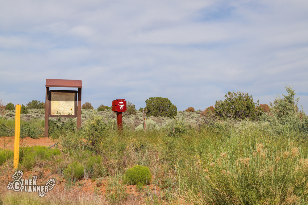
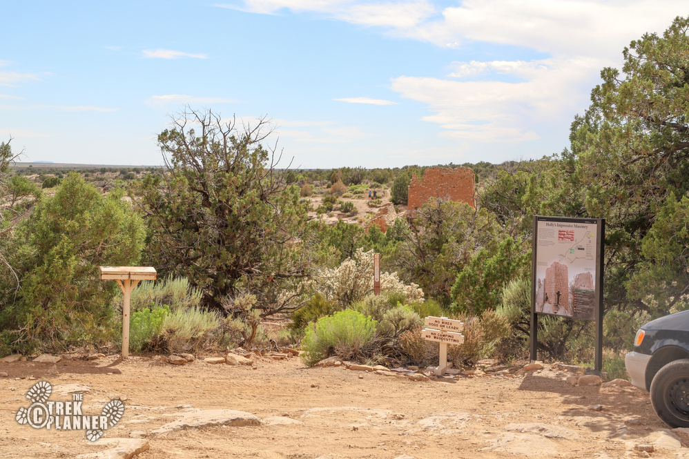
This group of ruins is located about a 40 minute drive from the Hovenweep Visitor Center. There are some small signs pointing you to the Holly Group parking area, but if you have troubles finding it just plug in my GPS coordinates above and you’ll get there. The road leading to these ruins is dirt and may be impassible if you do not have a high clearance or 4×4 equipped vehicle. I got here fine in my impala but if there was recent rains I probably wouldn’t have made it through all the potholes and ruts.
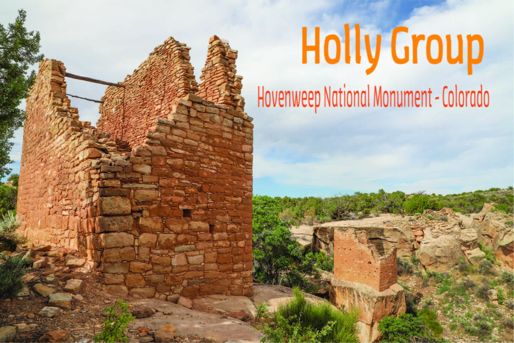
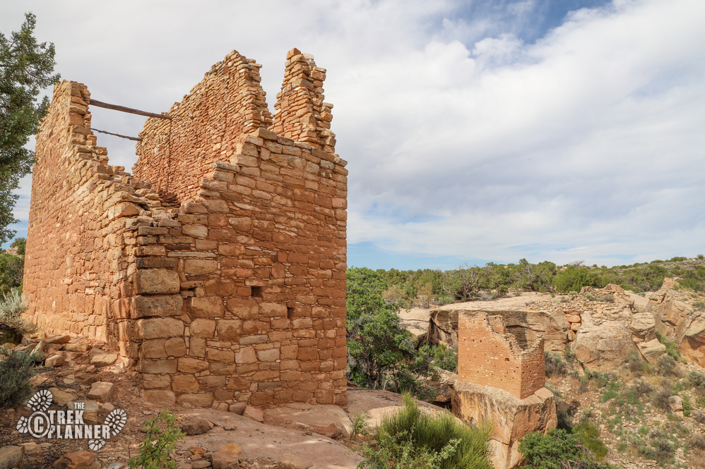
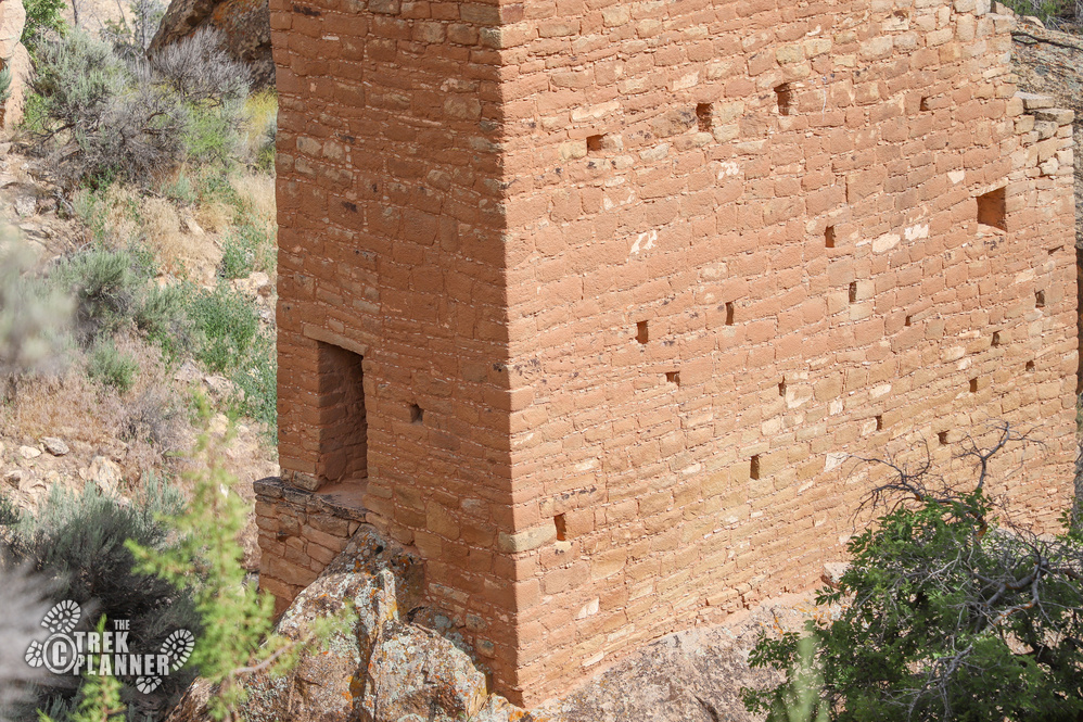
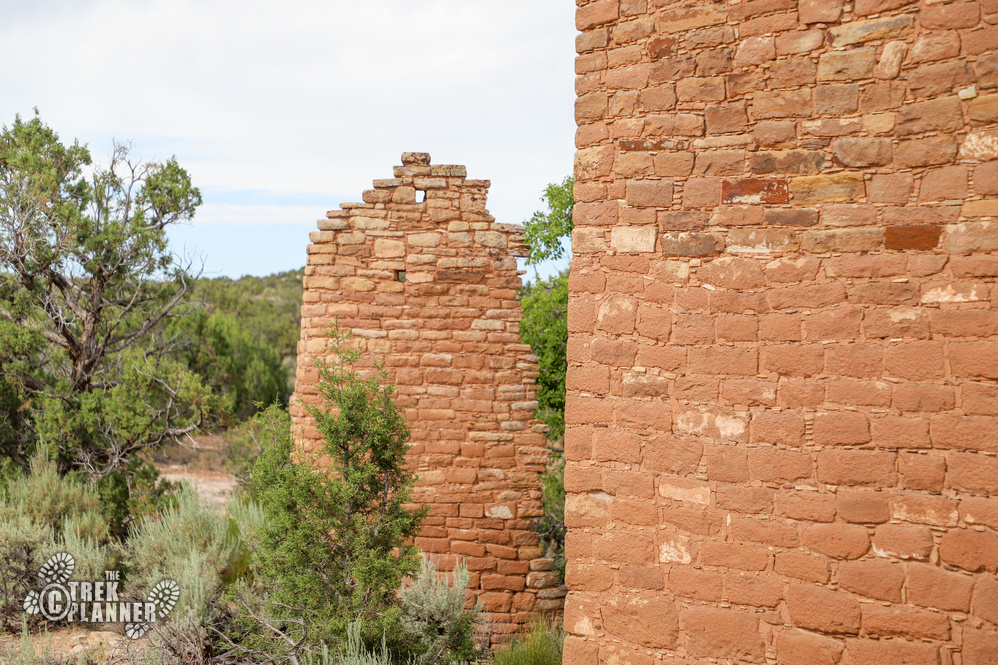
The Holly Group of ruins is probably my favorite of Hovenweep National Monument. It seems like the people who built these particular structures spent even more time and focus on the masonry. This was a smaller community but one that was connected to the rest of the larger Hovenweep community nonetheless.
The Holly Group is named after a rancher named Jim Holley who was around these parts in the 1800s. To read more about this canyon and more of the history of these ruins please visit the National Park Holly Group page: https://www.nps.gov/hove/planyourvisit/holly.htm
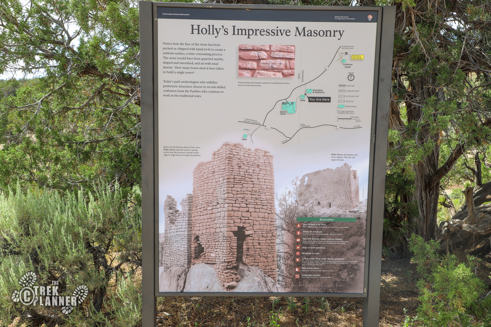
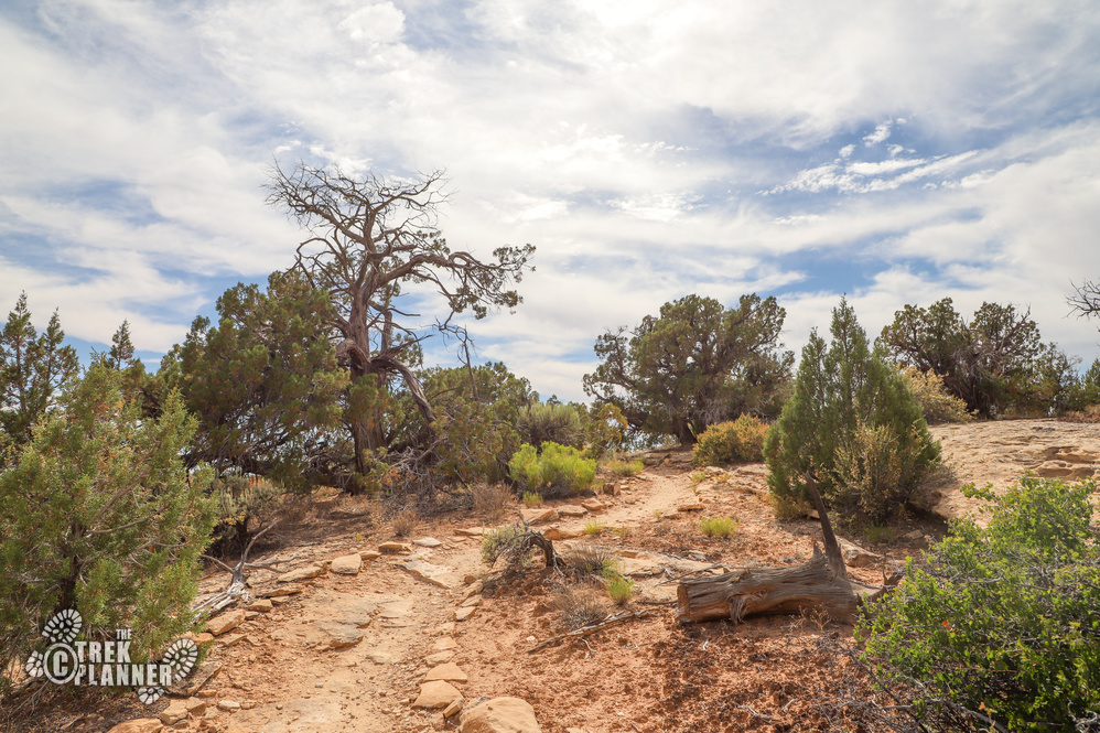
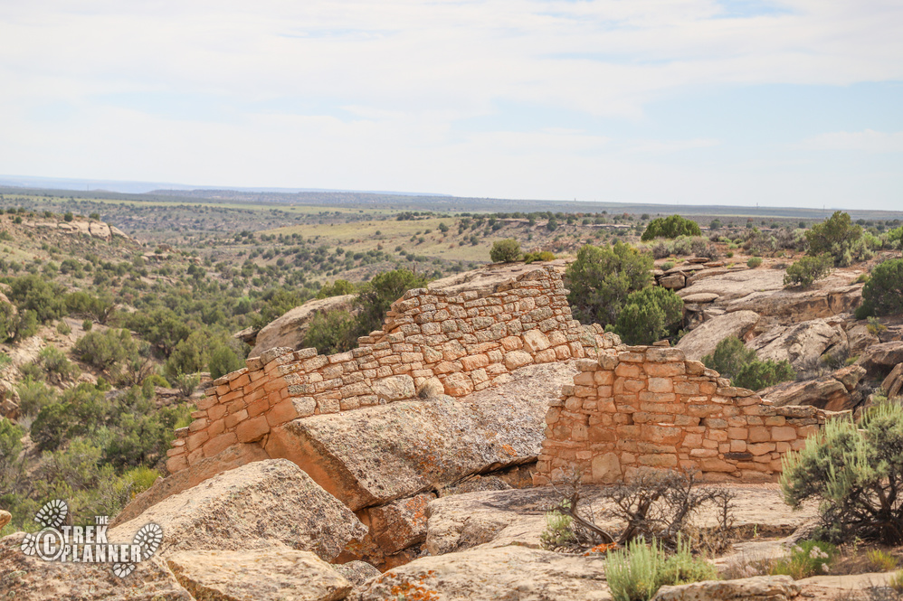
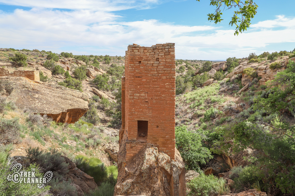
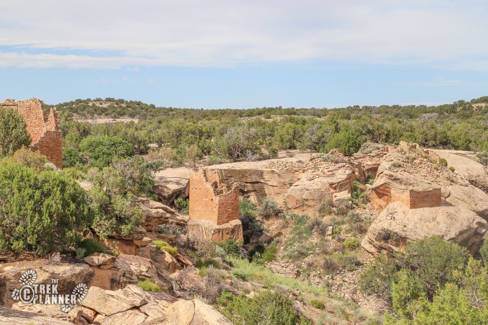
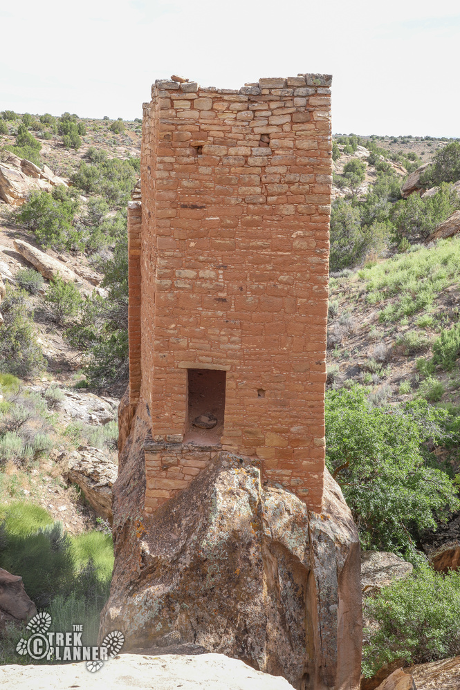
All of the structures in the Holly Group are located right next to the parking area but you can take the trail to the other side of the small canyon to check out the largest of the group’s ruins. One of the most fascinating structures is a single tower called Holly Tower, that is on it’s own boulder in the middle of the canyon! It looks like an impenetrable fortress but you can actually see there is a way into it from the bottom crossing over the rocks.
Just to the left of Holly Tower is Tilted Tower. If you scan the canyon floor you can see remnants of the top portion of this building.
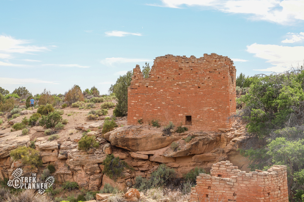
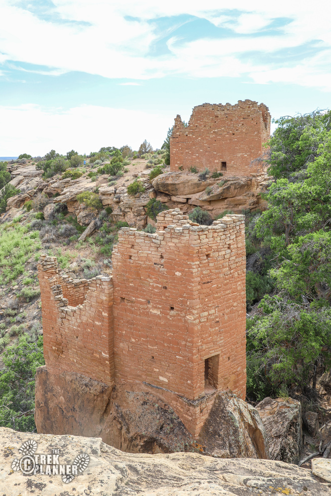
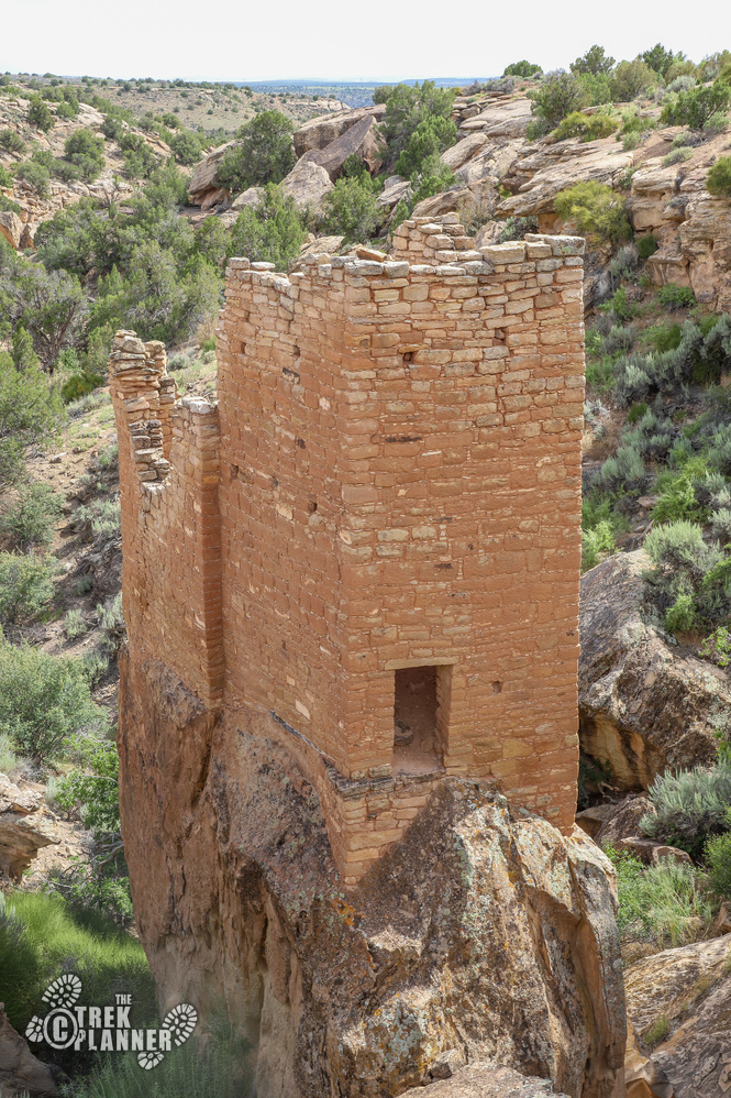
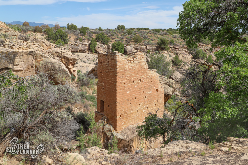
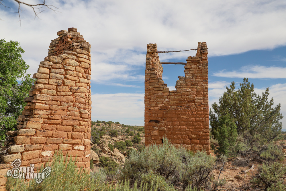
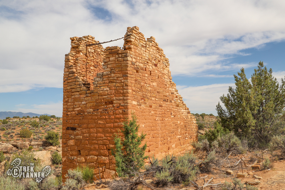
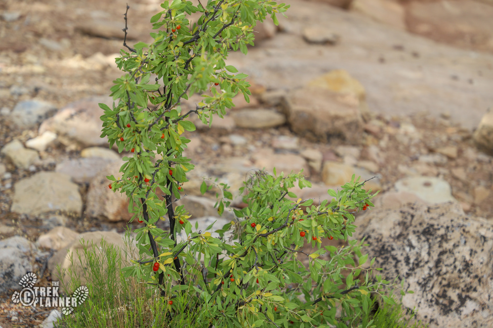
The largest structure is on the far end of the canyon called Holly House. You can see inside a little bit if you stand on your tiptoes. On the canyon side of the building I found lots of red berry bushes. I wouldn’t try tasting these but the vibrant red color made for a great photo!

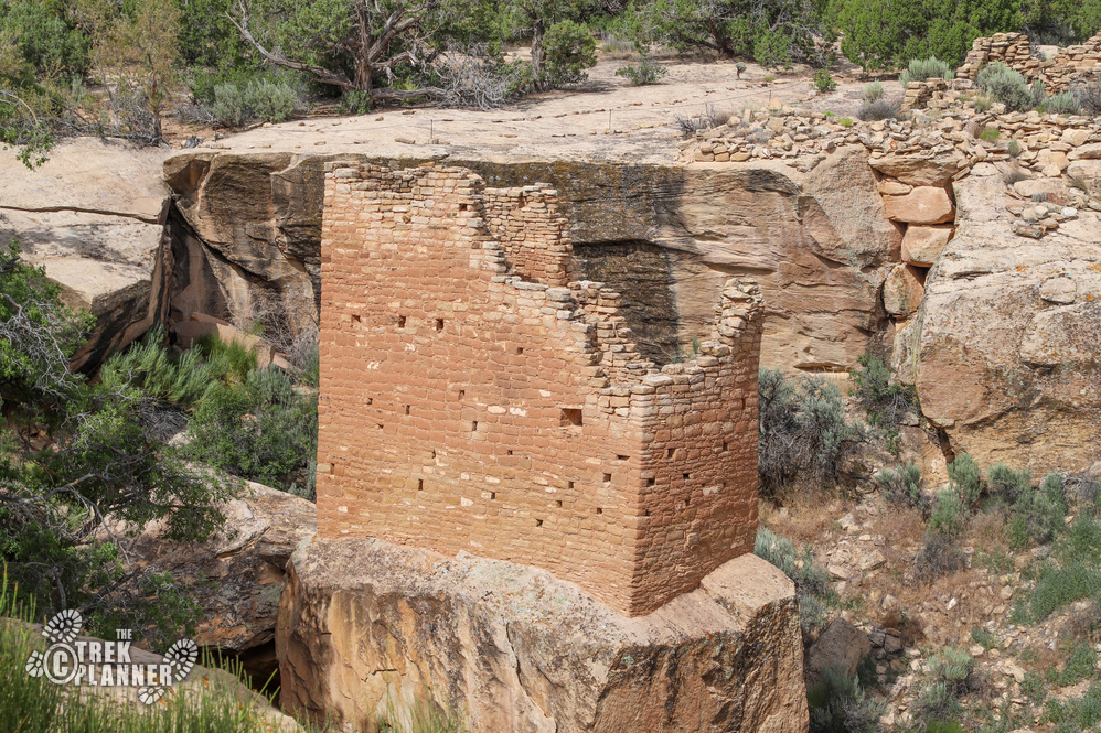
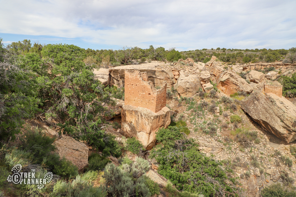
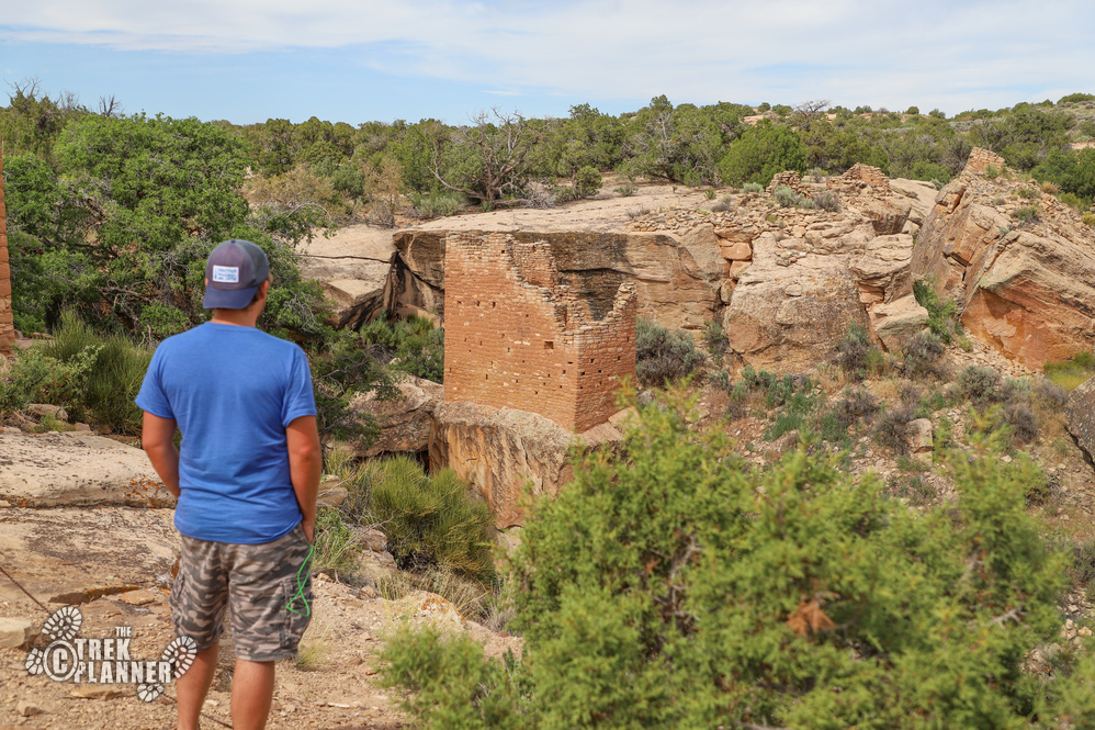
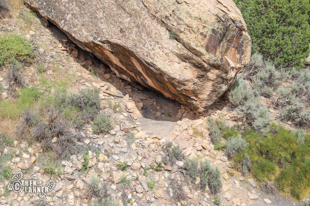
There are other smaller ruins in the area. You can see remnants of piled rocks near the other ruins.

Petroglyphs
Trek Planner Insiders Only!
(memberships are currently unavailable)This content is locked
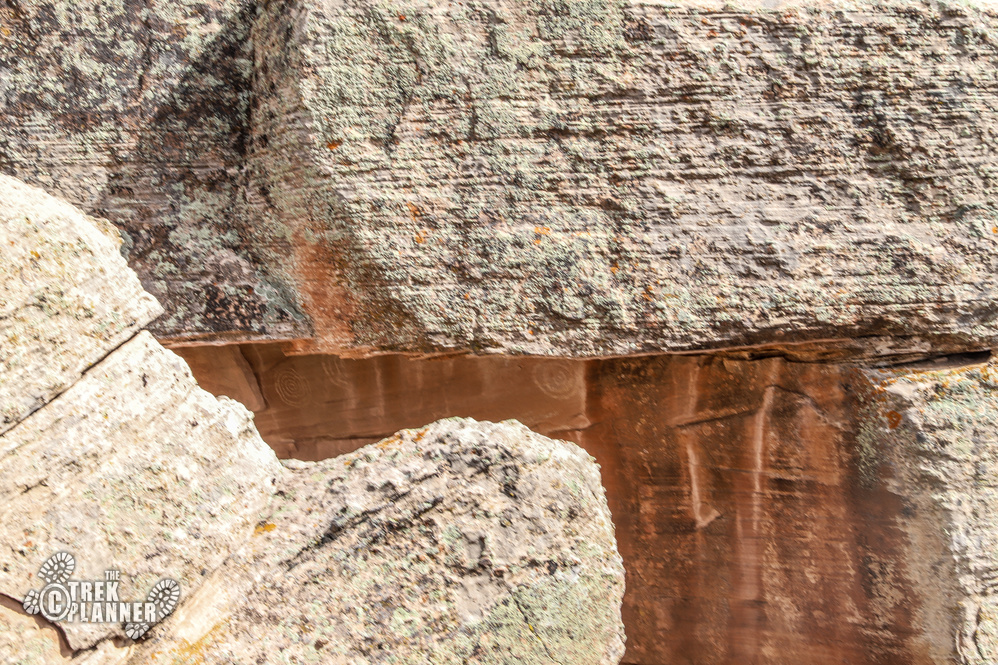
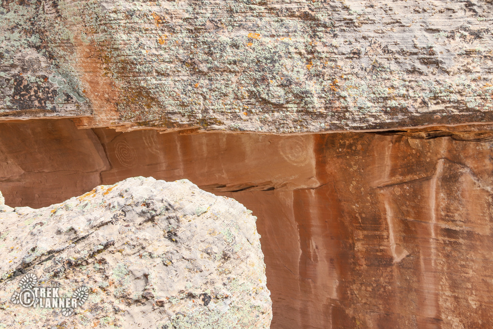
Continue down the trail to see the petroglyphs. It isn’t far but the petroglyphs are hard to find. Why do you think the ancient inhabitants chose to carve spirals underneath this particular ledge?

Personal Thoughts
The tower built on that one boulder was really neat to see! I wonder why the Ancestral Pueblo built it right there. Was it for protection? Water? Or something else? Mesa Verde is not that far from here and neither is the Comb Ridge area where there are thousands of archeological sites.

