Thank you for being a member!
The Trek Details
The Trek in a snapshot
St. George, Utah
Unknown
Allowed
None
None
Not allowed
To get close to the cross you will need an off-road vehicle, truck, or Jeep. This will get you to the trailhead. Then you can hike to the cross and ruin. The trails are on dirt and rock
Mysterious cross, rock sctructure
Bring a liter of water
All
About 1.2 miles roundtrip
1+ hour
3100 ft
3018 ft
82 ft

St. George Cross: 37.12384, -113.48249
Rock Structure: 37.12379, -113.48268

The Trail
Follow along on our adventure then go out on your own!


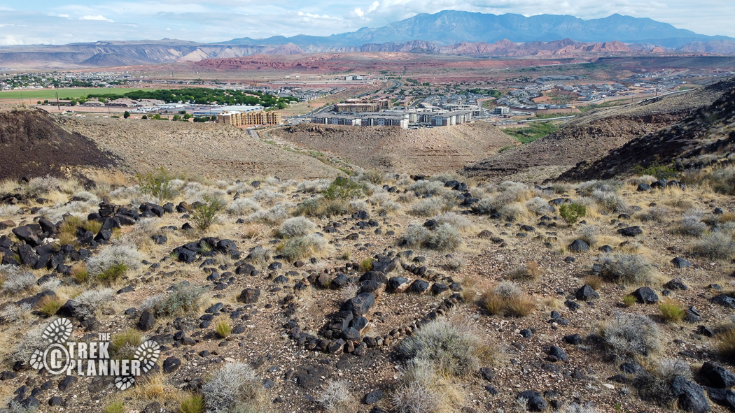

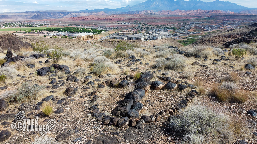
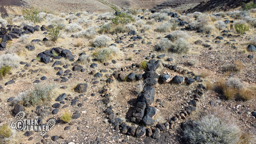
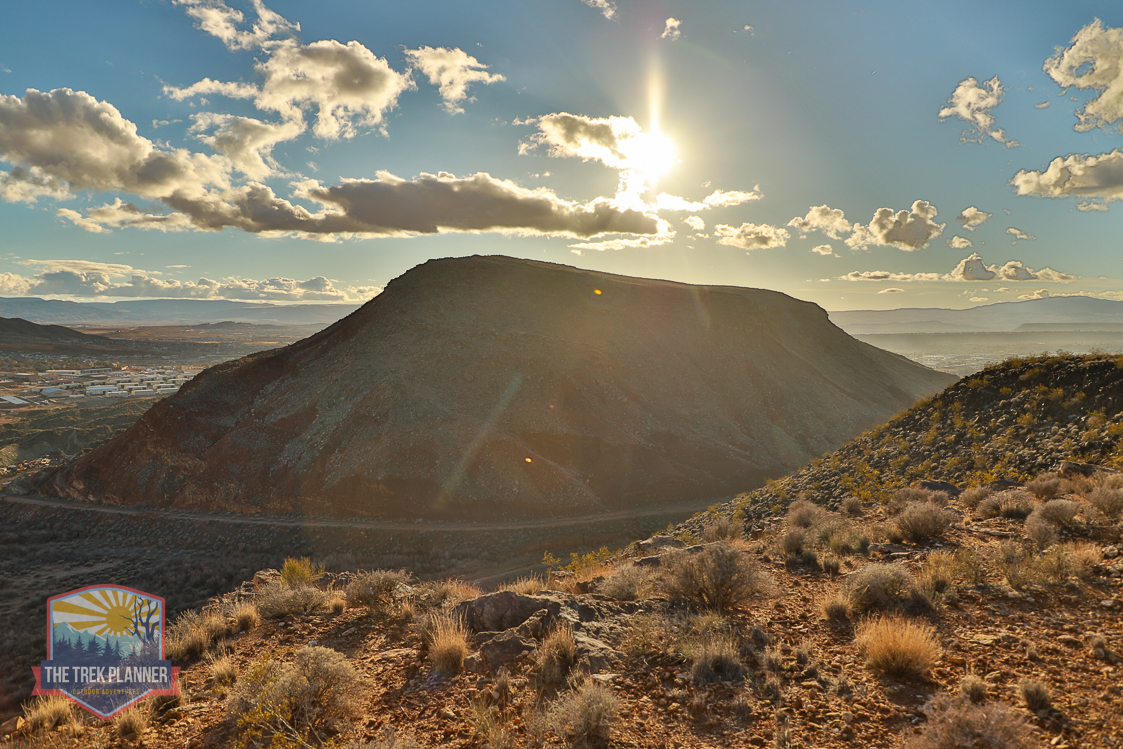
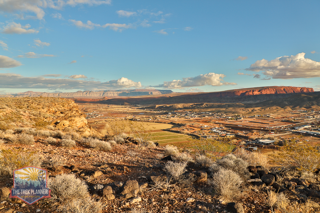
I found this cross while looking on satellite maps. I’m not sure who made it or what it’s for, but it is very interesting nonetheless. The cross is located on top of a mesa in St. George. You would never know this was up here unless also looking at satellite maps, or if you were flying a drone in the area, or randomly exploring here.
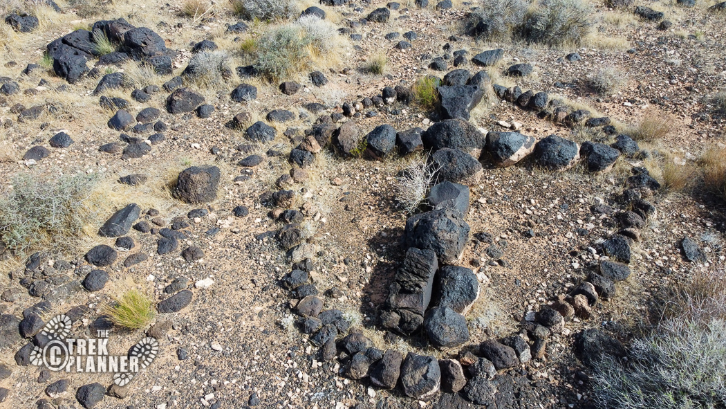
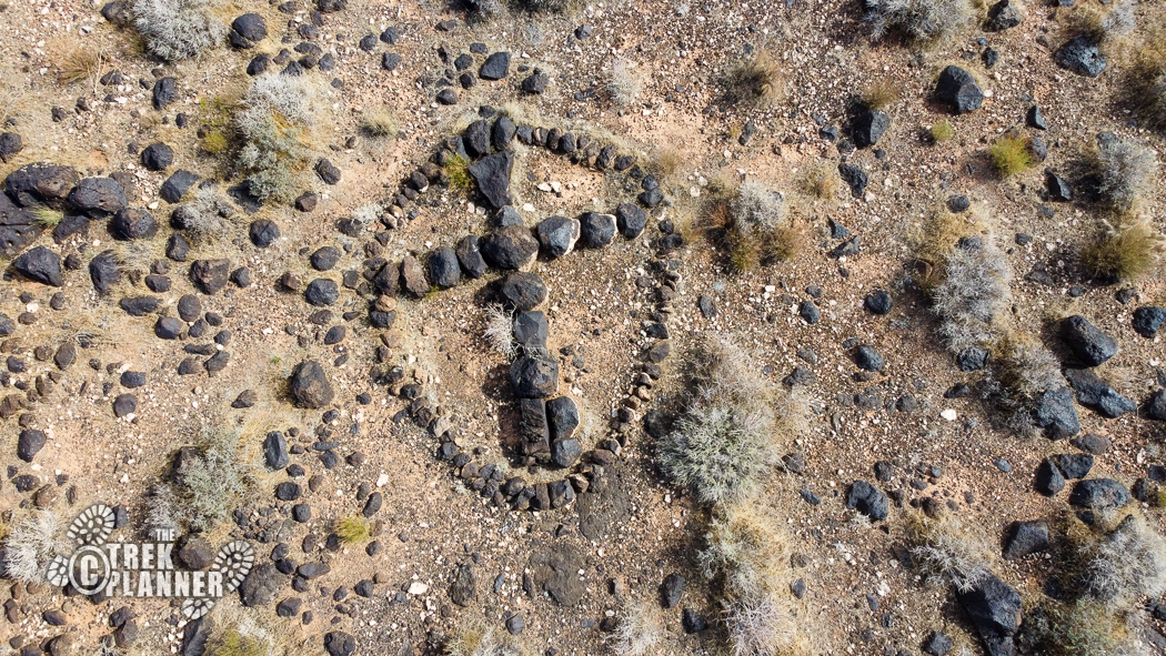
I didn’t have much time to hike to the cross, but I had time to fly my drone to it. The cross is about 8 ft. in length and is made out of black rocks. It’s encircled by rocks too. The actual cross points almost perfectly in north, south, east, and west directions. It seems to be pointing towards Pine Valley – is it leading us to treasure? The cross seems old, but not ancient. Was this cross made by the early pioneers? Or was it made by the Spanish? The Spanish Trail goes through St. George, so it’s a possibility. I’m not sure, but it’s a neat little St. George relic!

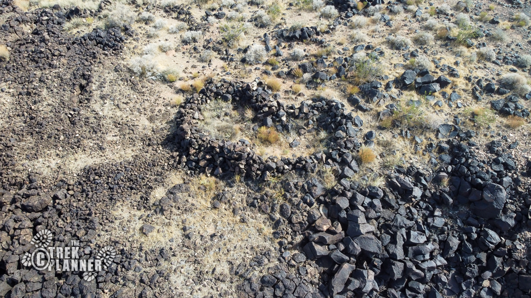
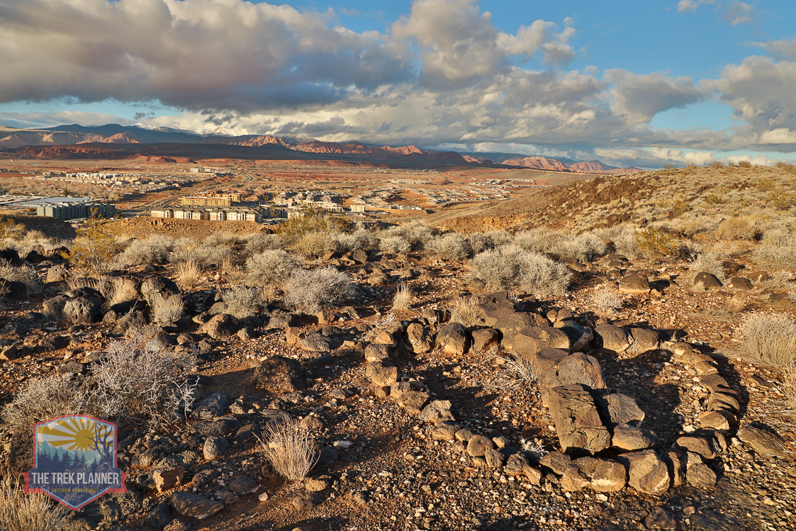
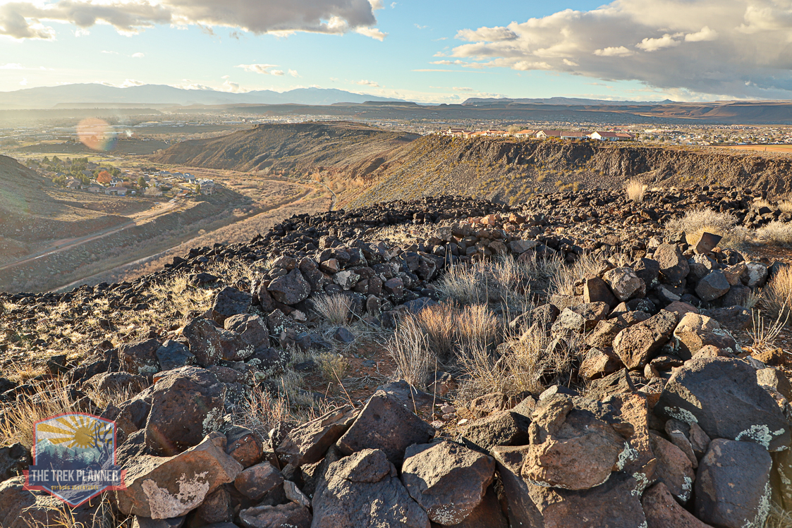
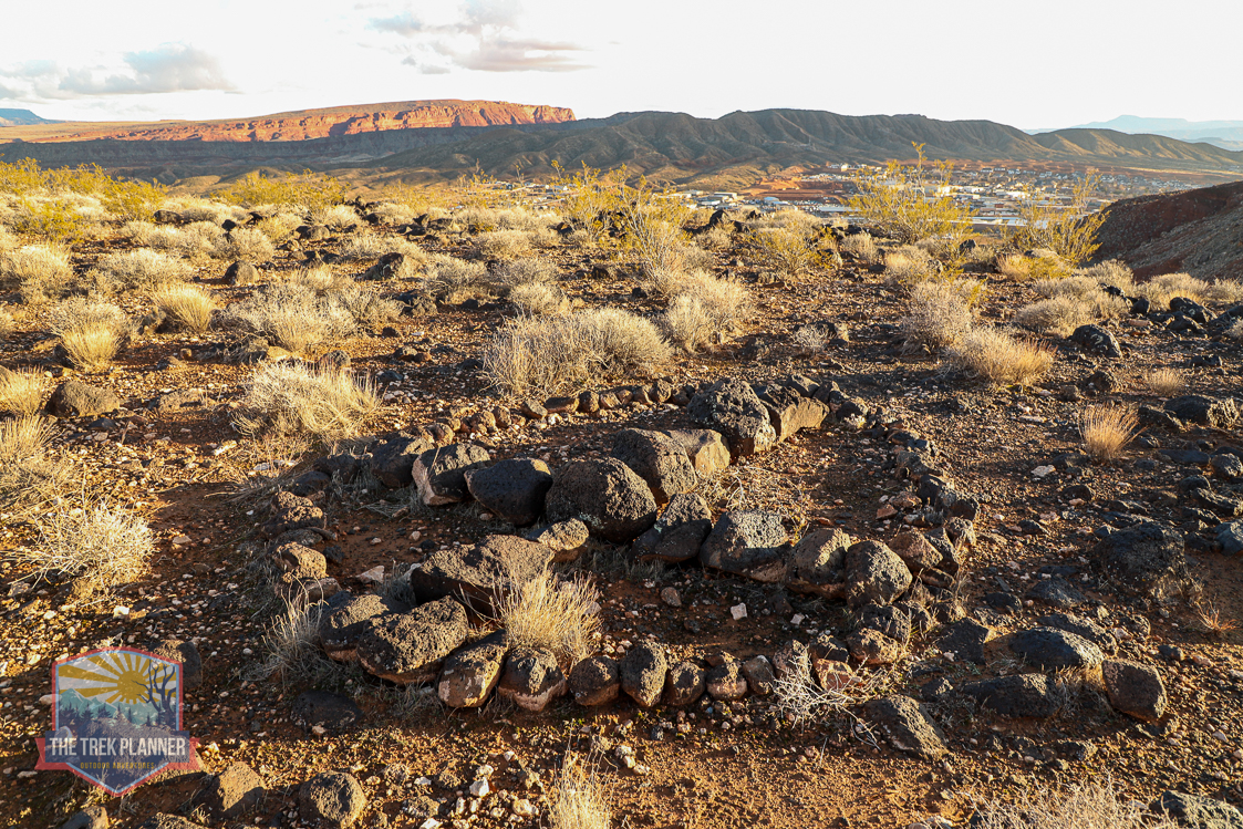
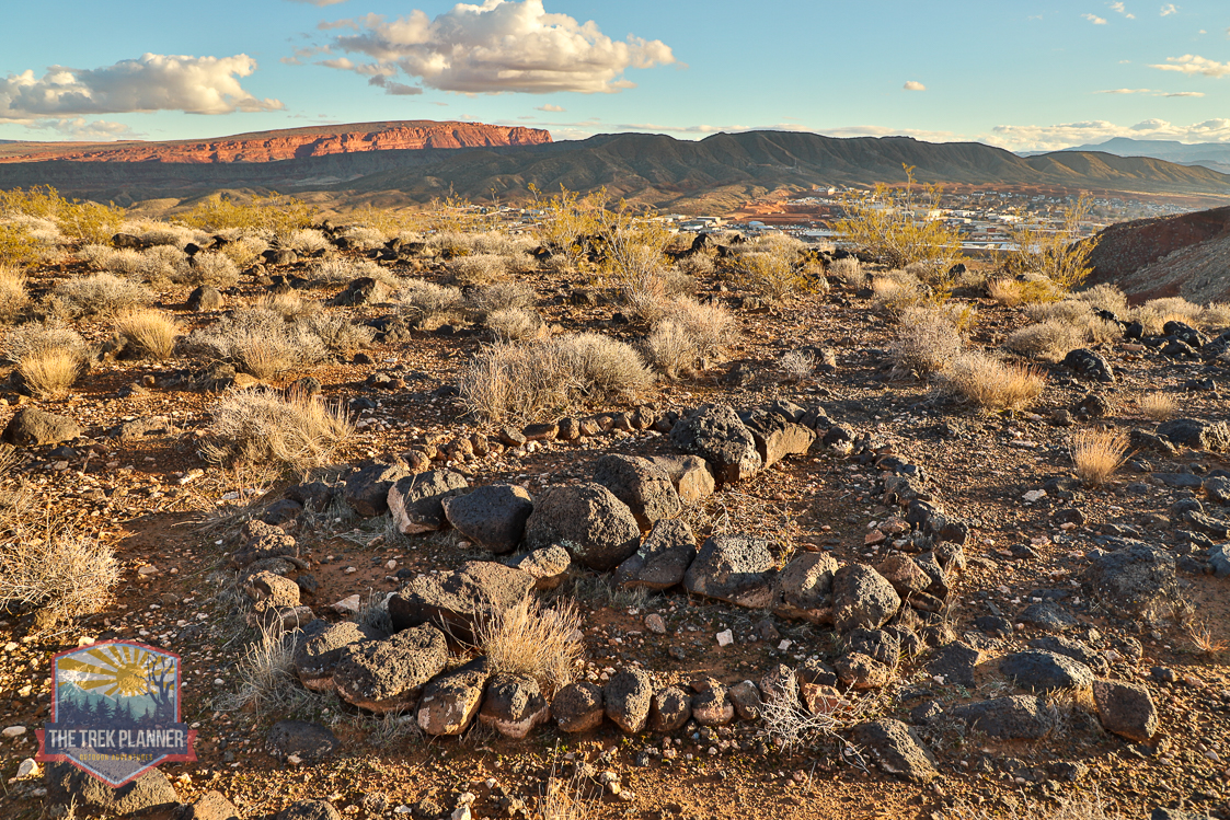
Just to the west is the stone structure in the shape of a kidney bean. This appears to be some type of old shelter. There is also another pile of rocks to the north of the shelter.
Please be respectful of the cross and structure and do not deface or damage them. Please just take pictures and enjoy them from a distance.
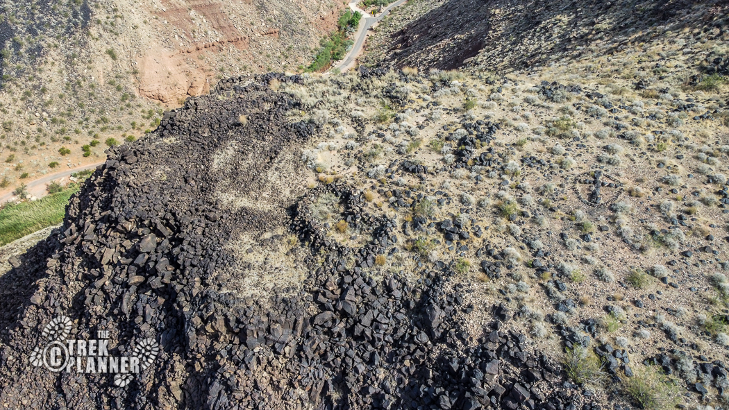
You could hike to the cross in several ways. One would be to drive an ATV or Jeep up the nearby trail and hike the remaining distance to the cross. The other is to hike straight up the side of the mesa.


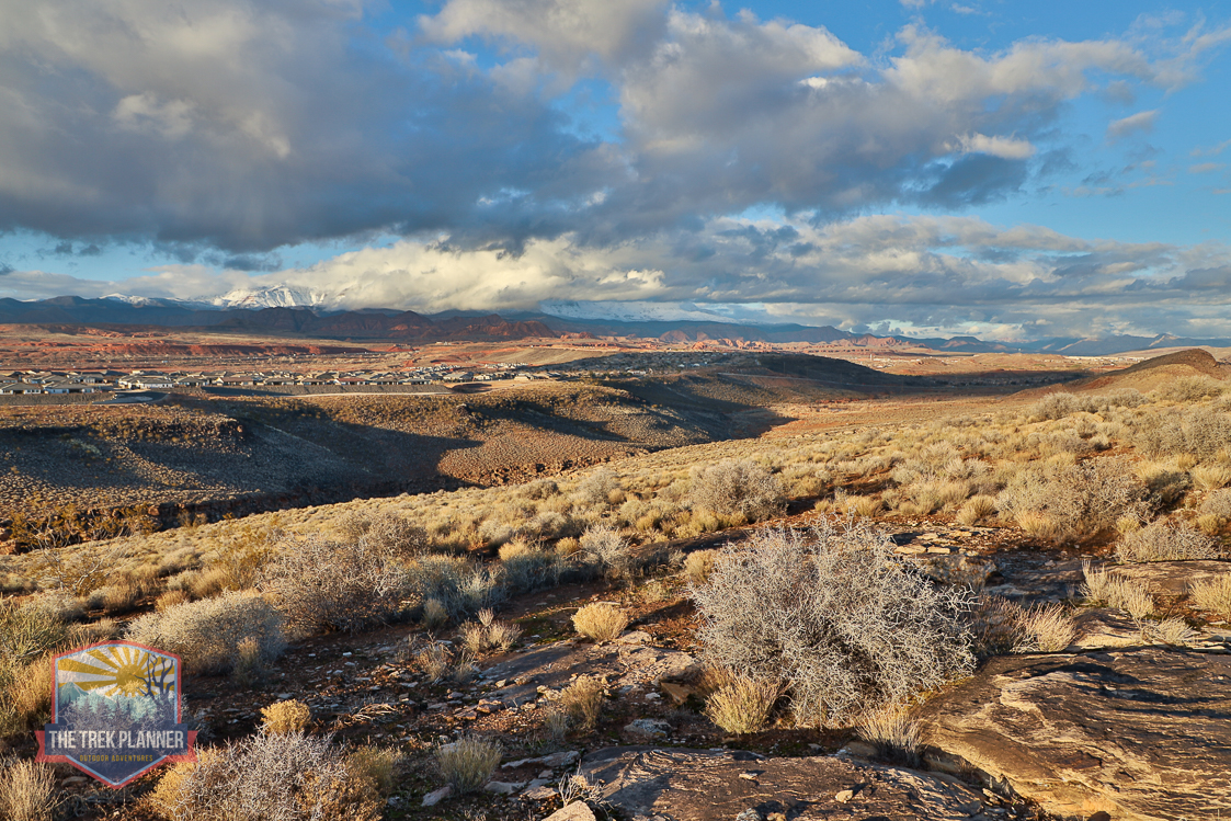
I hiked this from the edge of the mesa coming in from the east. In total, it took me about 2.5 hours roundtrip. I was hiked very slow trying to search for petroglyphs. The hike is pretty easy and overall was quite enjoyable. There isn’t a set trail the entire way because this isn’t a well-traveled trail.
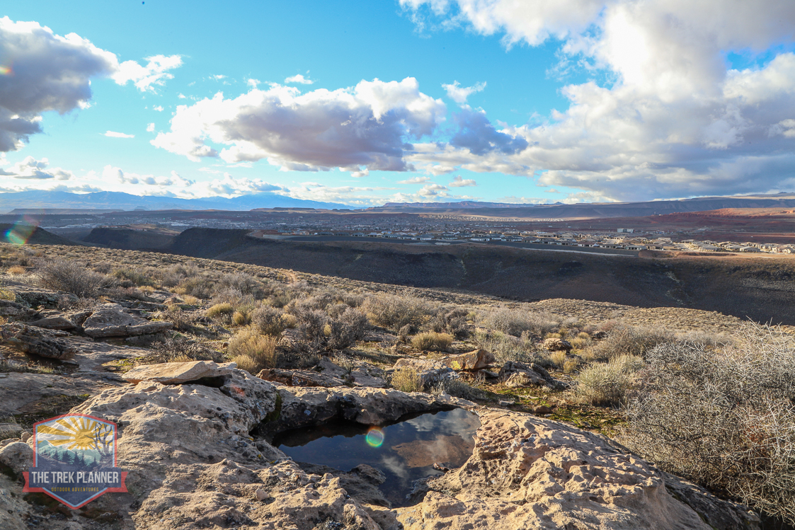
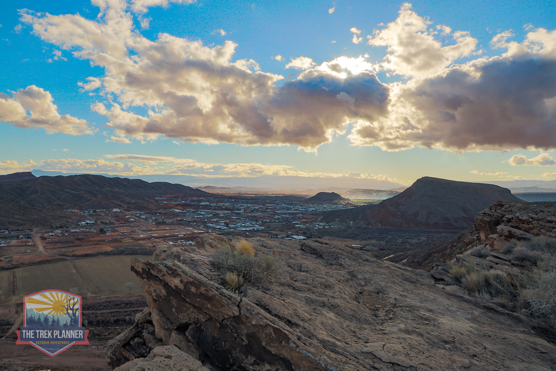
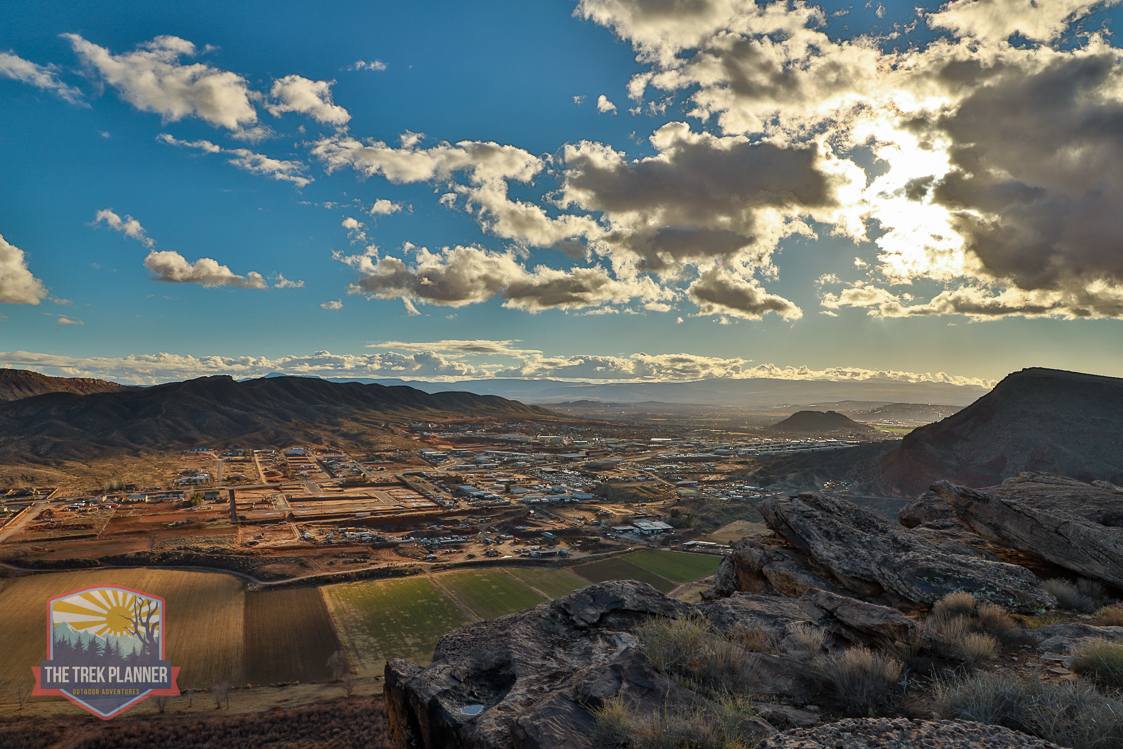
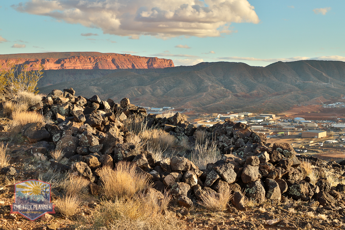
Along the way I found many interesting monuments and stacked rocks. I’m no expert, but some appear ancient and others appear more modern.
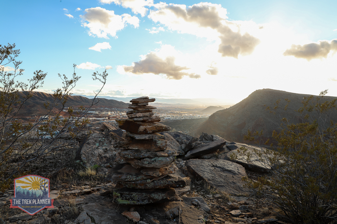
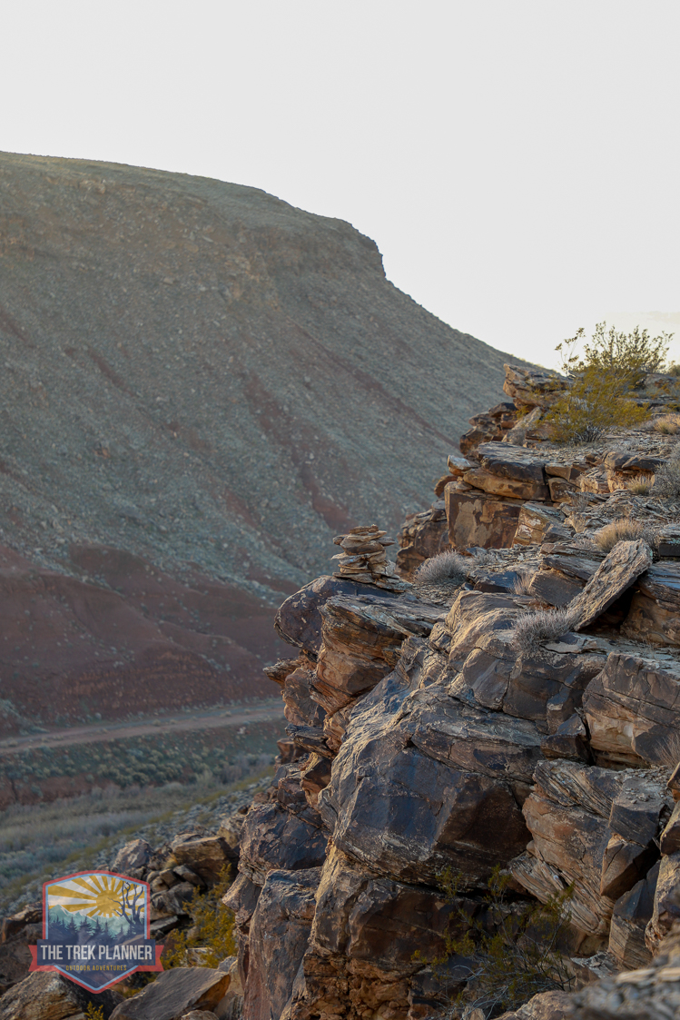
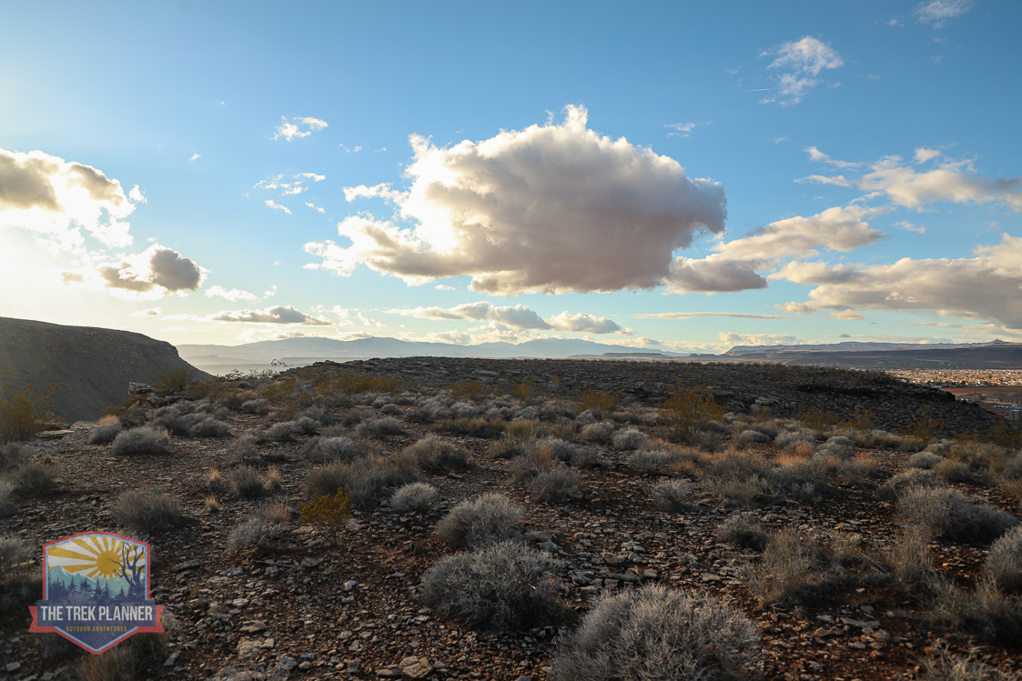
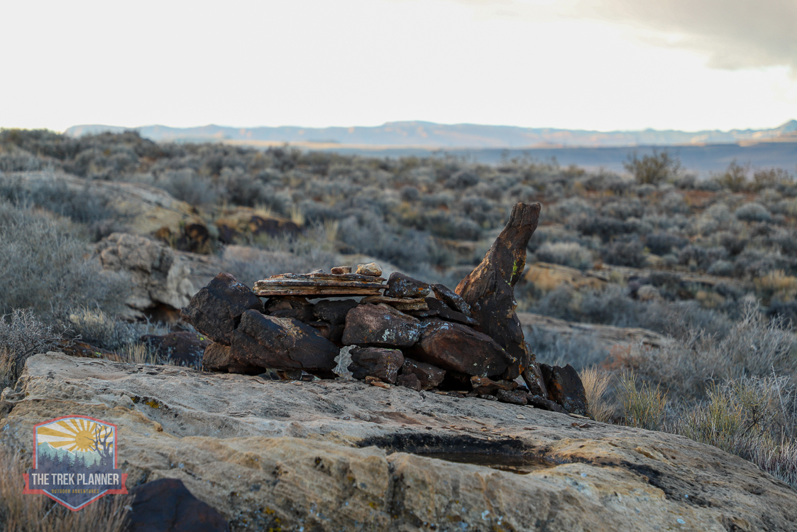
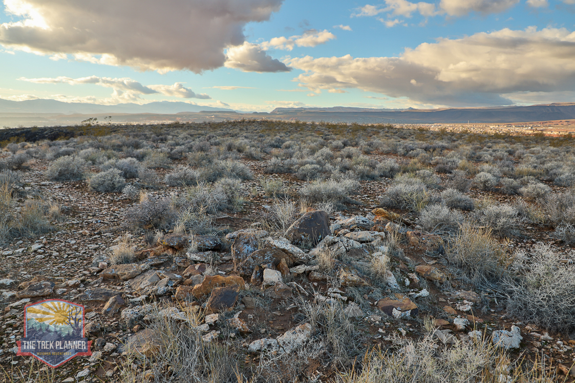
I know believe the cross is a depiction of a anthropomorph (human-like figure). You can see the feet, two arms, and a triangle shaped head. It’s not clear if this is an ancient creation or a modern one. What is clear though is that there are about 5 rock circles here. I think these were used as shelters. Please do not disturb the ruins or add or take rocks from them.

Personal Thoughts
I love seeing weird and odd things that are hidden around big cities! This is located very near to town and yet hidden in plain sight.