The Trek in a snapshot

Trek Planner Maps
(memberships are currently unavailable)This content is locked
Parking: 41.08774, -111.9017
(memberships are currently unavailable)This content is locked

Experience. Discover. Explore.
Follow along on our adventure then go out on your own!


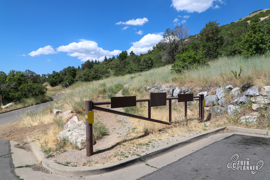
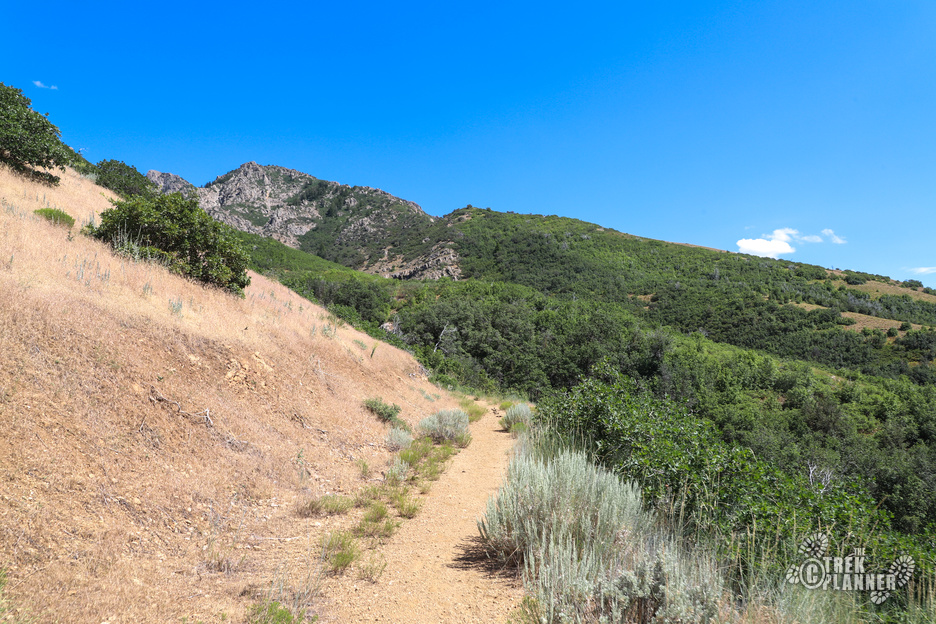
This trail isn’t that long but it is steep. To get to these small mines you will begin at the same trailhead for the Fernwood Picnic Area. There are drinking fountains and outhouses here too if you need it.
The trail winds up to the east on the mountain and at some point you will need to cut directly south down to the mines. I know this is very generic and purposely unclear information but that is because The Trek Planner tries to protect these historical sites from the masses. Consider becoming a Trek Planner Insider member to view GPS coordinates, trail maps, and some historical information of these types of Treks.
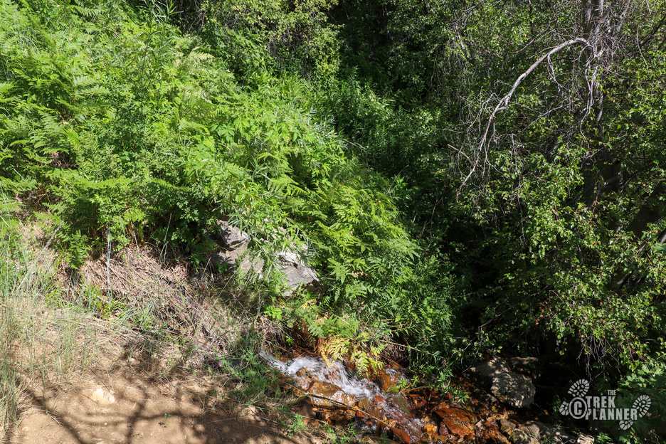
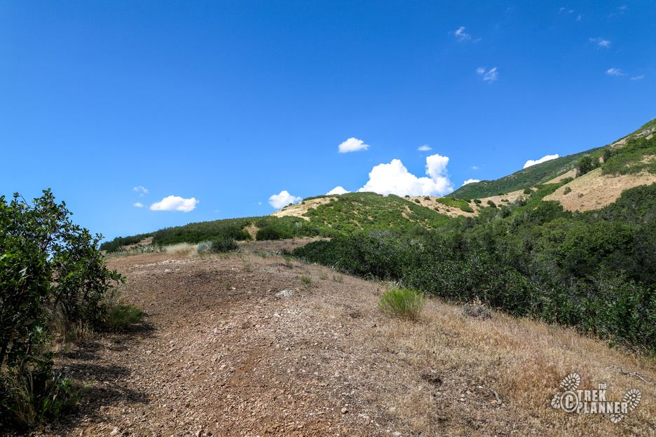
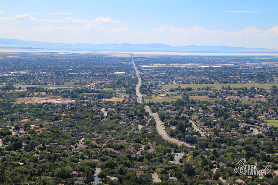
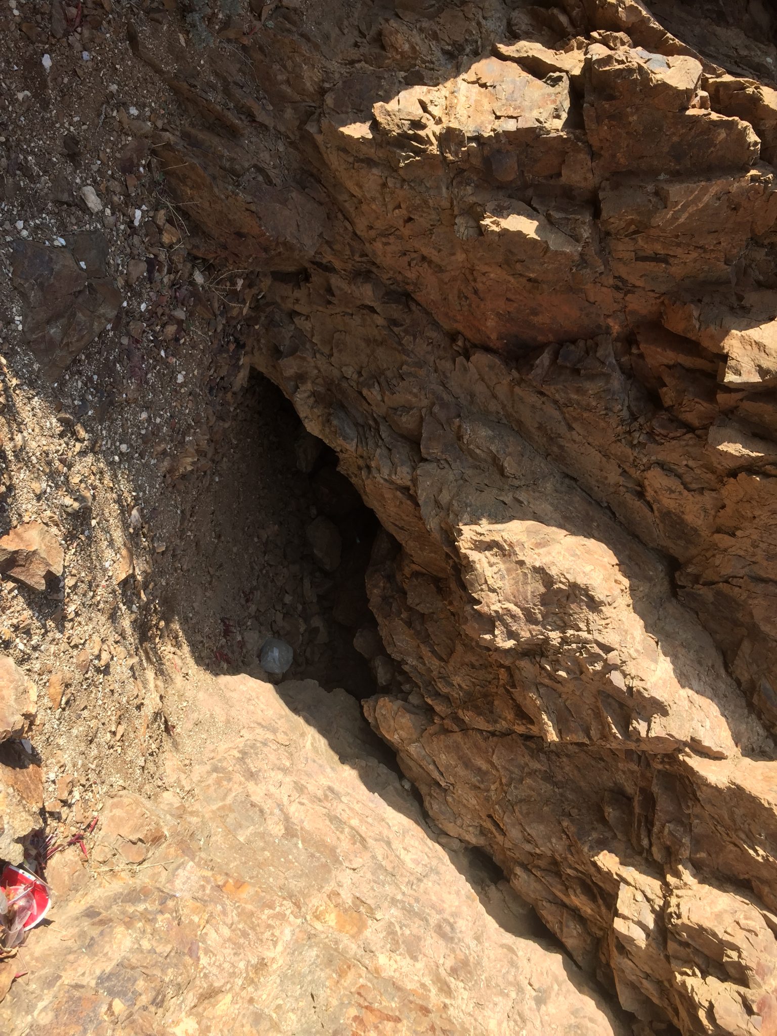
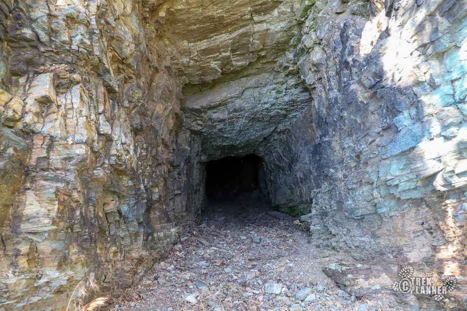
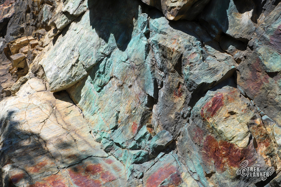
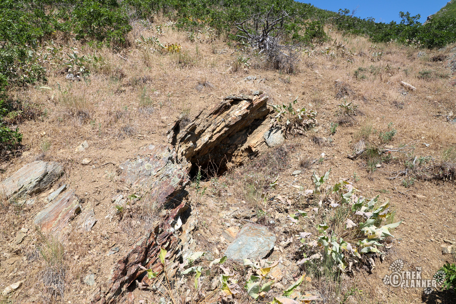
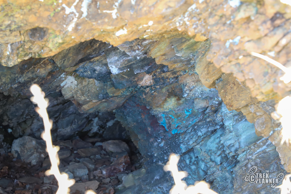
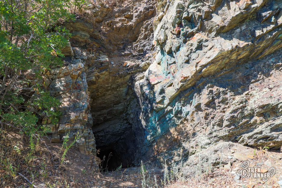
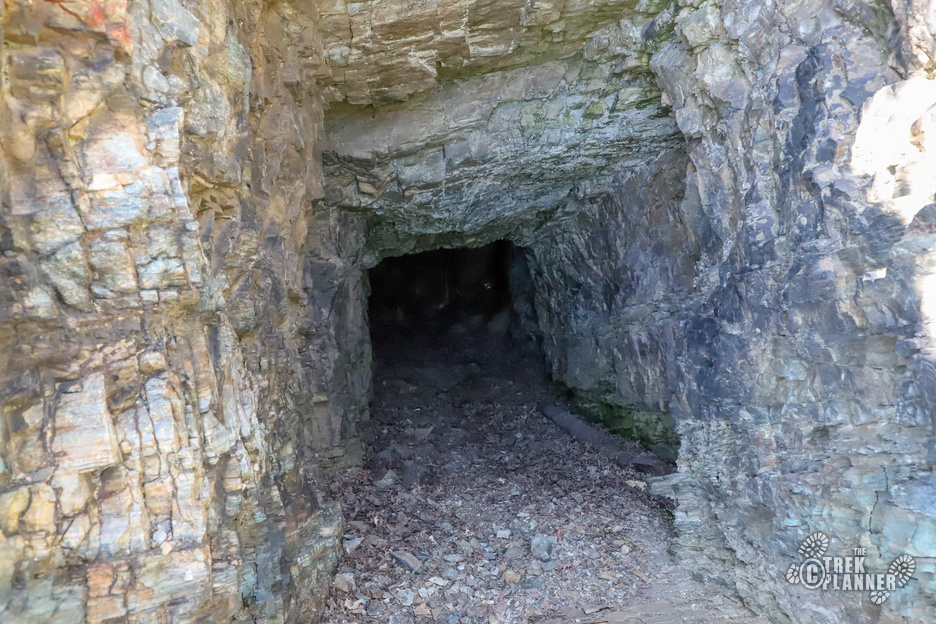
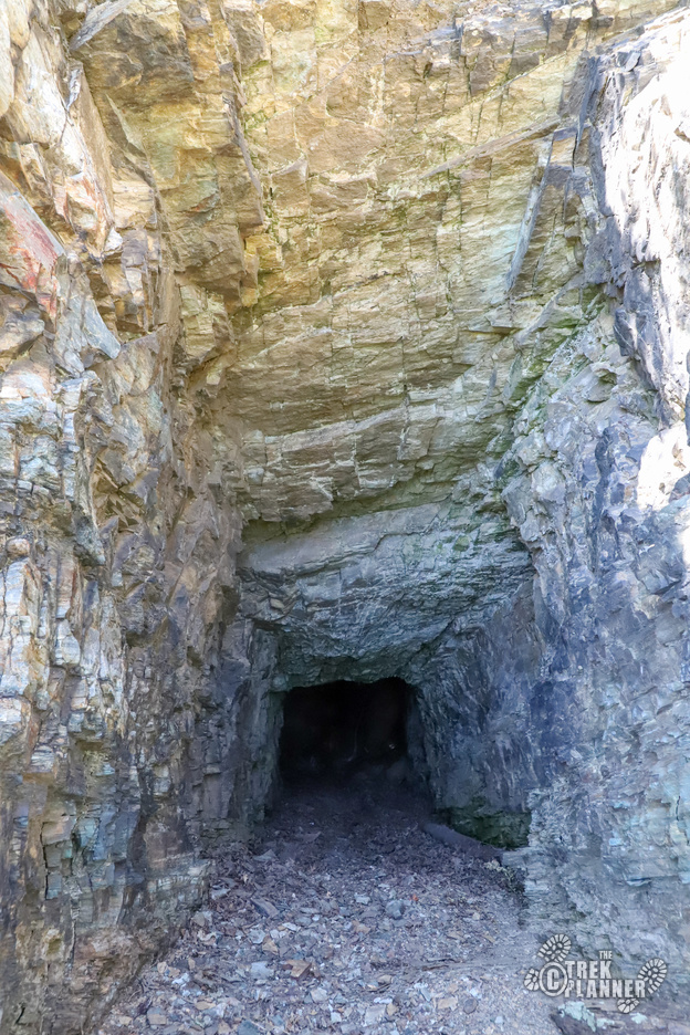
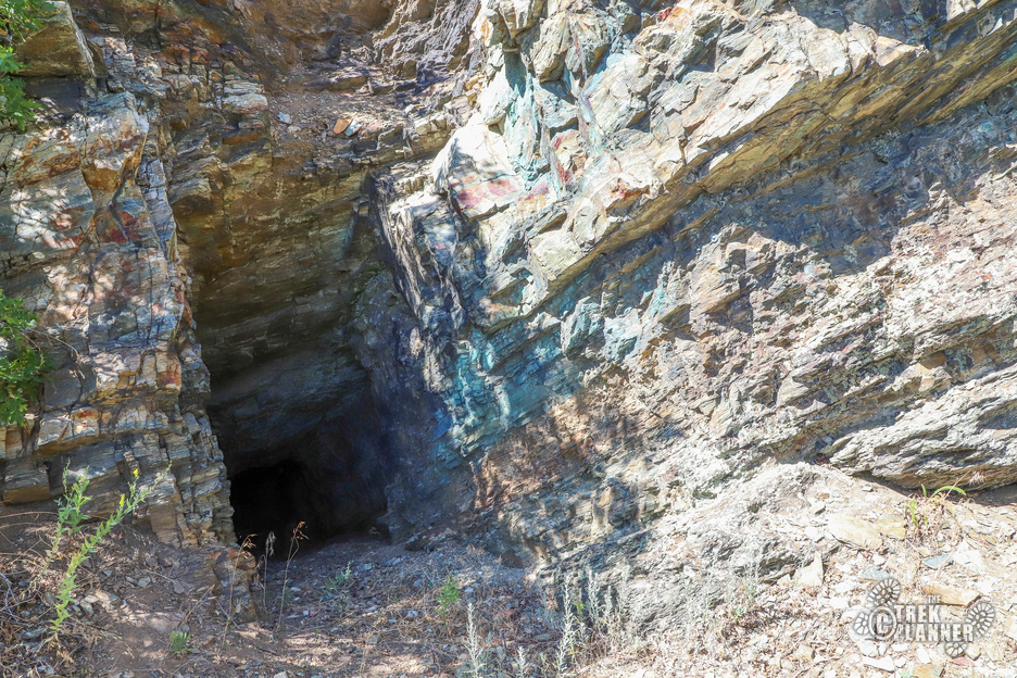
These mines are small. In fact Fernwood Mine 1 is so small, you may not even realize this was a mine. It only goes in about 4-5 feet and is already marked and tagged by the Utah Division of Natural Resources (DNR). You can see some blue oxidized copper at this mine.
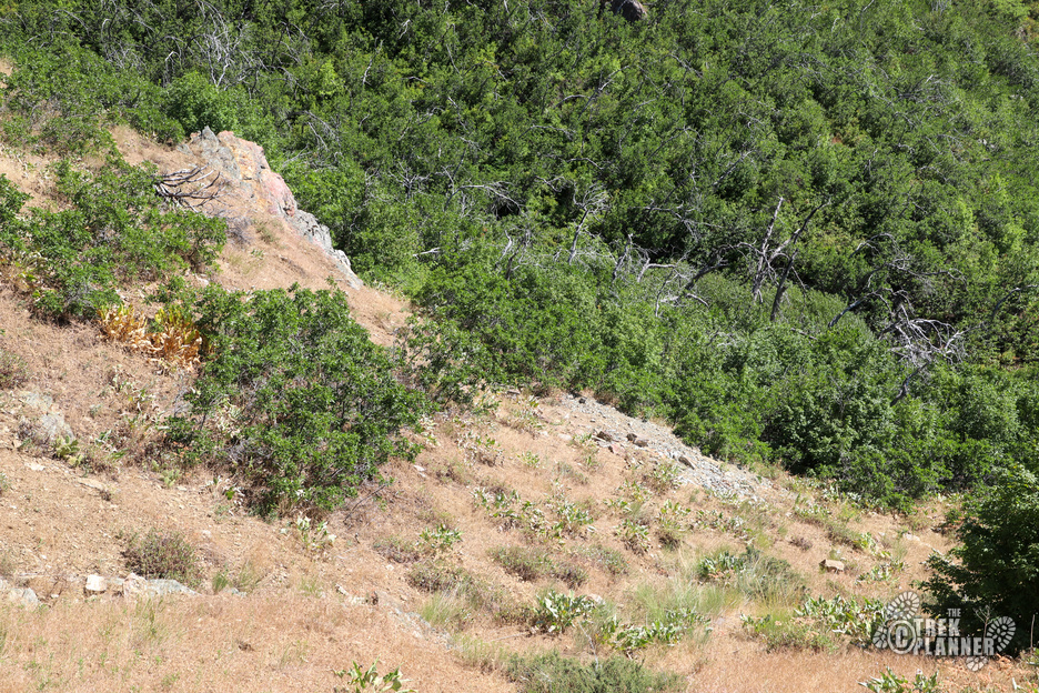
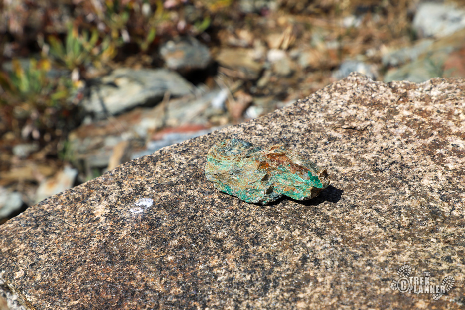
Anyway, you can still find some mining relics around the area if you look close enough. If I had to guess, I would say that copper and gold were mined at both mines. Again, these mines are very small and obviously the miners didn’t find much of anything. Most mines in this area are copper and gold mines and were little producers.
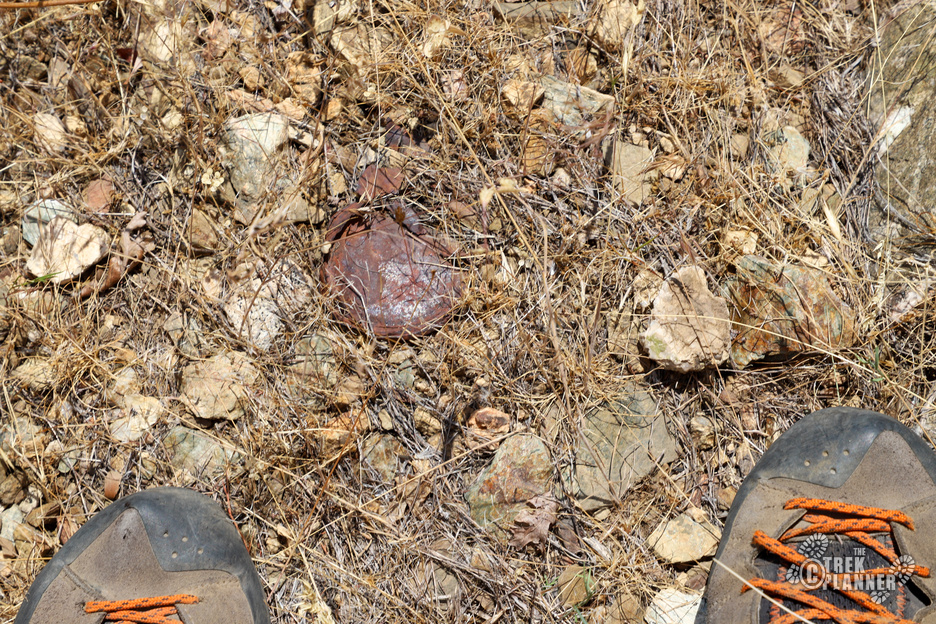
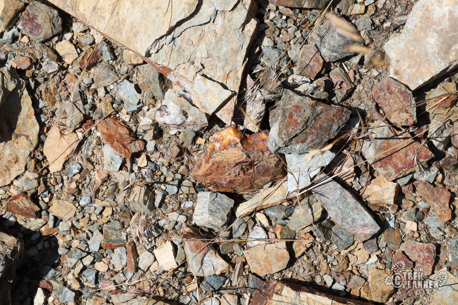
Fernwood Mine 2 was kind of neat. It was a sloping or declined shaft and then it levels out and heads north for about 25 feet. In all, this mine is about 45 feet in total length. The tailings here also showed some neat reds/oranges and even some oxidized copper can be found at the mine entrance.



Personal Thoughts
This is a fun little adventure that will take you to some neat mining history. I haven't been to this mine in a bit and I know it was on the Utah DNR's radar for a while, so it might be closed already.

