The Trek Details
The Trek in a snapshot
Southeastern, Utah
Unknown
Allowed
None
None
Not allowed
Good dirt trail leading to the mine
Fern Mine, Archangel Valley
Bring a bottle of water if needed
Summer or early fall. Spring will still have lots of snow and you will pass by many of the mining artifacts
We hiked about 1/4 mile roundtrip
30 minutes
3200 ft
3288 ft
3288 ft

Trail Map is for Trek Planner Insiders only
This content is locked
(memberships are currently unavailable)
GPS Coordinates are for Trek Planner Insiders only
This content is locked
(memberships are currently unavailable)

The Trail
Follow along on our adventure then go out on your own!


Note: I was driving a low-clearance vehicle during this adventure so we could only go so far in it. If you have a high-clearance vehicle you may get closer, but I put the GPS coordinates for the trailhead right where we stopped. This puts you at less than 1500 ft from the mine entrance.
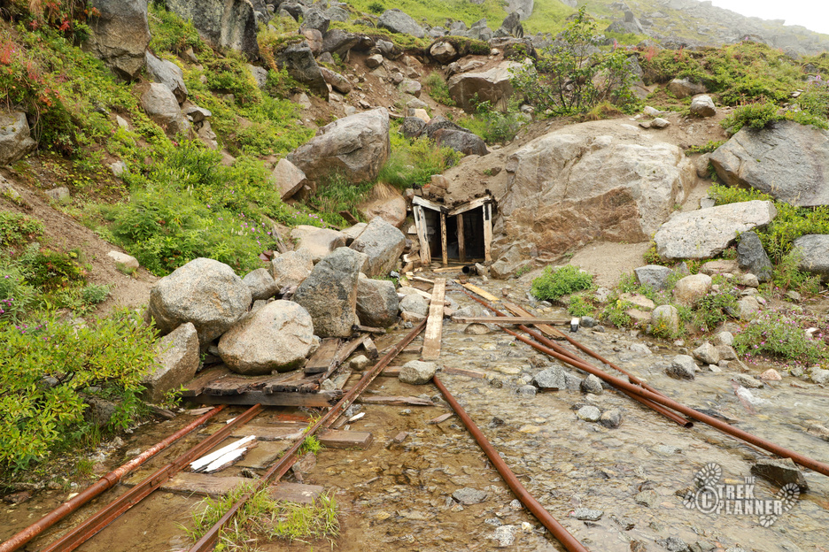
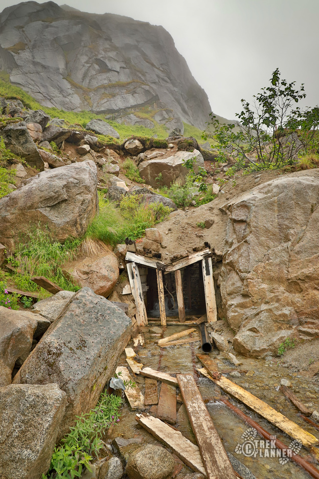
According to the USGS website on the Fern Mine, the mine was the 4th largest gold producer in the area with about 44,000 ounces. It seems the mining began around 1919 and operated intermittently and then finally stopped sometime in the early 1950s. There are over 3,000 ft of underground workings with multiple levels. The mine is now gated but a good amount of water comes out of it still.
For more reading on the Fern Mine: https://mrdata.usgs.gov/ardf/show-ardf.php?ardf_num=AN005

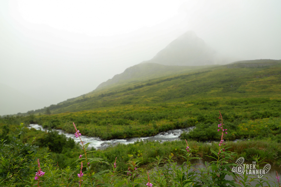
The Fern Mine is a great short adventure that shows you lots of remnants of mining history. It’s probably not worth coming all this way just for the Fern Mine unless you’re crazy like us. You can add this adventure on to a visit to the Independence Mine, Martin Mine, or the other great sites in Hatcher Pass too! That being said, the area that the Fern Mine is located is beautiful. The Archangel Valley is full of tall mountains and lots of creeks including Archangel Creek that runs down the center of the valley. Just be careful of moose and bear that frequent the area. We did see lots of signs of moose, but no bears.
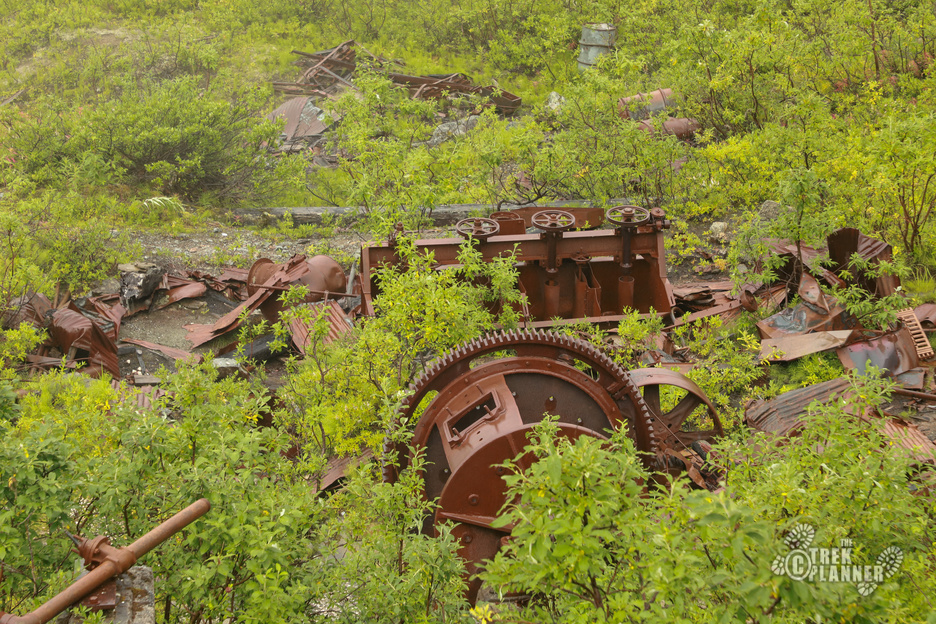
The road leading up to the mine is very rocky and if you are in a low-clearance vehicle like we were, then you will probably be driving very slow and high center a few times. We finally got tired of scrapping the bottom of my car and parked on the side of the road. We then continued hiking down the road until we discovered some mining relics and machinery. It’s all in decent condition considering it’s been laying out in the open for more than 60+ years now. Relics are scattered all over the place and are meant to be left undisturbed so others can enjoy them too so please don’t take or destroy them.
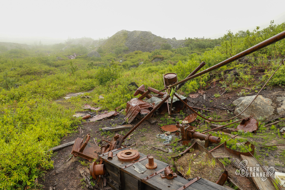
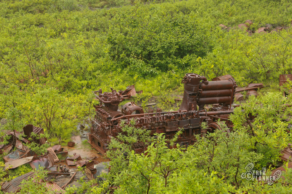
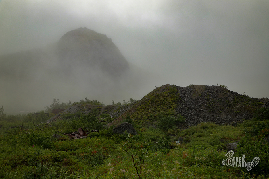
There are small creeks and streams all over so your feet may get a little wet, but we avoided most of the water. You can see the tailings pile from far away and that’s where we the main entrance to the mine is located.
The Fern Mine is gated, crumbling, and in severe disrepair. Even if there were a way inside I wouldn’t venture in. The best things about this mine are the artifacts and relics. The area has incredible scenery too, but as far as actual underground mine exploring, look elsewhere for that. This adventure is more for the relics and scenery!


Personal Thoughts
The Fern Mine was a great adventure! It would be fun to come back and explore some of the other mines in the area.
I was part of the crew that reopened the Fern Mine back up in the late 1970s. We improved the road and the wooden bridge we built is still standing under the metal decking at Archangel. I have been back to the end of the lower tunnel. Very dark, wet and very scary. It was an interesting and difficult task to build the bridge, improve the road and haul in limited equipment. Reliving history. Very rewarding.