


The Trek in a snapshot

Trek Planner Maps
Trailhead: 40° 58.919’N, 111° 52.589’W
Farmington Crag: 40.98058, -111.87145
Tracy’s Tower: 40.98088, -111.87085

Experience. Discover. Explore.
Follow along on our adventure then go out on your own!


I stumbled upon Farmington Crag when I was looking around for the Rhymney Mine. Farmington Crag is named for several large rock faces that are great for climbing. Tracy’s Tower is located a stones throw to the east of Farmington Crag.
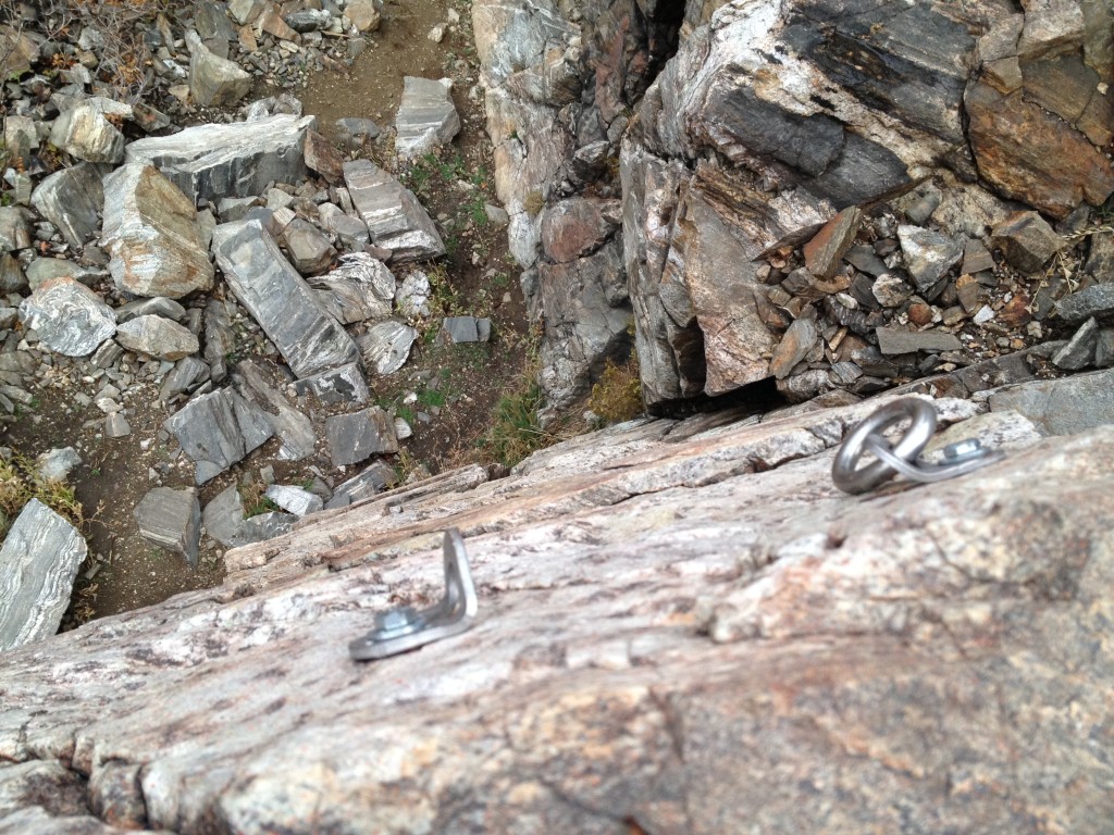
There are climbing routes that are anywhere from 20 to 70 feet high. It is an exciting place to practice climbing or your rappelling skills.
NOTE: If you do rock climb or rappel please only do so if you know what you are doing. Bring all the necessary equipment and training you have so you can have a fun and safe experience. Climb at your own risk!
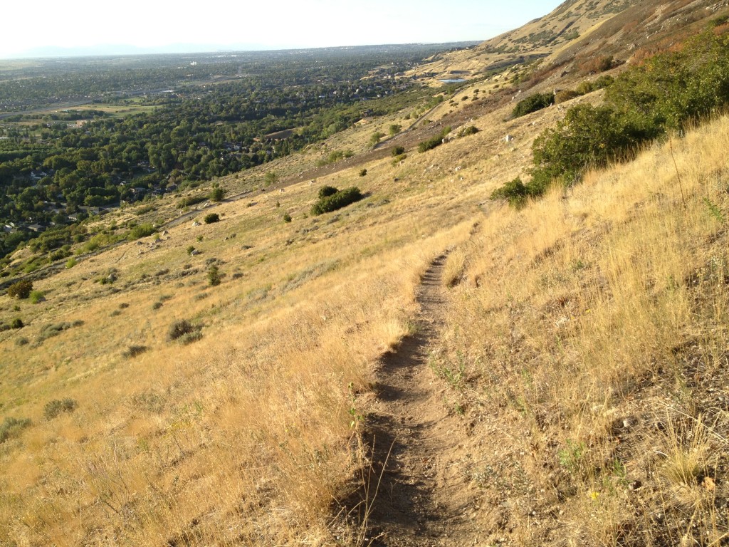
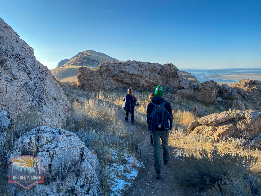
The trail is the same trail you take to get up to Patsy’s Mine. The trail is steep and narrow up until the trail junction. You will wind back and forth through many switchbacks.
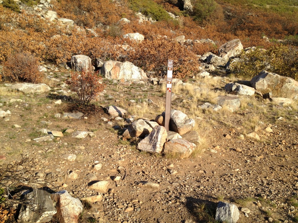
Once you come to the intersection you will see a Farmington City Trail’s sign that will point you left to Patsy’s Mine and Flag Rock or to the right to Steed Canyon.
Instead, go straight directly towards the mountainside. You will see a vague path at first for about 40 feet until you see a cairn of rocks.
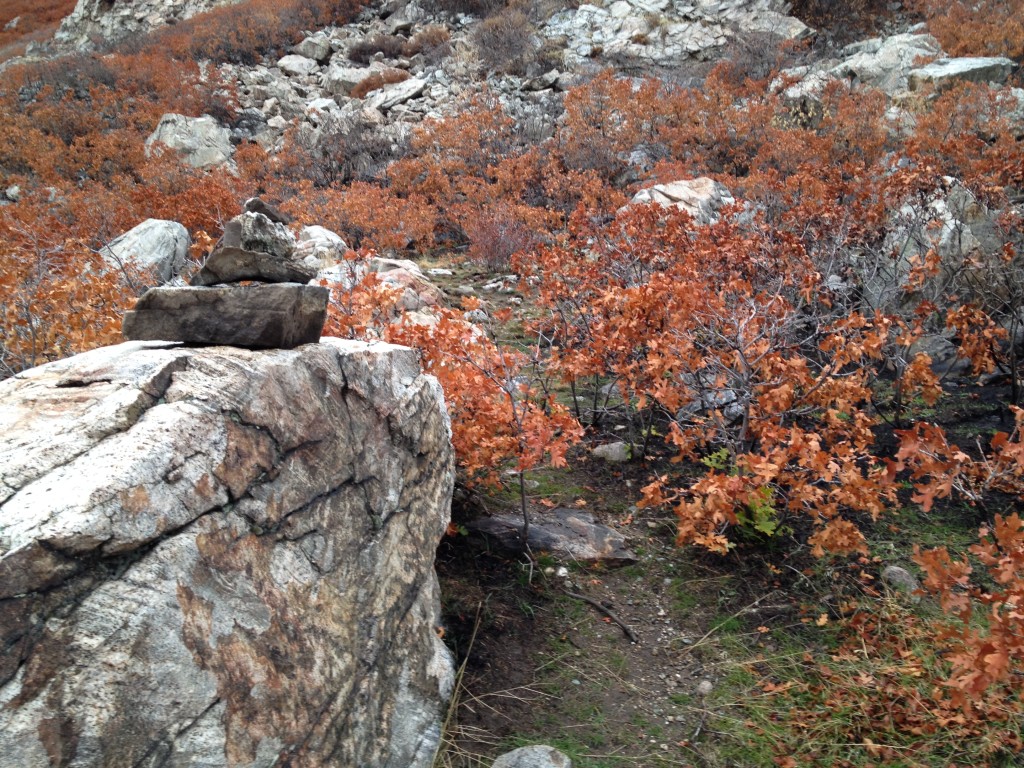
- The cairn of rocks
Here is what the cairn looks like. Follow the trail to the right and you will be winding around a very narrow trail to Farmington Crag and Tracy’s Tower.
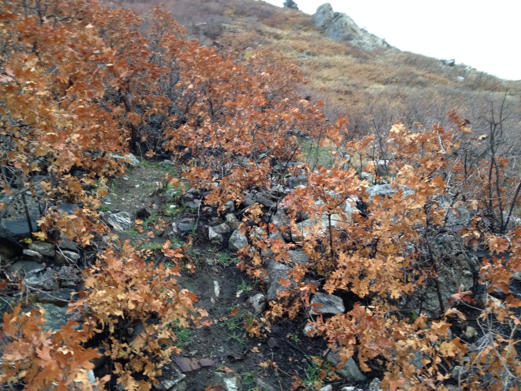
Once you are on the trail you will wind around for a little ways close to a small gully. Farmington Crag really isn’t that much farther.
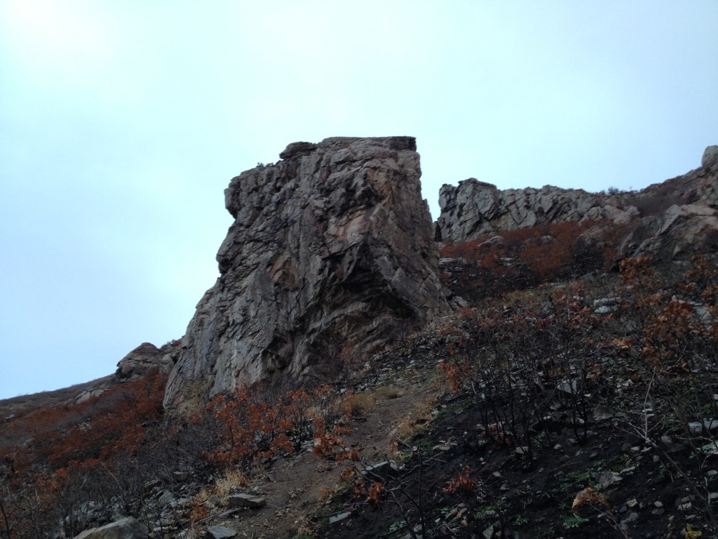
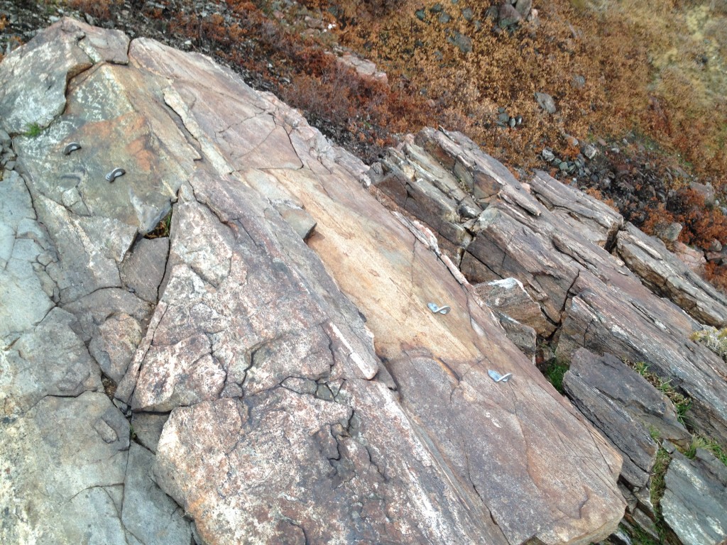
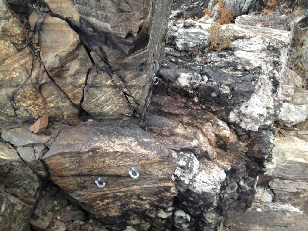
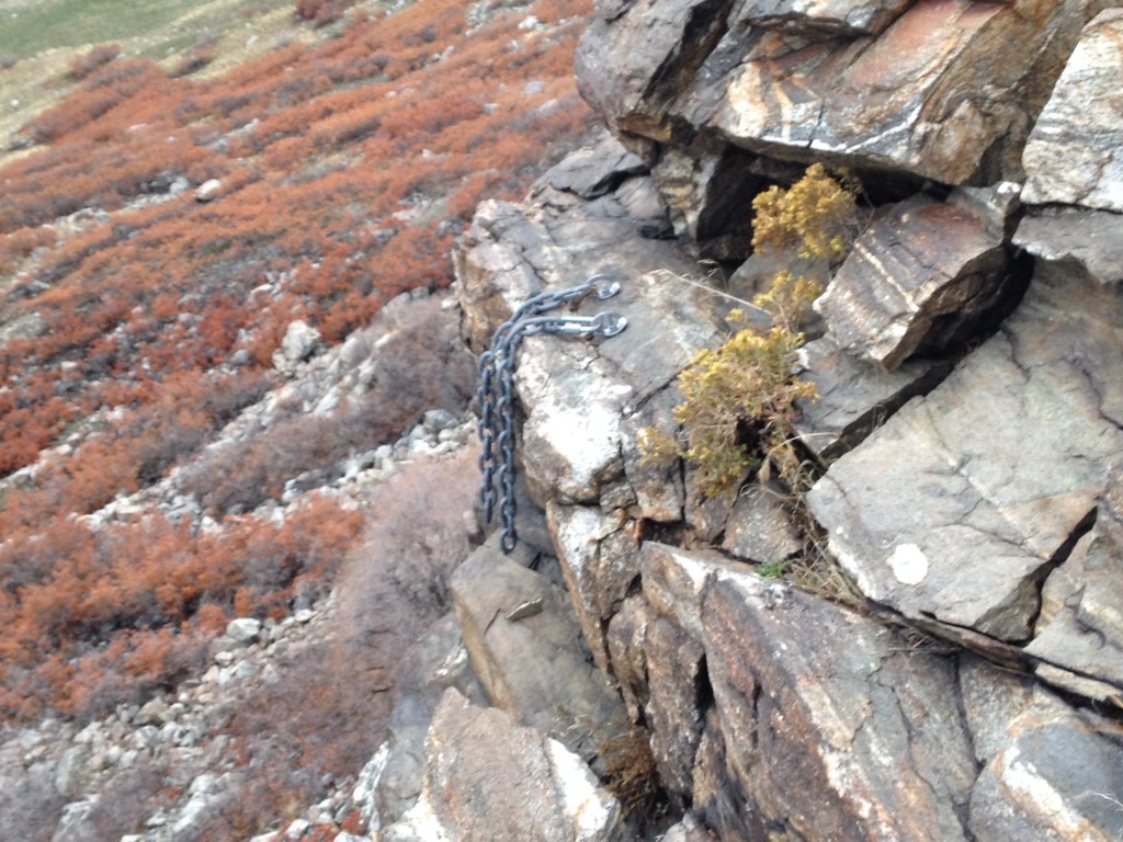
You can see that Farmington Crag is a very large rock face. If you walk around it, just look up on the rock and you will see all the bolts and anchors all over it. I haven’t officially measured but I think the highest climbing route is probably over 75 feet high.
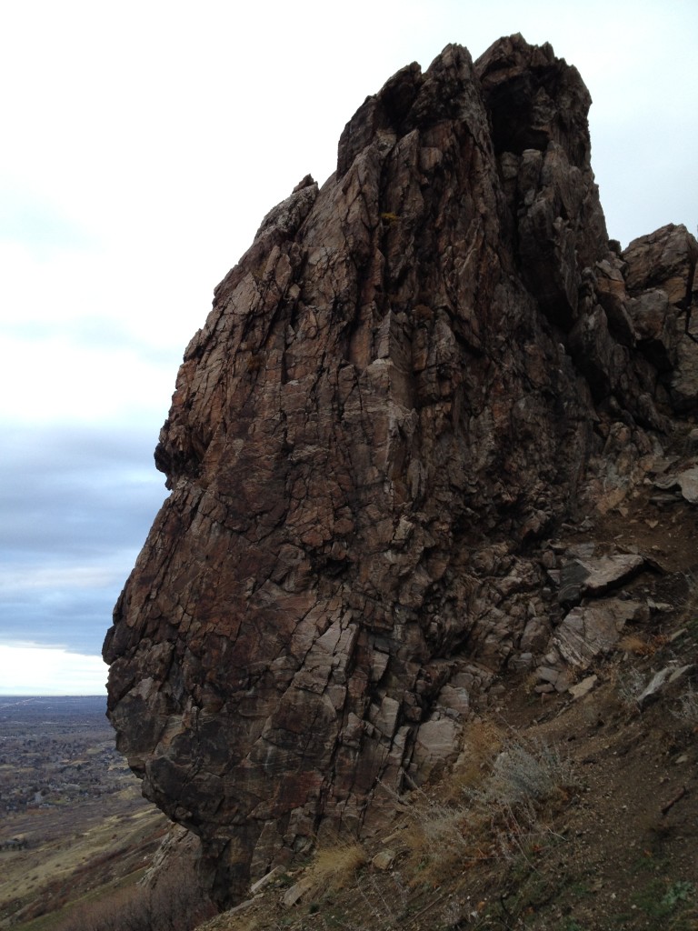
There are routes where the rock is straight up and down and there are other parts where the rock is slanted somewhat.
To get to the top of Farmington Crag, simply follow the trail up around the east side of it and there is an easy spot where you can climb on top and survey the area.
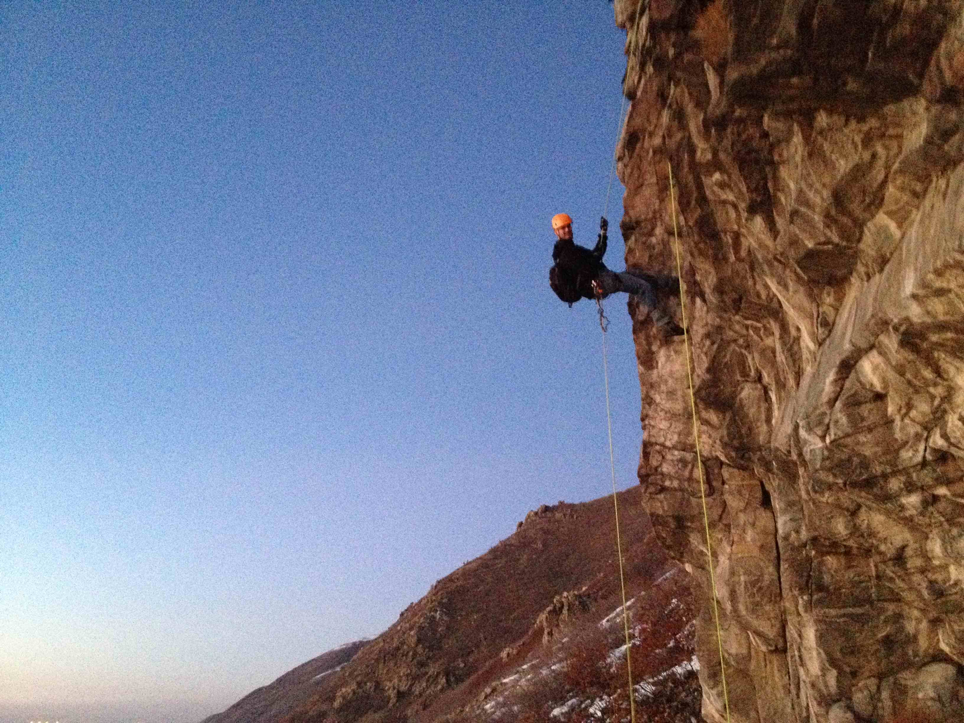
My brother, a few friends and I went up on a warmer than usual winter day and hiked up to Farmington Crag to try and see how the rappels were going to be.
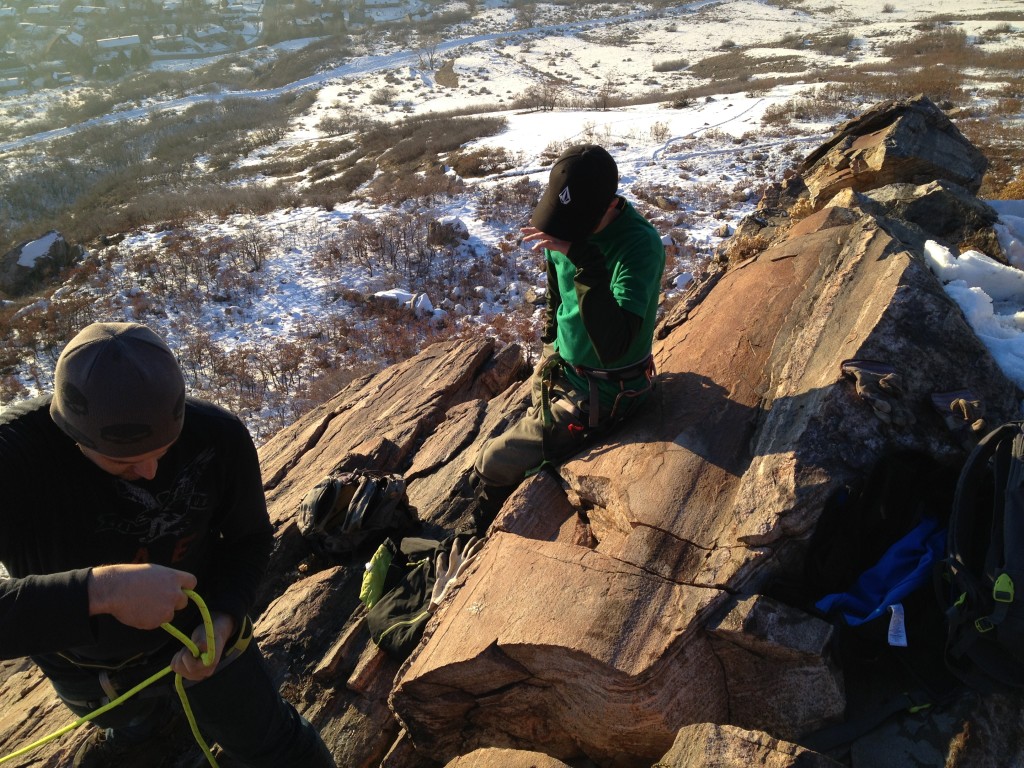
We brought a 200 foot rope so we could do tandem rappels.
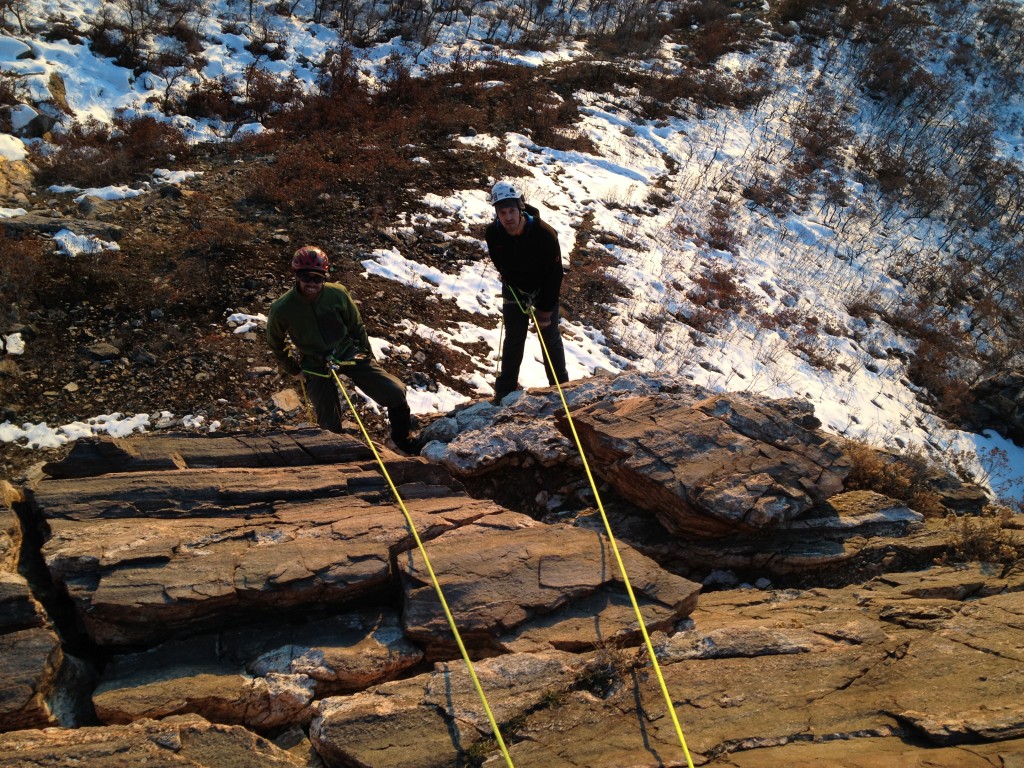
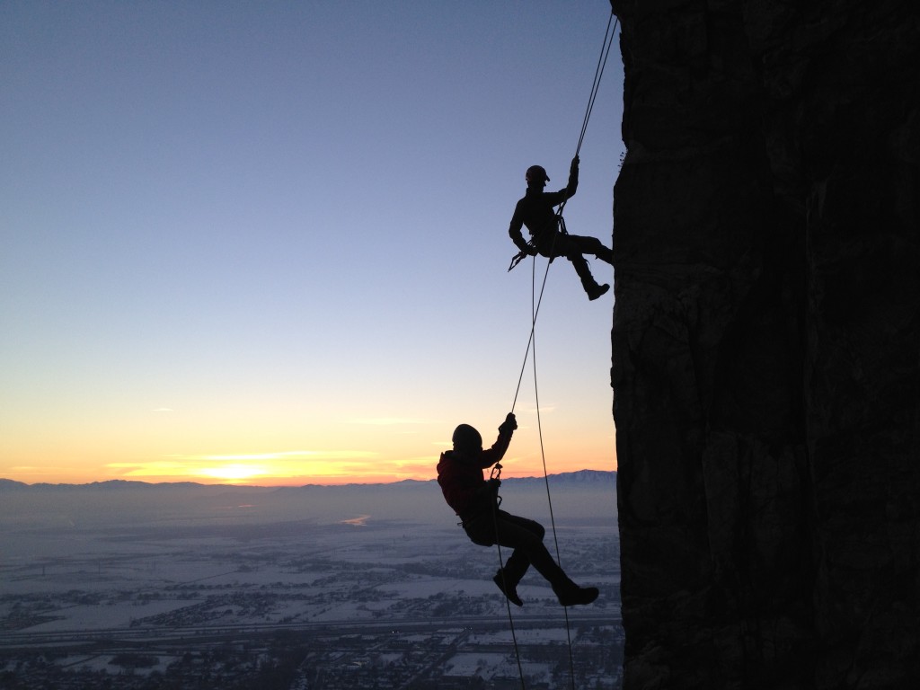

We wanted to try climbing but when we got finished rappelling we were already pretty tired and by that time the sun was already set and it was cold. We will have to come back but we all had a good time and enjoyed the easy rappels. There are routes on Tracy’s Tower to the east of Farmington Crag, but we didn’t get a chance to test those out.

Personal Thoughts
This area in general is really cool. Patsy's Mine is to the north and Steed and Hornet Canyons are just to the south of here so after you are done climbing you can take a hike over to the mines.


[…] more mining history at the Rhymney Mine. If you enjoy rock climbing then you should check out Farmington Crag which is just around the […]