
The Trek in a snapshot

Trek Planner Maps
This content is locked
(memberships are currently unavailable)
This content is locked
(memberships are currently unavailable)

Experience. Discover. Explore.
Follow along on our adventure then go out on your own!


This is a great adventure that takes you to several ancient petroglyph panels. I would rate this in between easy and moderate difficulties, because of the minor route finding required to get to the rock art. You can always just download my maps and use my GPS coordinates to aid you.
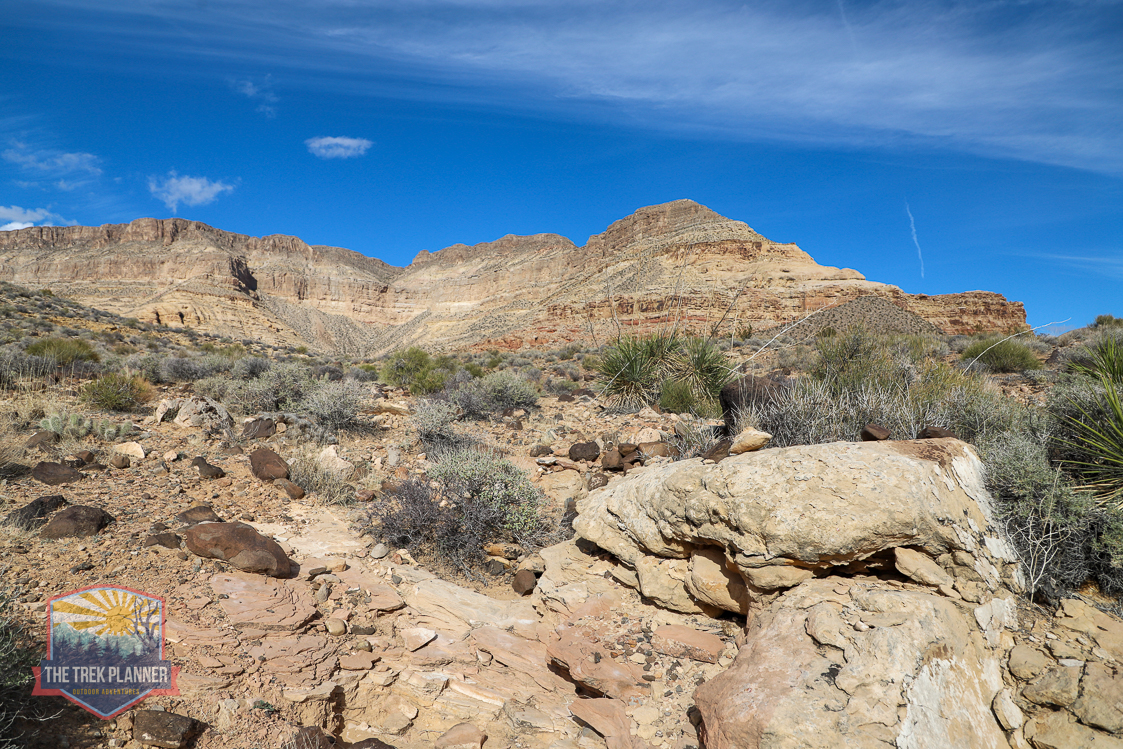
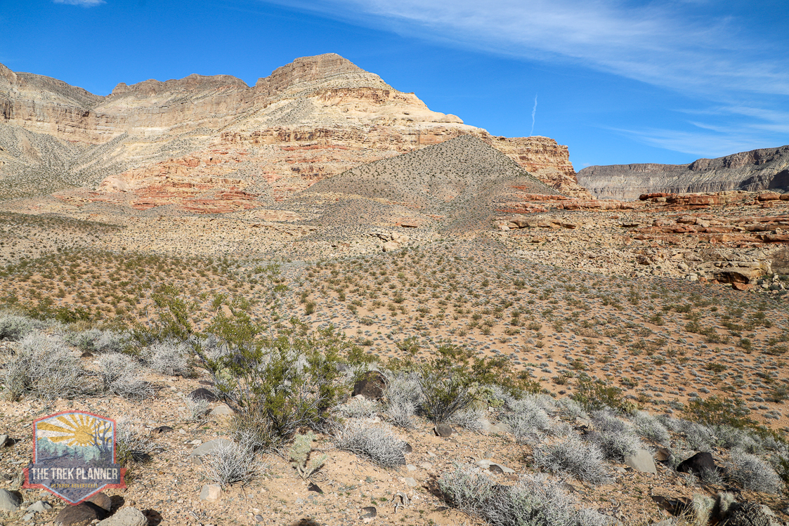
You will begin this adventure by pulling over off the side of I-15. This is the most dangerous part of this adventure. I would suggest pulling as far over as possible to give plenty of room between you and the vehicles going 80+ MPH. Make sure to keep an eye on your pets and kids if they are tagging along.
About 40 ft. from where I parked, there is a BLM barbed wire fence that doesn’t have gates. There is one spot that has enough clearance at the bottom so you can slide underneath to get through it. Just be careful of the barbed wire!
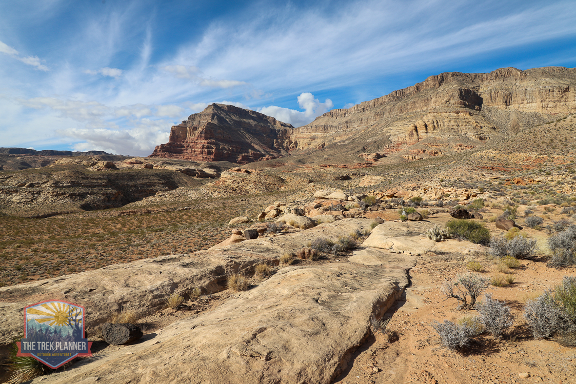
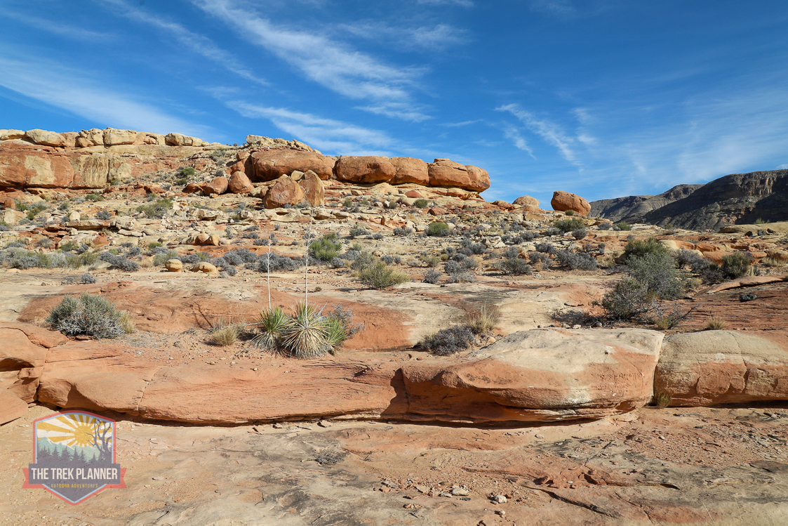
After passing through the gate, I just made a straight line towards the sandstone bluff on my right side. It’s easy hiking from here, just make sure you don’t step on cactus, plant life, and cryptobiotic soil.
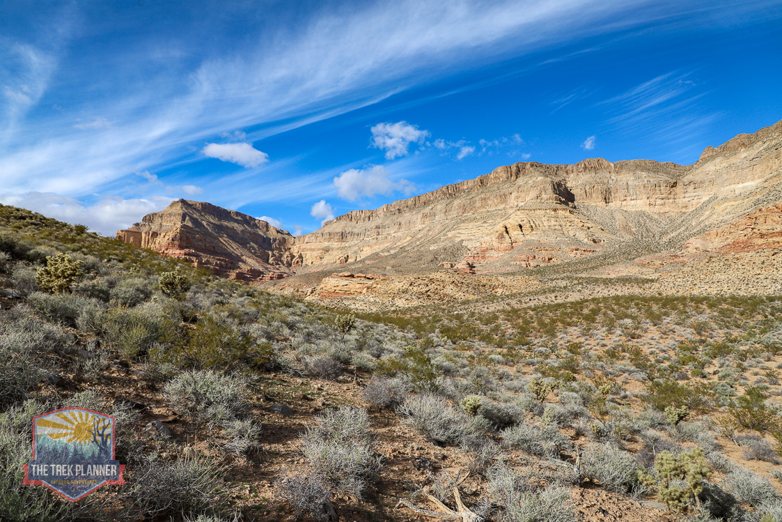


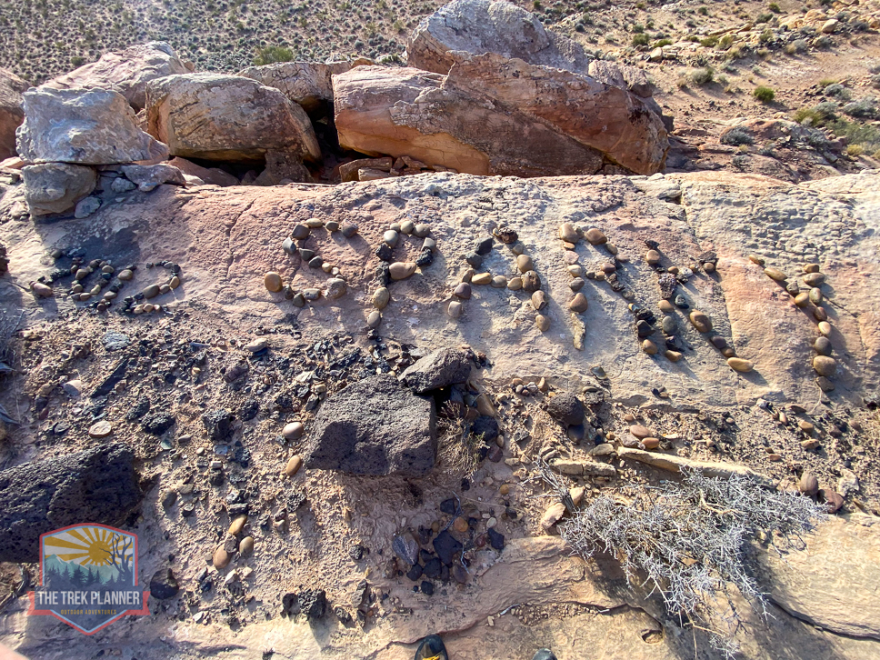
Once at the base of the bluff, hike up until you see a bunch of large black rocks. I saw a bunch of odd things including a small rock circle. Someone made words saying “2012 SPARKY” out of rocks. Is this a memorial site of someone’s pet? Or were their ashes scattered here? It’s unclear, but near this spot are the first group of petroglyphs in my GPS coordinates.
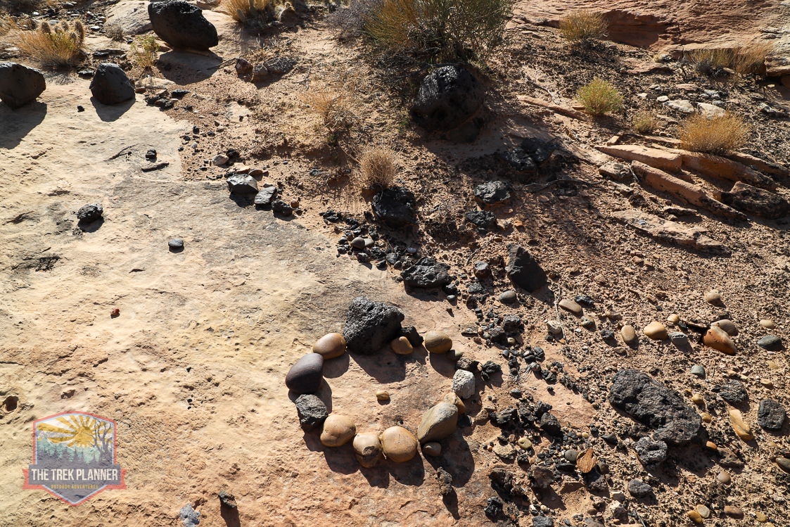
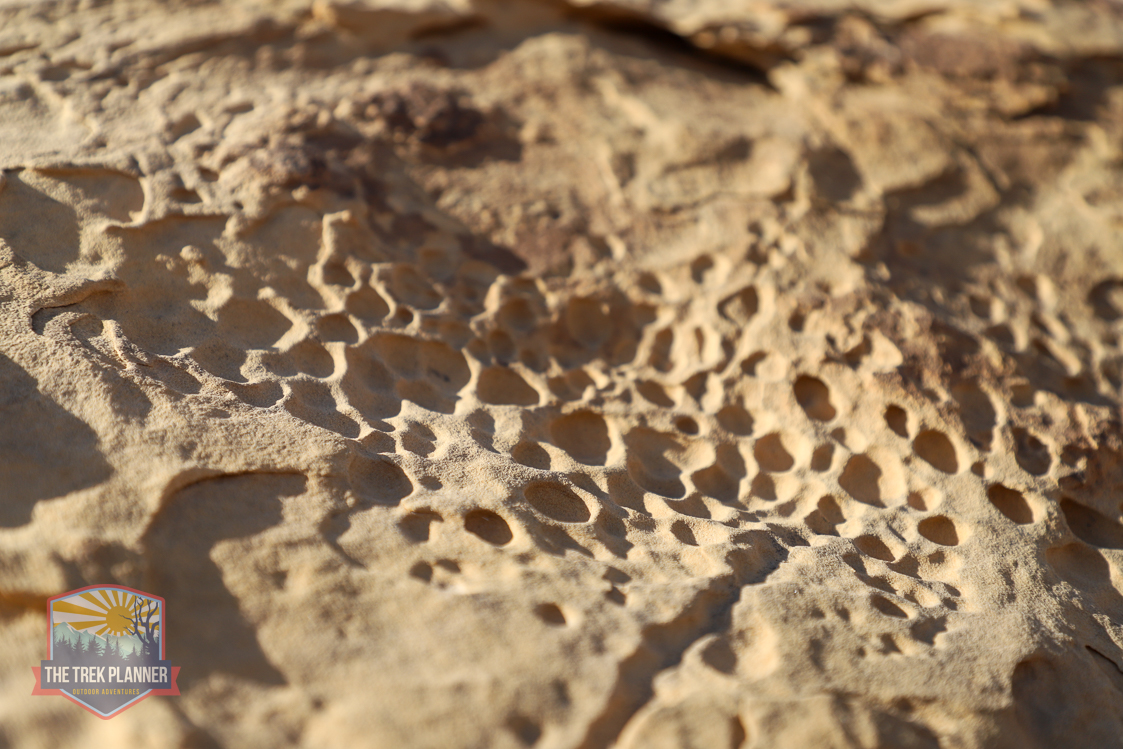

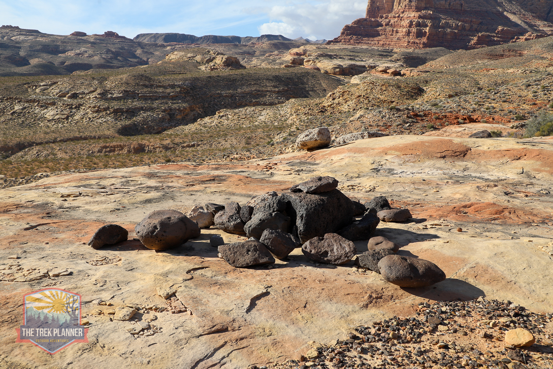
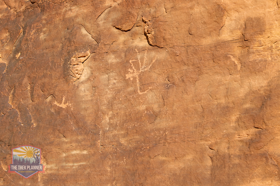
On the other side of the petroglyphs I found this rock circle. It doesn’t appear to be a habitation circle. Any ideas on what it could be?
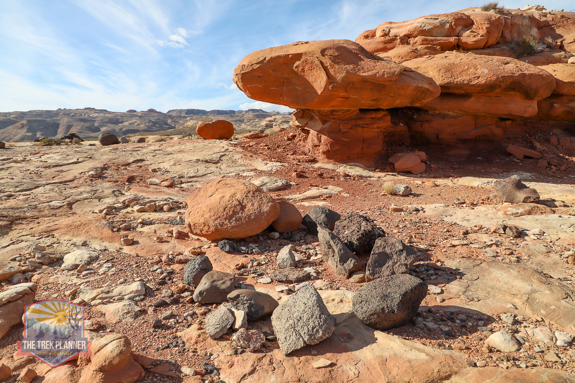 From here, I followed what I think is a game trail to what I call the Petroglyph Boulder. I had to do some very minor route finding, but eventually I made it to the boulder without issue.
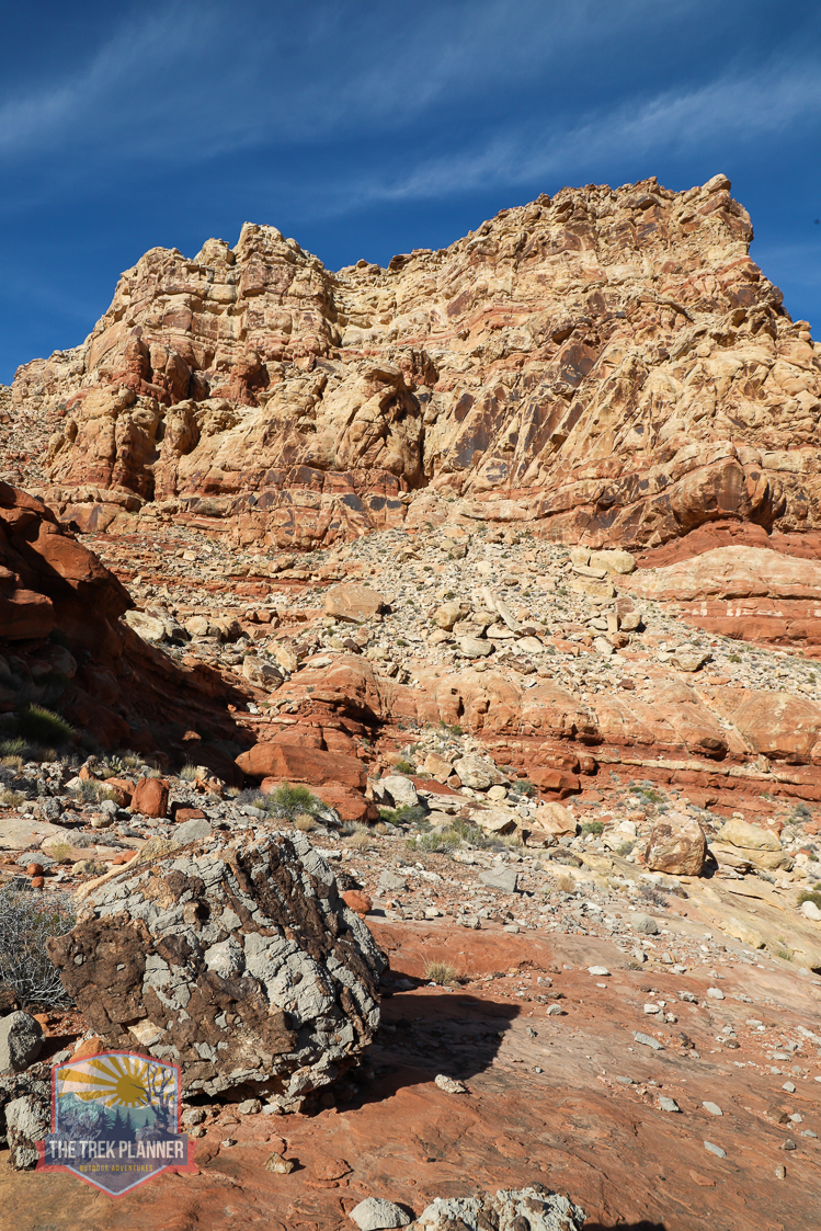
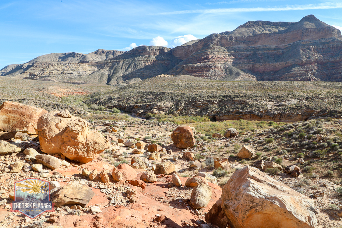
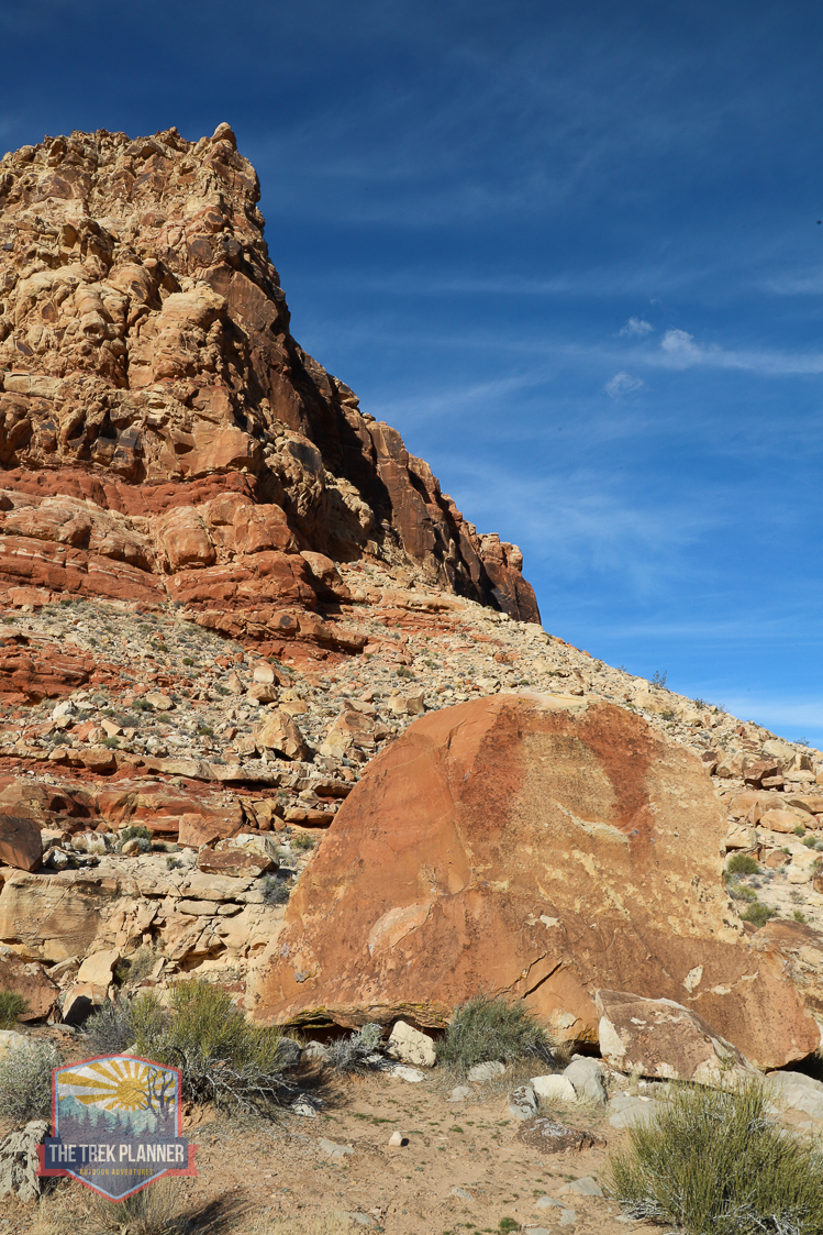
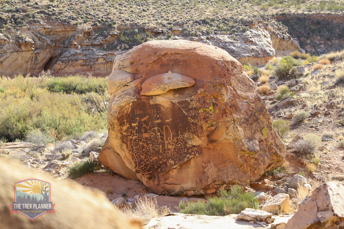
The boulder has some amazing petroglyphs! They don’t face the river, so it would be easy for other hikers to miss out on these if they didn’t know they were here. You can see the classic big horn sheep, anthropomorphs, zigzags, concentric circles, a figure with a bow and arrow, and more. Lot’s going on here! Someone named Ide, visited this spot in Feb of 1876. Remember to never touch the petroglyphs and don’t carve on the rocks. This is an important archaeological site.
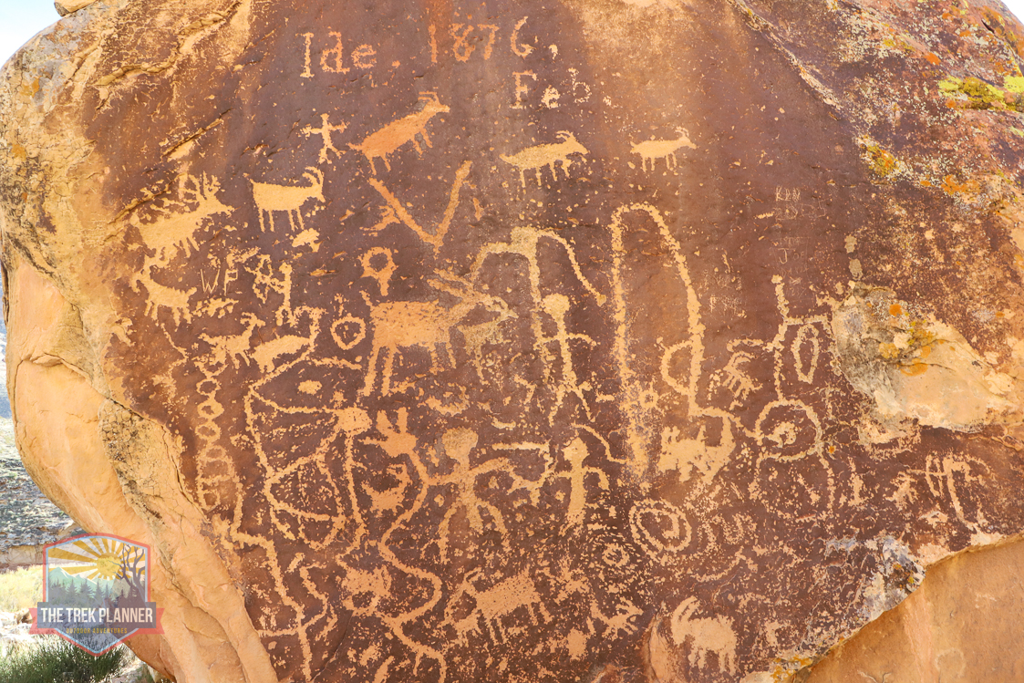
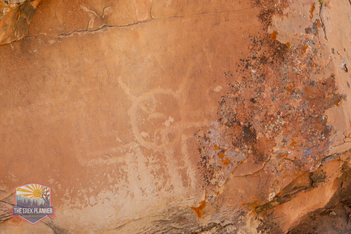
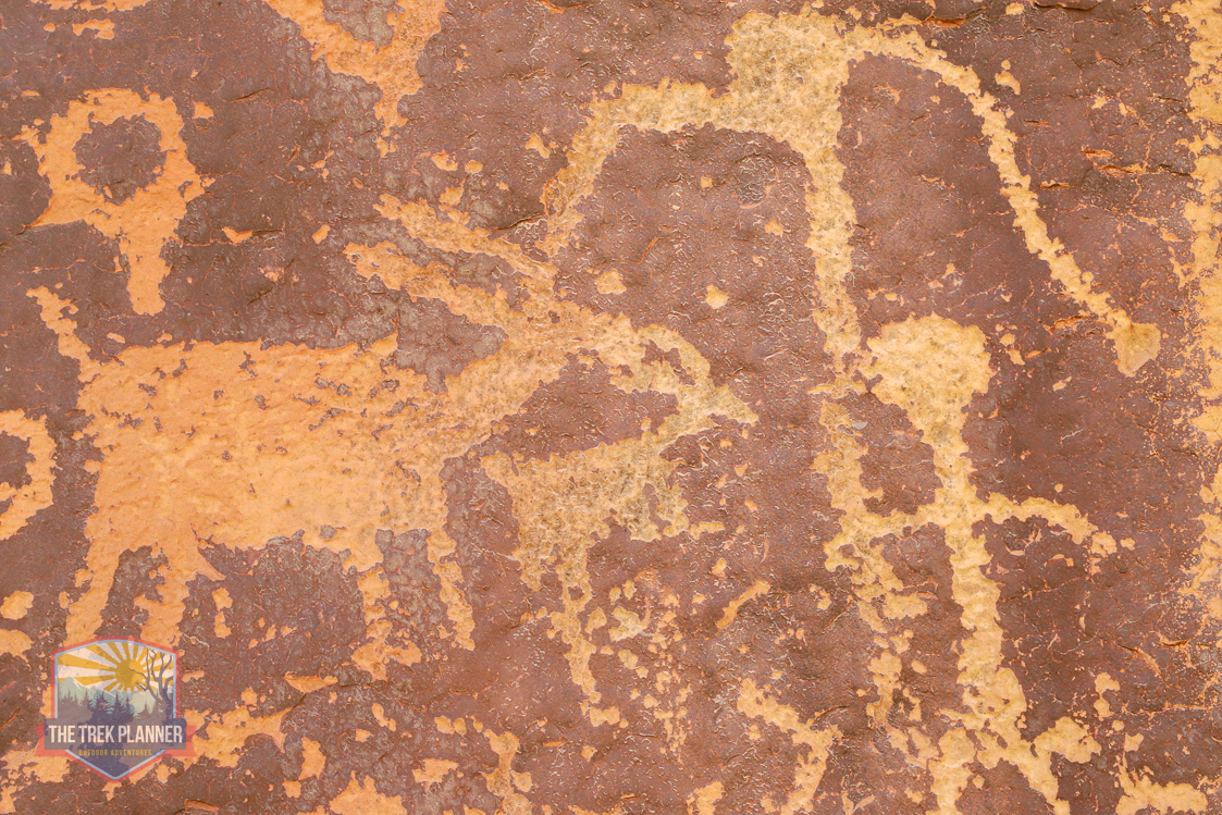

There are some lines carved on a nearby rock too so make sure to check those out.
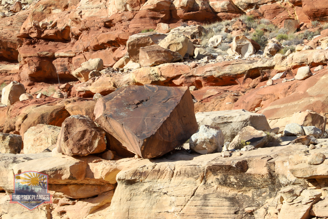
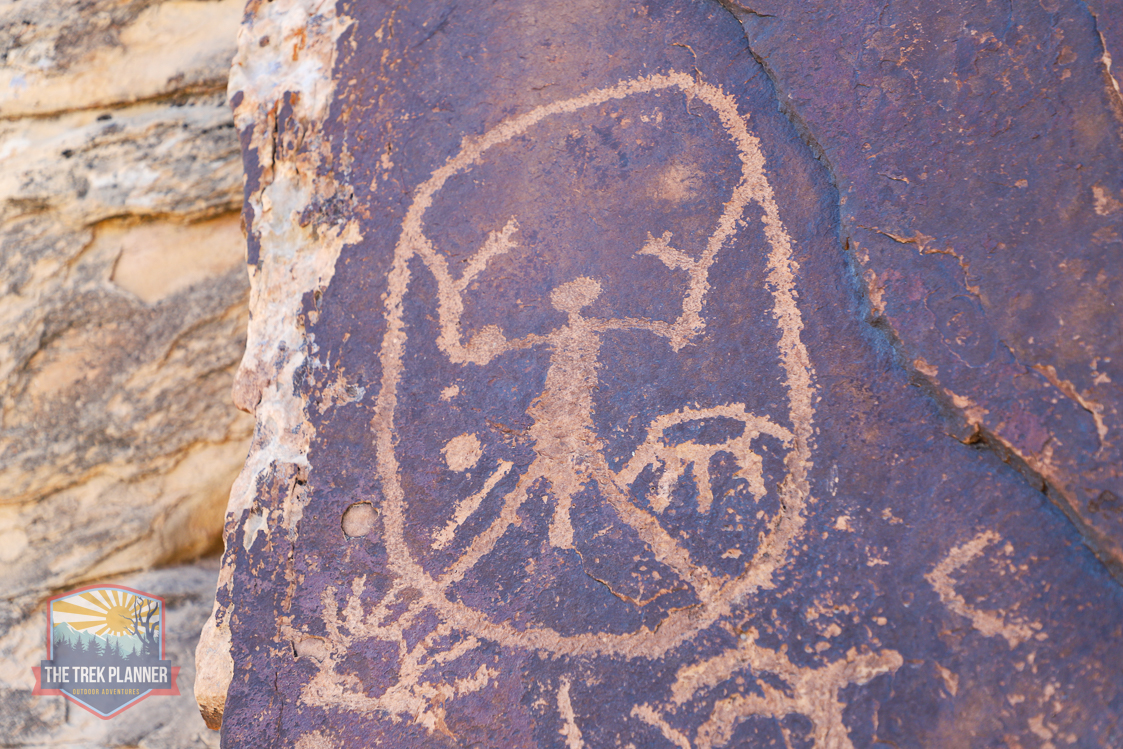
A little ways from here is the Da Vinci Panel. It’s located on a thin slab of rock overlooking the river. Some people call it the Da Vinci Panel because there is a figure that resembles the Vitruvian Man, which was a drawing created by Leonardo Da Vinci. Of course, we have no context or meaning to these petroglyphs. We only know that this was an important place and that the original authors intended this panel to be seen from the river. On this panel are more big horn sheep and other symbols.
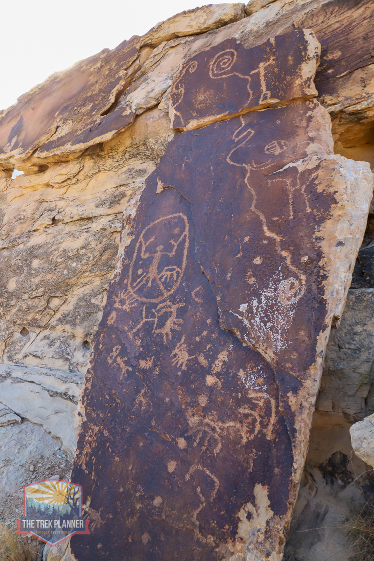
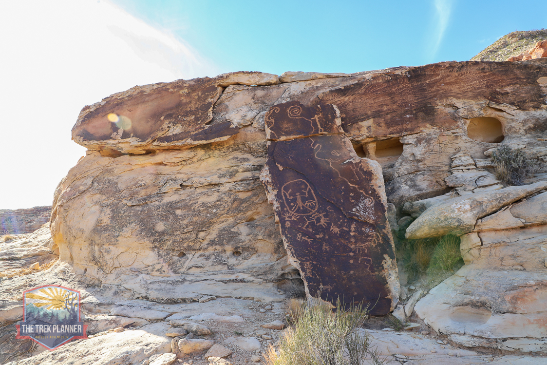

I spent about 45 minutes exploring the area with my drone and didn’t find any ruins or other petroglyphs. I think if you hiked up the Virgin River, you could possibly find more rock art on the boulders along the river.

Personal Thoughts
This panel is highly recommended! The only negative about this adventure is that you park next to a busy freeway where cars are going 80+ MPH. You really need to pay attention to kids and pets while here.

I’ve been all over the world in the Navy but I never found any place as great as Arizona!!