
The Trek in a snapshot
Location
Fruit Heights Utah – Northern Utah
Managing Agency
National Forest Service
Pets
Allowed
Fees
None
Restrooms
None
Camping
Yes. Several Camping locations
Trail Condition
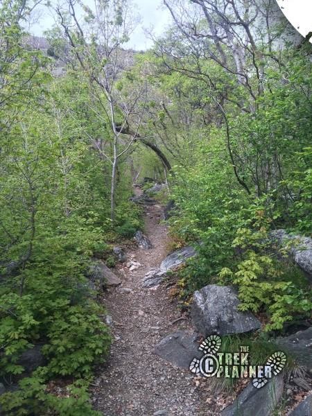
Trail starts wide on a dirt path then narrows after about 1/2 mile up from the parking lot. After you cross at the third creek crossing the trail becomes very narrow and hard to follow in some places. It gets very steep after this point
Sights
Bair Creek, Bair Canyon, radar towers, Francis Peak
Water Info
Bring 1 liter if hiking to campsite. Bring 3-4 liters if hiking all the way to the top. There is Bair Creek that runs just about the entire length of the hike.
Best Season
All
Distance
11 miles roundtrip. It’s only about 2 miles roundtrip if you hike to the main campsite.
Time Required
If you hike to the summit you could easily spend 7+ hours. If you are just hiking to the first creek crossing or campsite then it could be about 1+ hours
Parking Elevation
4873 ft
Summit Elevation
9569 ft (Francis Peak)
Elevation Difference
4687 ft

Trek Planner Maps

Trailhead: 41° 1’48.50″N, 111°53’51.06″W
Bridge: 41° 2’4.00″N, 111°53’26.25″W
Main Campsite: 41° 2’10.25″N, 111°53’15.73″W
2nd Crossing: 41° 2’10.07″N, 111°52’43.30″W
3rd Crossing: 41° 2’16.79″N, 111°52’16.95″W
Summit: 41° 1’59.11″N, 111°50’18.11″W

Experience. Discover. Explore.
Follow along on our adventure then go out on your own!


You will be following Bair Creek [Not Baer] for the majority of the hike. You will be enveloped in different types of trees and bushes.The canyon is popular on the weekends. It is a very, very long hike towards the top of Francis Peak and not for everybody. The last mile or so of the trail are steep switchbacks but the end is rewarding.
[It turns out we have been duped by local misspelling. It is actually Bair Canyon. The local news even ran a story on it.]
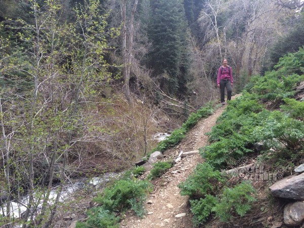
On a very windy Saturday we hiked the first part of the trail, up to the second creek crossing. The trail is in great condition, and still very lightly used. We saw one other person alone with his dog. It was my wife’s first time in the canyon and she immediately fell in love with it.
The original Trek continues below these new photos.
The mountain is super green right now. It is a perfect time to hike. The flowers are blooming and the poison ivy isn’t yet out. Perfect!
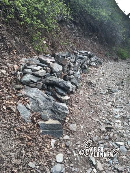
Someone has been piling up rocks in places and, I presume, clearing the trail a bit? Not sure.
After crossing the bridge, right at the first campsite there is a rock you can stand on and get a great view looking down the canyon.
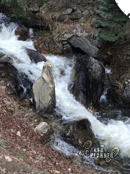
Right near the second crossing the trees are just starting to get their leaves. It is cool and shadowed in here and spring is just starting. The snow melt is raging, signaling spring has come!
And the flowers are out! The trail was lined with all kinds and colors. Pictures never do them justice (especially from a cellphone).
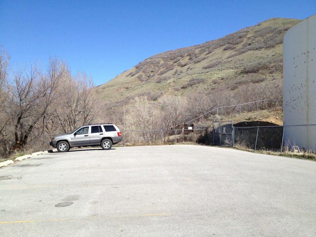
Next to the parking lot you will see a fence on the North side. There is usually a notice from the Forest service about no fires so keep that in mind if you are camping.
Once you leave the parking lot the trail immediately turns to the right (going east) straight up through the canyon. You will basically be going east the entire time as the trail winds around through the canyon area.
After a short climb passed the first section of the mountain you will see a small campsite set up with a fire pit (even though fires are not allowed) this is the first campsite area in the Bair Canyon trail.
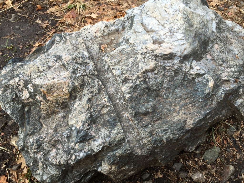
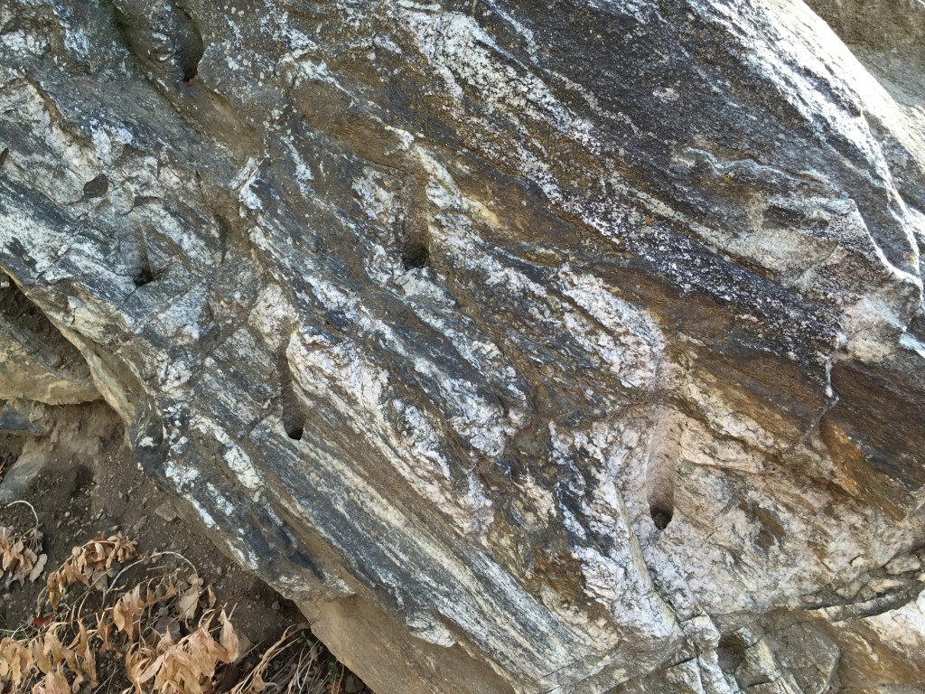
As you’re hiking, take notice to the large rocks and boulders along the trail. Many of them were cut by miners and they still show the holes where the miners would drill into the rocks. If you have a good eye you could even possibly see the old boiler hiding in the bushes. I won’t say where it is located because it is riddled with bullets and has been hit several times with rocks.
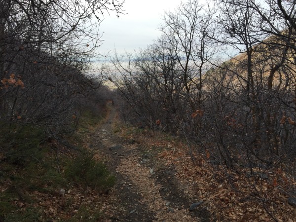
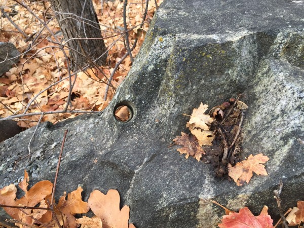
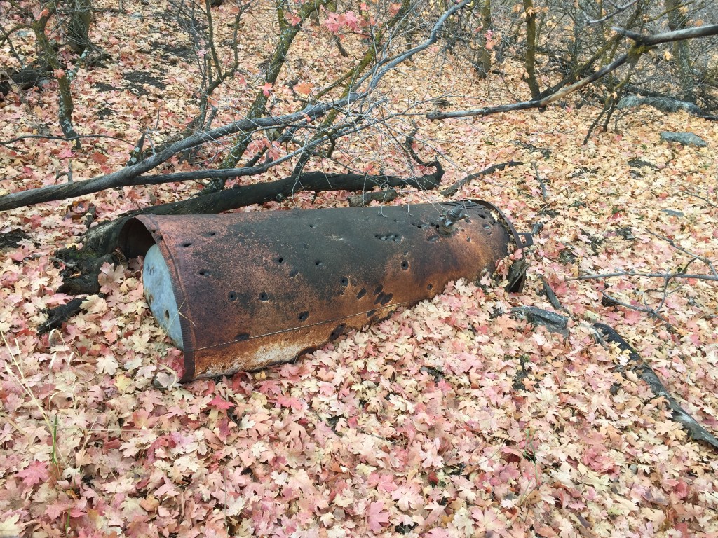
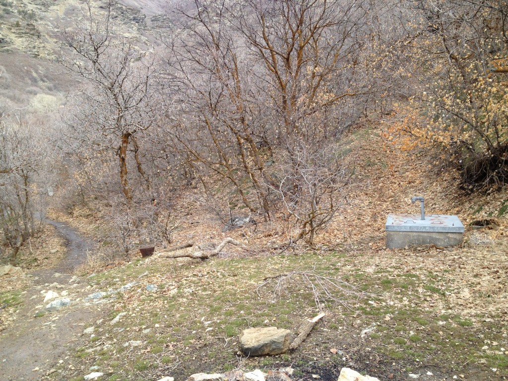
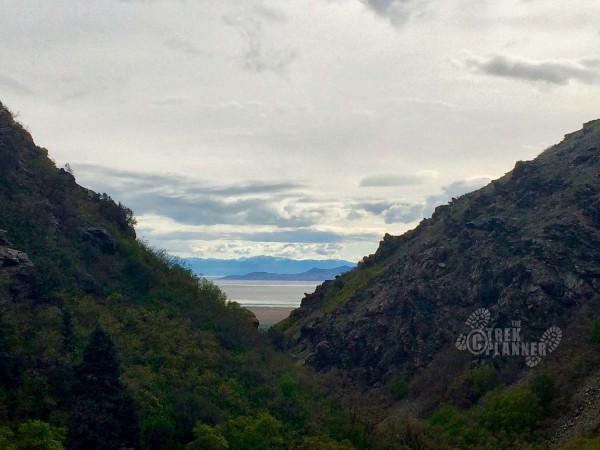
Keep going up this canyon and you will come to another small fire pit area where there is a metal box that contains water pipes. There is a trail that splits from the main path and heads right up next to the metal box (this trail leads to a great view of the canyon opening).
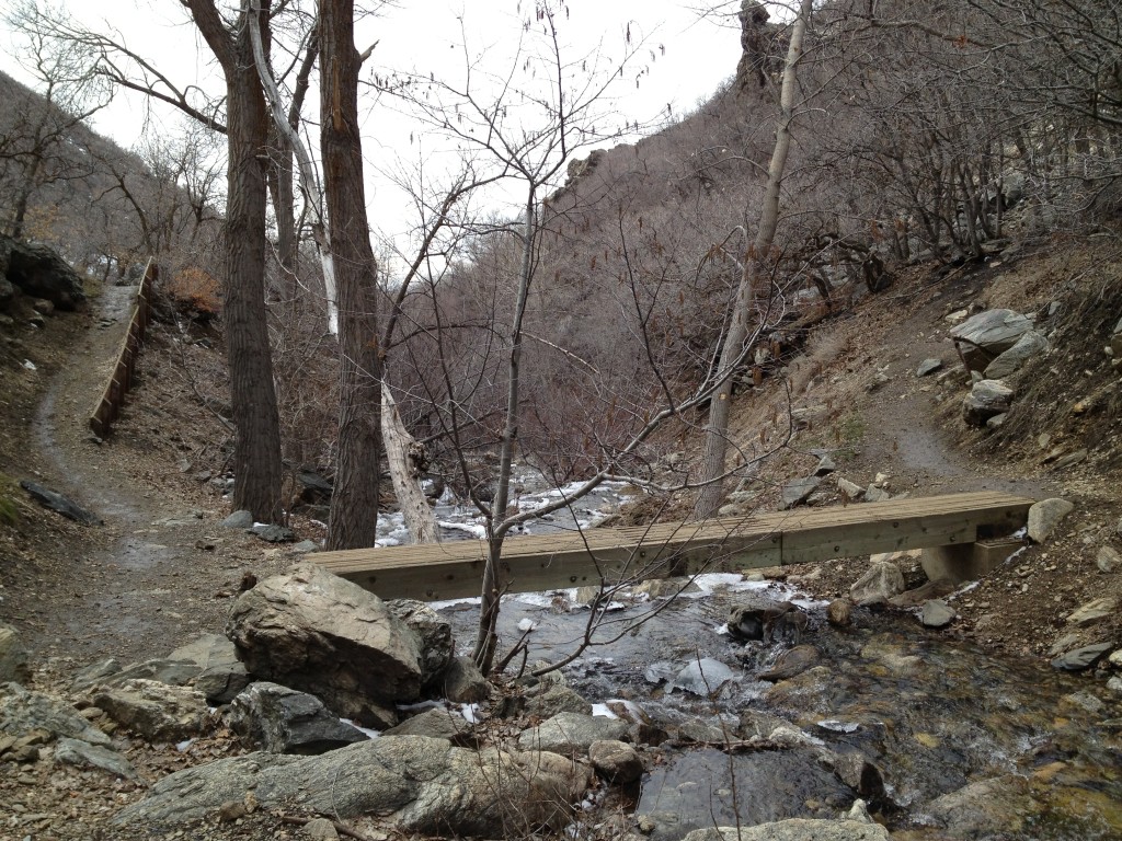
Take the left trail and keep going until you come to a wood bridge. This is known as the “first crossing”, meaning the first crossing of the creek. Before you reach the top you will have crossed the creek 2 more times for a total of 3 creek crossings.
The first crossing is the only crossing which is aided by the bridge. The other crossings you will have to cross over on rocks. But we will get to that much later.
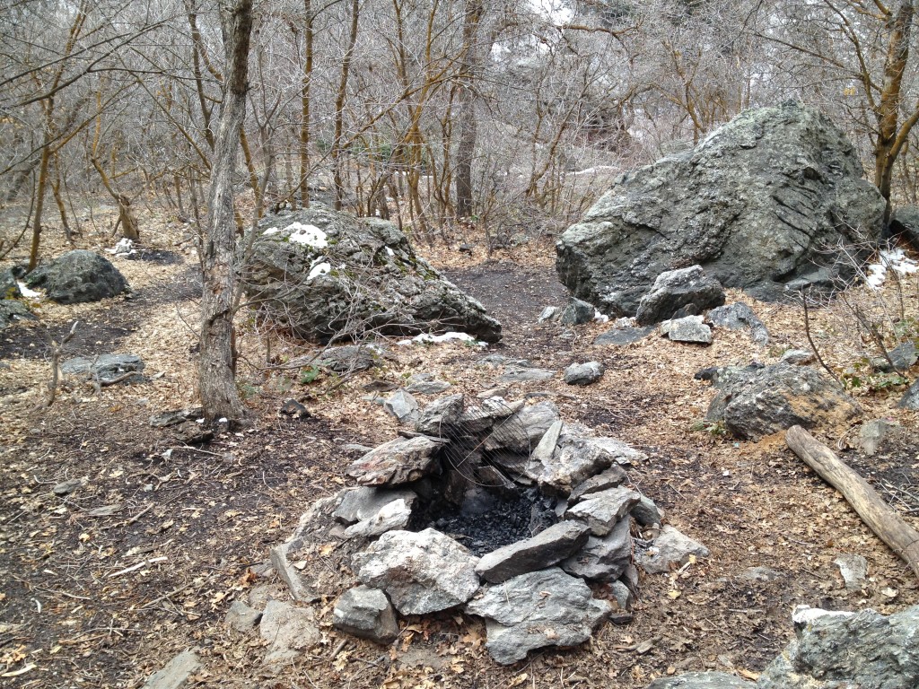
After the bridge the trail will wind back around to the right going back to the east. The trail will split but stay on the right path to continue up the canyon.
After this point the trail will keep getting narrower until the first campsite which is about another 5-10 minutes up from the first bridge
This campsite (see above picture) is the largest in the Bair Canyon area and features a few flat areas for smaller tents and even has 2 firepits. This is a great place to spend the weekend. I have personally spent many nights here as a Boy Scout and later in life as well.
The creek is directly to your south and is accessible by climbing down a steep trail which leads directly to the creek.
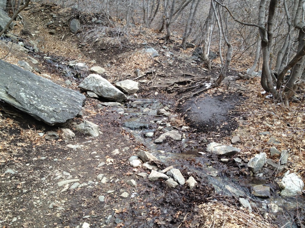
Just East of this camping site about 30 yards or so is a small stream called Snake Grass stream which is usually flowing much more in the spring than summer or fall and is also a great place to get water.
See optional Side Trek titled “Snake Grass Falls” below
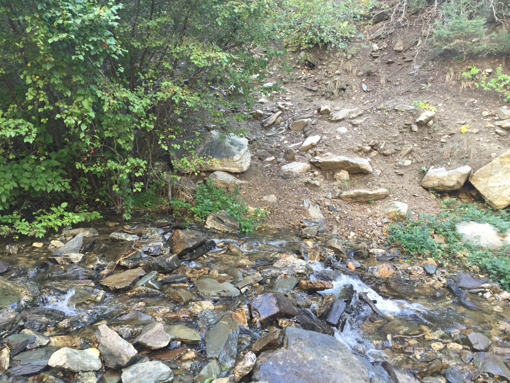
Head east of the campsite and hike until you come to the 2nd crossing about 1/3 a mile up from the campsite. There is no bridge this time but simply find some stable rocks along the creek and cross to the other side (now hiking on the north side).
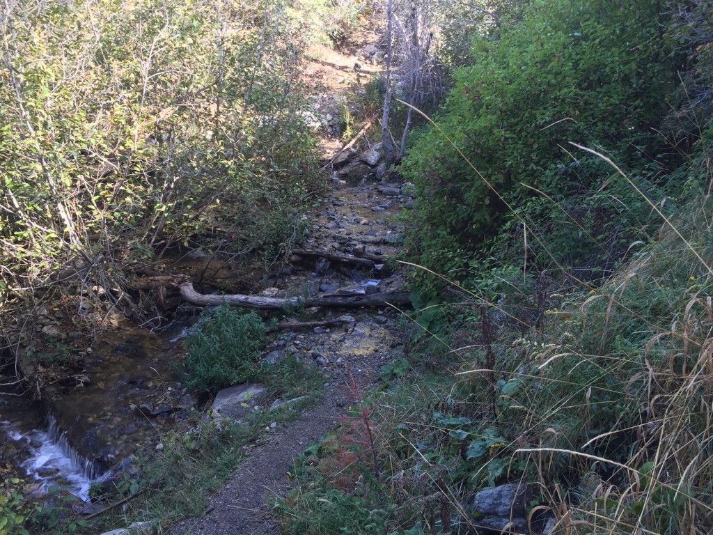
You will now be among many tall evergreen trees. The trail on this side will wind around tall trees until it opens up into a small campsite about another 1/3 mile up from the second crossing.
Just below the campsite the trail crosses the creek again at the third and final crossing (see above picture). You will not be crossing the Bair creek any longer until you return down the mountain.
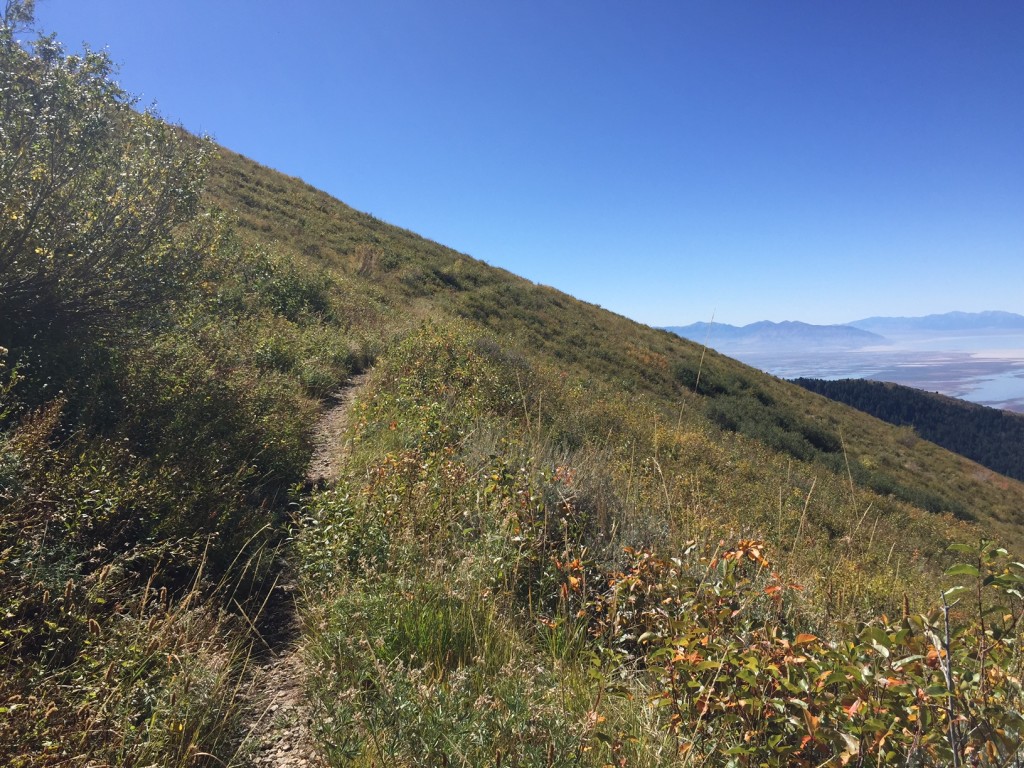
After the third creek crossing you will be going straight up the mountain until the ridge at the top. The trail is very steep and narrow in some spots and you will most likely be taking many breaks.
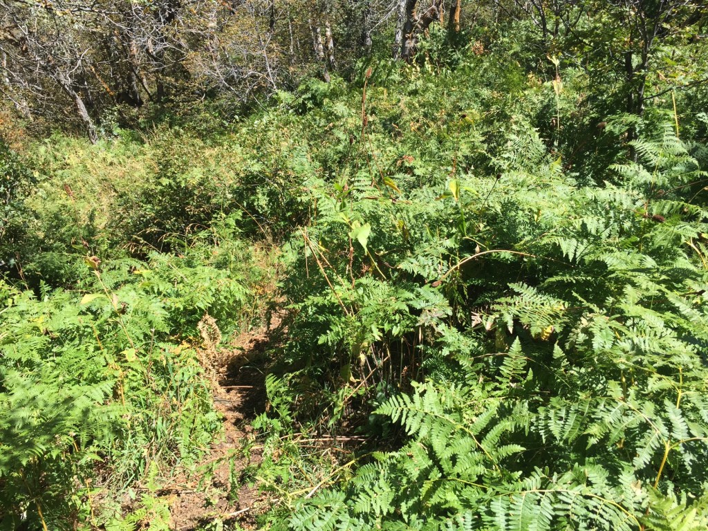
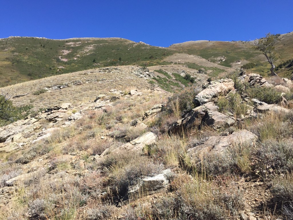
After what seems like an eternity you will reach the “fern area” with lots of, well, ferns. After about another 15 minutes of hiking you will finally break free of most of the shrubs and bushes and the trail seems to disappear.

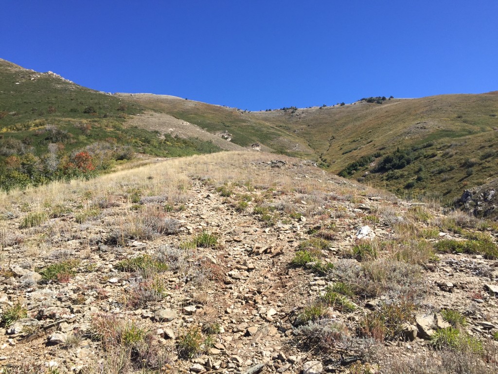
The trail at this point is even narrower and sometimes hard to see yet eventually it leads into switchbacks until the mountain ridge. The first time I climbed to the summit I did not find the switch backs until coming back down. I instead hiked straight up (literally) through a small narrow creek drainage.
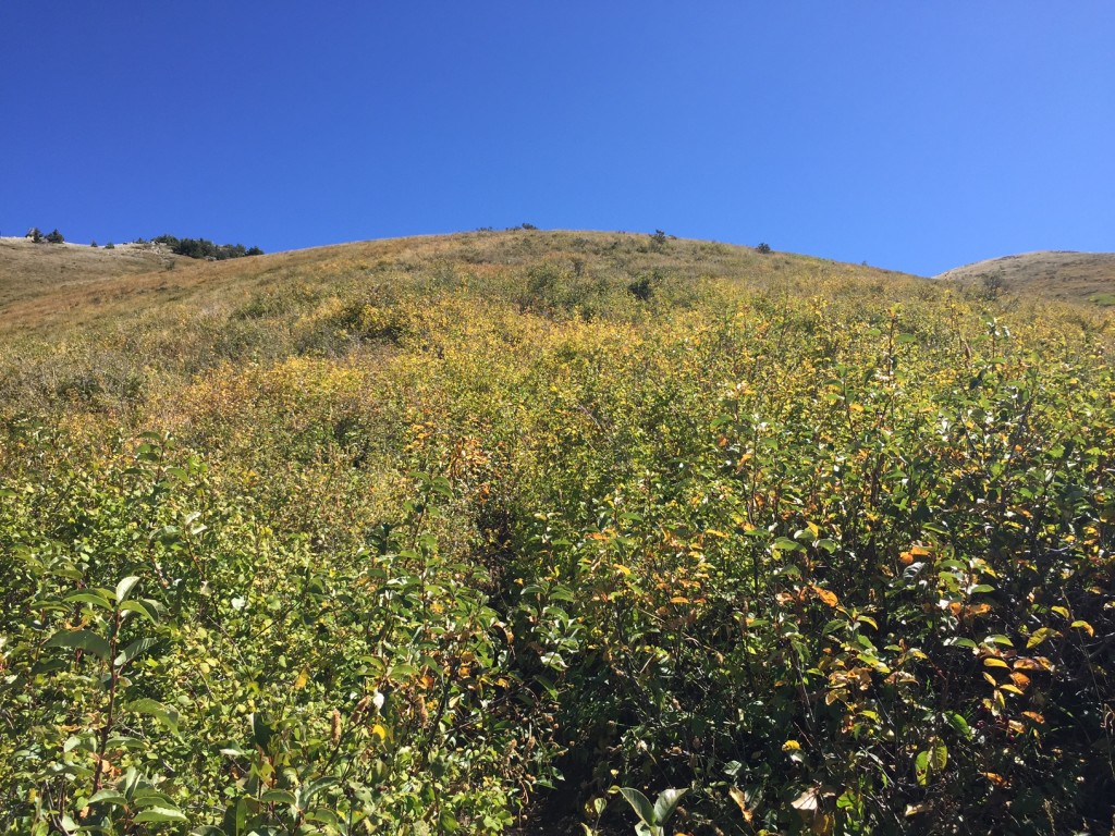
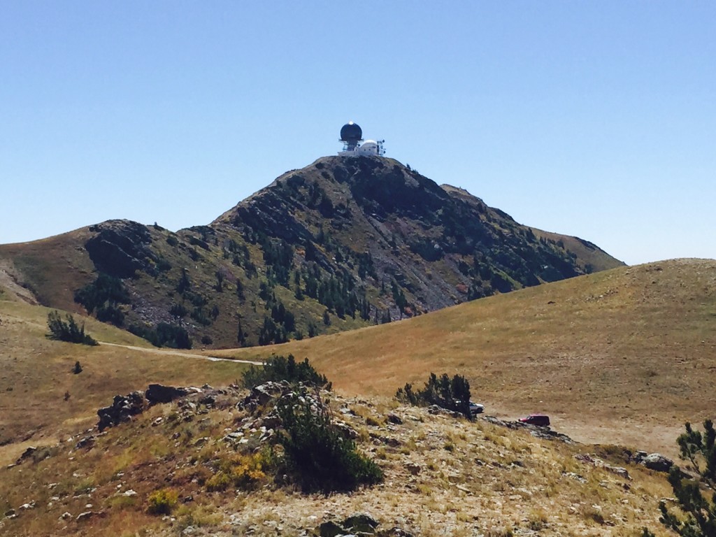
Once you hit the ridge you will come to the dirt road and see two piles of rocks signaling you have finally come to the end of the Bair Canyon trail. At the ridge you will see a clear path that leads to the left or right. Take the right path and it will lead you next to the radar towers if you wish to go to the top of Francis Peak.
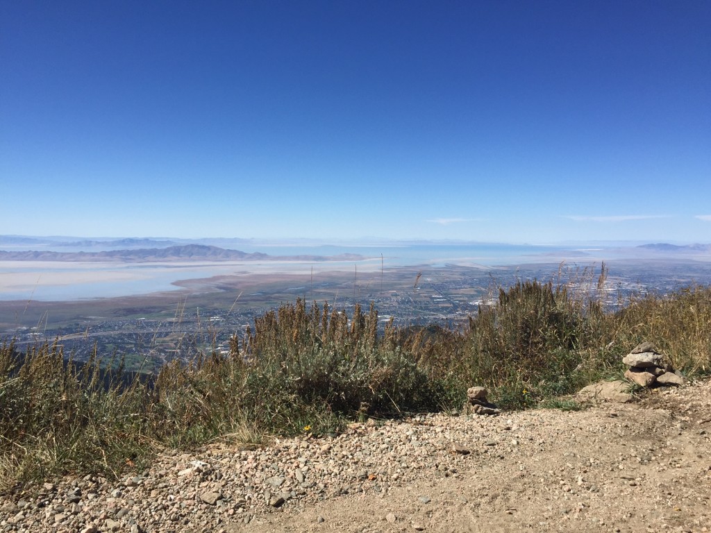
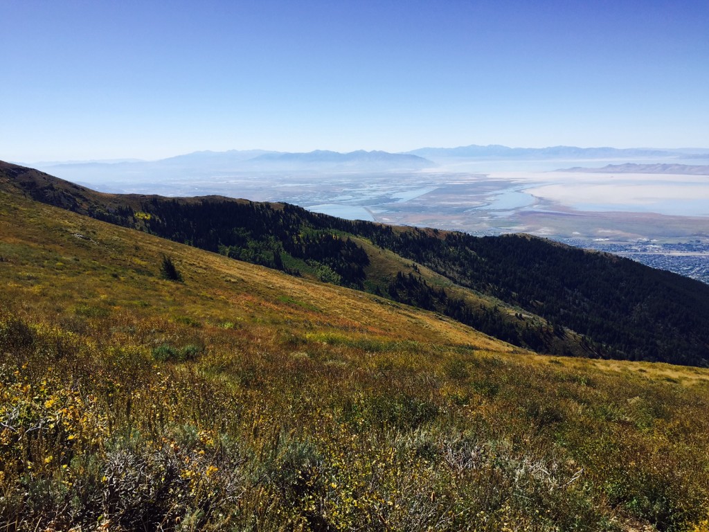
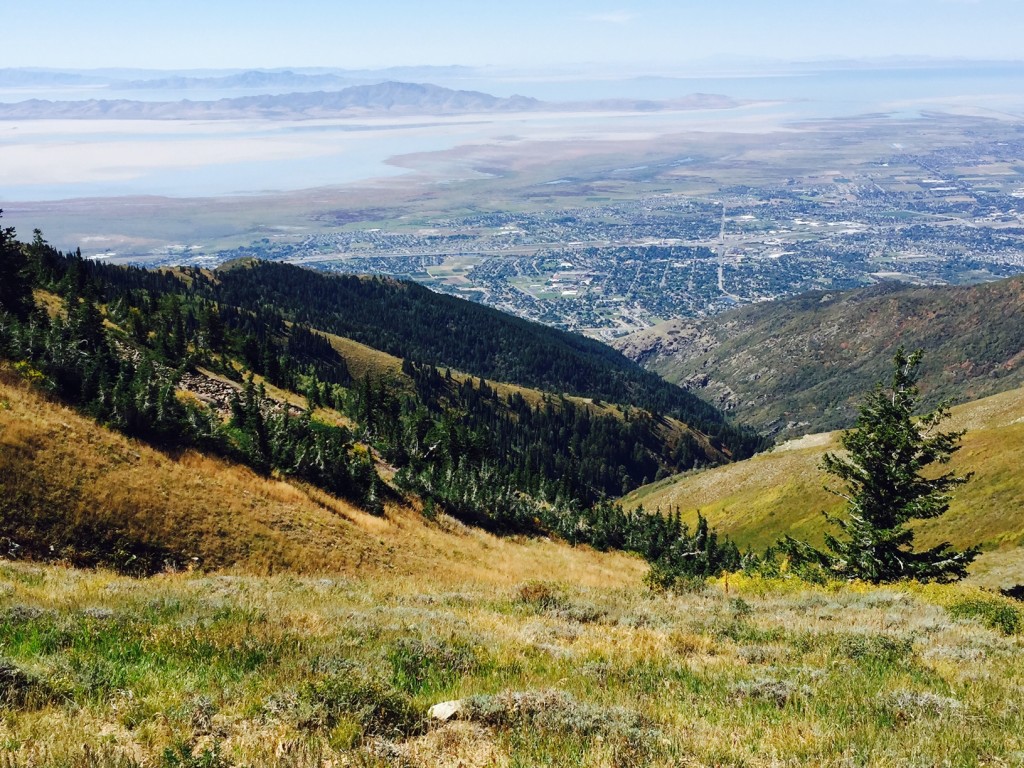
The very top of course offers incredible views of multiple counties. On a clear day you can almost see into Nevada on the west side and on the east side you can see the Uinta Mountains.
You can either hike down the same way or hike down the Farmington Canyon gravel road (about 12 miles) to the bottom of Farmington canyon and have someone pick you up. If you return down the same path be sure to take your time as it is very steep and will be a killer on your knees.
Side Trek Info is for Trek Planner Insiders only
This content is locked
(memberships are currently unavailable)
Side Trek Info is for Trek Planner Insiders only
This content is locked
(memberships are currently unavailable)

Personal Thoughts
I rarely hike to Francis Peak because it is a very difficult hike but I have always enjoyed hiking to the bridge or 2nd or 3rd crossing. I often encounter other hikers with their pets heading up the canyon. I have also camped at the camping area just above from the bridge many times as well and it is a good area to camp. The first time I attempted hiking to the very top I ran out of water about a mile passed the third crossing so please bring extra water. If you are looking for a quick way to get out of town for a bit or if you want to go camping in a neat area I suggest you come check out Bair Canyon. This area is familiar to Fruit Heights, Kaysville and even Farmington citizens but it is practically unknown to the rest of the county.


[…] are several ways you can get up to Francis Peak. You can hike up to the top from Bair Canyon (or other canyons) or you can drive up to the top through Farmington Canyon or drive from […]
Good old Bair Canyon. I’ve hiked it countless times over the past 15 years. By the way that area after the tree line, which is rocky and full of sagebrush, is often referred to as Rattlesnake ridge. I’ve seen many a rattler there so watch out! Never had to shoot one, but it’s not a bad idea to take little .22 short with you or something equivalent.
Bair Canyon has definitely been one of those hikes I have done many times as well! I didn’t know that that area had a name. It makes sense though since I have also found rattlesnakes up that high! Thanks for the comment Andrew!
[…] 7. Baer Canyon Trail to Francis Peak […]
[…] Click here for directions and more information. […]