Thank you for being a member!
The Trek Details
The Trek in a snapshot
San Rafael Swell, Utah
BLM
Allowed, but there are plenty of cactuses and steep cliffs so it may not be the best pet friendly adventure
None
None
Not allowed
No set trail. There is a very old and very rough dirt road that you can follow for about 1/2 mile, but you will need to hike through dry washes to avoid hiking on cryptobiotic soil and vegetation. This is an open exploration Trek, so good route-finding will be essential. I can’t emphasize enough that this Trek isn’t for everyone.
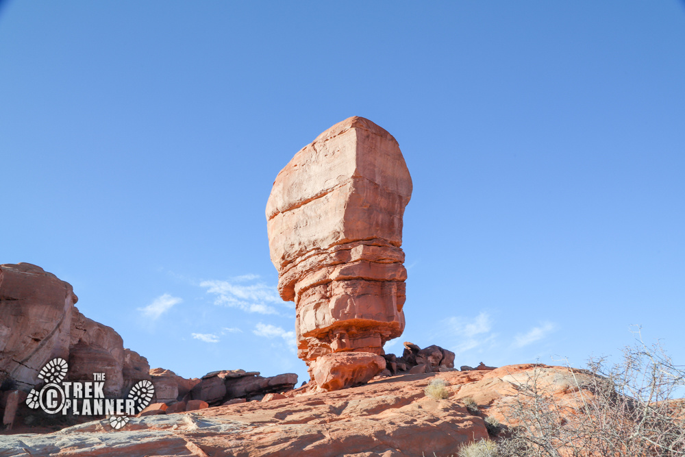
Sky Arch, Triad Arch, two sandstone pillars
Bring 2-3 liters of water
All
4.7 miles
2-4 hours
5545 ft.
5287 ft.
258 ft.

The Trail
Follow along on our adventure then go out on your own!


Note: This is a very remote area, however, you will be able to make it in a sedan since the roads are graded from time-to-time by the BLM. I would highly encourage a vehicle with 4 wheel drive and even high clearance just in case. Bring extra water, food, shelter, fuel, and a full-sized spare tire and tire changing equipment. I only found two spots that had very poor cell signal and these two spots were along the road.
Time to hit the trail again! I visited the San Rafael Swell for this adventure. I had previously scouted out the area and was hoping to see plenty of rock art and some fun slot canyons on this trip. I packed up the car and headed out to Central Utah hoping to find everything on my list.
I had a list of about a dozen GPS coordinates and the only thing going against me was the daylight. That’s one of the worst things about hiking the winter: it gets dark around 5 pm. I still managed to get to the trailhead by about noon or so and was excited to explore in this part of The Swell.
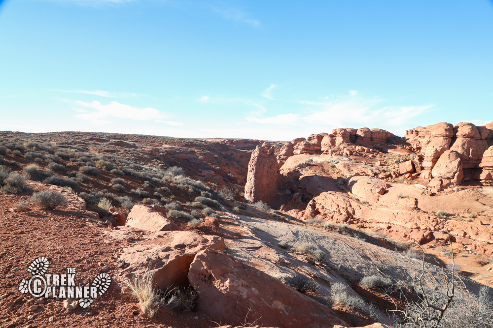
There wasn’t a set trail. I simply picked purposely picked dry washes so I wouldn’t be stepping on cryptobiotic soil or vegetation. The area I was hiking in had plenty of dry washes and open landscapes with very little cryptobiotic soil – lucky me!
The first thing on my list was to check out a small slot canyon. I was secretly hoping to find some petroglyphs near the slot canyon since I thought it would be near an area where some rock shelters would have been, but I had no idea what to truly expect on this trip.
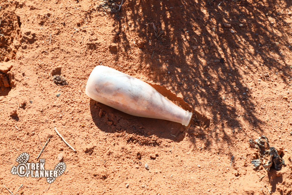
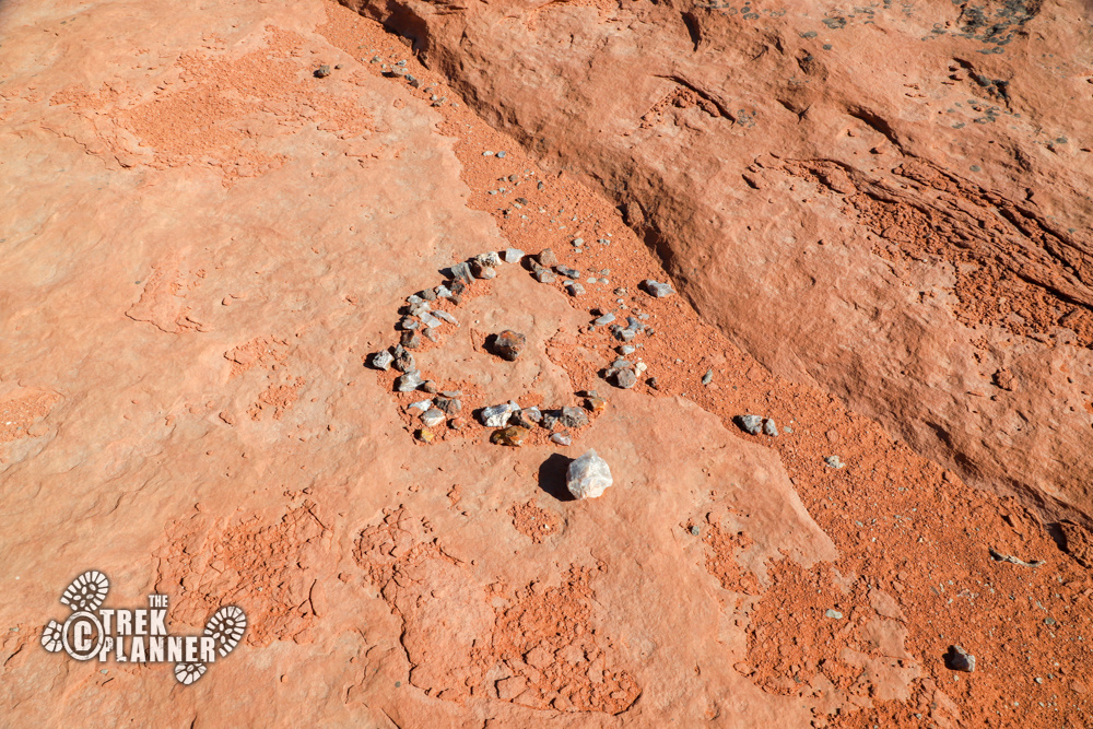
After hiking just a few hundred feet from where I parked, I began to see signs of ranchers or cowboys. Glass bottles, old food cans, and even metal wire littered the ground. One of the glass bottles I found looked like it was either from the 60s or 70s and it was still in decent condition despite being in the open desert. I found a circle of rocks and a piece of a boot near here too.
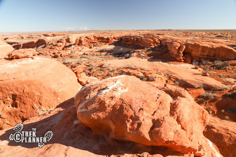
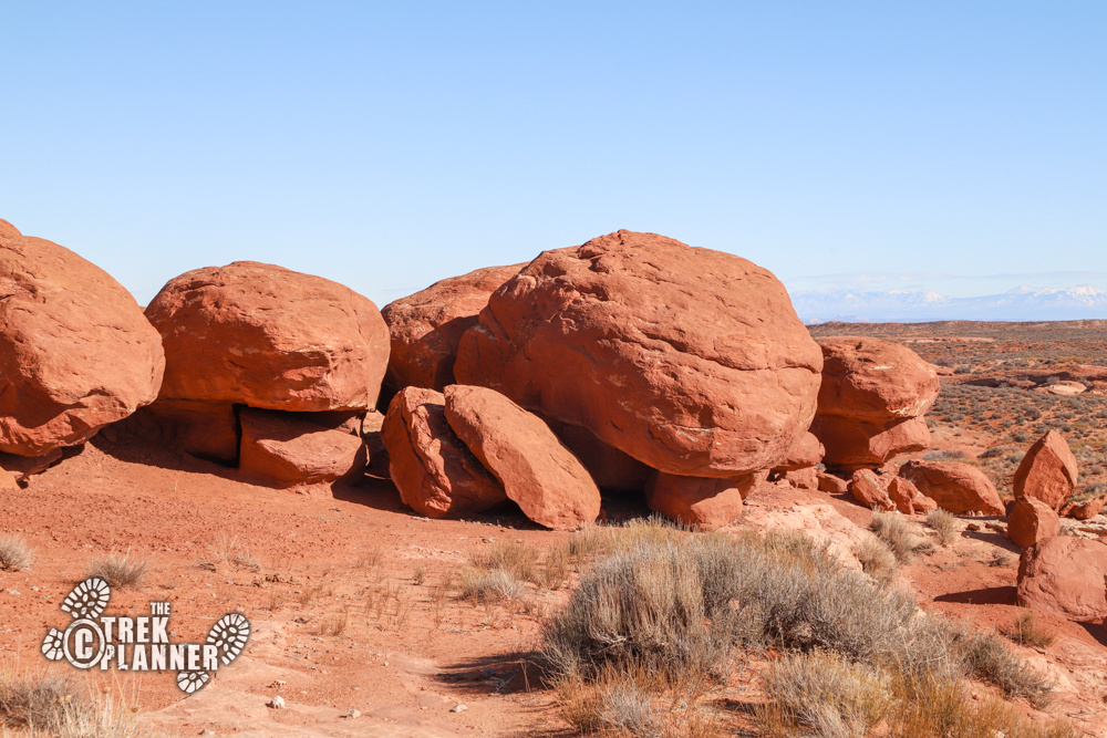
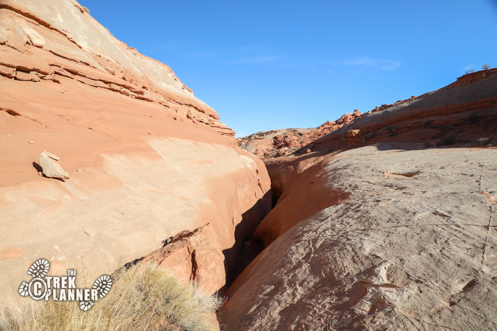
I found the slot canyon and it looked like it was near impossible to hike down into until I hiked to the western edge where I found a gently sloping path into the canyon. It wasn’t a true slot canyon, but it was still narrow, but not dangerous. I hiked down a little ways and didn’t see anything worthwhile. I hiked back up and went to the northside to see if there were any petroglyphs or anything. Again, nothing! Oh well.
I did see another circle with rocks doubled-up. Was a tent placed here at one time?
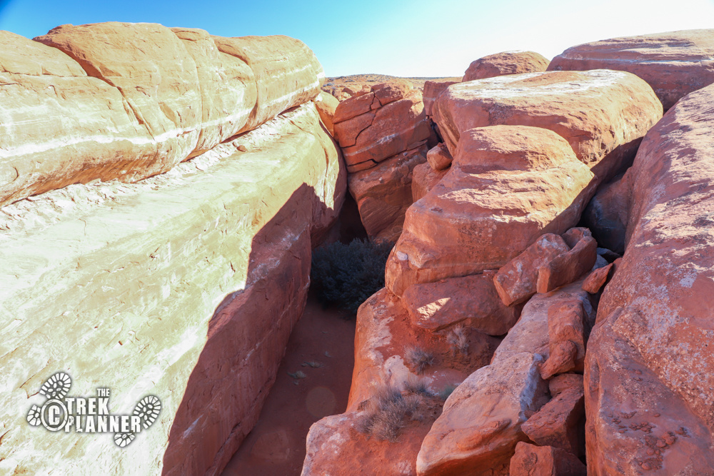
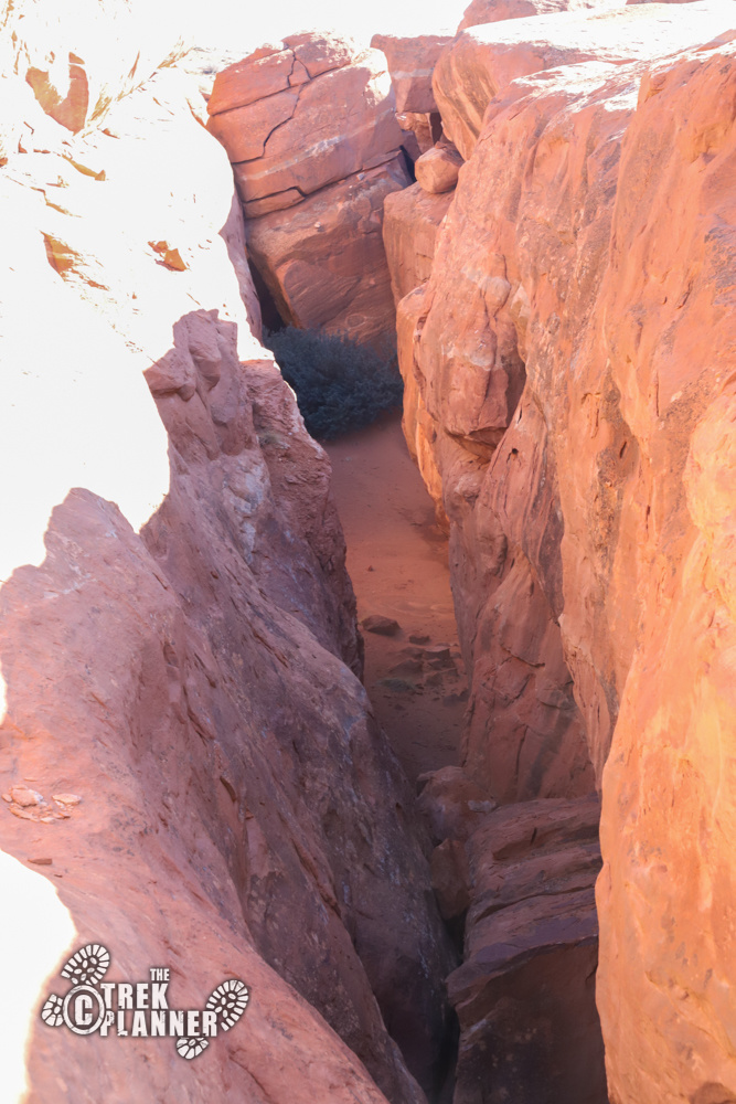
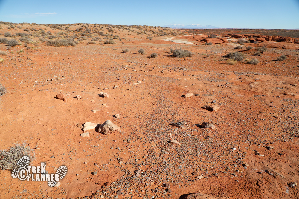
I open up my topography map and see something that says “natural arch”, so I changed my plans and started to hiked over there. I found an old off-road trail along the way and then found a nice wide dry wash to help give me access to the canyon where the arch was. I look on the map again and see something that says “springs”. I hiked over to it and found a few trickles of water with many animal prints. This precious resource was still providing water to many animals in this desolate area!
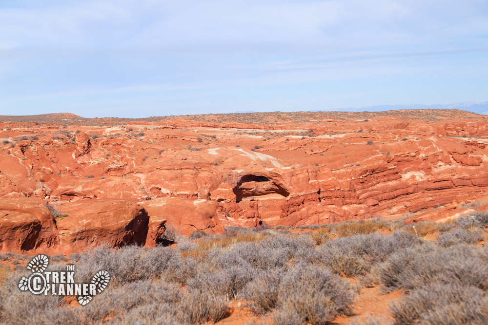
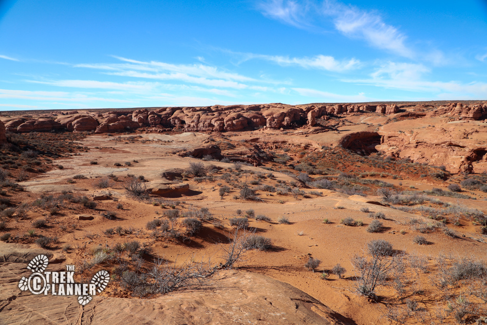
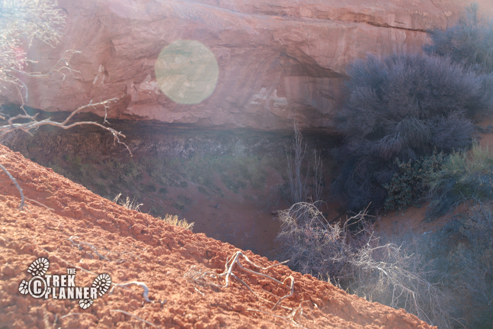
By now, I was hiking in the middle of a canyon that kind of resembled a hike in Arches National Park. I kept tricking myself into believing I would be seeing other hikers, but I found no one else this day. I did see a few footprints near the slot canyon, but it was mostly cattle footprints. Don’t worry, I was more than prepared for this trip!
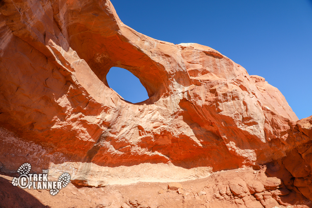
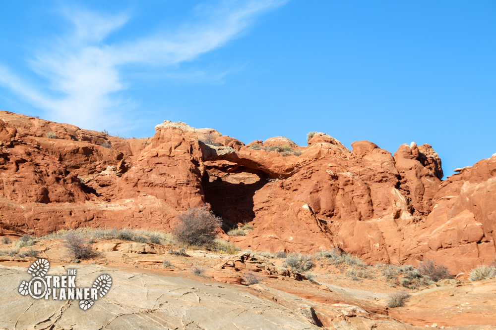
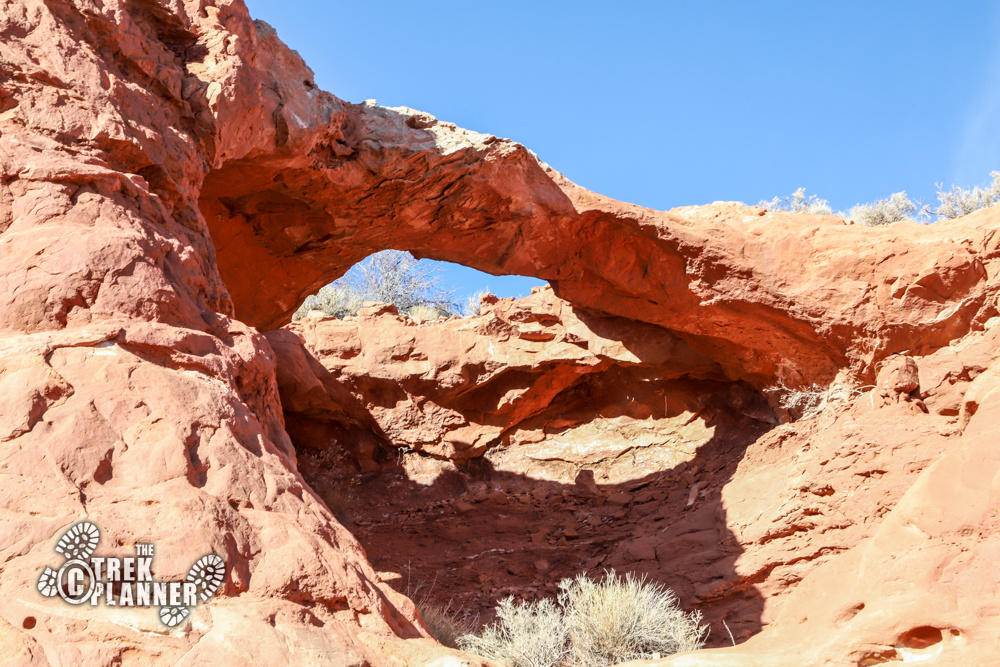
I checked out a nearby alcove for some petroglyphs or signs of ancient life, but didn’t see any. I then hiked around the corner to an unnamed arch! The arch was located inside a small cove and was at the top of the sandstone cliffs. It wasn’t a magnificent arch by any means, but it was still cool to see! Since this arch didn’t have a name on my topography map, I have since called it Sky Arch, since it looks up to the sky.
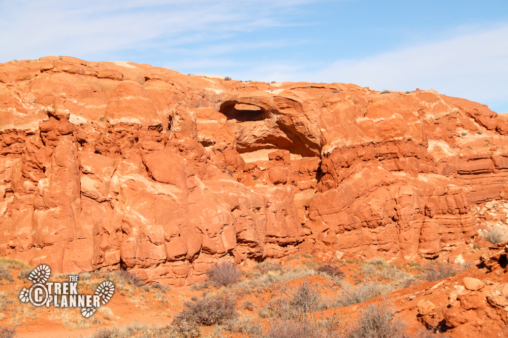
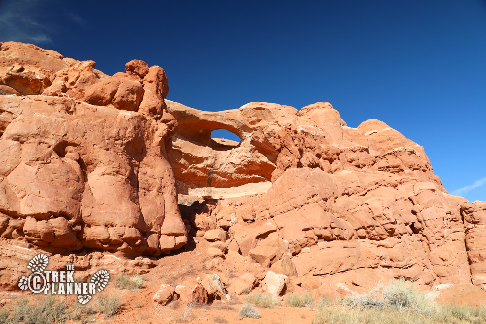

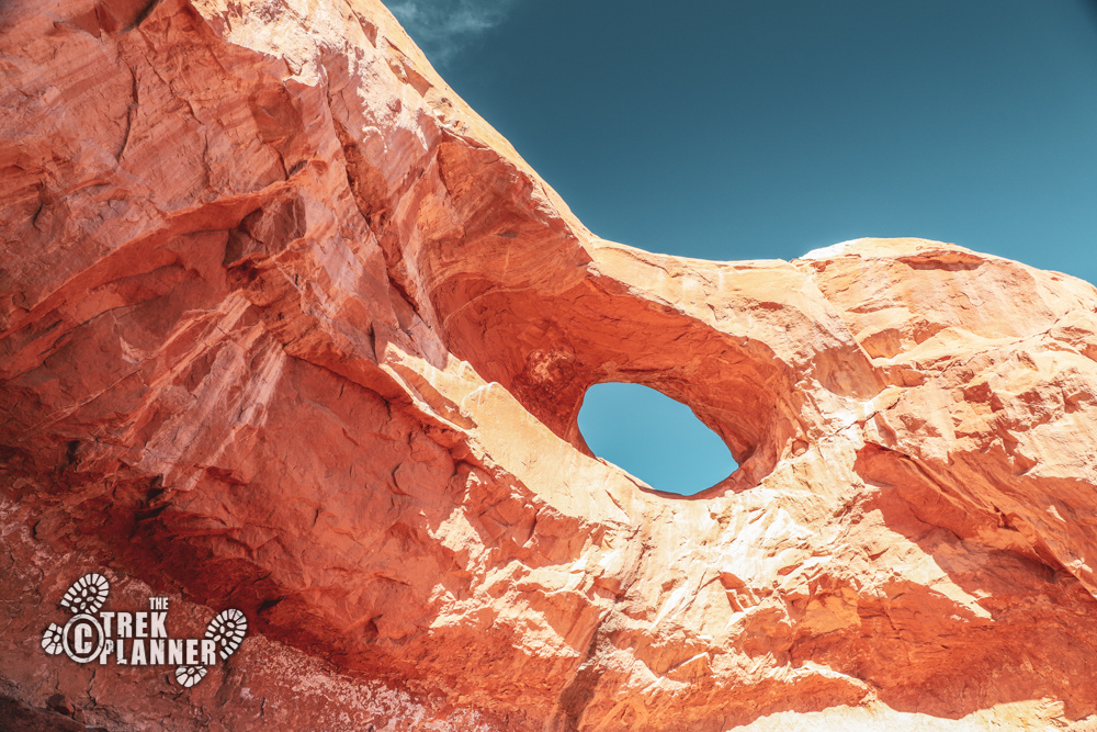
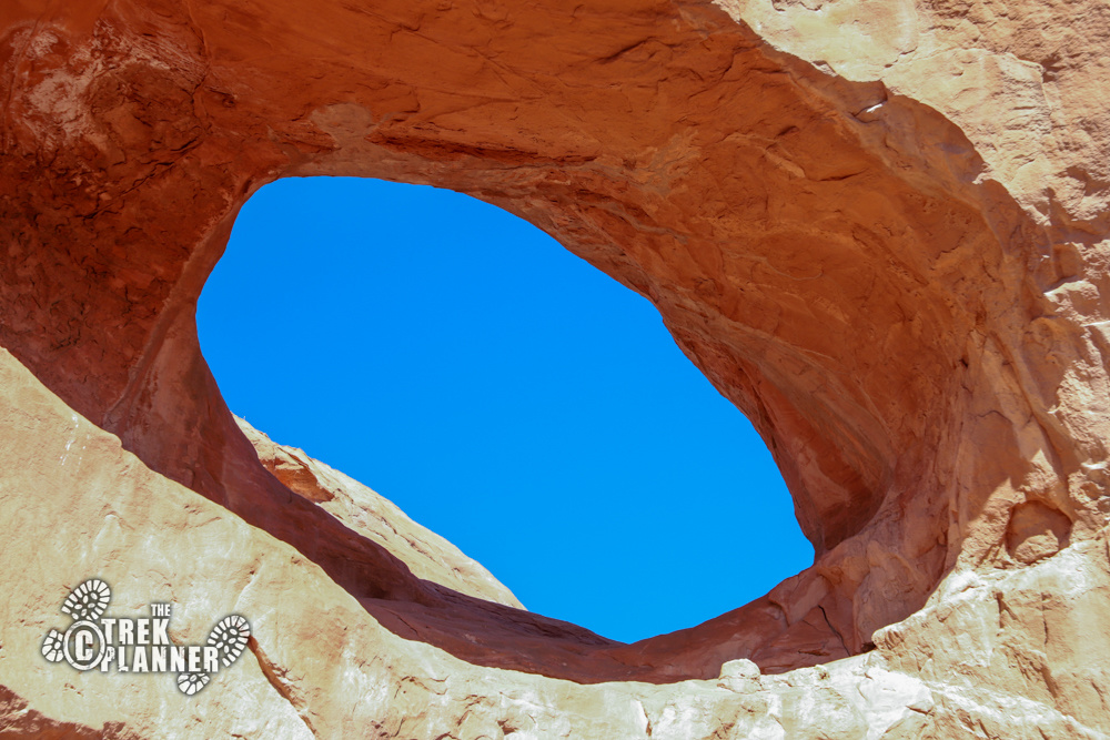
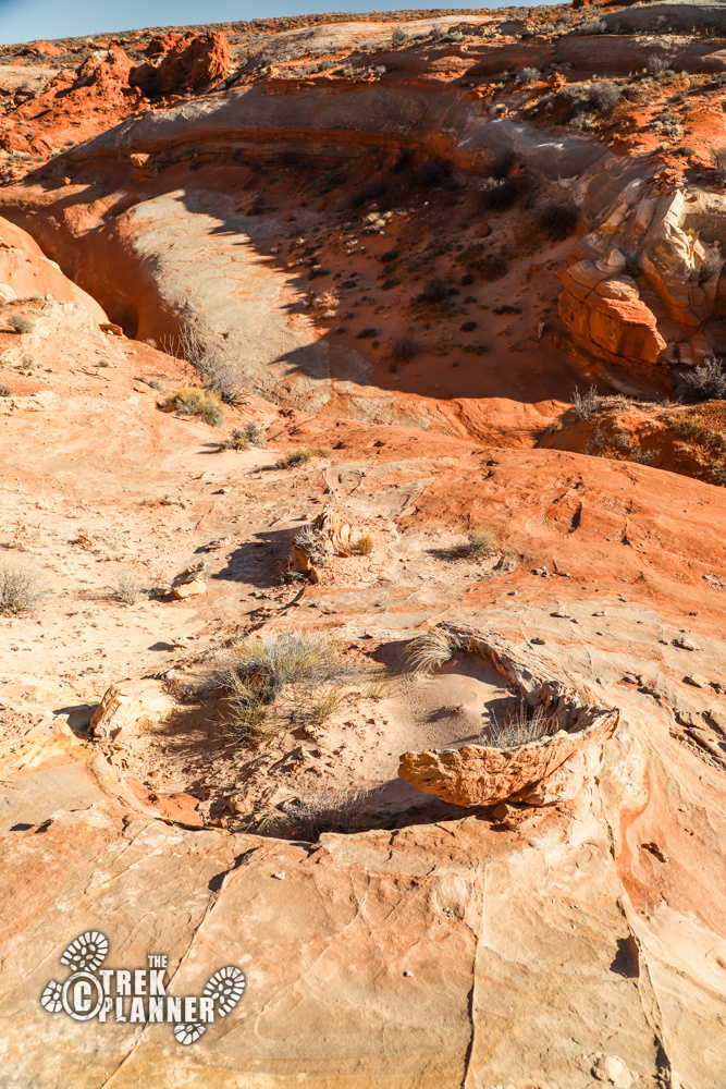
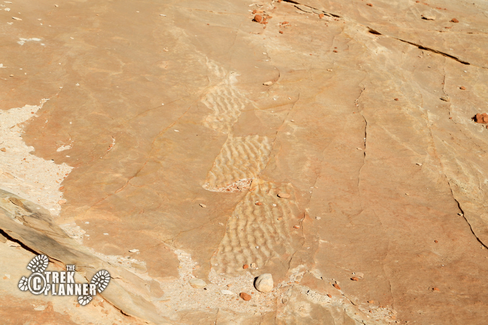
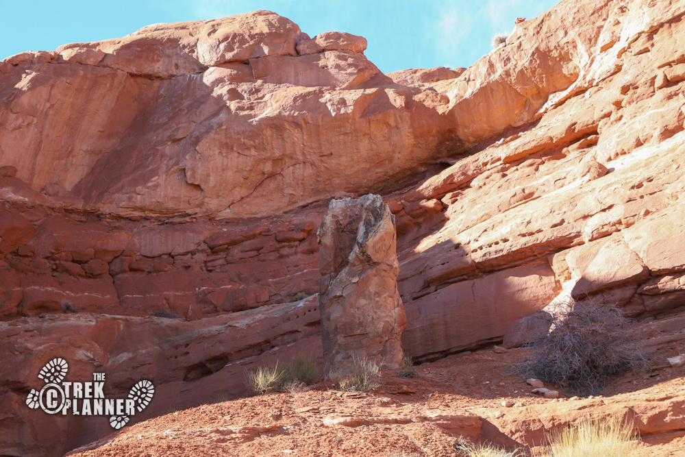
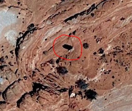
I probably checked this thing out for a good 10 minutes trying to figure out just what it was! I never did figure it out, but it was pretty weird and interesting! I first saw it on Google Earth and seeing it in person was absolutely surreal.
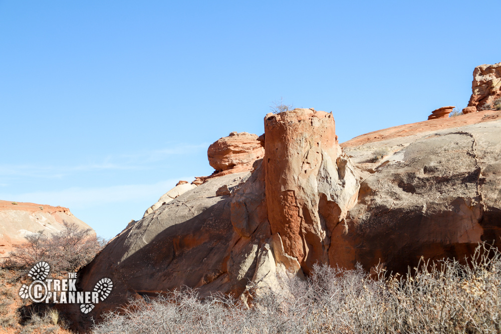
Down below this is a small canyon and I had to hike down in it to access the other side. Once on the other side, the canyon narrows down to a true slot canyon. I didn’t even want to mess with this since I was alone, so I hiked farther down the canyon until I could safely cross over to get to the other arch. I saw the arch high up on the cliffs and knew I wanted to get closer to get a better picture.
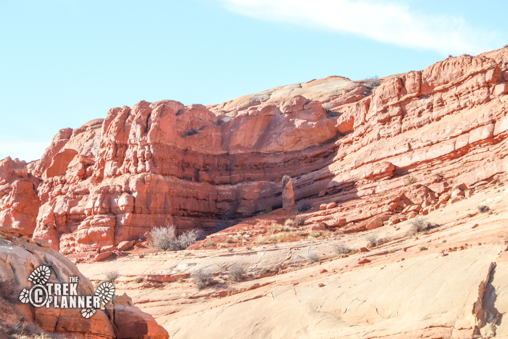
This area is very remote and I didn’t see any signs of even animal life other than a few ravens and a desert cottontail rabbit.
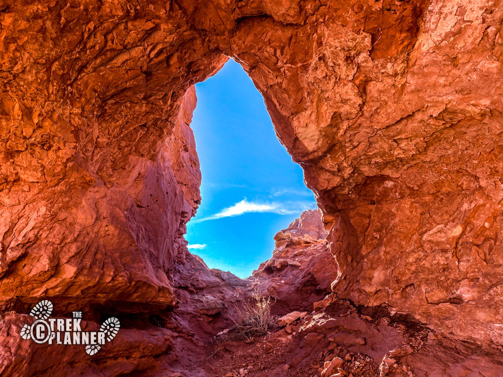
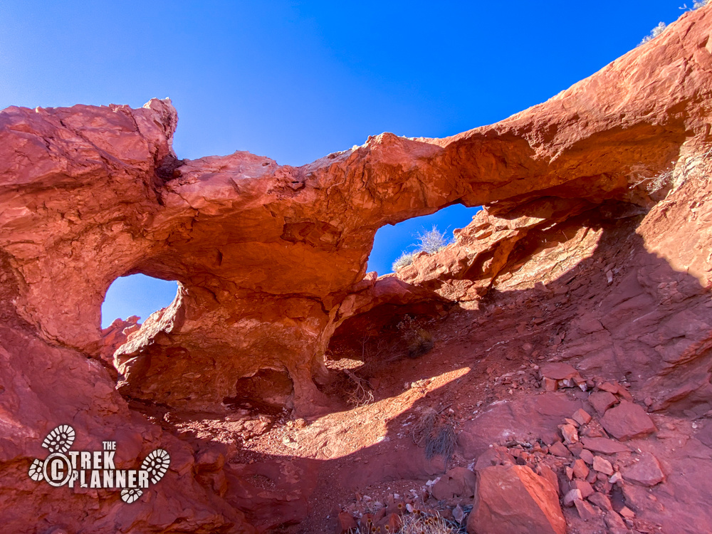
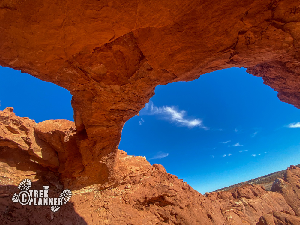
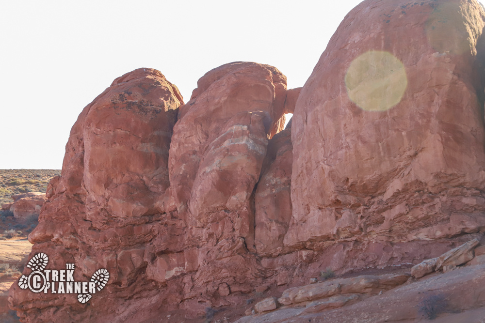
I found a good easy route to the other arch and got close enough to get a picture. But I wanted to get on top since this arch looked like it had three openings. I found another easy route to the very top of the cliffs and explored more of this arch. This arch did have three openings and I have since given it the name “Triad Arch”. (This arch was also named “Natural Arch” on my topography map). Even though it might be tempting, but please do not climb on the arches. Triad Arch looks especially fragile and looks like it could break if you stand on it.
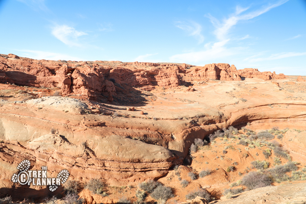

From here, I only had about 2 hours left of sunlight and I wanted to get back to my car before dark and also get some dinner going before it was pitch-black. I hiked back around a different way and found a small natural window in the sandstone! I then used my GPS to get back on my original trail before hiking down to Sky Arch and then went back to my car.

Personal Thoughts
I love off-the-beaten-path adventures like this one! I only saw one other car while I was out here, so make sure to be fully prepared for a self rescue if needed. There is much more to see in this part of The Swell including more springs and I bet even some petroglyphs. I am planning to come back and explore in some caves I found!
[…] an Insider member!Click to See Full Trek (Insiders Only) Central Utah natural arches San Rafael Swell Sky Arch the Swell Triad Arch […]