Trailhead: 41° 2’48.02″N – 111°54’17.06″W
Bonneville Shoreline Trail Fork: 41° 3’8.18″N – 111°54’8.94″W
Fun Creek Area: 41° 3.353’N, 111° 53.977’W
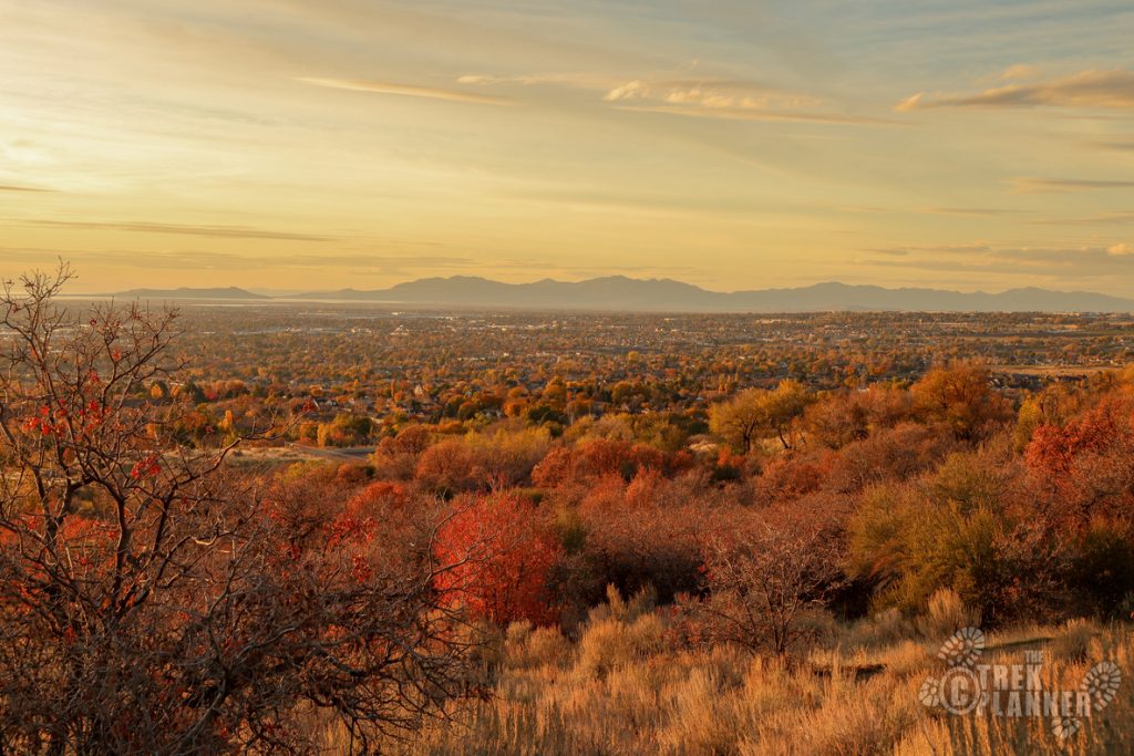
I have been hiking around the East Mountain Wilderness Park ever since I was a little kid. My family would always bring our dog up and run around the loop trail and it is still an excellent place to bring your pets. The East Mountain Wilderness Park was called the “Vita Course” back in the day because along the trail there were exercise stations set up where you could do pull-ups, push-ups, sit-ups, crossing bars and rings – all of which have been dismantled. To this day many people still affectionately call this place the Vita Course. If you have a little time and want to get away from the city for a little while, I highly suggest you bring your family (or come by yourself) and visit one of Kaysville’s best kept secrets.


When I was much younger this area was called the “Vita Course” due to the structures that were built around the area – they are all dismantled now. They featured pull up bars, rings, push-up benches and more. People who are very familiar with the area still call it the Vita Course.
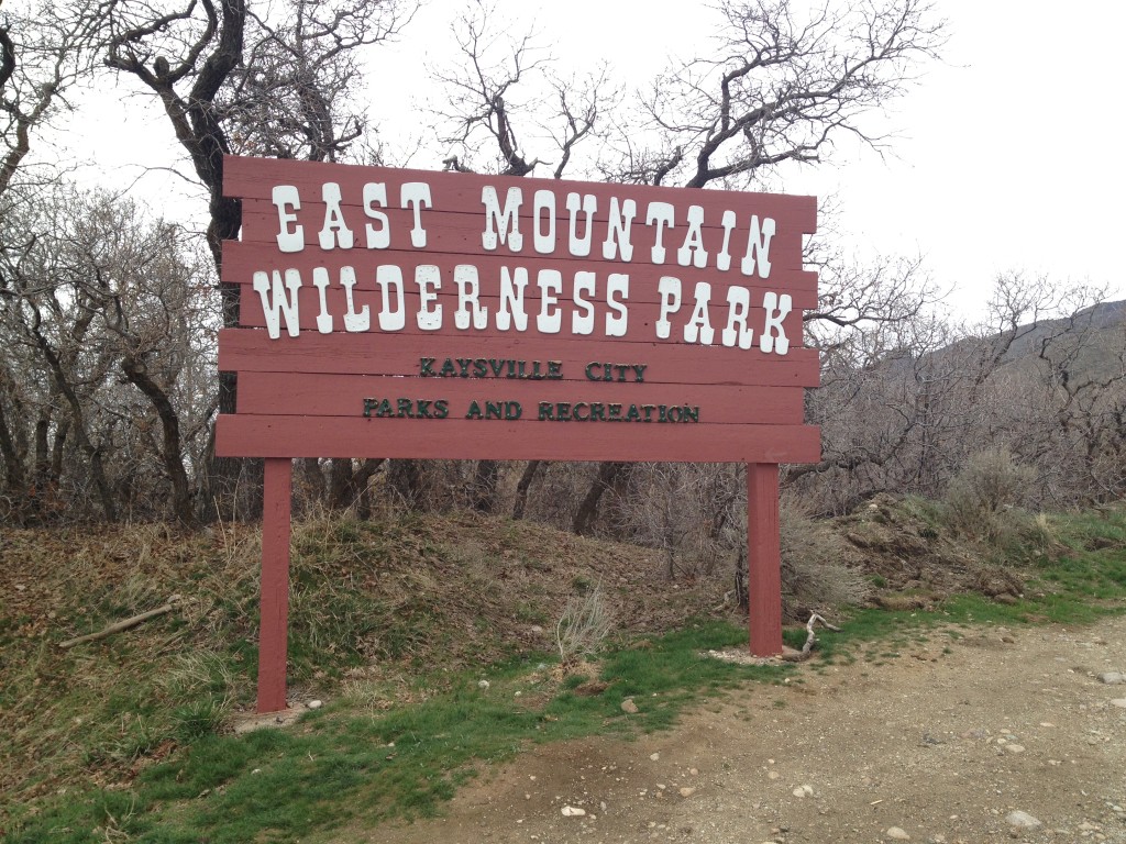
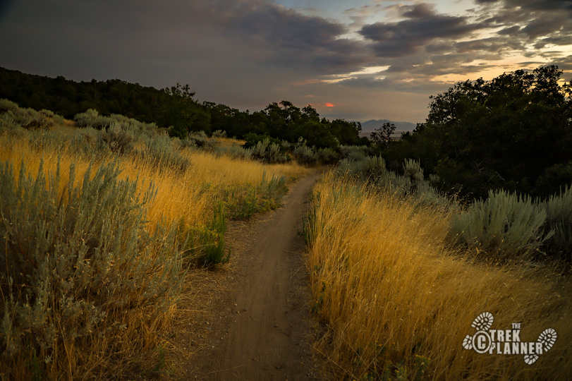
The trails starts off next to a giant sign that reads “East Mountain Wilderness Park.” The entire park features a loop trail with lots of interconnecting spur trails for hiking or mountain biking.
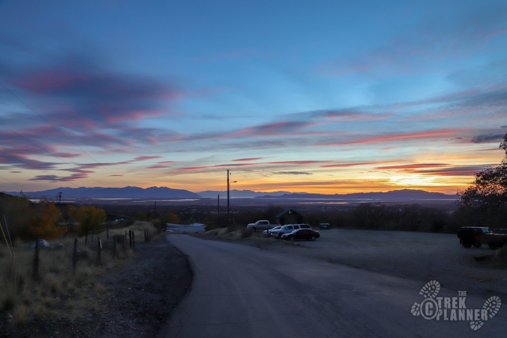
This area is great for everyone because there isn’t much elevation gain/loss and there are plenty of bushes and trees to provide for the beautiful scenery. As far as wildlife, I have seen mule deer, porcupine, jack rabbits, tarantula spiders, and lots of different types of birds so keep your eyes open!
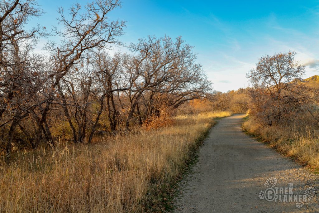
There are also mountain bike paths which if you have a bike, you should try it!
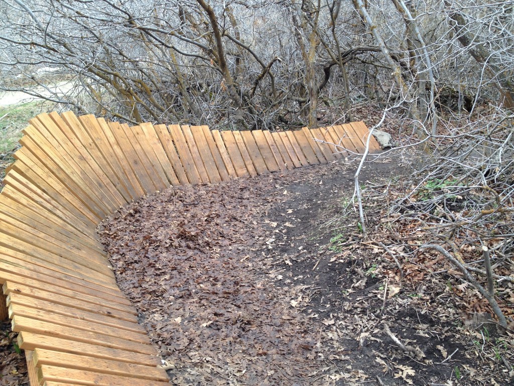
Be aware that there is a gun range directly to the East of this area. You will often hear gun shots in the distance. Please stay on the trails and do not venture above or anywhere near the gun range.
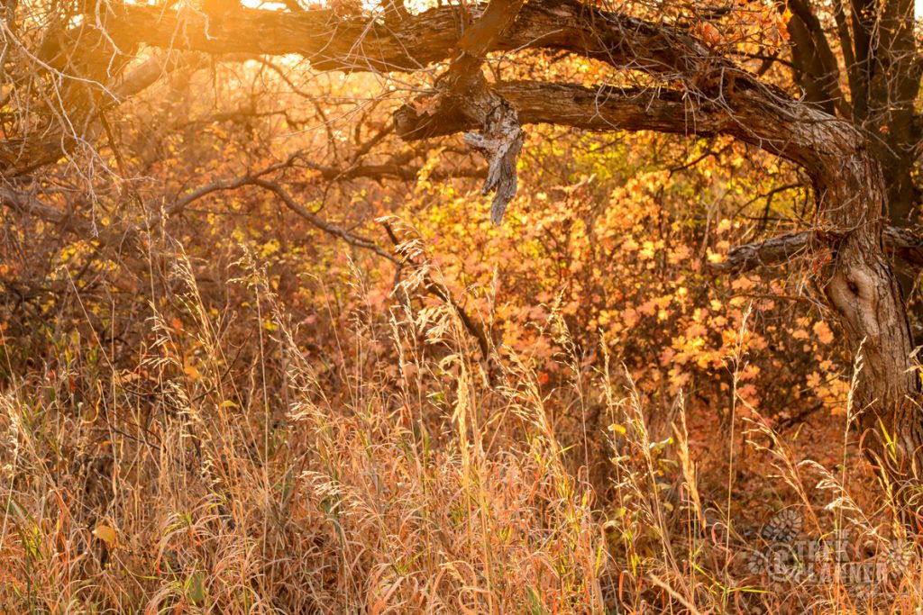
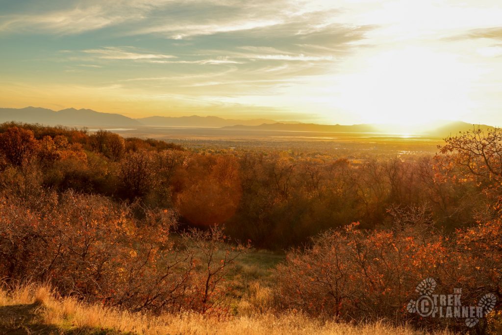
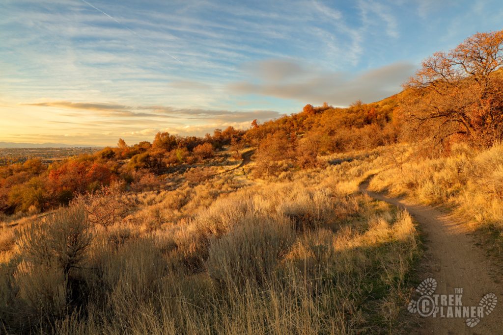
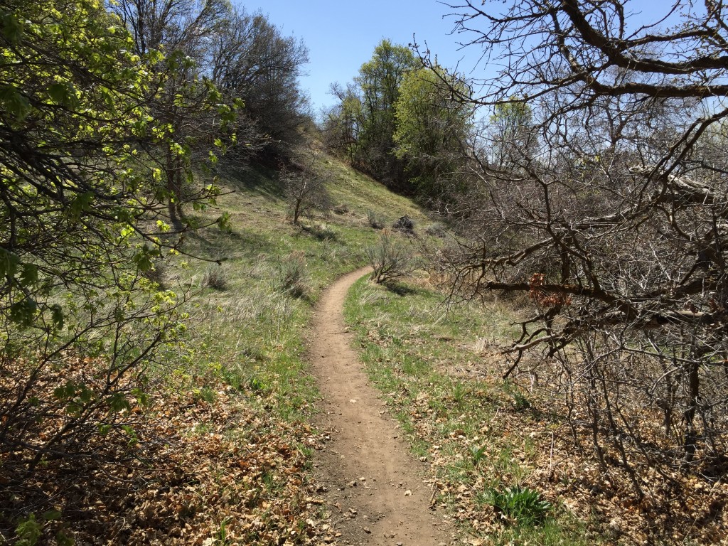
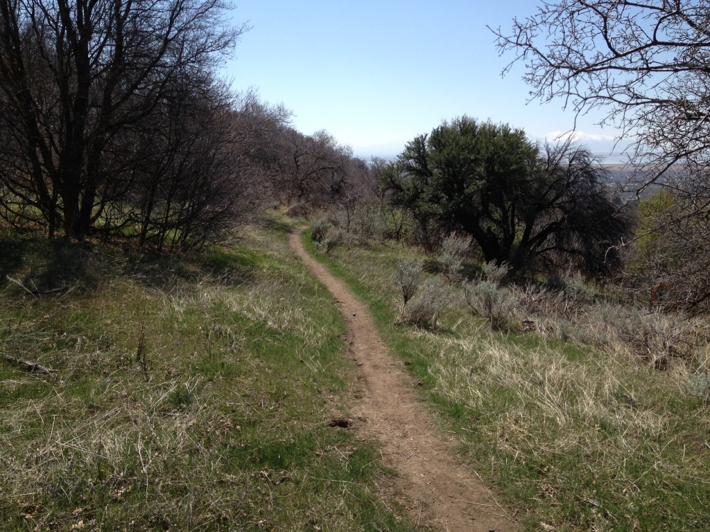
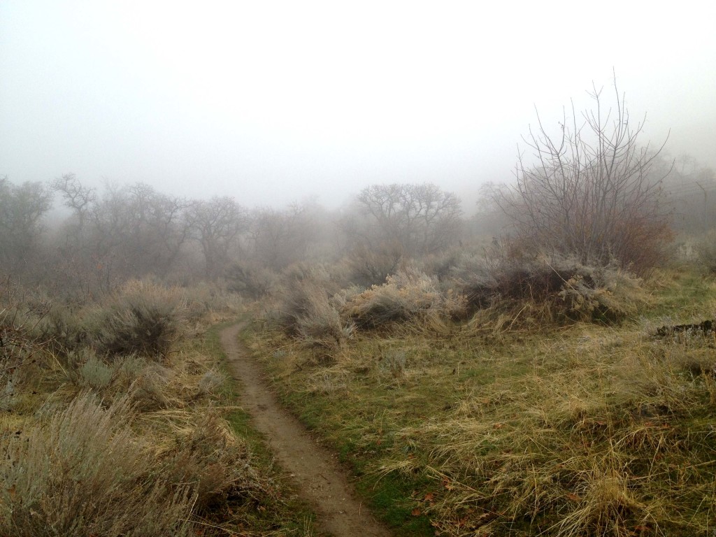
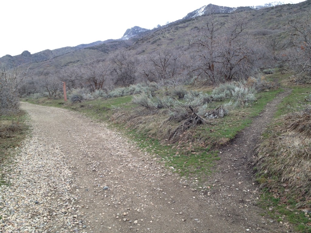
Along the way you will notice many different side trails. You should take the time to venture off the main trail and explore a little bit as most side trails lead back to the main gravel access road.
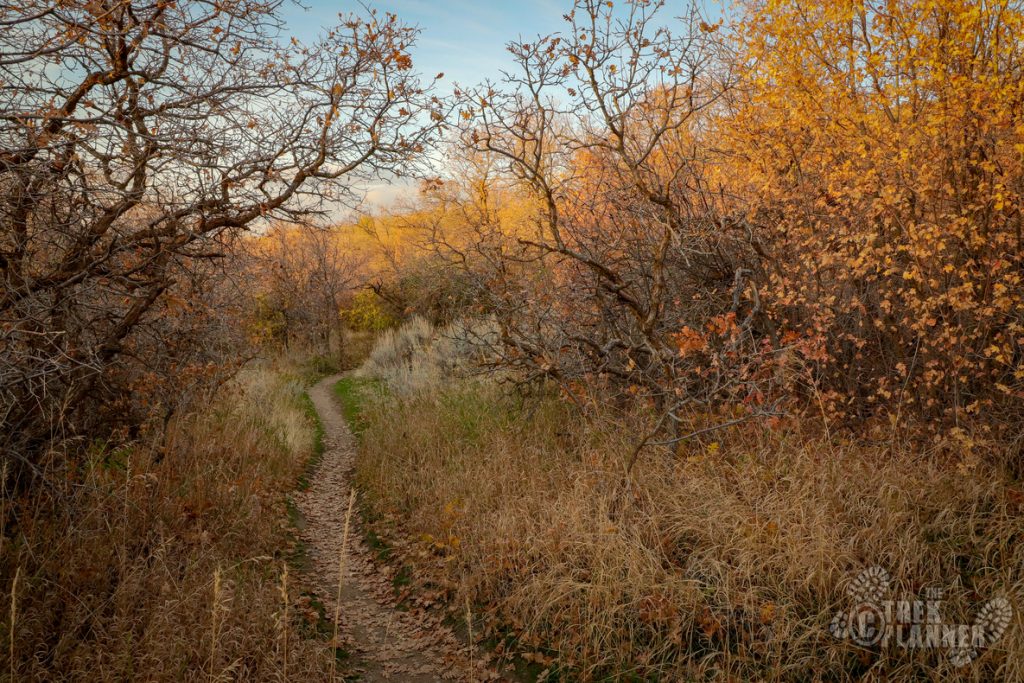
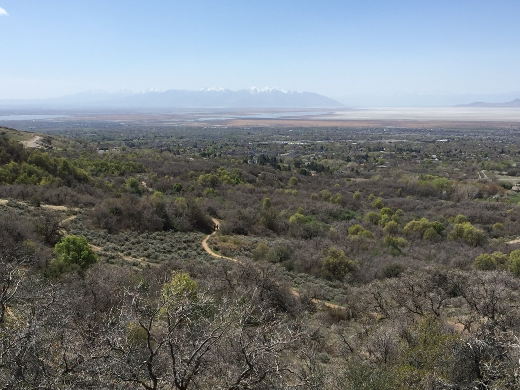
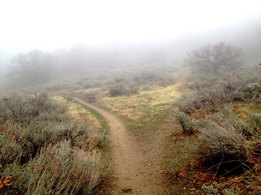
I’ve had a chance to use my mountain bike along this trail and it is FUN! There are all sorts of trails that go around the trees and bushes. If you have a mountain bike I HIGHLY recommend you bring it and test out the trails.
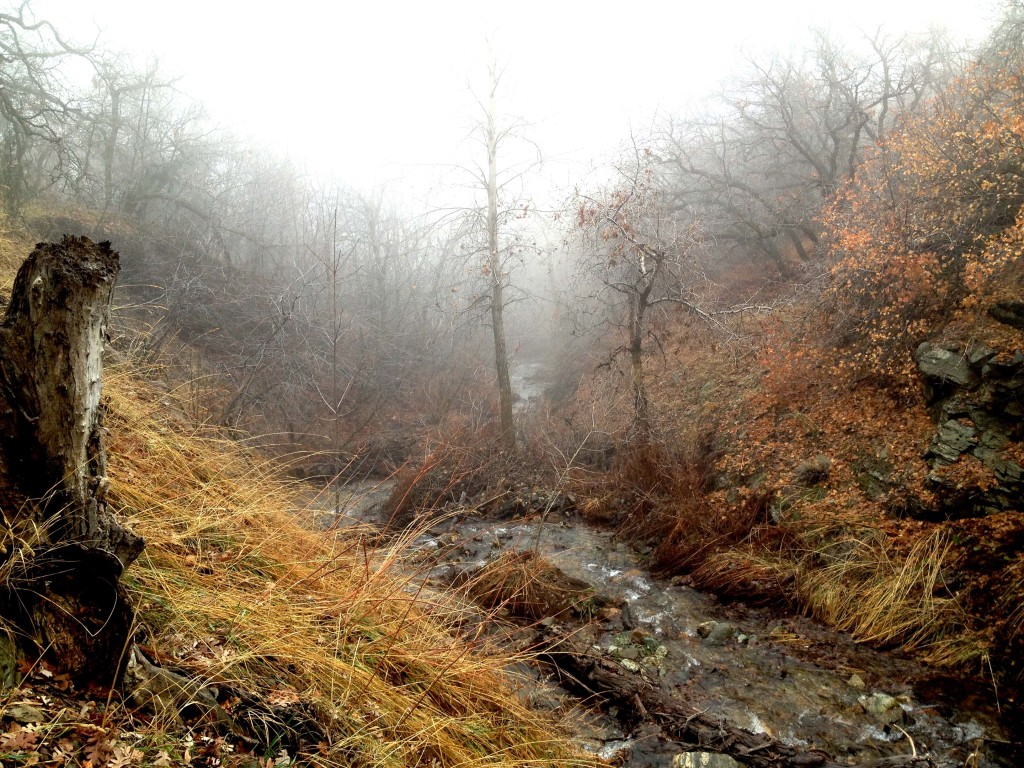
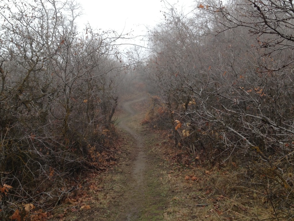
The gravel trail is easy to follow for about a half mile until an arrow signs points you to the left. At this point you could take a quick look at the reservoir which is usually empty but a creek runs between it.
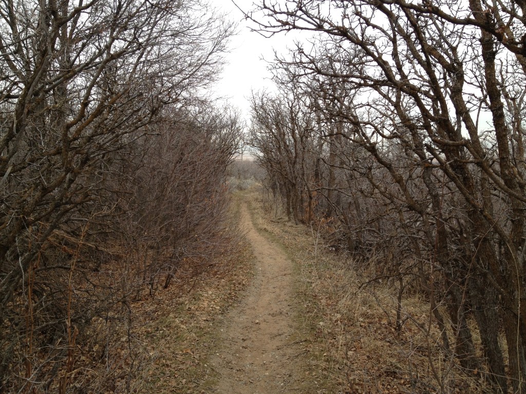
Keep travelling along until you go through the Tree Tunnel. This is a fun place to ride your bike through.
The trail continues and winds around for another 1/2 mile or so until you end up right next to the asphalt road but not next to the parking lot. You will now need to turn left up the road and up to the parking lot.
OPTIONAL SIDE TREK
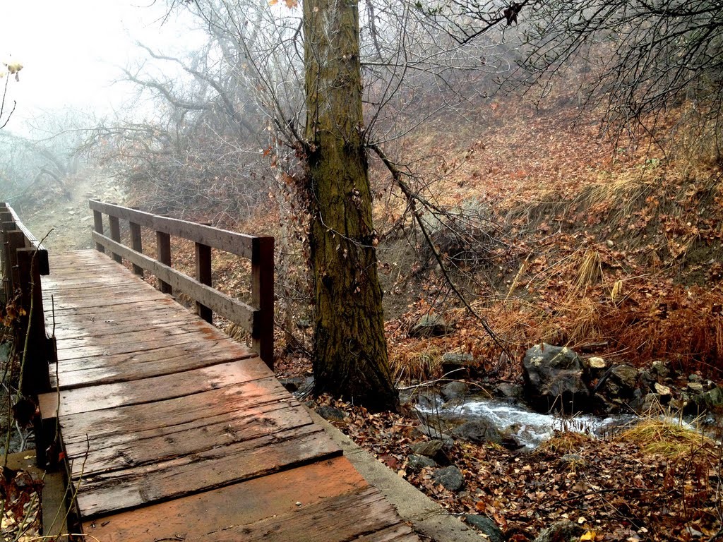
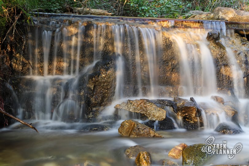
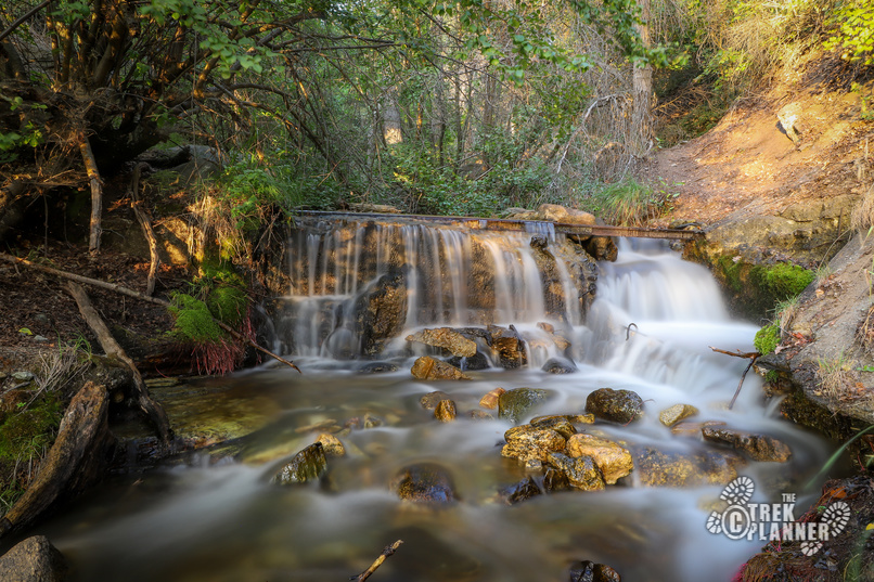
About .40 mile from the parking lot there is a small turn off with a sign that says “Bonneville Shoreline Trail”. Take this trail to your right and follow it up until you come to a small ridge about .35 mile away from the sign. By this point you will hear the creek which usually has lots of water flowing even during the winter.
Keep going on the trail down the side of the hill until you come to the bridge.
This side trek takes an additional 1/2 or longer. If you hike about 100 yards to the east of the bridge you will come to a nice waterfalls area.
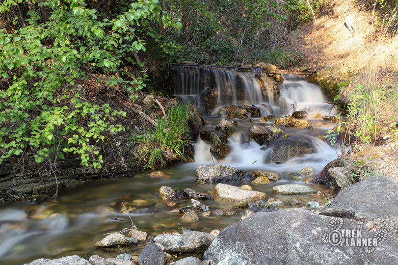


Holmes Creek Bridge: 41° 3’21.31″N, 111°54’2.63″W
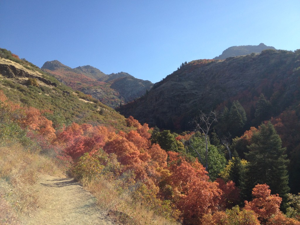
Continue hiking from the bridge and you will eventually meet up with Adam’s Canyon. The trail to Adam’s Canyon is usually sparse with hikers and is more for people who are biking on the Bonneville Shoreline Trail. You will pass by several streams and even a few houses. This is a great trail if you have more time.
Adam’s Canyon Overlook: 41° 3.917’N, 111° 54.121’W


[…] Trek: East Mountain Wilderness Park […]