The Trek in a snapshot

Trek Planner Maps
Trailhead: 40.54708, -111.80646
Mine: 40.54344, -111.80405
Rocky Mouth Falls: 40.5431, -111.80361

Experience. Discover. Explore.
Follow along on our adventure then go out on your own!


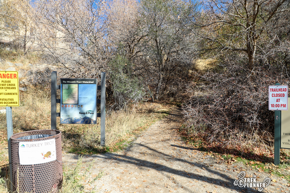

The hike to Rocky Mouth Falls is very easy. The only thing that may cause you any sort of doubt is that there are tons of stairs at the beginning portions of this trail.
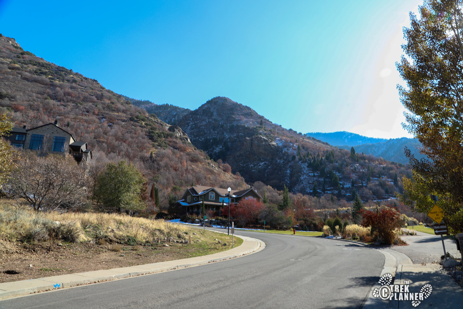
The trailhead is just off of Wasatch Blvd in Sandy, Utah. There is ample parking and since this is a short trail many people visit and then leave quickly. Right at the trailhead you will go up many stairs until you come to a residential area. You will pass by houses just please be respectful of private property and walk on the sidewalk. You will walk on the sidewalk for about 750 ft until you see the sign for the Rocky Mouth Waterfall and Bonneville Shoreline.
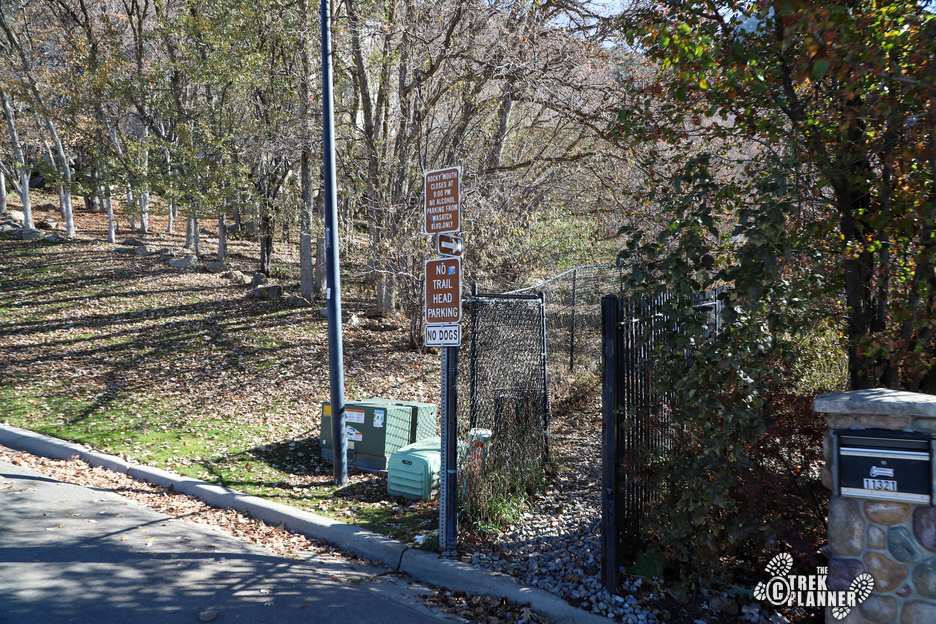
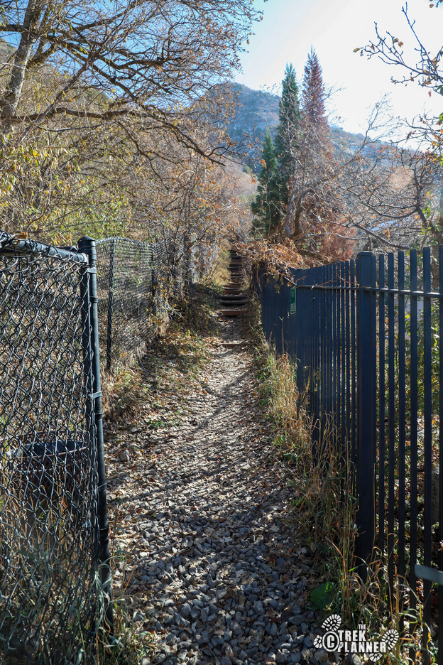
You will then hike up more stairs until you come to a fork in the trail. The right trail continues on the Bonneville Shoreline Trail. Take the left trail to continue up to Rocky Mouth Falls. From here you will enter a small canyon and you will pass by the creek on your right.

There are several small “caves” here that are fun to explore. I did see tons of bat guano inside of them so just watch where you step and put your hands. One of them goes in a little ways.
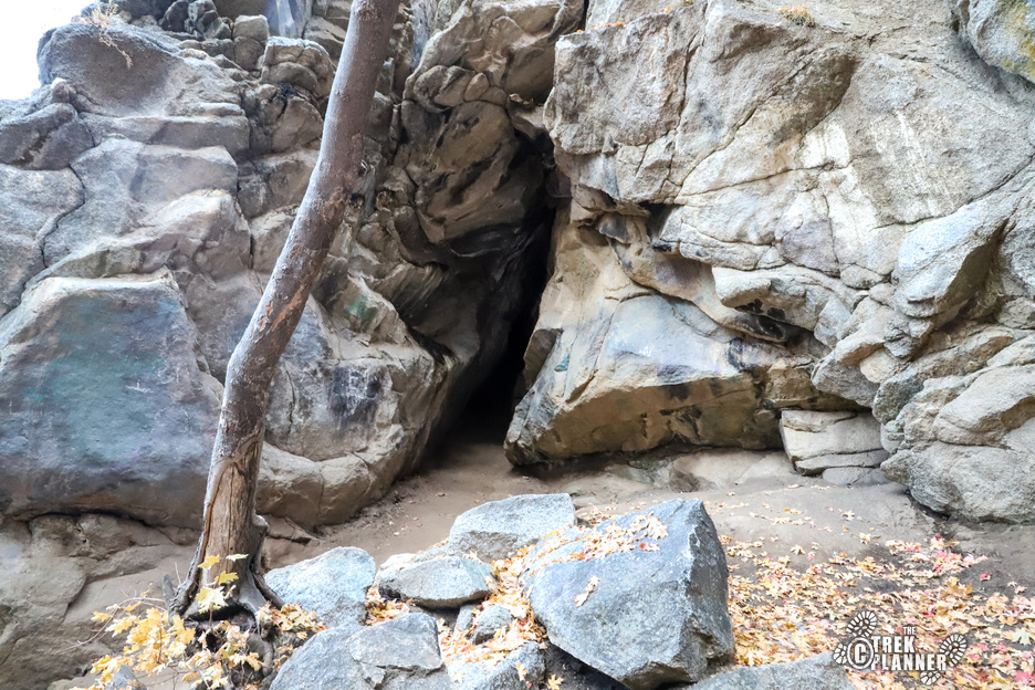
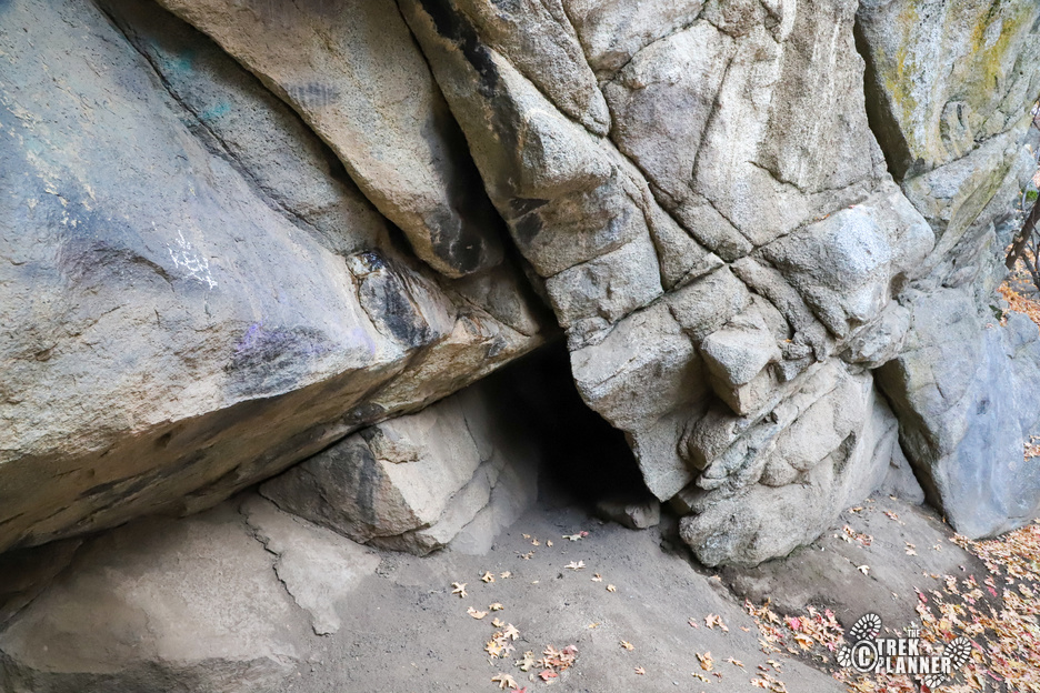
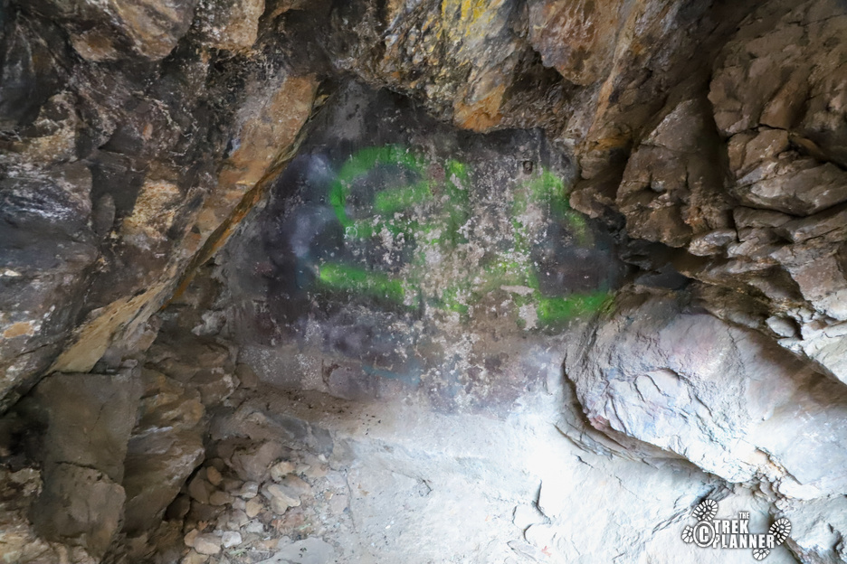
Keep hiking up and you will see another cave which is actually a closed mine adit. You can see the bricks that were placed in front of it.


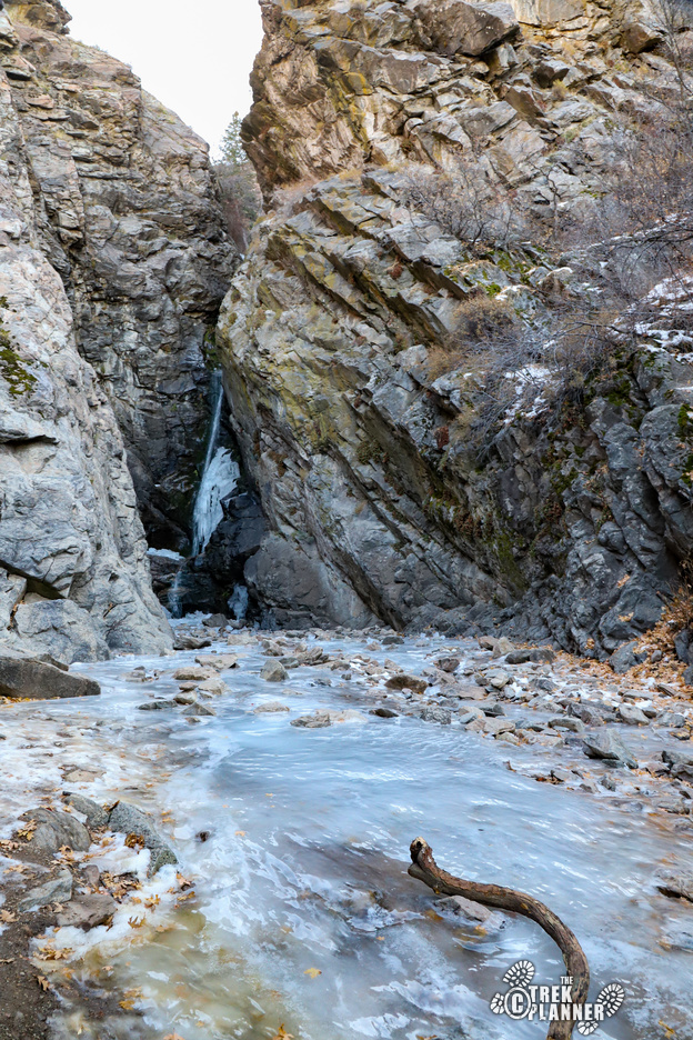
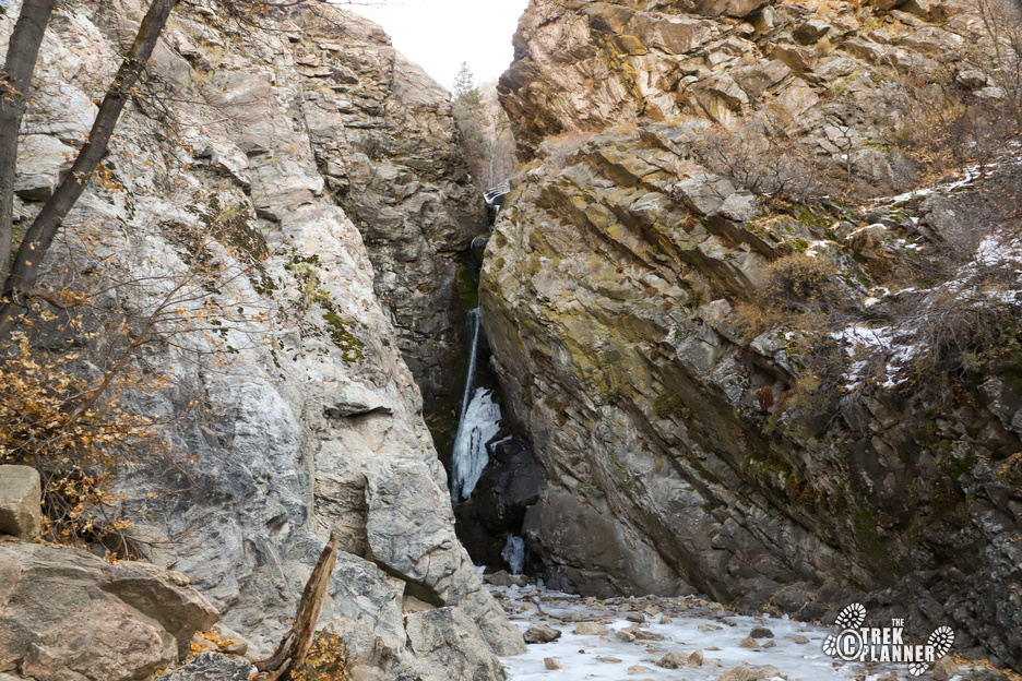
The falls are very close to the closed mine. When I visited in early November, there wasn’t too much water but I can imagine the falls roaring in springtime! It was still neat to see! The falls are probably just over 40 ft high.


Personal Thoughts
If you are looking for a fast and fun hike to a great little waterfall come visit Rocky Mouth Falls!

