
The Trek in a snapshot

Trek Planner Maps
Zion Ponderosa Approach (shorter but requires a 2 vehicle shuttle system): 37.296732°, -112.900958°
Observation Point Trailhead Approach (longer but does not require a 2 vehicle shuttle system): 37.270662°, -112.938478°
Mystery Canyon Entrance: 37.289260°, -112.929658°
Mystery Canyon Exit (requires rappel): 37.299420°, -112.944309°

Experience. Discover. Explore.
Follow along on our adventure then go out on your own!


Please make sure you have the proper training and skills to go through Mystery Canyon. Remember that you are only as fast as the slowest member in your group. That being said, this is an incredible canyon with some fun and amazing rappels and sights to see. Enjoy!
Zion Canyon Permit Information
Check for Flash Flood Warnings and weather conditions before you head out too!!
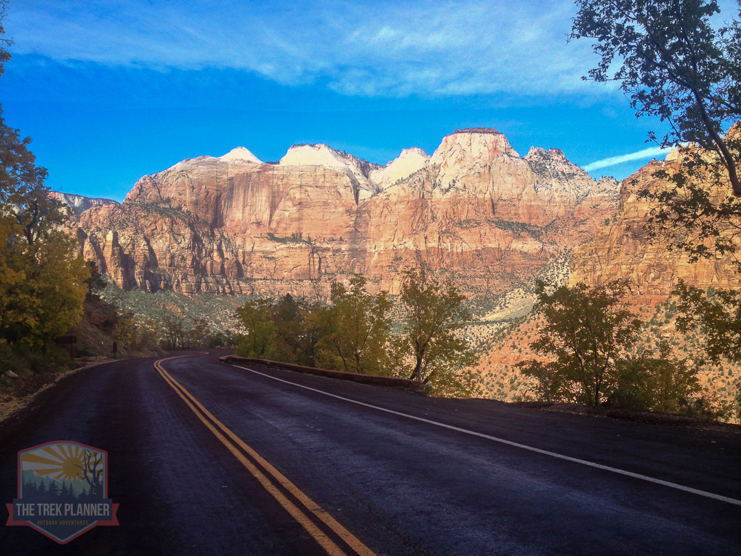
Driving Directions
It is up to you which approach you will take!
Zion Ponderosa Approach
For the Zion Ponderosa approach which begins up at the Zion Ponderosa area (it’s located at the north of the East Entrance to Zion National Park) , you will need a shuttle system. Either have two cars; one you can leave at the Visitor Center and one you can leave at the Zion Ponderosa. Or you can pay someone to drop you off up at the Zion Ponderosa and leave your car down at the visitor center.
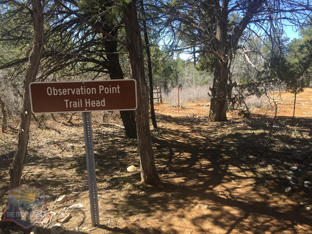
Observation Point Approach (begins at the Weeping Rock Trailhead)
(Weeping Rock shuttle stop is still closed due to a rock fall!! You must go the East Mesa Route. I will leave these directions here for when the trail will be open)
The Observation Point approach is about 4 miles long and much steeper. But it does not require a shuttle system. You simply park at the Visitor Center and take the Zion Park shuttle to the Weeping Rock Trailhead, then follow up the East Mesa Trail until you come to the top of Mystery Canyon.
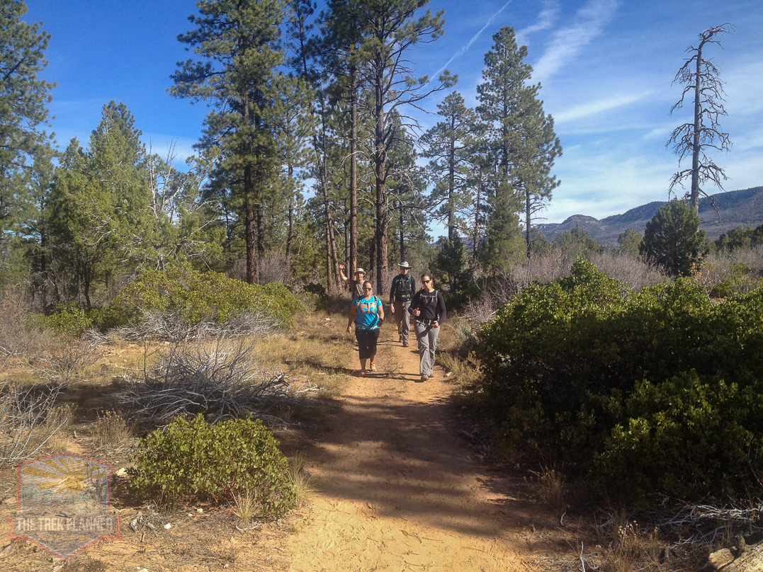
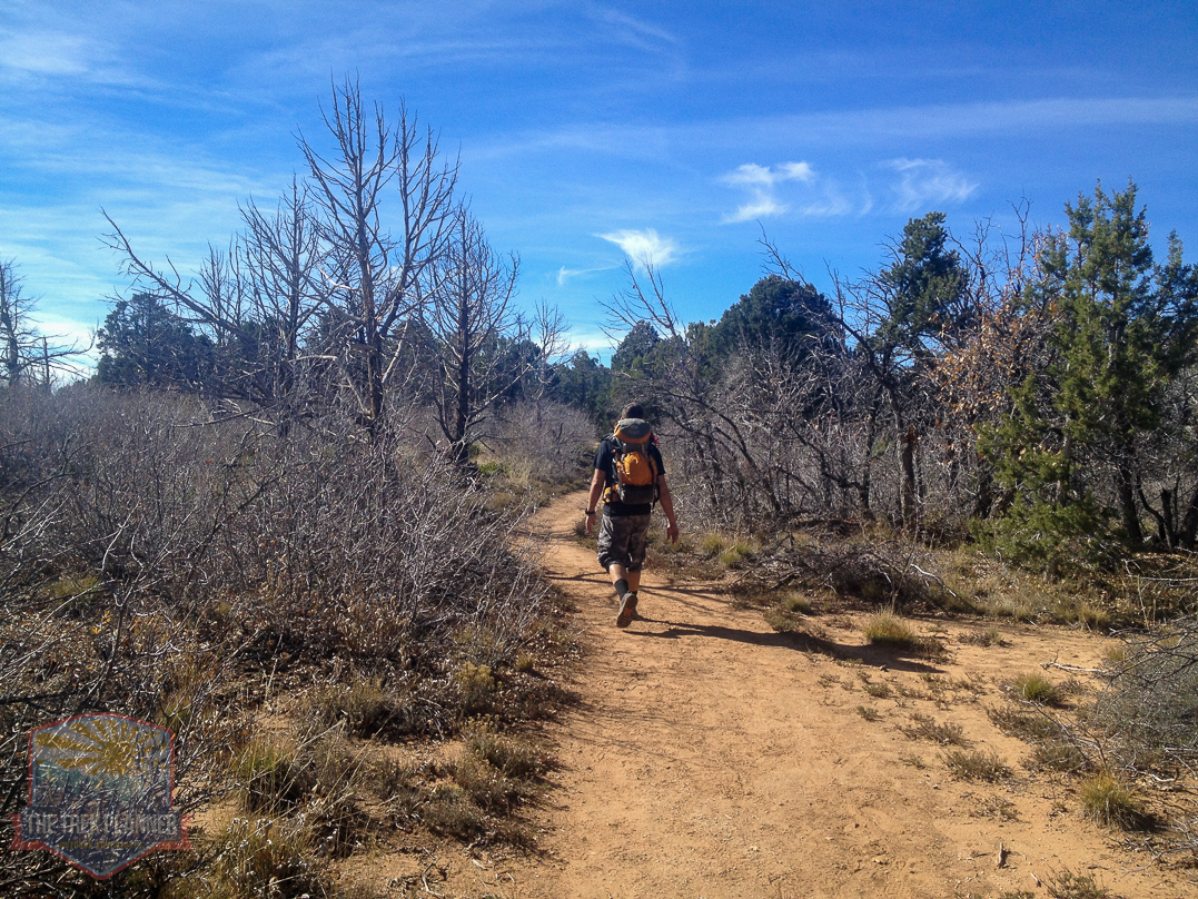
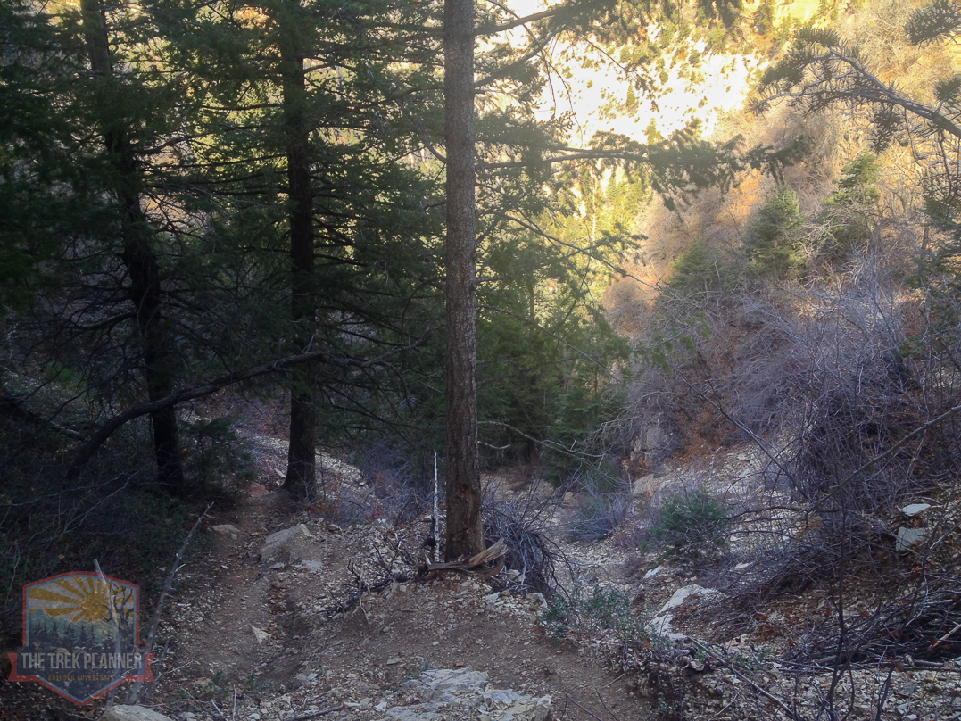
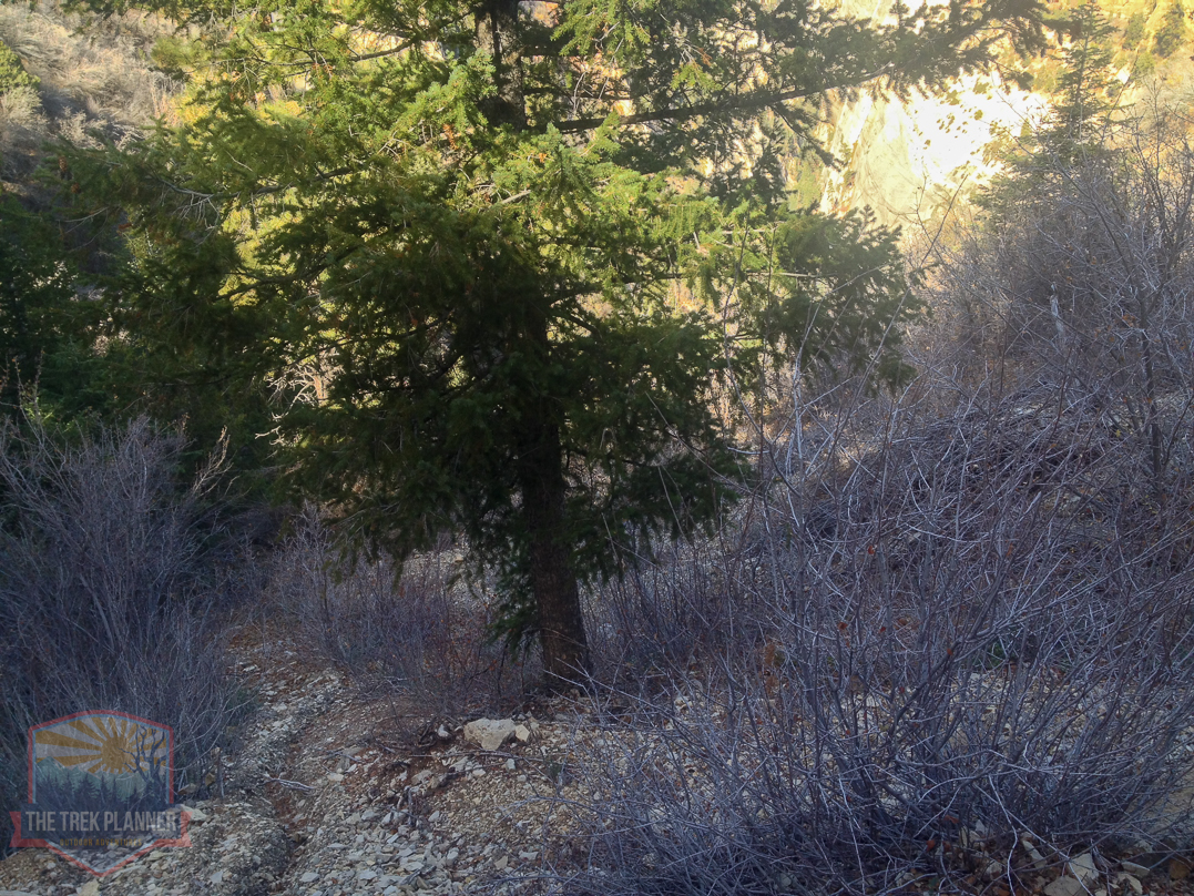
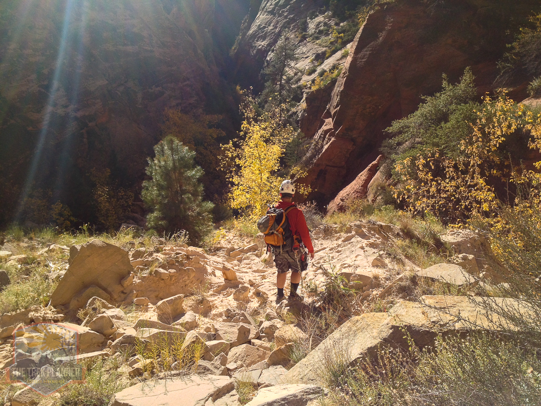
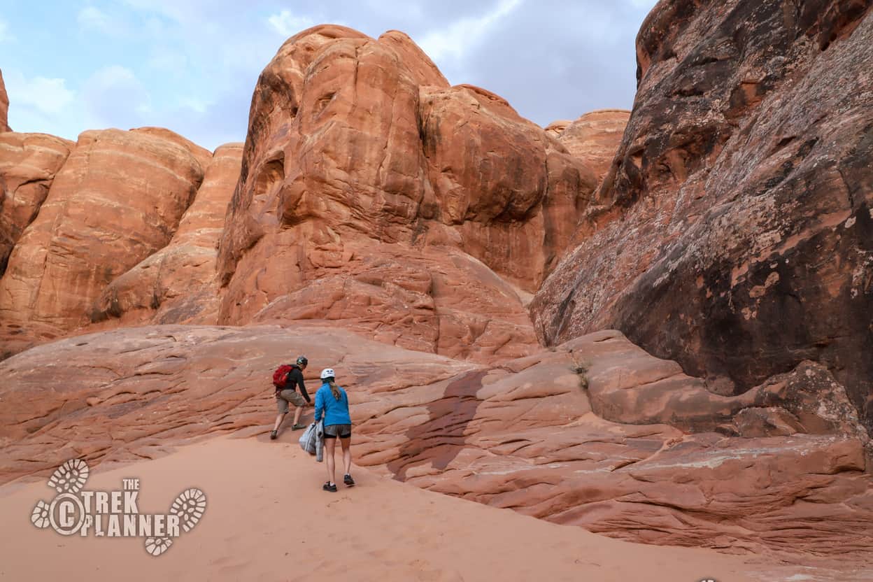
We started this hike from the Zion Ponderosa area. We like this approach because it is about 2 miles to the entrance to Mystery Canyon and it is nice and flat. This way we can save most of our energy and water for going through the canyon.
Our first time going through Mystery Canyon back in August 2008 we started the hike from the Observation Trailhead (Weeping Rock Trailhead) which is located at the bottom of Zion Canyon. This approach took us about 3 hours to hike and it is about 4 miles in length. We about drank all of our water and we hadn’t even started hiking in Mystery Canyon yet.
The Zion Ponderosa (Observation Point Trail) approach is flat and easy and we got to the Mystery Canyon entrance in less than an hour.
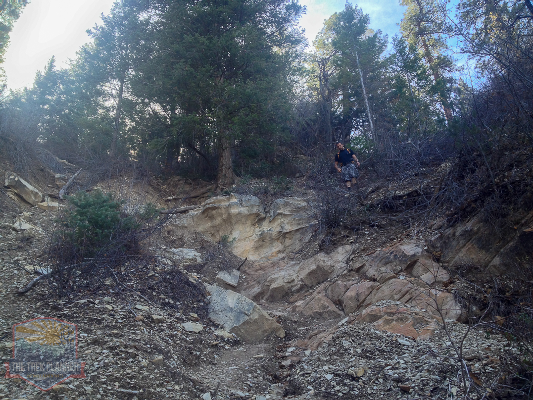
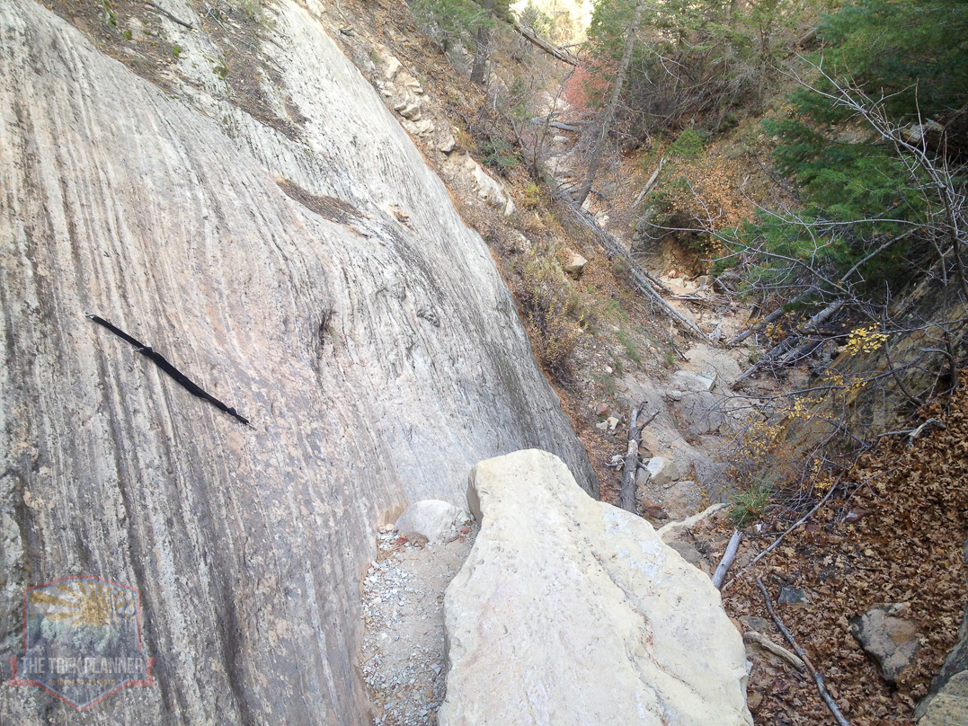
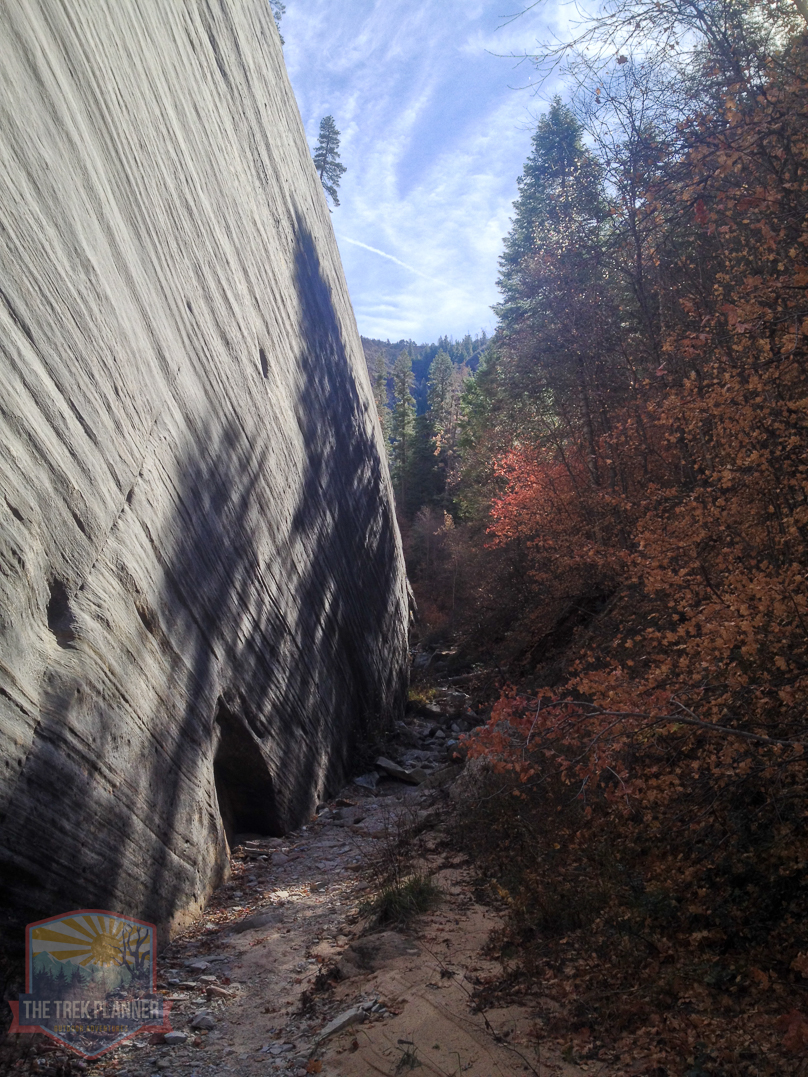
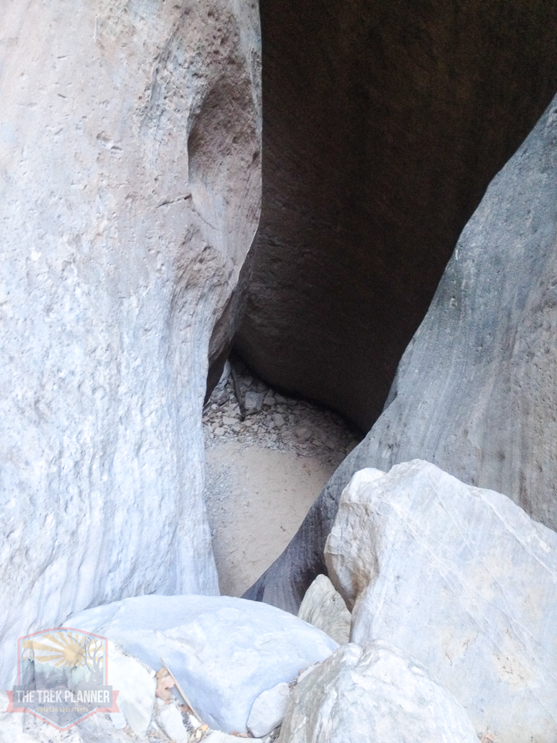
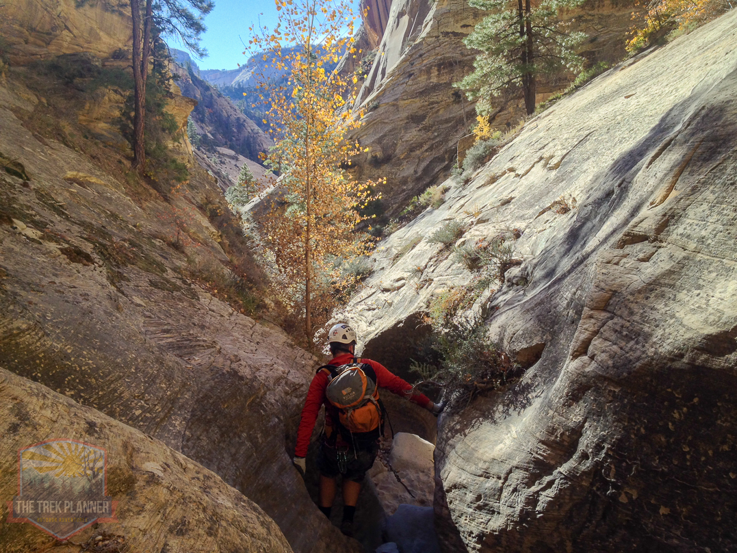
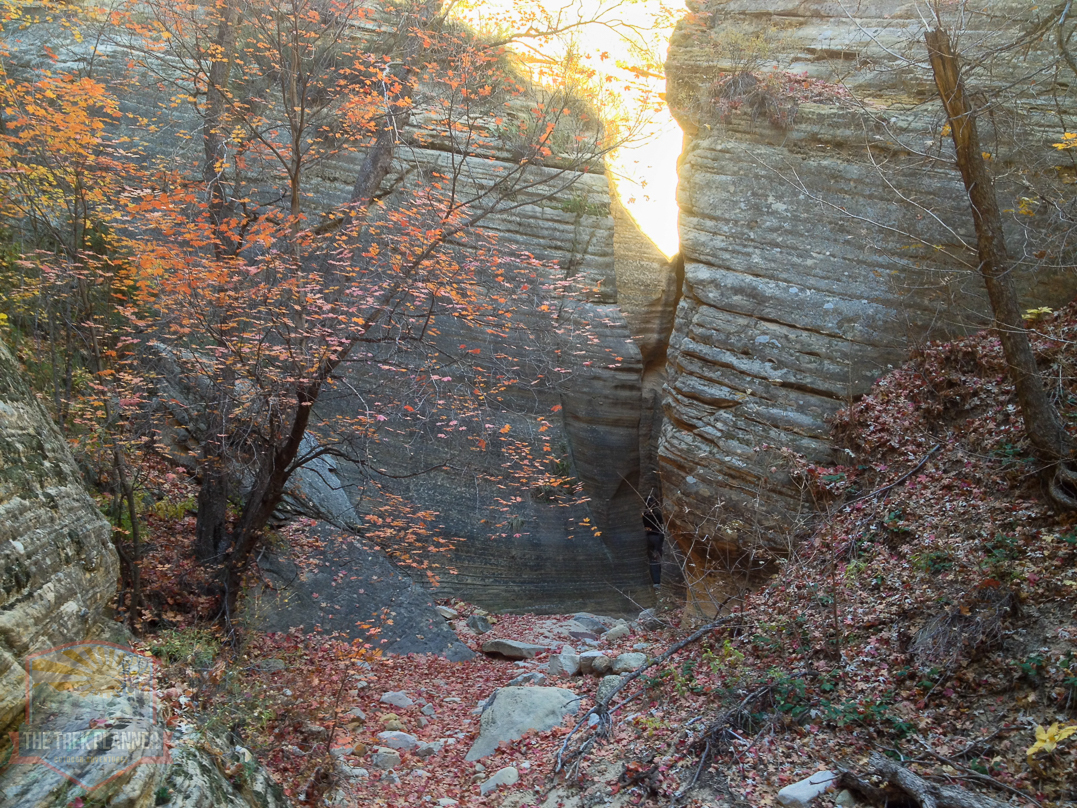
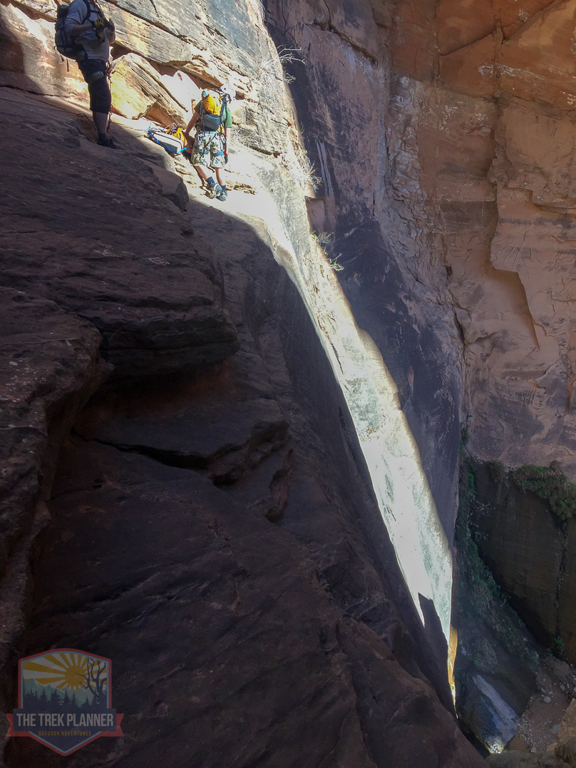
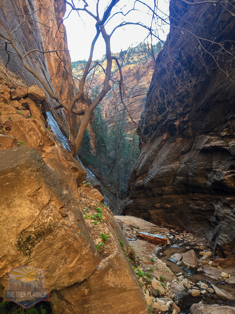
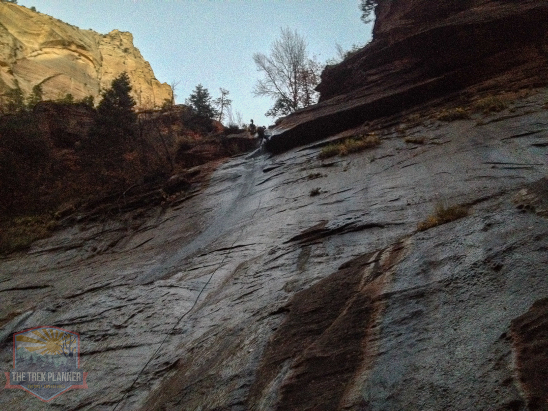
Below, you can see Mystery Canyon from the very top of the mesa. You will need to carefully hike down to the bottom of this canyon before you will be using any ropes.
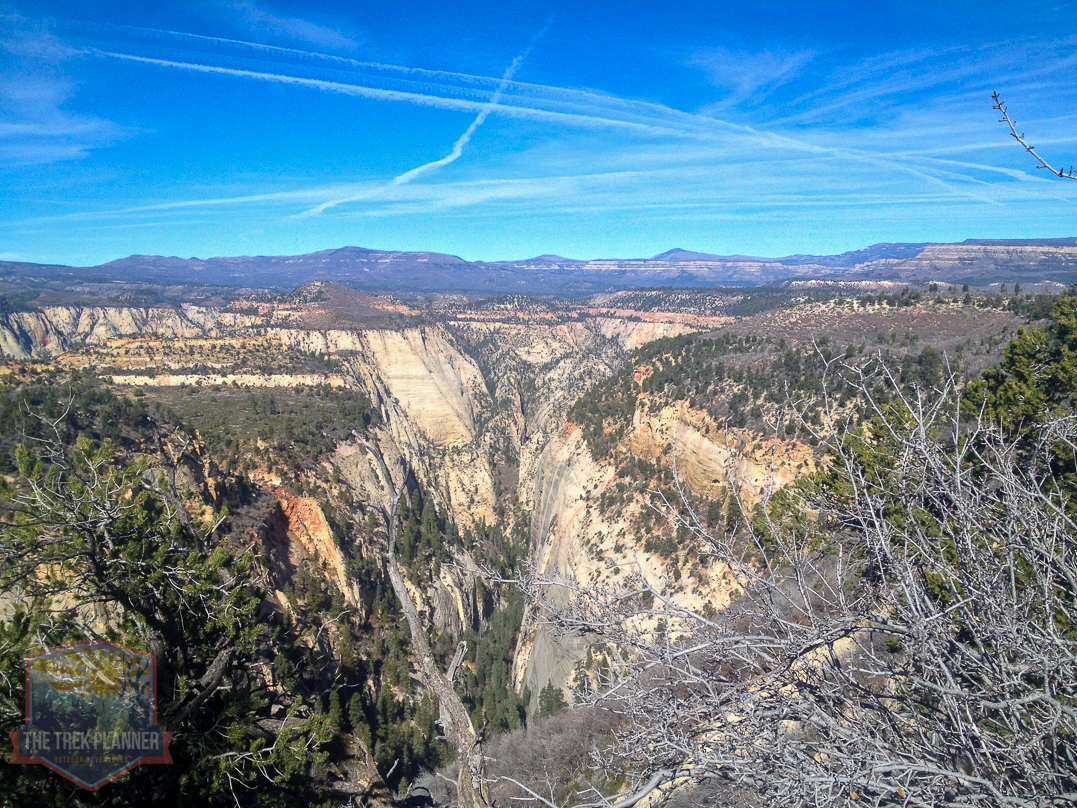
The hike down is very steep and precarious.
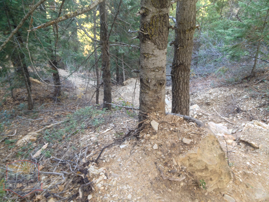
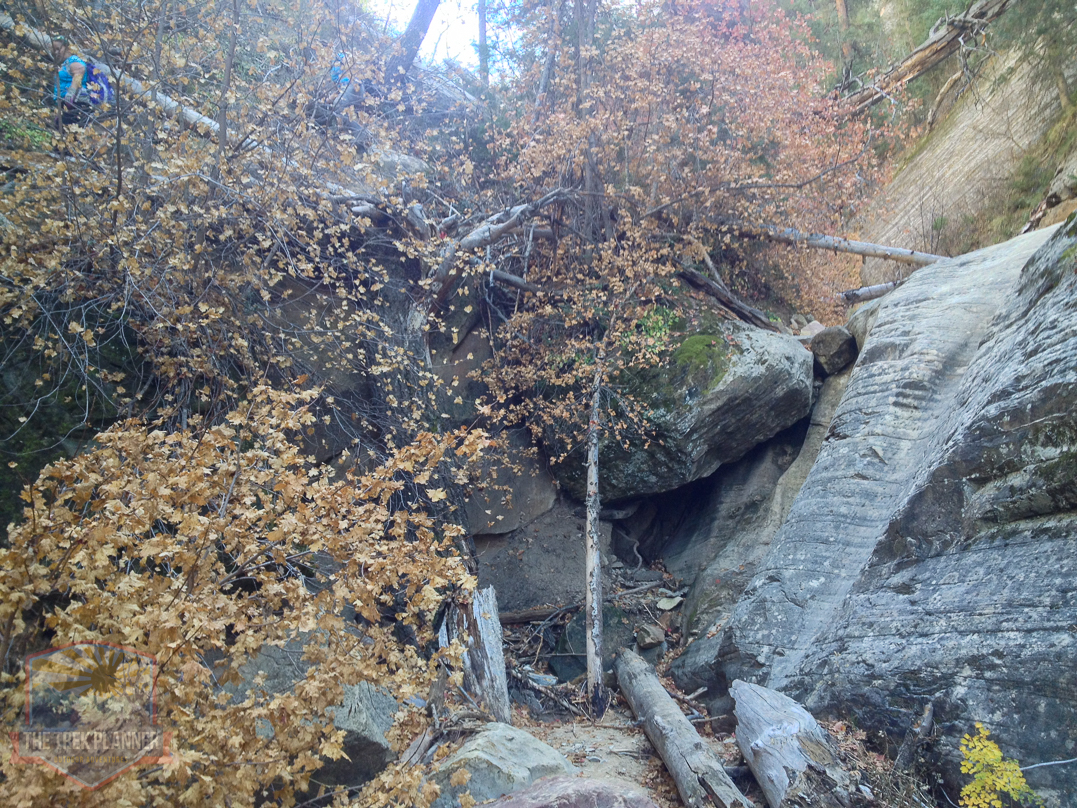
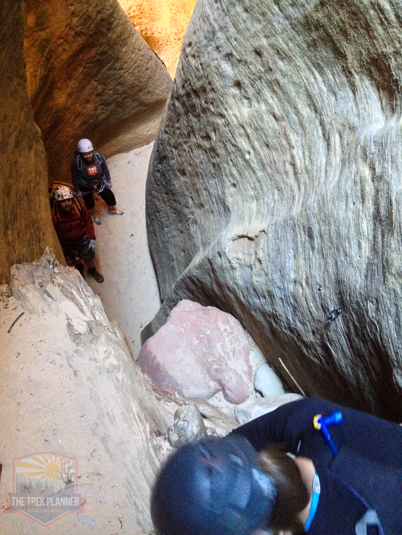
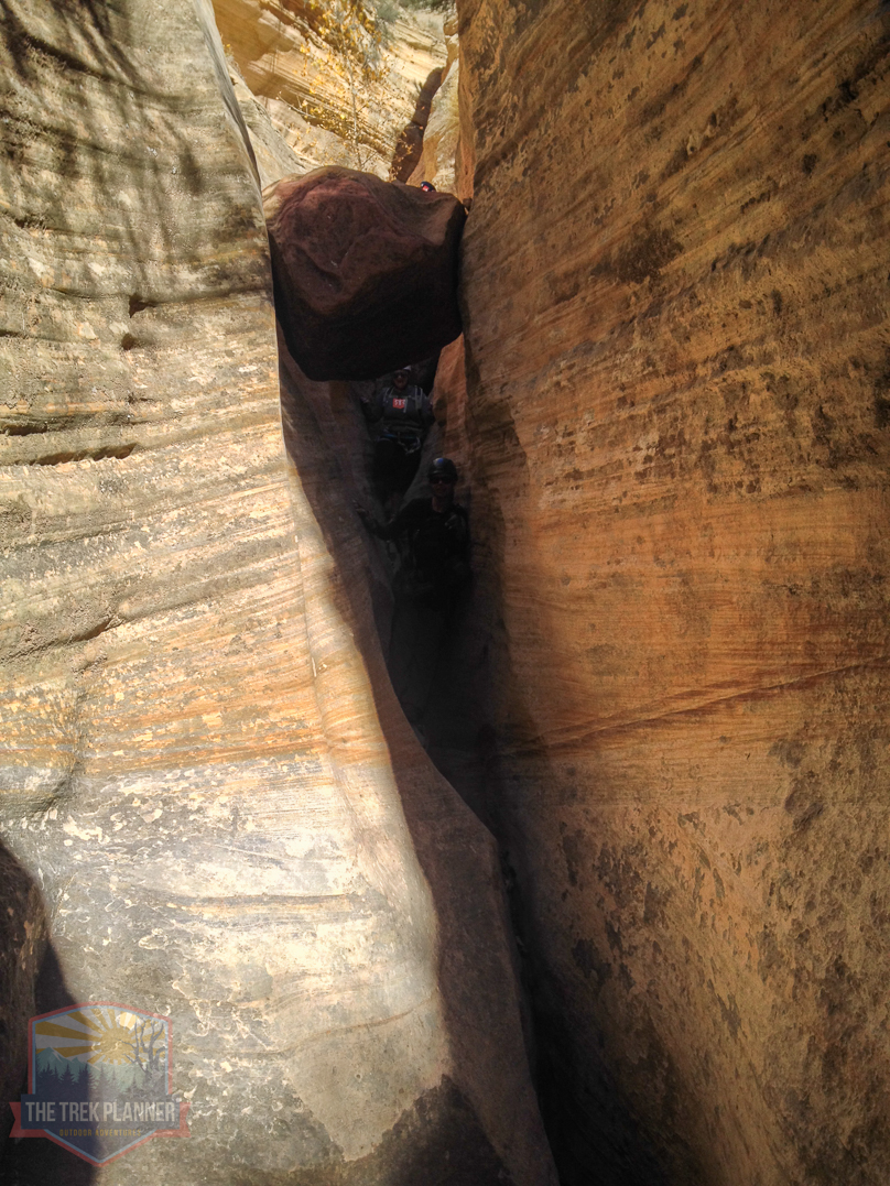
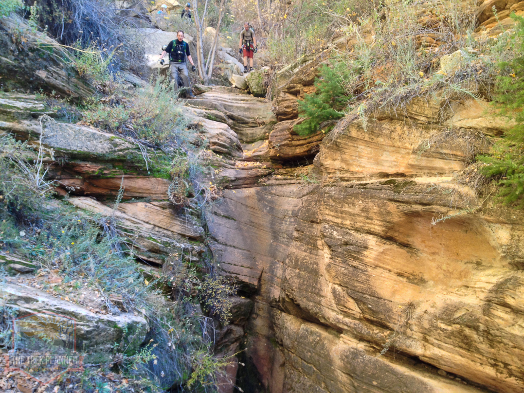
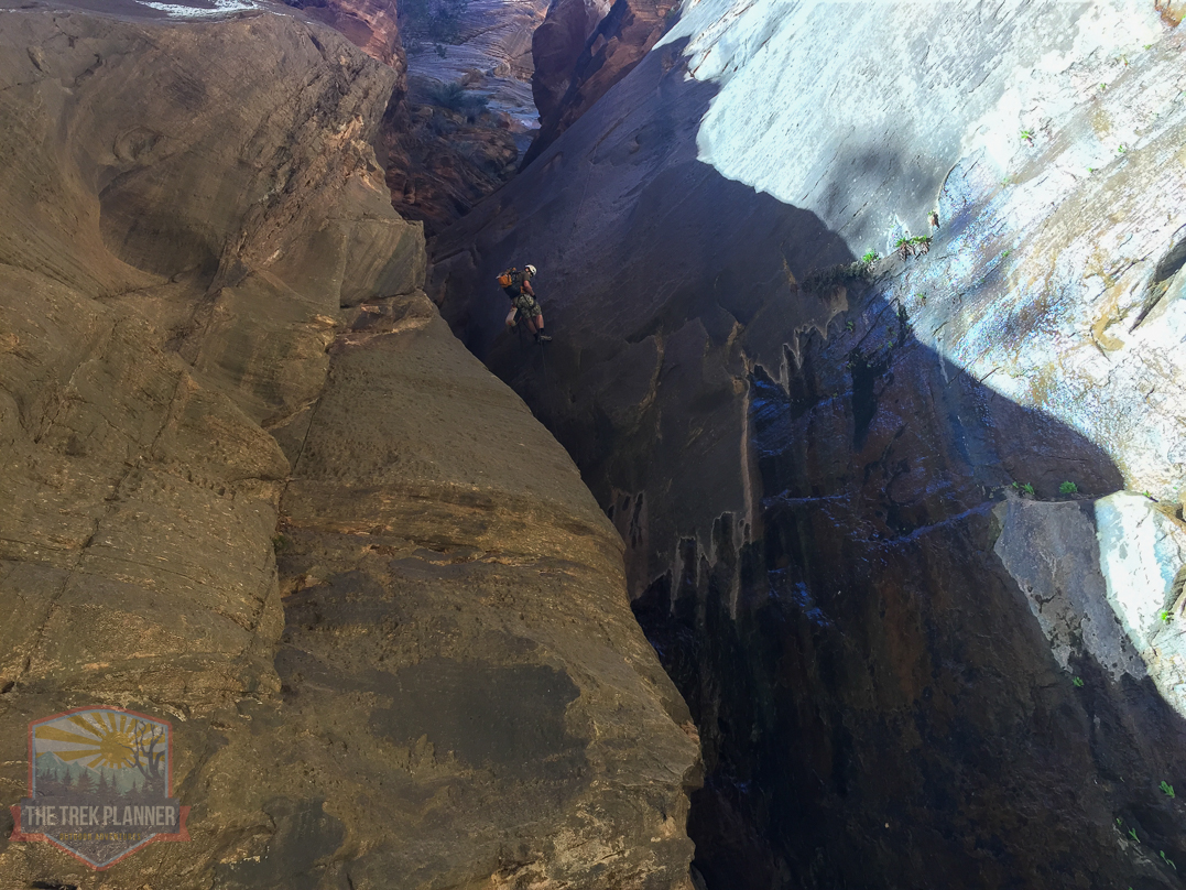
We passed by 3 optional places that you could use the rope. All 3 of these are easy to bypass with side trails. We didn’t even bother doing these 3 optional rappels because honestly, they are somewhat pointless.
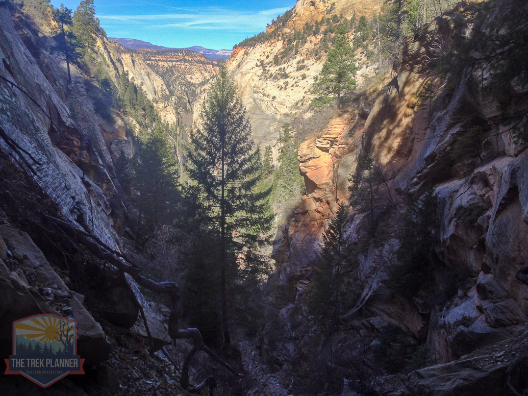
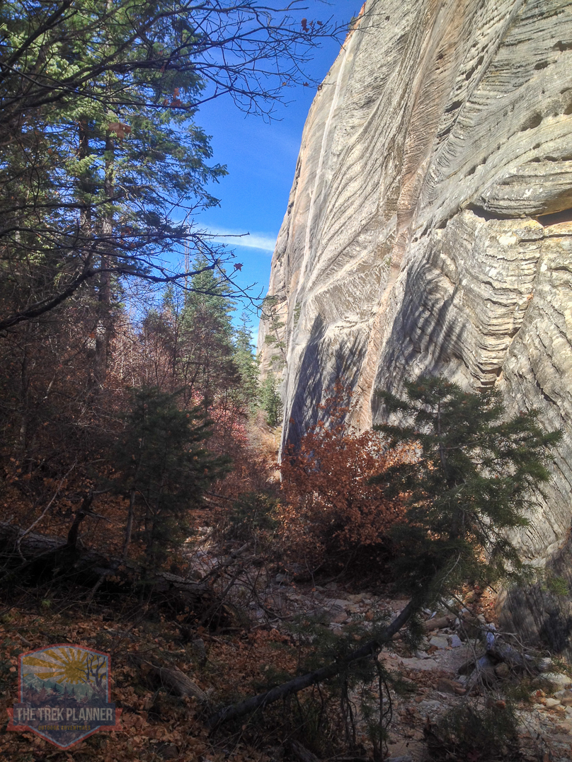
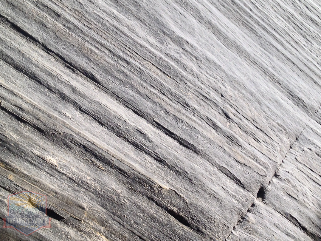
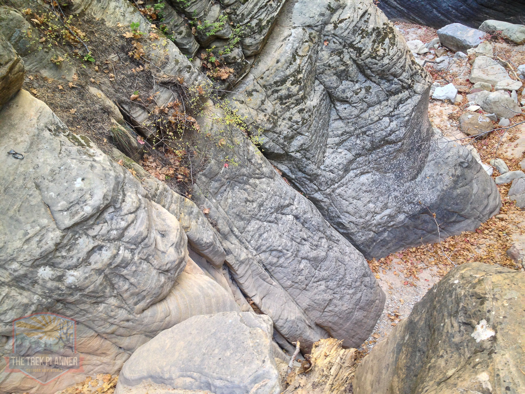
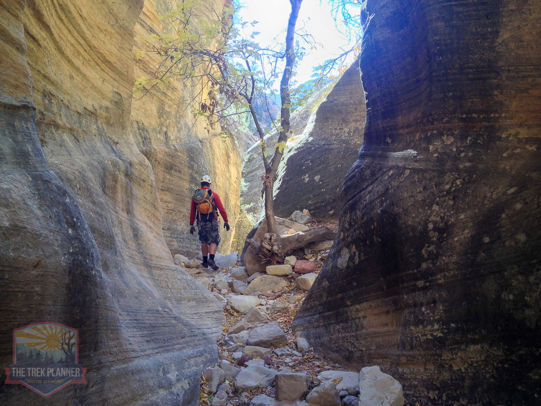
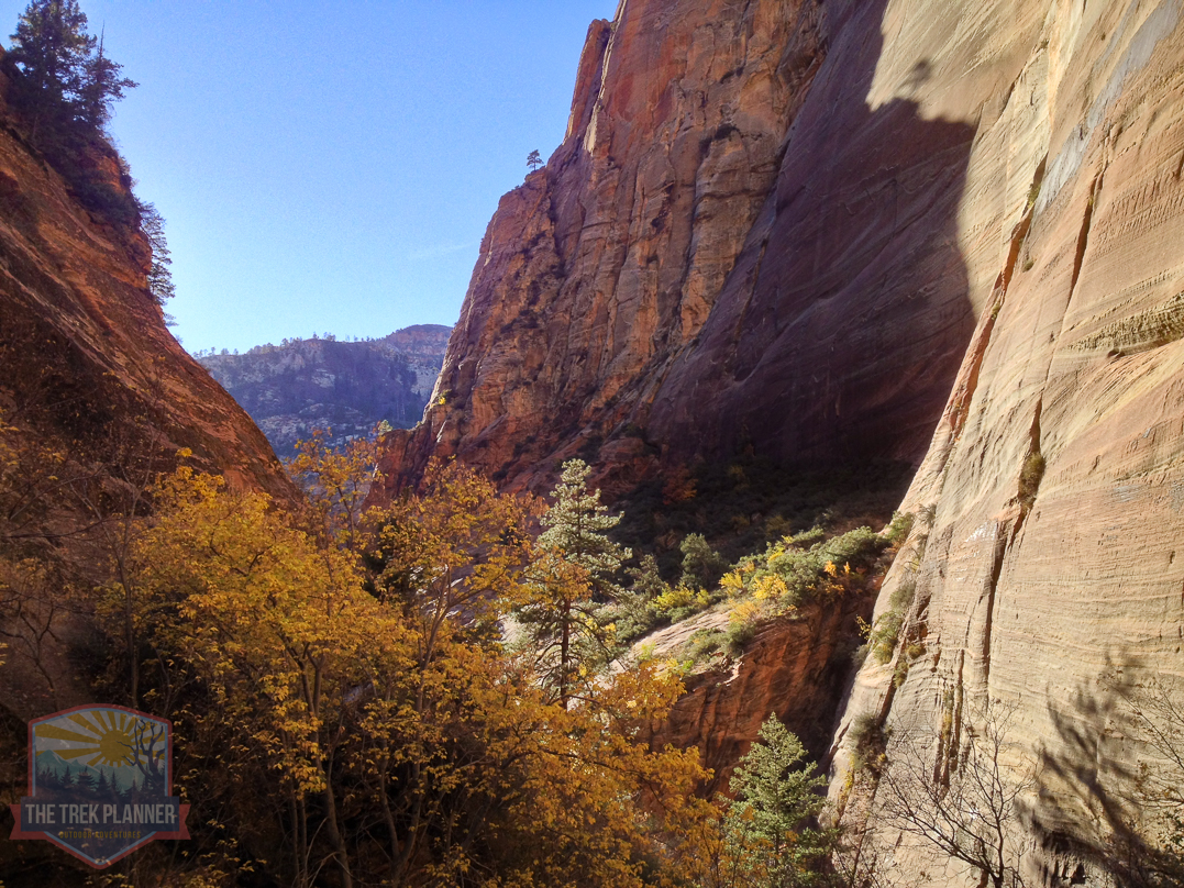
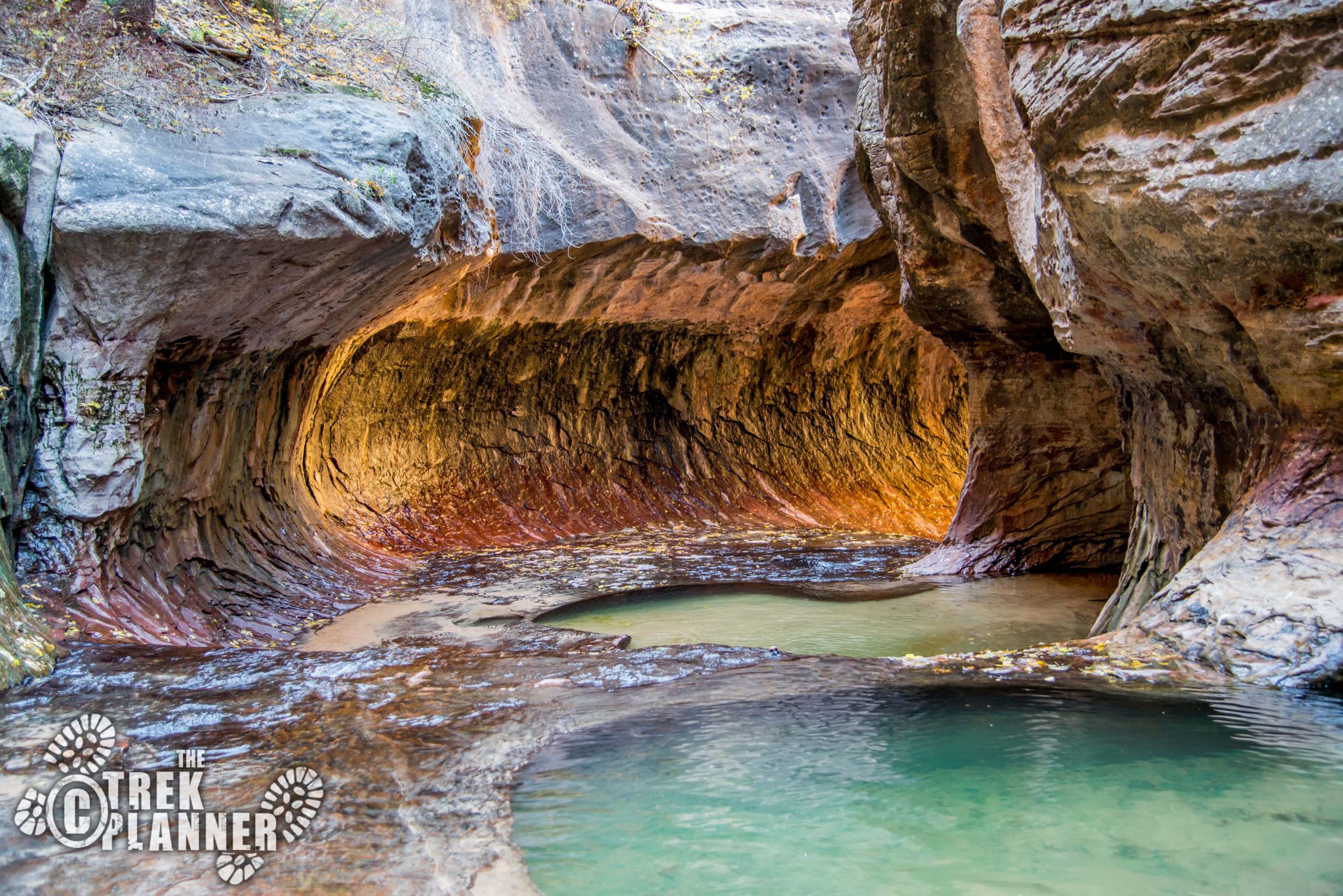
It really is a beautiful canyon.
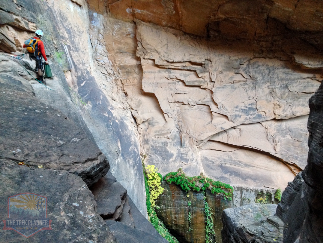
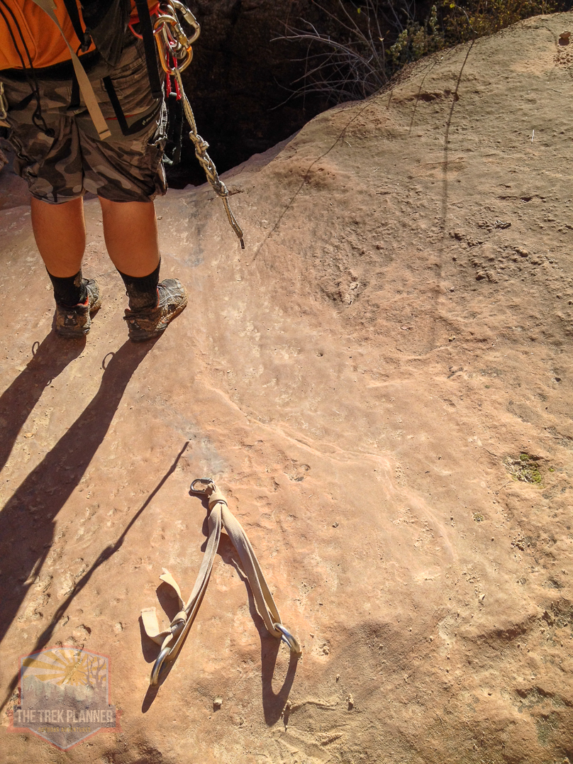
Here is another OPTIONAL rappel. It is about 15 feet in length and is, again, pointless. There is a side trail where you can bypass this. (you can see the rapide in the left center of the picture below.)
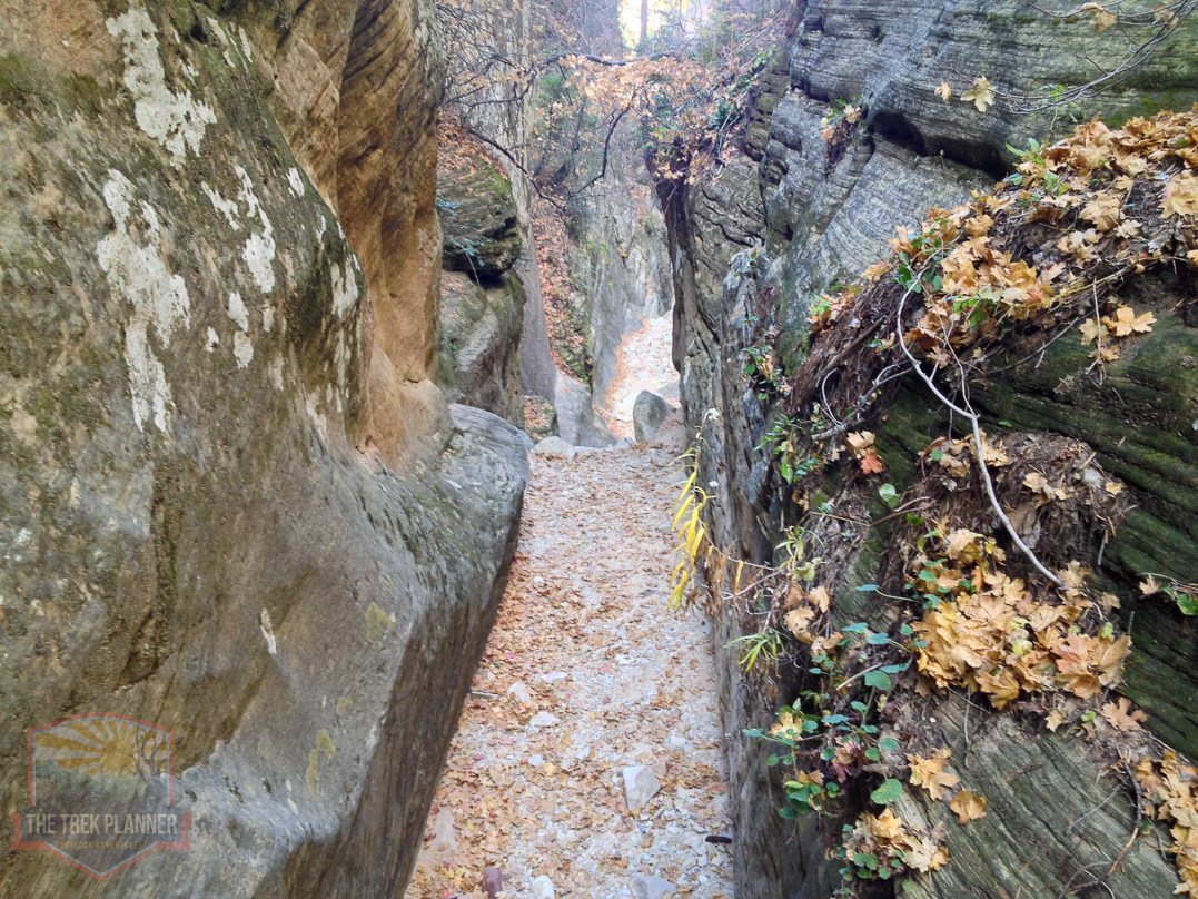
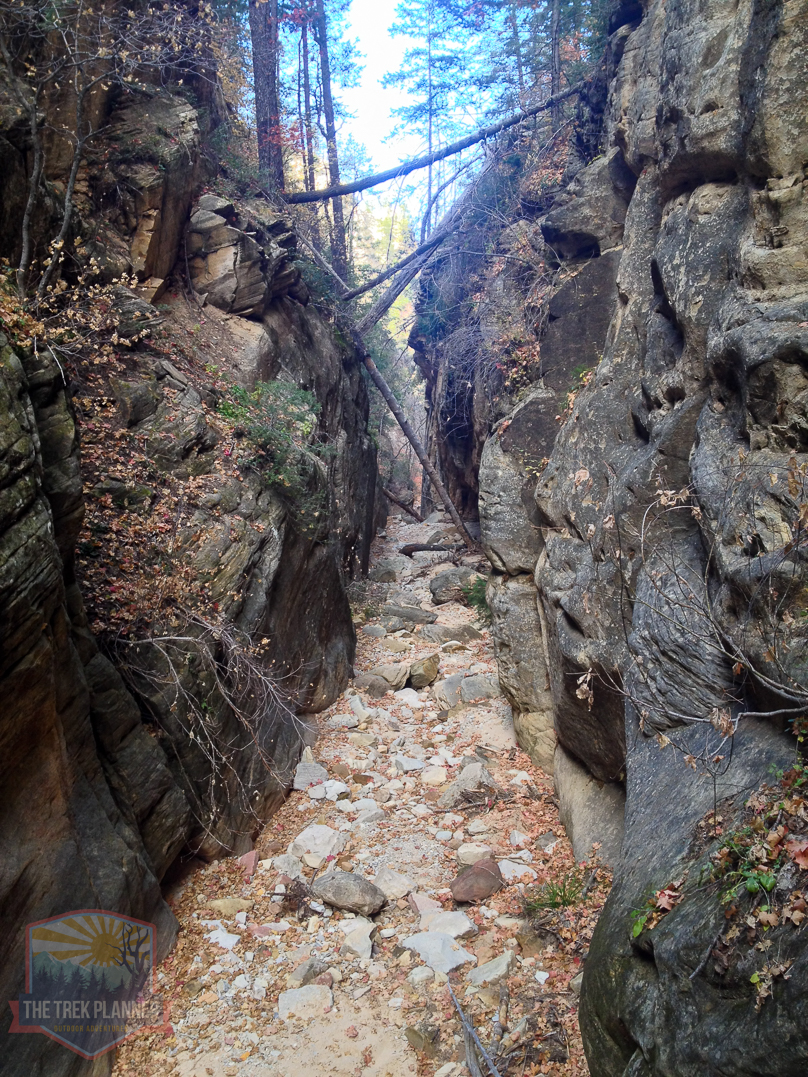
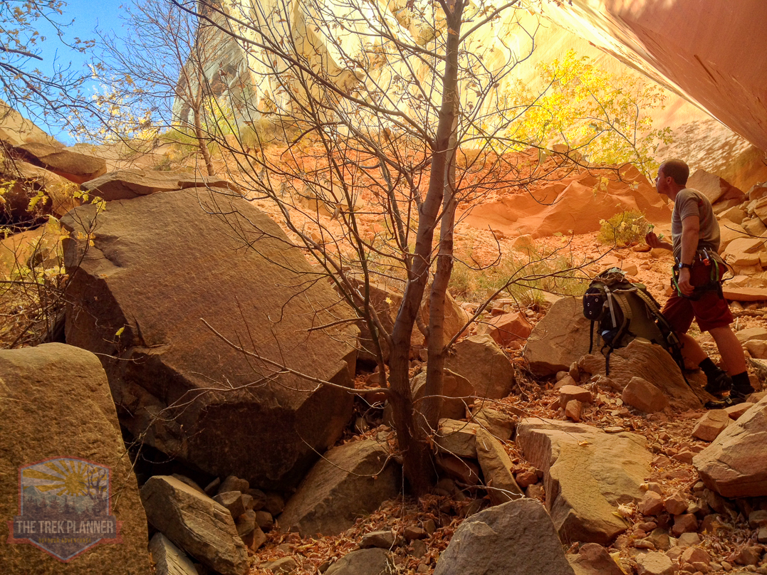
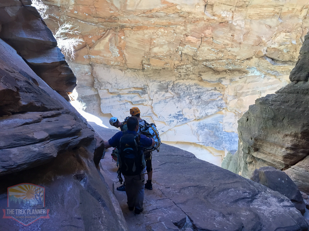
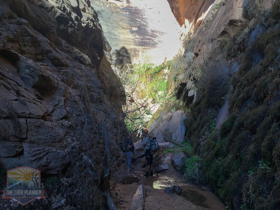
It is a good distance from the top of the mesa to the first rappel. Just take your time and enjoy the canyon as you wonder through it.
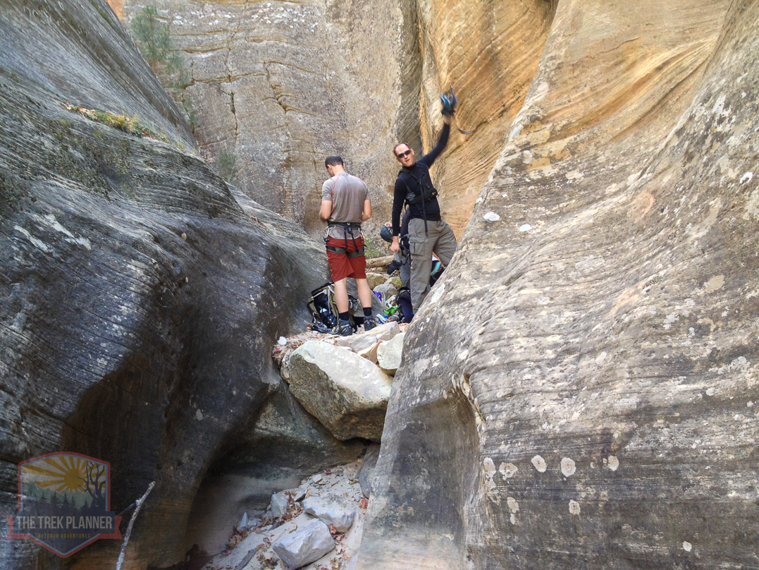
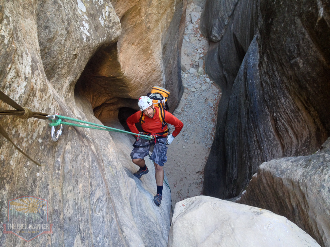
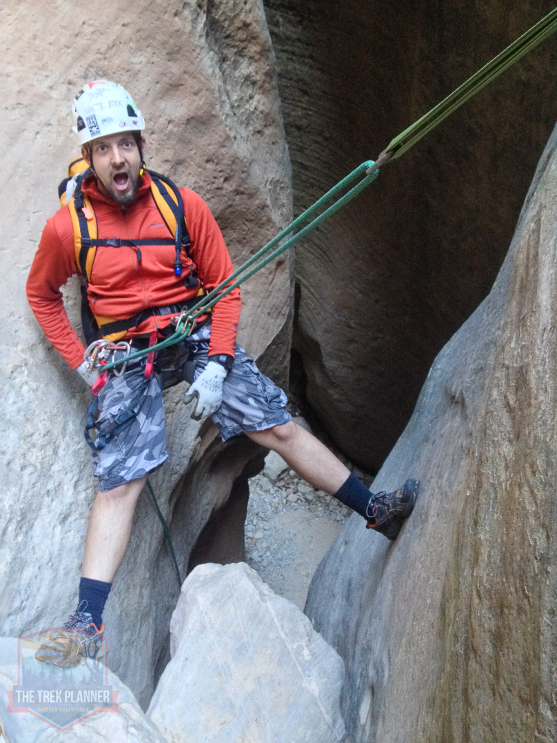
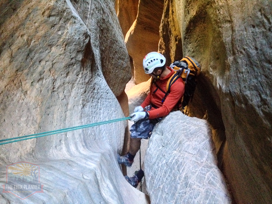
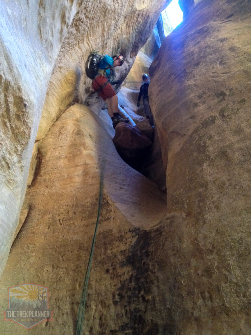
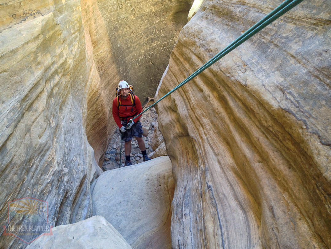
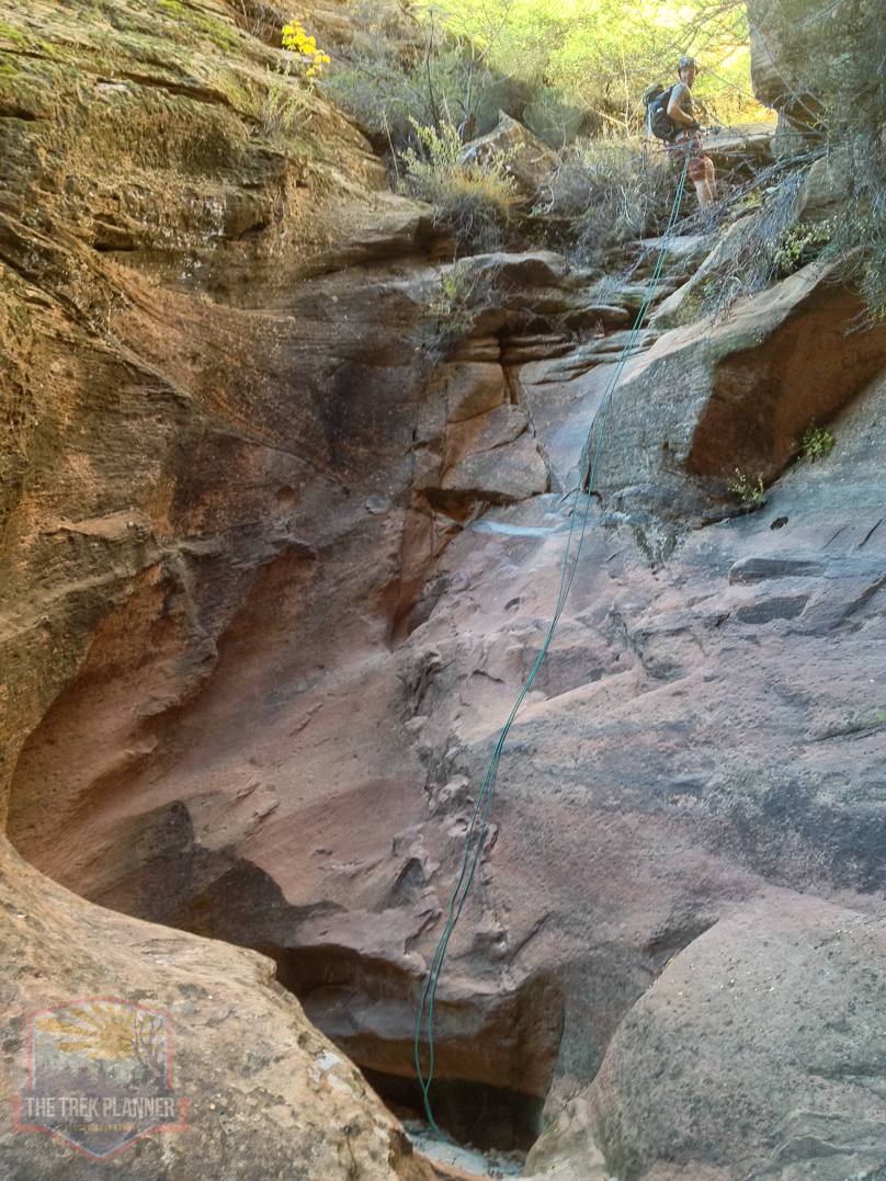
First Rappel
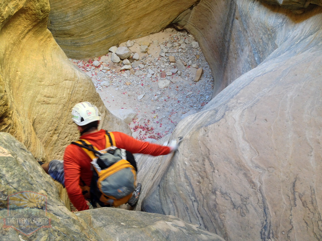
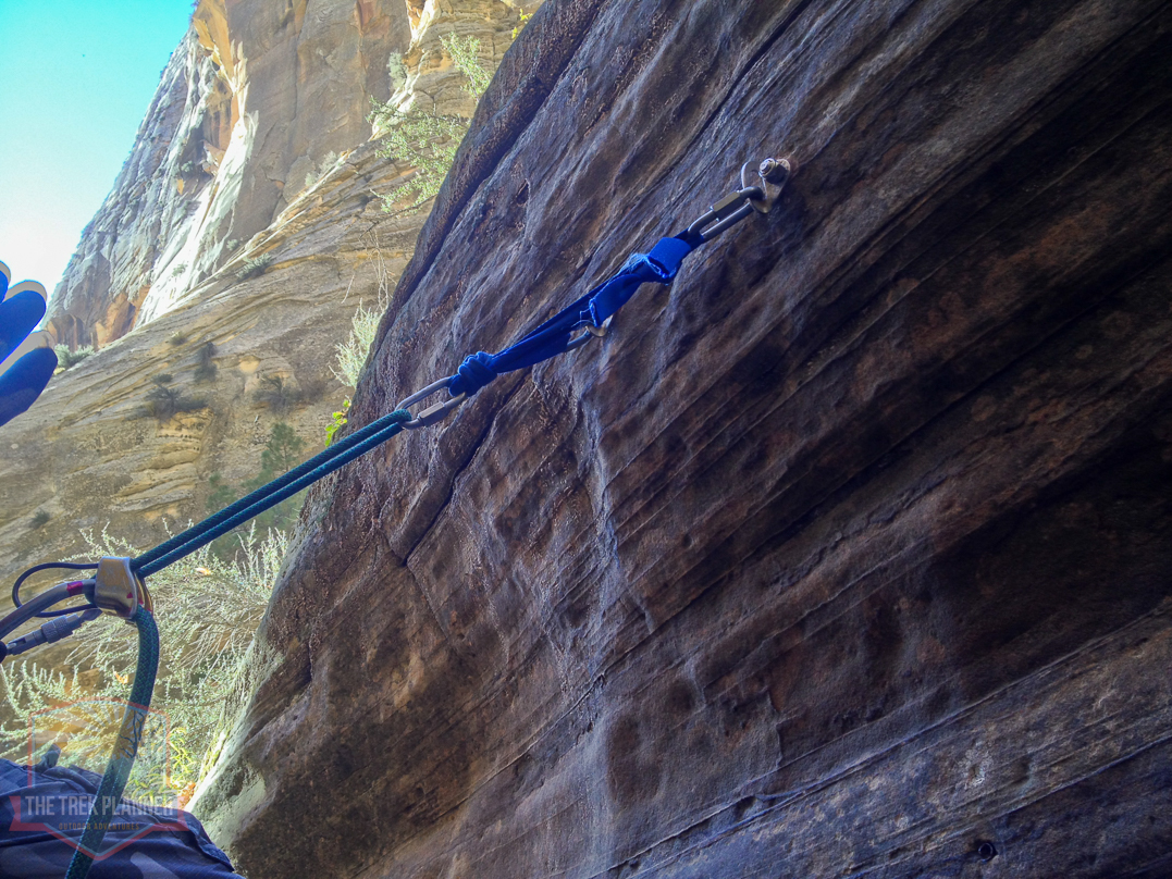
Eventually, the canyon will narrow tightly and you will come to the very first rappel. It is about 45+ feet in length and there are already anchors in place for you to use.
On the first rappel.
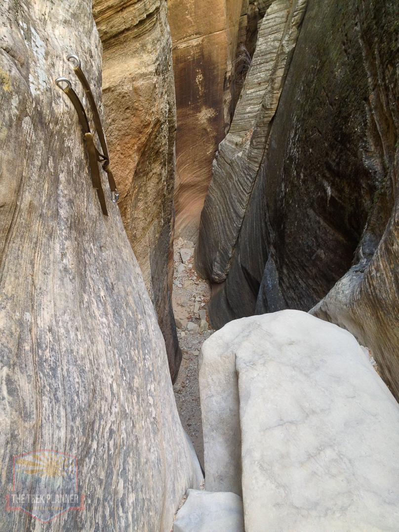
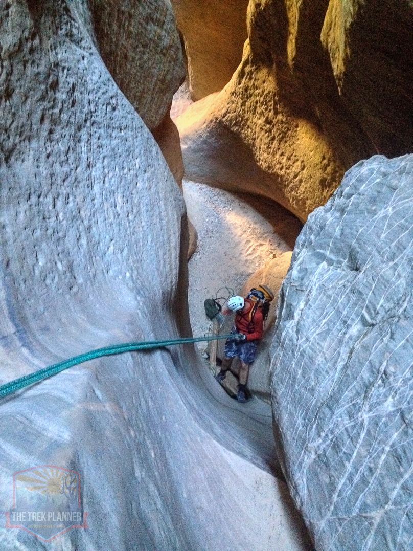
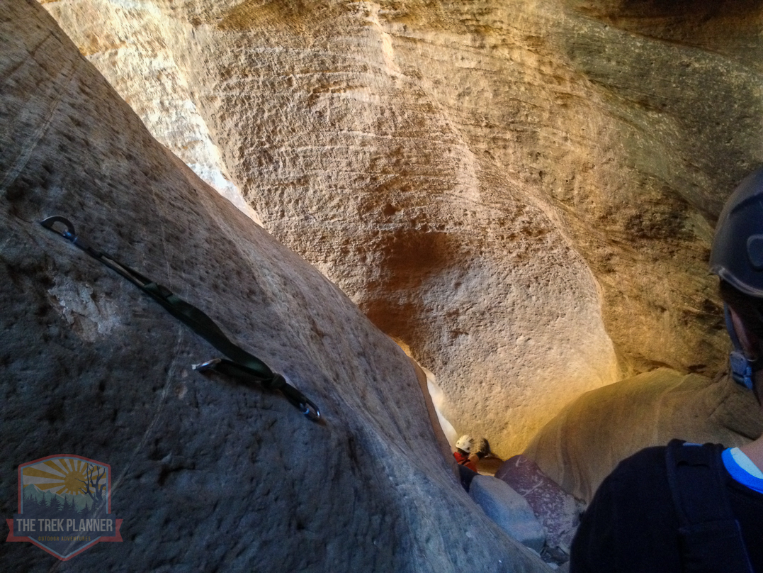
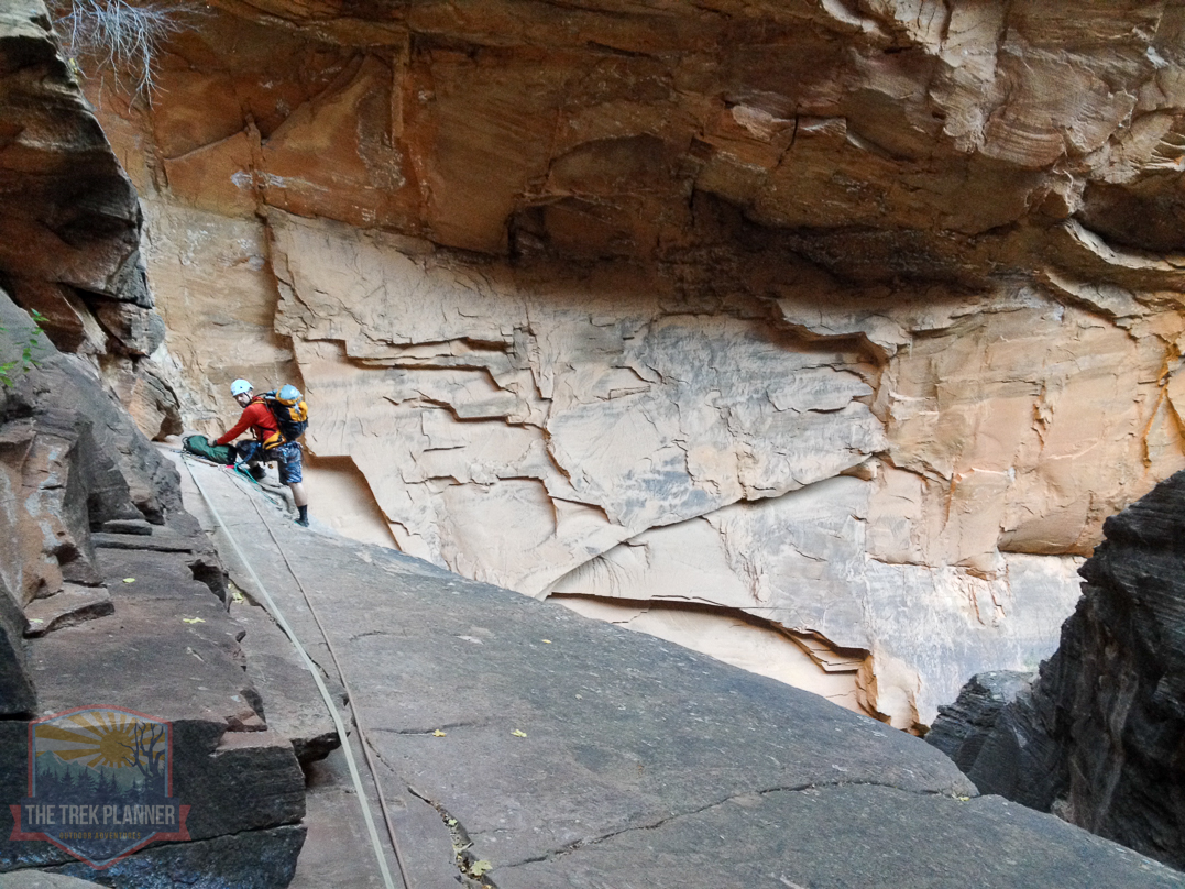
Second Rappel
Here is the second rappel which is located just next to the first rappel. It was probably 25 feet in length.
Another look at the second rappel.
Looking up from the second rappel.
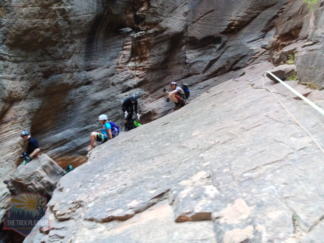
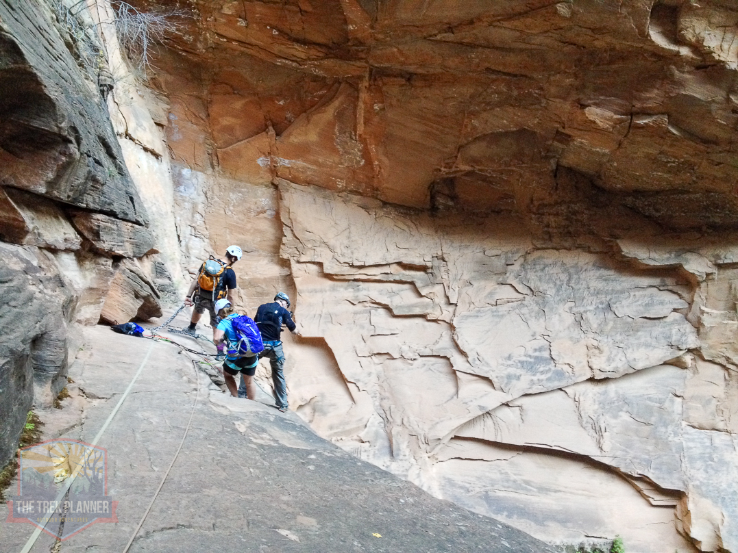
Third Rappel
The third rappel is also close the the first and second rappels. We didn’t even bother putting our rope back in the rope bag since the first few rappels are consecutive.
The third rappel is about 25+ feet in length.
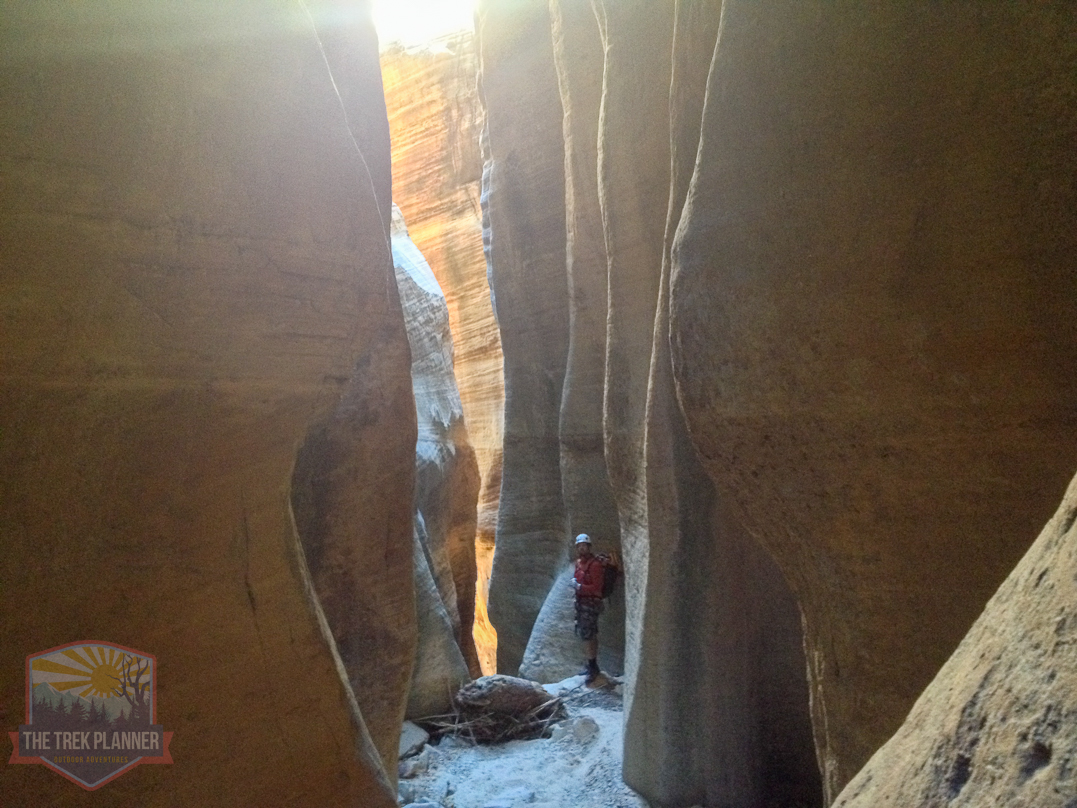
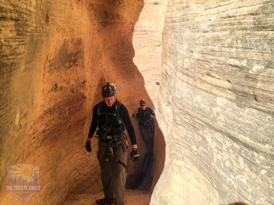
The slot canyons are impressive and incredible to see for yourself!
Fourth Rappel
Here is the fourth rappel. It isn’t too much farther from the 3rd rappel. It is about 40+ feet in length.
Coming down the 4th rappel.

Fifth Rappel
Here is the 5th rappel. It was about 15 feet in length.
Sixth Rappel
The 6th rappel could technically be done by down climbing but we wanted to be safe so we just used the rope again. It was about 35 feet in total length.
Just outside the slot canyon after the 6th rappel. We stuffed the rope in the rope bag and made our way to the 7th rappel.
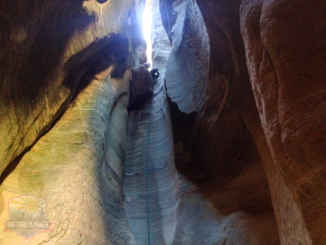
Seventh Rappel
The 7th rappel is about 20+ feet in length too.

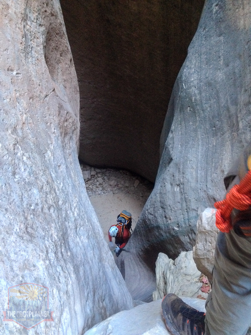
Looking up from the slot canyon.
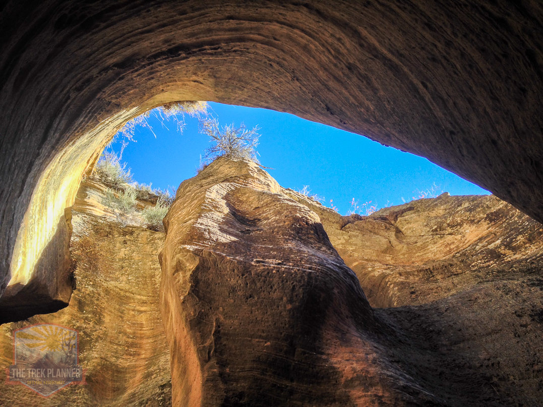
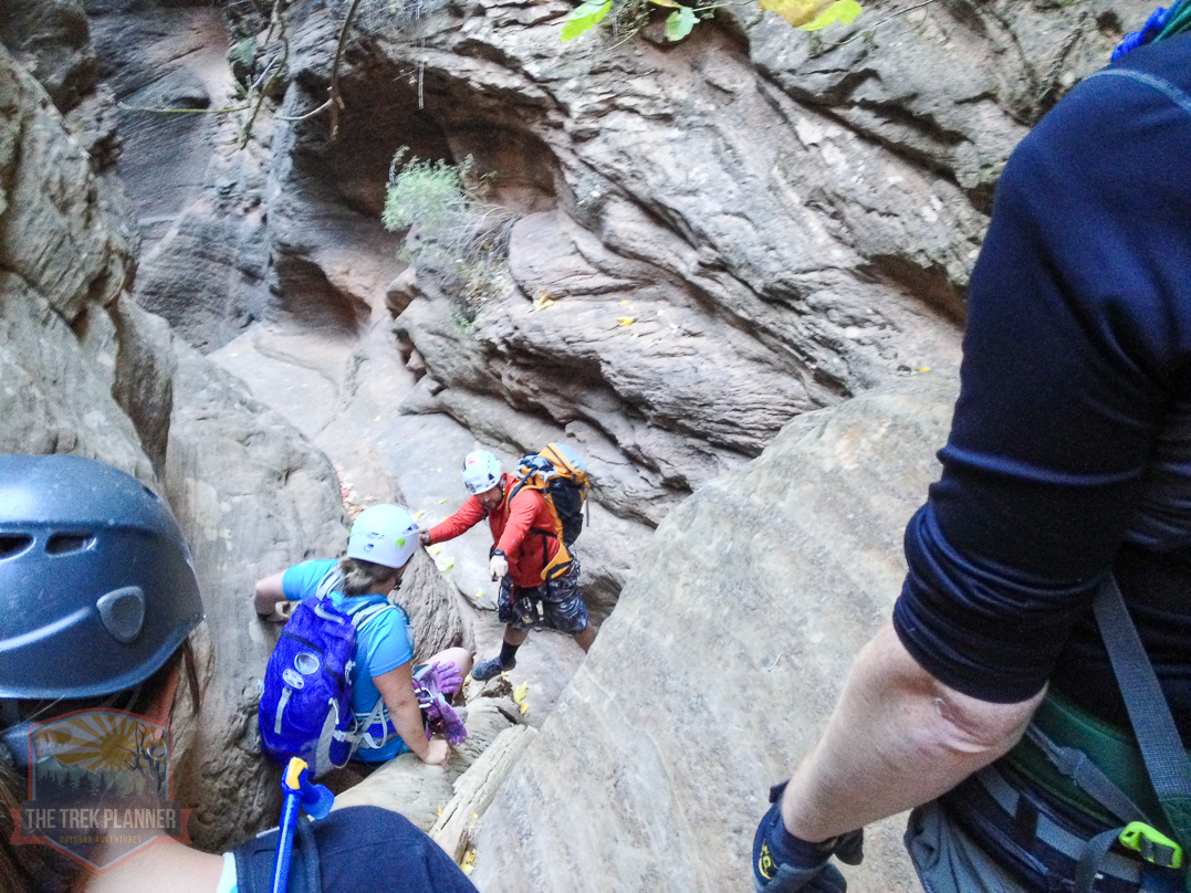
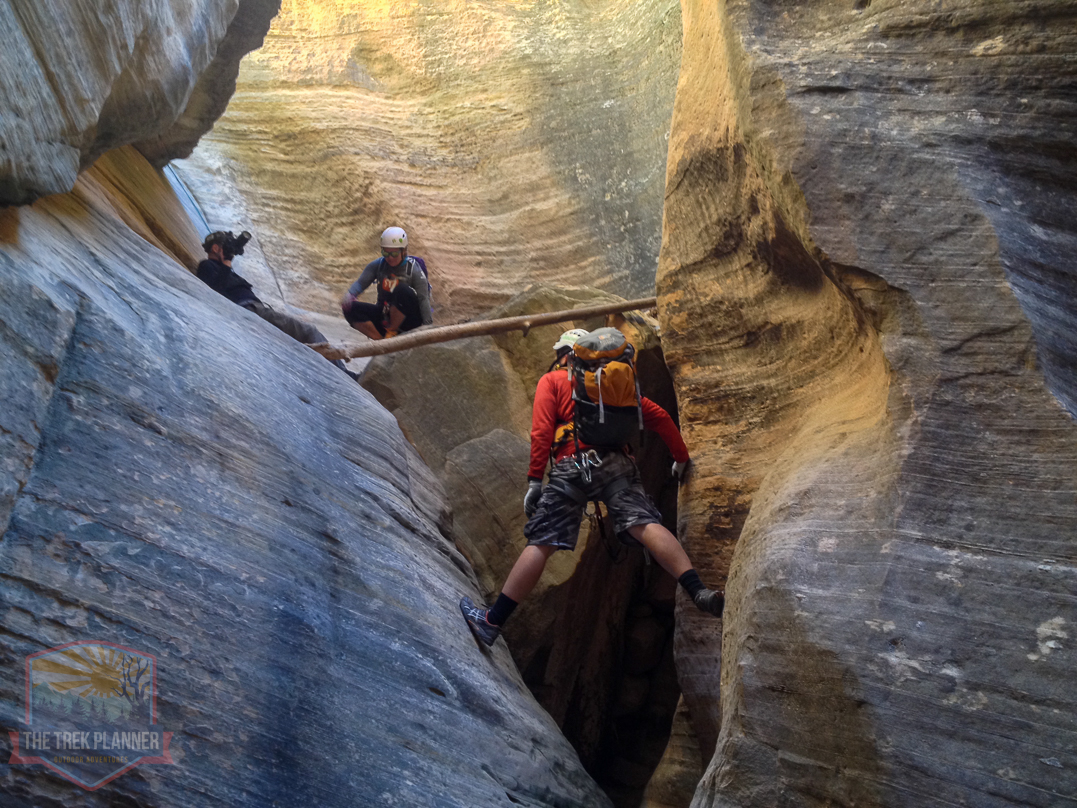
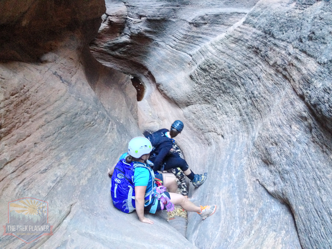
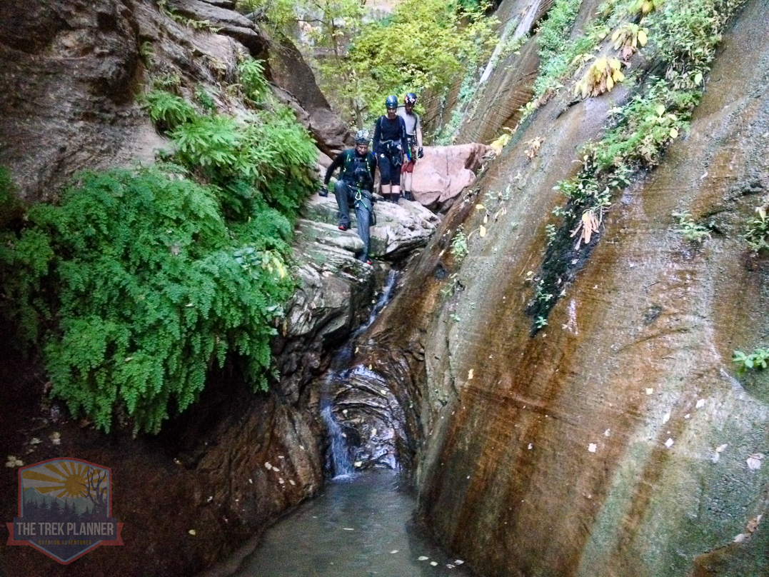
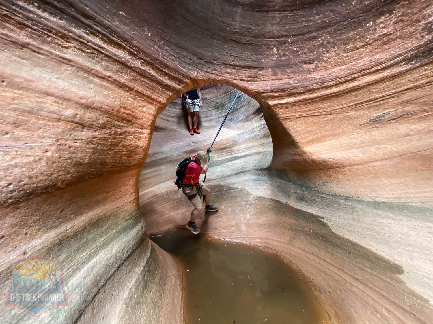
There are a few areas where you may want to help others in your group down climb. This area is one of those and it is located just below the 7th rappel.
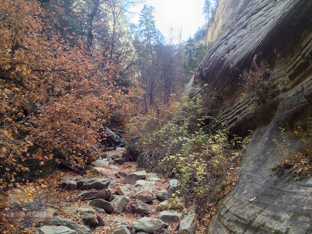
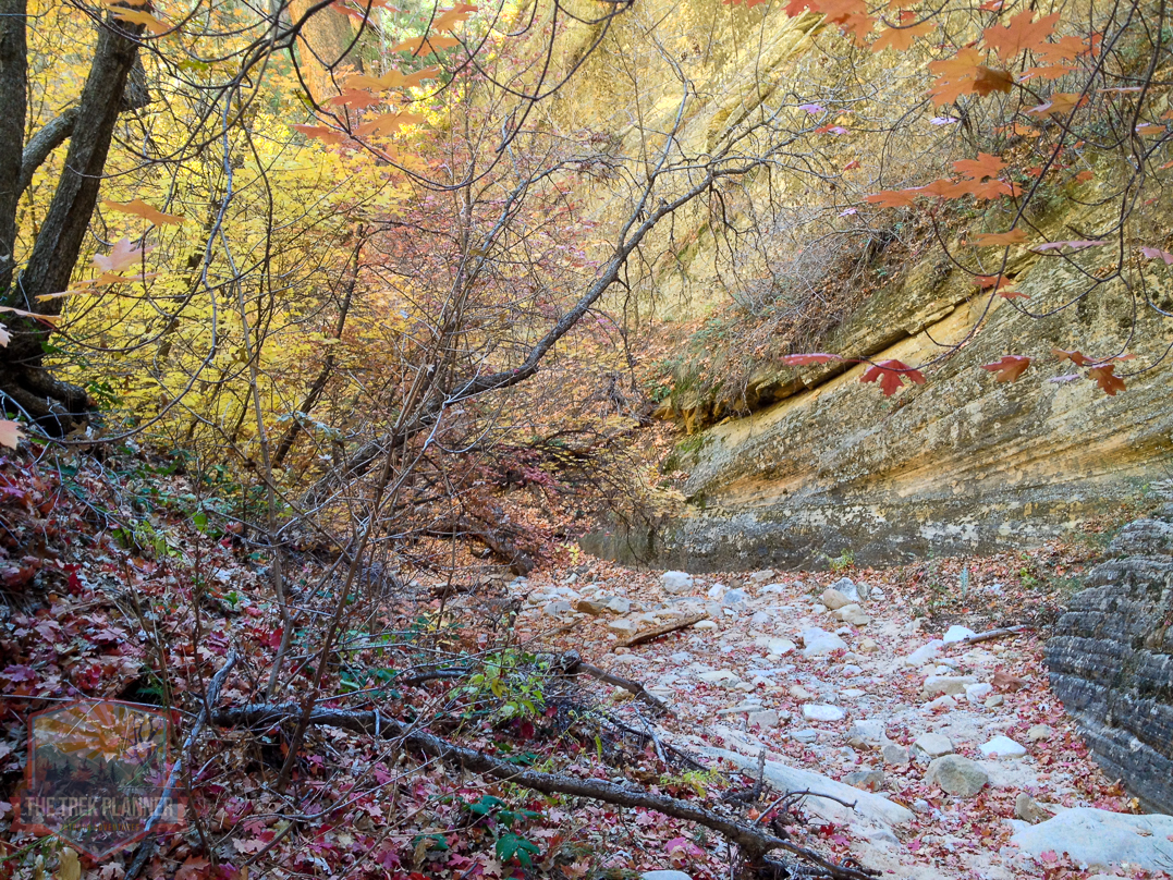
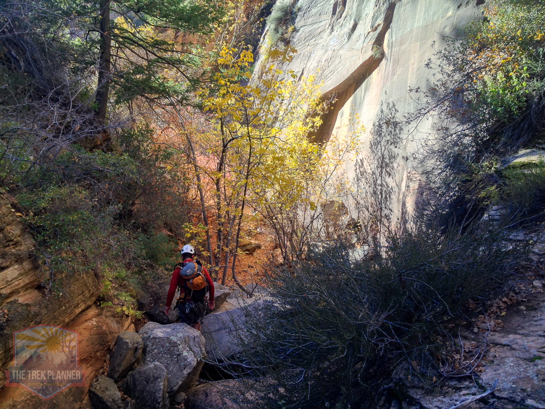
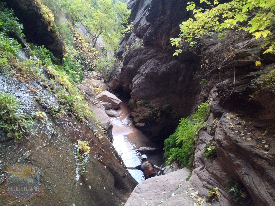
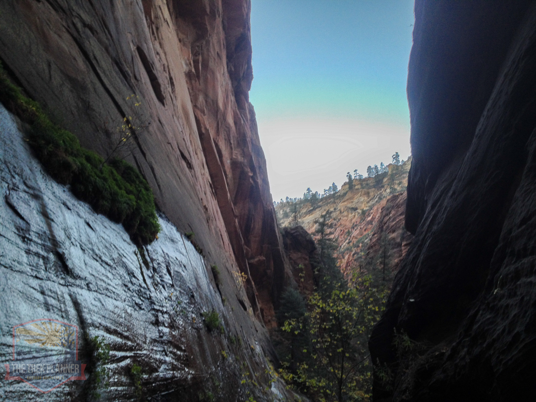
The canyon opens up again and you will see many oak sage, cottonwoods and even pine trees. Fall really is the best time to see this canyon.
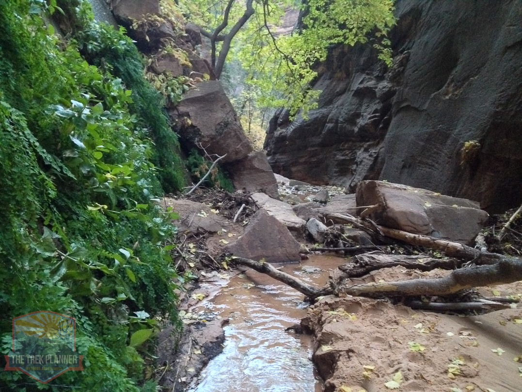
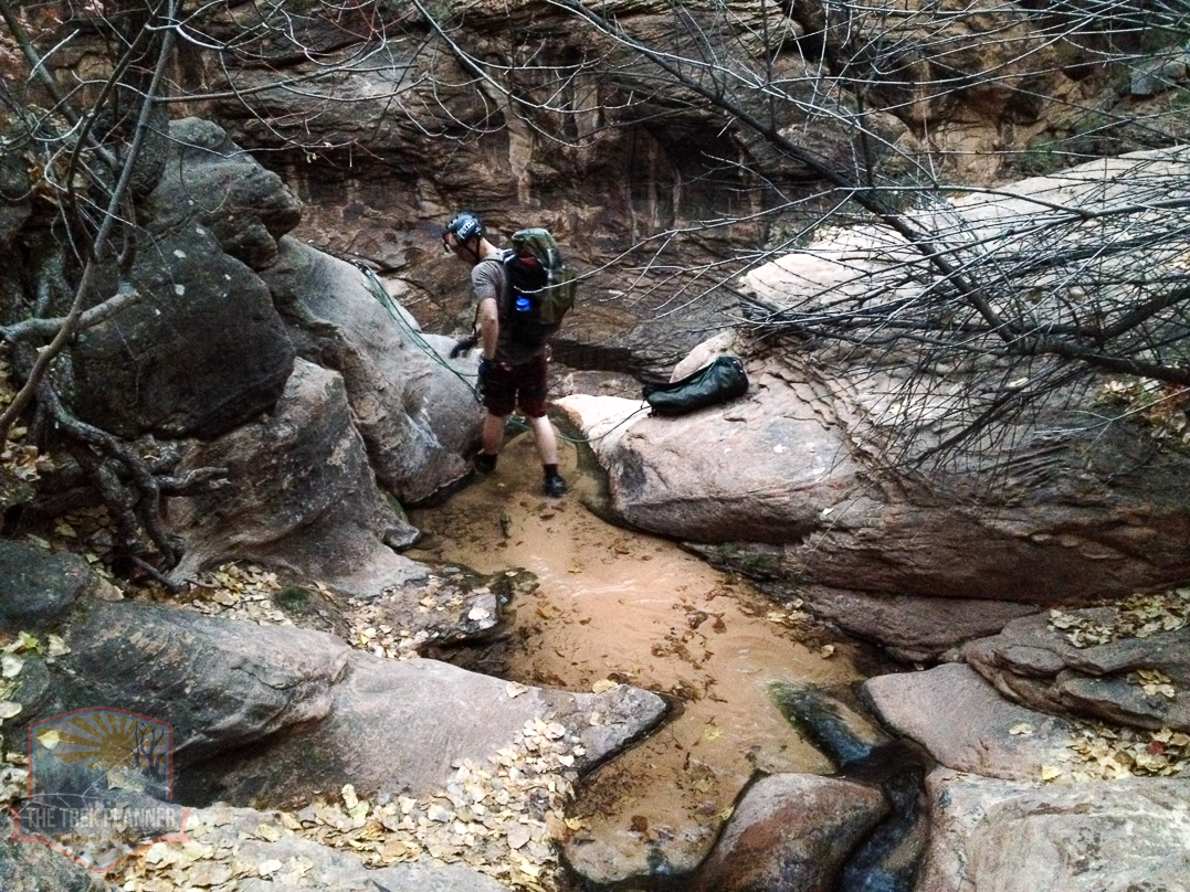
After a few hundred yards of hiking you will come to the “Landslide Area” You can see in the picture a giant wall of dirt and rock piled up in the distance. Usually, there isn’t water in this location but the week before our arrival there was a torrential storm that caused flooding and unfortunately for us we had to trudge through the muck. It was only about waist level but still it was dirty and slimy. Nasty!
It was about a 75 foot walk through the water to reach the otherside.
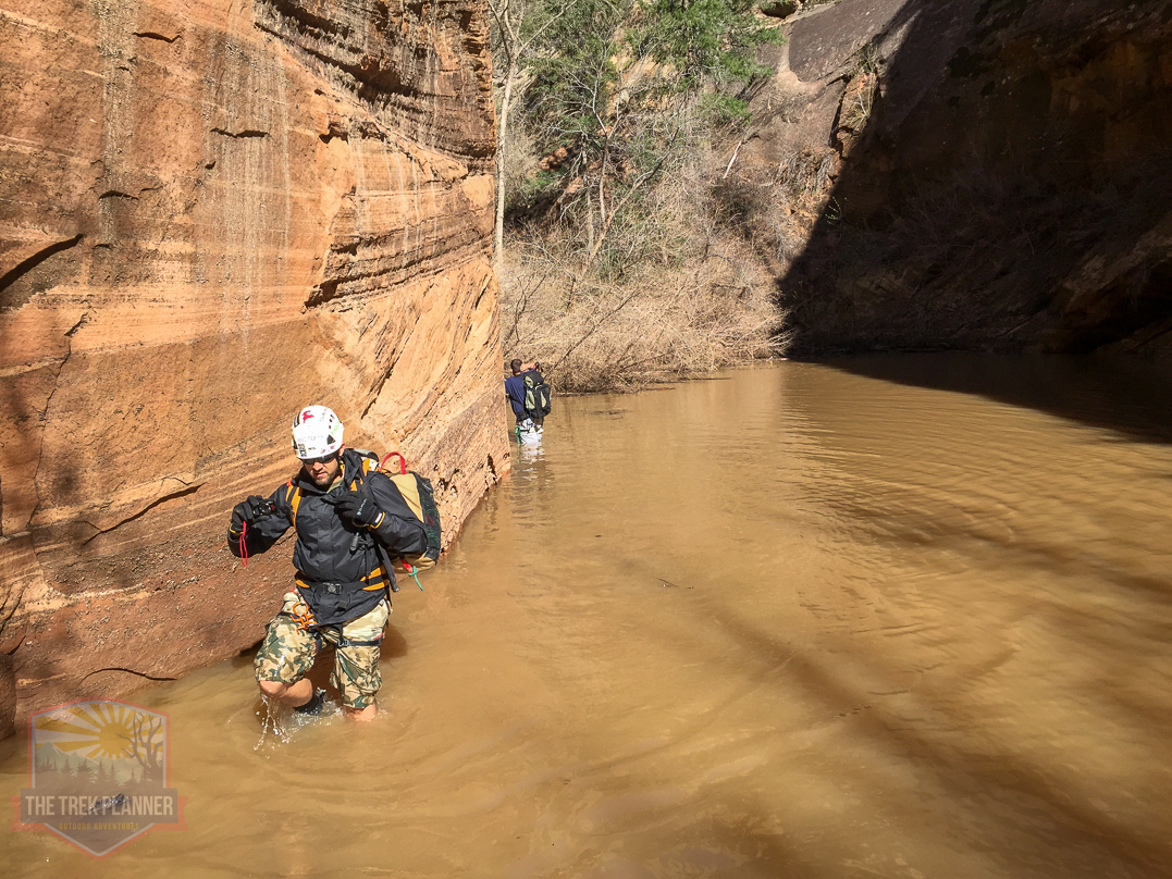
Here is our friend looking up from Landslide Area. You had to climb over this then hike back down the other side.
Eighth Rappel
Here is the eighth rappel. It was located just below the Landslide Area.
Looking up from the eighth rappel. It was about 35 feet in length.
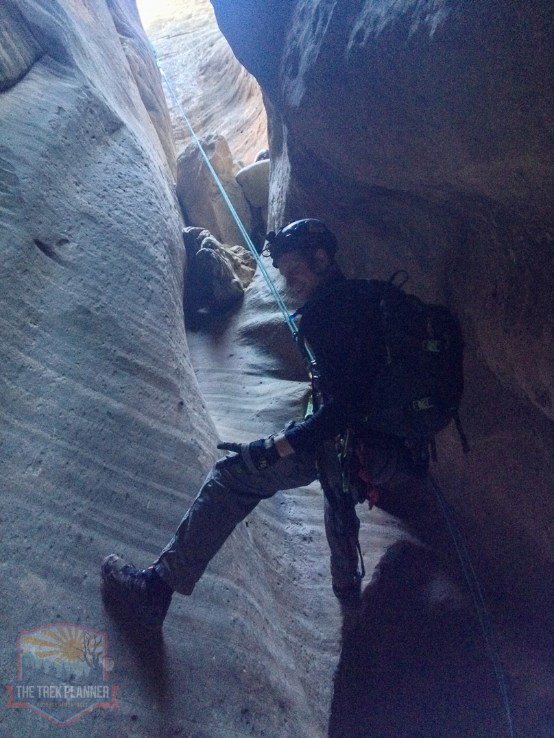
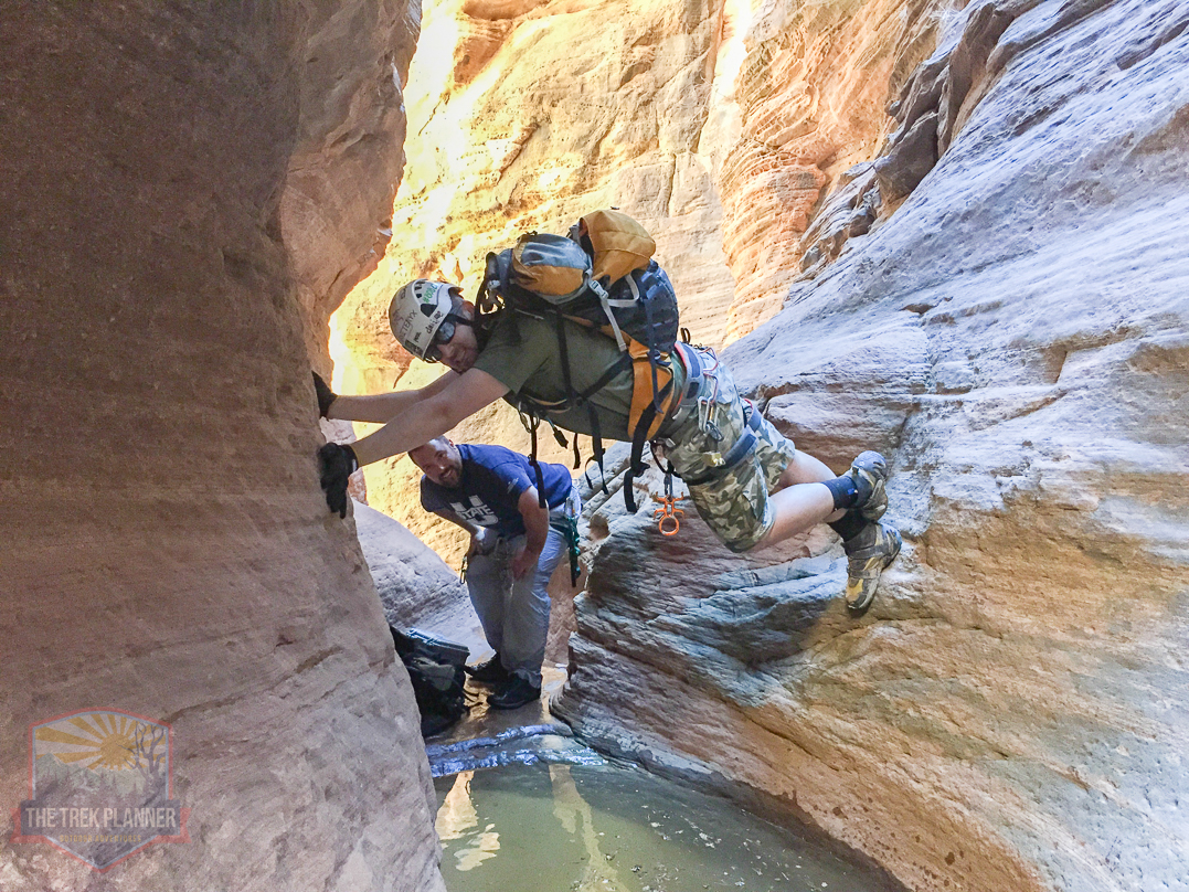
Another down climb area where we helped each other get down safely.

Ninth Rappel
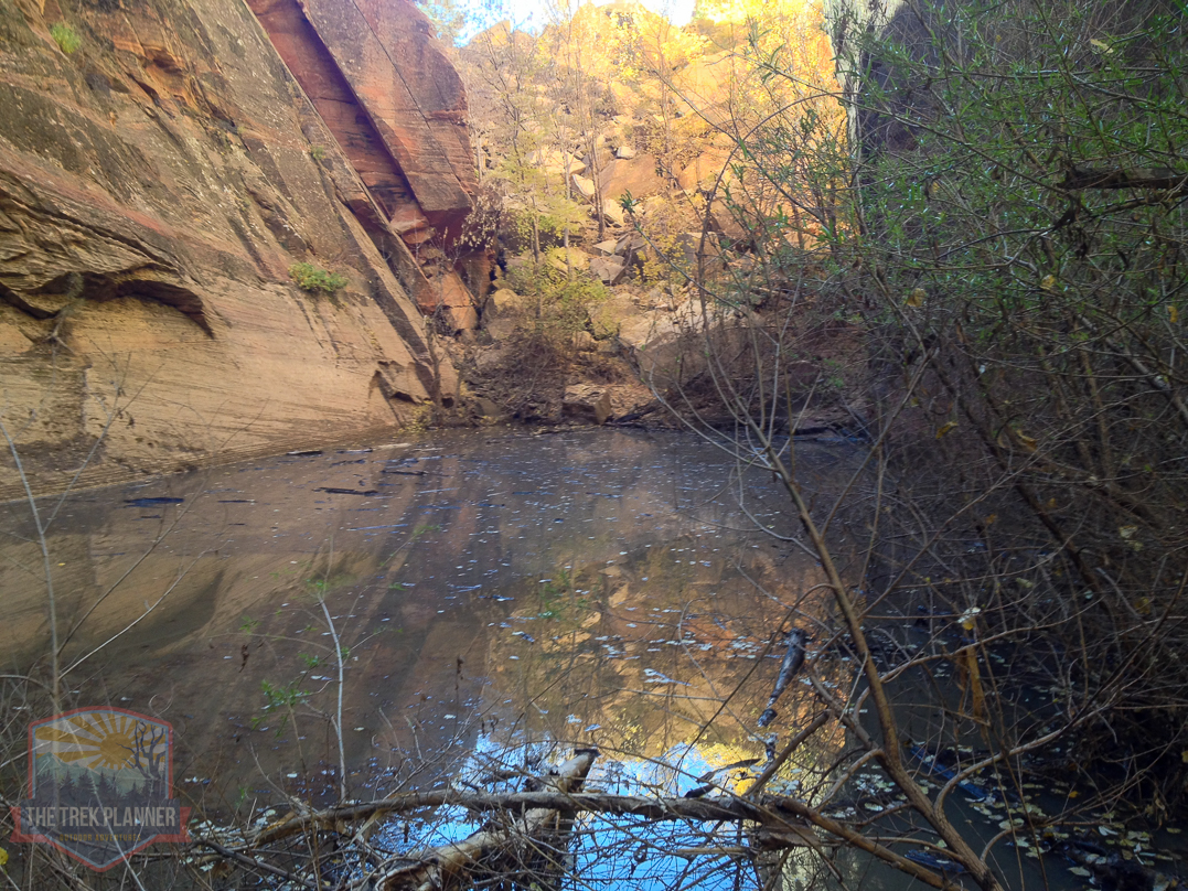
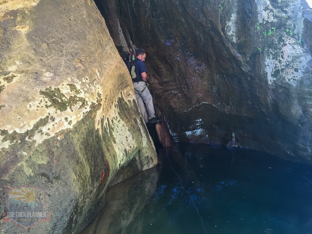
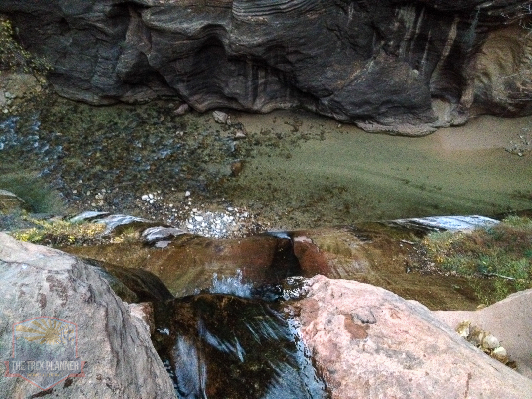
Once around the corner from the eighth rappel, it will open up into a place called Mystery Springs. The water seemingly comes out of the rocks and collects at the bottom of the canyon and runs down into the narrows.
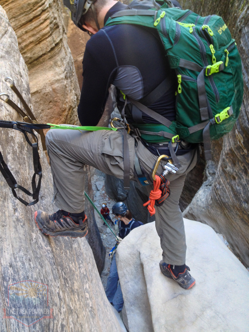
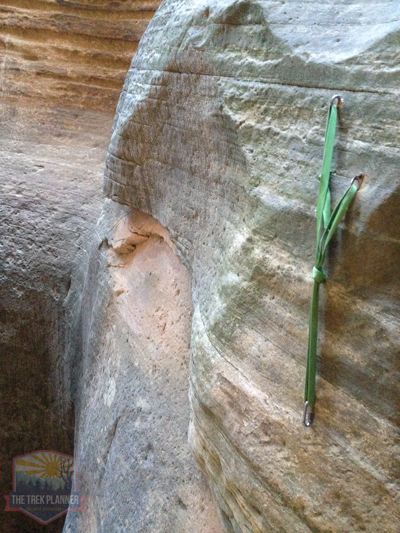
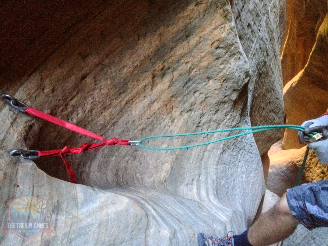
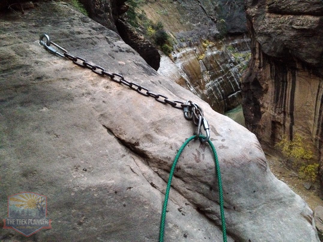
Here you will need to get out the pull cord and rig the rope with a “biner block” so you can retrieve both ropes later. There was several anchors that you can use out on the ledge. You can see someone placed a 30 strip of webbing so you can attach a runner or chain reactor to safely walk out to the anchor point. Yes, the anchors are located where my brother is standing in the picture below. It’s exciting!
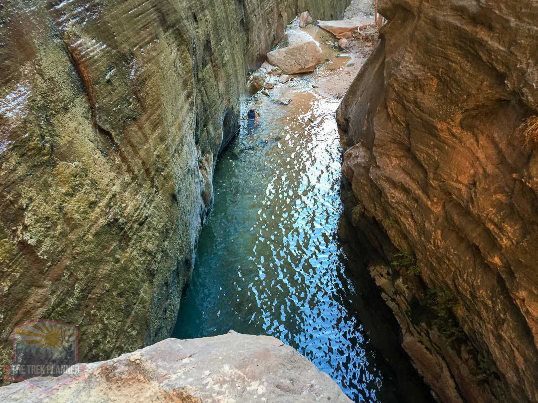
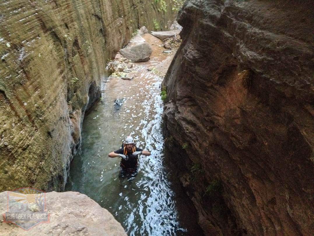
This ninth rappel is about 110 feet in length and it ends in a pool of water that you will need to swim across. It is about a 5 foot swim to the other side but is deep enough that you probably can’t touch the bottom.
My brother setting up the rope and looking to the spring. You can see the spring water coming out of the rocks in the picture below.

Getting ready to rappel down.
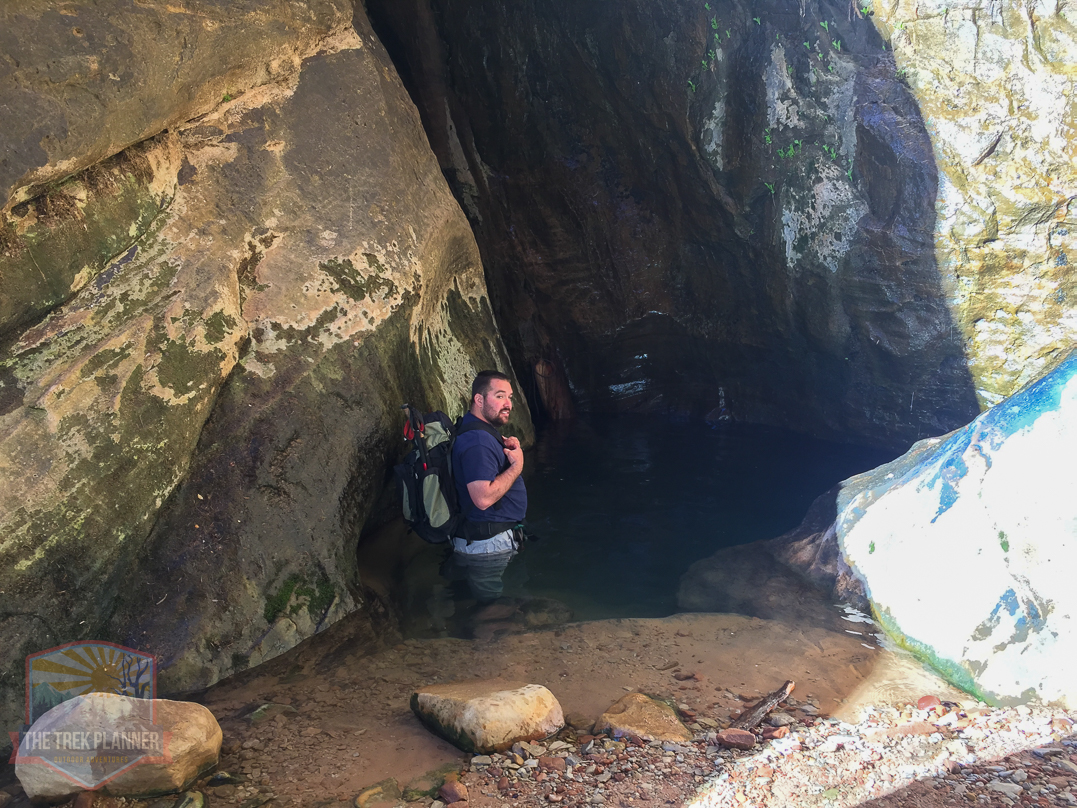
Once at the bottom of the large rappel, the water isn’t as cold as you would think.
You will follow the runoff from Mystery Spring for a few hundred yards. There are several areas where you will have to get wet and jump in the water. Also, the rocks are very slippery so please take your time and make sure you have the right footing before you walk just anywhere.
Tenth Rappel
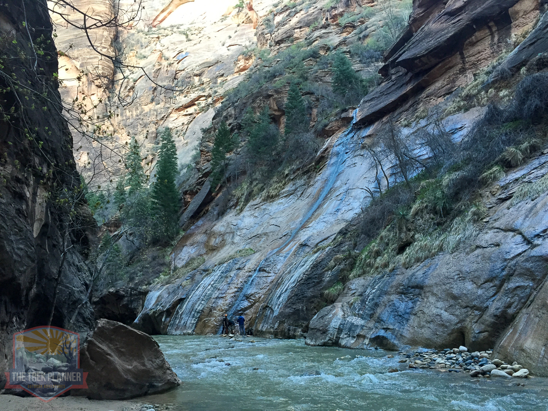
The last and 10th rappel overlooks the Narrows.
Looking down into the Narrows. It is about 125 foot in length to the bottom and the rappel parallels Mystery Waterfall which is VERY slippery!
Looking up from the bottom of Mystery Waterfall.
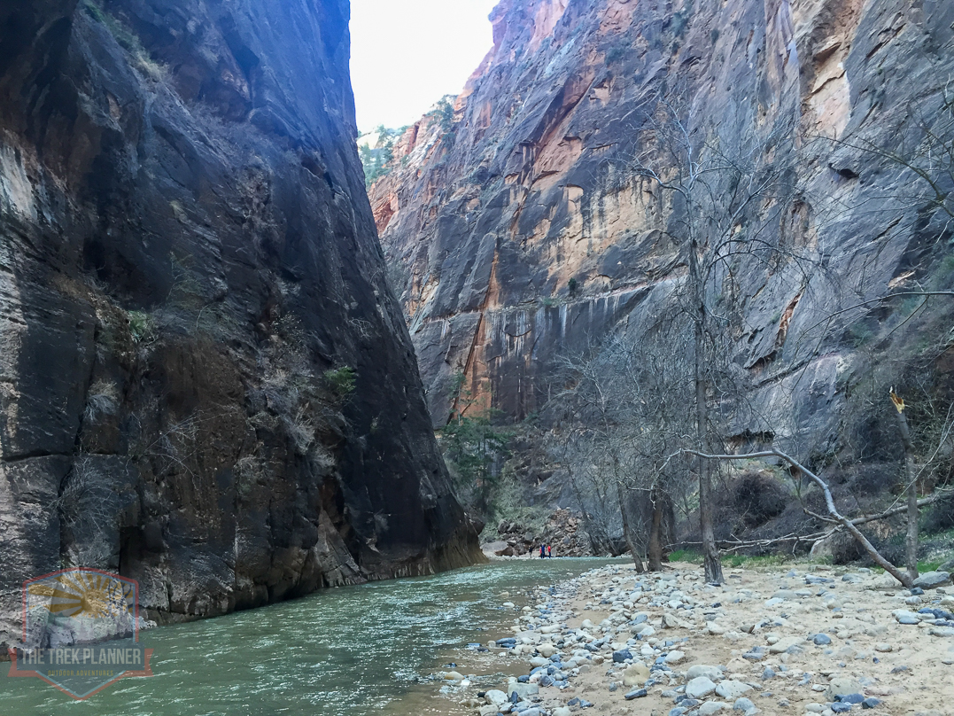
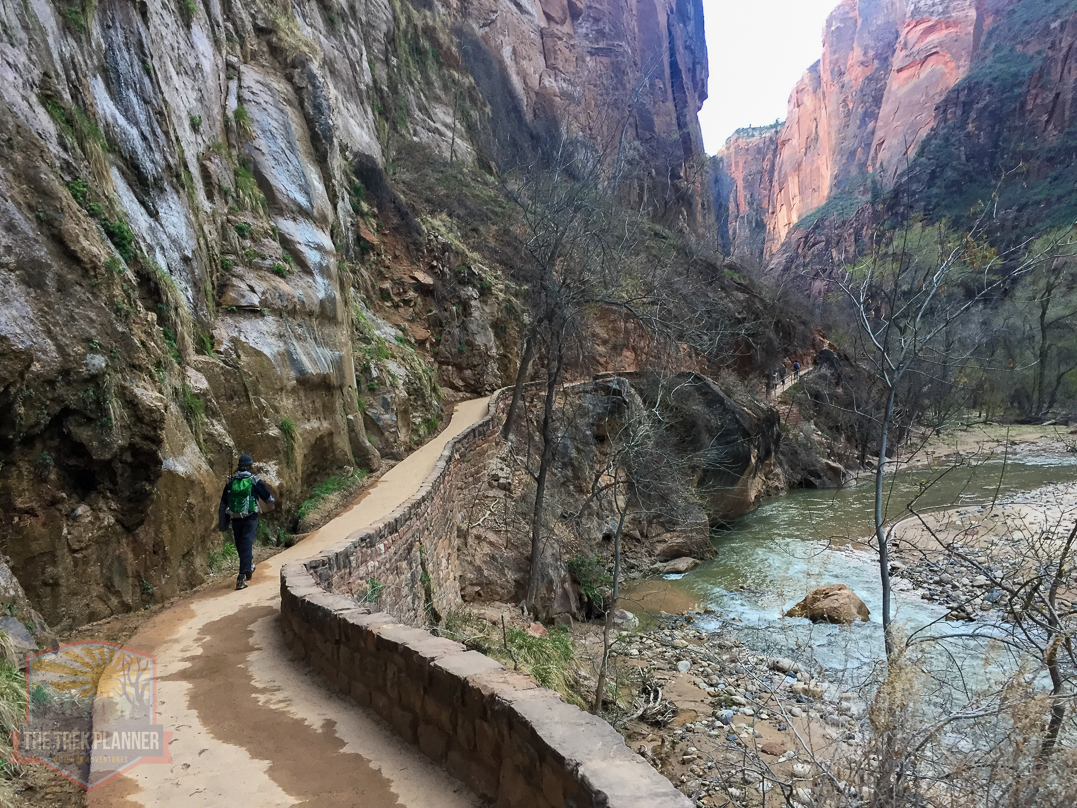
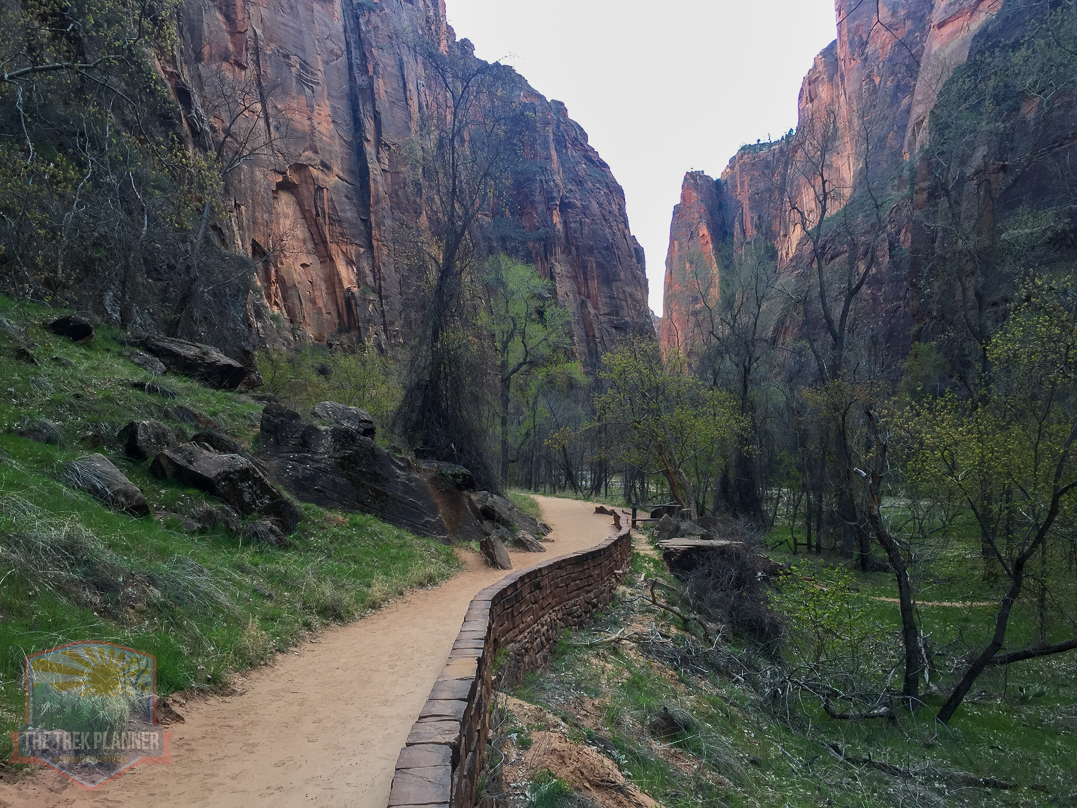
We finally made it to The Narrows! It was getting dark and we had just gotten to the paved trail at the Riverside Walk trail. We then had 1 mile to get back to the Shuttle Stop #9.

Personal Thoughts
I have now completed Mystery Canyon three times. This was one of the first canyons I have ever canyoneered and it was a blast! I think it was a great introductory canyon for me as I went with several others who were way more knowledgeable and skilled in canyoneering than I was and it was great to come back here a third time to see how far I have grown in my own confidence and skills. Still have more to learn, but it's great to see these little improvements.
The “Observation trailhead” is technically called the “Weeping Rock Trailhead”. Might want to fix that for clarification.
Looked like a fun trip though. Nice photos.
Thanks Shane for bringing that to my attention. It was a great trip. Definitely one of my favorites in Zion.
Thanks for sharing those information. Did you guys do it fairly recently? I’m going the next weekend so I’d love to know more about the current condition.
Hi Michael, sorry for the late reply. Yes, you can check out current conditions here: http://www.candition.com
And for Mystery specifically, check this: https://www.candition.com/canyons/mystery