

The Trek in a snapshot

Trek Planner Maps
This content is locked
(memberships are currently unavailable)
This content is locked
(memberships are currently unavailable)
Trailhead: 40° 59.837’N, 111° 49.847’W
GPS Coordinates to the mines listed below for Insider Members:
This content is locked
(memberships are currently unavailable)
This content is locked
(memberships are currently unavailable)

Experience. Discover. Explore.
Follow along on our adventure then go out on your own!


With all the mine tailings in the area you would think there would be mines to be explored. Sadly there is only one up Miller Creek that is still open. Nevertheless, it is an interesting area that has its own dam at the base of Miller Canyon. This is supposedly the same canyon that features Lucky Boy Mine near the top. I have yet to find it though.
I have been doing research about the many mines in the Davis County area. I found a certain mine by the name of Lucky Boy and its location is supposedly near the top of Miller Creek in Farmington Canyon. Coincidentally, one of my brothers said he visited this mine when he was much younger and saw it when it was still open. The mine had a vertical shaft with two levels. We came back years later to the spot where he thought it was located and we found that someone blew up the entrance and caused it to be permanently sealed.
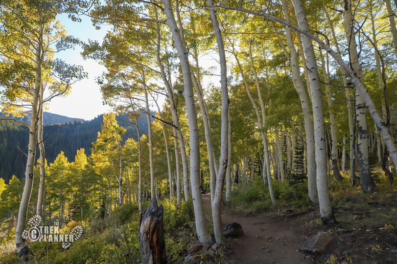
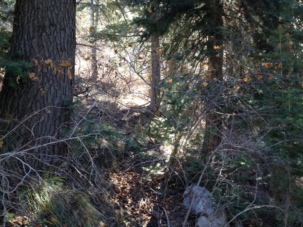
I drove all the way up to the old Sunset Campground in the canyon and then a little ways further I parked my car on the opposite side of Miller Creek. There isn’t a set trail at this point so I just picked a decent spot and bushwhacked down to Farmington Creek.
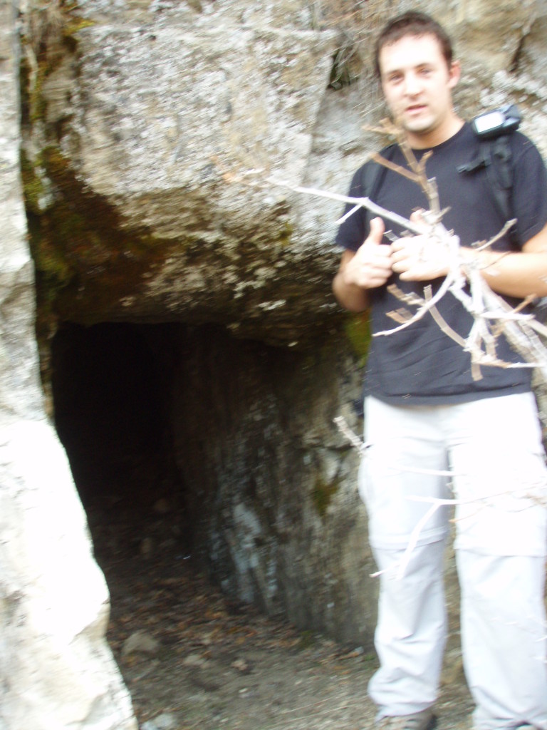
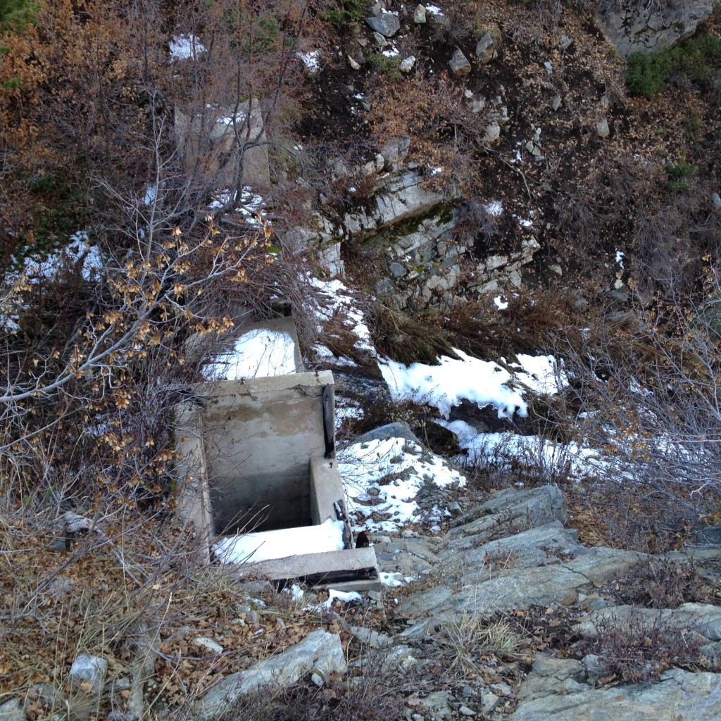
Once I was down at the creek I noticed that there was an old mining trail that hugged the south side of the canyon and went up to Miller Creek. There is a short adit that is still open (the only mine that is still open up Miller Creek). It is right above the trail just above from Farmington Creek. It doesn’t go in very far but it is still neat to check out.
After this I followed the main trail until I came to the dam just at the base of Miller Creek.
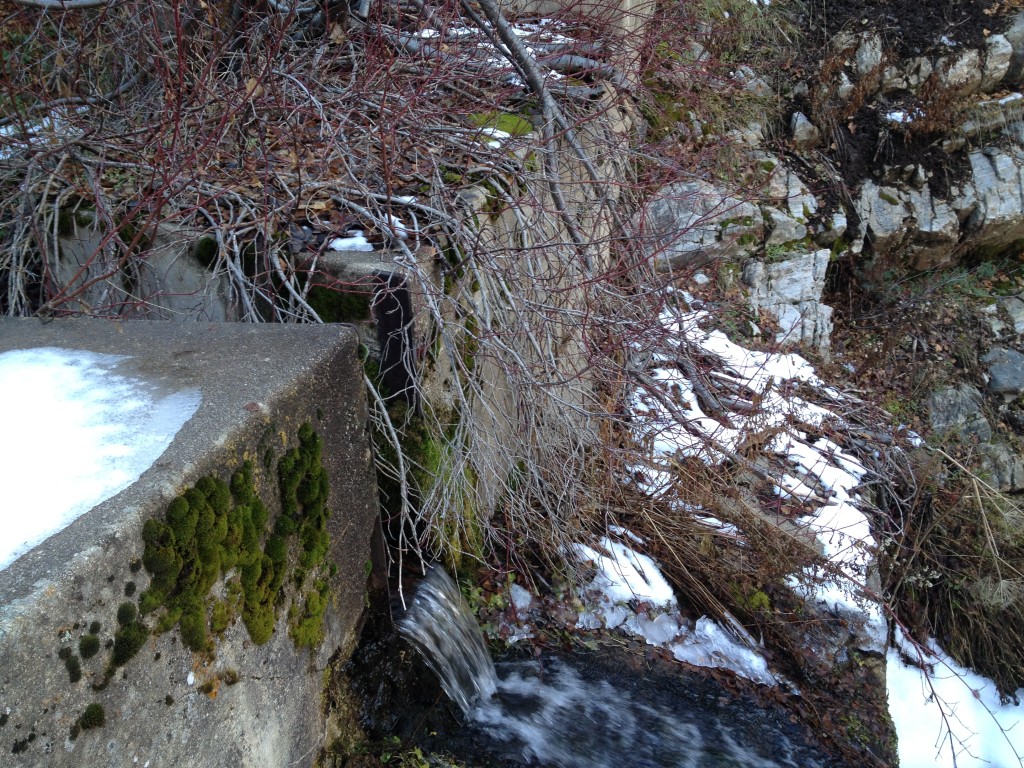
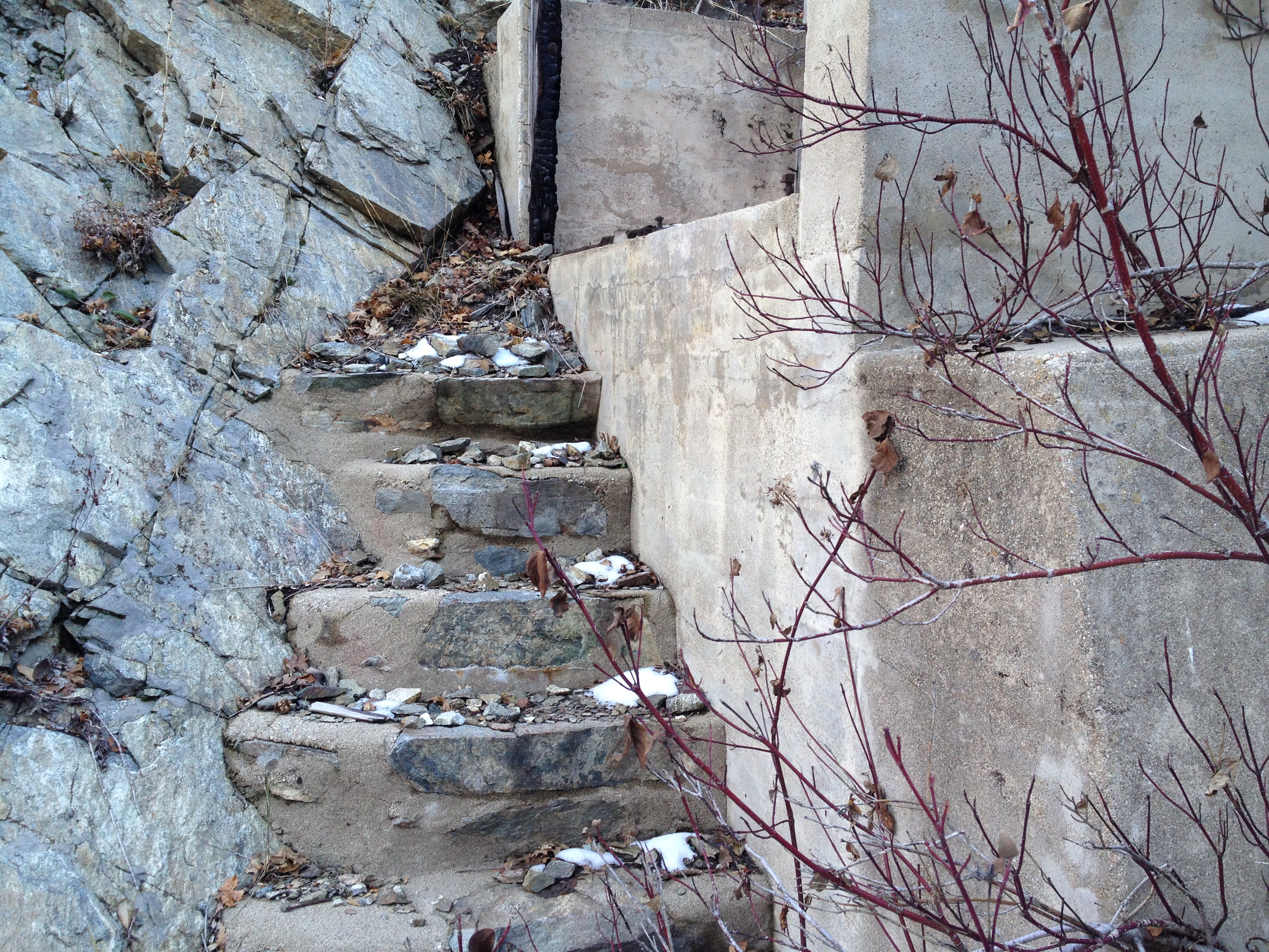
The dam structure is pretty cool and mostly intact after all these years. The water gets funneled down to a point where the water could be dammed or opened by the miners. I am always amazed at the length people go to build these structures.

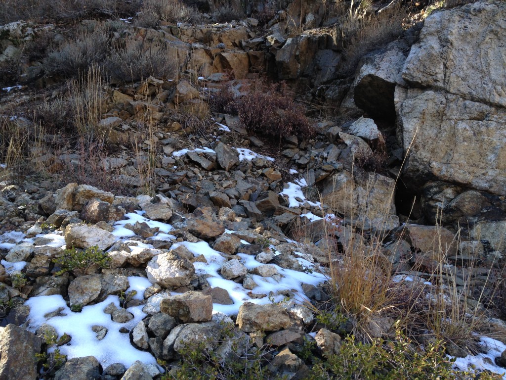
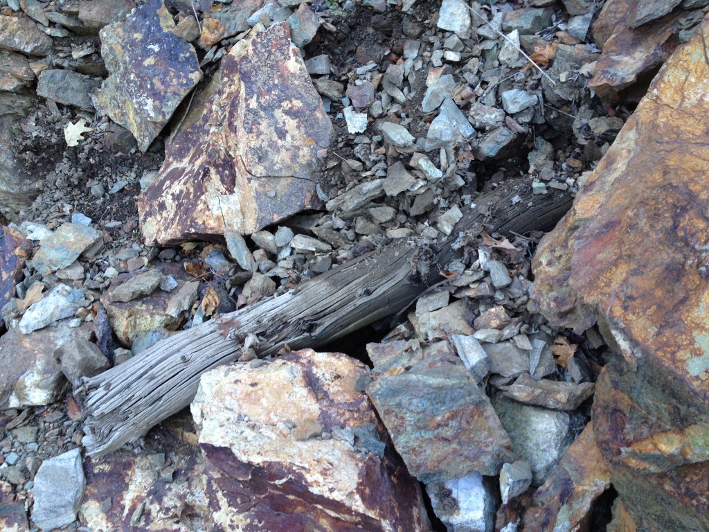
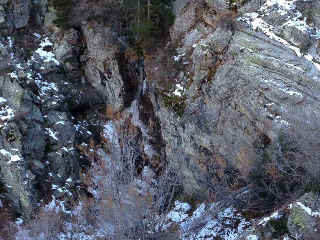
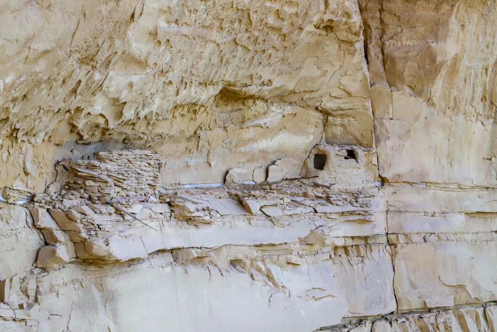
If you look above the dam up from the creek you will see evidence of some mining activities. I think there is a very short mining adit in this location. You can still see the tailings but the entrance is caved. (see picture below)
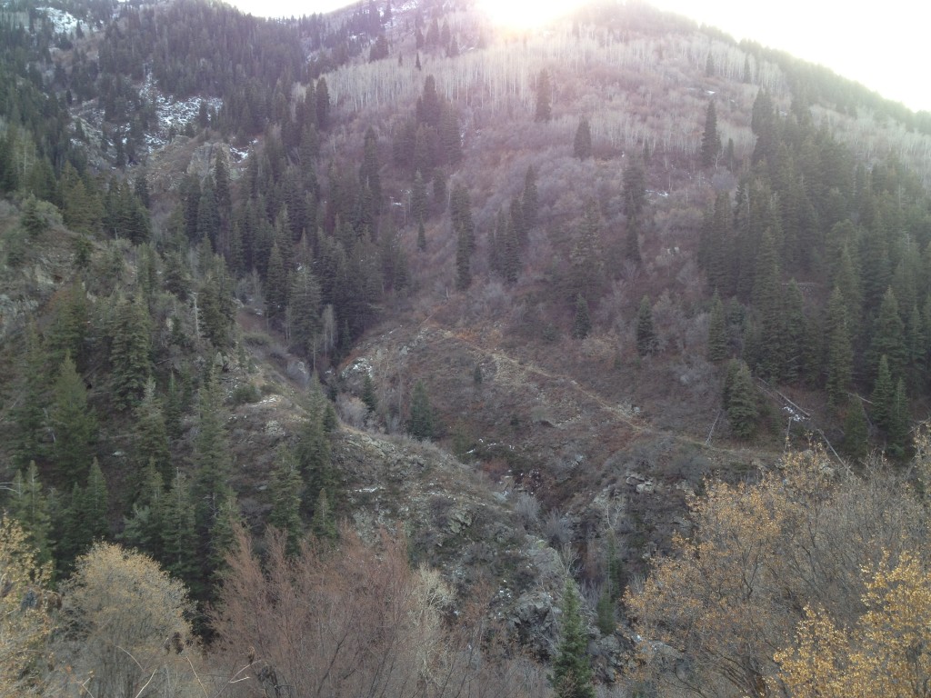
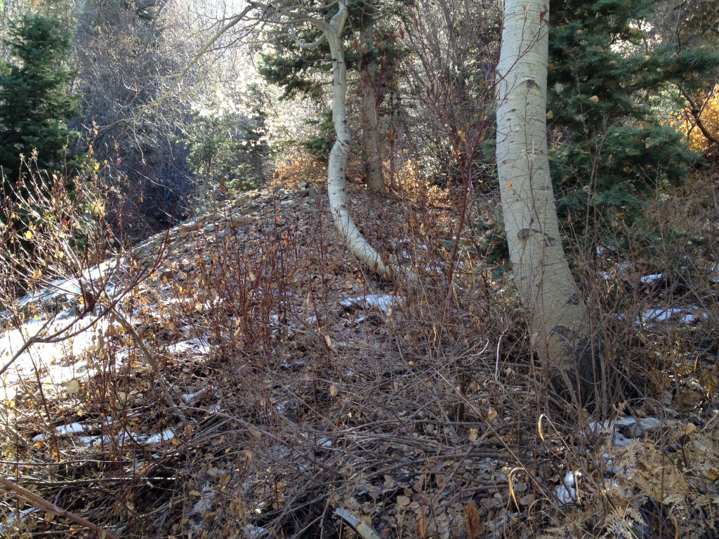
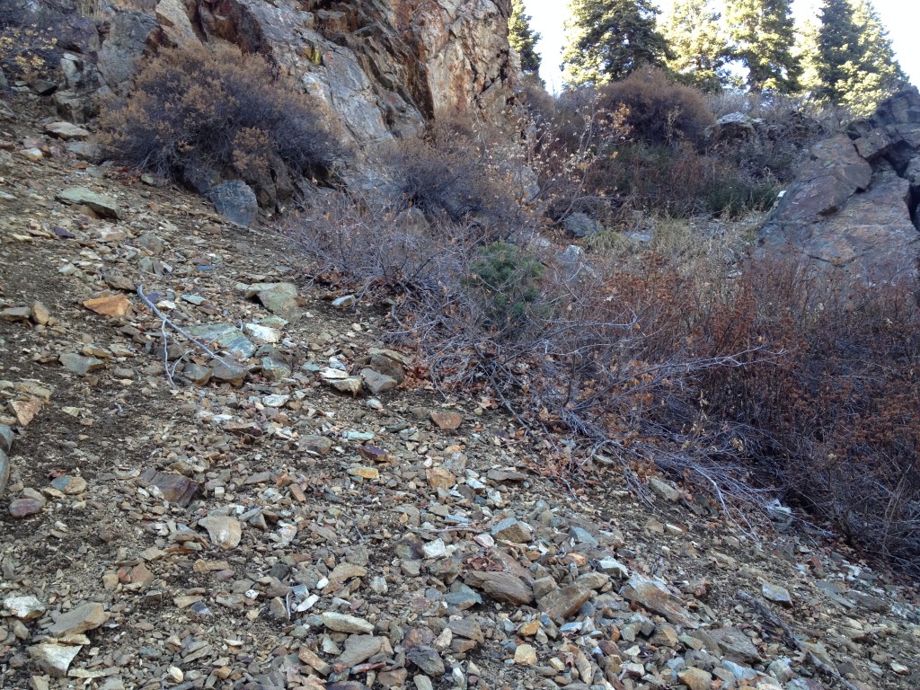
From here I stayed on the east side of Miller Creek canyon and followed the old mining road up for a few hundred yards. By the way, there are trails on both sides of Miller Creek canyon but I stayed on the east side for now.
Keep going up the trail until the trail seems to disappear. Cross over Miller Creek and join the trail on the west side of the creek and you will be led to another mine workings location.
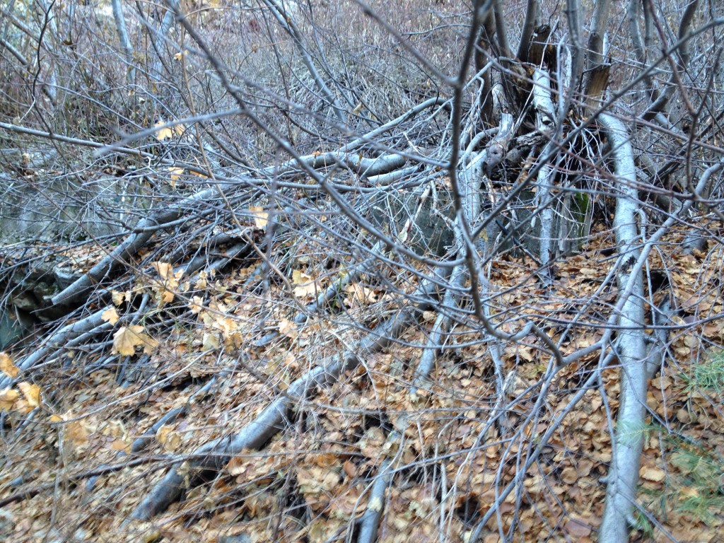
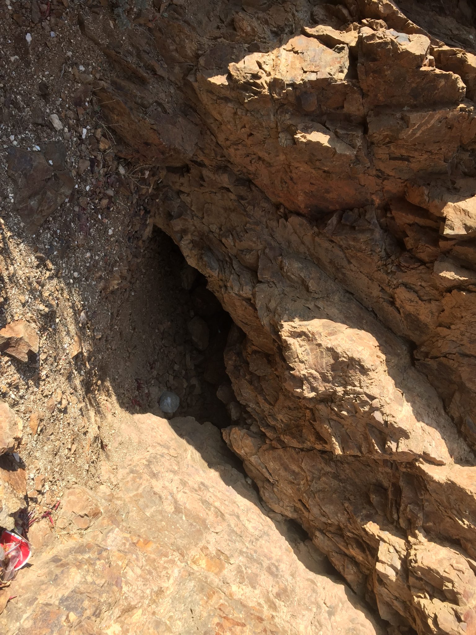
I’m not exactly sure where the entrances to the mines are because they are both caved but if you look around you will see two large concrete blocks that are covered in roots and branches of the nearby tree. The entire area on this side is full of tailings and I think the lower part of the Miller Creek Mine South is in this location.
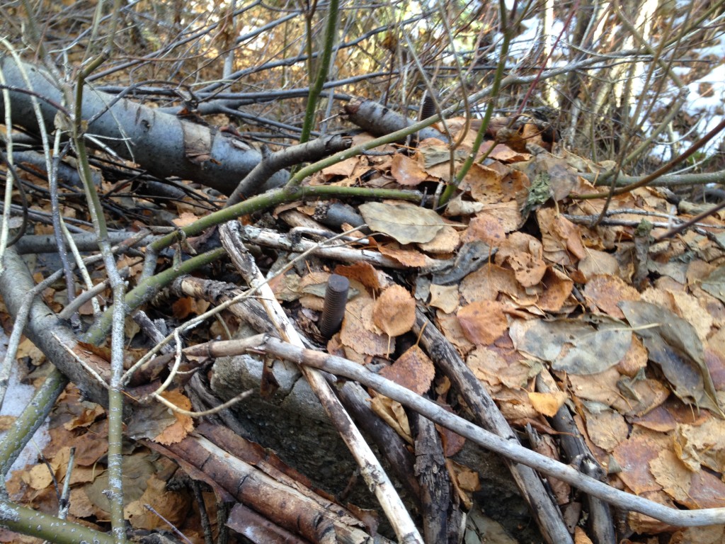
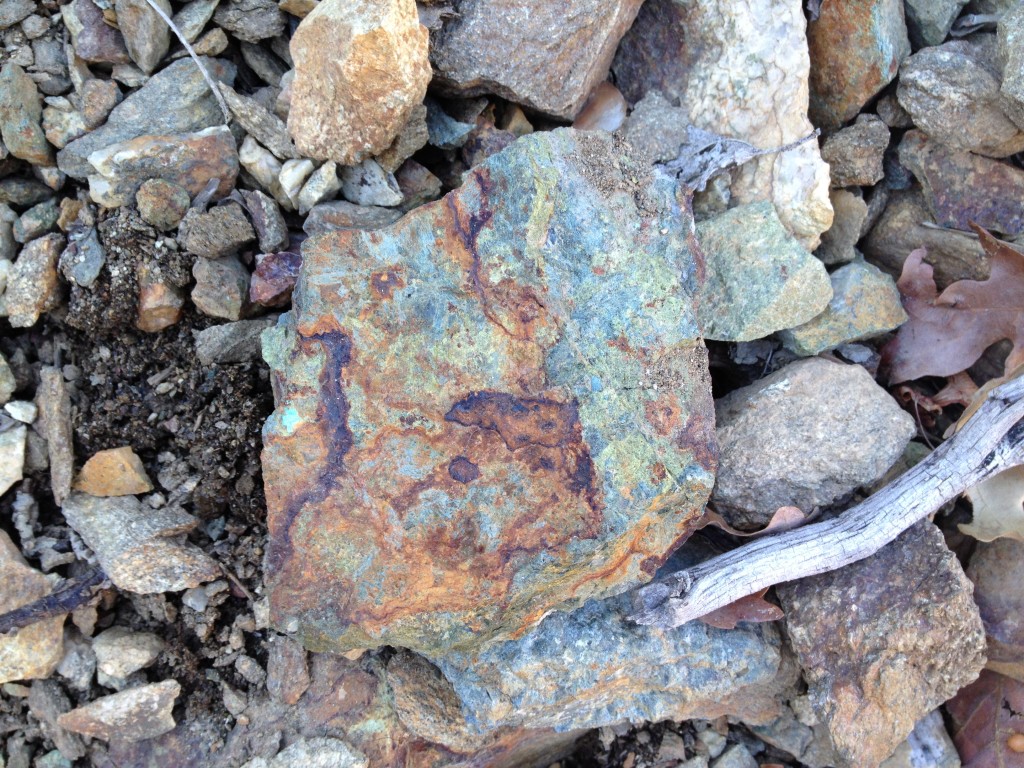
If you continue up the steep incline just to the south of the lower mine you will be climbing up on top of the tailings from the upper mine. Keep going up and you will eventually see a few timbers and a cave in of the upper mine. There are lots of oxidized copper rocks in the area and other cool looking rocks.
Again, I am not sure where the exact location of the entrance is but I am sure there was some type of mining operation going on in this location. This is the supposed location of the Lucky Boy Mine. When we visited with my brother, he said the city, county or DNR must have came by and dynamited the entrances to keep people out.
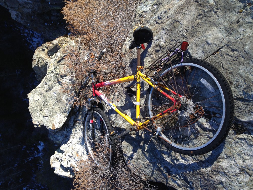
Anyway, after I reached the upper mine I searched the canyon for any more signs of mines but I could see none. I did climb up more and to the south and I found an abandoned bike laying on top of a cliff spot. Not sure how and why someone would bring it up this far but it is interesting.
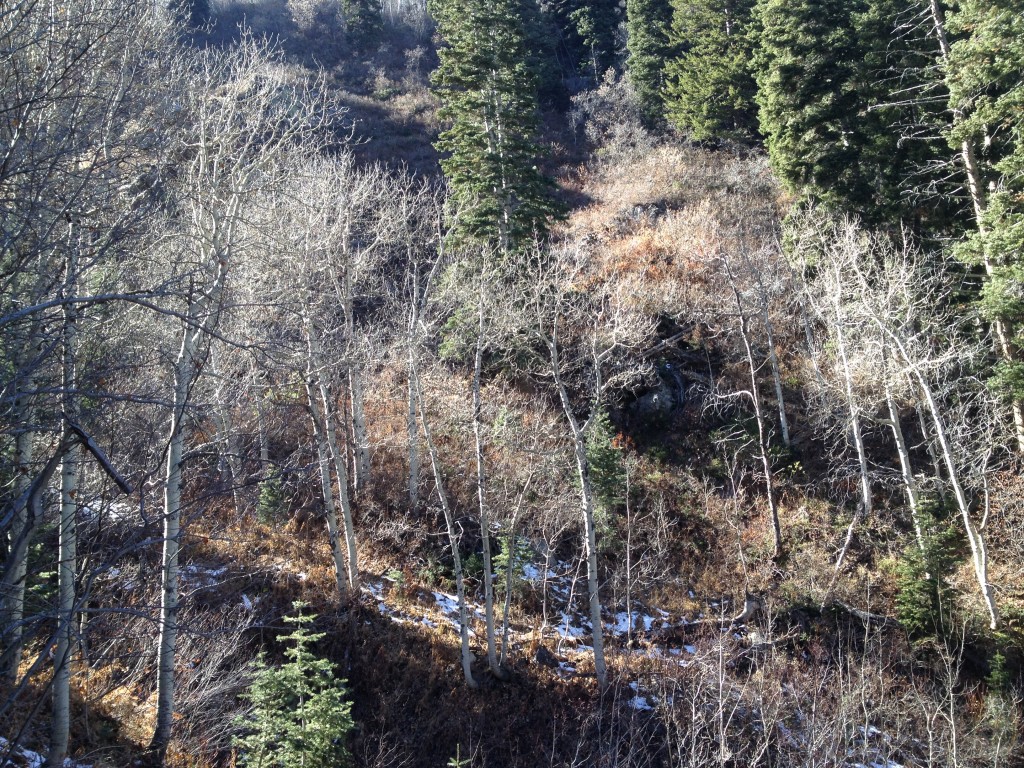
If you continue up the canyon you will see that Miller Creek splits. The main water flow goes up the east side of the canyon and the west side is just a ton of bushes. You may notice that there is a trail on the south side of the canyon too. Maybe it was created by the miners.
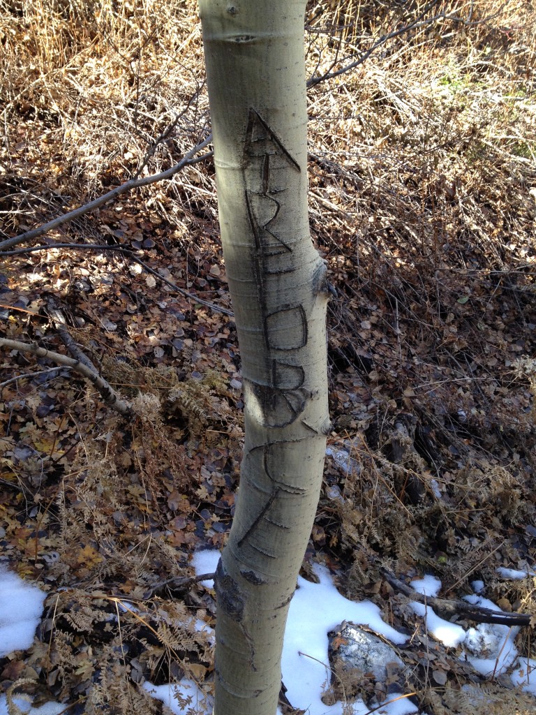
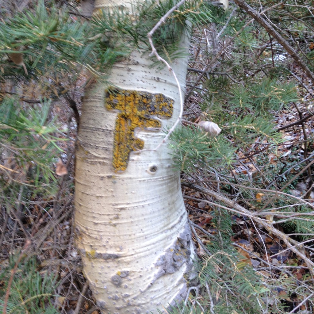
I hiked back down and found several trees with initials carved in them. One of them looks more recent-ish but the other looks like it’s pretty old.
Head back down towards your car. You can either go down on the west trail or the east trail. I would just come back the same way you came.

Personal Thoughts
The Miller Creek Mines are very interesting. The miners built a good size dam all the way up in Farmington Canyon so they must have found something that made them think the area had good promise for mining activity.

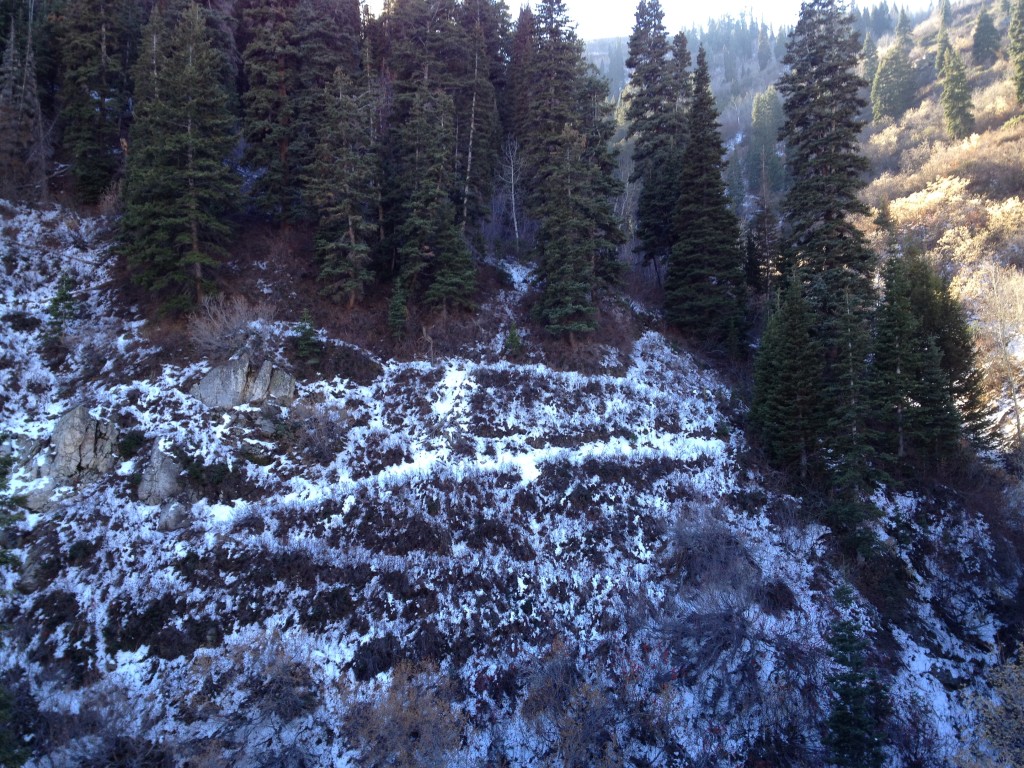
The zig zag trail in the snow goes to another short but open mine and if I recall there are 2 collapsed ones near there as well. And as for the bike… I put that there so I could see it from Google Earth. Hahahaha. I have pics of me and my bro doing it. Glad someone found it. That made my day. Hahahaha
I always wondered who put that bike up there! I’m sure it’s still there today.
I really enjoyed visiting this place. Thanks for your post on it. Lots of great minerals there.
I’m glad you enjoyed it, David! Miller Creek is a great place!