Greater Comb Ridge Exploration Guide
What is Comb Ridge?
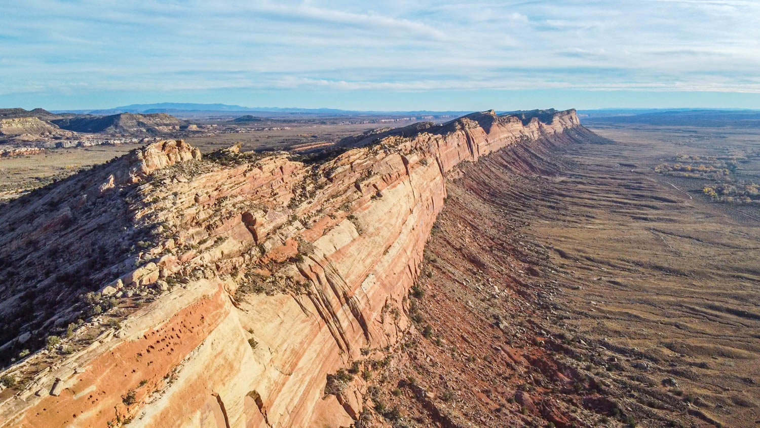
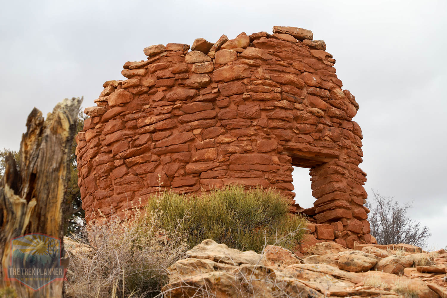
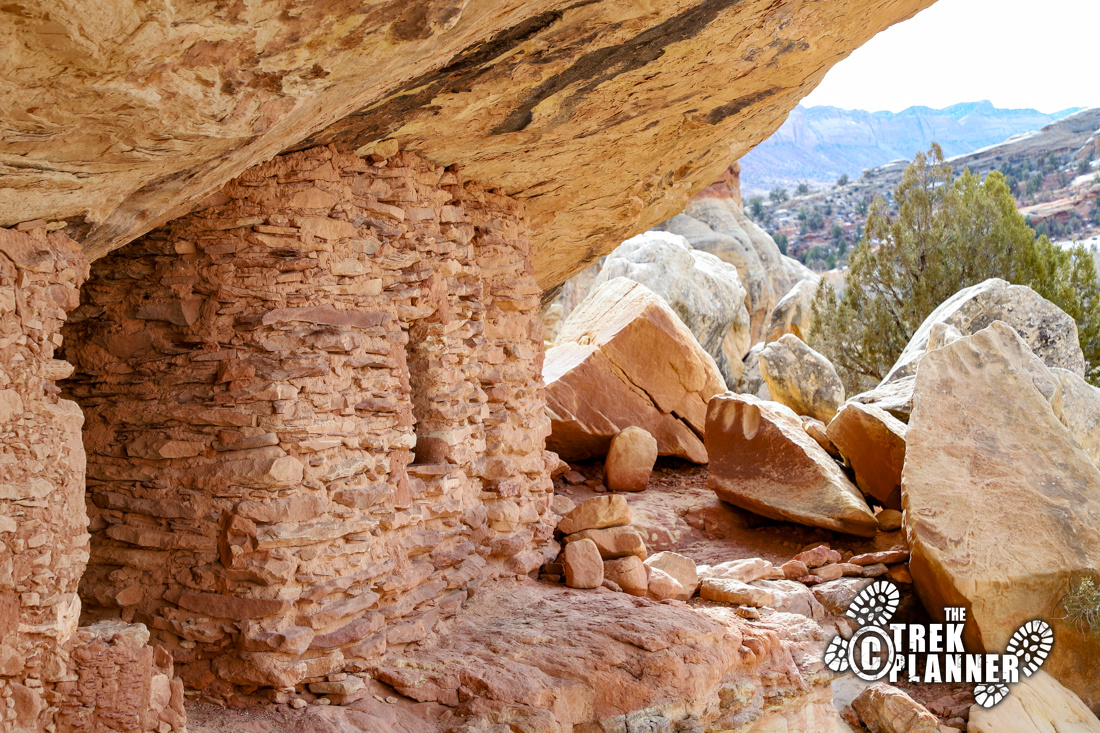
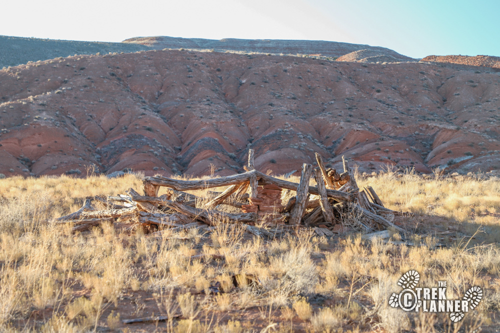
Comb Ridge is an incredible archeological and geological wonder located just west of Bluff Utah. It’s a giant 75+ mile ridge that is called a monocline, jutting straight out of the ground at a very steep angle. This amazing area is home to bountiful wildlife, ruins and rock art, and even a portion of the San Juan River.
This guide will take you to some of the best sites in and around Comb Ridge. I will add more sites as I visit more.
Who created the cliff dwellings at Comb Ridge?
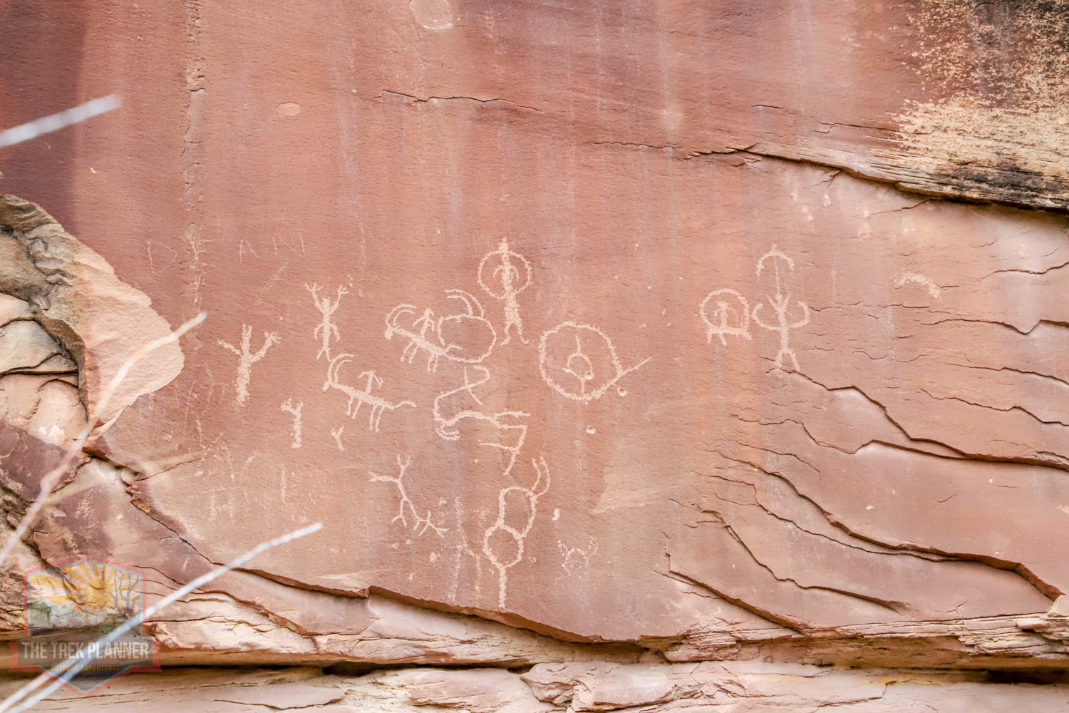
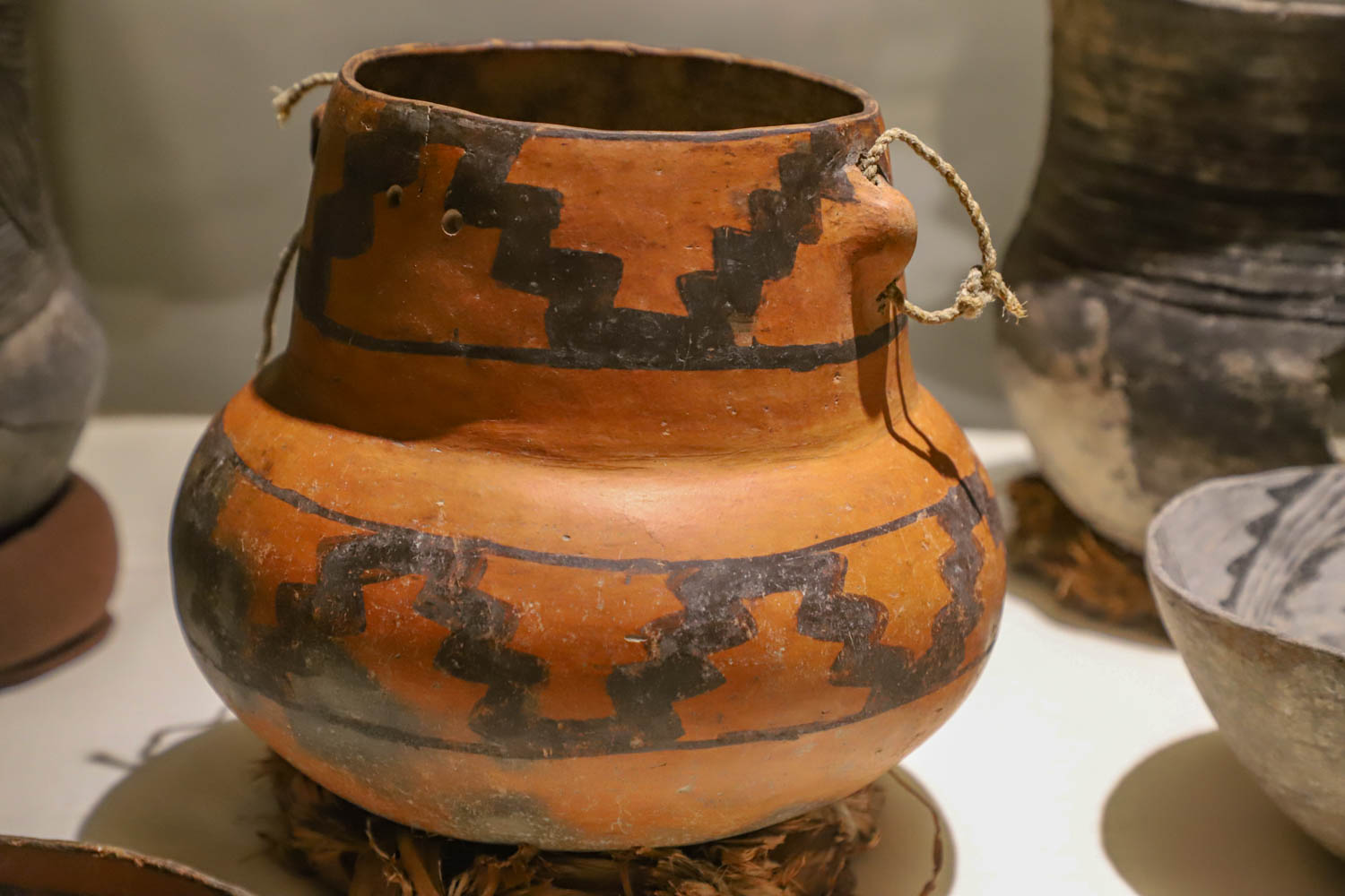
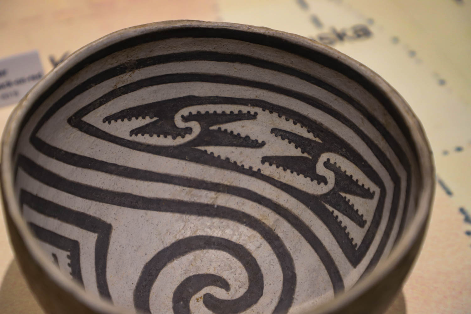
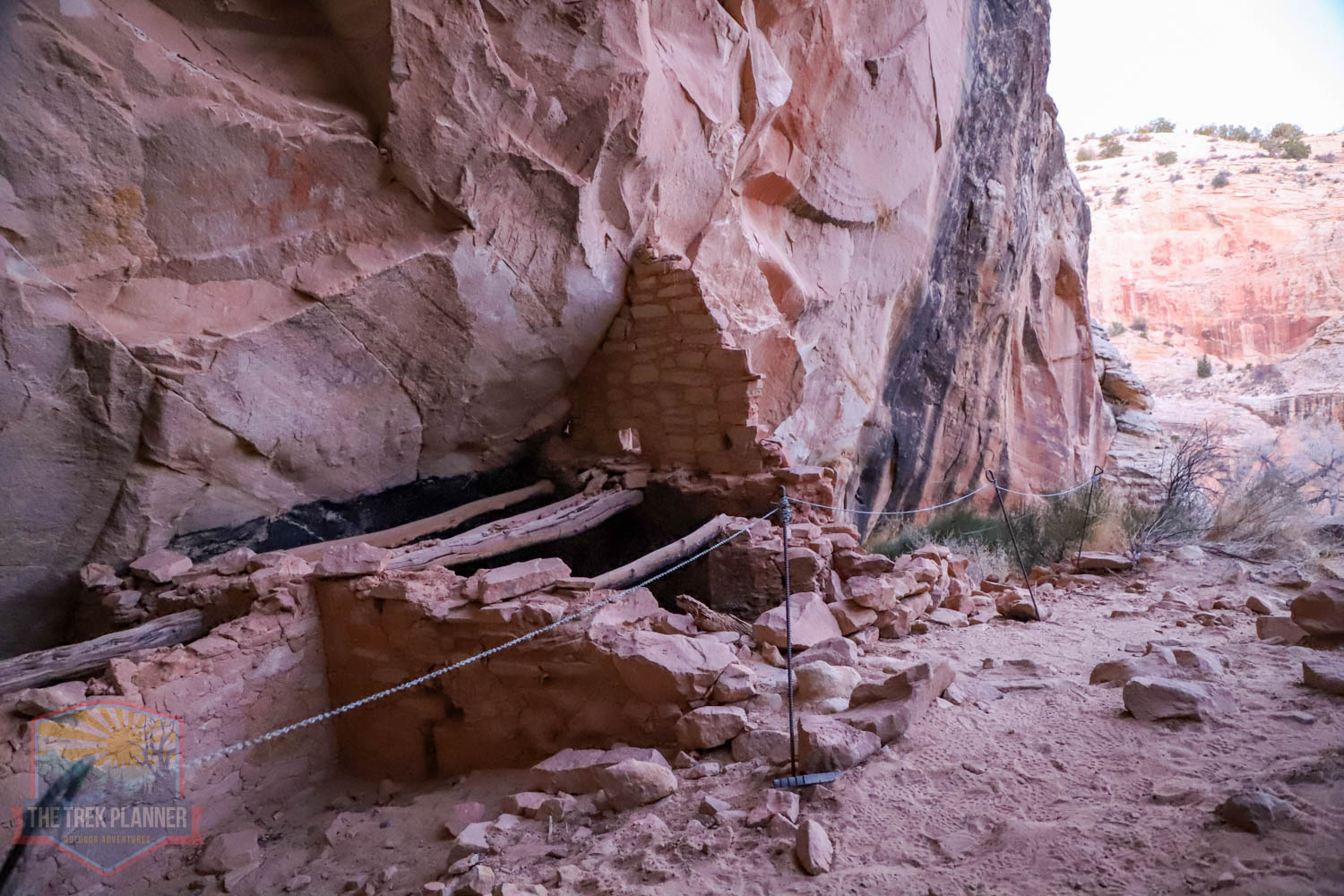
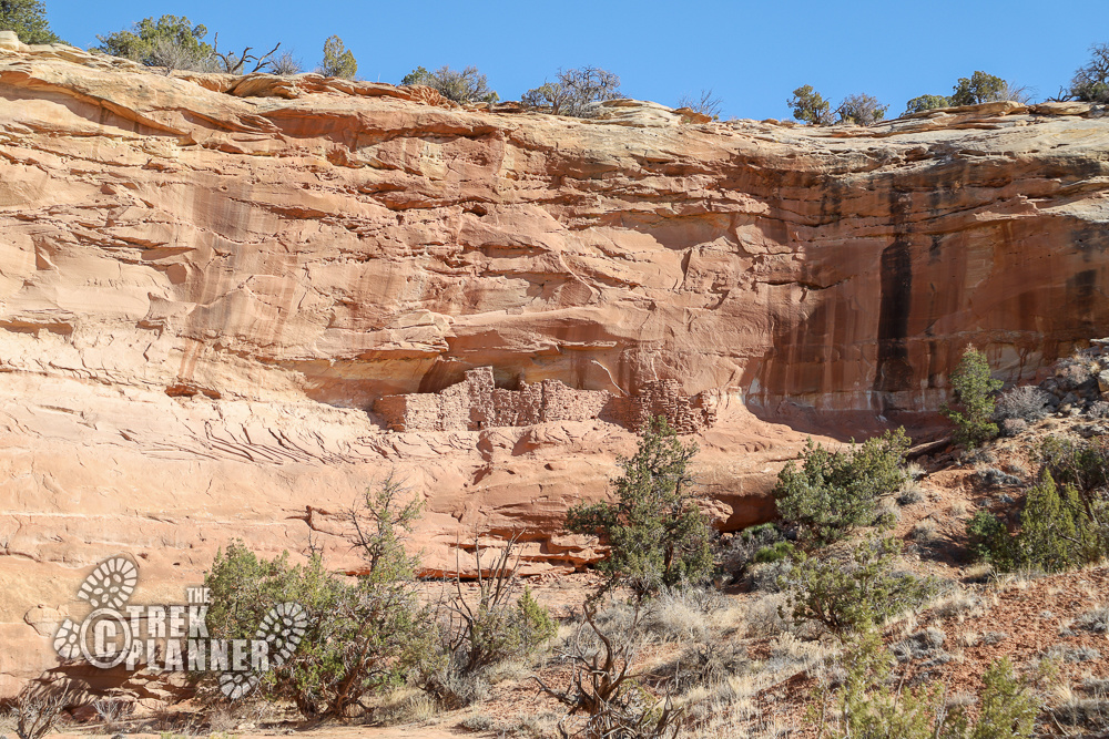
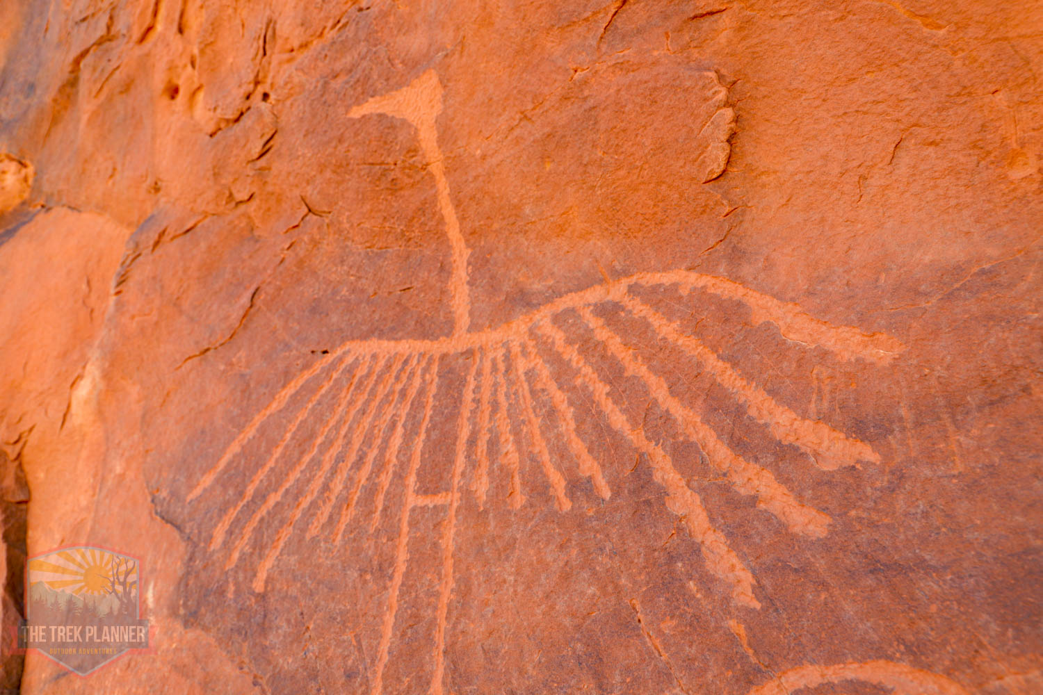
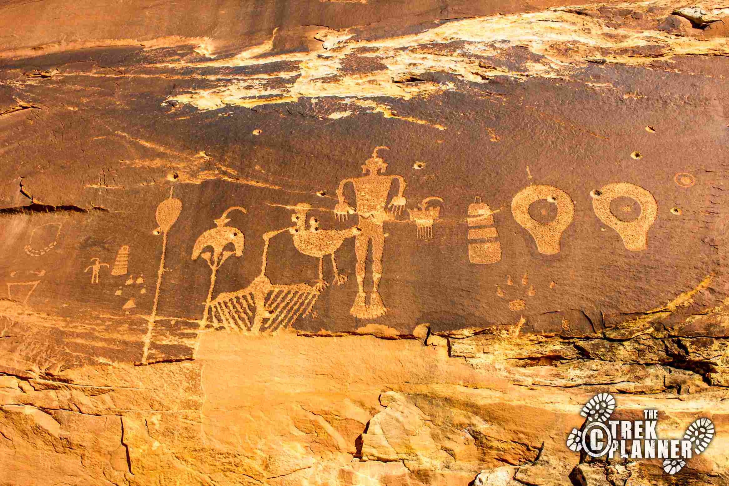
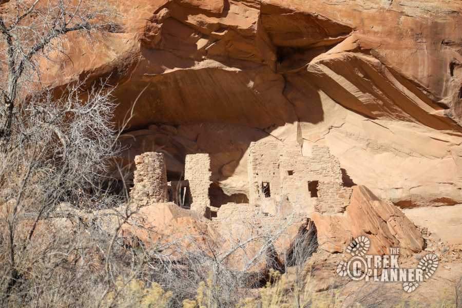
A group of people called the Ancestral Pueblo (referred to as the Anasazi) called Comb Ridge home some 700-1000+ years ago. They created many cliff dwellings, granaries, petroglyphs, and even pecked steps along Comb Ridge. The Ancestral Pueblo were spread all over the Four Corners region including Hovenweep, Mesa Verde, and other places into Arizona and New Mexico.
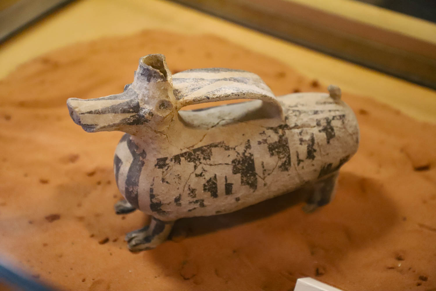
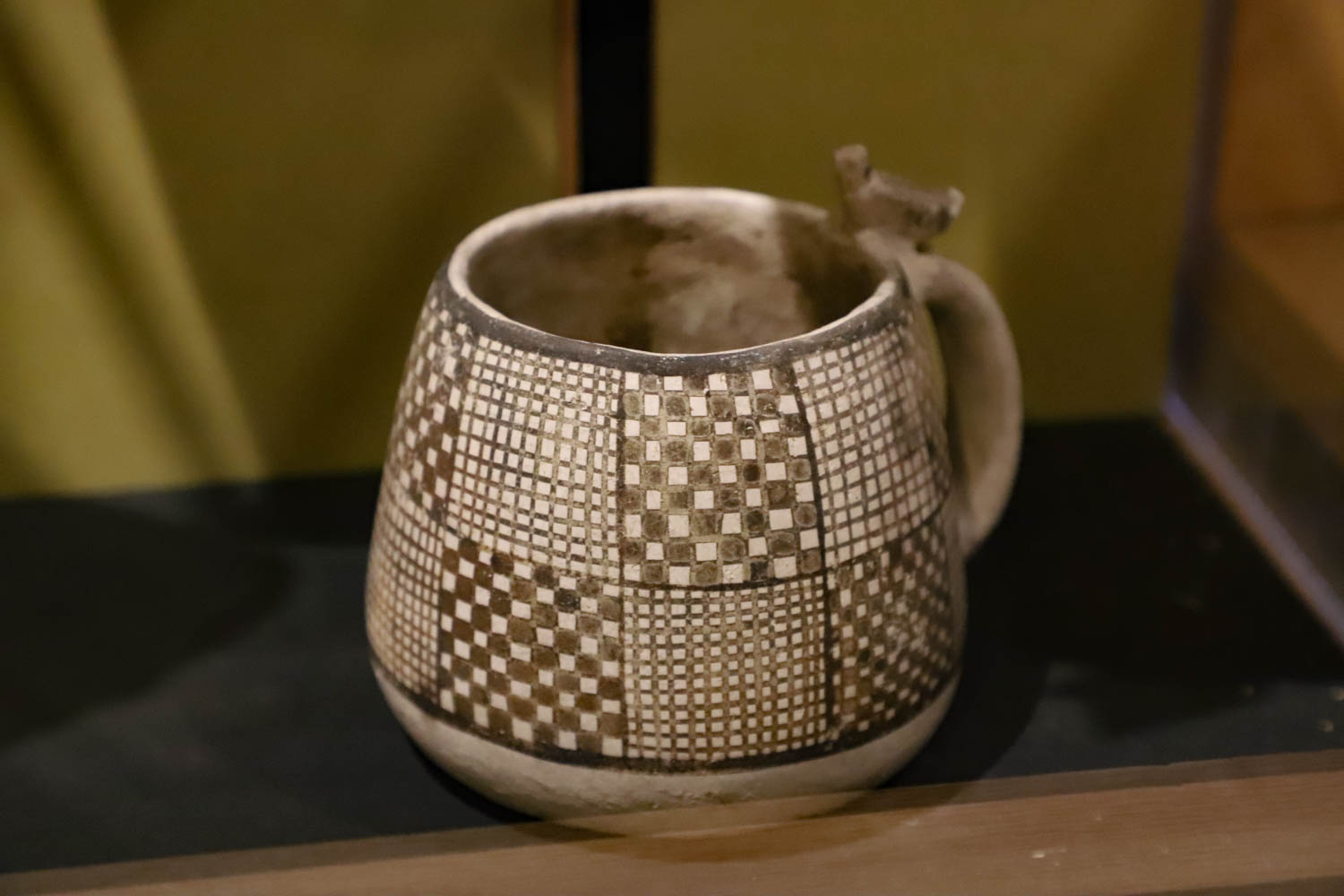
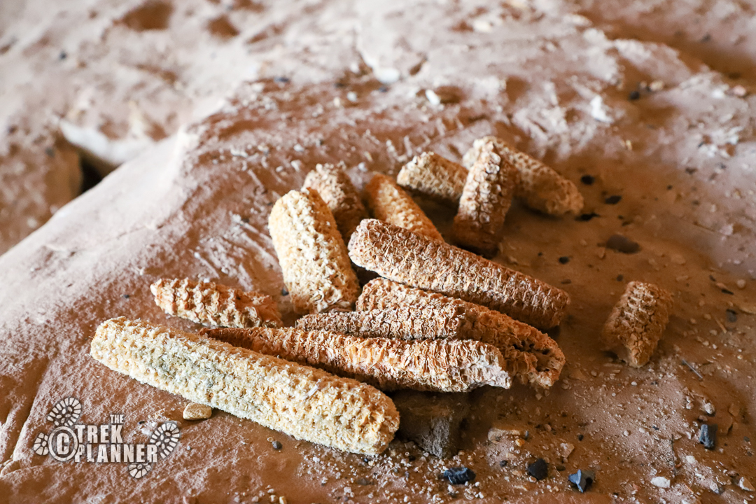
Here are just a few of the artifacts they left behind (now at the Edge of Cedars Museum in Blanding)
How to explore Comb Ridge?
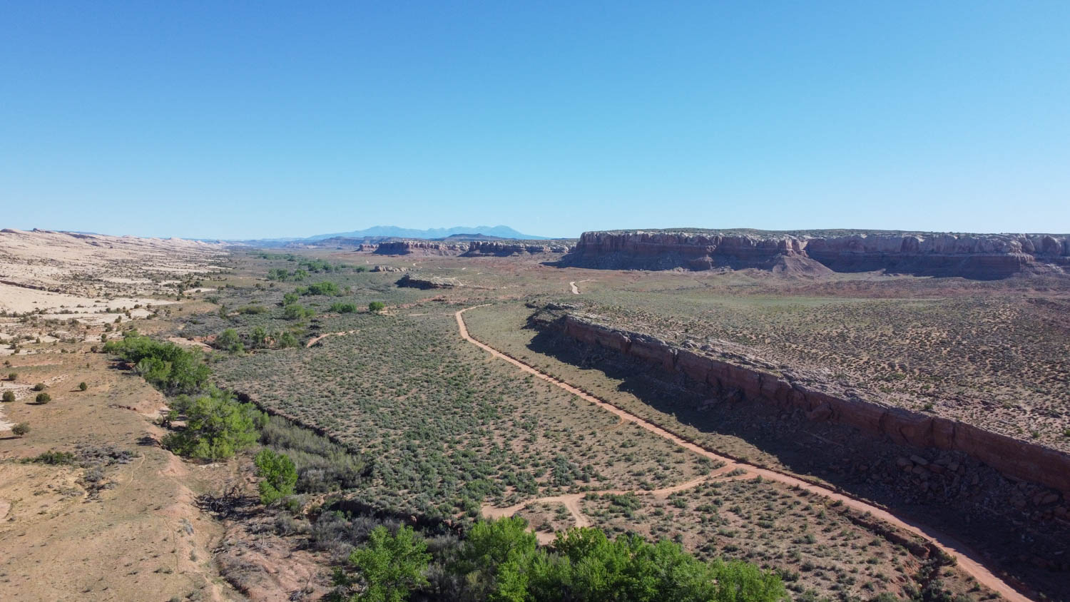
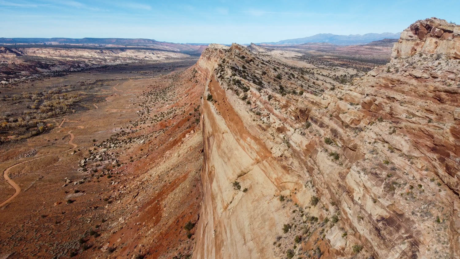
Comb Ridge is sandwiched between two roads: Comb Wash Road on the west and Lower Butler Wash Road on the east. Most of the sites are accessed through the Lower Butler Wash Road and then you hike west to where the sites are located in caves, alcoves, and other areas along Comb Ridge. Comb Wash Road is mainly used to access sites on the west side of Comb Ridge and NOT over Comb Ridge – it’s just too steep. Instead, Comb Wash Road accesses many other sites in canyons to the west of Comb Ridge. Or, you can use Comb Wash Road to access places like San Juan Hill, River House Ruins, Kachina Petroglyph Panel, and others in the south near the San Juan River.
A high-clearance vehicle is recommended to explore this area. 4-wheel drive is also highly recommended and even required when visiting certain areas. You can get to some of the sites in Comb Ridge in a regular car, but if there is any rain, snow, or mud then it will be almost impossible. Make sure to fuel up, have extra food and water, and even full tire changing equipment before heading out. You may high-center your vehicle if you have a regular car, so be prepared to go very slow and make deliberate steering choices with your vehicle.
How to treat this area with respect
Many Indigenous Peoples consider this landscape sacred, and numerous Tribal Elders ask visitors to view sites from a distance, This small act honors Tribal beliefs and protects cultural resources from the destructive effects of visitation, like erosion.
Structures are easily damaged, Please refrain from touching, leaning, standing, or climbing on any structures, no matter how solid they look.
Natural oils on your hands damage these delicate images, Vandalism of petroglyphs and pictographs erases stories of ancient people and destroys the experience for future visitors.
The fee for hiking to cultural sites accessed from the Butler Wash Road is $5 per person per day or $10 per week. It may not seem like much, but your small fee helps support critical monitoring, enforcement, and amenities like toilets.
Human and pet waste threaten fragile desert ecosystems and drinking water sources for hikers and wildlife, and leaving poop near cultural sites is very disrespectful, When hiking and camping, please use portable waste bags or a camp toilet
To prevent digging and erosion, pets are not allowed in archaeological sites, Please make sure to leash pets and Keep them away from the site, Pets are not allowed in some areas, so know beforehand where dogs are permitted
Stay on existing trails and routes to protect the living cryptobiotic soil, Once stepped on, this fragile crust takes years to regrow.
Cairns can increase impacts on sensitive sites and are a form of vandalism to the natural world that detracts from the wild beauty of the area. You might not realize you’re making a cairn with an artifact such as a grinding or shrine stone, which is illegal, Leave placement of trail directional signs and cairns to land managers.
Camping, fires, and food can damage archaeological remains and spoil the view for other visitors, Remember to pack out all your waste, including food scraps.
Where you do you want to explore?
Many of the ruins and petroglyphs are protected on The Trek Planner website through a membership. You will need to be an Insider member in order to view many of the GPS coordinates and Trail Maps.
Ruin Loop Trail

Target House Ruins
Ballroom Cave Ruins

Dry Wash Ruins
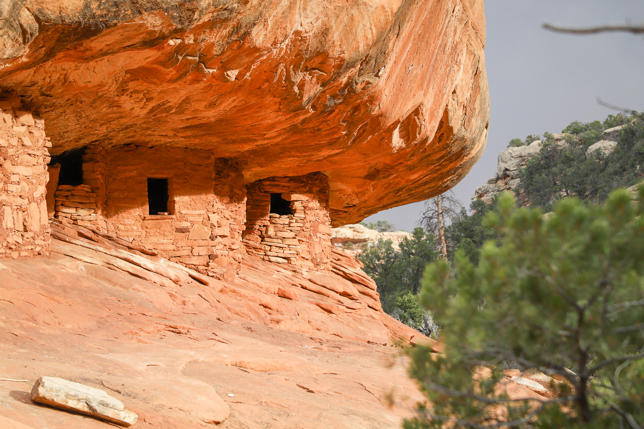
House on Fire Ruins
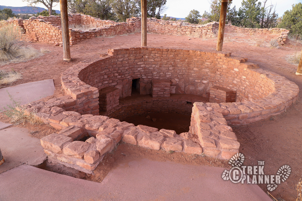
Mule Canyon Kiva

Tower Ruin
Butler Wash Ruins
Cave Tower Ruins
Lower Mule Canyon Ruins
Hidden Valley Ruins
Premium Trek
Fishmouth Cave Ruins

Monarch's Cave Ruins

Alcove Ruins
Big Crane Petroglyph Panel
Wolfman Petroglyph Panel

Sand Island Petroglyph Panel
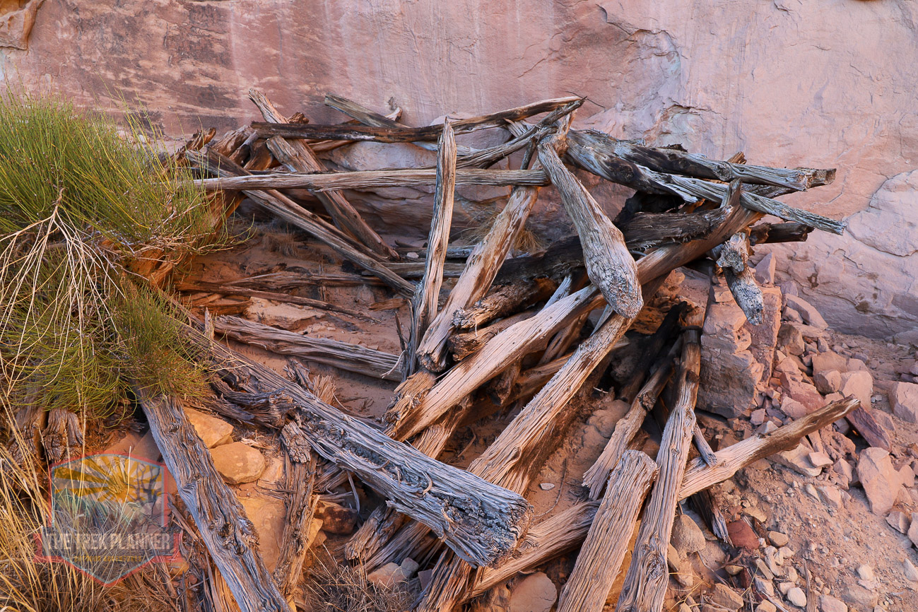
Navajo Hogan
Premium Trek
River House Ruins

Kachina Petroglyph Panel