The Trek in a snapshot
Location
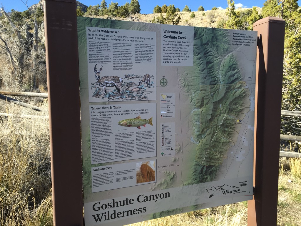
Goshute Creek, Nevada
Managing Agency
Unknown
Pets
Allowed
Fees
None
Restrooms
None
Camping
Not allowed
Trail Condition
Flat dirt and grass area
Sights
Goshute Creek, Cherry Creek mountains, camping area
Water Info
Bring your own water
Best Season
Spring, summer, fall
Distance
You can drive right up to the camping area
Time Required
As long as you like
Parking Elevation
6265 ft
Summit Elevation
Varies
Elevation Difference
Varies

Trek Planner Maps
Goshute Creek Camping Area: 40.049105°, -114.798555°

Experience. Discover. Explore.
Follow along on our adventure then go out on your own!


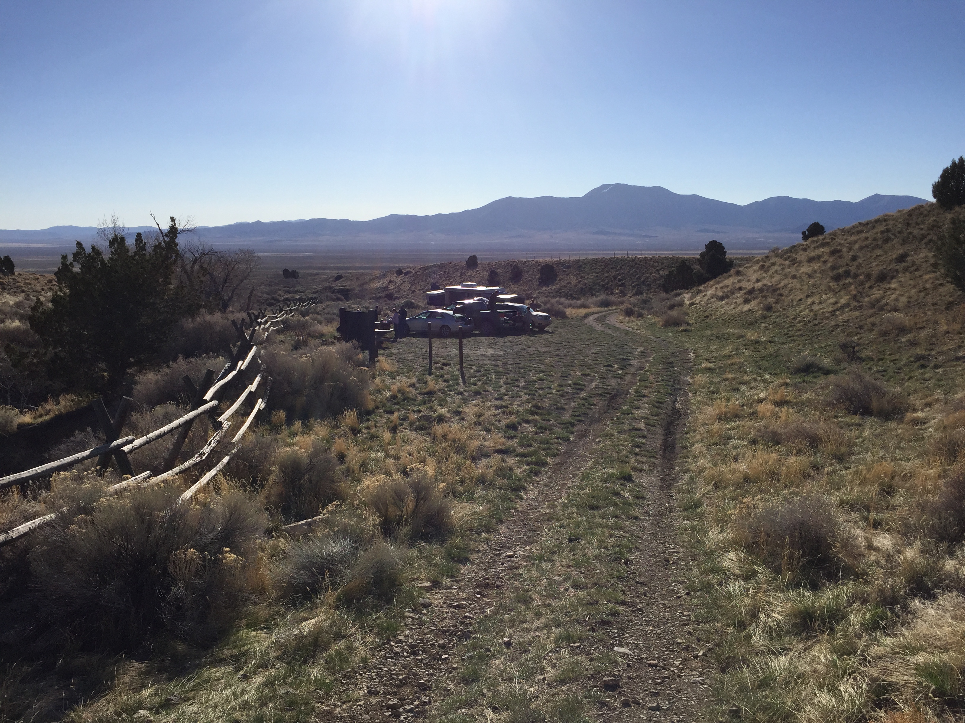
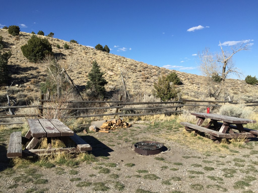
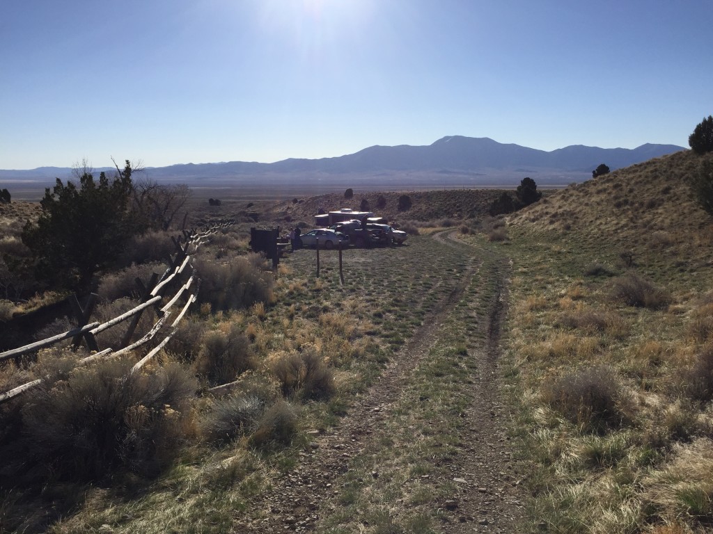
Goshute Creek is a great camping area located on the east side of the Cherry Creek Range mountains that is accessed by any type of vehicle – even though it is a dirt road. The road goes straight up to a flat grassy area that is big enough for large tents and even a few trailers. There are two picnic tables and a fire pit for cooking.
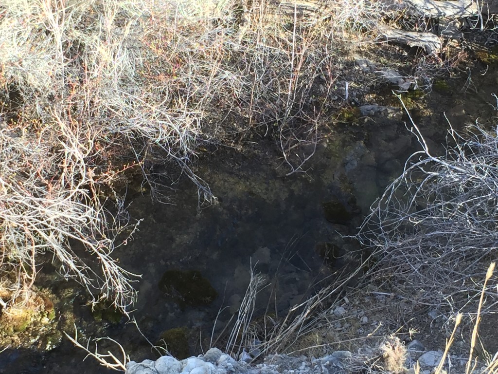
Goshute Creek is a perennial creek which slowly meanders down into the Goshute Basin bringing life into the desert. It was very nice to camp near a creek and after a full day of exploring it felt really good to walk down and wash myself off.
On a recent trip to Goshute Cave, we decided to camp here because we were hauling a camping trailer and needed a nice flat area.
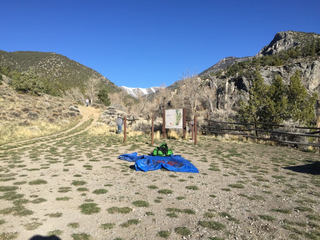
The camping area is fairly flat and provides many spots for tents or tarps for sleeping underneath the stars.
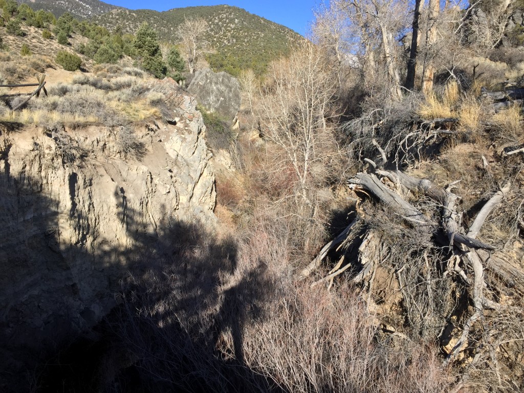
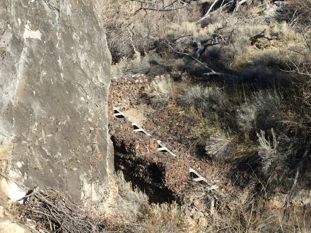
About 50 yards to the west of the picnic tables, the BLM built a few gabions which you can still see in the picture below. There is also a small swimming hole and a few bolts in the rock to practice rappelling or climbing.
The creek has eroded down about 15-20 feet and is not easily accessed unless you walk down about 100 yards to the east. You will see a small gauging station with a measuring stick in the water. This was the best access I found to the creek.

Personal Thoughts
I enjoyed camping in this location because it was next to a creek and it provides some good white noise to fall asleep to.