

The Trek in a snapshot
Location
Near Moab, Utah
Managing Agency
BLM
Pets
Allowed
Fees
None
Restrooms
None
Camping
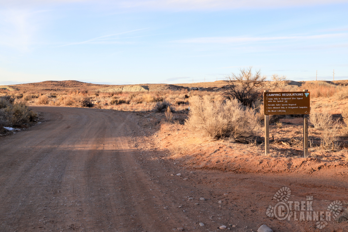
Allowed in designated areas only. Please clean up after yourself
Trail Condition
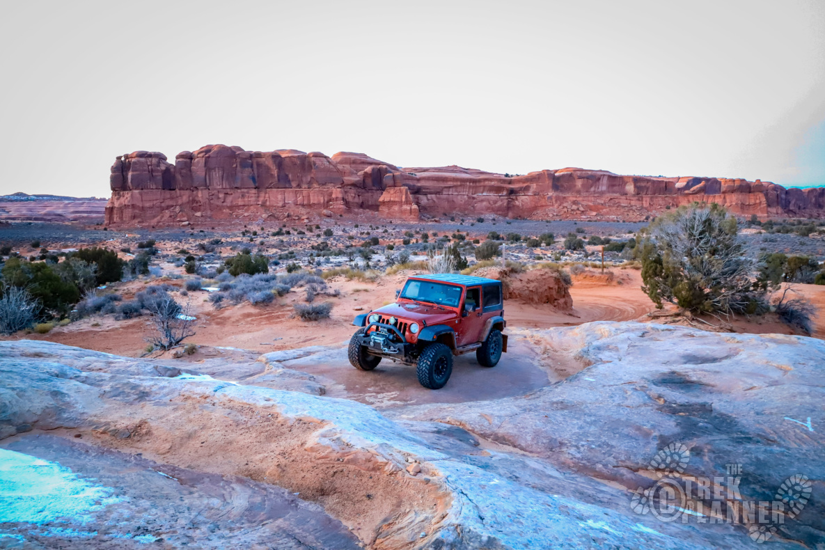
Dirt and sand road. Some points are pretty narrow but I got my Jeep Wrangler JK through just fine. Just be cautious if it rained recently.
Sights
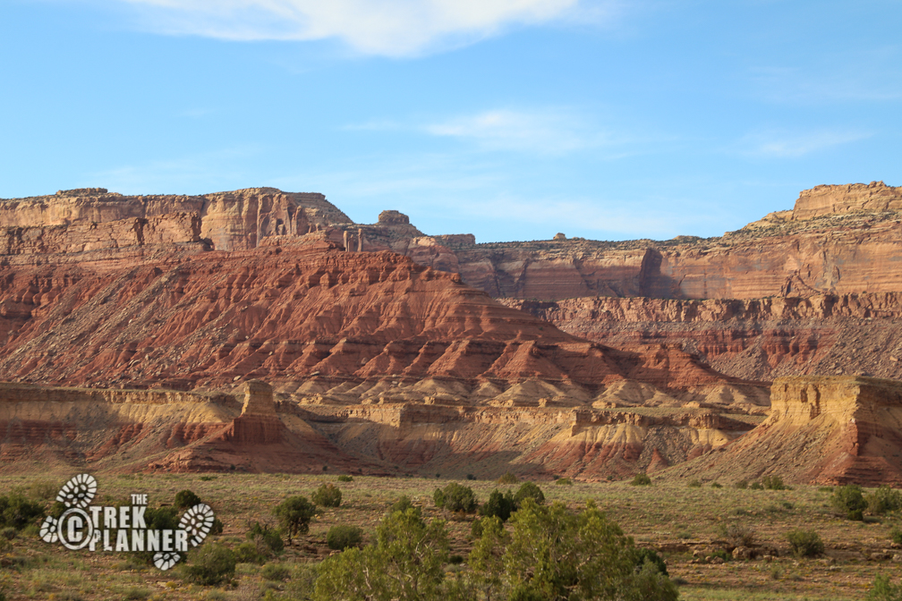
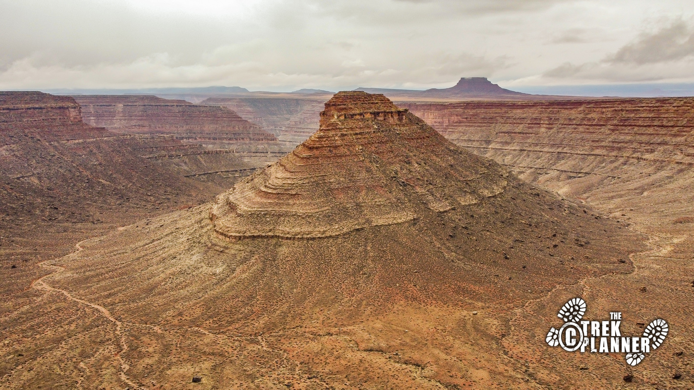
Determination Towers, Merrimack and Monitor mesas, other incredible rock structures
Water Info
Bring your own water
Best Season
All
Distance
11 miles roundtrip
Time Required
2-3 hours
Parking Elevation
4597 ft
Summit Elevation
4910 ft
Elevation Difference
313 ft

Trek Planner Maps

Trail Start: 38.727, -109.72249
Trail End: 38.68278, -109.75108

Experience. Discover. Explore.
Follow along on our adventure then go out on your own!


Driving Directions
A high clearance vehicle is required to get to Determination Towers. Longer vehicles will have a much harder time navigating this trail so I would recommend you bring ATVs or a shorter vehicle. 4-wheel drive is required too.
Once again, I found myself on Google Earth looking at places around Moab that I haven’t visited yet. I found these interesting sandstone towers, did a little more research, and found they were called Determination Towers. With a name like that, how could anyone resist visiting! So, I got some time off and headed down in my Jeep to see what was out there.
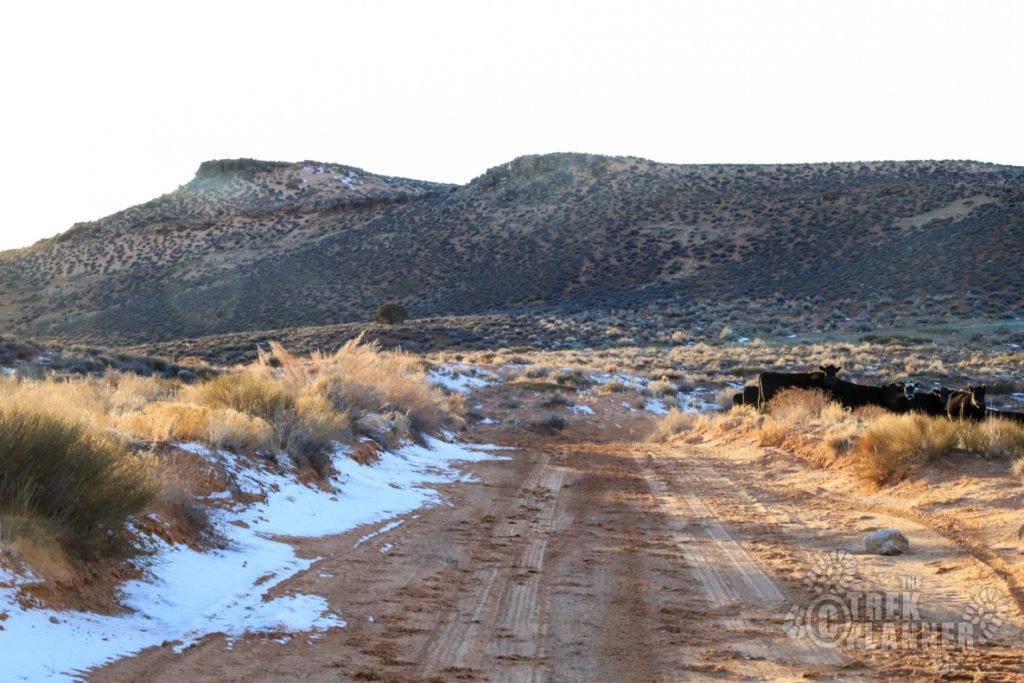
When I passed the Moab Airport the turn off for the towers is just a little bit farther. Mill Canyon road is the one you are looking for and you will need to get off Highway 191 and immediately cross over some railroad tracks. Make sure no train is coming before crossing of course.
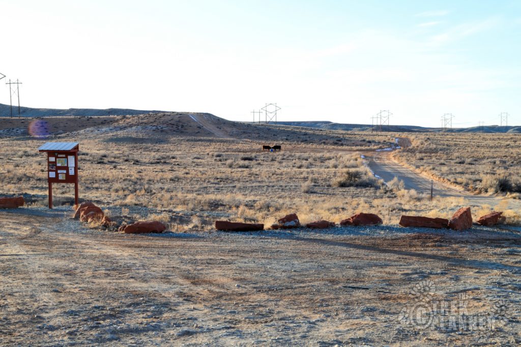
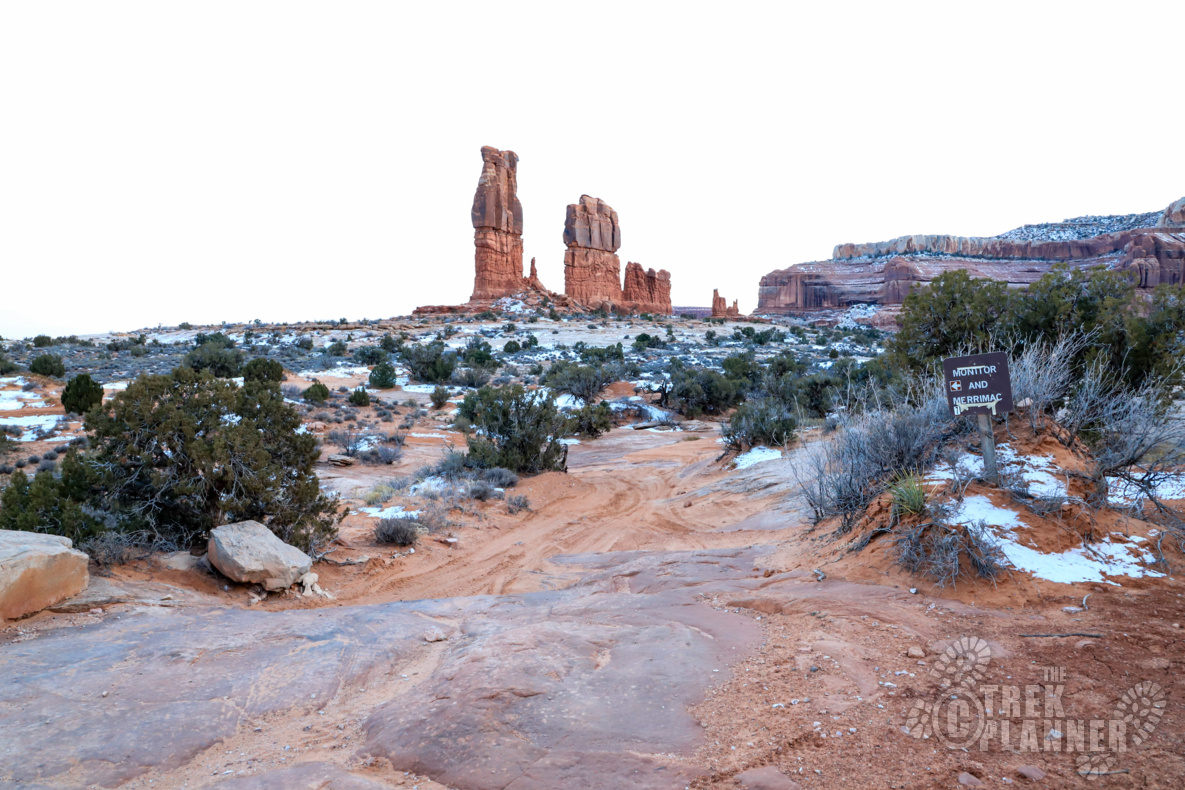
The paved asphalt will now turn into dirt and you will probably notice all the “no trespassing” signs on the sides of the road. Pretty much this entire area at the beginning is private property on both sides but you are free to travel down this road so long as you respect the property. Keep going until you come to a large dirt parking area with a BLM sign. This sign will point you to Merrimack and Monitor mesas. This is the trail you will need to drive on. (The mesas are farther down the road from Determination Towers.)
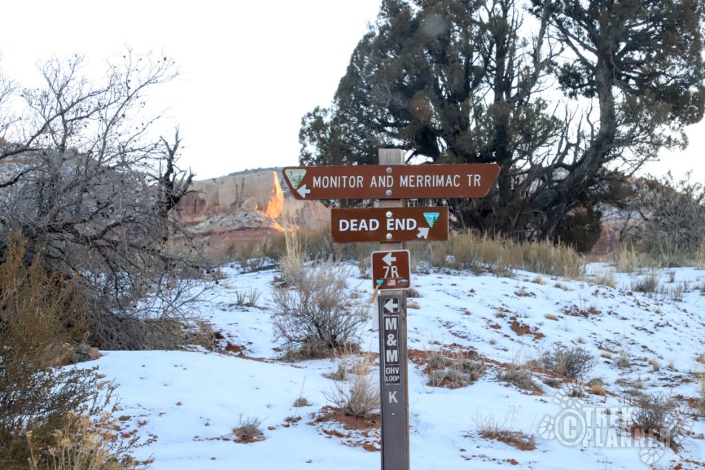
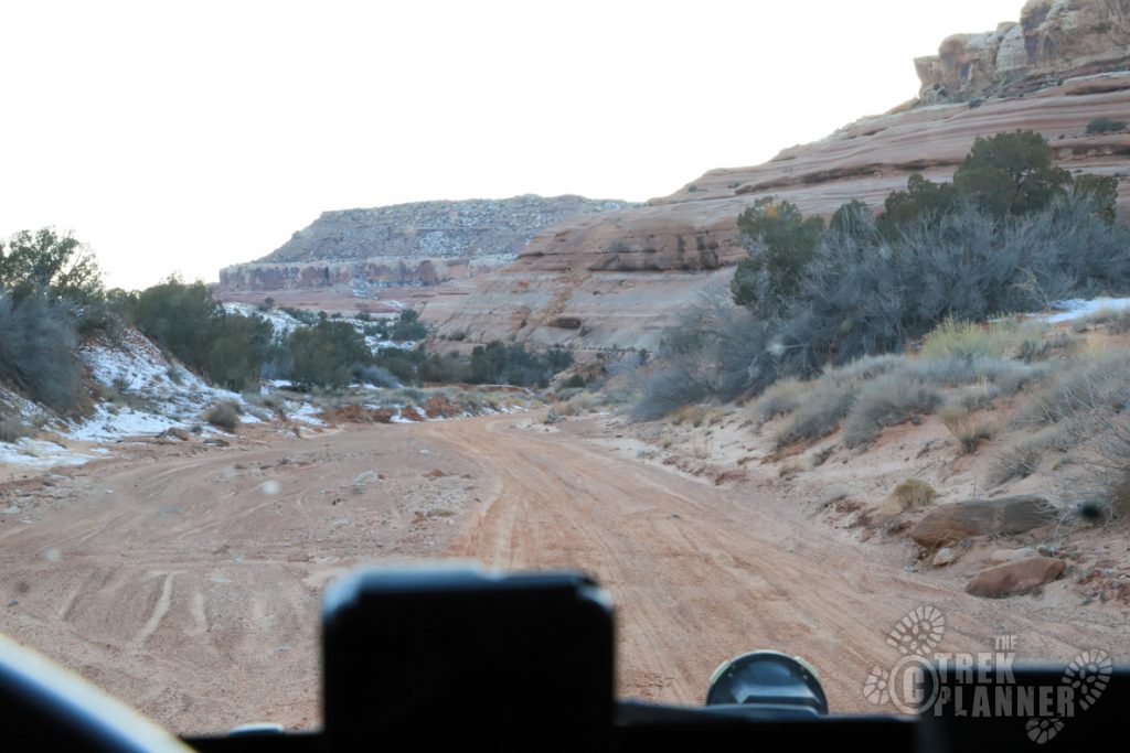
The dirt trail is really easy to navigate and you will not have any trouble getting through this part. If you have troubles with directions, simply download my map and use it as a reference but someone was nice enough to strategically place signs pointing you to Merrimack and Monitor mesas.
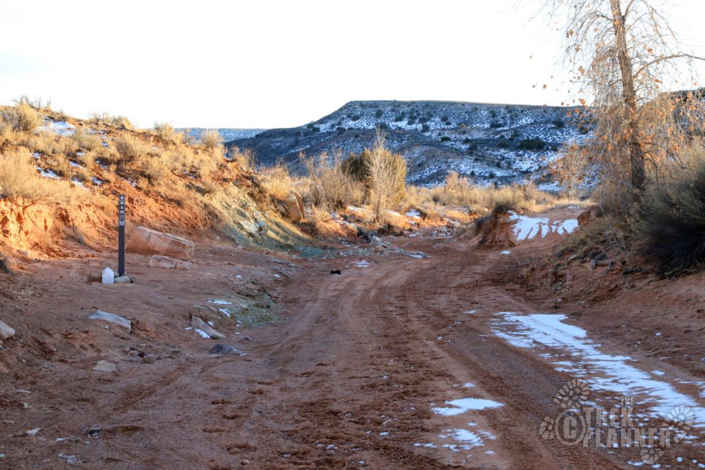
After a mile or so, you will come to a fork in the road – take a left and continue on.
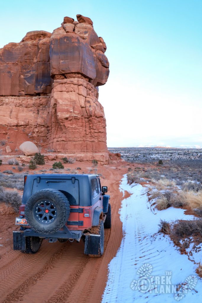
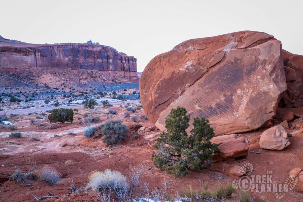
The trail takes you through a canyon and you will drive through some washes, hopefully without too much water in them. This part was SANDY! Thank goodness it wasn’t wet or I probably would have gotten stuck.
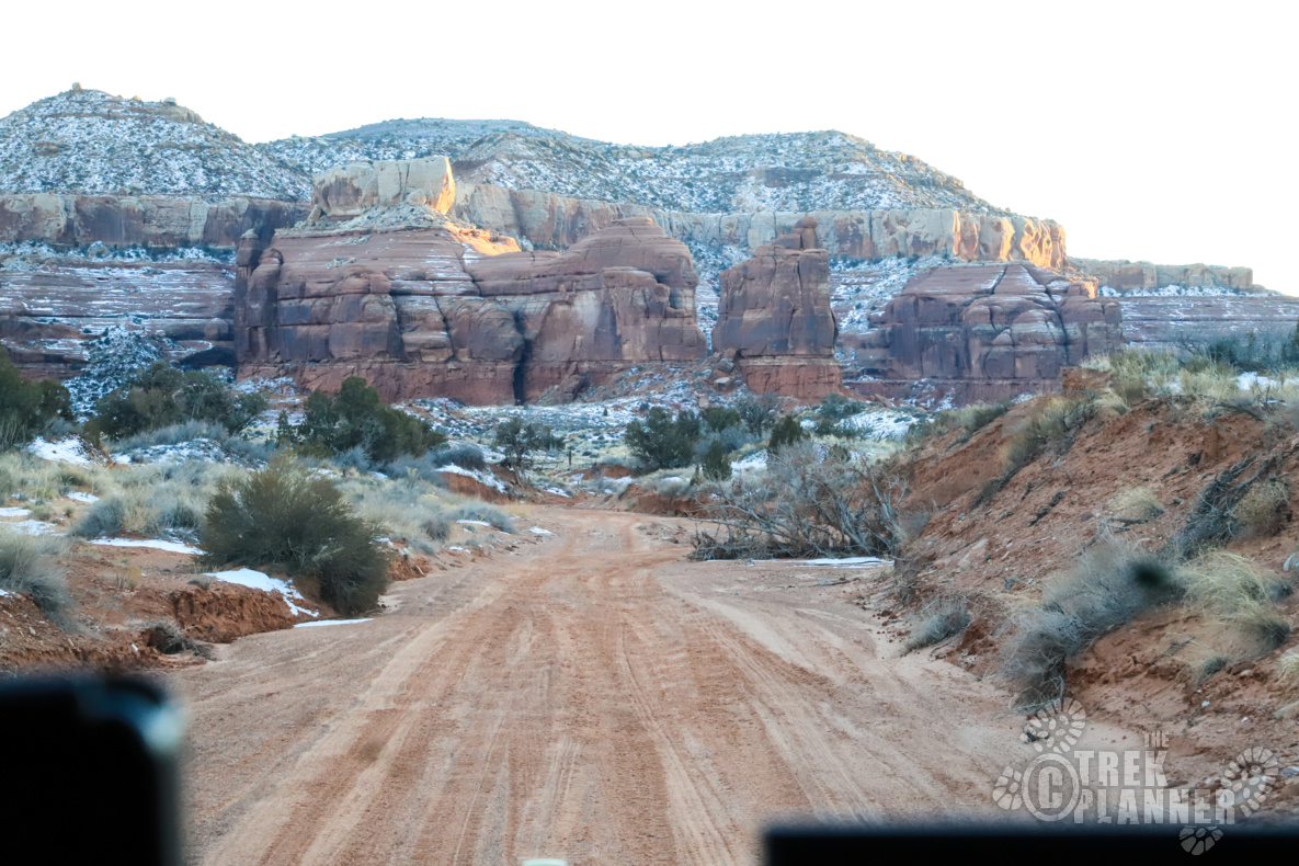
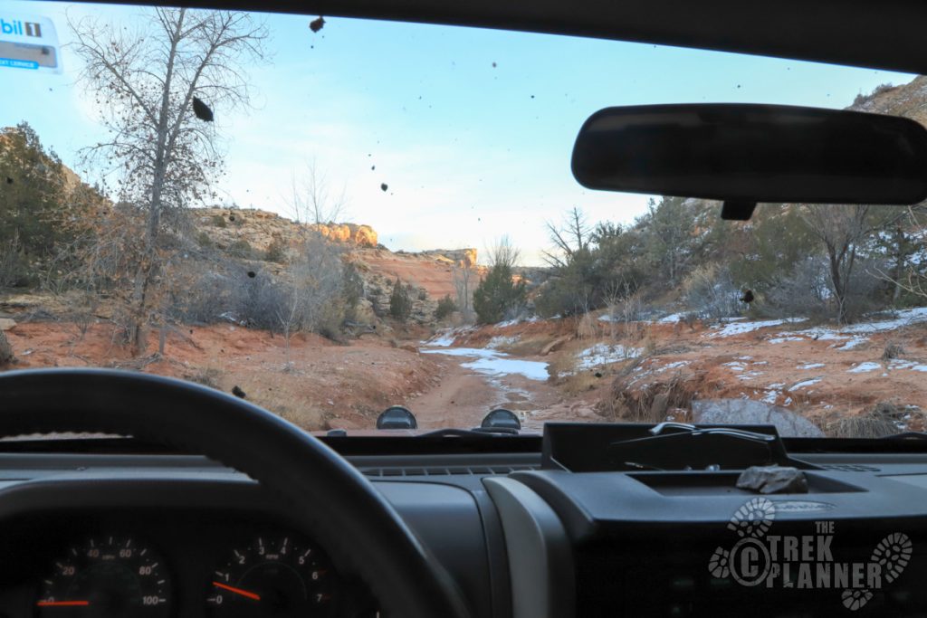
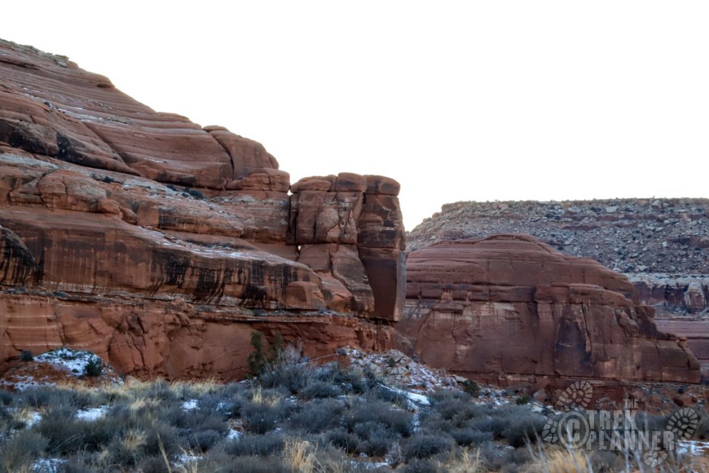
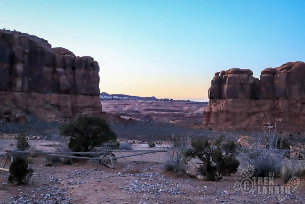
Eventually the canyon gets pretty narrow but not narrow enough to get worried about anything. There was only one spot where I thought my Jeep was going to get scraped up badly because of a boulder that was right on the side of the trail. I just went very slow and probably got within a few inches of it. Then the trail cuts west and I didn’t encounter any other major obstacles for the rest of the drive.
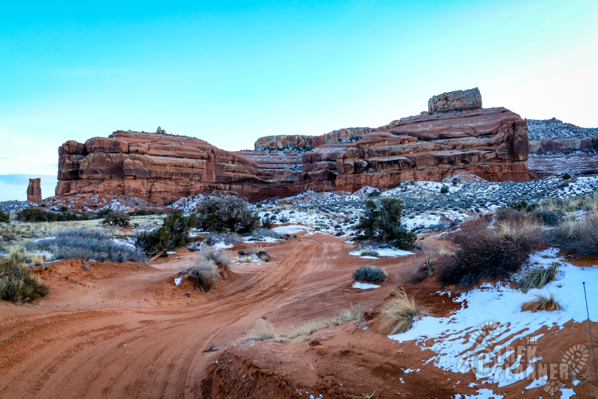
There was one other fork in the road but it said it was a dead end to the right. Take the left again and keep going.
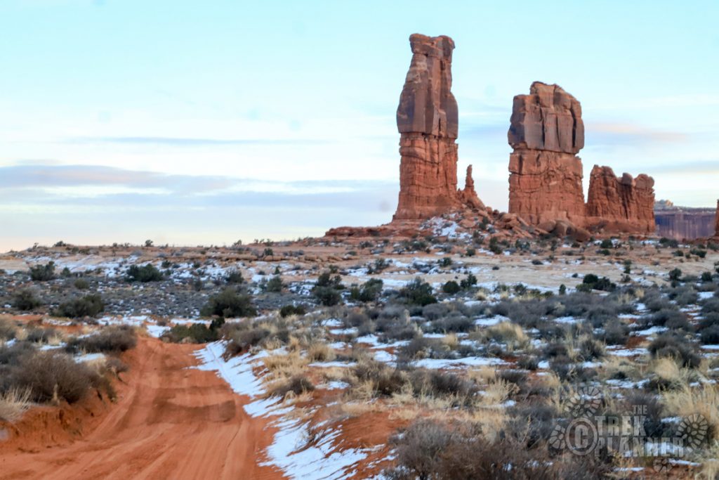
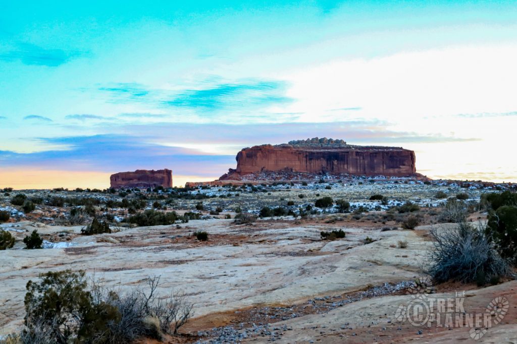
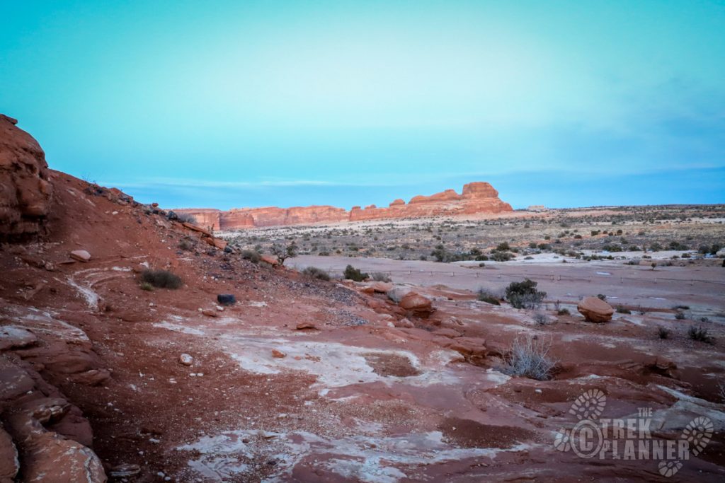
The trail will go between two mesas (not Merrimack or Monitor) and you will see Determination Towers in the distance.
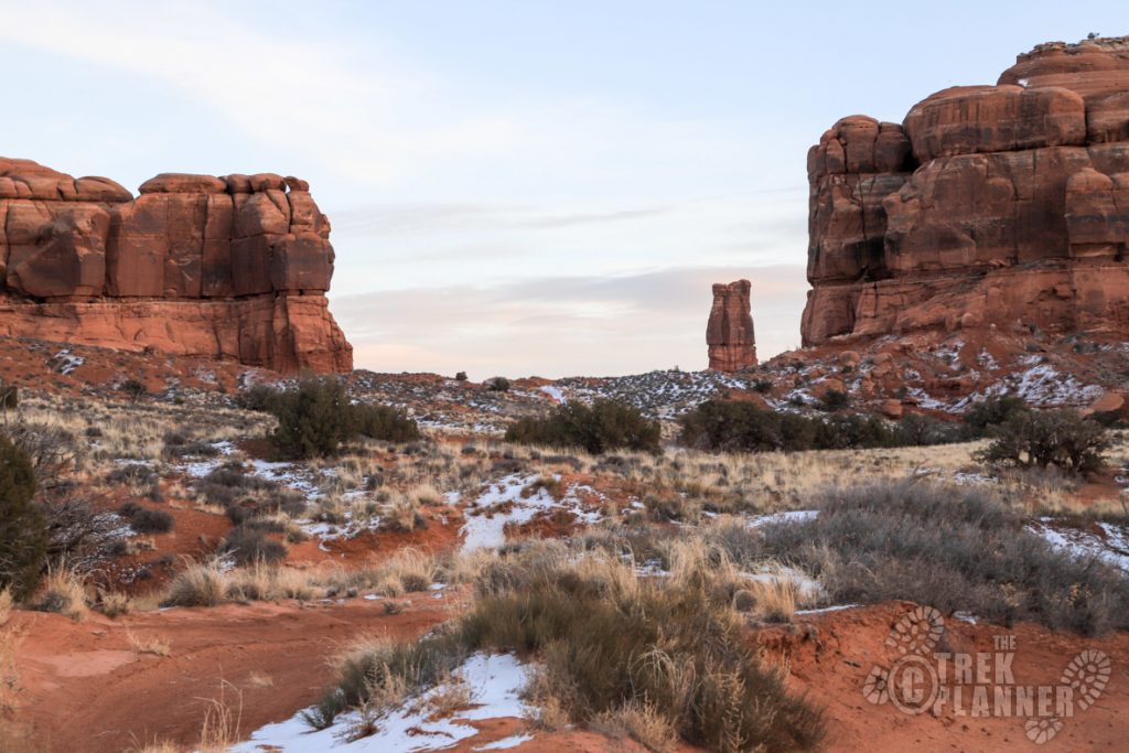
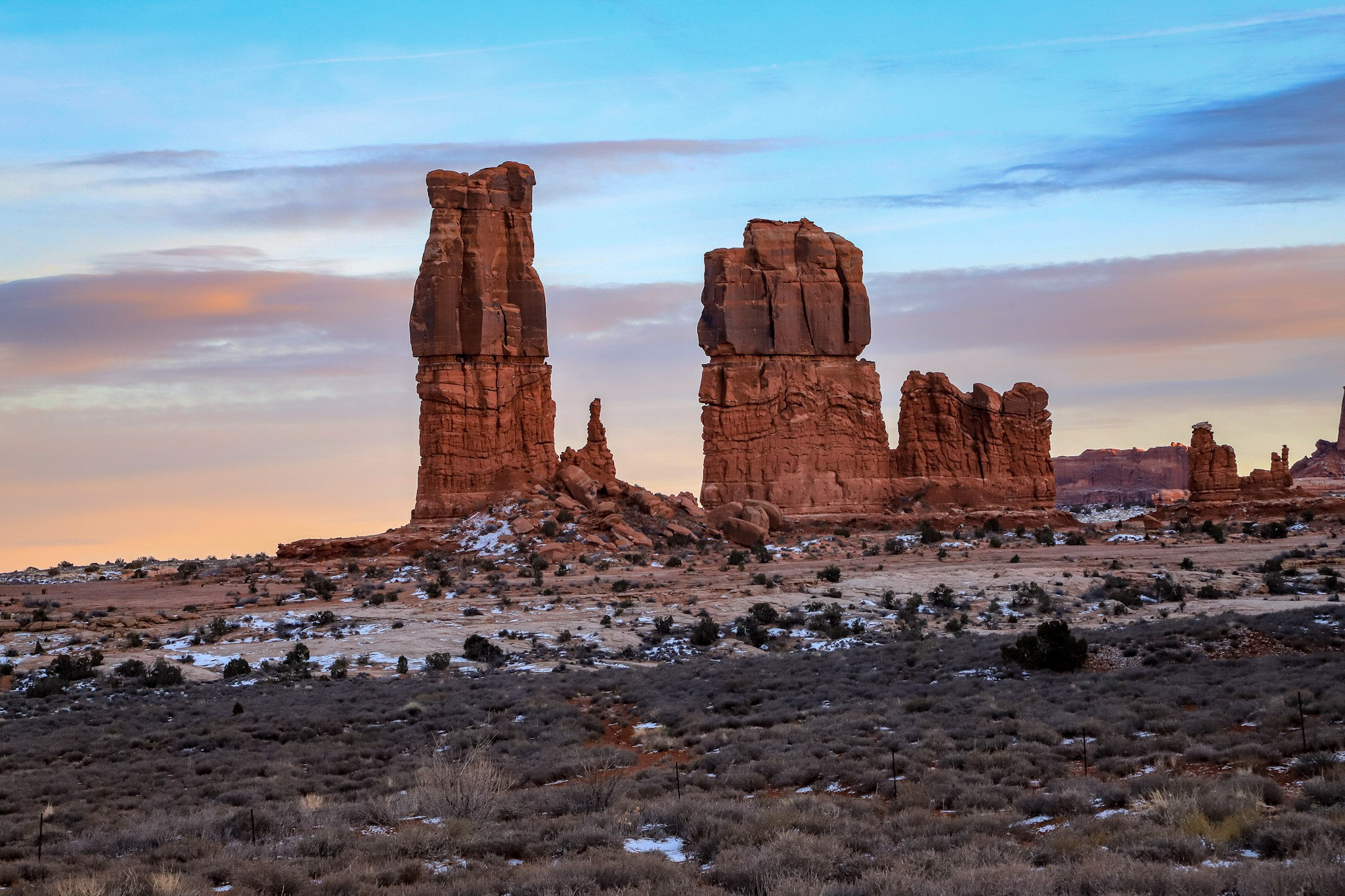
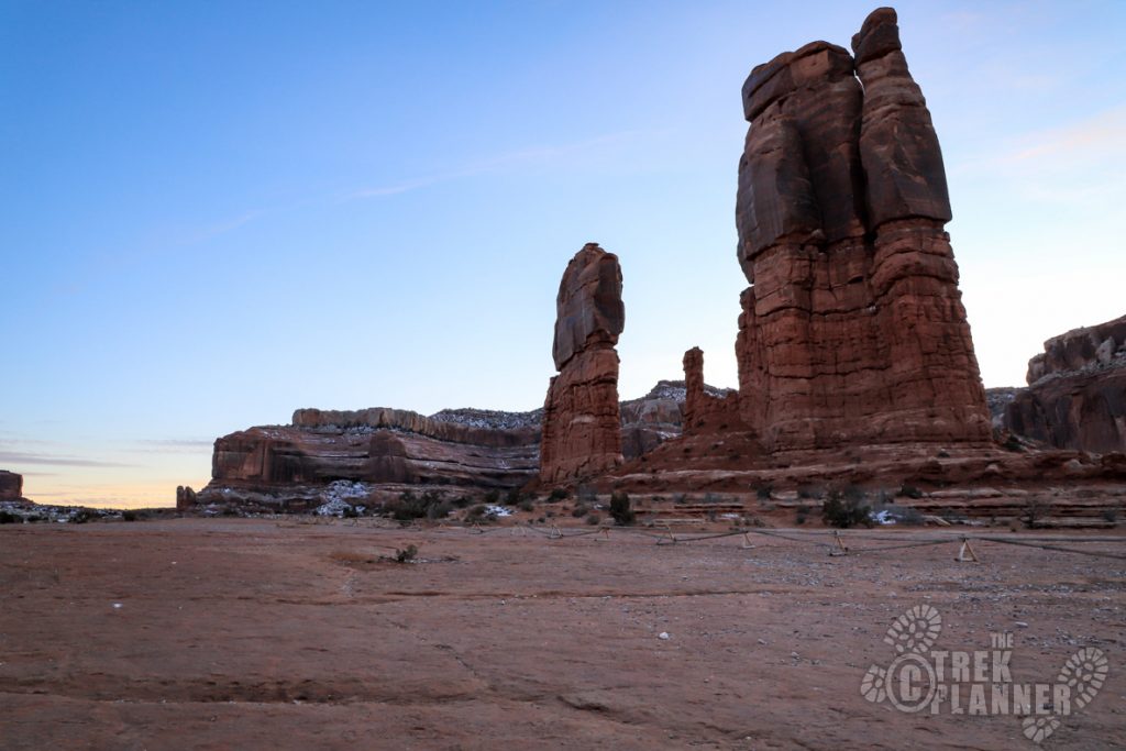
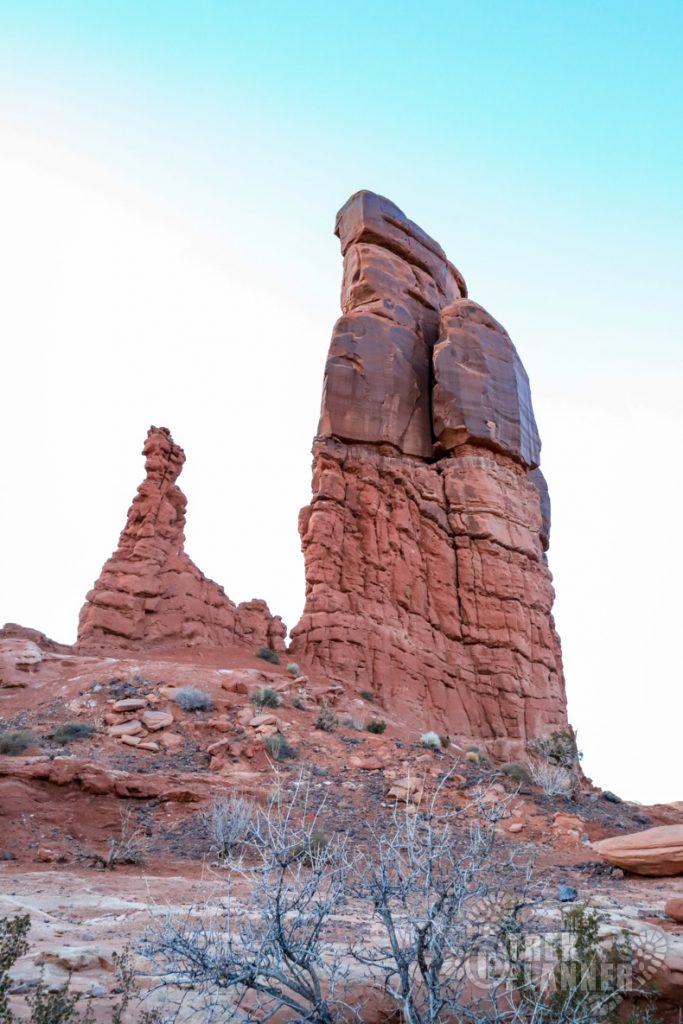
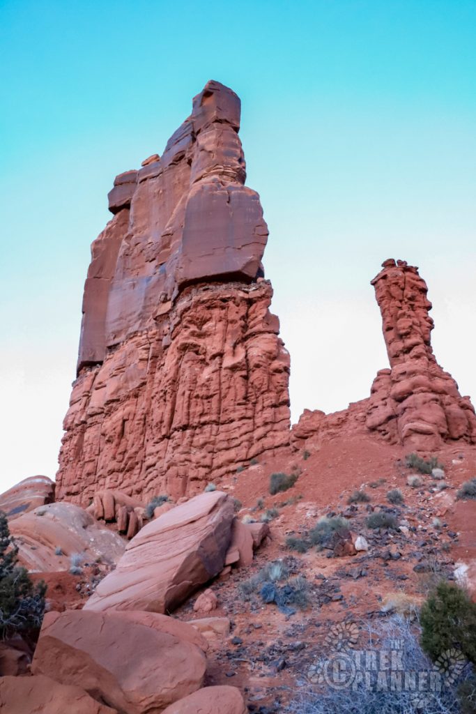
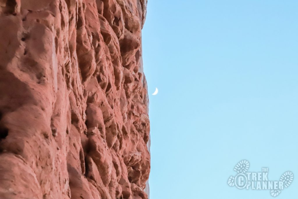
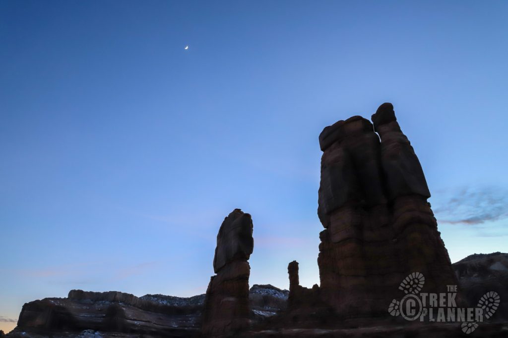
Determination Towers in all their glory! They are probably 250-300 feet tall.
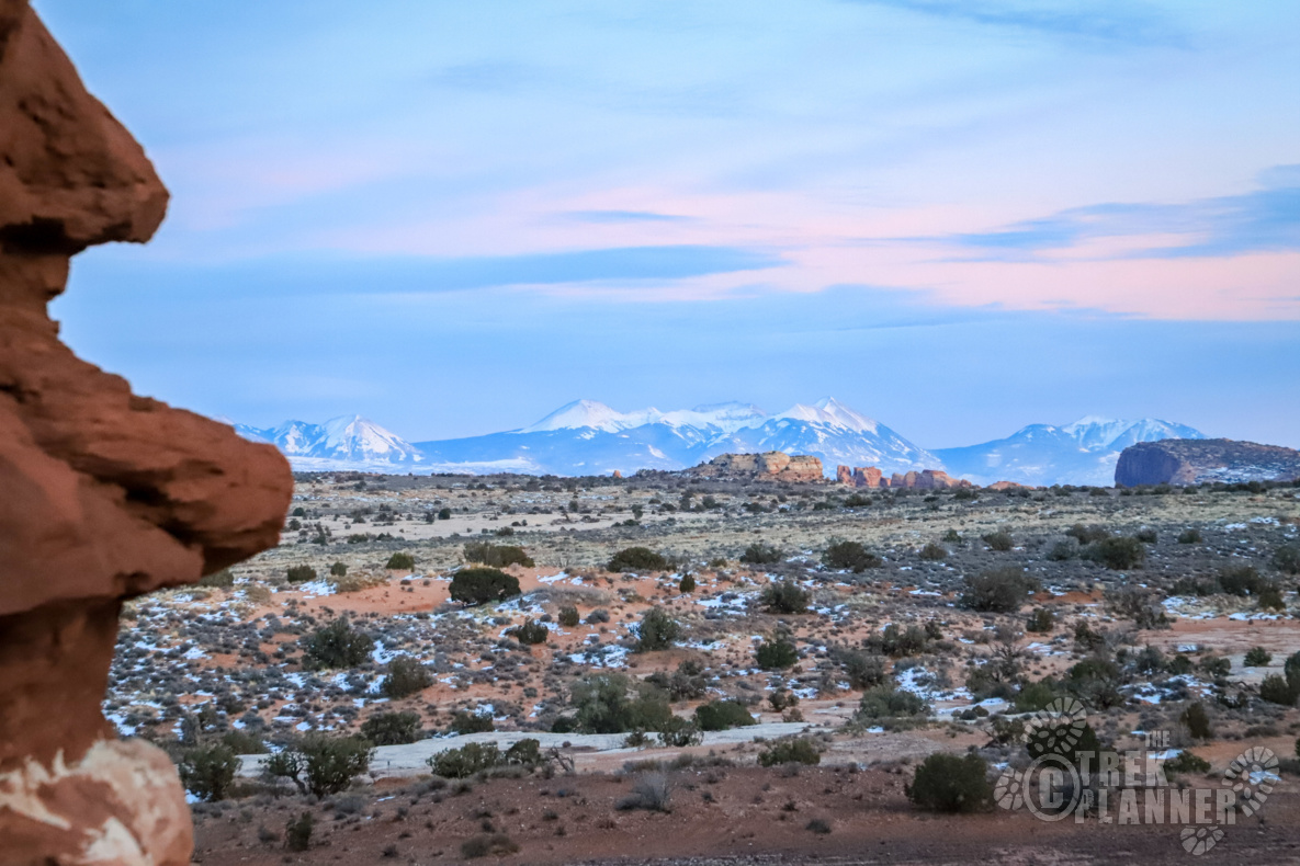
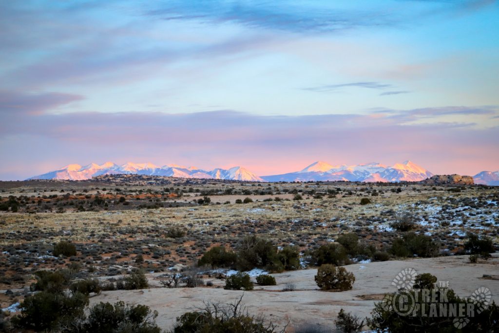
It’s not too much farther from this point. Just follow the trail until you come up to the towers. You can see the beautiful La Sal mountains in the background too.
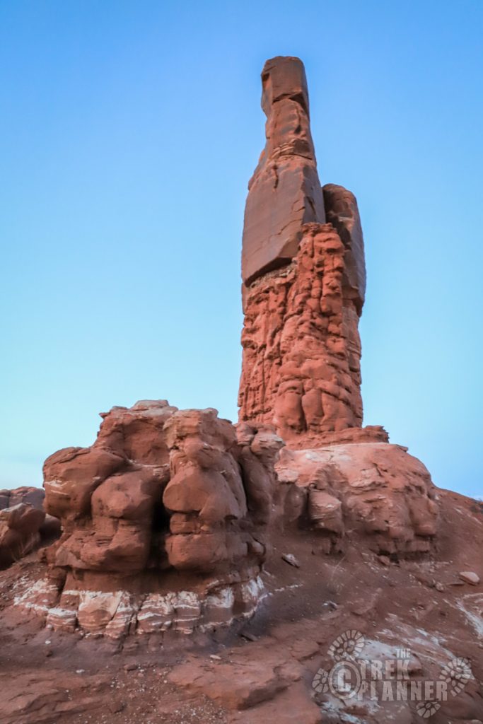
You can drive right up to the wooden fence that circles part of Determination Towers. This part of the trail was steep and slippery but I just went even slower for the remaining 200 ft to the towers.
The towers are incredible up close because they seem perfectly straight and thin and they come right up out of the ground! I spent about an hour hiking around them and taking pictures before it got too dark. Determination Towers is a fitting name because these towers are unlike anything in the area and they stick out like a sore thumb! You can’t help but want to climb all over and explore them.
I didn’t see anyone else out here and it was nice to have the entire place to myself.


Personal Thoughts
I really enjoy these types of adventures. Finding a place on a map and driving there. Determination Towers was an adventure filled trip and I would do it again!
Hey Jeff! Could this be done in a 4×4 truck?
Hi Rhonda! I think you could as along as it’s high-clearance!