The Trek in a snapshot
Location
Denali National Park, Alaska
Managing Agency
Denali National Park
Pets
Not allowed
Fees
None
Restrooms
Only at the Denali NP visitor center
Camping
Allowed by permit only. Speak with the Backcountry Information Center for more info
Trail Condition
Good trail in parts, but it disappears in some places. Very steep once you are getting towards the top.
Sights
Mt. Healy, Denali, wildlife, Dall sheep
Water Info
Bring 3+ liters of water
Best Season
Summer or early fall
Distance
9.41 miles
Time Required
6-9 hours
Parking Elevation
1766 ft (from the Visitor Center)
Summit Elevation
5660 ft
Elevation Difference
3894 ft

Trek Planner Maps
Denali Park Visitor Center: 63°43’52.12″N, 148°55’21.80″W
Mt Healy Overlook Trail End: 63°44’33.33″N, 148°57’13.76″W
Alpine Meadow: 63°45’22.75″N, 148°58’21.58″W
Small Cave: 63°45’50.35″N, 148°59’1.19″W
The Monolith: 63°46’6.83″N, 148°59’44.91″W
National Park Marker: 63°46’23.01″N, 149° 0’32.48″W
Mt Healy (The Castle): 63°46’50.21″N, 149° 0’46.29″W
Bison Gulch Turn: 63°47’42.72″N, 149° 0’33.36″W
Bison Gulch Parking Lot: 63°48’18.13″N, 148°57’14.37″W

Experience. Discover. Explore.
Follow along on our adventure then go out on your own!


Driving Directions
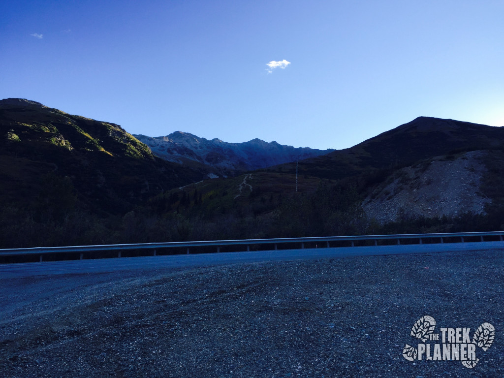
Note: You will need a shuttle system for this Trek. Park a car at the Bison Gulch Bridge pull-out and then have someone bring you to the Denali National Park Visitor Center. Or you could simply have two cars and park at both locations.
NOTE: You may need layers of clothes such as a jacket, sweater and some mid layer clothes. You will be gaining around 3800+ ft so you may go from warm to cool to cold. Also, the lower altitude portions of this trek are in prime moose and bear habitat. Please use common sense and be aware of your surroundings at all times!
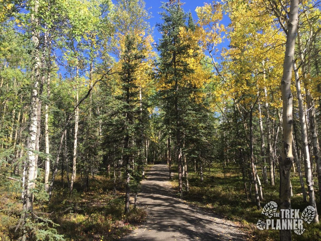
I hiked this trail during the last week in August and it was probably one of the best days for hiking I have had in Denali this year. The fall colors were out, the air was cool and there wasn’t any rain!
This trail starts off just the same as the Mt. Healy Overlook Trail. You will begin at the Denali National Park Visitor Center and hike towards the west side of the parking lot and follow the trail markers to get to the Mt. Healy Overlook Trailhead.
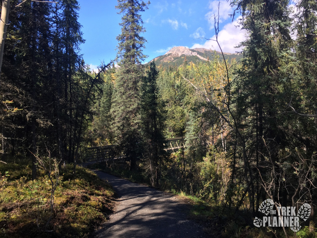
Just follow the trail which winds around for a bit until you come to the bridge which crosses over the creek and you are on your way to the top!
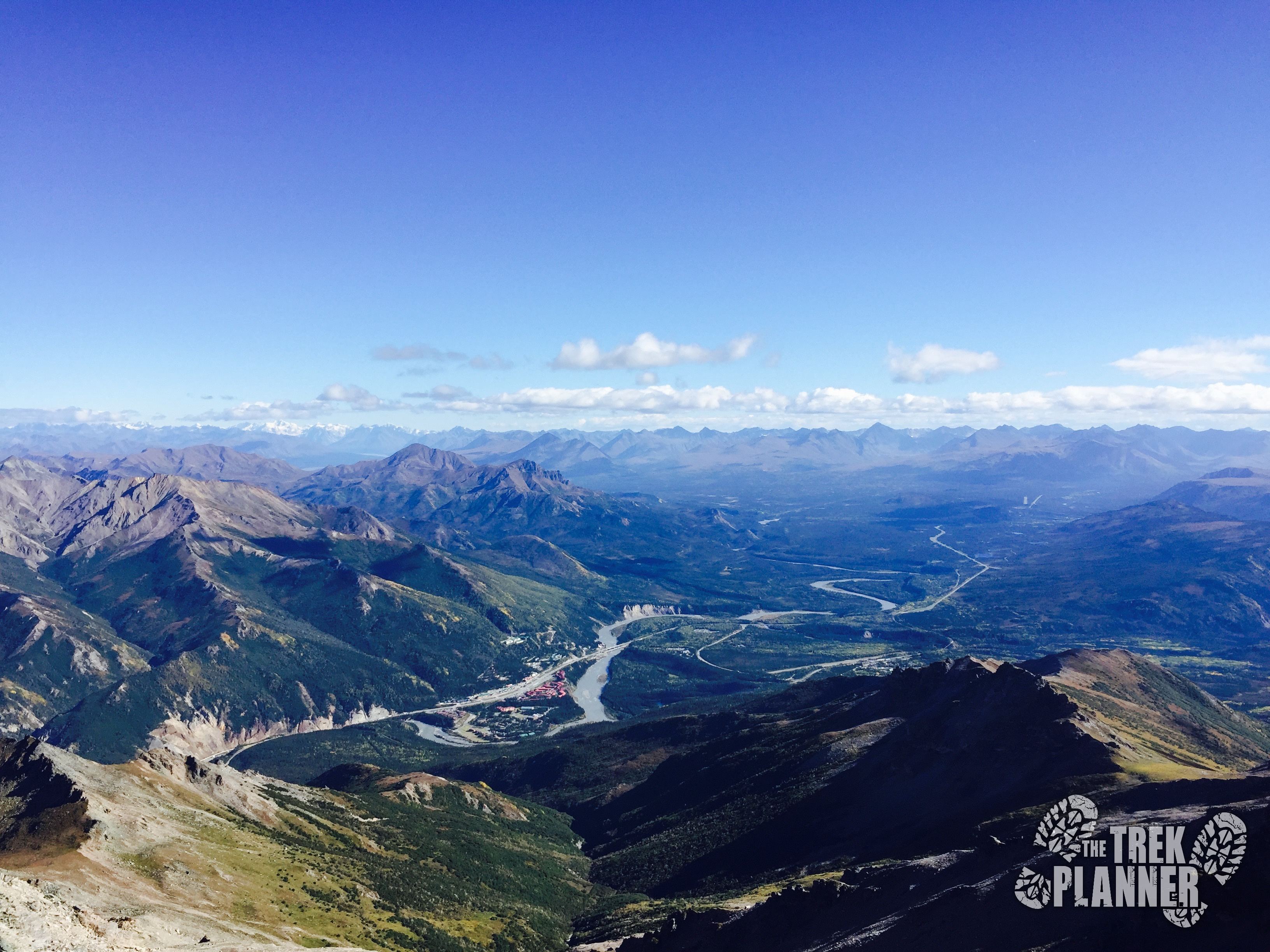
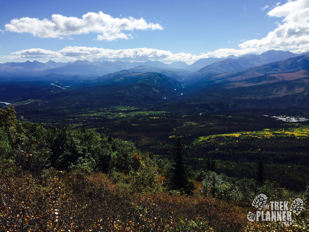
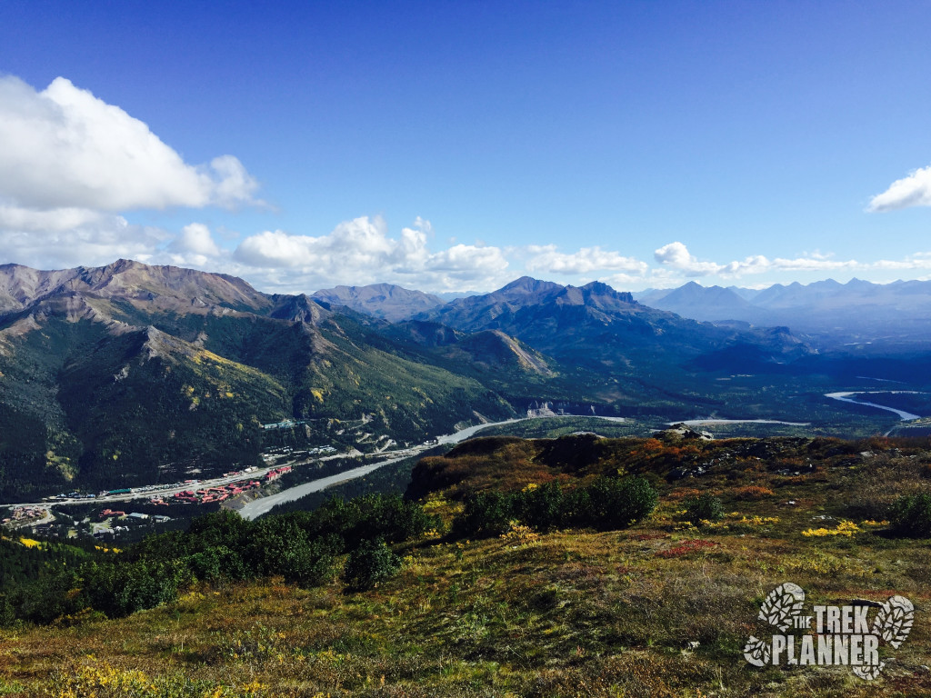
I’m not going to go in to too much detail with the Mt. Healy overlook part of the trail. But, this trail gets steep and there are some switchbacks but overall it isn’t too strenuous and it ends at the top of the ridgeline and offers and incredible overlook of the entrance to the national park.
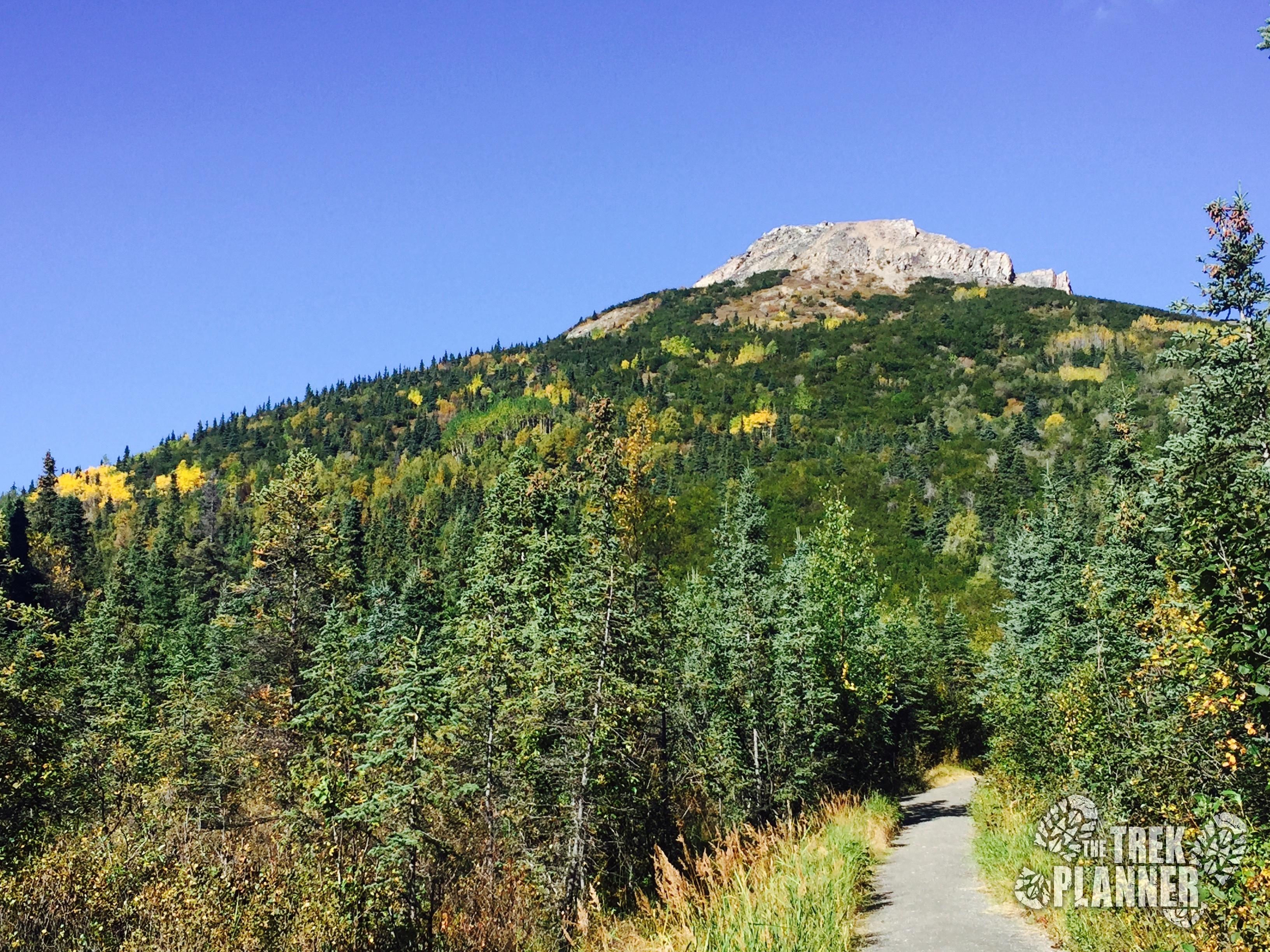
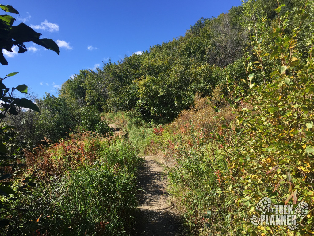
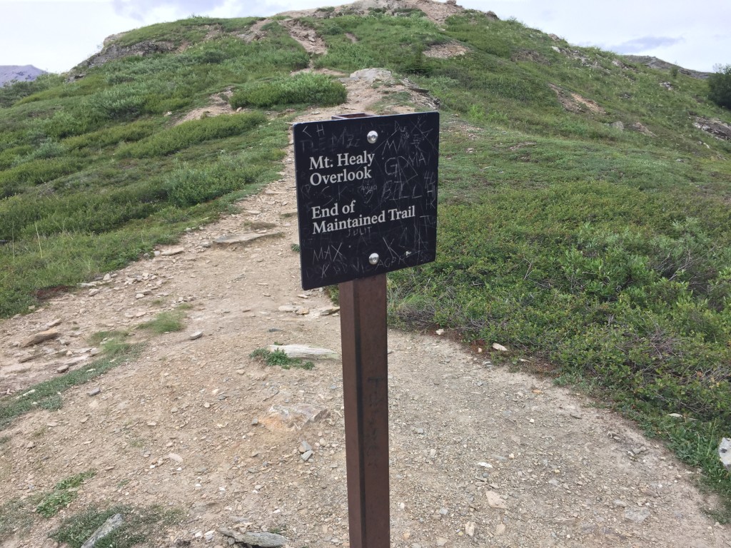
You will know you are at the end of the Mt. Healy Overlook portion of the hike when you come to the sign which says, well, “Mt. Healy Overlook. End of Maintained trail”. This sign is at about the 2.2 mile marker.
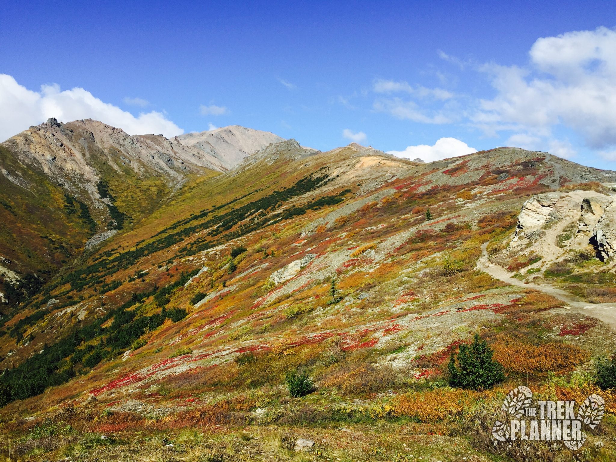
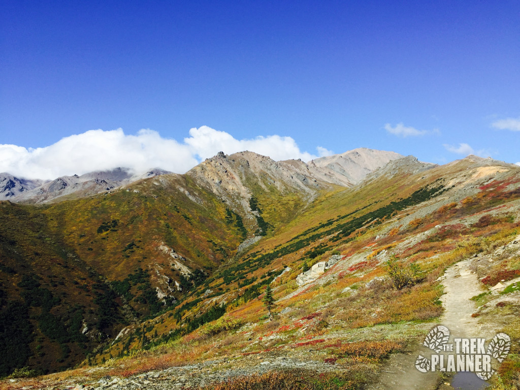
From here the trail will gain lots of elevation for a few more miles. It is easy to get discouraged during this part since you can see that you have another 4+ miles of steep climbing ahead of you but take your time, rest often, drink water and enjoy the surroundings. On this particular day it was very windy and in one spot where I was hiking on the saddle of the mountain the winds were probably near 50 MPH! I kept falling over and tripping over the rocks due to the wind’s high speed. But it didn’t last after I was near the 5 mile marker.
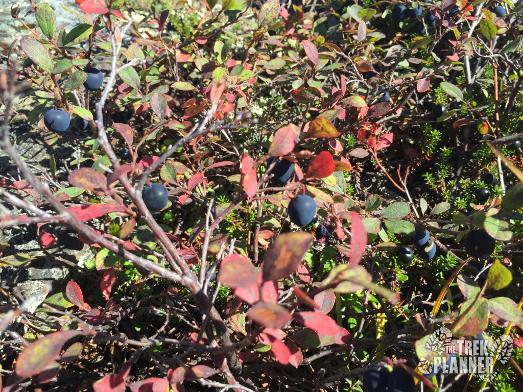
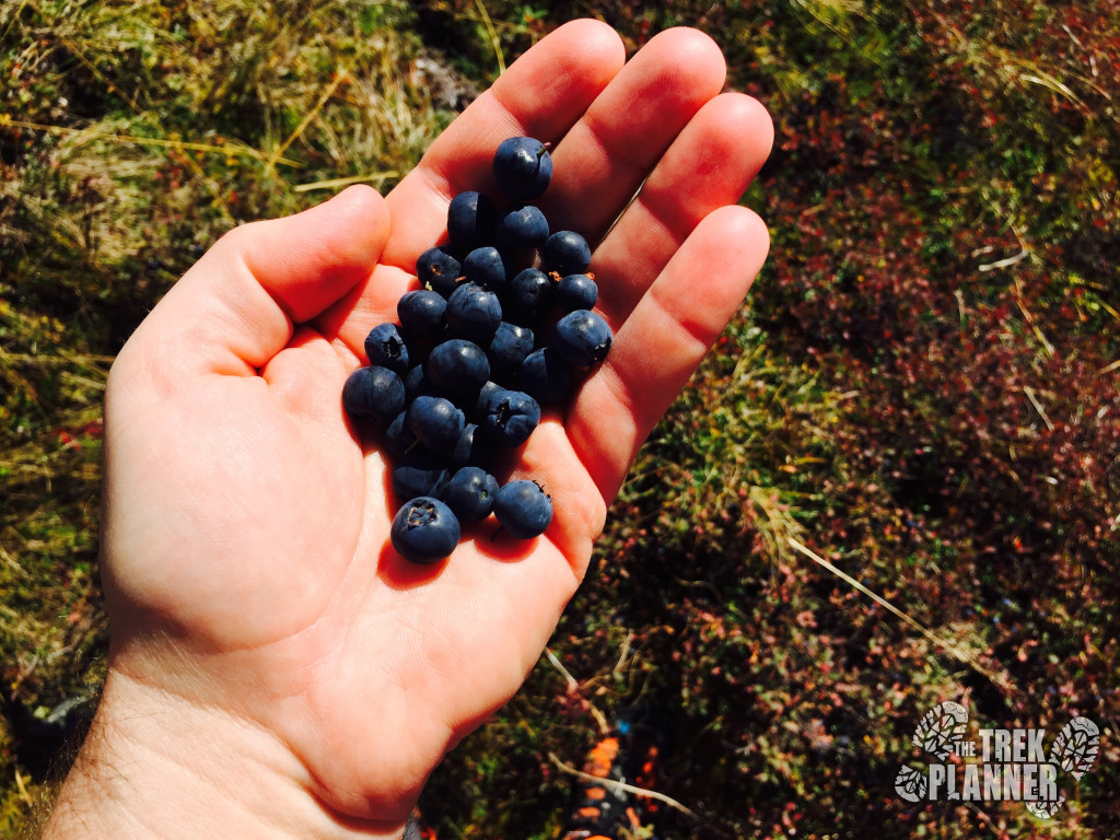
I was hiking in late August and the blueberries were ready for eating! I can’t get enough of these!
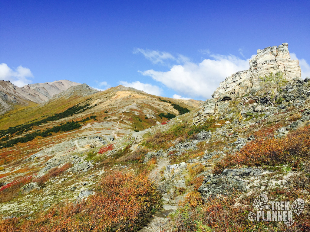
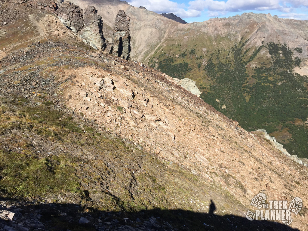
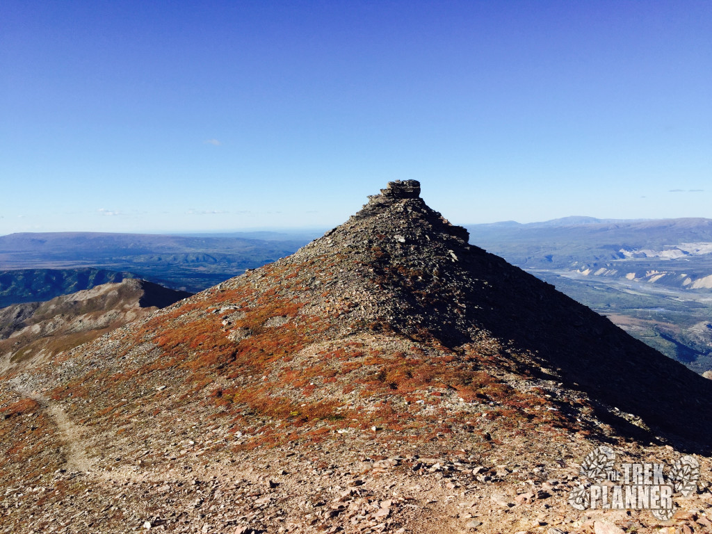
At about the 3 mile marker the trail will continue to go up a rocky tower. I didn’t go up this trail but I cut around the southern side of it and hiked on what I thought was a moose or sheep trail. Going up to the top of the rocky tower doesn’t save you any time and you will expend more energy going up and over this tower until you come to the alpine meadow.
Below is where the tower is located. Just hike on the tundra around the tower, staying at the same elevation, until you come to the grassy meadow on the other side.
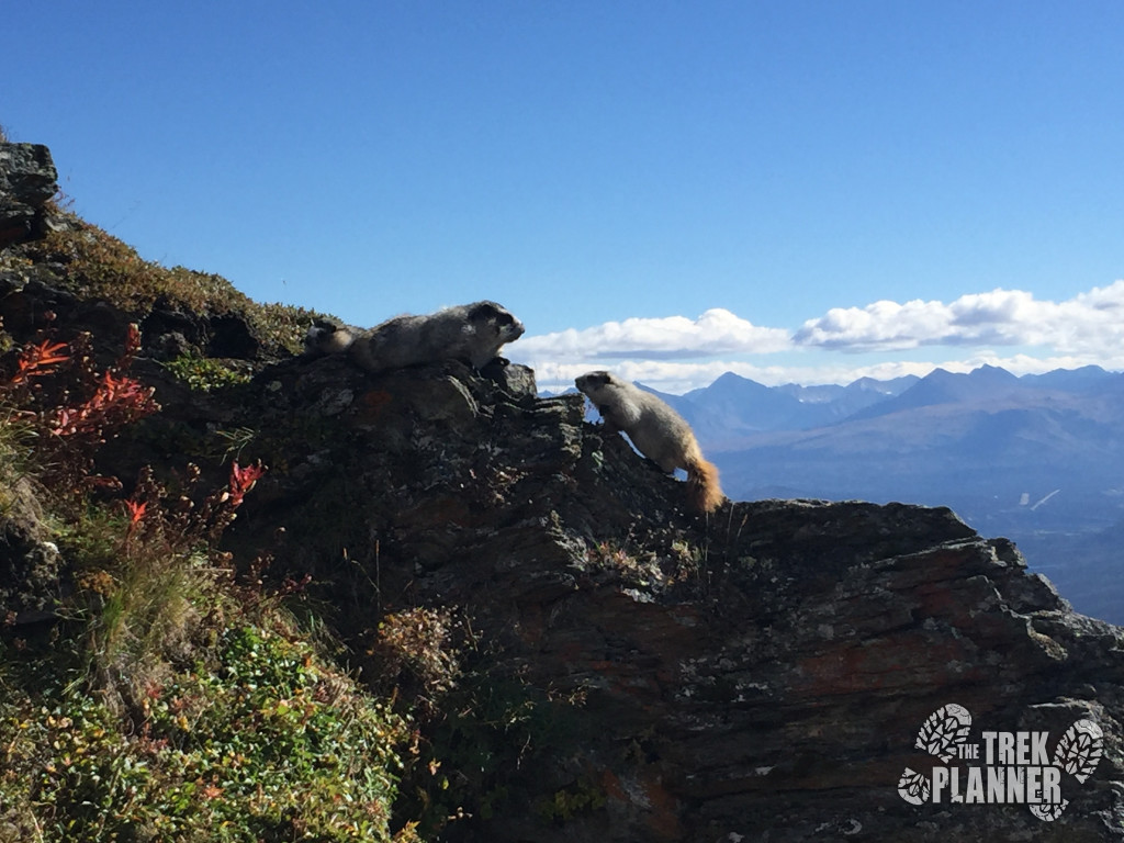
Just before the meadow I found a family of marmots that were just about as curious in me as I was in them.
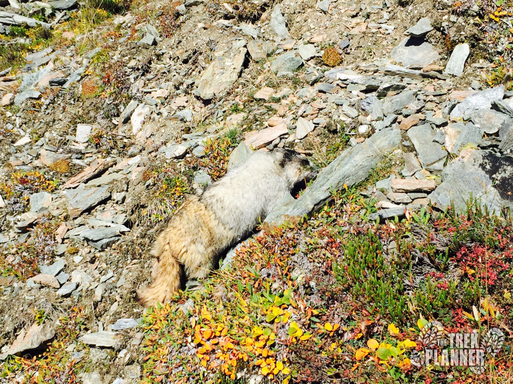
It was at this point that I could see the meadow. It was probably a hundred yards away.
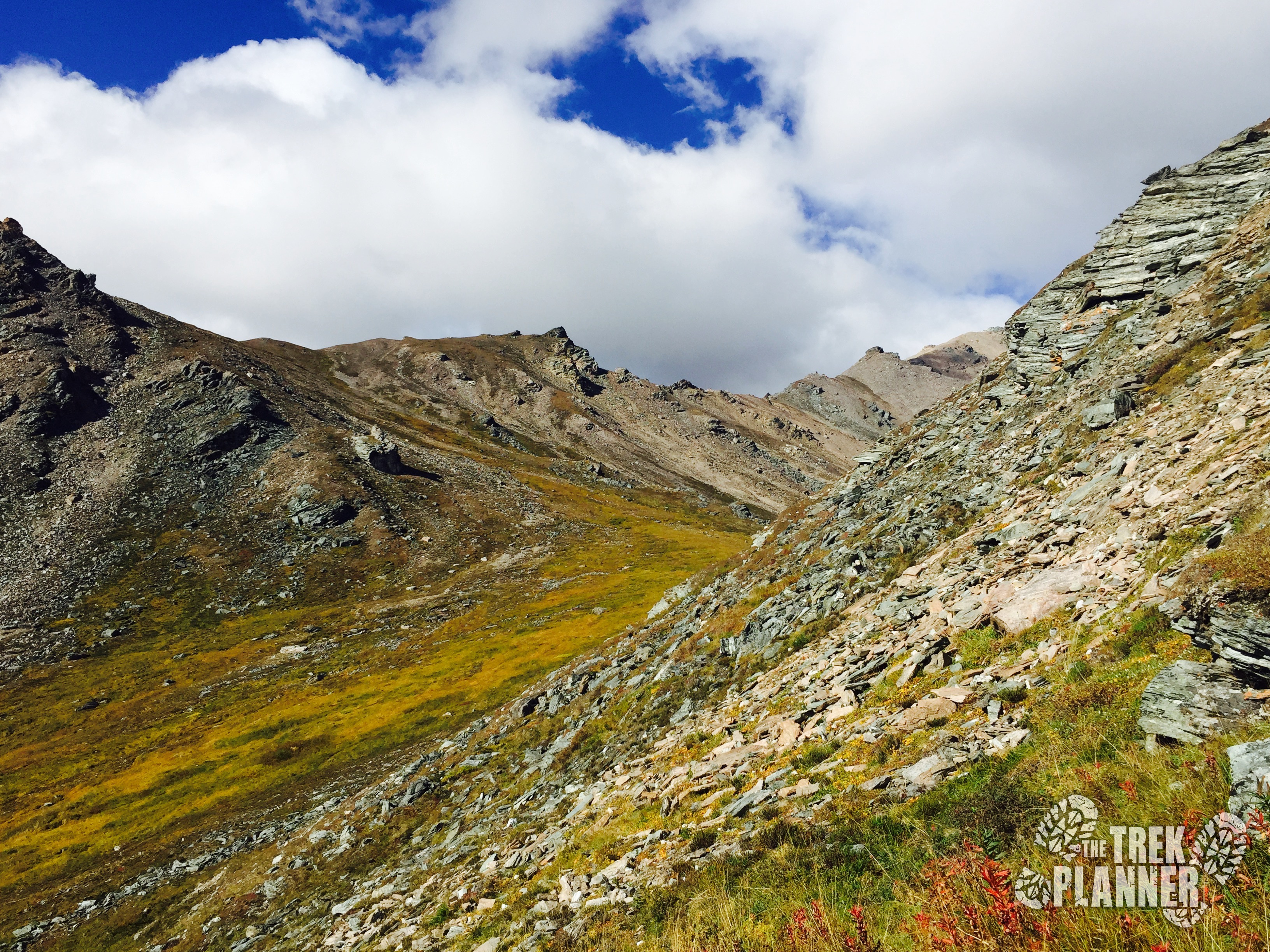
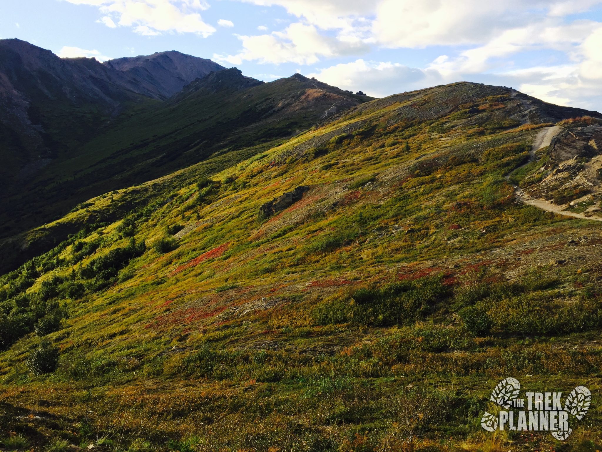
I rested here for a little bit and continued hiking up the side of the mountain on the grassy part until the trail transitioned into rocks and dirt. It is important to remember always that the trail doesn’t exist in certain parts of this trek. You can always just follow my GPS trail or you can be creative. You can see in the picture above that the meadow slopes up on the other side of the mountain. Follow this up.

I took this really cool photo looking back towards Denali Tower before I continued on my way up.

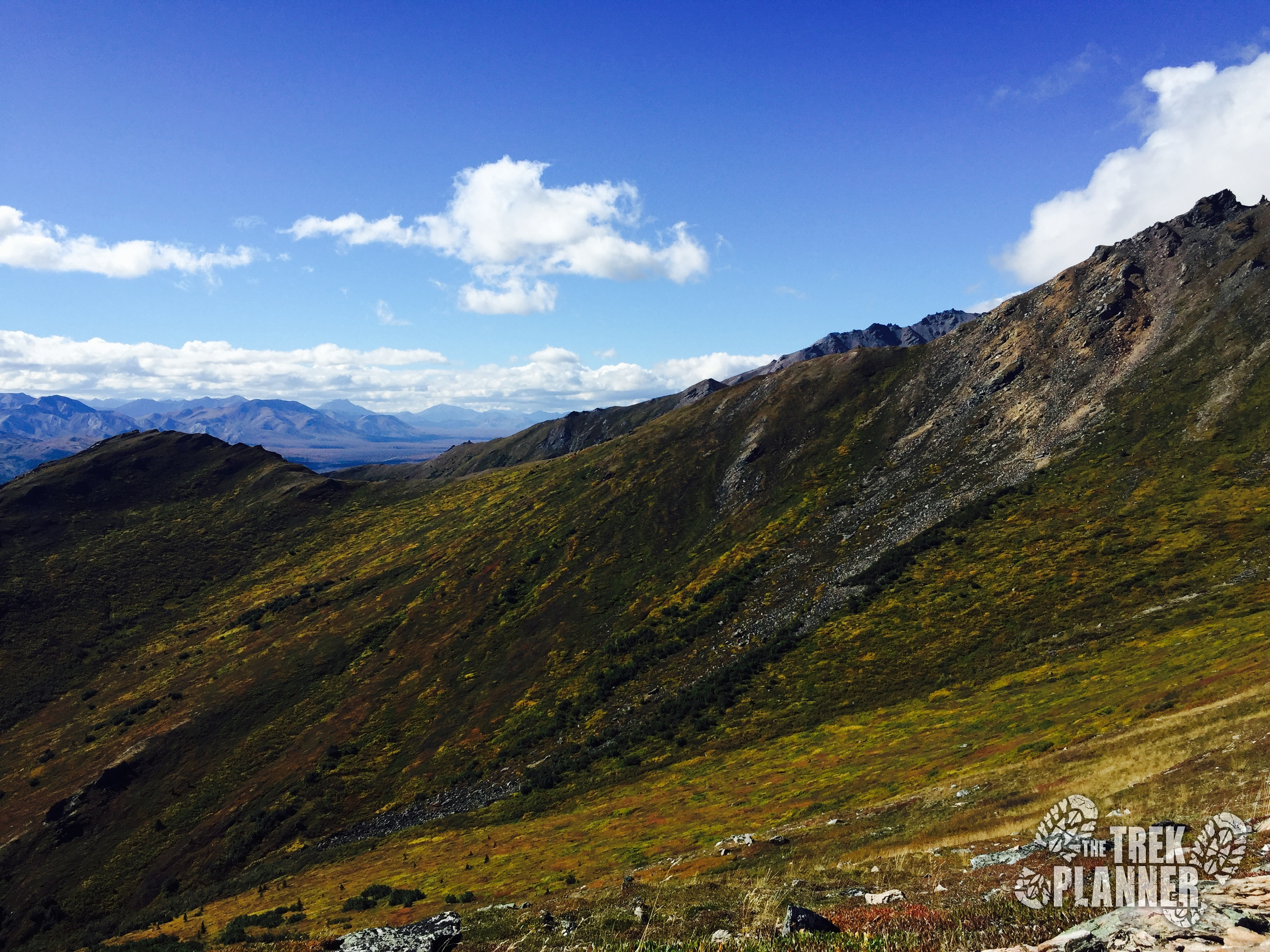
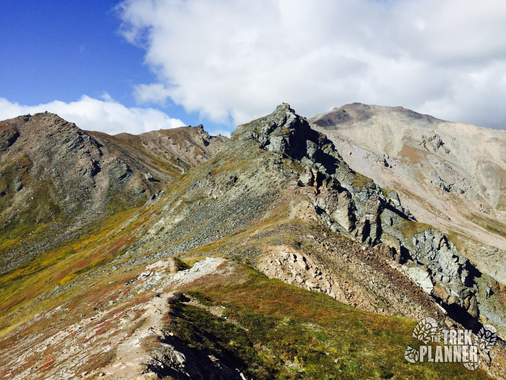
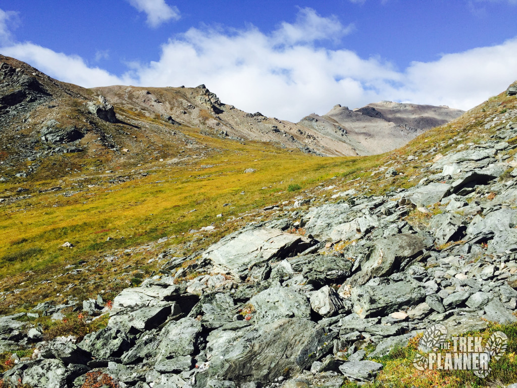
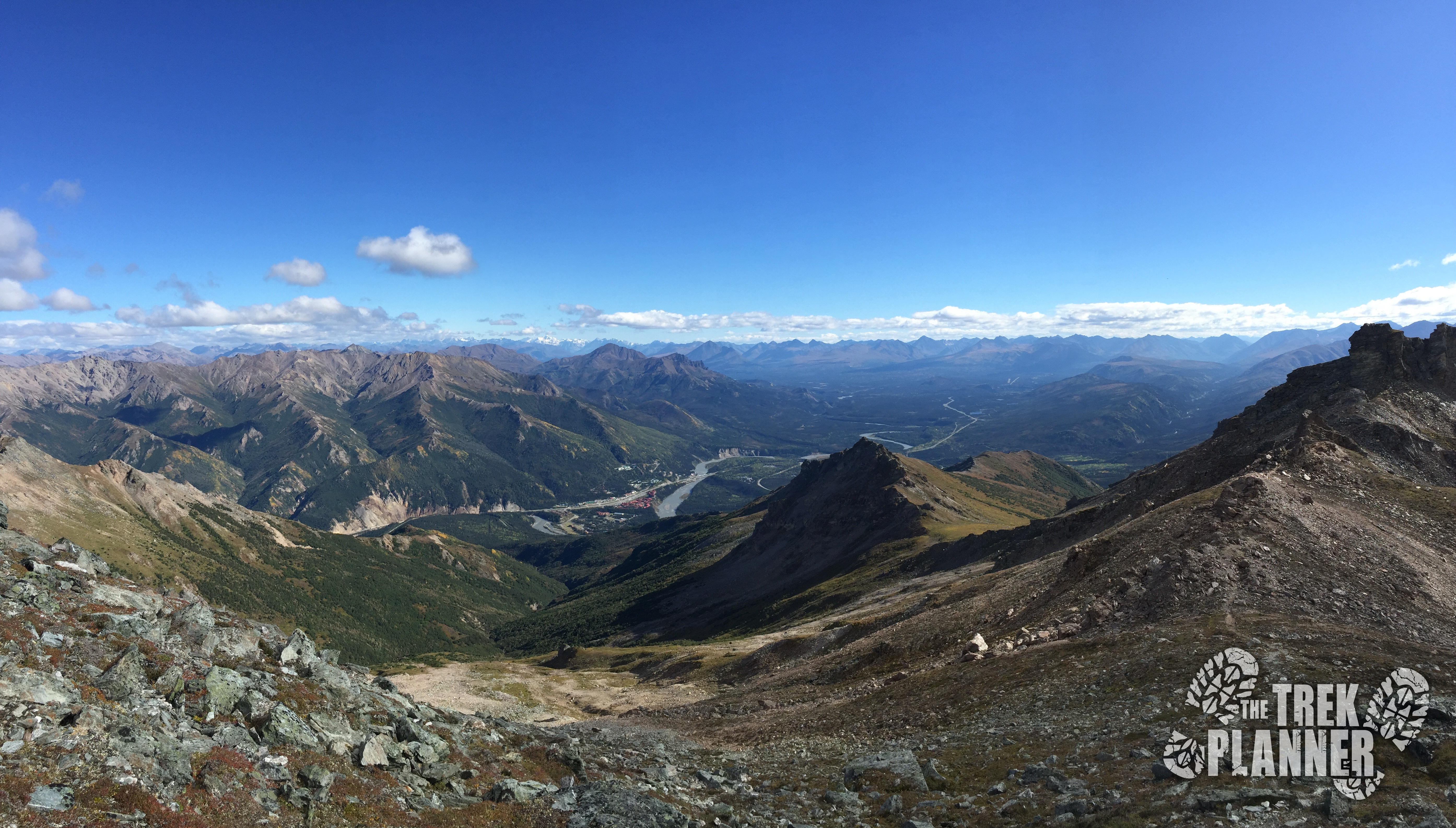
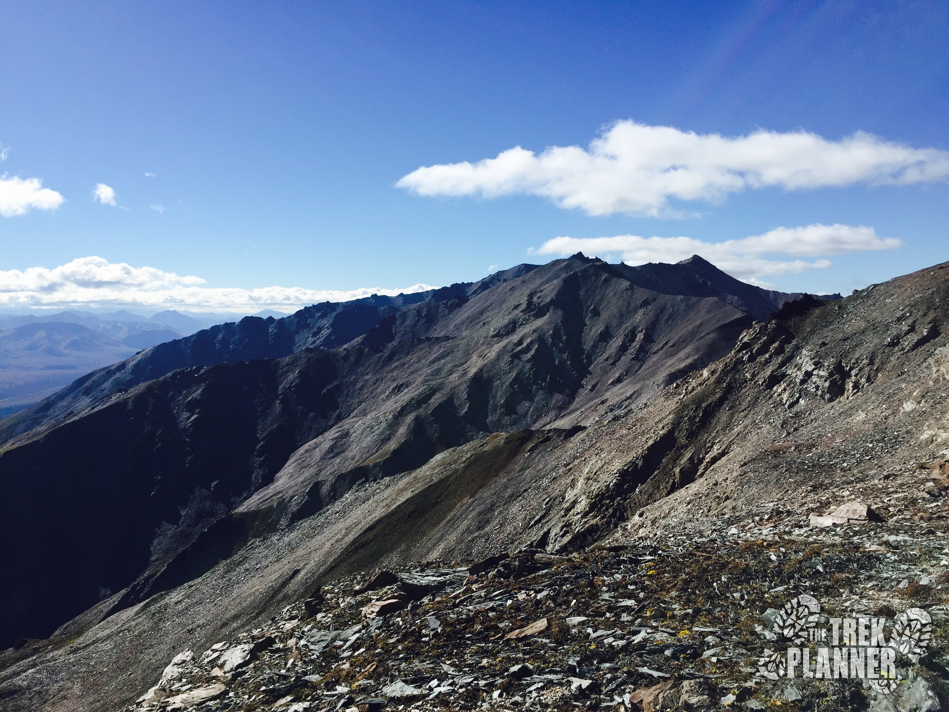
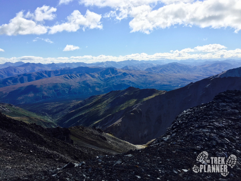
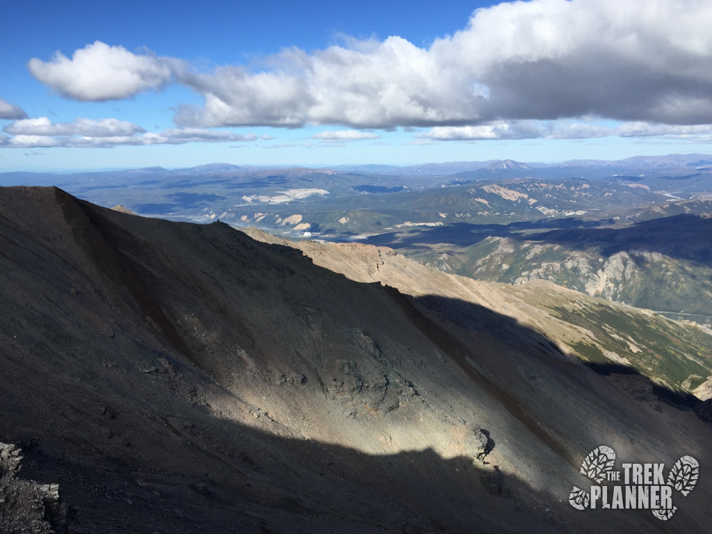
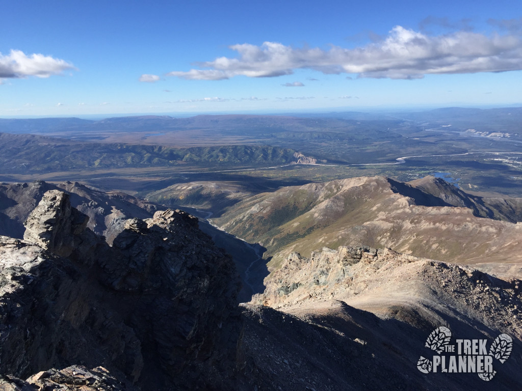
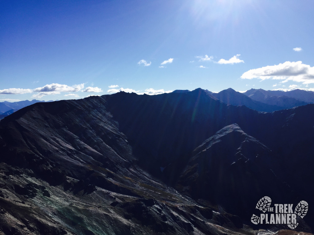
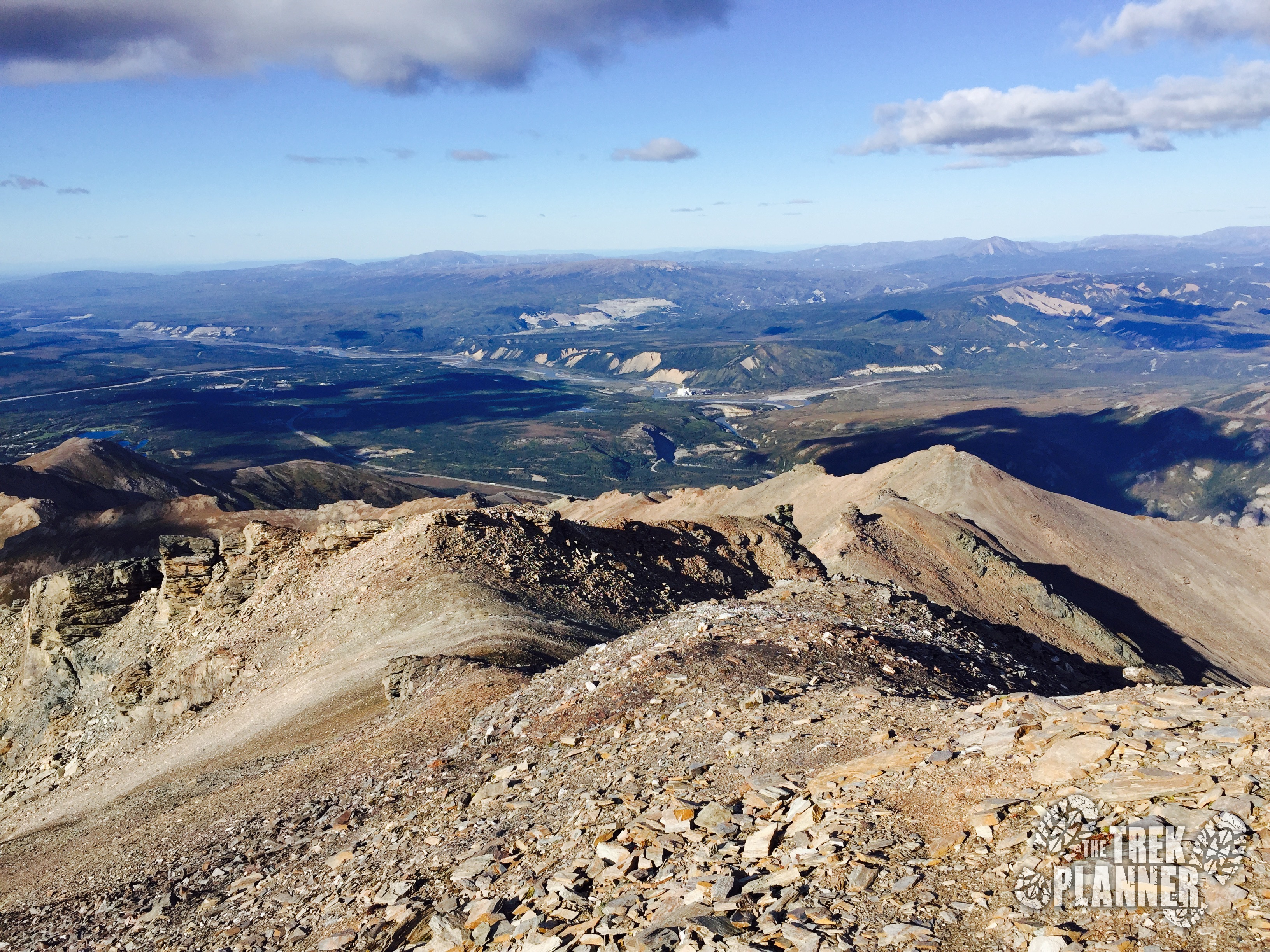
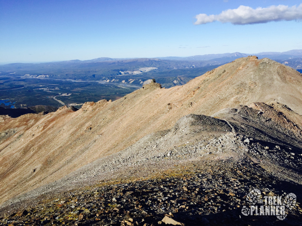
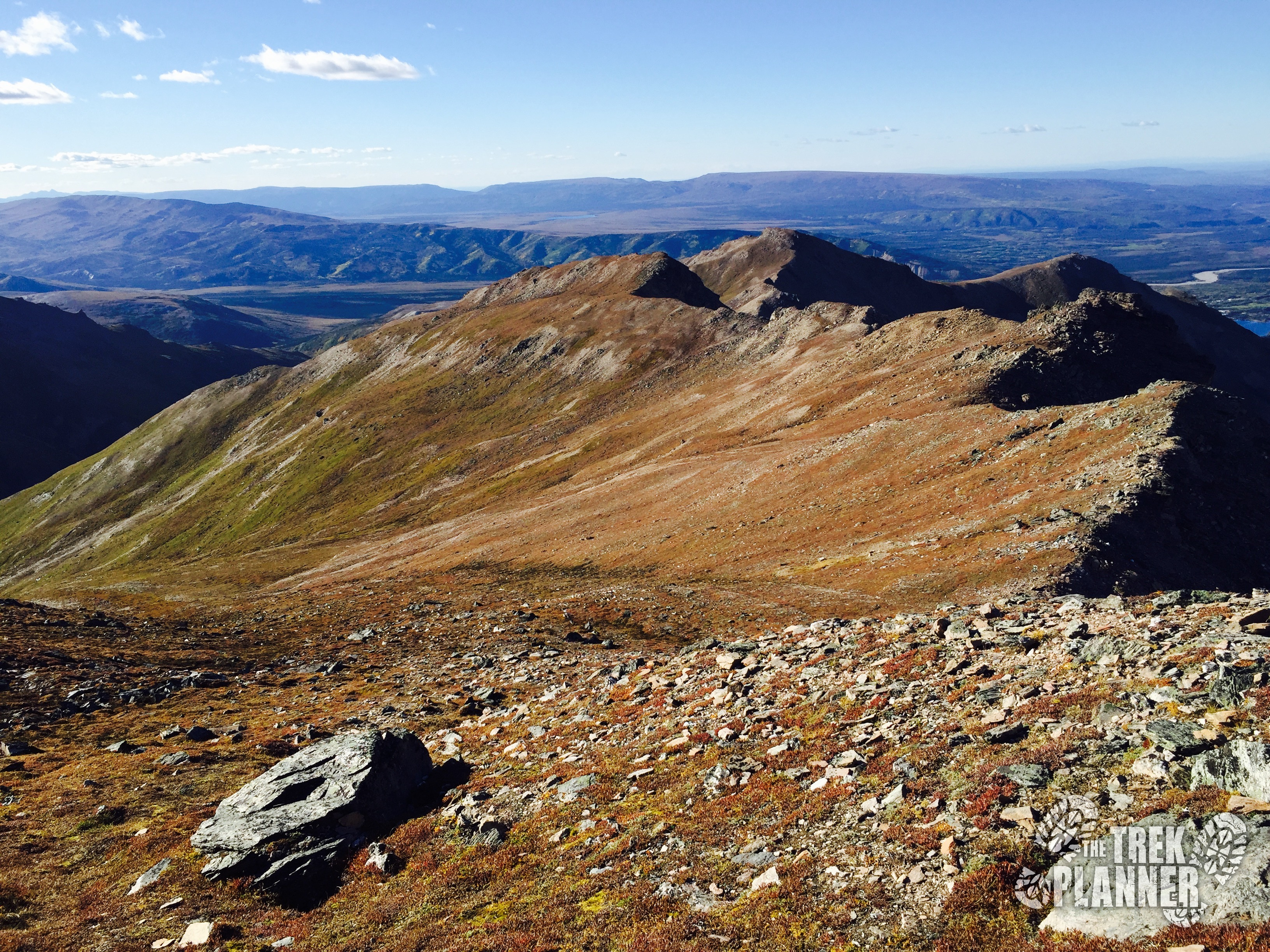
Once at the top, take a look in the next valley over. You can see that it is vastly different than the green grassy one you were just hiking in. It is still really cool though! From this point, I checked my GPS and found that I had hiked about 3.8 miles.
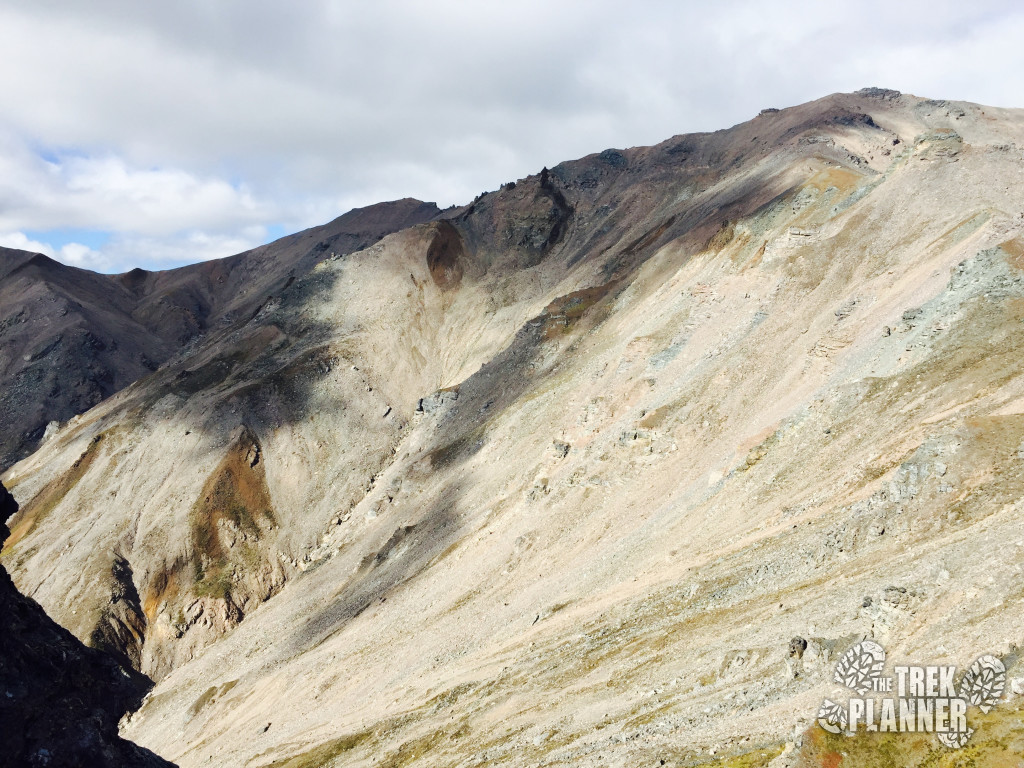
The trail now follows this ridgeline up to the next top point which you can see in the distance to the north. It is more rocky from now on out and you will also be leaving all the blueberry bushes behind for now.
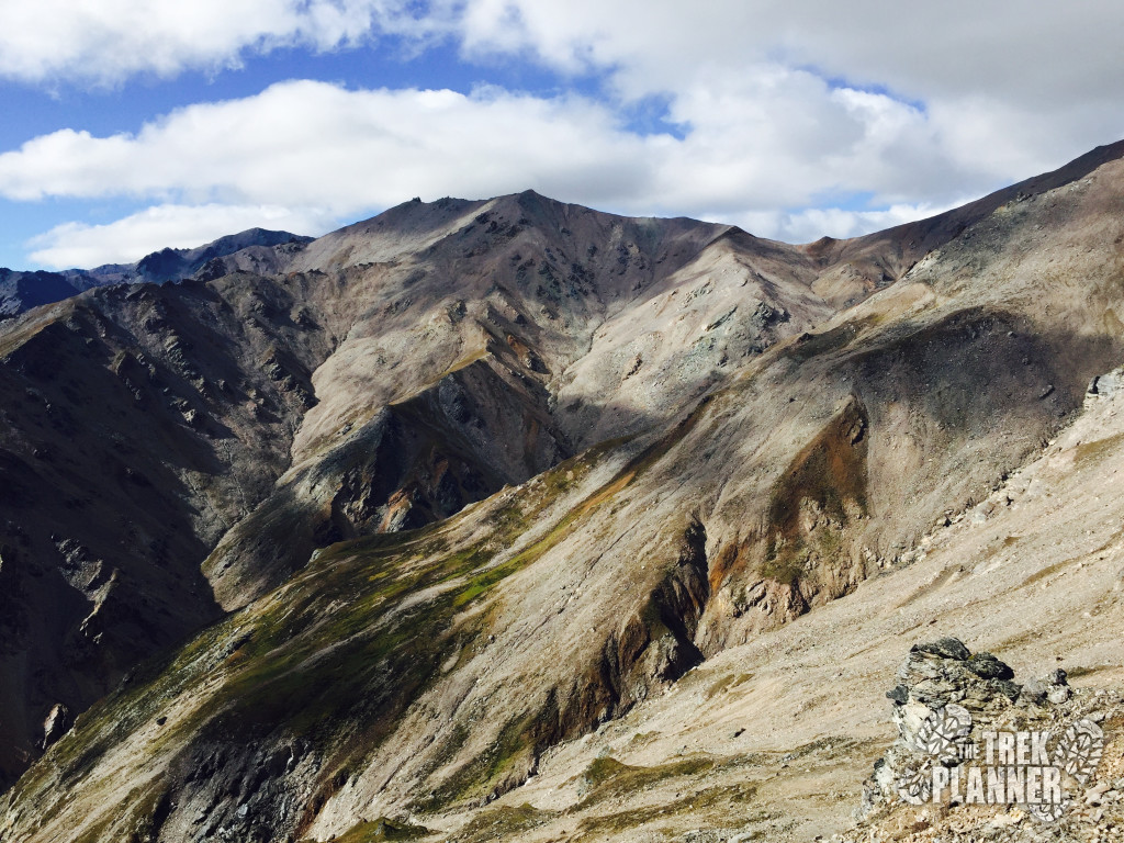
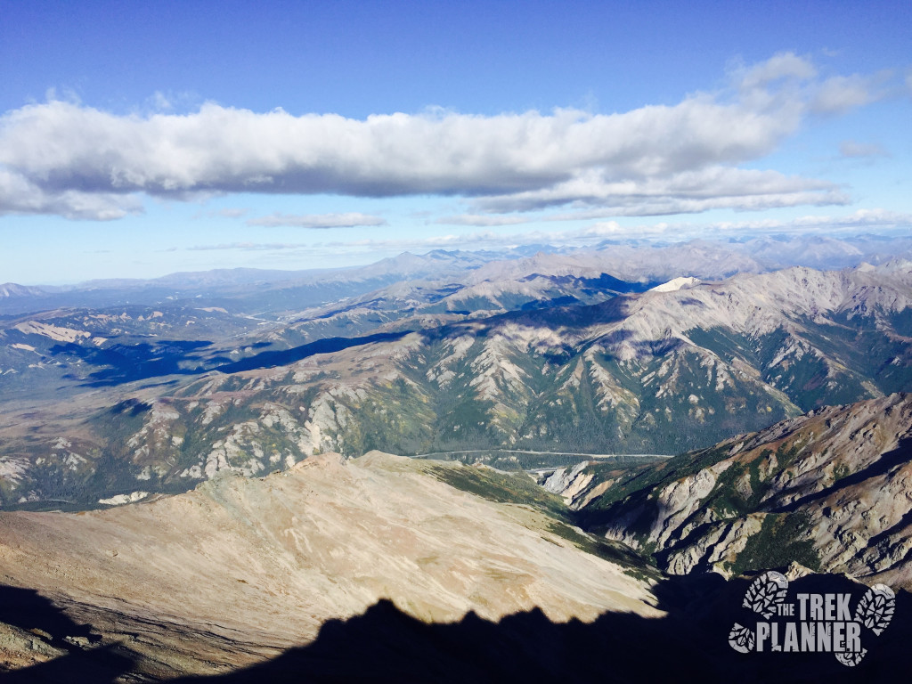
I got some really great photos of the surrounding area. It really was the perfect day for hiking!
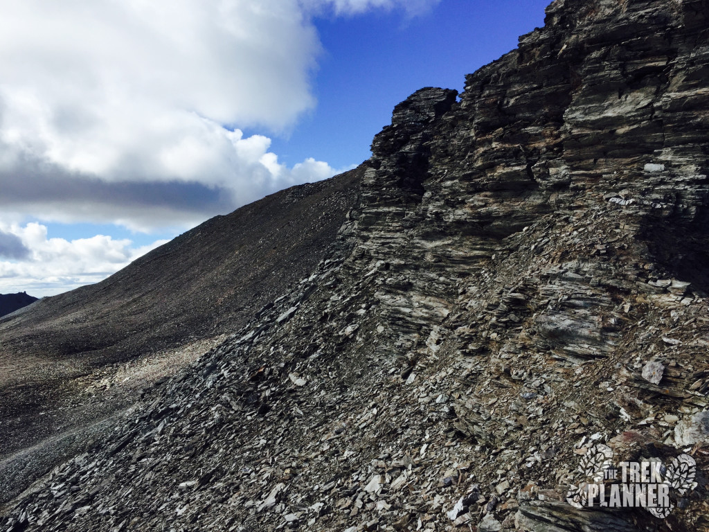
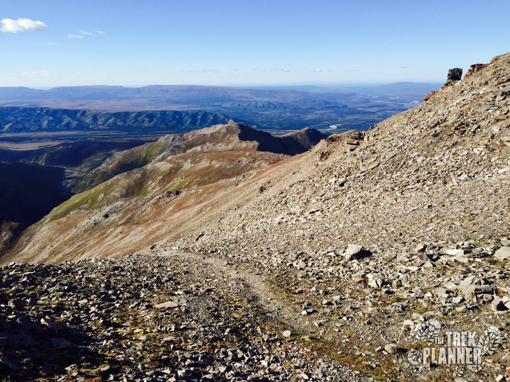
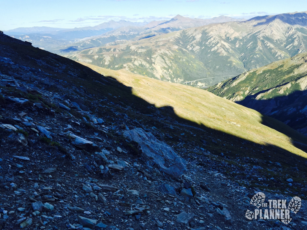
You can see that you got a lot of rocky climbing to go still. It was here that it got really windy again and the trail was a little hard to see in parts but overall I just kept following the ridgeline (you are probably tired of me saying that but it really is just that simple).
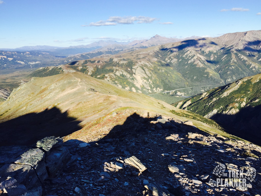
The picture below is looking back down what I just came up.
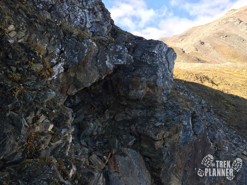
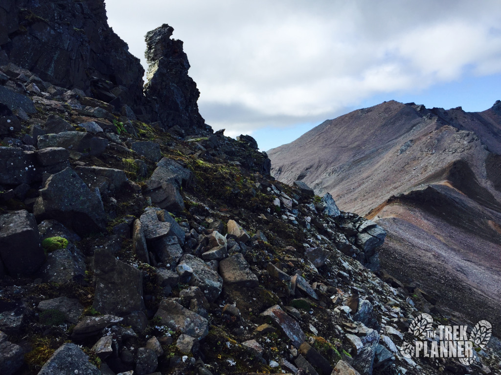
When I hiked this last year in 2015, I remember finding a small cave around this part. I couldn’t remember exactly where it was located but I was glad to find it right next to the trail on a larger outcropping of rock.
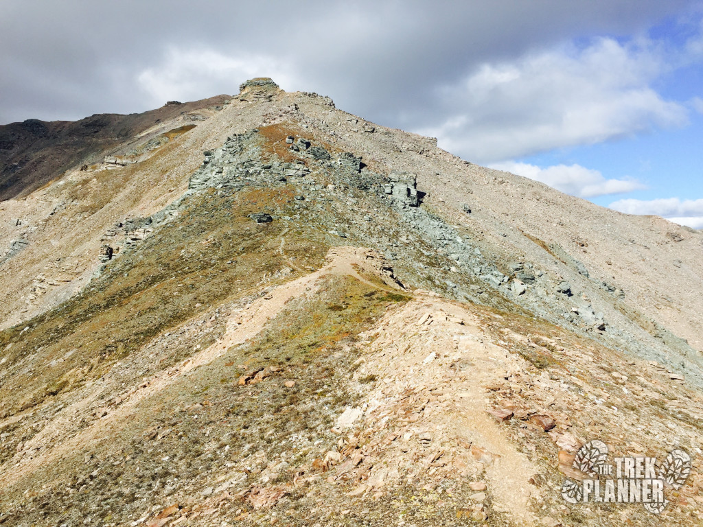
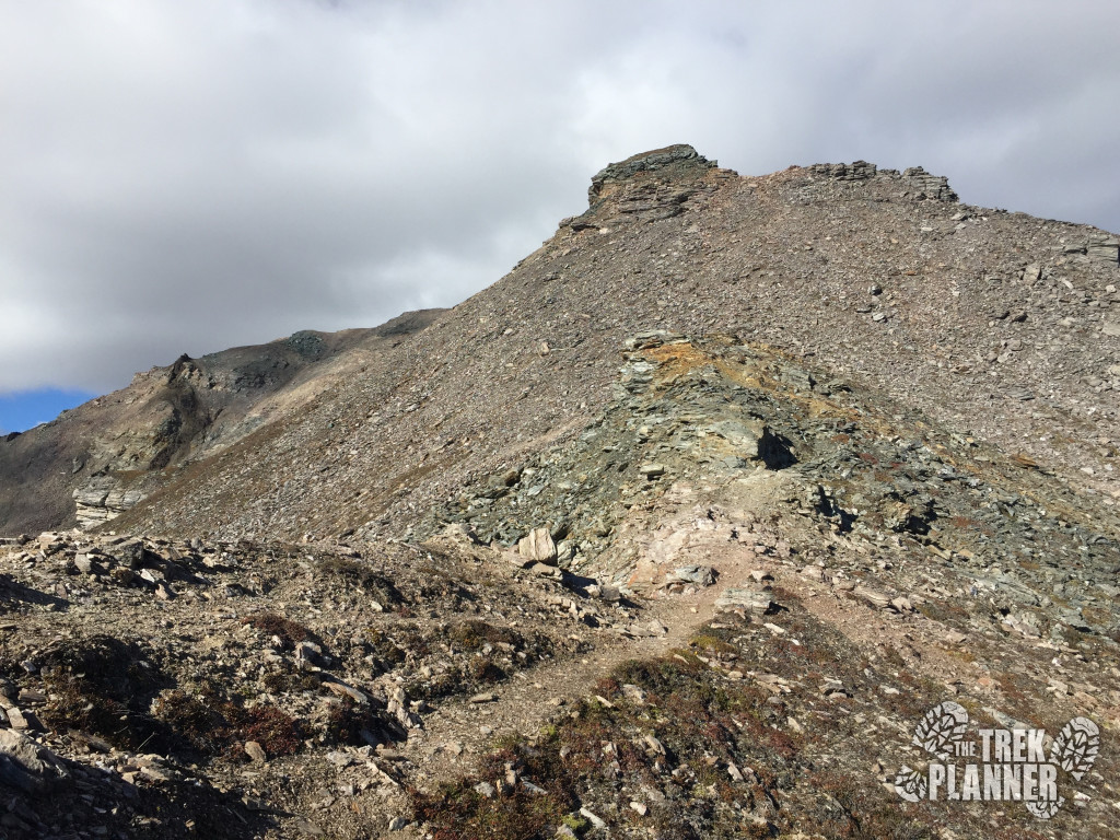
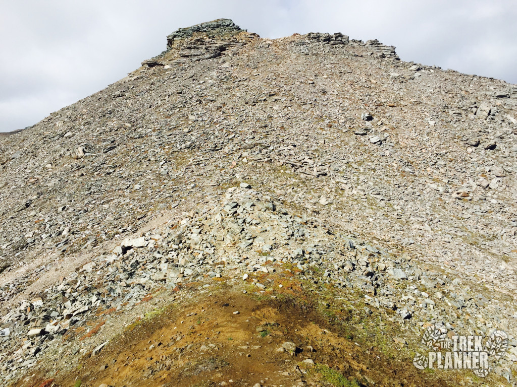
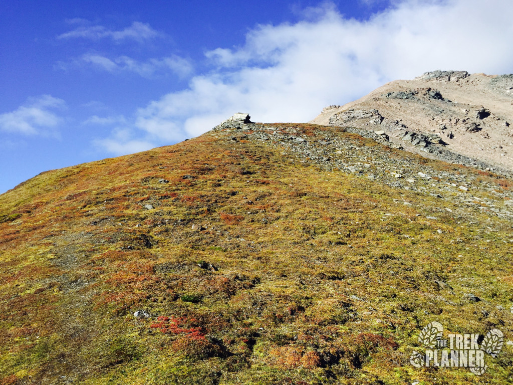
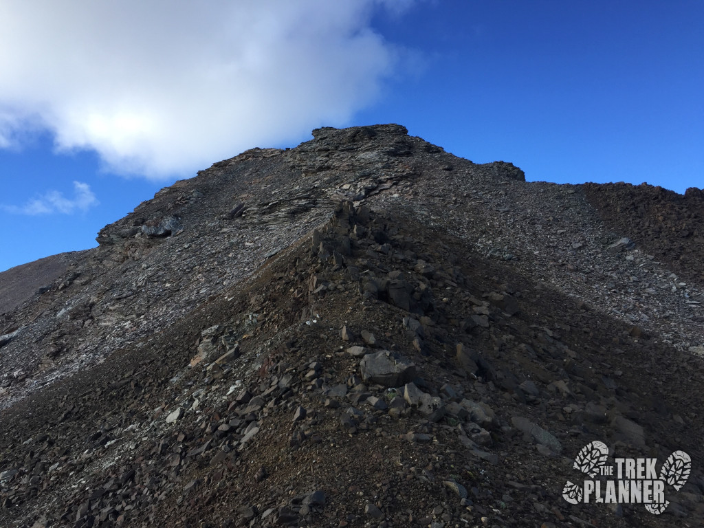
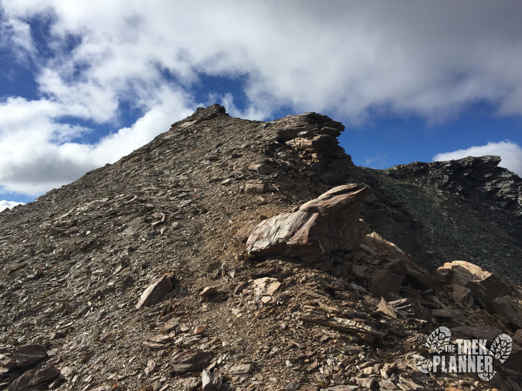
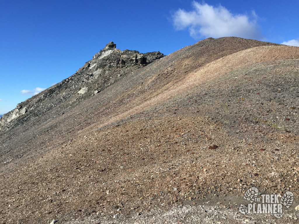
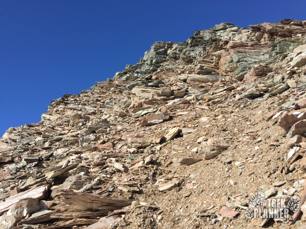
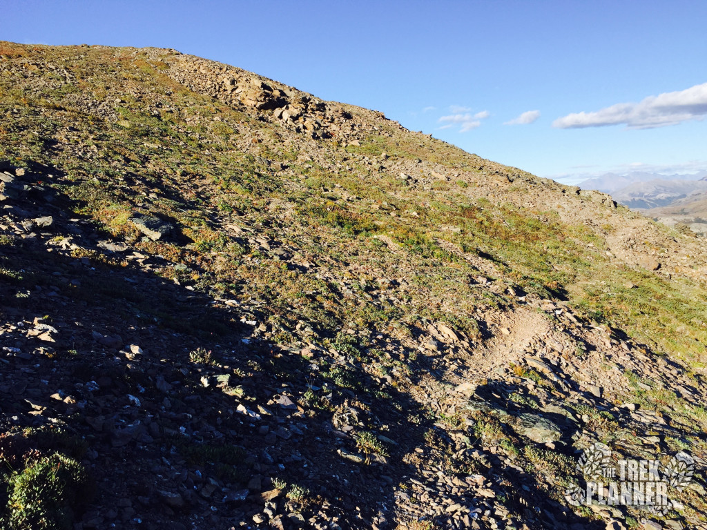
Keep going up! You can see in the picture below that there isn’t any trail to follow. Don’t try and find any shortcuts either because there aren’t any on this hike. Like I’ve said a few times before, just try and follow the ridgeline up to the next point!
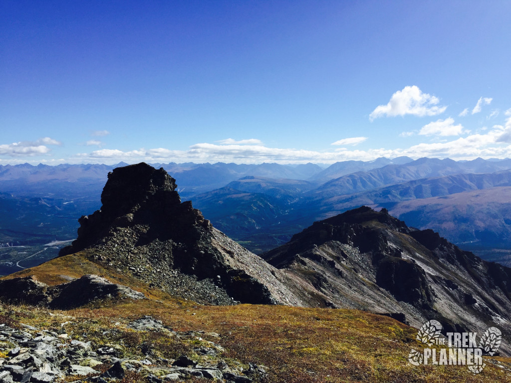
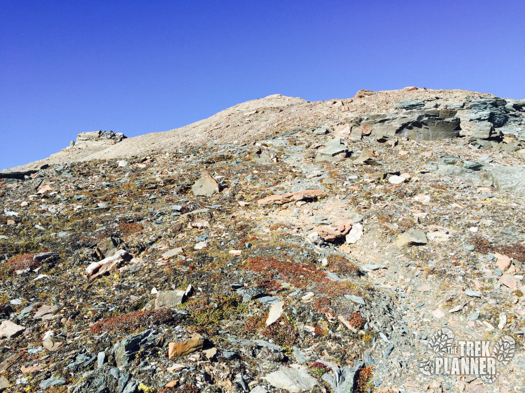
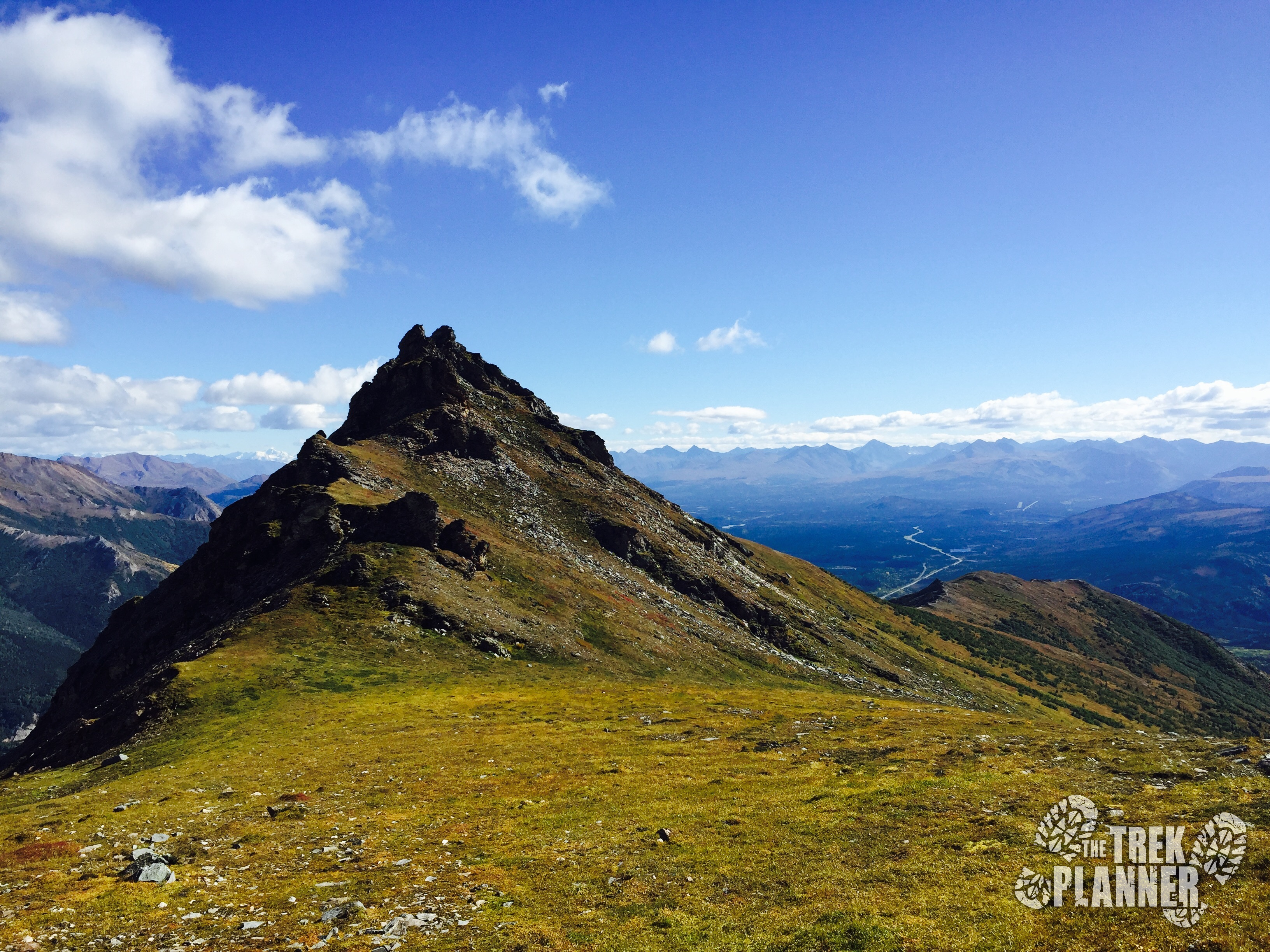
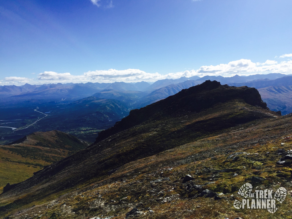
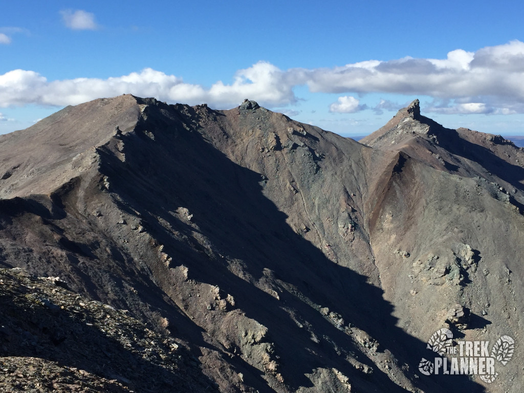
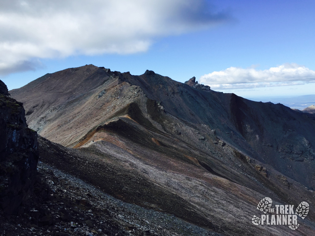
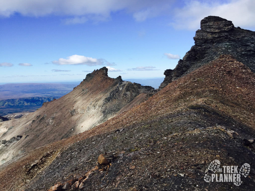
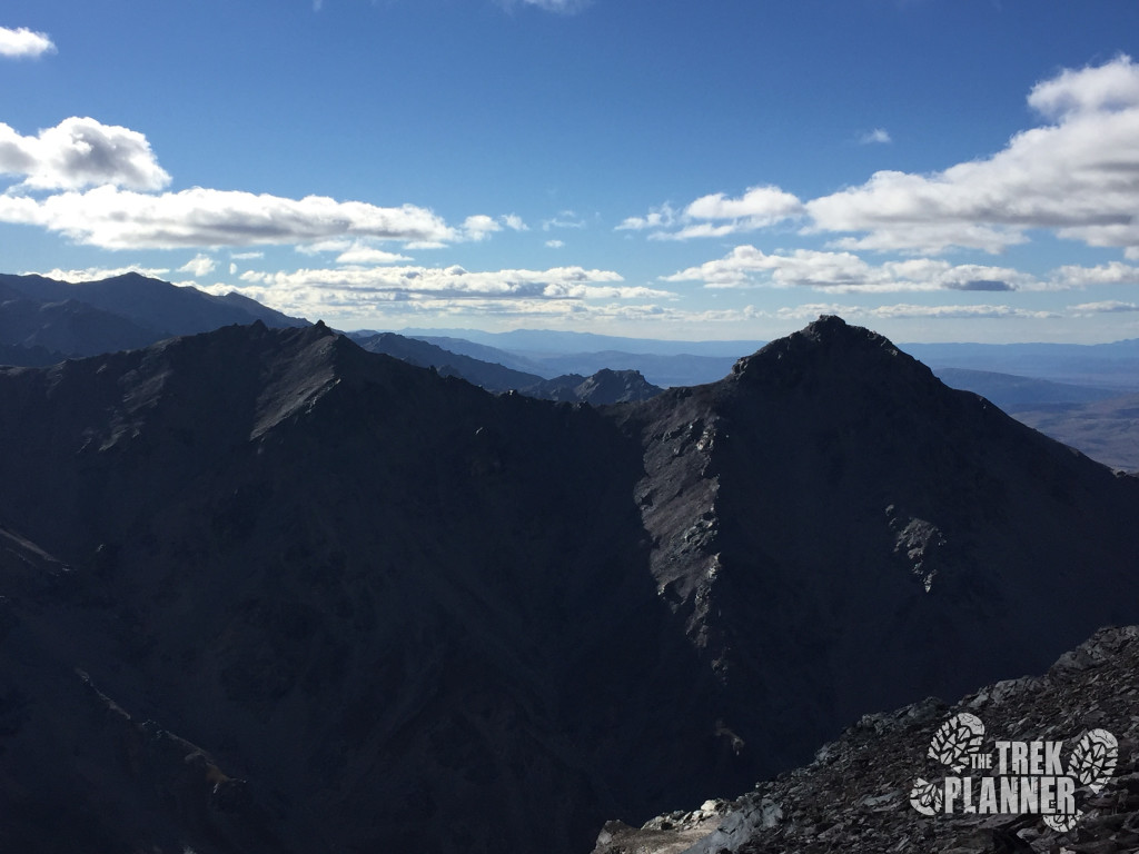
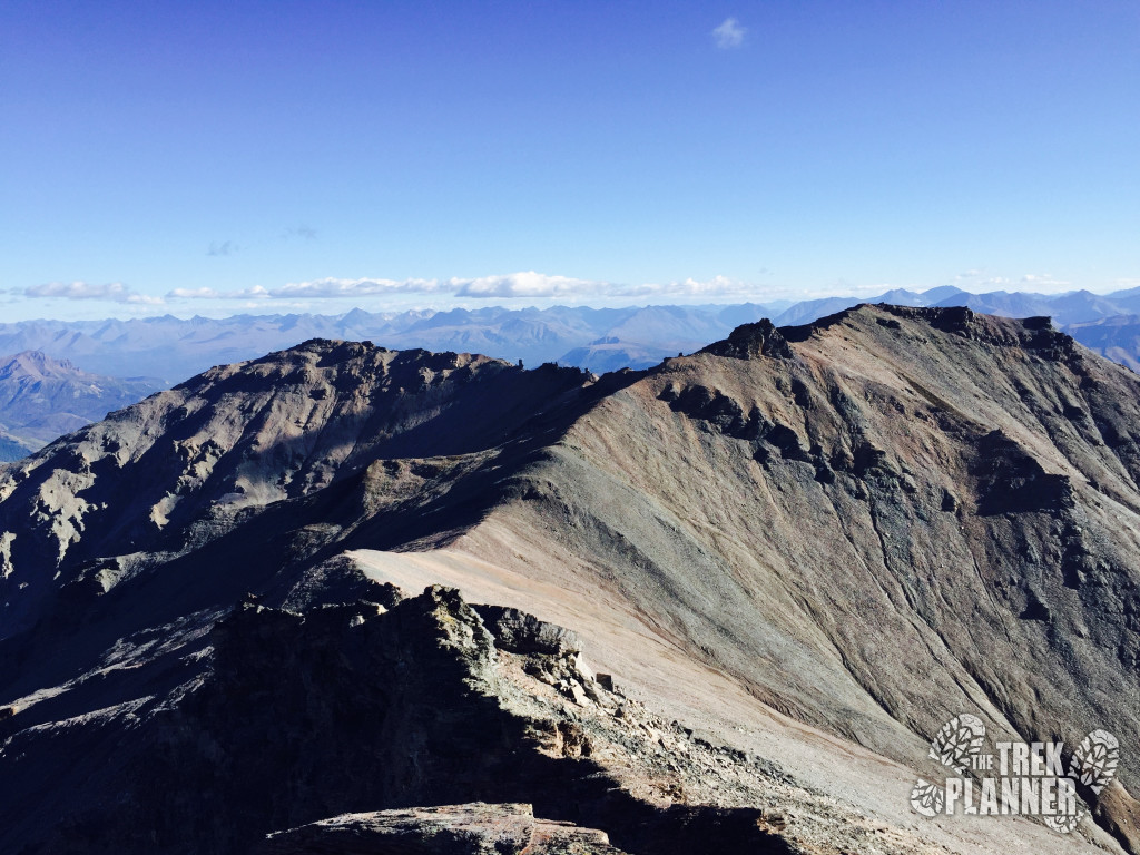
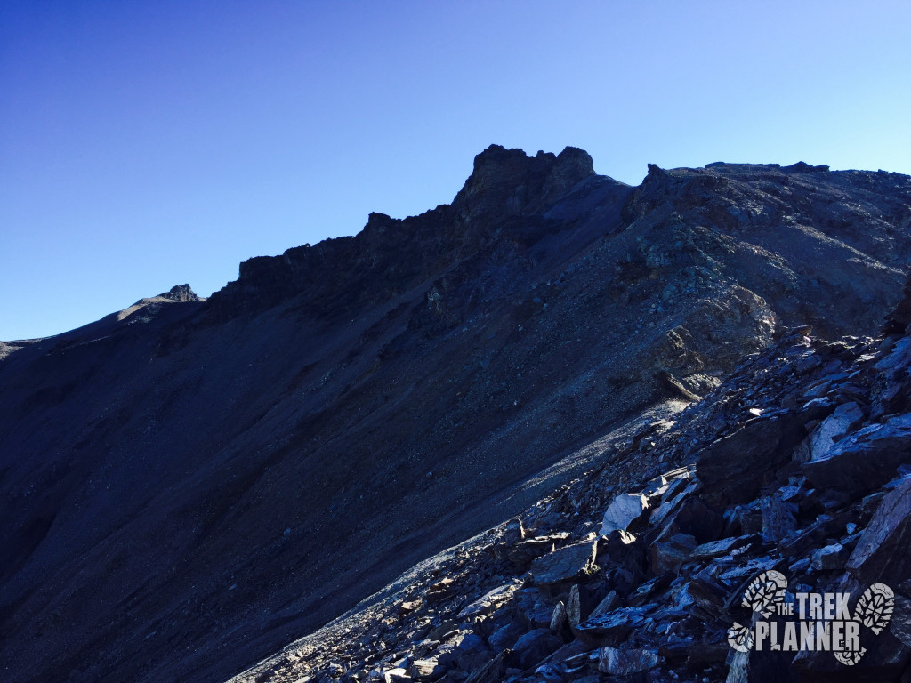
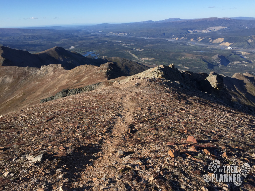
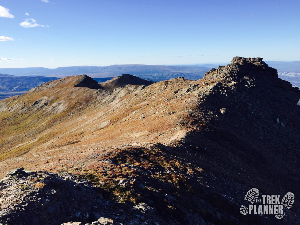
Finally you will arrive at one of the highest points on this trek! But, you are still about 1.5 miles to go until you are at the actual summit of Mt. Healy.
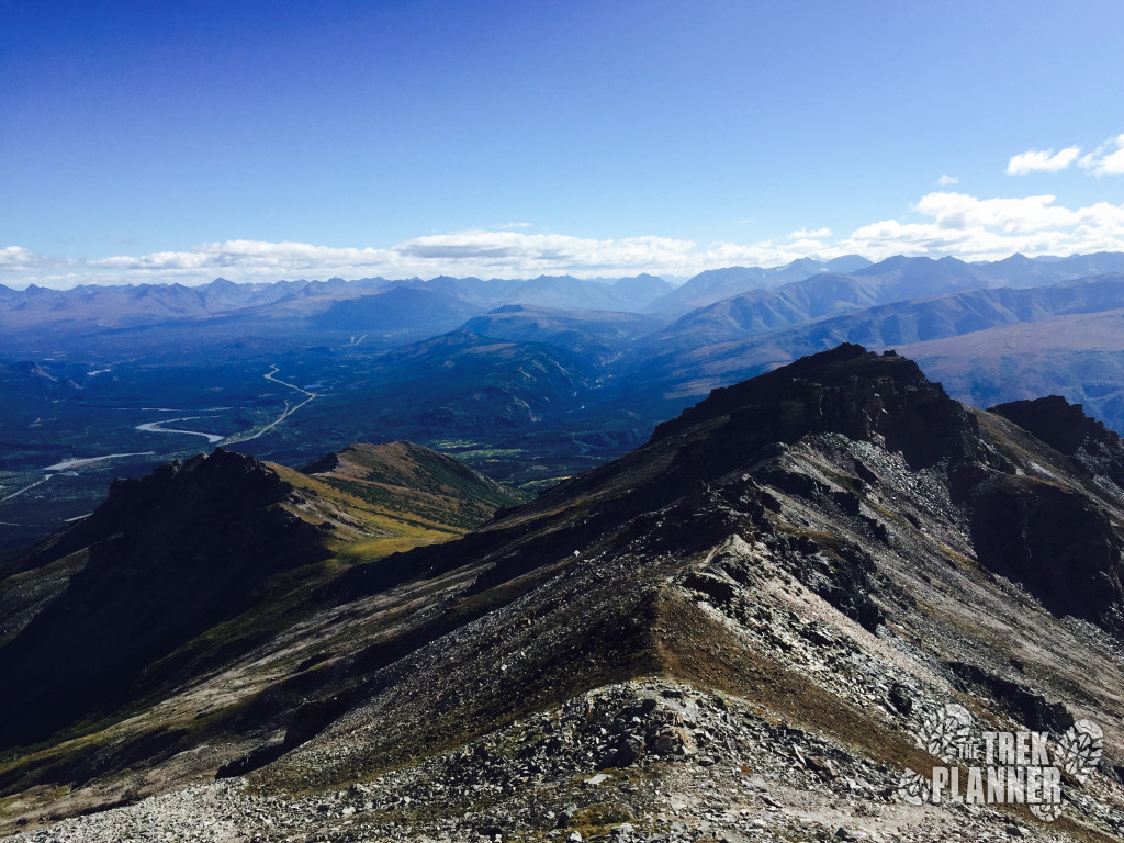
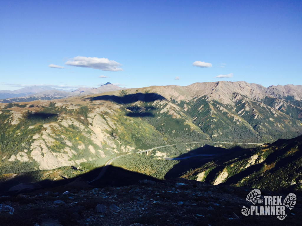
From here you will need to follow the ridge to the west until you join up with the next ridgelines. You can see Mt. Healy in the distance – it is the peak with the abrupt edge.
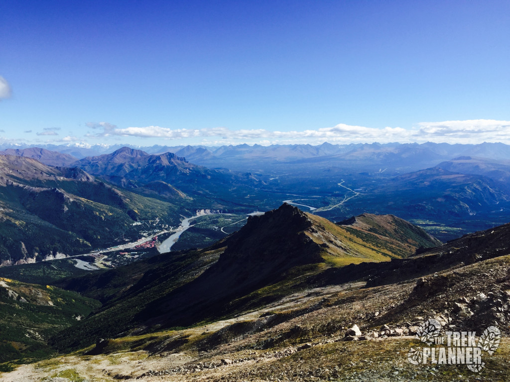
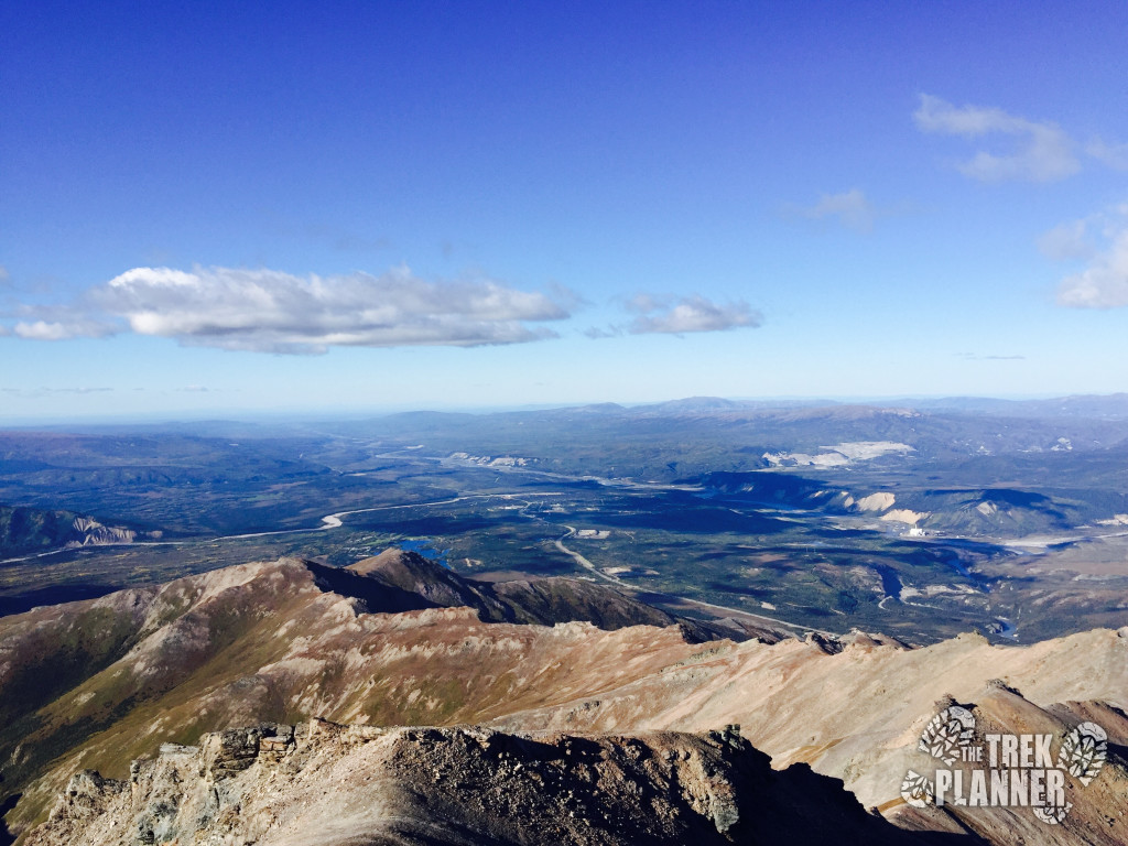
I took one last look down at the Denali area and continued on.

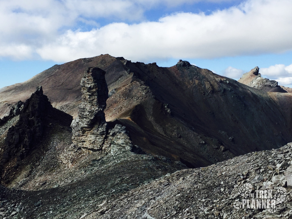
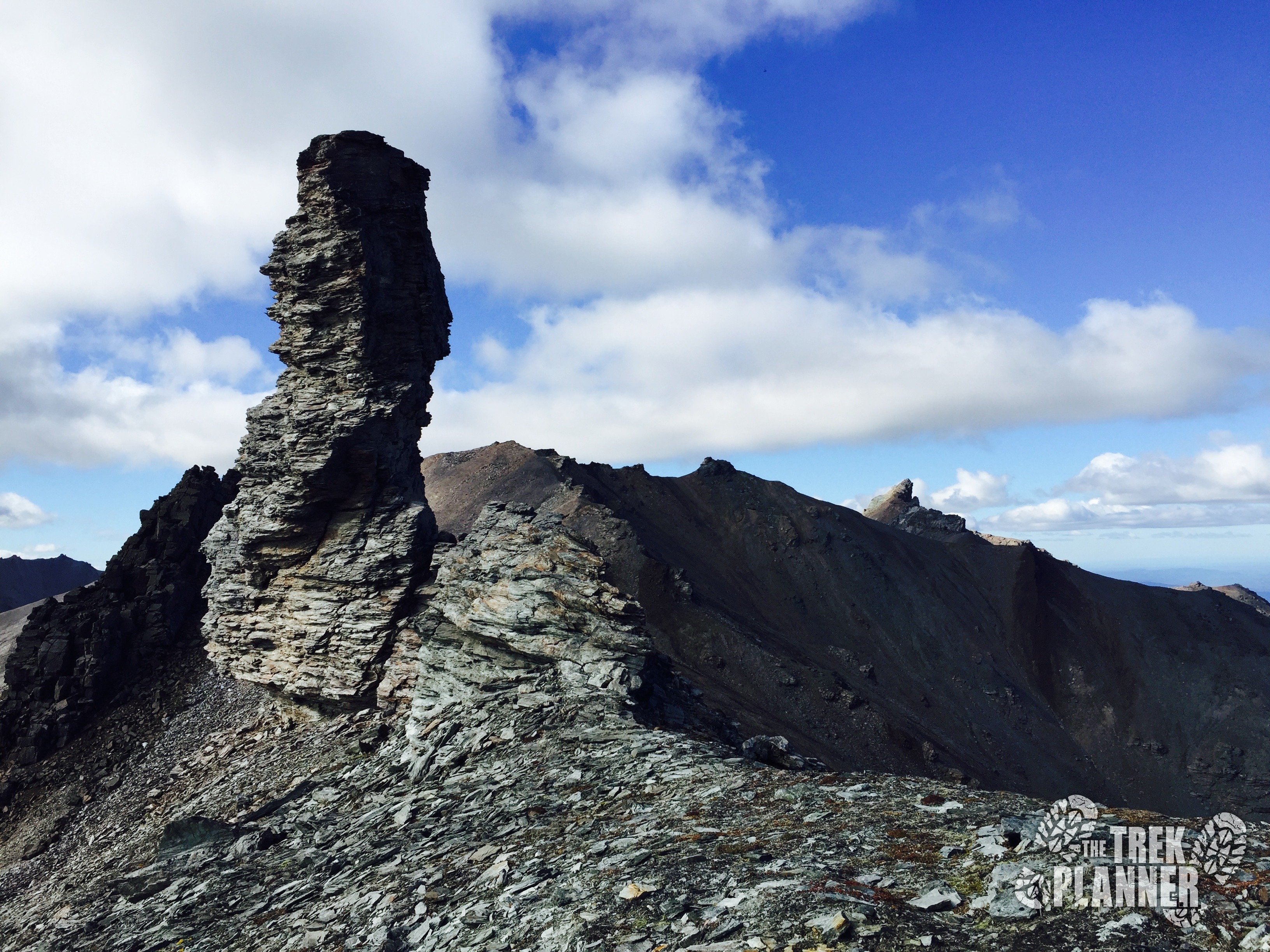
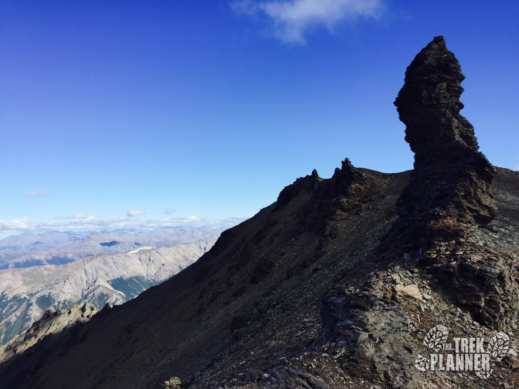
The ridgeline for the first part is relatively flat. You will see some cool stuff along the way such as the monolith which I dubbed, well, The Monolith! It is a 60+ foot tower and makes for an easy-to-recognize landmark.
From here stay on the north side of the ridge but not going too far down in elevation. This area is what I call the Chocolate Ridge because of the chocolate colored rocks. This area wasn’t too steep but if you look to the north you can see that it slopes down a thousand feet so if it is windy and you lose a hat it will go all the way down!
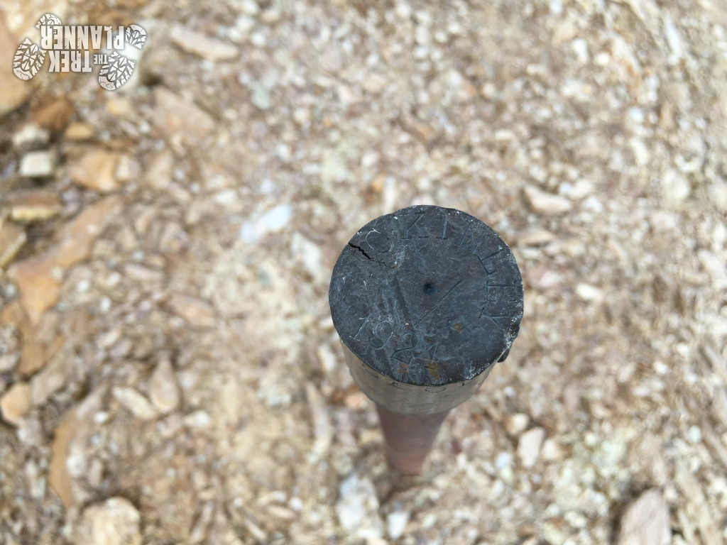
Keep hiking the ridge until you come to two National Park markers. They are just two iron bars that were hammered into the ground.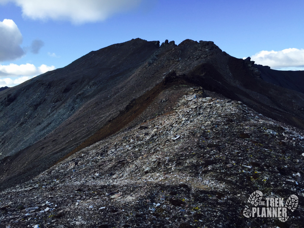
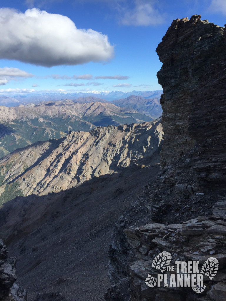
Mt. Healy, sometimes called The Castle or Castle Rock, is the steep rocky peak in the distance. It looks like jaws are opening up!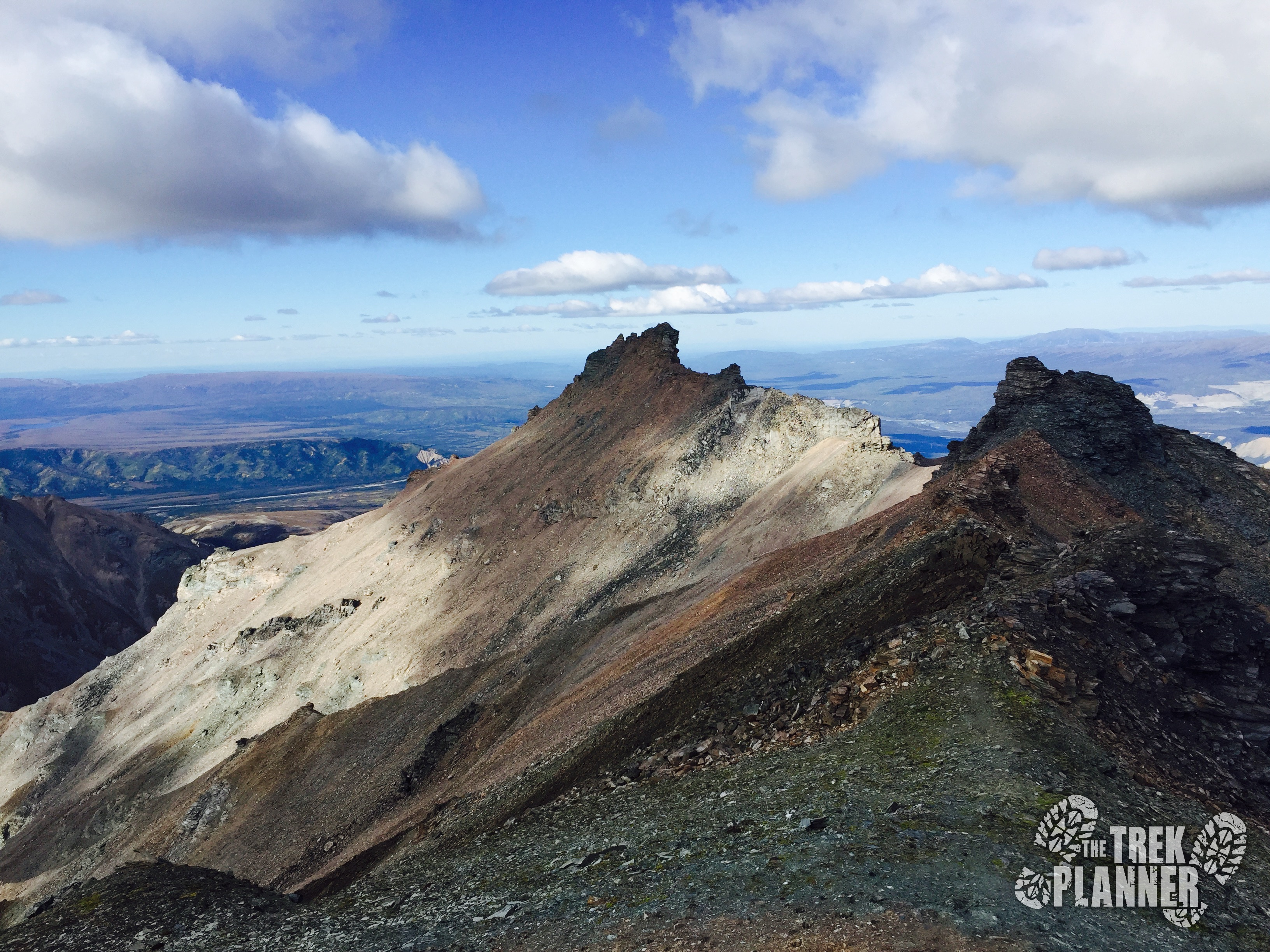
From this point it is about another 1/2 mile until you come to the summit. The trail is even harder to see but it isn’t too bad as long as you just hike towards the top.
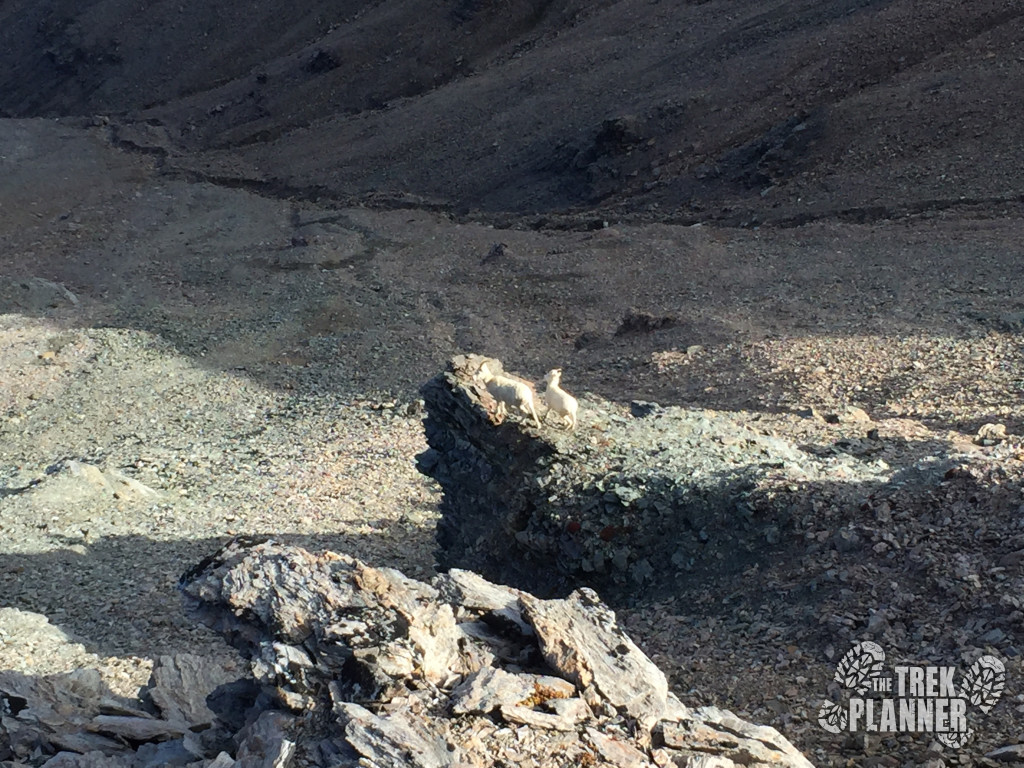
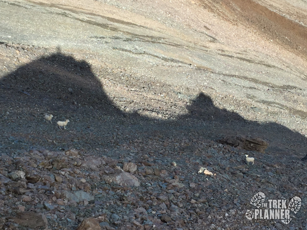
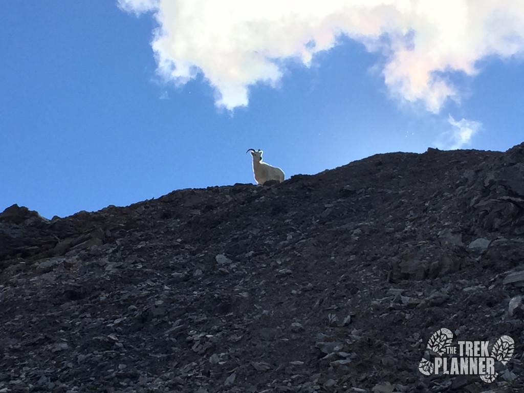
I found some Dall sheep around this area too.
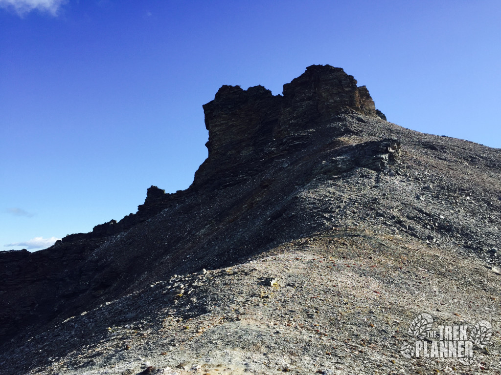
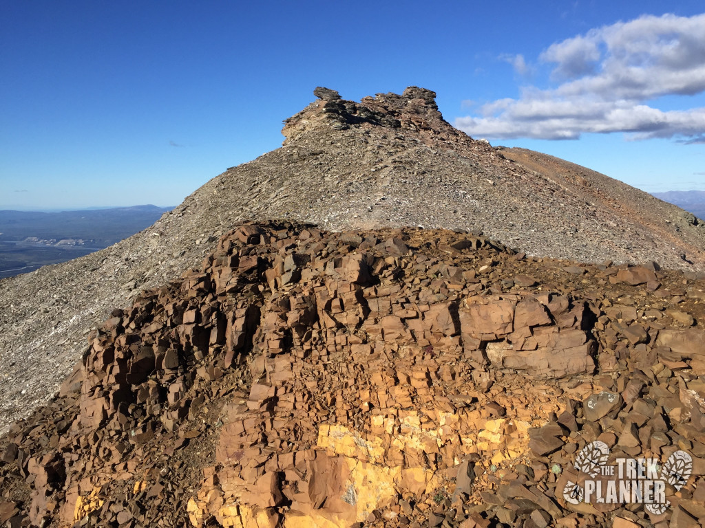
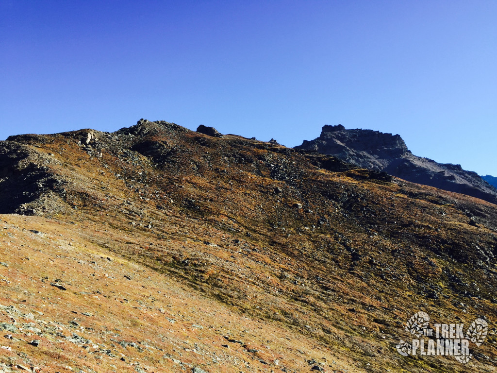
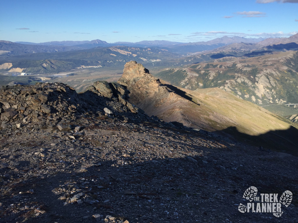
The summit isn’t too far from here. But there is a tricky spot that messed me up last time I was here.
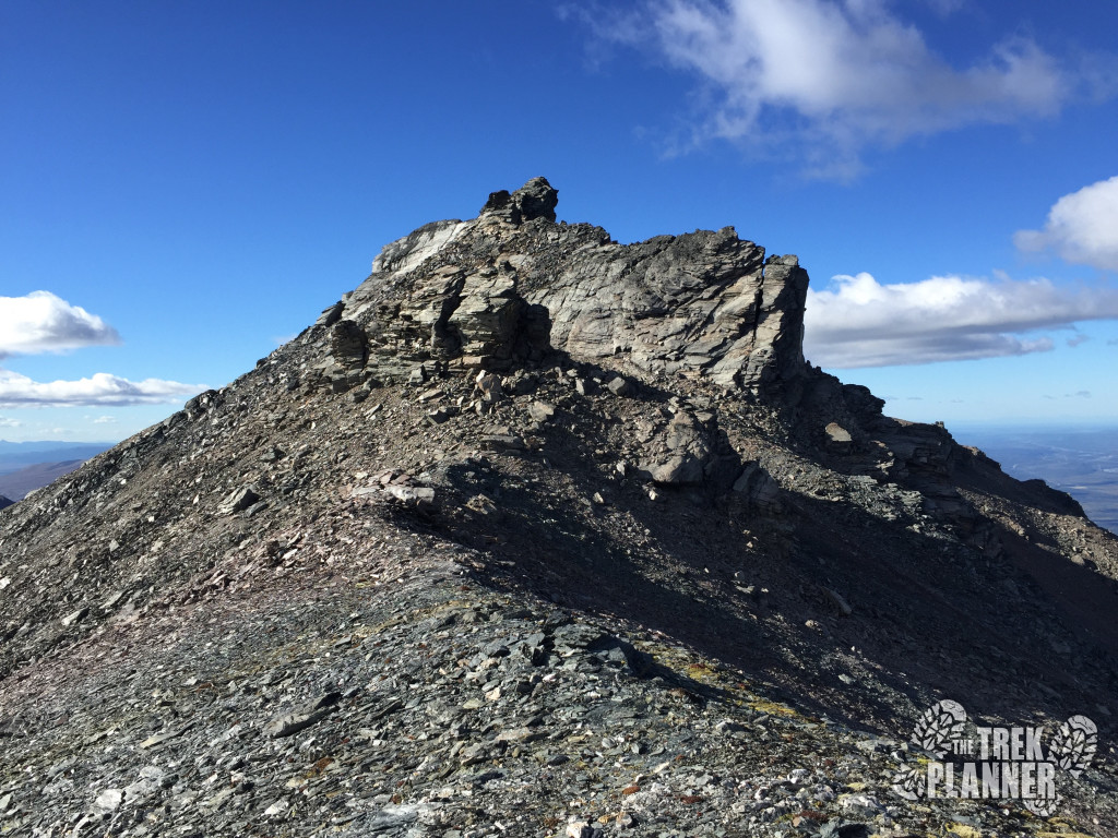
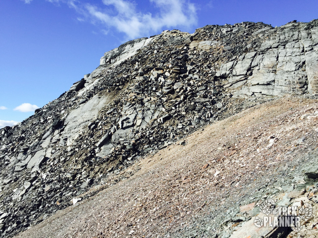
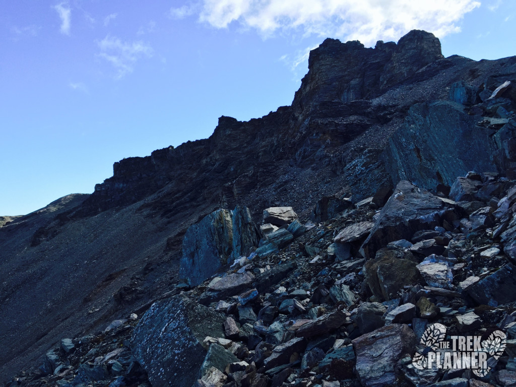
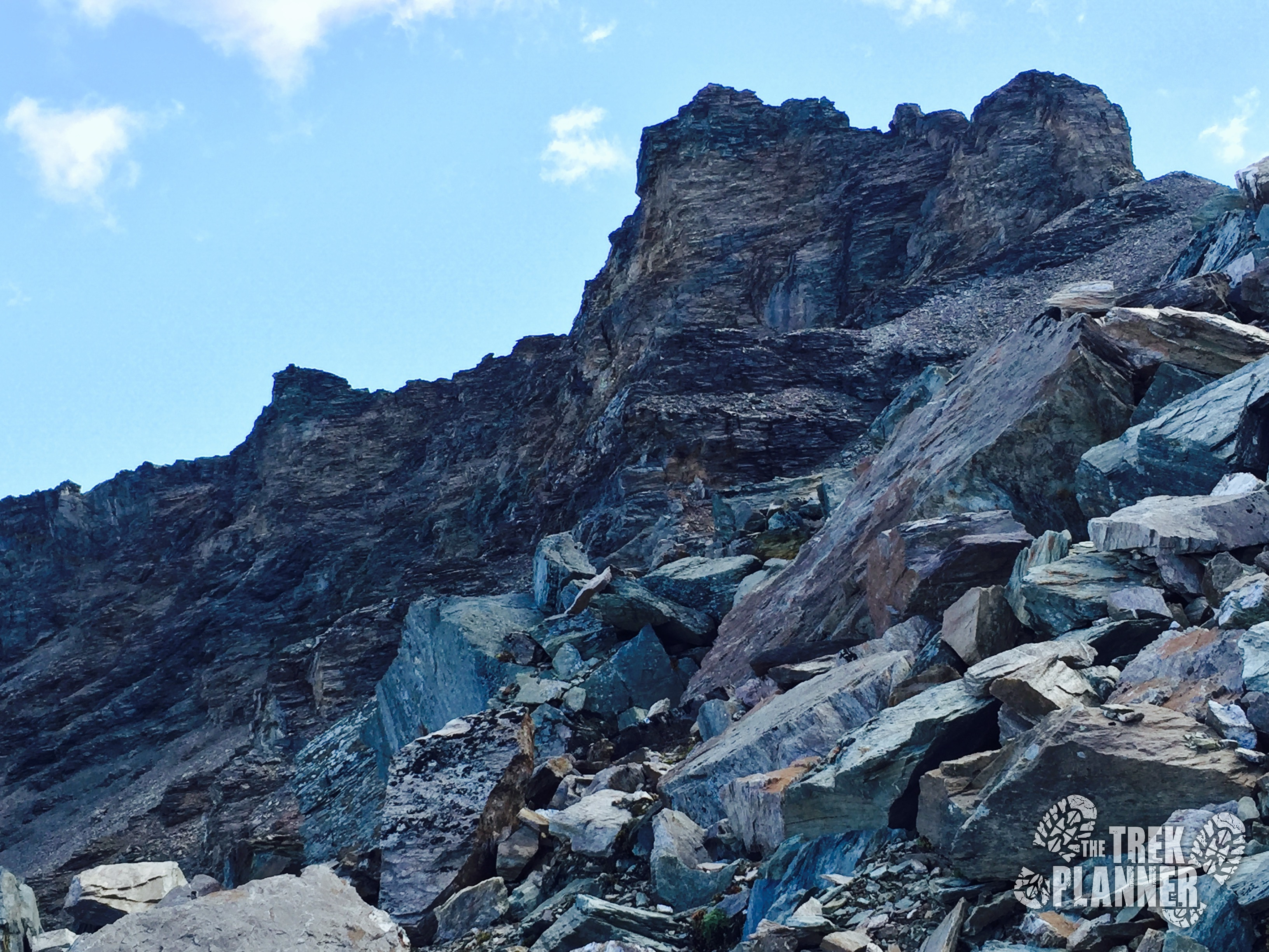
Once you come to the spot that you can see in the picture above do NOT climb to the top of this. This may appear to be the summit but it is actually hidden behind this outcropping. I hiked to the left of this slowly gaining in elevation and then I came to the top of the Castle.
There were some large unstable rocks during this part which I accidentally knocked loose. Try not to rush here.
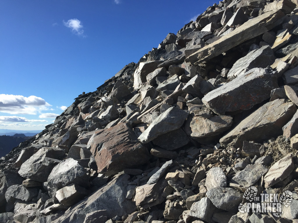
Now it is time to hike the last steep portion to the summit!
Once at the top you need to be very careful! The eastern side is a 400 ft sheer drop so make sure you and others you are with stay away from this edge.
The views are simply incredible! I really had the perfect day for hiking!
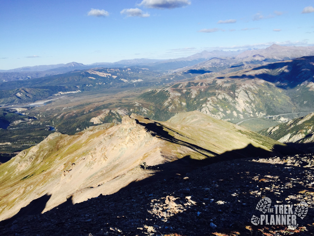
When I had rested long enough and took in the amazing views I carefully hiked off the Castle just to the base of it and hiked north to begin my decent to Bison Gulch.
I had to stop a few times along the way to get some good shots of Mt. Healy again.
By now after hiking nearly 6 miles, my knees and thighs were killing from all the steep climbing. I still have about 3.7 miles until I reach the parking lot at Bison Gulch so I slowed my pace down even more.
The trail here also comes and goes so you may have to be vigilant to find the best route. I didn’t think the trail was too hard to see in most of the places going down but there was one place where the trail disappeared entirely and I was left to find my own way until I found a trail again.
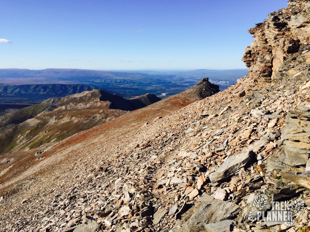
Looking back towards Mt. Healy. This is the last time you will see the top of the mountain on this trek.
You may want to use my GPS coordinates so you won’t go passed Bison Gulch. Other hikers sometimes choose to continue following the ridge into Antler Creek which is a much longer route to the bottom!
From this point before you go down Bison, it is about another 2 miles until you finish the hike.
I thought my knees were hurting up at the top but they were killing me now for sure! I was also running low on water so it was good that I was within 1.5 miles of the end.
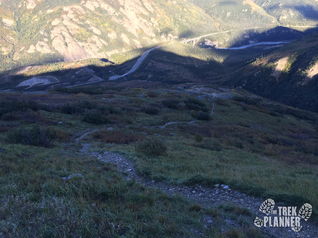
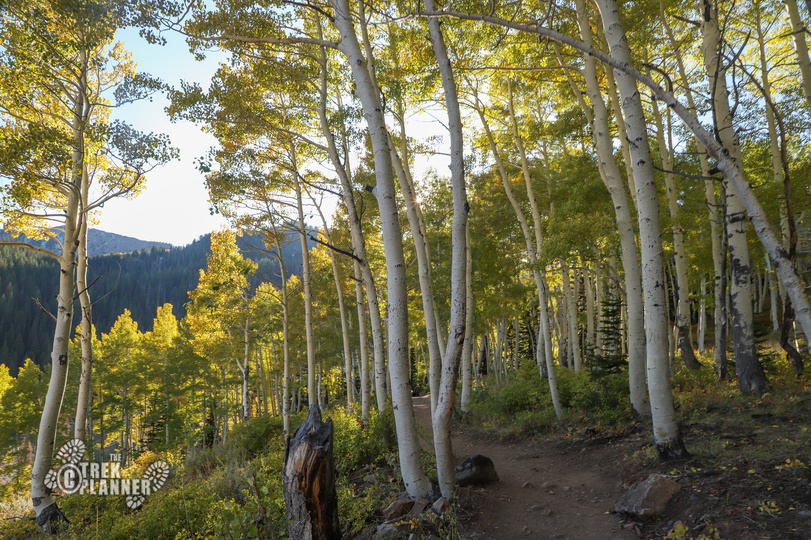
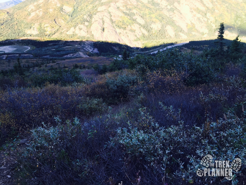
Once you are near the bottom you will come to an area where you will see trees and bushes again. I have found moose in this area so try and be aware of your surroundings.
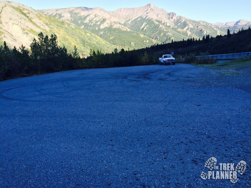
You have finally finished this trail! It was long but worth it I hope. The Bison Gulch “parking lot” is big enough for many cars and RVs. I have seen this place packed with RVs some nights in the summer.
Looking back at the trail I just came down.

Personal Thoughts
Hiking Mt. Healy is my favorite hike in Alaska. The landscape looks so alien and mysterious and on clear days you could even see Denali in the distance. I would recommend this hike to anyone who wants to do a hard full-day hike but doesn't or can't go deep in the national park.