

The Trek in a snapshot
Location
Hatcher Pass, Alaska
Managing Agency
Unknown
Pets
Allowed but this hike is very steep
Fees
$5 entrance fee to Independence State Historical Park to where the trailhead is
Restrooms
Yes. At the Independence Mine State Historical Park
Camping
Sure, if you want!
Trail Condition
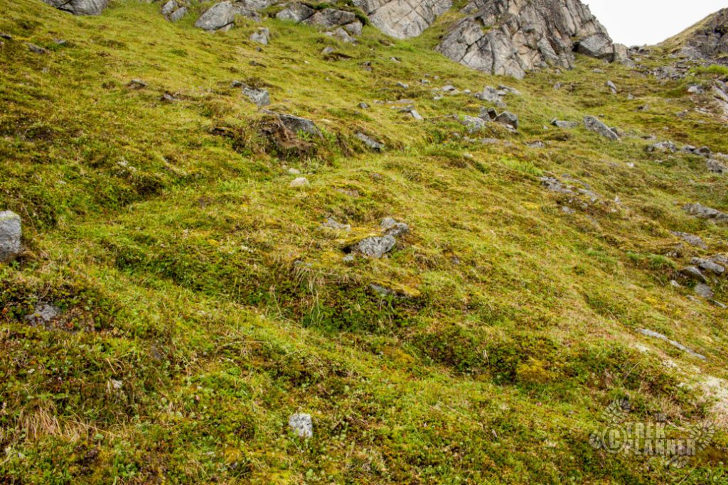
Dirt trail that disappears. Tundra hiking for a good chunk of the hike. The trail is very steep in parts
Sights
Granite Mountain, multiple mines, Independence Mine State Historical Park, tundra, wildlife, mining artifacts
Water Info
Bring 2 liters of water
Best Season
Summer, fall
Distance
2 miles roundtrip
Time Required
2-4 hours
Parking Elevation
3457 ft
Summit Elevation
5016 ft
Elevation Difference
1559 ft

Trek Planner Maps
Parking Lot: 61.79153, -149.2817
Granite Mountain: 61.7 9297, -149.30272

Experience. Discover. Explore.
Follow along on our adventure then go out on your own!


Note: I wasn’t planning on hiking to the top but when I discovered I was halfway there I decided to turn on my GPS and track my movement then. This is why the map is missing parts.
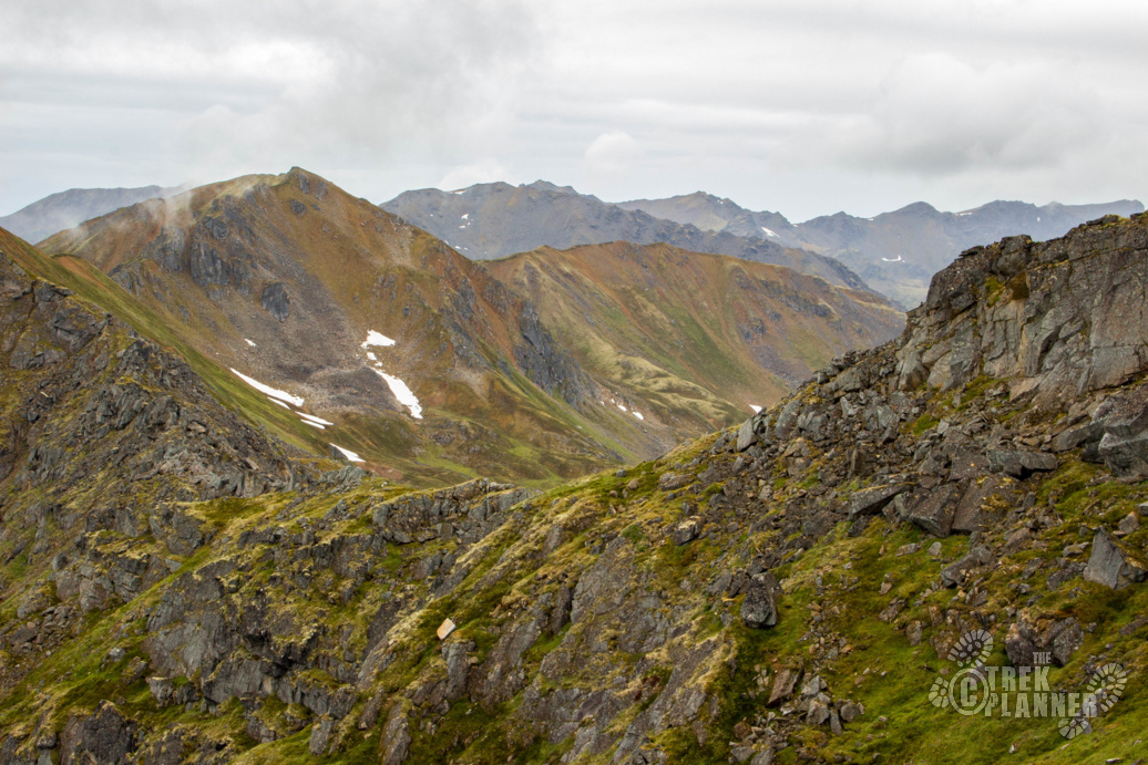
This hike is steep and the narrow trail disappears often, but the views are incredible!
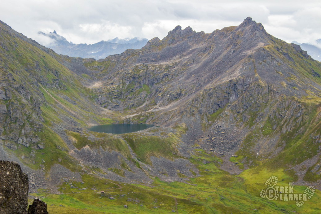
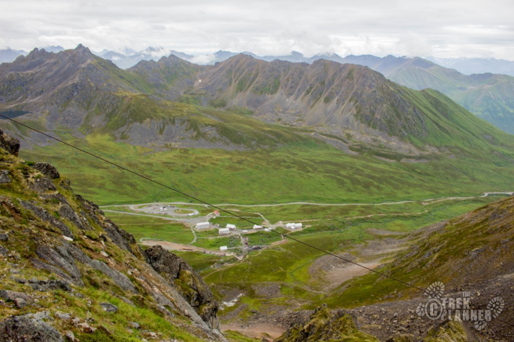
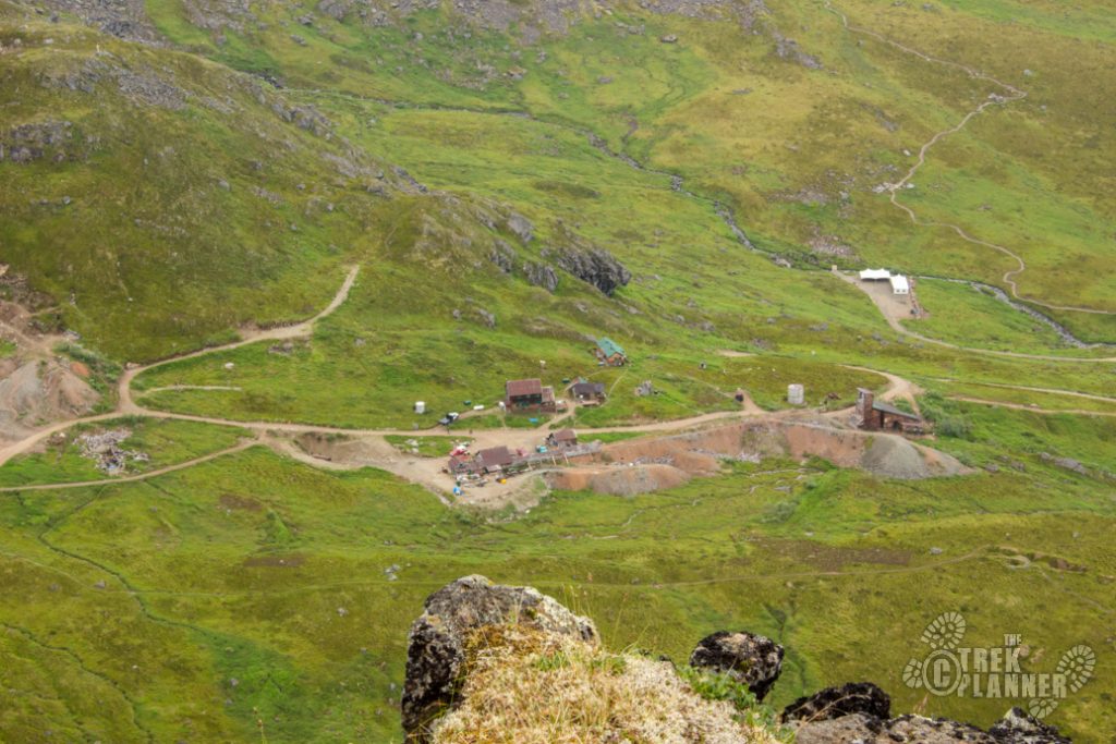
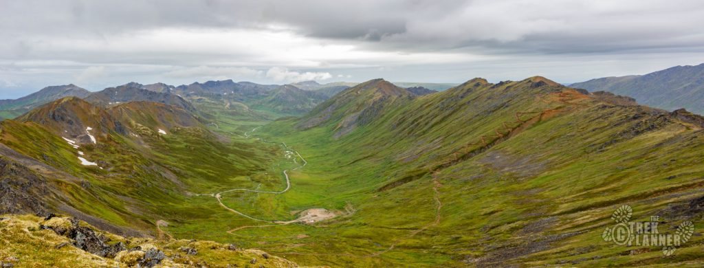
You will begin this hike at the Independence Mine State Historical Park. While you are here, enjoy this beautiful place! The park is pretty busy but you will leave the crowds behind as you summit Granite Mountain to the west.
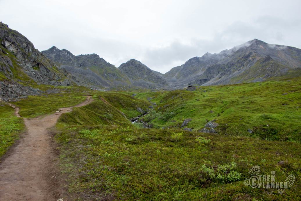
To begin this hike you will need to get on the Mill Trail at the Independence Mine State Historical Park. Follow this trail until you come up to the top of the mill and then look west to where there is giant pile of orange-ish mine tailings. You will see another small trail that goes up to these tailings so follow that up!
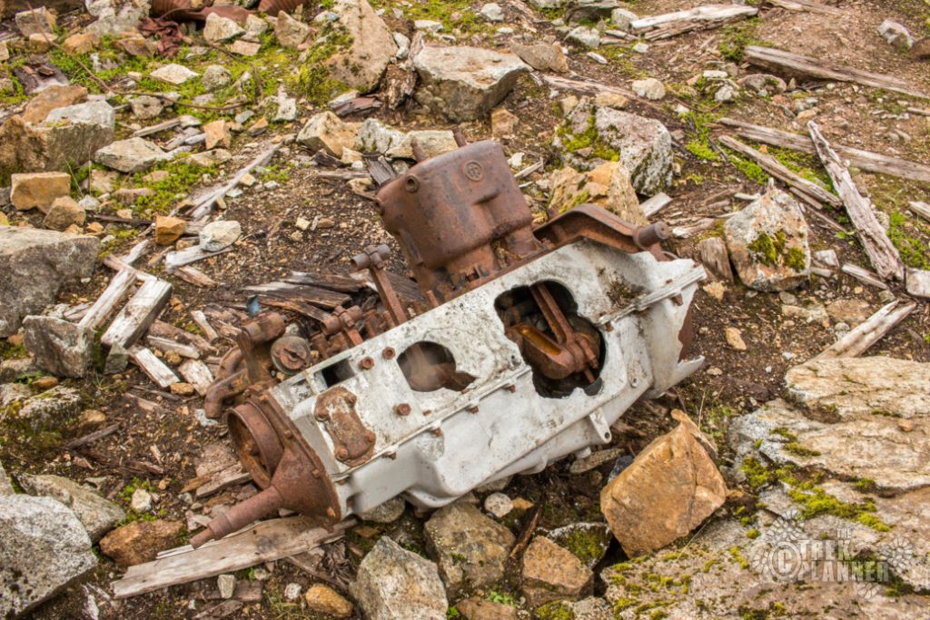
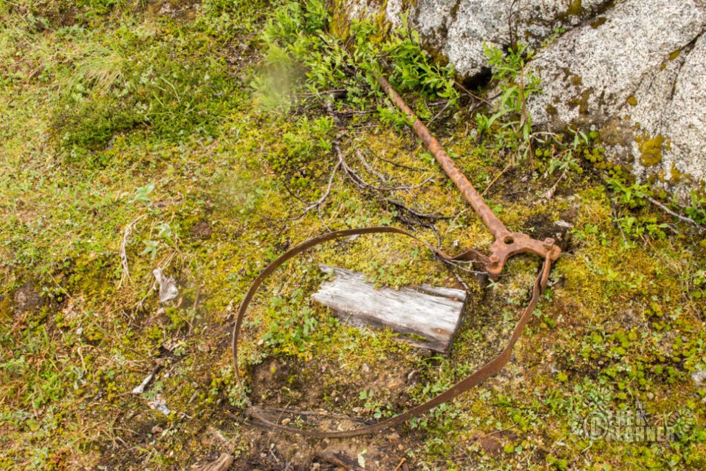
You will find tons of interesting mining artifacts from the state park. You aren’t allowed to remove or even disturb these artifacts but they make for great pictures!
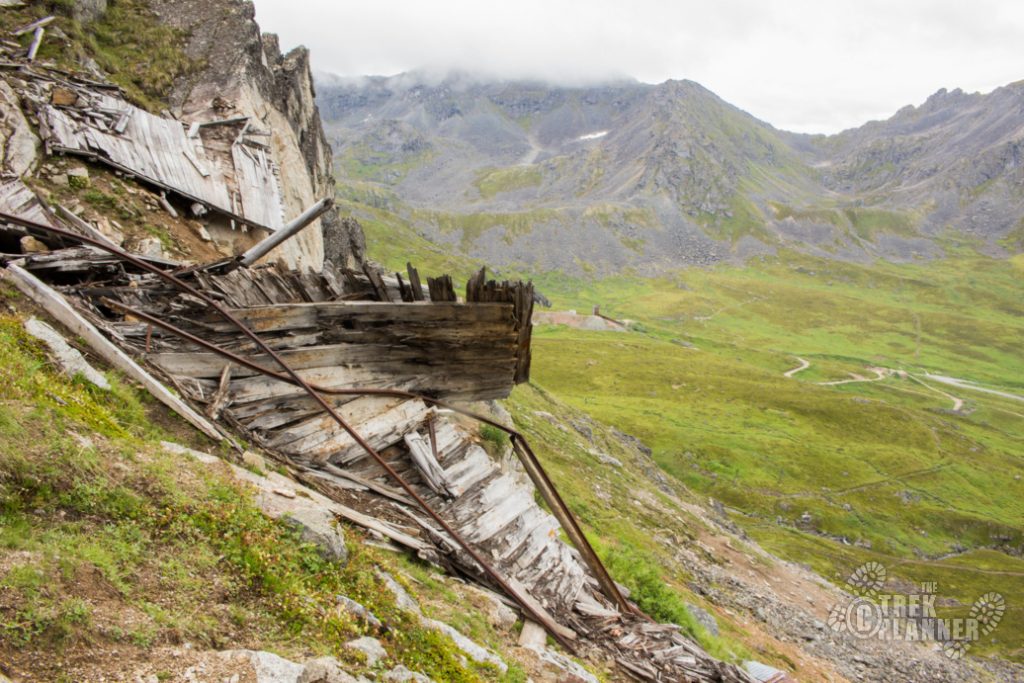
The entrance to the Independence Mine is right here too. It has been caved but it would have been amazing to explore if it was still open.
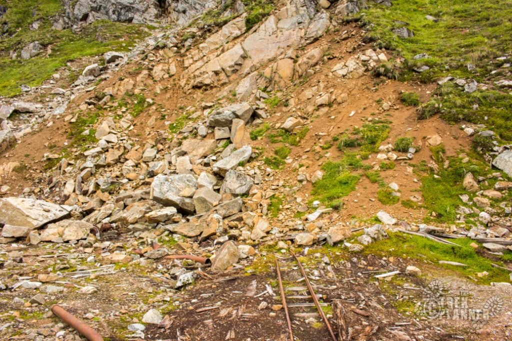
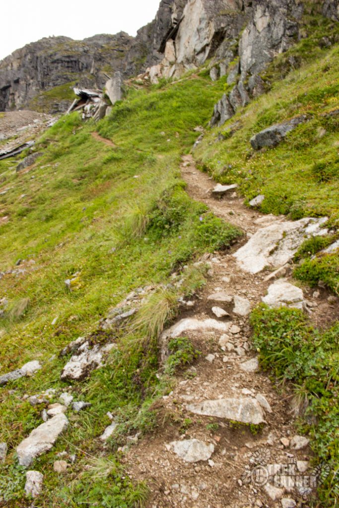
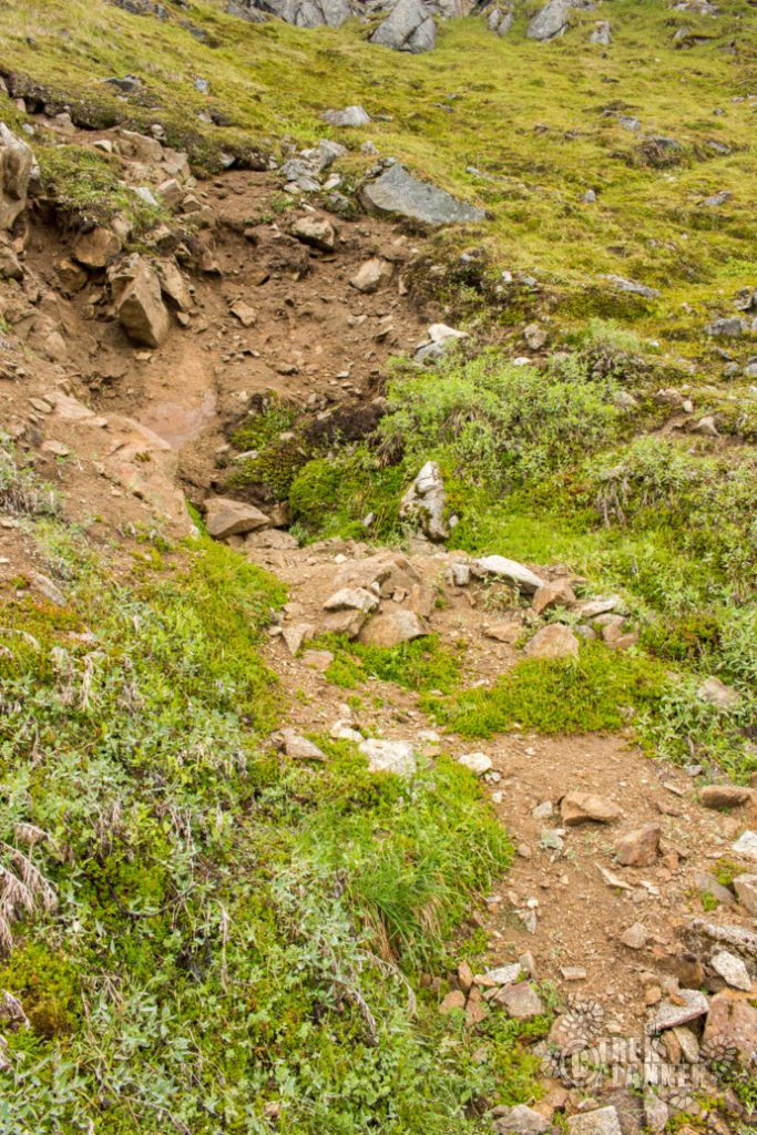
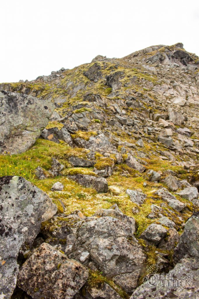
To begin your ascent, look to the right of where the rail tracks are. There is a narrow trail that zigzags up the mountain – follow this one. Keep a watchful eye because the trail will disappear and then reappear.
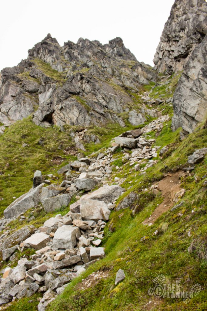
It seems like the miners created this path because it appears to be cut out from the mountain. It has long since been overgrown but you can see that it was used years ago.
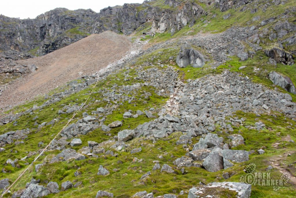
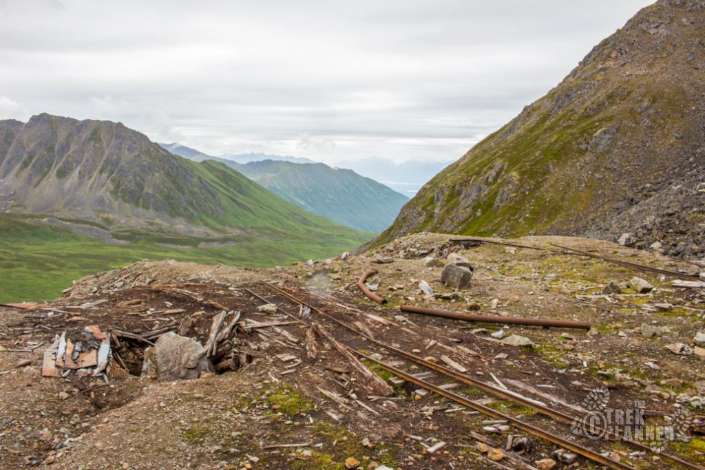
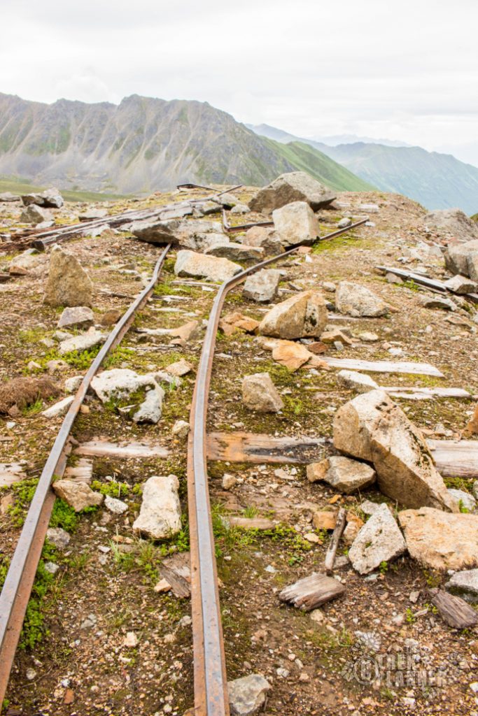
After about a quarter mile of hiking, you will find a random cable hanging from one side of the mountain to the other. You will also see a prospect and some other mine artifacts.
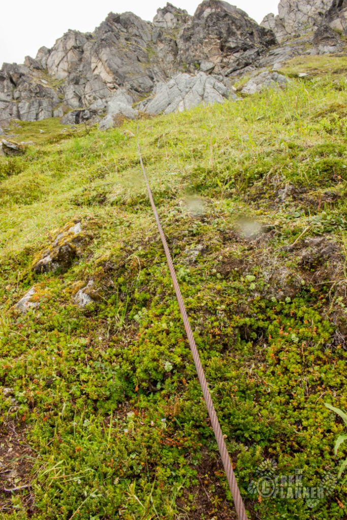
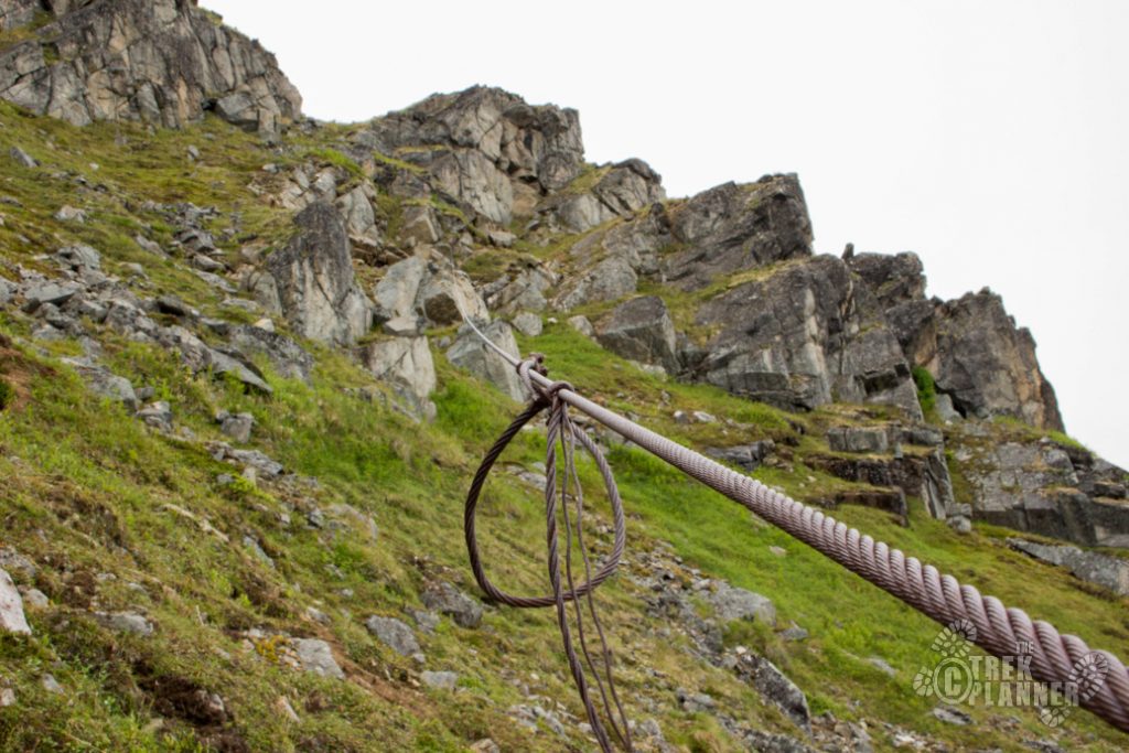
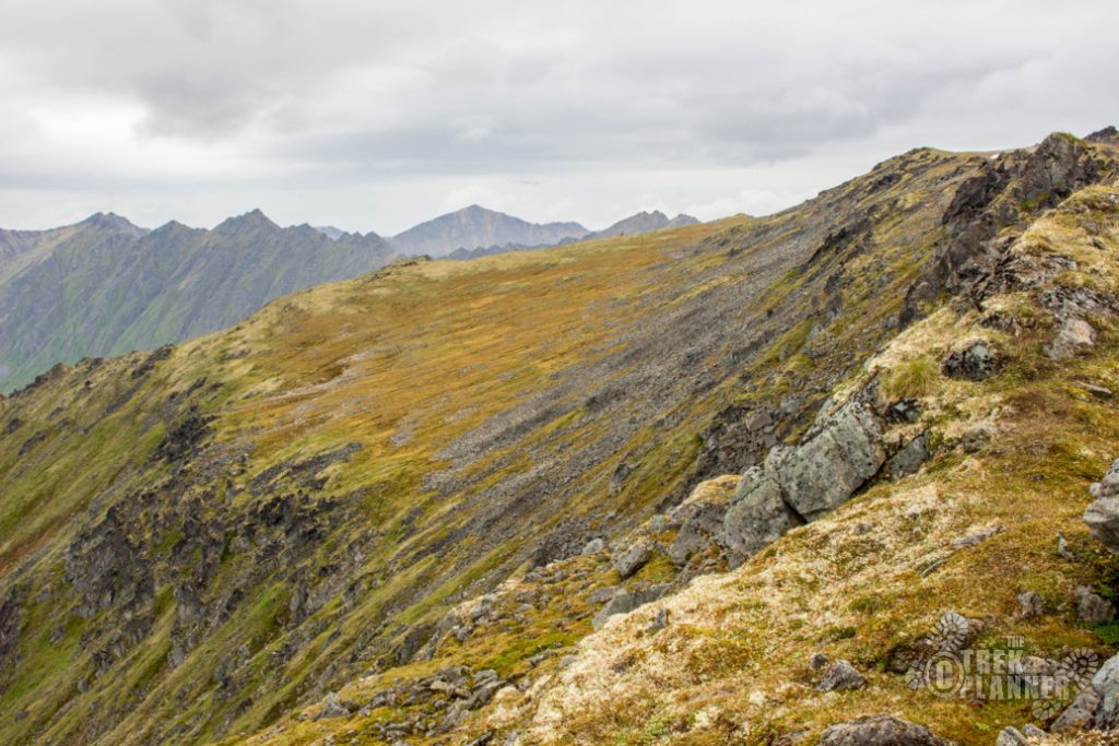
The trail continues to the north from here.
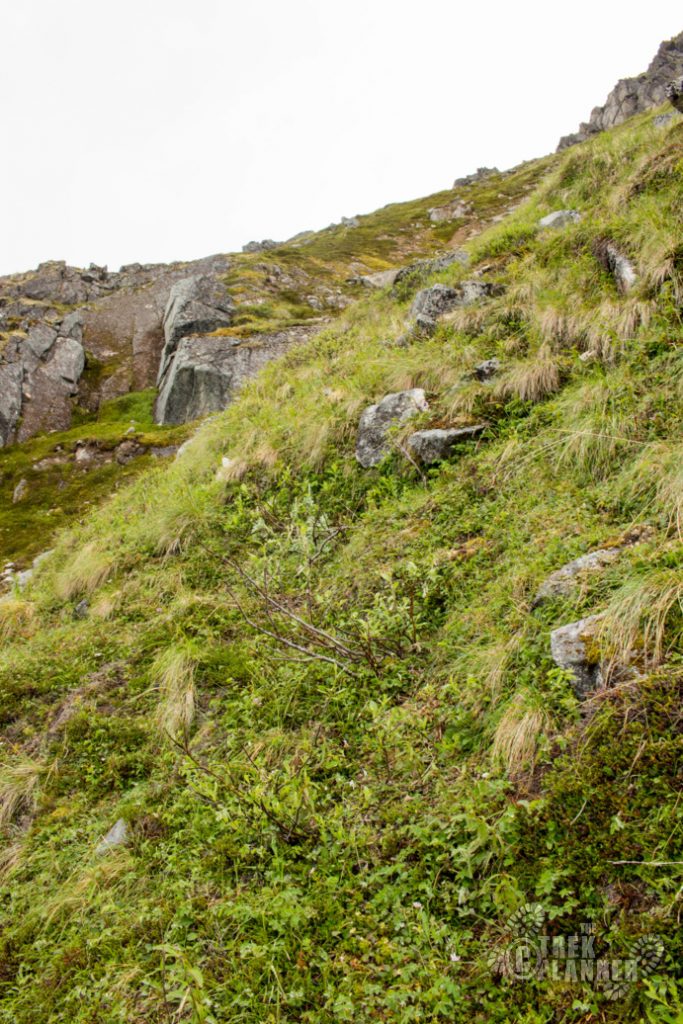
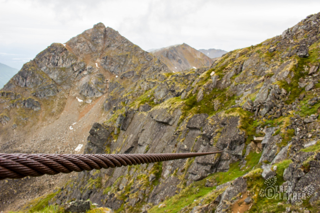
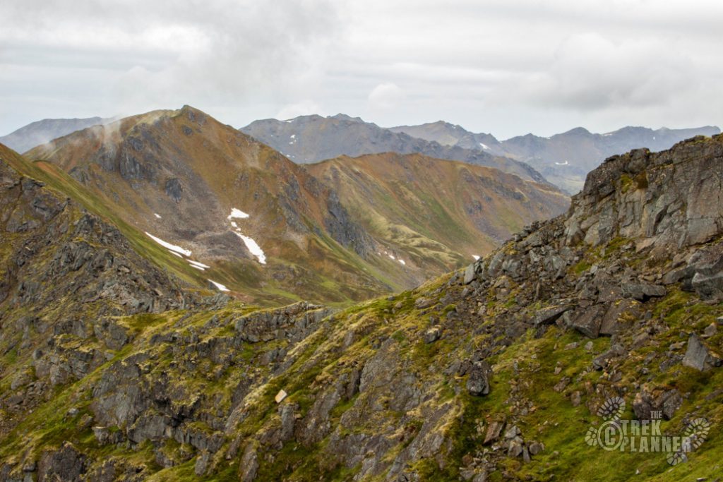
The trail from here will continue to be steep and it will mostly disappear again. That is part of the adventure! I had no idea where I was going but I knew somehow there was a way to the top and if there wasn’t, I would just come down.
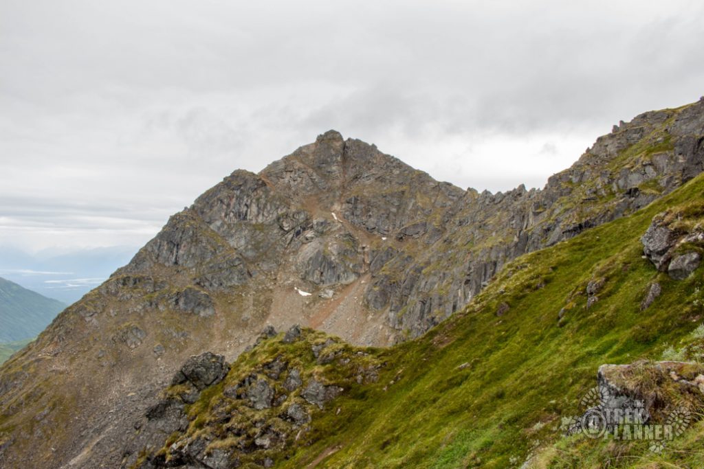
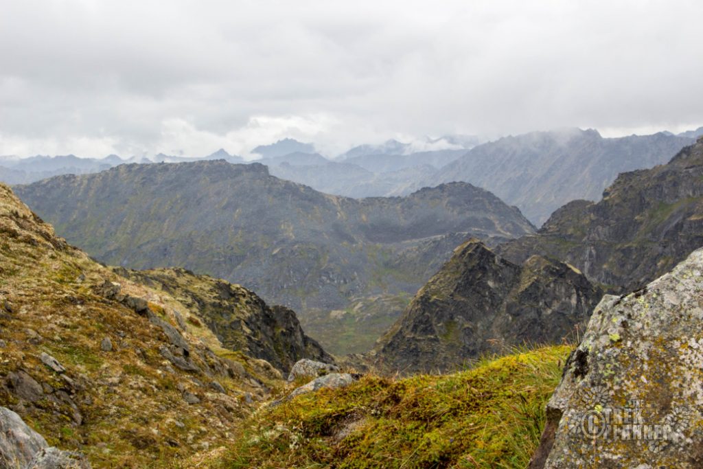
After you follow the trail in the picture above you will come to the ridge. Follow the trail north until you come to a spot where you can easily scramble to the top. I kept going until I could see the actual summit and see a wooden cross at the top.
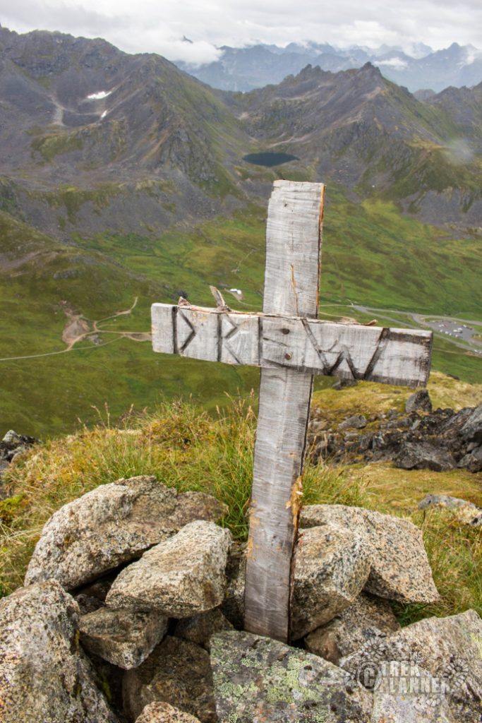
You will know you are at the summit when you see this wooden cross with the word Drew carved in it. I don’t have any idea who Drew is but the cross looks old.
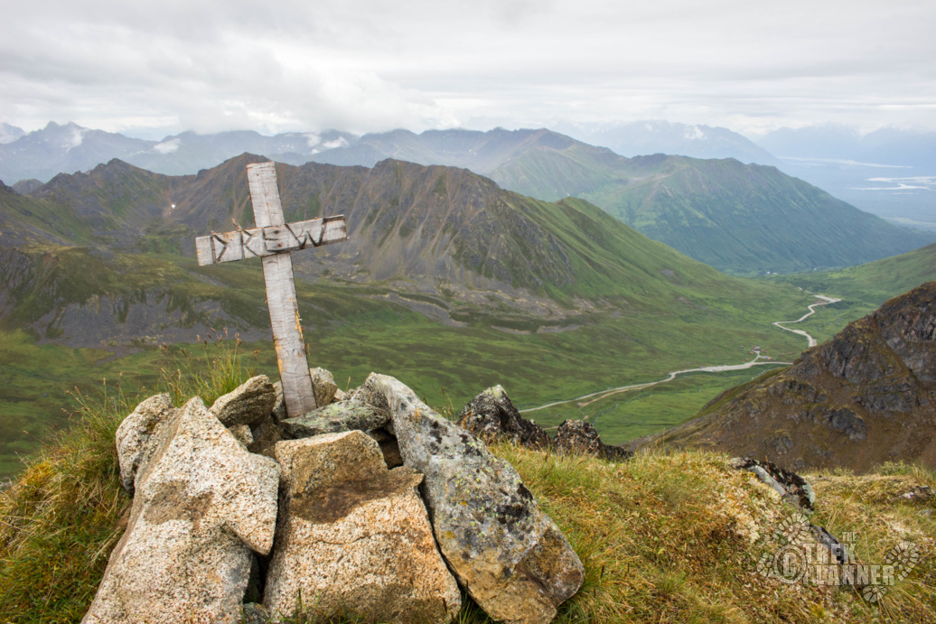
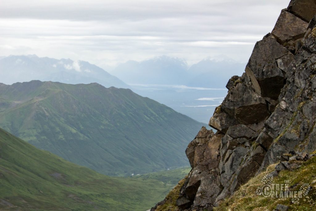
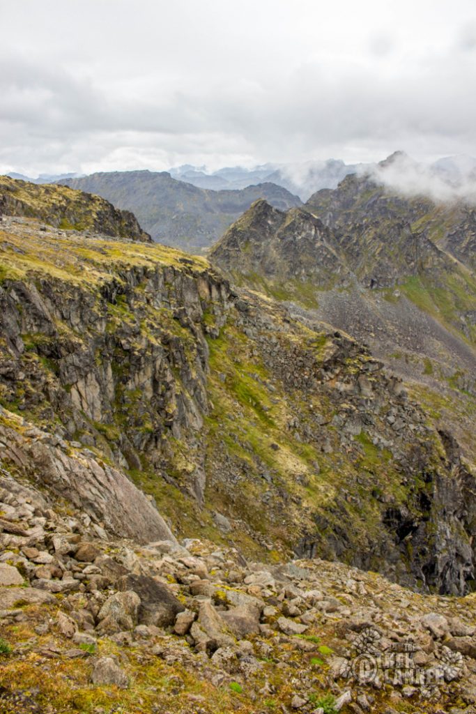
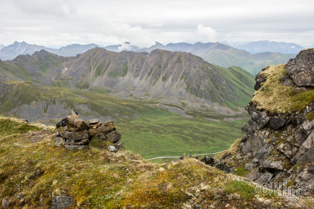
You will get incredible 360 views from here!
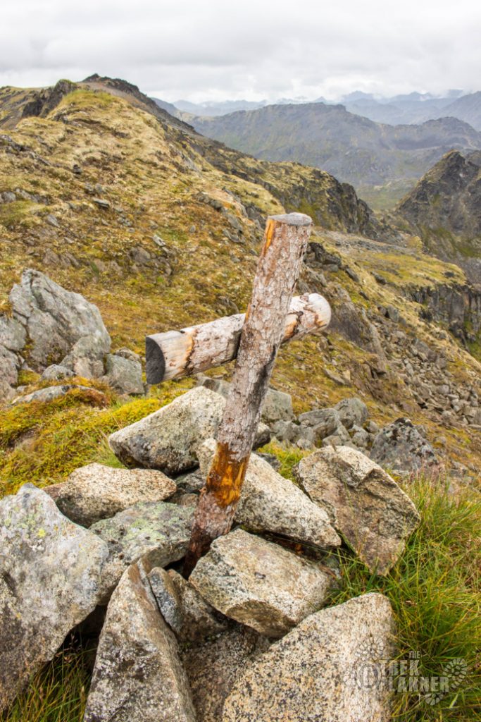
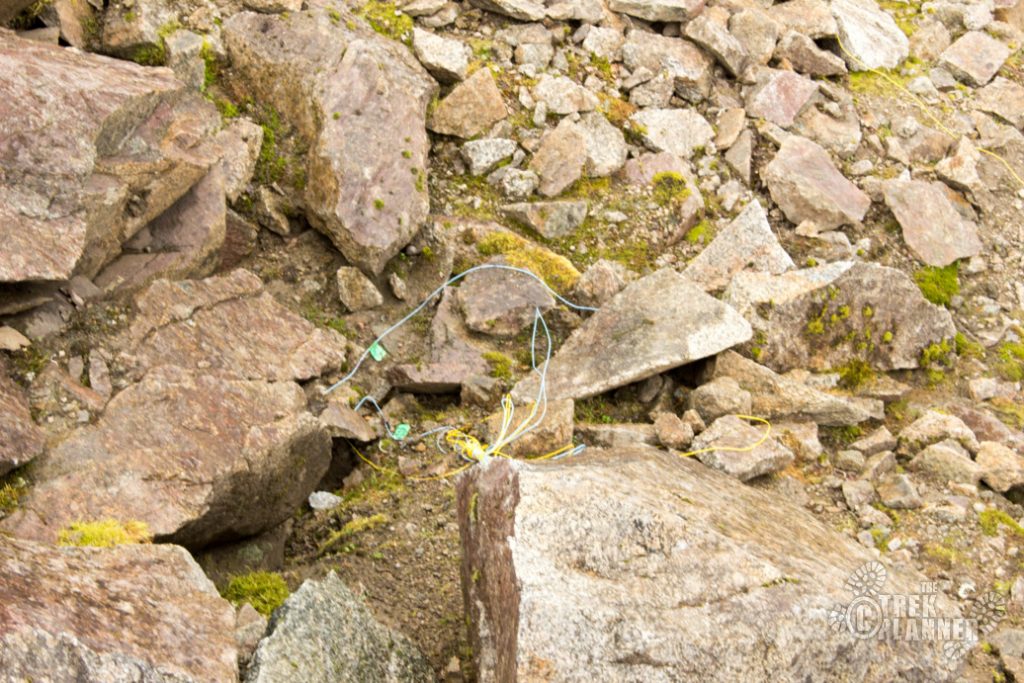
Be careful if you hike to the north side. I found some blasting caps still stuck in the granite.
You may also notice several places where someone piled rocks together. Not sure what is going on here but it may have to do with marking the boundary of a mining claim?
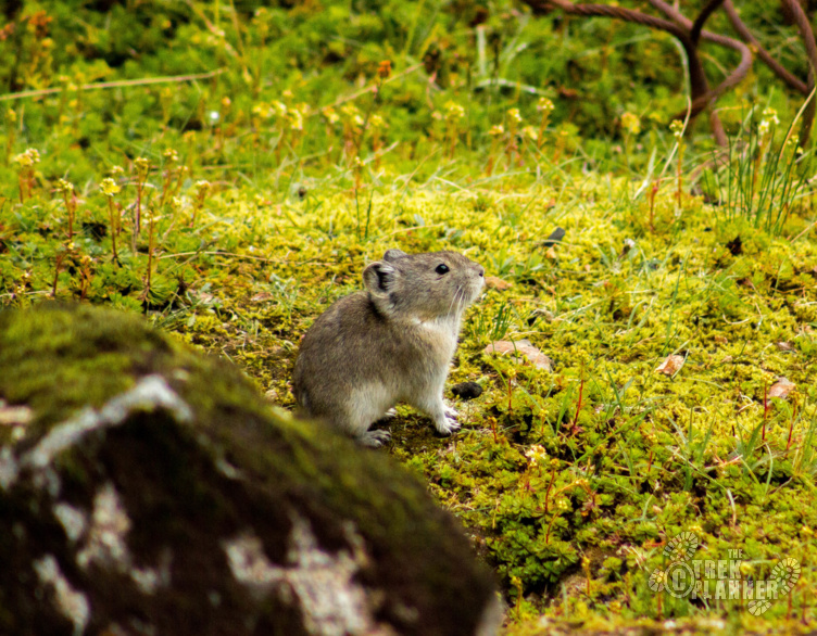
As for wildlife, I didn’t see much on this hike. Not a whole lot of animals prefer the steep cliffs but I did see some hoary marmot and pika.
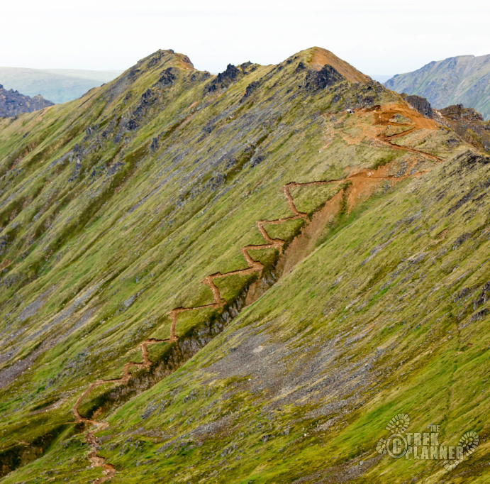
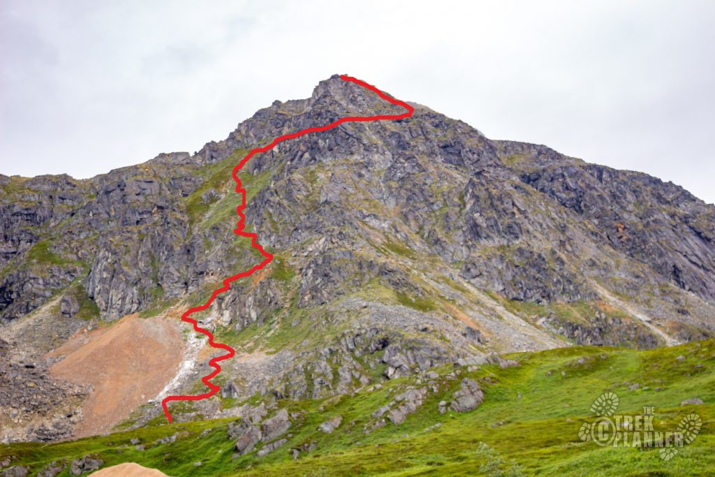
I followed the same route. Be careful of the steep cliffs and edges going down!
Here is a picture of the route I took hiking up.
Personal Thoughts
This was a great hike that I just didn't plan on doing in the beginning. Luckily, I had enough water and snacks to make it to the top. The views alone are worth the steep journey.


