
The Trek in a snapshot

Trek Planner Maps
Adams Canyon Trailhead: N41° 3’58.35″, W111°54’35.50″
Adams Canyon/Cabin Junction: N 41° 3’59.53″, W111°54’13.39″
Spring about 1/2mile from the cabin (bring a purifier): N 41° 4’29.80″, 111°52’35.62″
Adams Cabin: N 41° 4’21.58″,W111°52’25.46″

Experience. Discover. Explore.
Follow along on our adventure then go out on your own!


If you have a Suunto Watch that supports “Routes”, you can download this route here. I did all the work for you. Download it to your watch now!
Check the route in
MANY people are familiar with the famous Adam’s Canyon in Layton, Utah, but those same people do not know about Adam’s Cabin – a public use cabin/shelter, located nearly 3000 feet above the parking lot.
I have hiked to the cabin numerous times over the years and and it seems like more and more people are becoming familiar with it, at least by name. And now I present to you, in all of its glory, the revealed way.
Thankfully the cabin is nestled near the top of the mountain, which will keep MOST people away. There are no flat areas or switchbacks on this trail whatsoever. Its ALL uphill (as with most hikes, right? BOOTYSHAKE) IF you are OUT OF SHAPE – this hike is NOT for you. Sure, it’s GREAT exercise – but the cabin is the reward, along with it’s great views of Davis County and the Great Salt Lake.
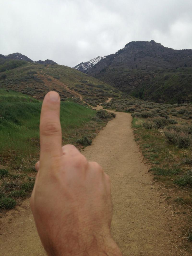
The trailhead for the canyon is the same as the Adams’ Canyon hike. When you reach the top of the dirt switchbacks and start to enter Adams’ Canyon this is where the Cabin Trailhead begins (see pic below with my finger pointing at it).
From the trailhead – the path is quite easy to see. Up and Up and Up you go! About 3/4 along the path is where the “bushwhack” begins. I call it a “bushwhack” because the vegetation is sprawling over the trail and will snag anything and everything you are wearing – even though the trail is still visible. I would guess that a lot of people make it up to this point and turn-around here.
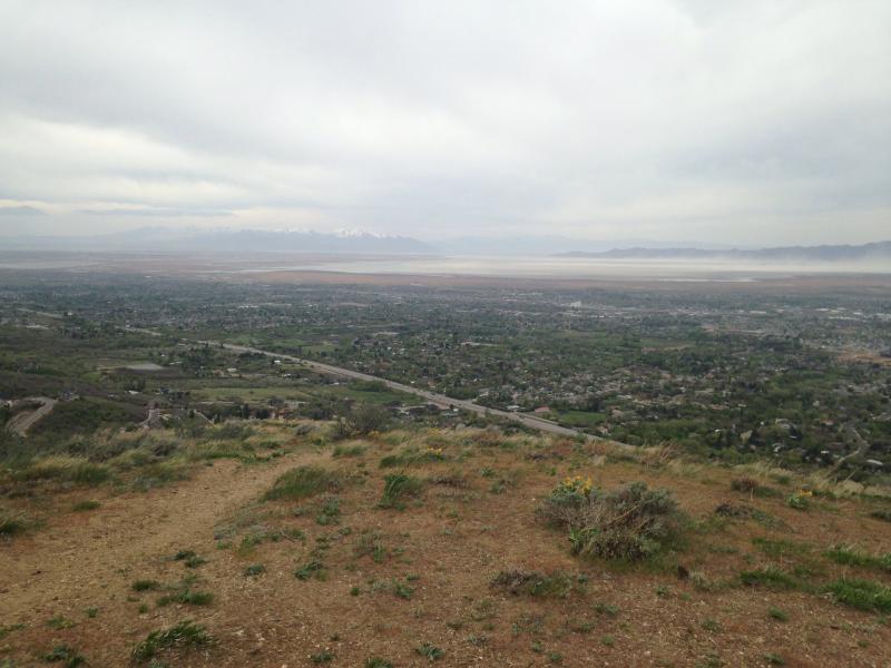
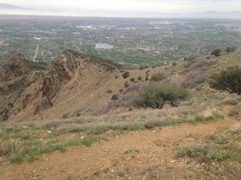
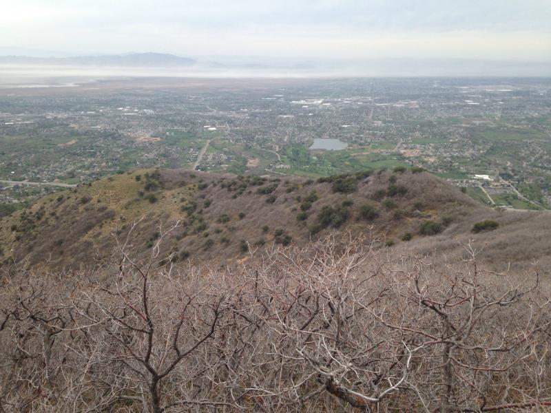
Looking towards Davis County.
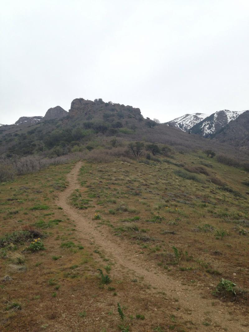
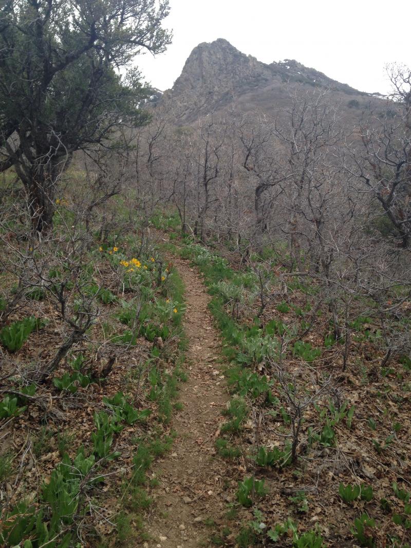
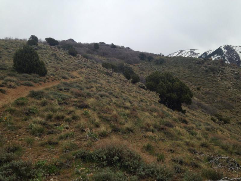
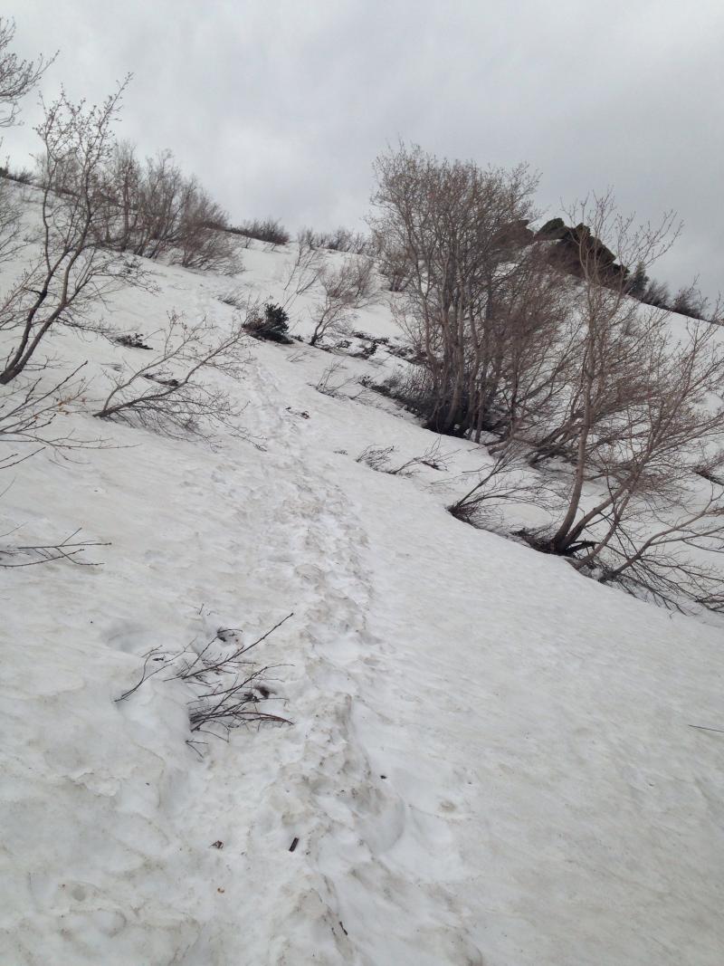
This is what the trail looks like for about 1/2 of the hike. Most avid hikers should have little difficulty reaching here.
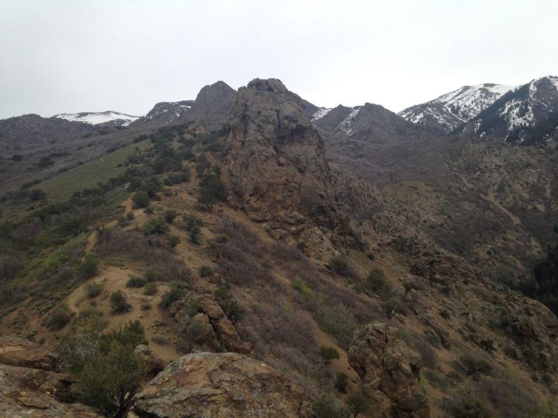
What my friends call the “beast”. This rock face is a good turn-around point if that first section was just too strenuous for you. It WILL get worse as you ascend.
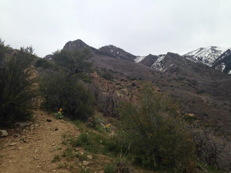
Looking back at the trail, you can see the steep angle at which you will be hiking.
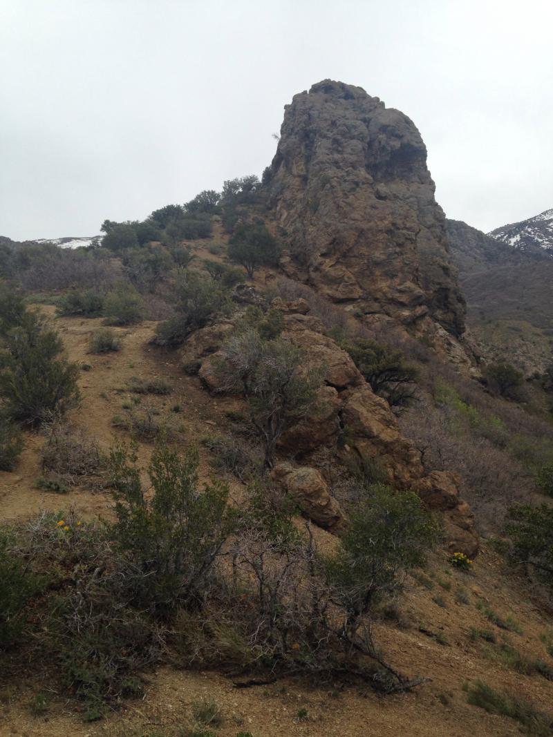
Encountering the “beast”. It’s a BEAST hiking JUST to this for most average hikers.
Continuing up, the trail goes from really steep to moderately steep. But UP you go! Keep going!
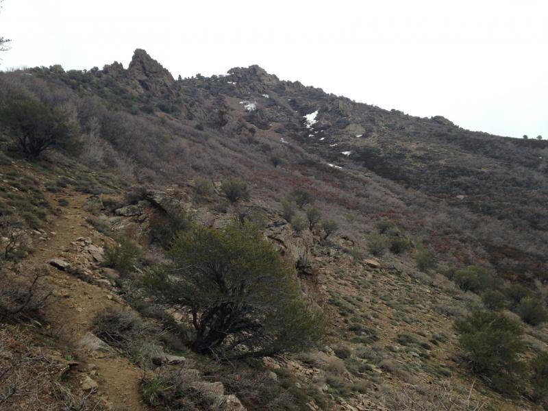
A few hundred yards looking back at the “beast”. Notice the trail alongside of it.
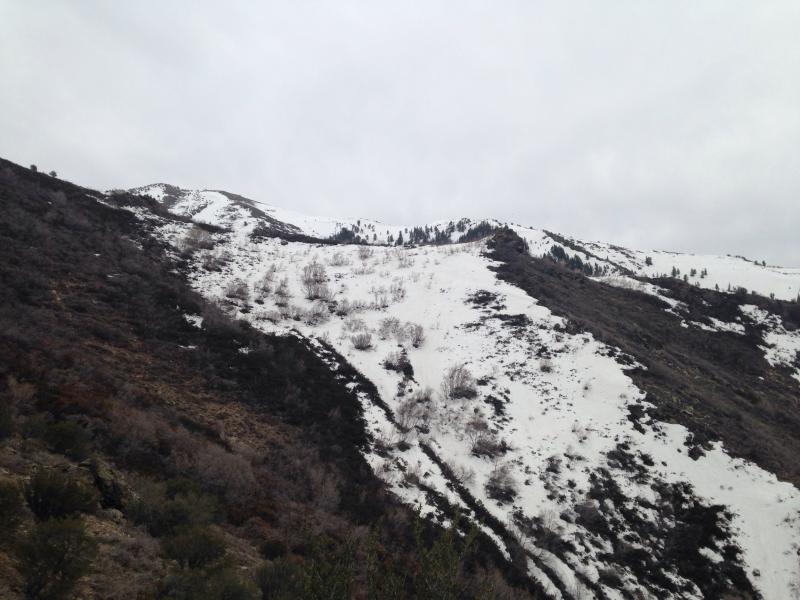
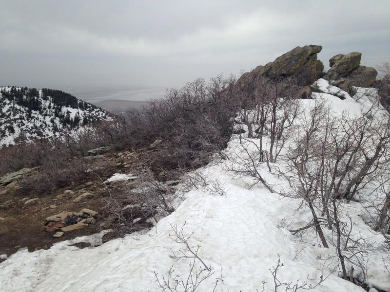
At the highest point, you can see snow. Go one level or ridge below and you will see two distinct areas or downward-slopes that have snow on it. The right one (south) is where the cabin is located.
Entering the bushwhack! Thankfully at this particular time (late April) the Scrub Oak was not in full bloom yet. This stuff will snag onto everything that you are wearing. Thankfully, the trail is still visible so you don’t get lost.
Be sure to turn back around and admire the smog-less Davis County. This day was overcast, which made hiking this – even easier!
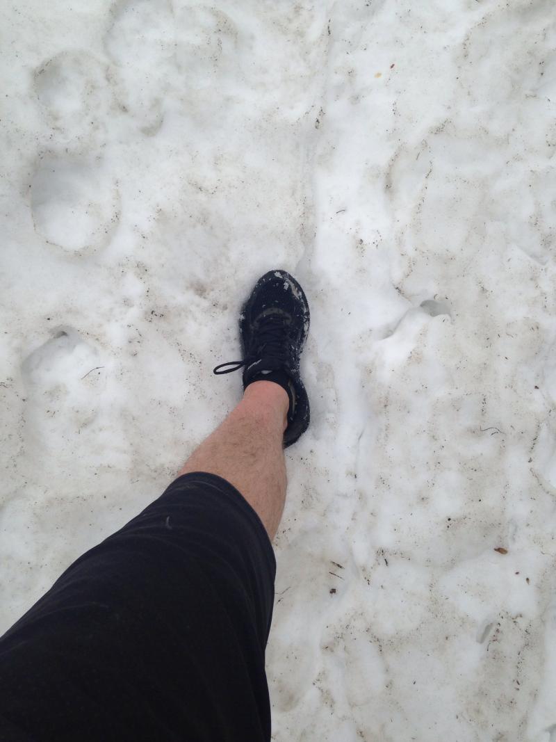
On this adventure – about 1/4 mile from the cabin, I ran into snow. Knee deep (This was Mid-April). Thankfully, my running shoes kept my feet dry. But it was bad, heavy snow. You had to be careful where you stepped as to avoid post-holing. It was clear at this time, that I was the first one up there in a few months, evidenced by the lack of snow footprints.
Once on top of last climb up to the ridge, hike-downhill (your first time yay!!) for 40 feet to the South, until you see the cabin.
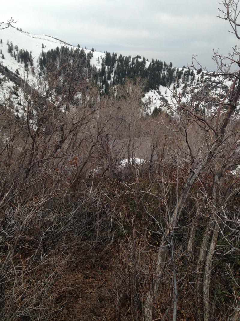
The cabin hidden behind the Scrub Oak. See it?
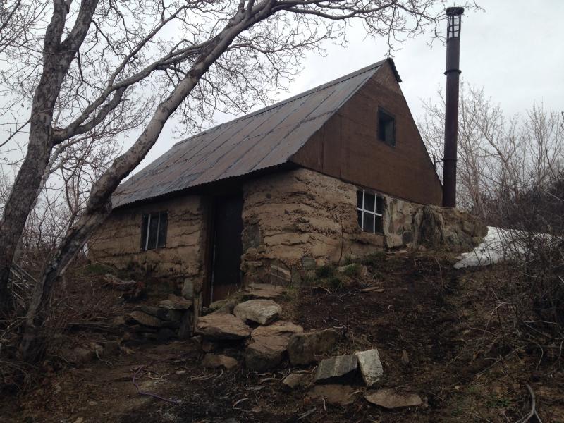
Here is the cabin! You made it! This picture was taken in Late-April. Yes you will encounter this snow as you are nearly at 7500 feet (?) I’ll need to double-check that elevation. (Notice the graffiti!)
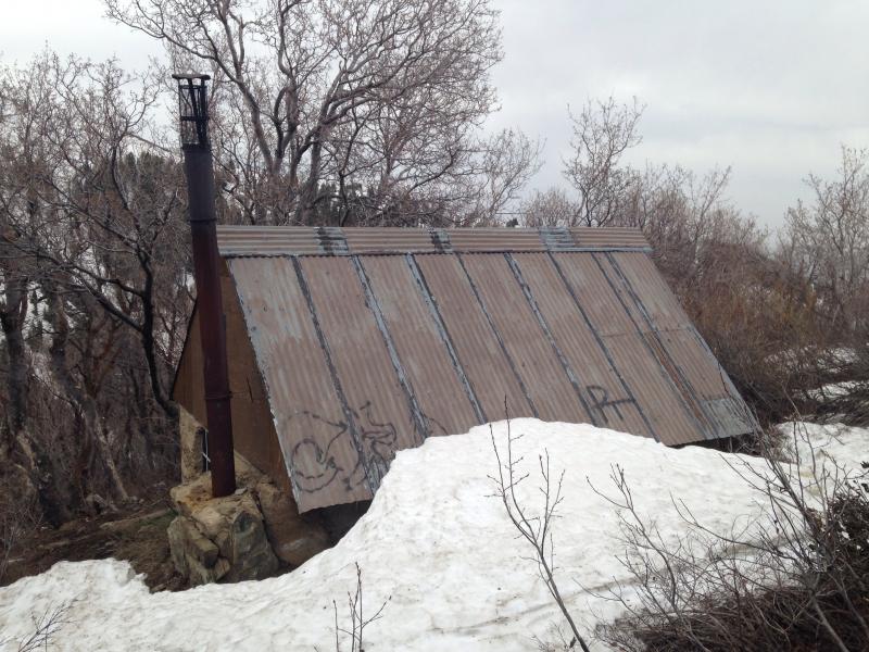
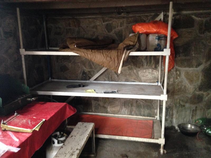
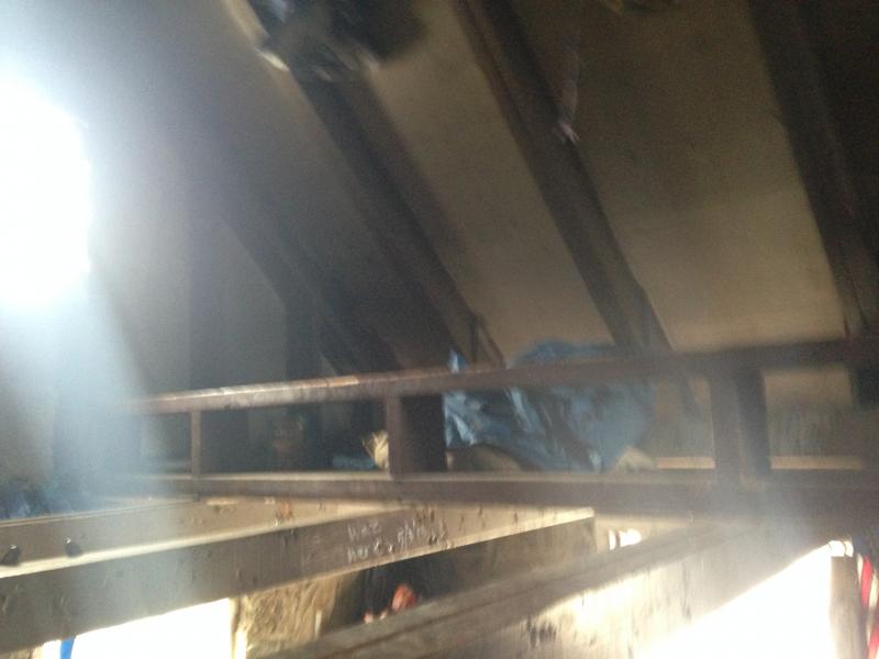
The cabin is in decent shape – although the interior could use a cleaning. Trash was everywhere in the corners and on the beds. If I came prepared with garbage bags, I would of hauled it out. Cleaning out the cabin would be a good project if you have a horse or two; or a few extra hikers. There are a LOT of OLD, crusted out 2-liter bottles and 5-gallon containers stacked in corners clogging up space. Please bring a trash bag if you decide to hike this and make it cleaner than how you found it. Perhaps bringing a camping broom and dustpan would be nice of you too.
After 30 minutes of lounging around and charging up my cell-phone, using my Goal-Zero Switch 8 battery-charger, it was time to head back down. What a great trail!
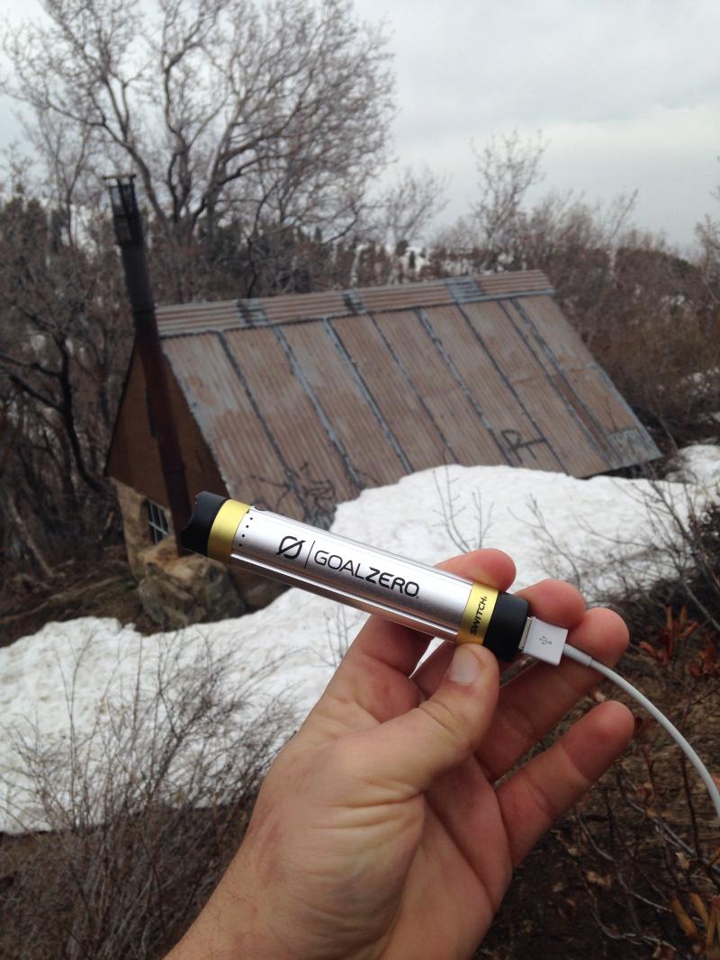
Come on GoalZero! I’m a sucker for freebies and I’ll test your stuff for you and give you a decent review. (Is begging, poor form? :P)
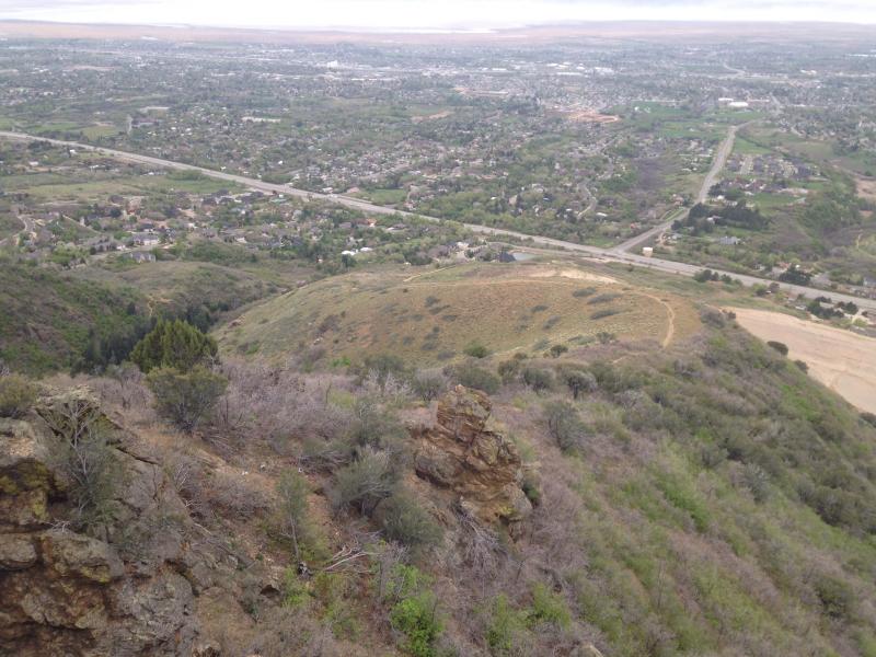
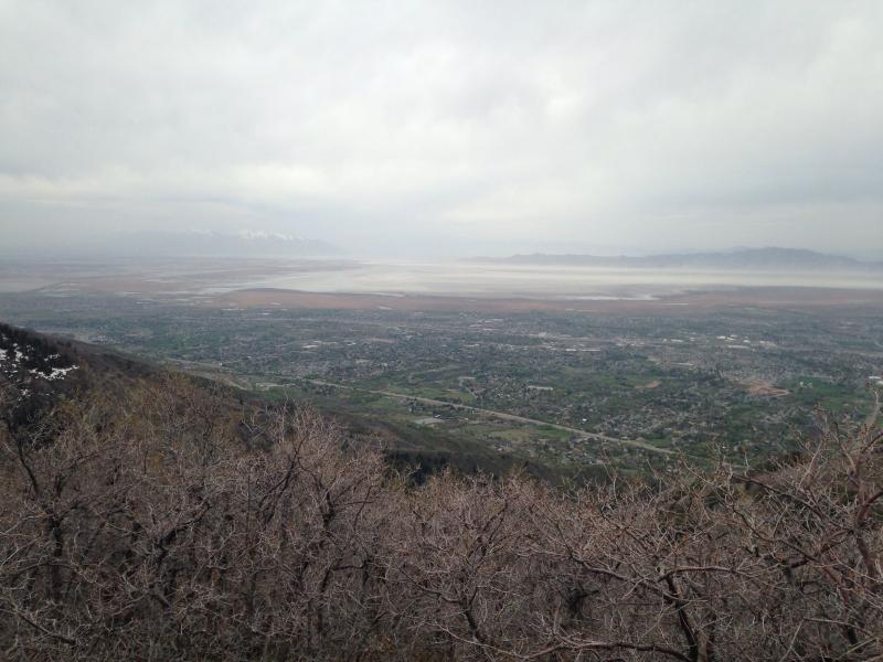
Looking back into Davis County from the Cabin. Enjoy the solitude!
Lastly a few of my stats from the hike:
Total Hike Time: 3 3/4 hours (including 25min break on top).
Total Mileage: 5.24 miles (one way is 2.62. Another website claims it is 3.5 miles one-way. That is false.)
Elevation Gain: 2871 feet (+/-50feet)
Time to Cabin from TH: 1 hr and 47 mins (power walking!)
Time from Cabin to TH: 1 hr and 5 mins.
Return the same way in which you came up.
NOTE – I have heard of people hiking south of the cabin and down into Adams Canyon towards the waterfall. I have not personally done that, but it can be done. One account said it a terrible bushwhack and of course, steep. But if you want something new – why not? This route is probably not recommended for the non-hiking kid.

Personal Thoughts
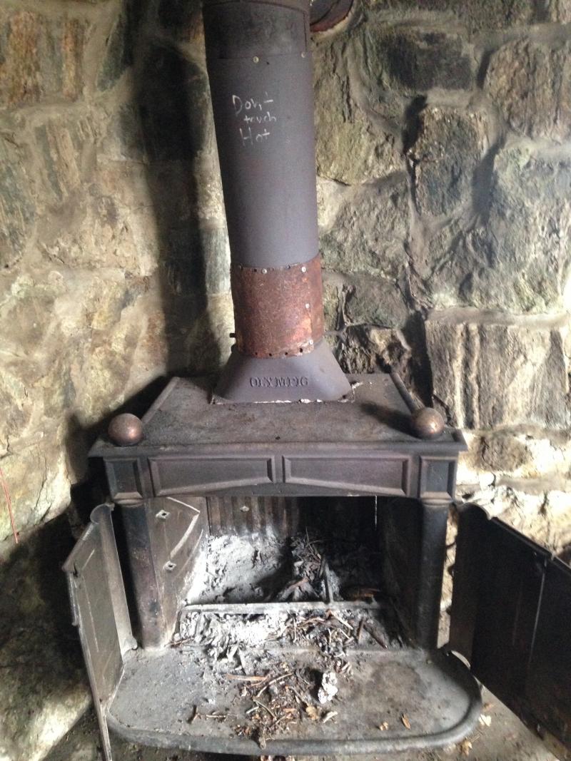
I loved the trail personally. First, because I was the sole-hiker the entire time on it. Second, I was finally able to record this journey and get some better pictures this time. Third, it leads to a great place (the cabin) and the exercise is worth it. I have NOT camped here or slept in the cabin, but I would do it. The Cabin does have the wood-fire burning smell to it, but other than that - the cabin is in good structural condition. But please, pick up trash and haul it back. Remember - leave no trace! (Well..except for your signature in the logbook of course!) And Enjoy a "gem" of Davis County. Few of which most residents of Utah will never do. Challenge your yourself - you can do it! One another thought - you could hike to this during the winter, stay the night, and ski down.


This trail is absolutely brutal in the winter but doable if you have snowshoes.
The bushwhack down to the waterfall is pretty tough.
If you have a Suunto Watch that allows for “routes”, go here to download this trail. All the hard work has been done for you. All you need to do is download it to your watch and you are good to go!
http://www.movescount.com/routes/route1498266-Adams_Cabin
Skiing down is not suggested. Too much brush. One year I took my sled and David took his skis. Sledding down was awesome and I beat him handily. I was laughing and wanted to do it again. He was cursing and said he’d never do it again.